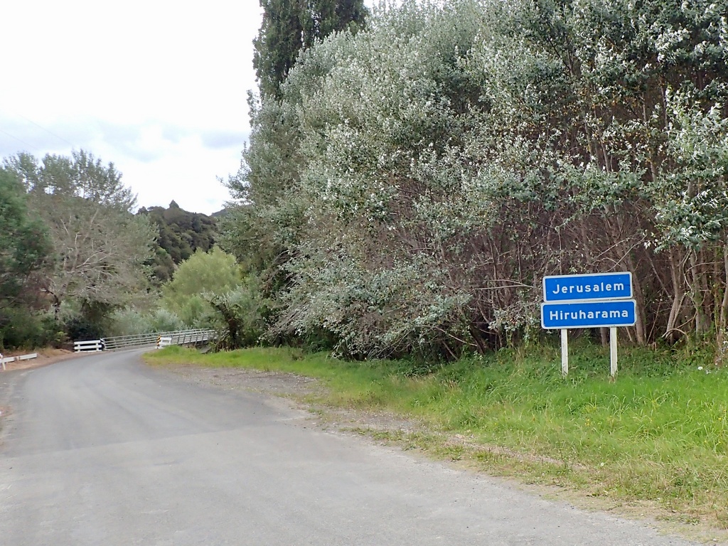
Home / New Zealand | 2025
New Zealand | 2025
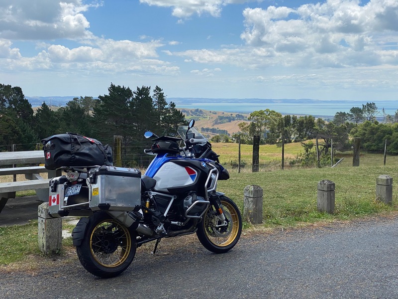
Since at least 2016 and probably earlier, Audrey and I had been planning to travel to Australia and New Zealand after retirement. We had decided to do the more difficult travel first, so riding across Mongolia or doing a lap of South America took priority. New Zealand and Australia would be easy, relatively speaking, so we were saving them for dessert. After taking our four year-long leaves of absence we thought that we would take a year to travel to Australia and New Zealand starting in July or August of 2021, after retiring at the end of June. Of course, that all changed in 2020 when Audrey got sick and then passed away in November. Audrey’s instructions before she passed away were crystal clear, “Ekke, your job is to travel out on your motorbike. What else?” But I too decided to do other trips before going to Australia and New Zealand, such as riding across Central America all the way to the end of the road in Panama or joining GlobeRiders for the Muscat to Munich tour. But now, the time had come to finally ride the last continent.I planned to ship my bike (the 2021 R1250GSA that is my “retirement” bike) from Vancouver to Auckland, spend two months riding around New Zealand, then ship across to Sydney and spend another four months doing a lap of Australia. The total estimated cost to ship the bike by boat was $9,000 plus the cost of a Carnet de Passages. Shocked by this price I had a look at buying a bike and thought that might be a better, more economical option. In the meantime, I also thought that six months was a long time to be away as my mom’s mental health was slowly deteriorating so I changed my plan to do New Zealand on its own in 2025 and then Australia in 2026. This made it even more reasonable to buy a bike rather than shipping my own.
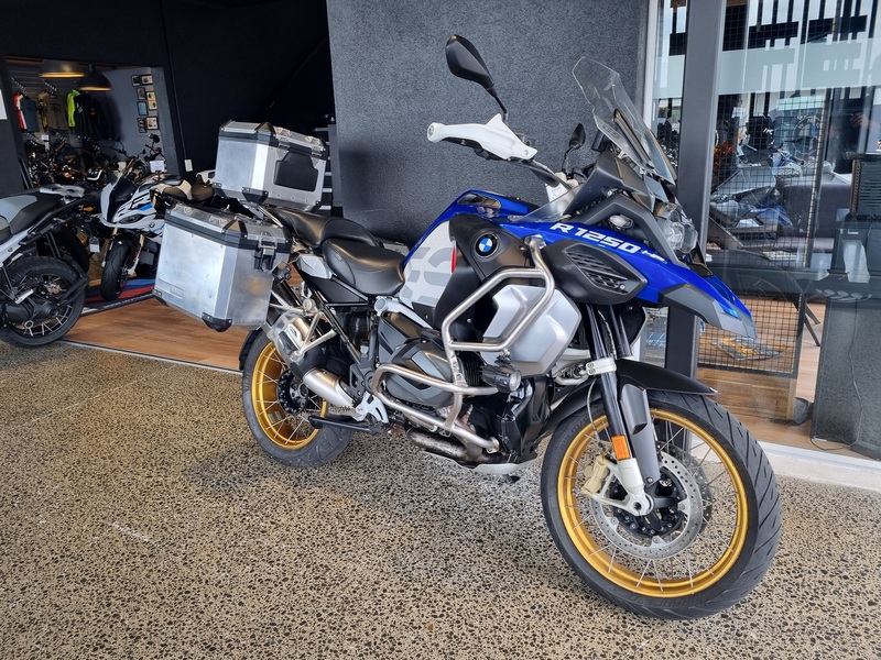
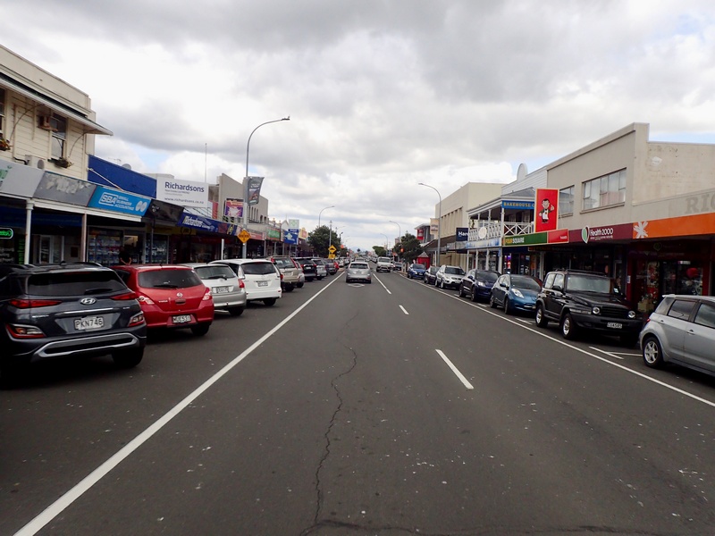
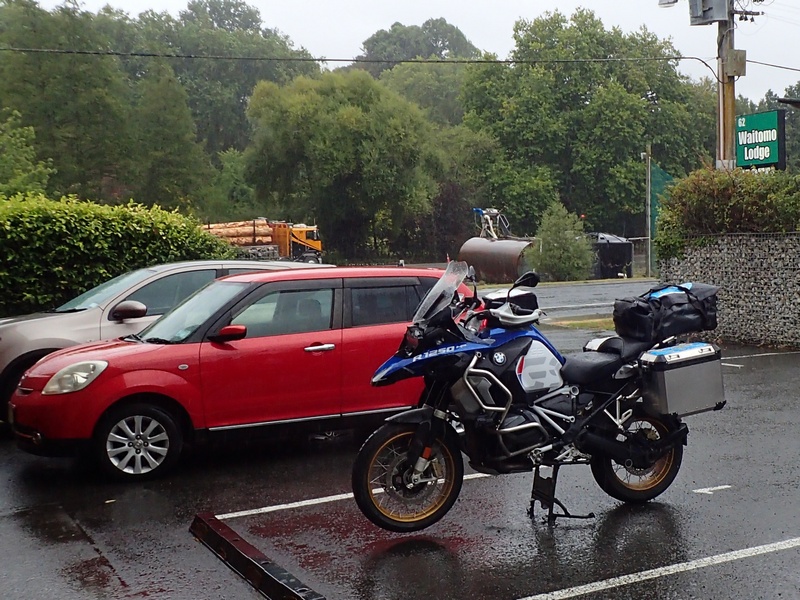
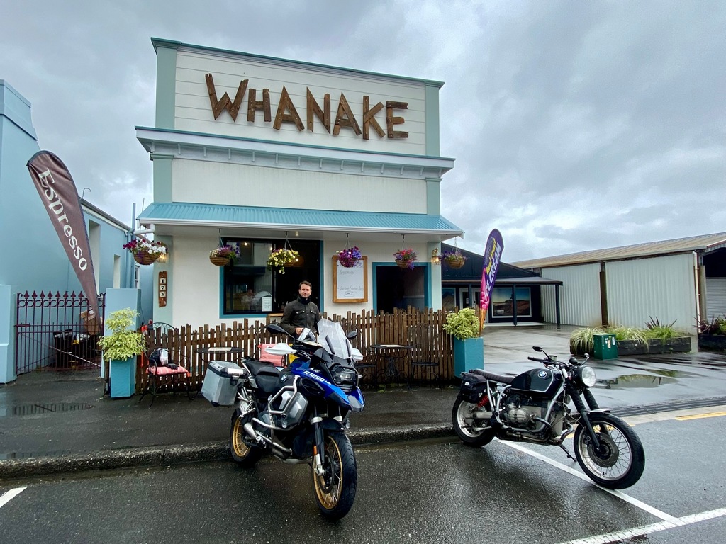
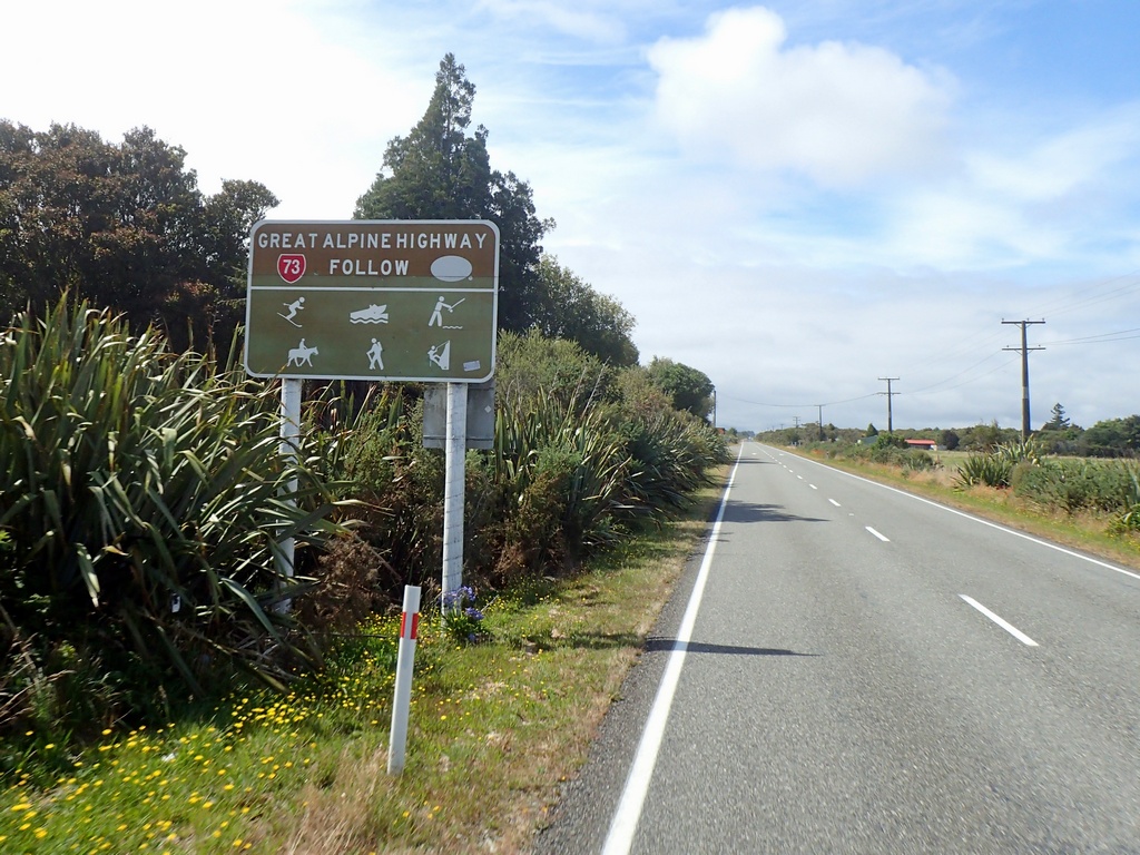
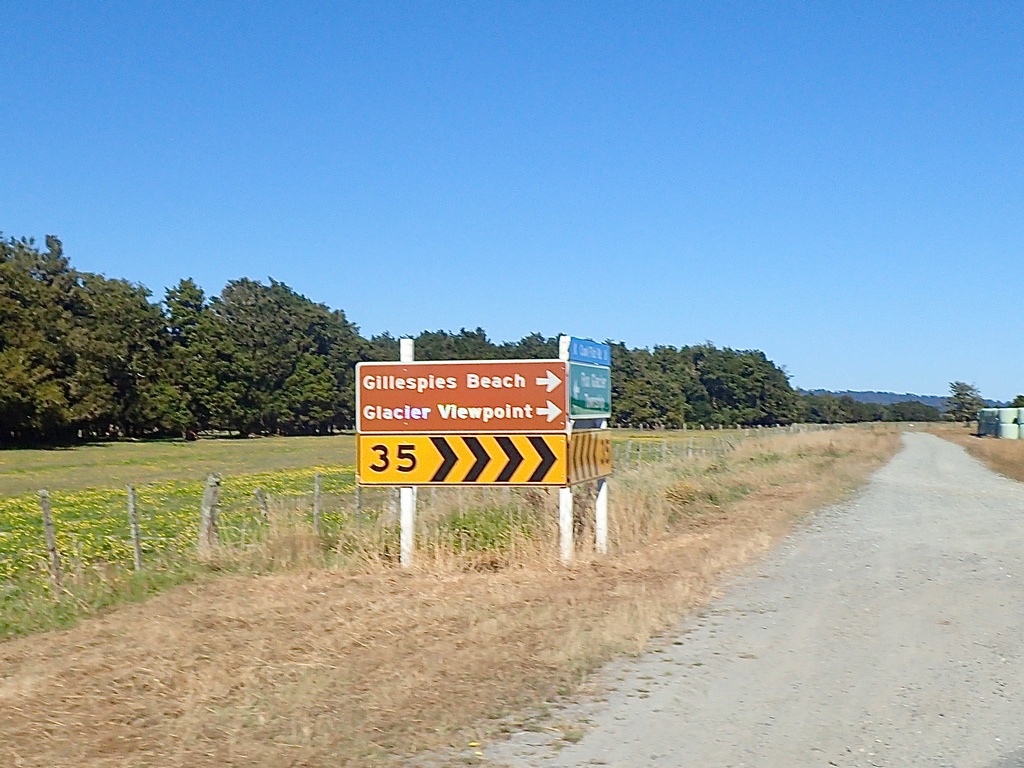
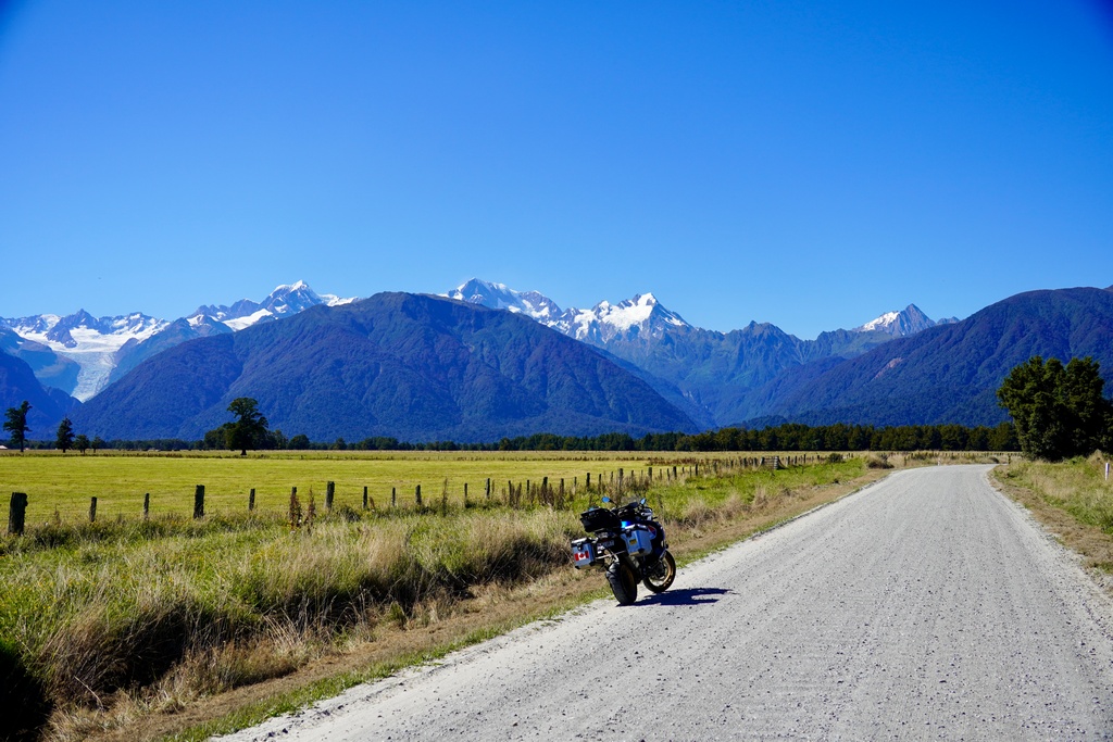
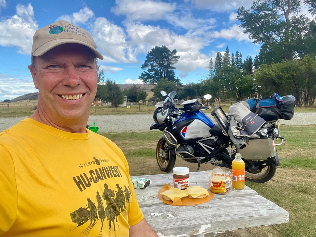
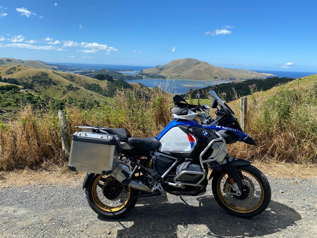
My plan was to go to New Zealand from January to March. In September I started looking for used bikes for sale in New Zealand. I found a few older motorbikes similar to bikes I have owned and liked for very reasonable prices. A friend whom Audrey and I met in Africa (see Kenya chapter) now lives in Nelson on the South Island and was willing to help with the purchase, registration, and eventual sale. I then contacted a few BMW motorcycle dealerships and asked if they would be willing to entertain a buy back plan. Experience Motorcycles of Auckland came back and said they would be able to do that and their estimate for the price difference (between buying it and selling it back to them) was very reasonable. Plus, they would take care of the registration and the Warrant of Fitness, so I didn’t need to bother George in Nelson. In November, the perfect motorcycle showed up at Experience Motorcycles, a 2019 BMW R1250GSA, very similar to my retirement bike. John at Experience Motorcycles put it away and I sent a deposit to hold it. Then a few weeks before flying to New Zealand I paid the remainder in full. I owned a motorcycle in New Zealand!
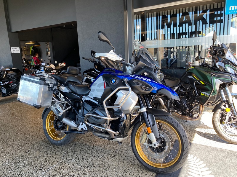
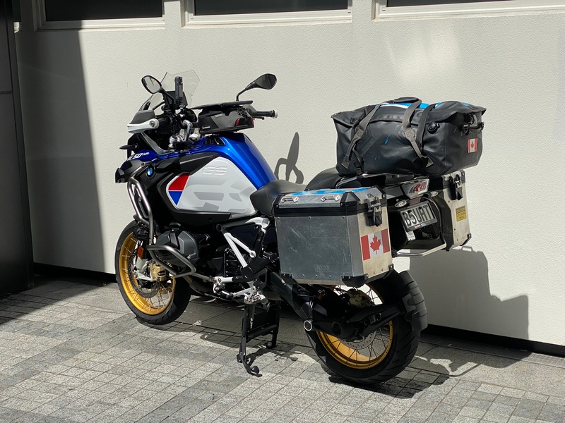
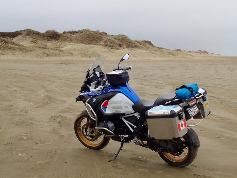
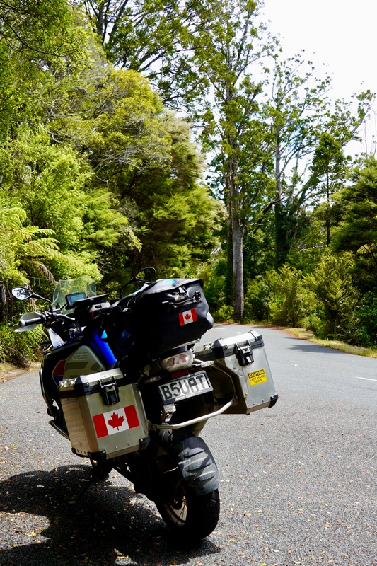
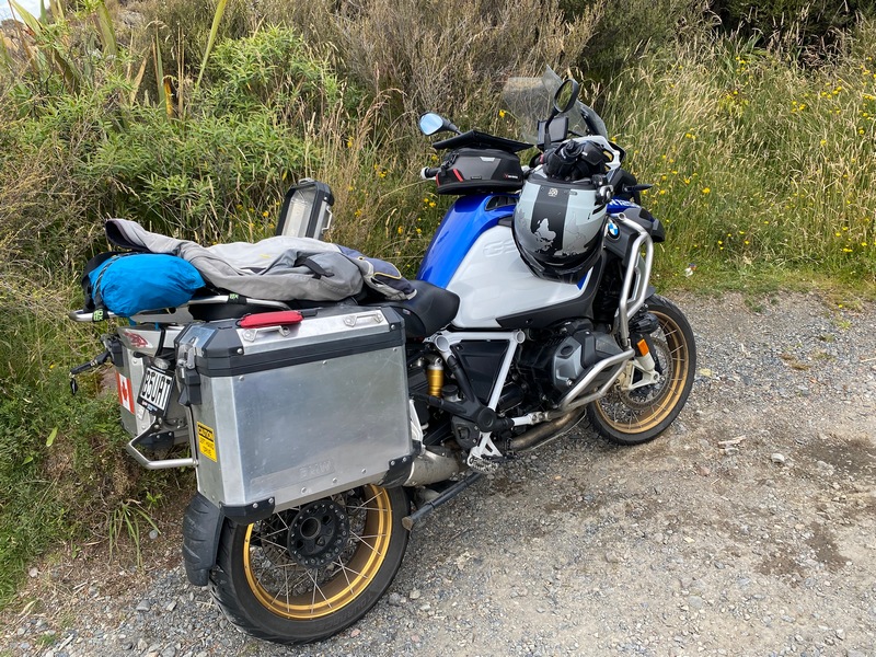
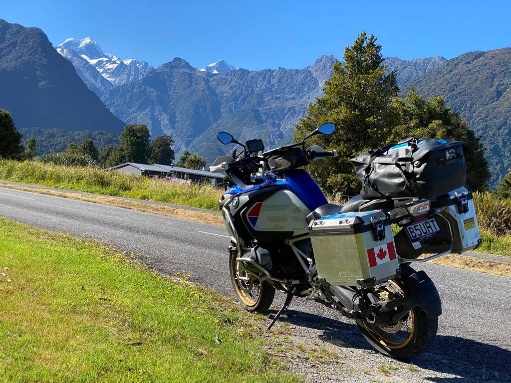
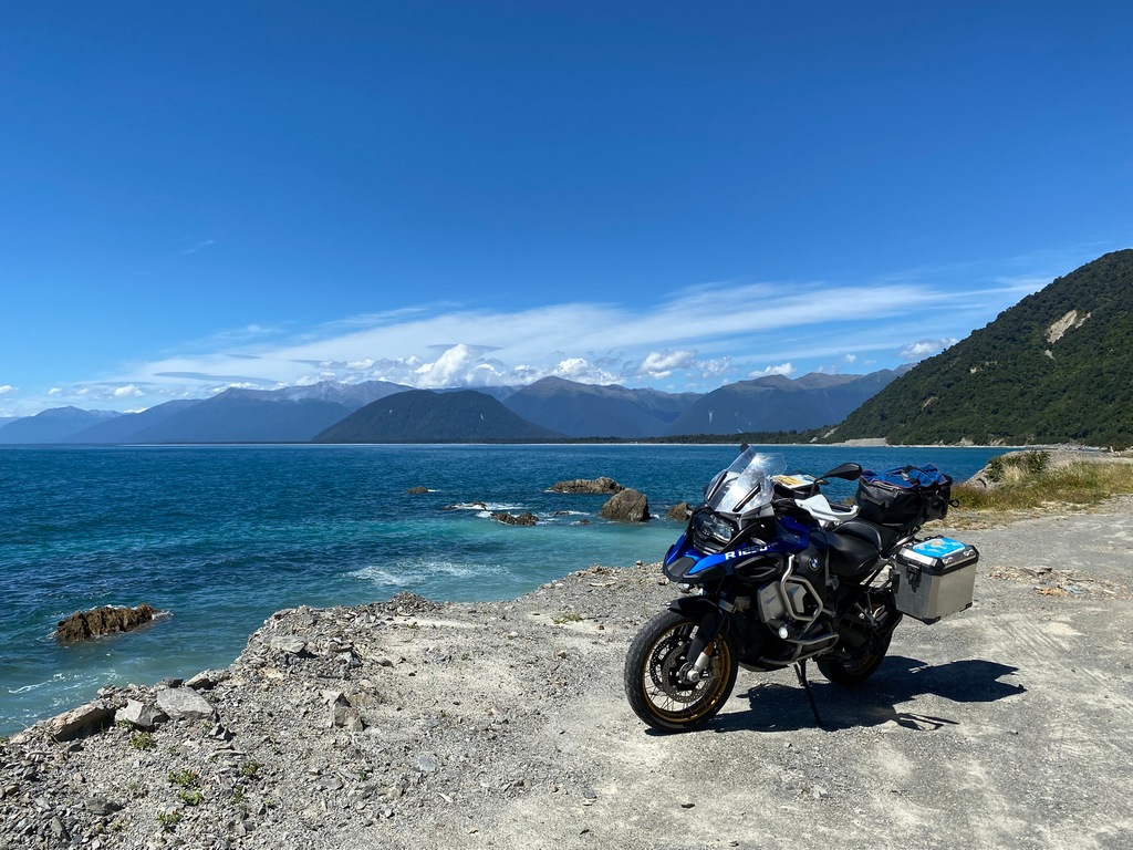
My new bike: a 2019 BMW R1250GSA
Chapter 1: Arrival and Getting on the Road
Chapter 1: Arrival and Getting on the Road
January 10 to 12 - Calgary to Auckland
Heading to Auckland over Vancouver and Fiji. Leaving on Friday and arriving on Sunday, what happened to Saturday?!? Said goodbye to my Sweetheart, I can’t express how much I miss her. Especially for this trip because we had been planning for this since 2017 when we returned from South America. It was to be our retirement trip in 2021.Goodbye Sweetheart
Rain in Calgary in January? That's unusual.
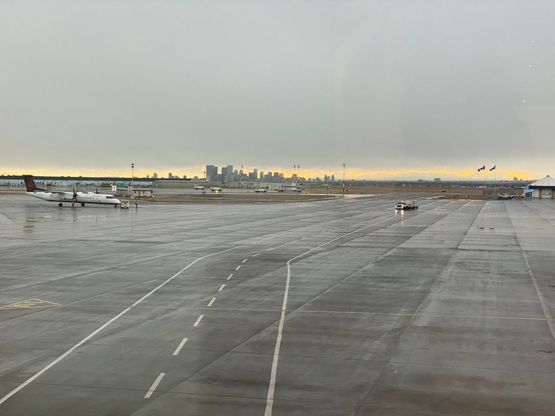
Bye to the Rocky Mountains
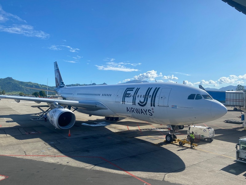
Transferring in Fiji to the flight for Auckland
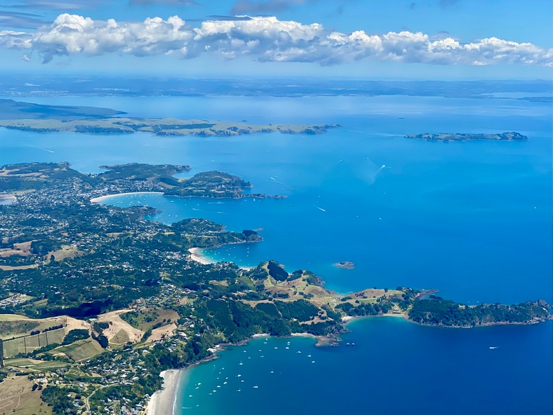
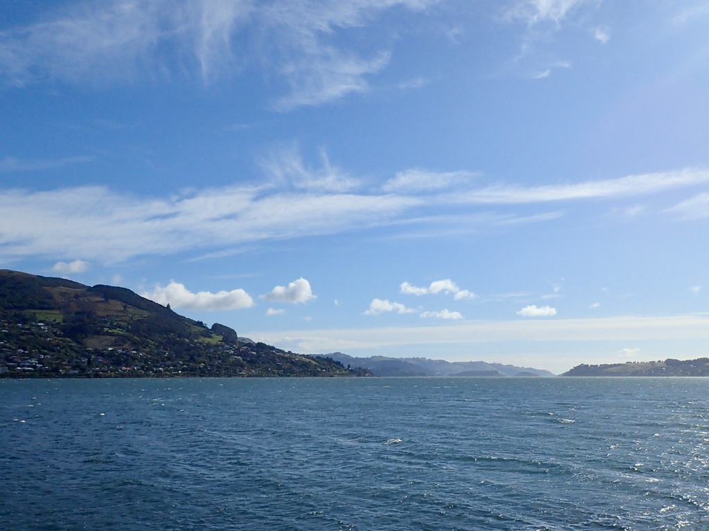
Landing in Auckland, first views of New Zealand
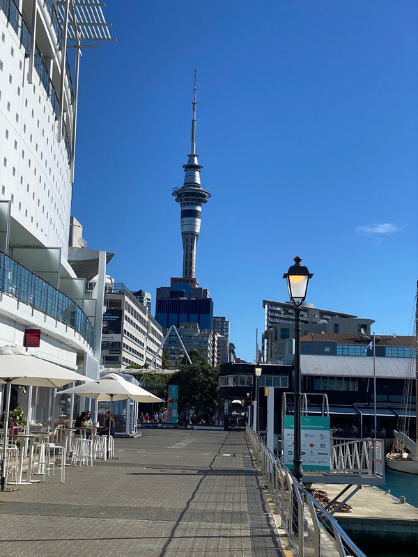
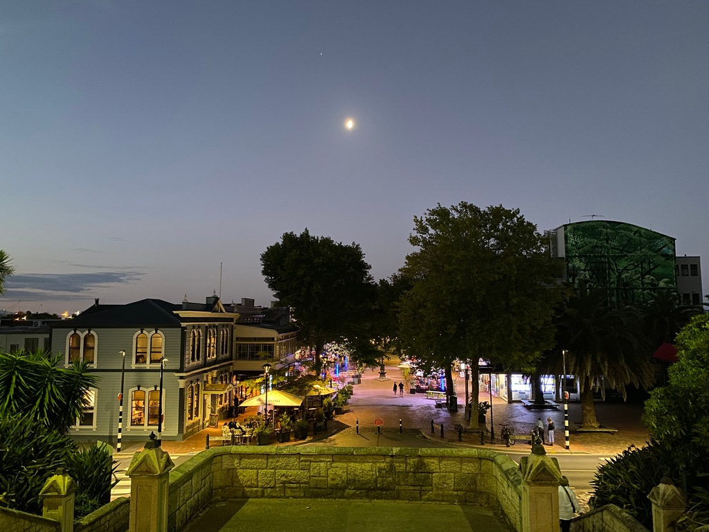
Arrived at noon on Sunday, January 12 so plenty of time to go for a stroll. The Ferry Building by the docks.
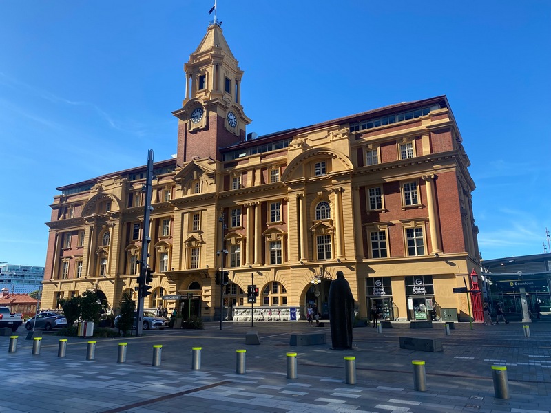
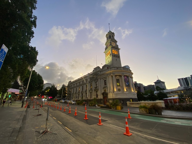
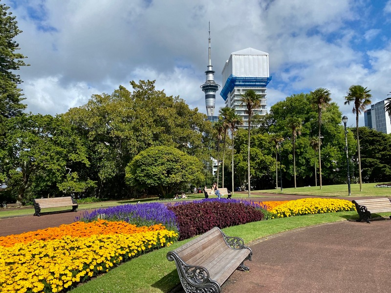
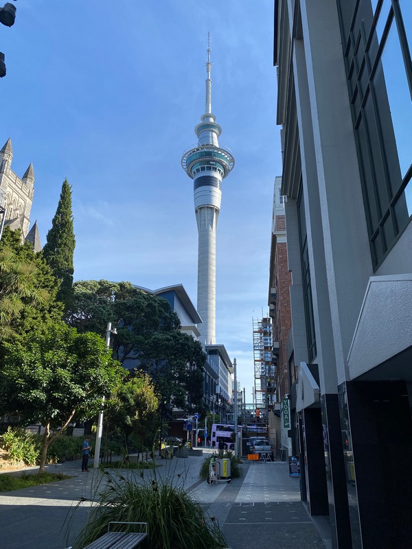
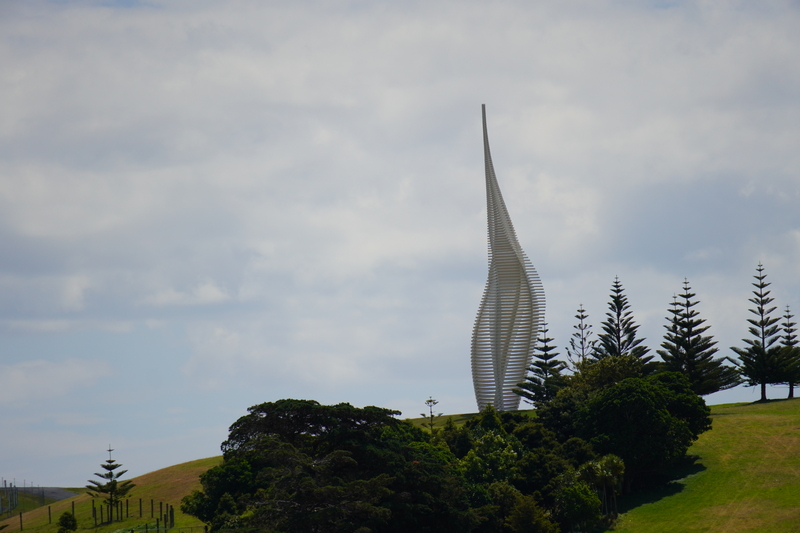
The iconic Sky Tower
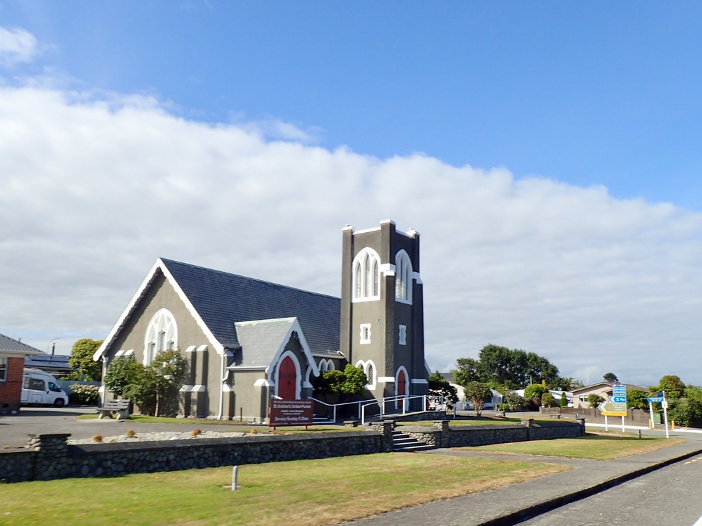
January 13 - Auckland
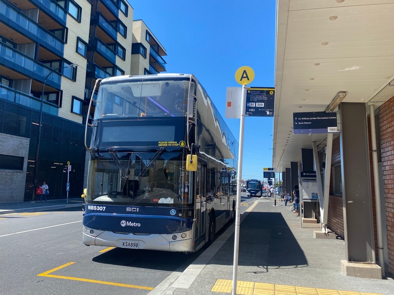
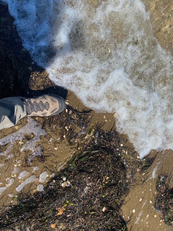
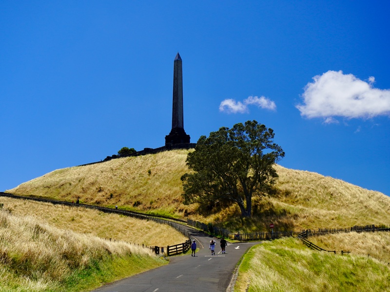
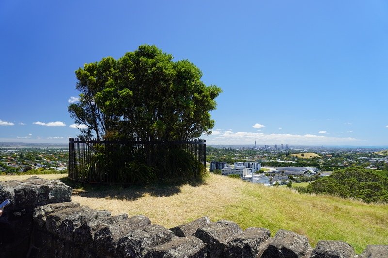
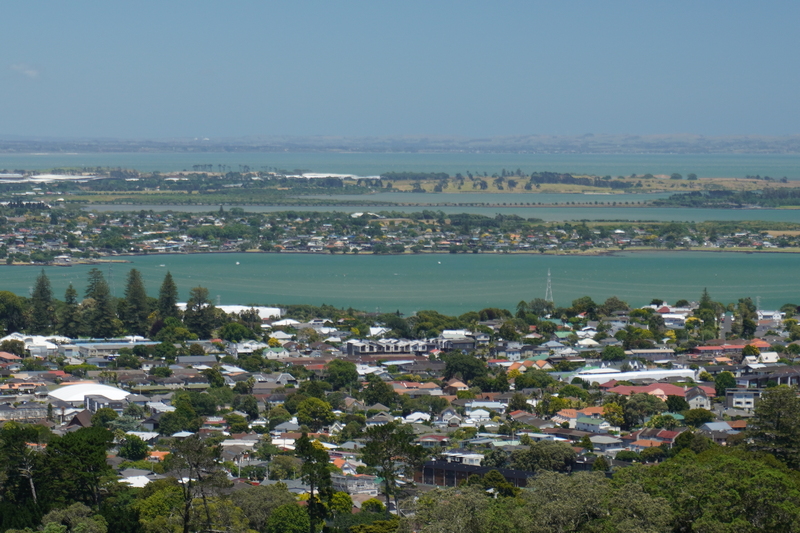
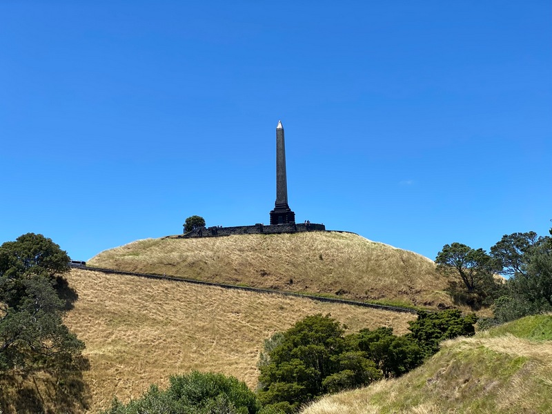
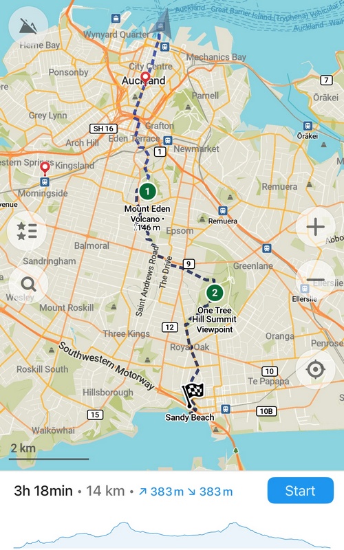
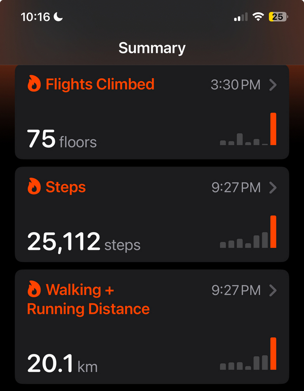
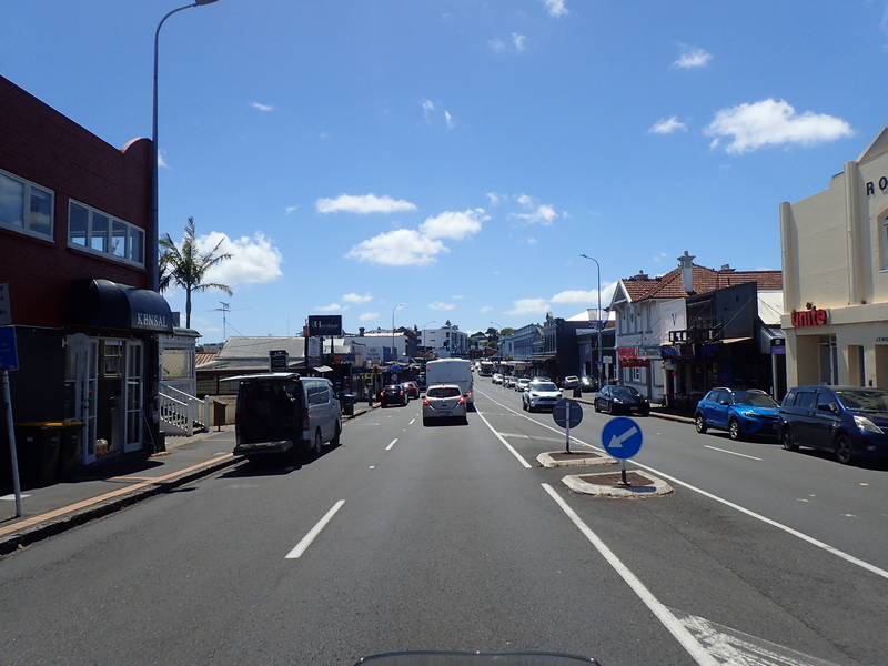
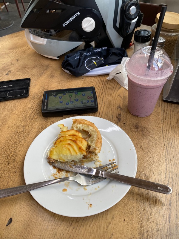
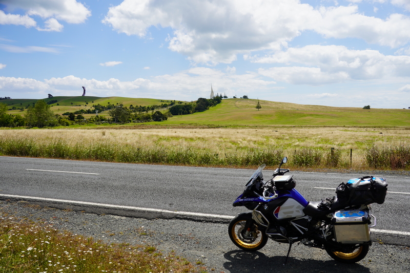
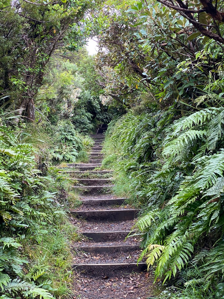
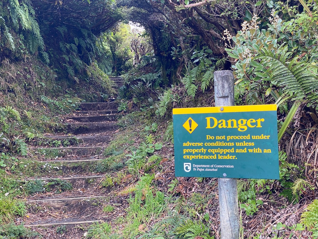
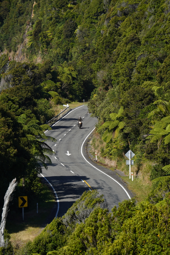
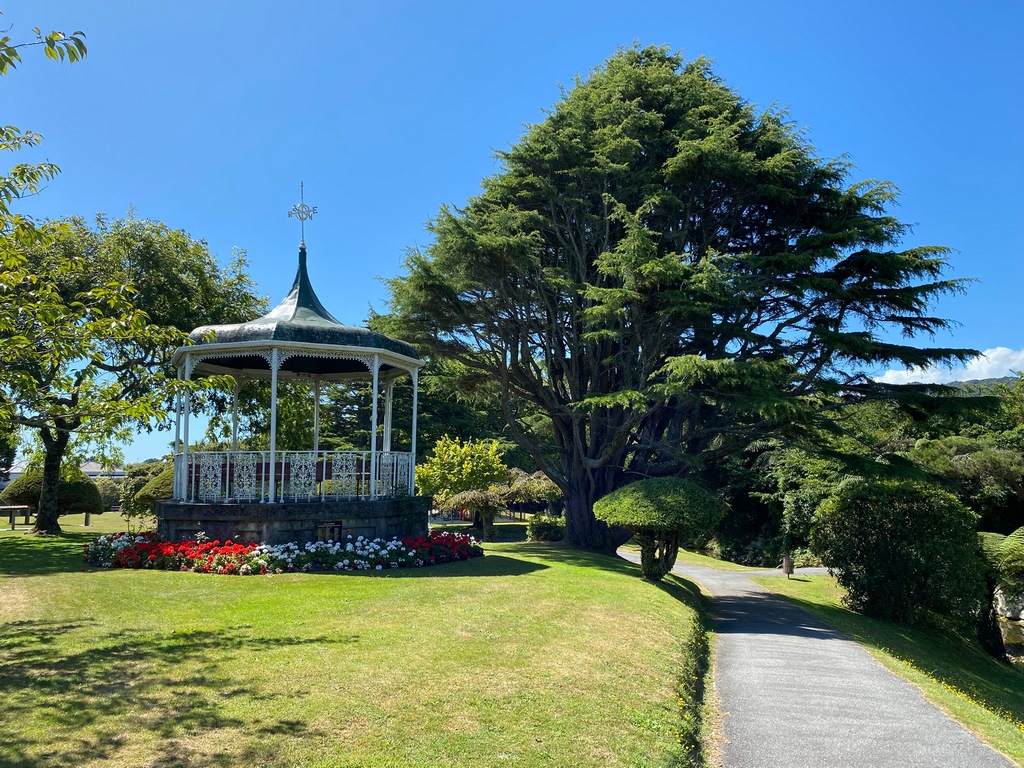
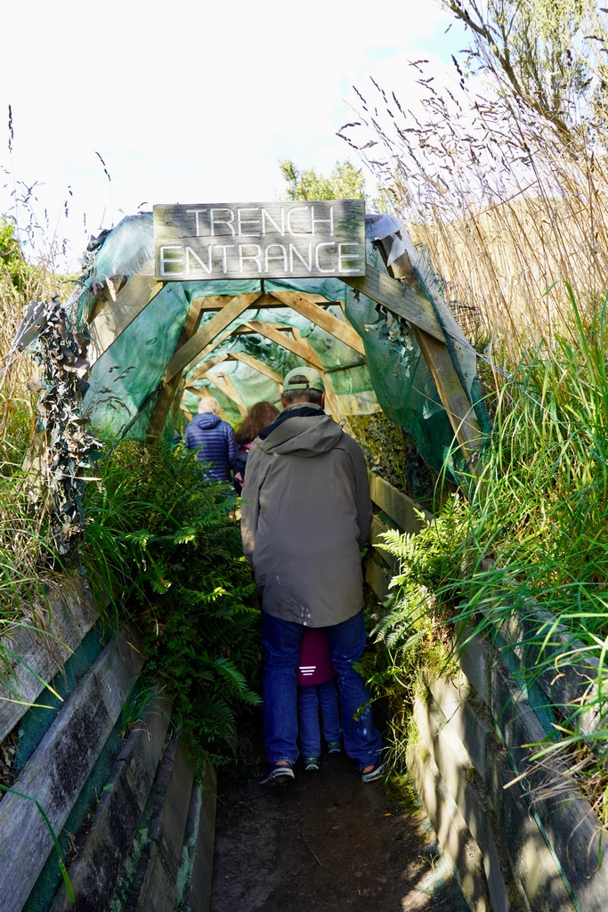
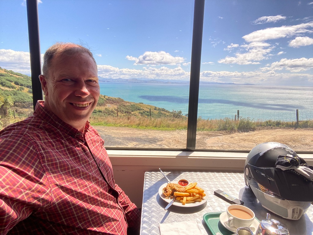
Day 1 in New Zealand: hiking Coast to Coast! OK, it was in hindsight, perhaps a little overly ambitious at 16 kilometres and climbing two volcanoes. But it was a great introduction to the next 2.5 months of travel. I took the bus from downtown Auckland to Onehura where I walked to Taumanu beach and dipped my toes in the Tasman Sea on the western coast of New Zealand. Then started walking east, through lovely Victorian and Edwardian era neighbourhoods up to the One Tree Hill. There was no One Tree at the top as it had been chopped down in 2000 by Maori protesting colonialism. In 2016 a small grove of trees was planted with the hope one of them will eventually grow up to be the new One Tree. Then it was on to climb Mount Eden, another extinct volcano, with its spectacular view of downtown Auckland. A stop for a late lunch at the Rueben café of mushroom and cheese pie and then back to hotel where I took advantage of the washing machine in my suite before finishing my walk to the east coast. No place to dip my toes in in the waters of the Pacific at the docks though. 25,000 steps and 20 km with 383 metres of elevation gain and loss. Oi, I am a bit sore.Take a bus across town to the start of the walk
Dipping my toes in the Tasman Sea
And I'm off to the other coast!
The Blockhouse in Jellico Park
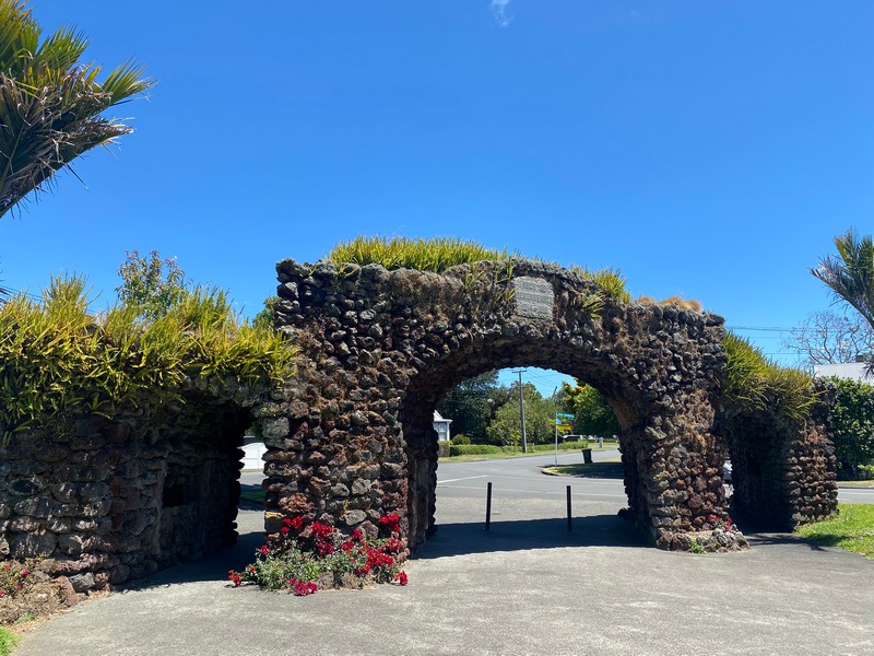
A memorial gate to fallen soldiers
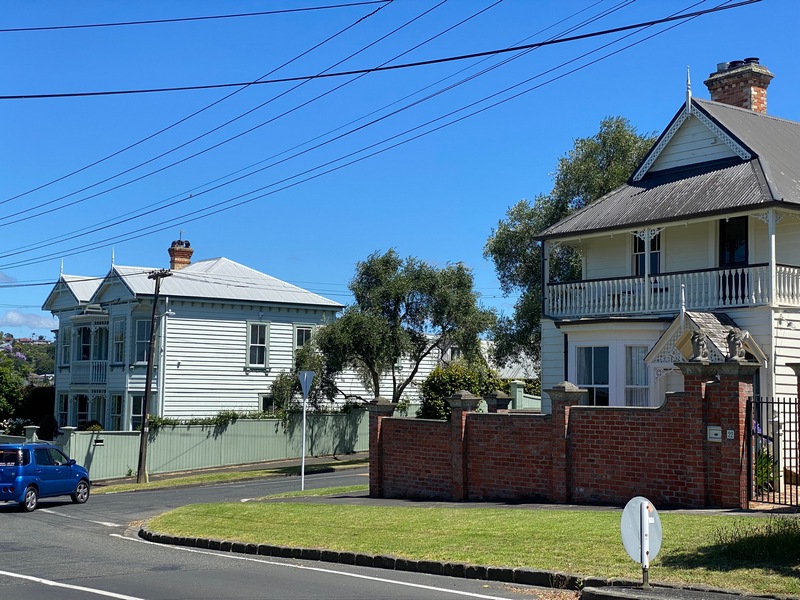
Walking through lovely neighbourhoods
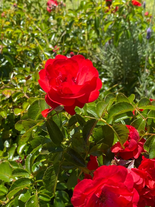
It really is summertime here with roses in full bloom
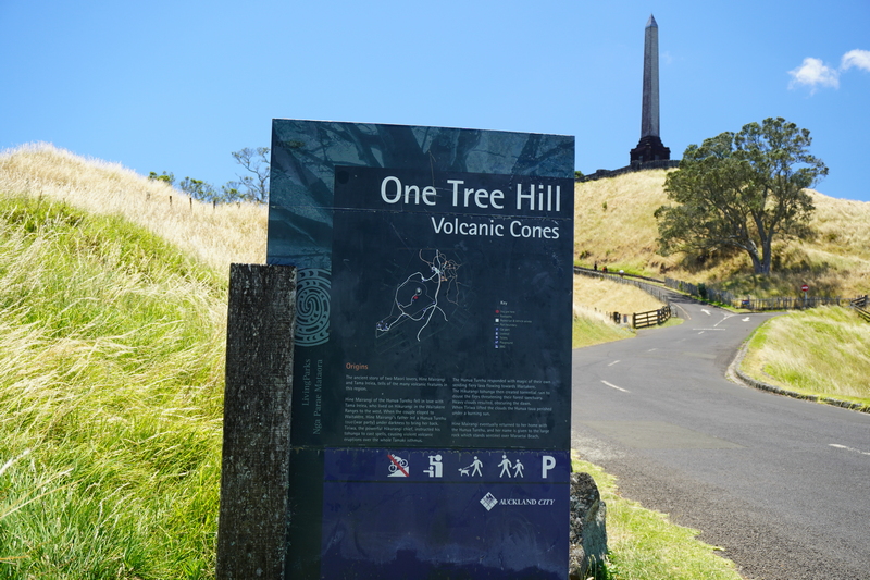
Monument on top of One Tree Hill
This clump of trees will eventually become the new One Tree
Looking back at the start of the walk to the Tasman Sea
Looking back at One Tree Hill as I continue walking north
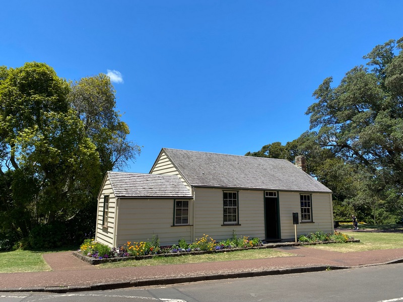
Acacia Cottage is the oldest building in Auckland and the oldest wooden building in New Zealand
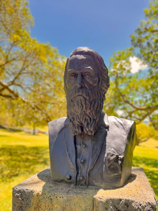
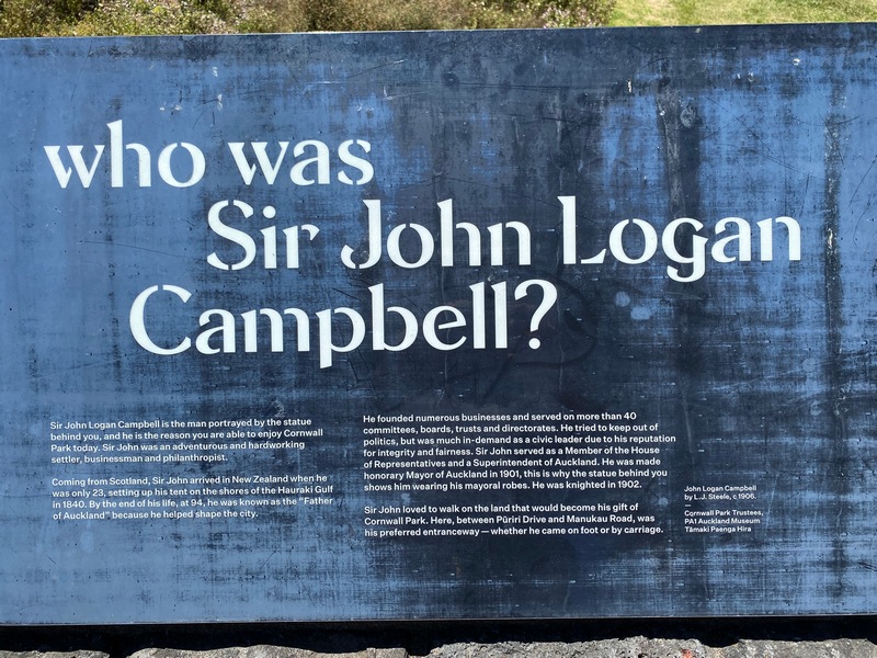
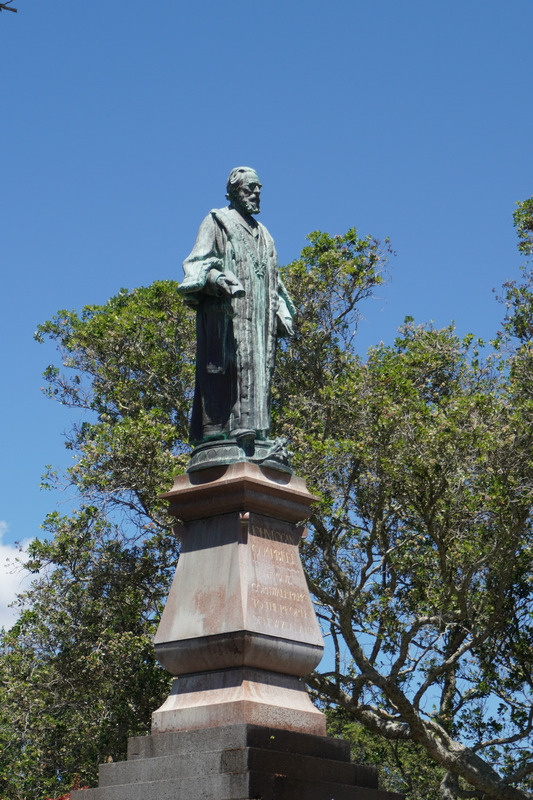
Sir John Campell
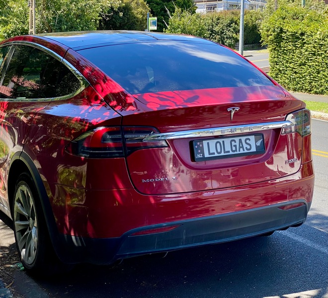
There is a Tesla in Alberta with the same licence plate
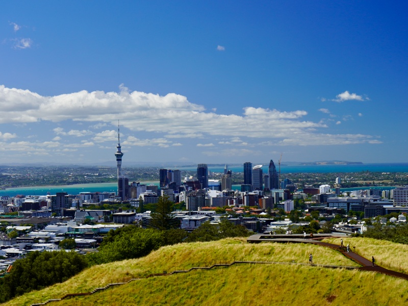
Climbed Mt. Eden for a spectacular view of Auckland and the final destination
Cool!
An empty building on the docks has been turned into an art installation
Inside the building
Made it!
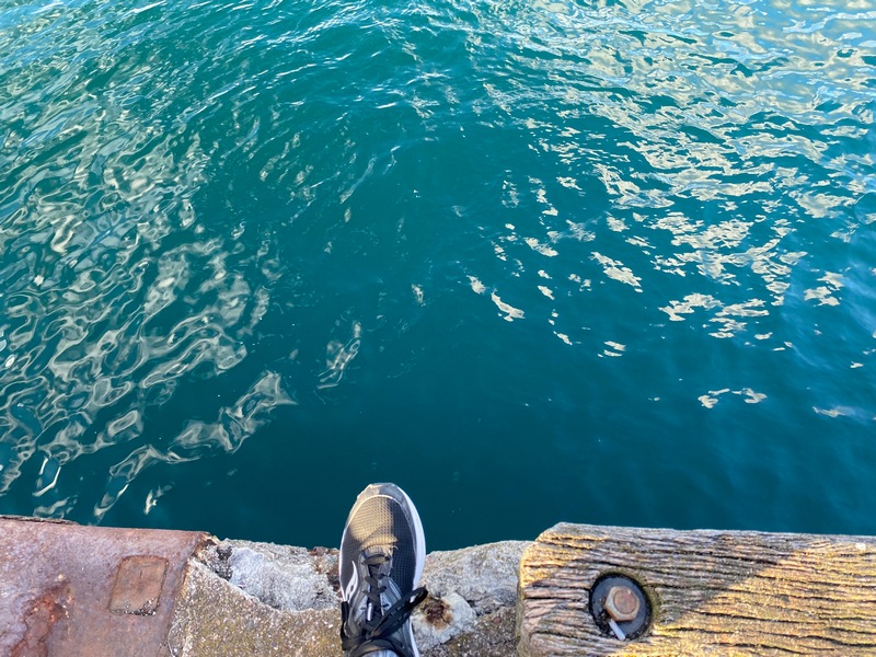
Not able to dip my toes unless I jump into the harbour
A lovely evening for a stroll back to the hotel
The route (in reverse) shows 14 kilometres but I took a couple of wrong turns...
Oof, no wonder I am a bit sore
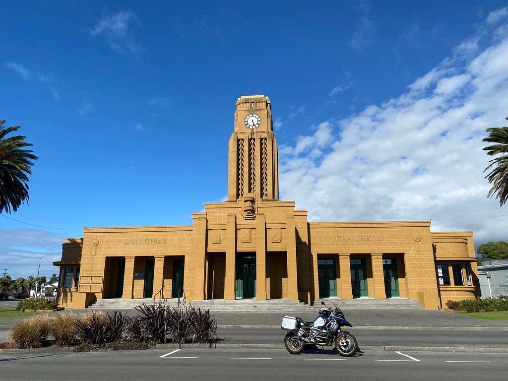
January 14 - Auckland
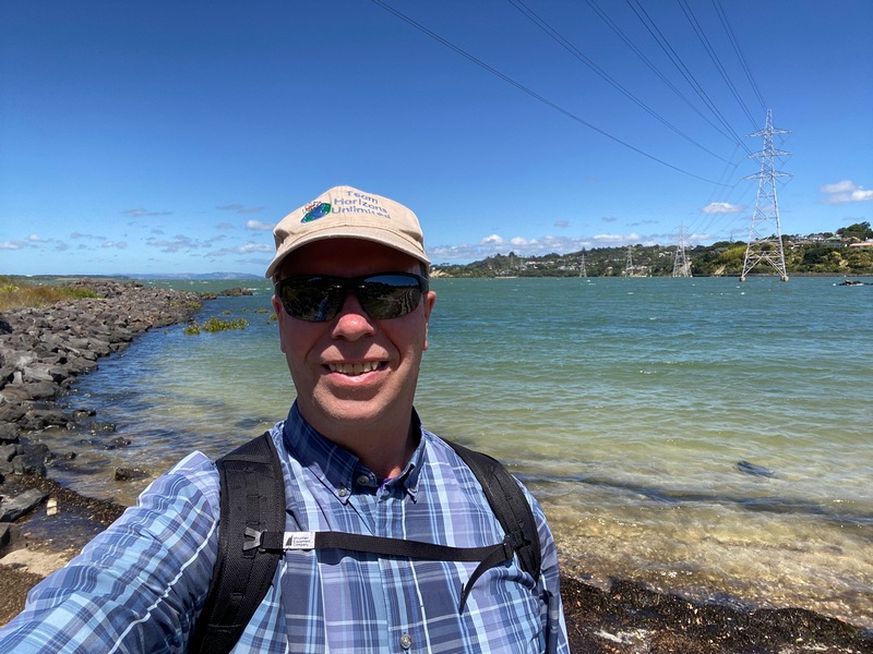
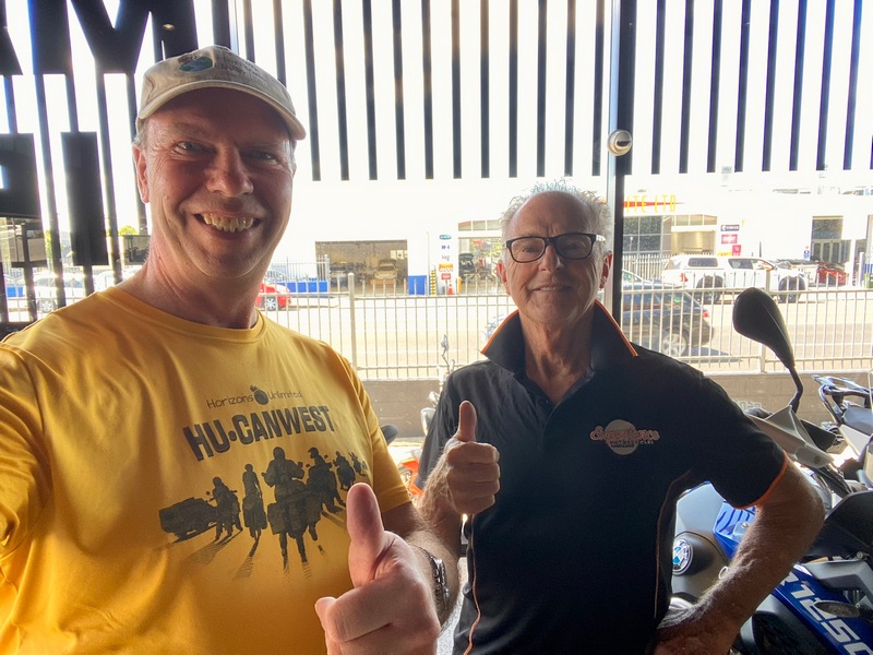
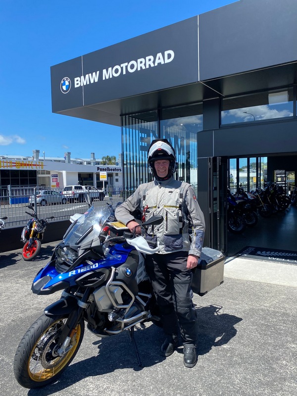
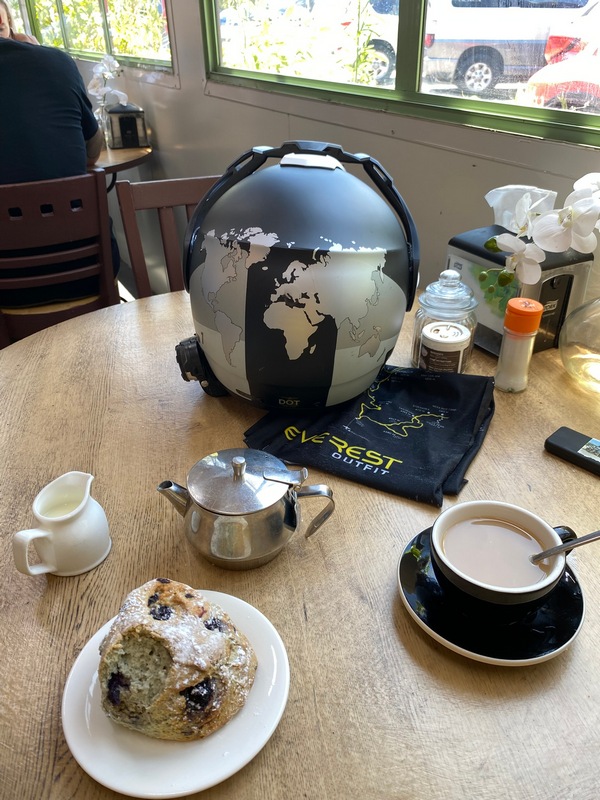
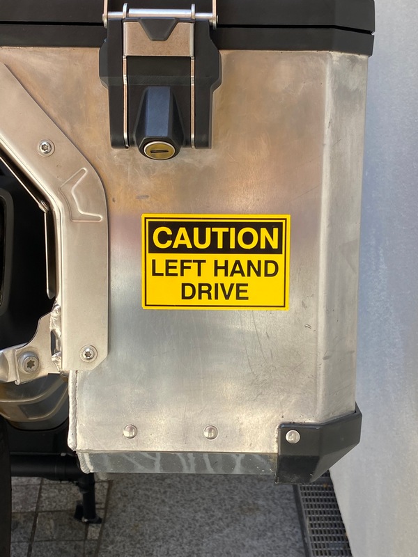
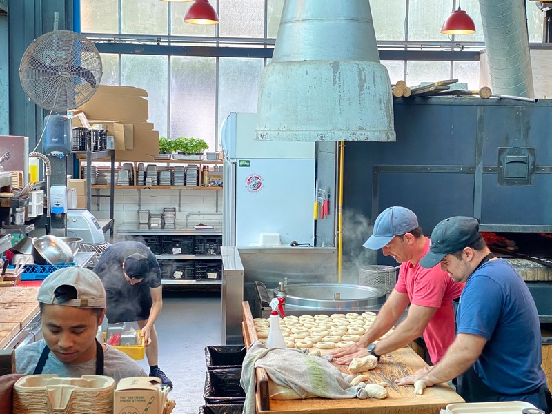
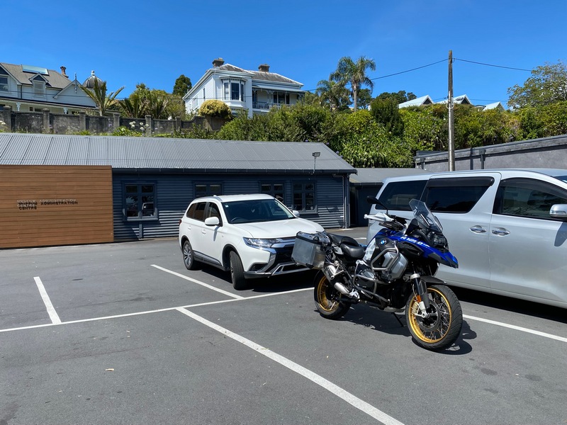
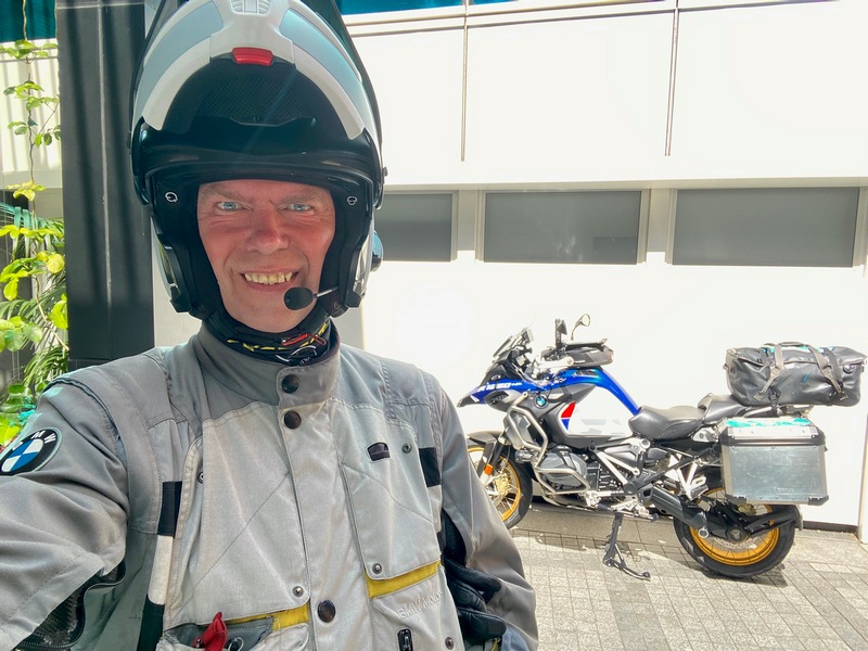
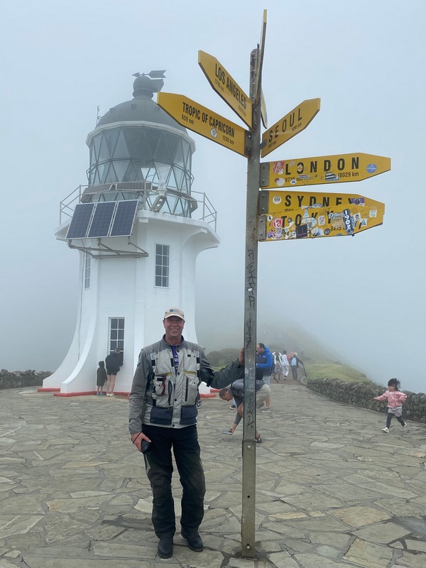
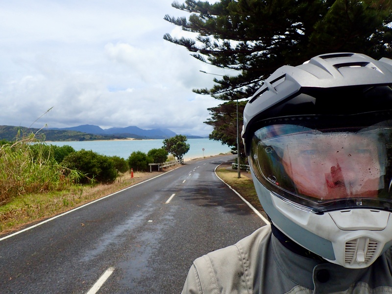
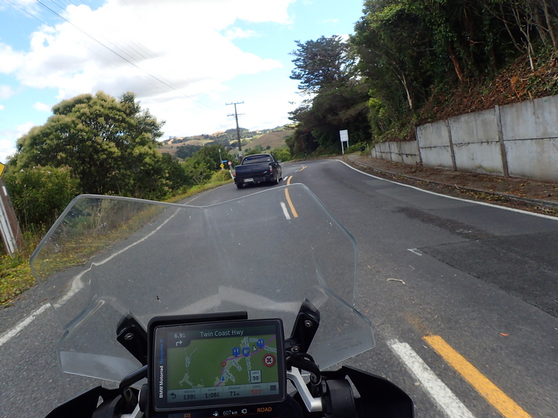
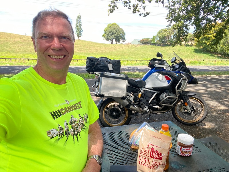
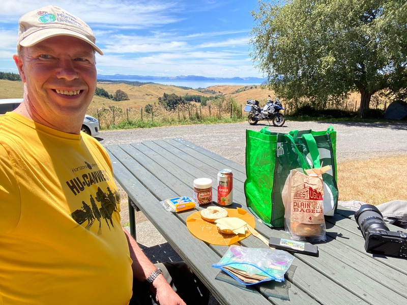
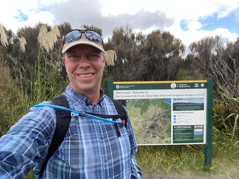
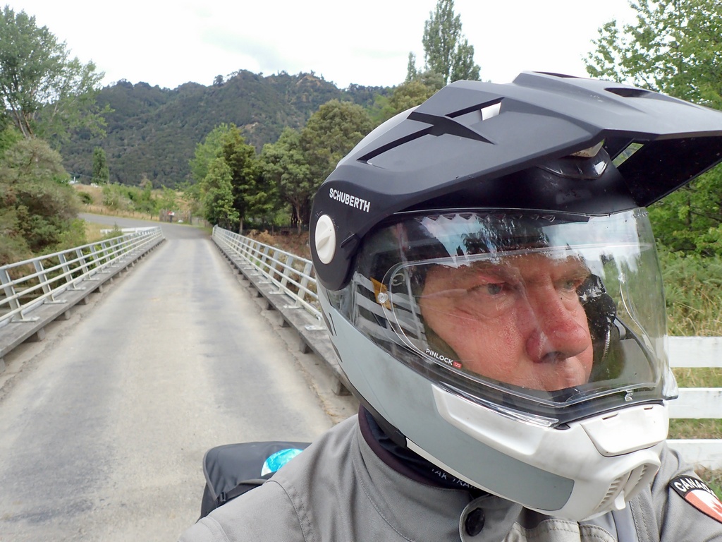
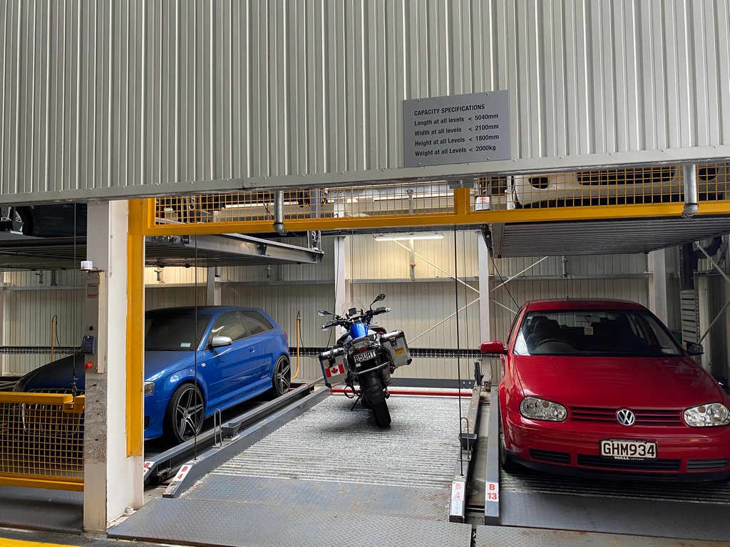
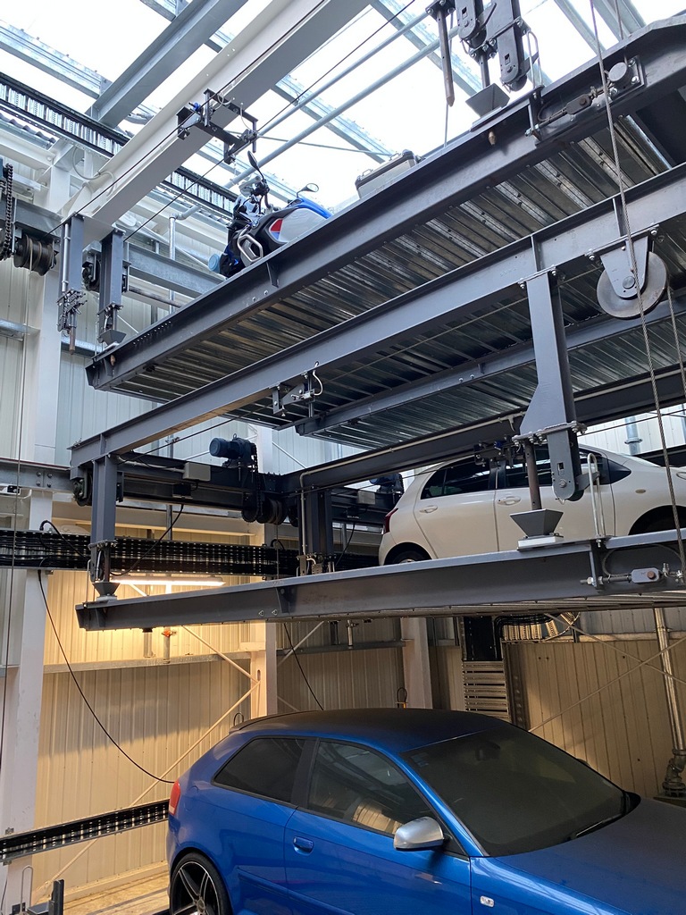
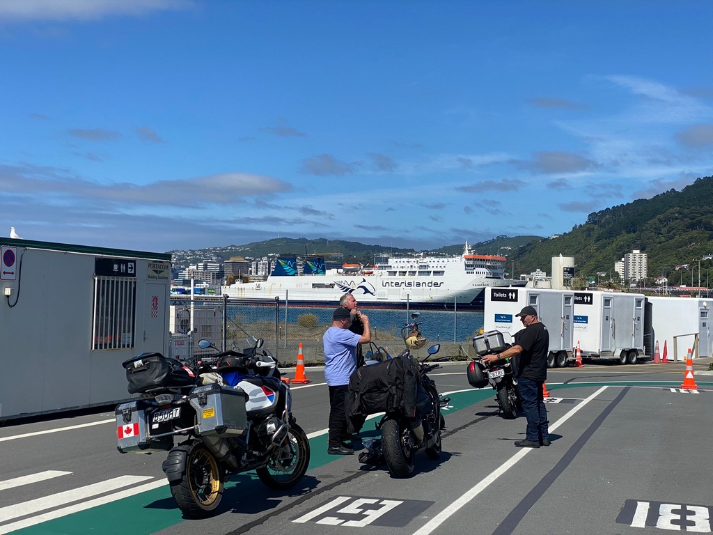
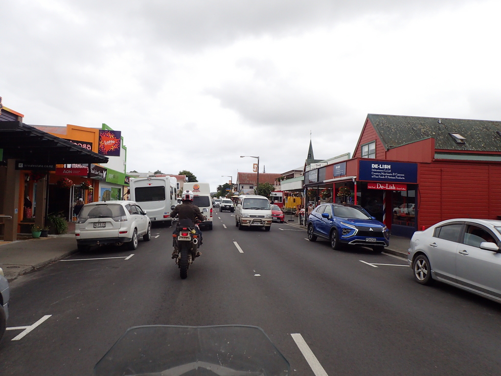
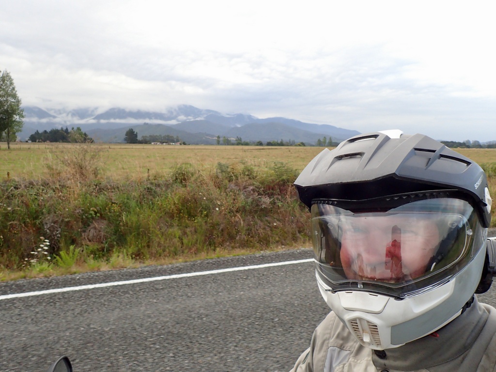
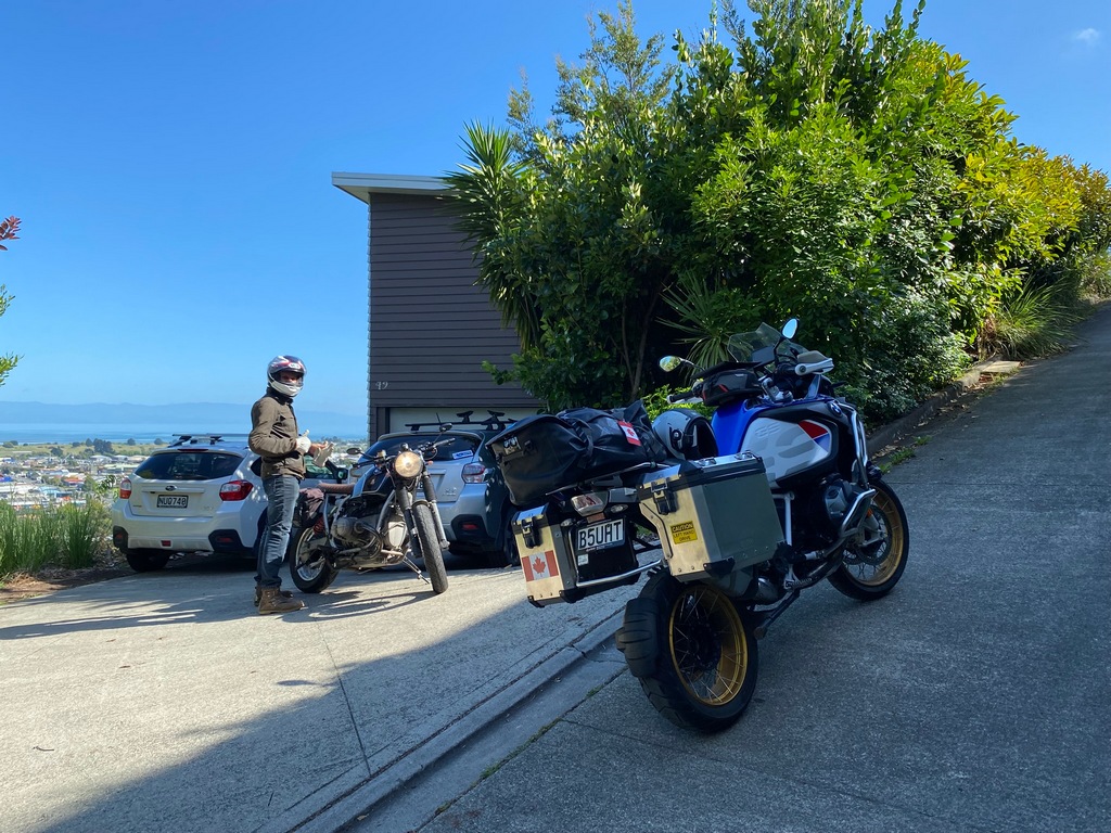
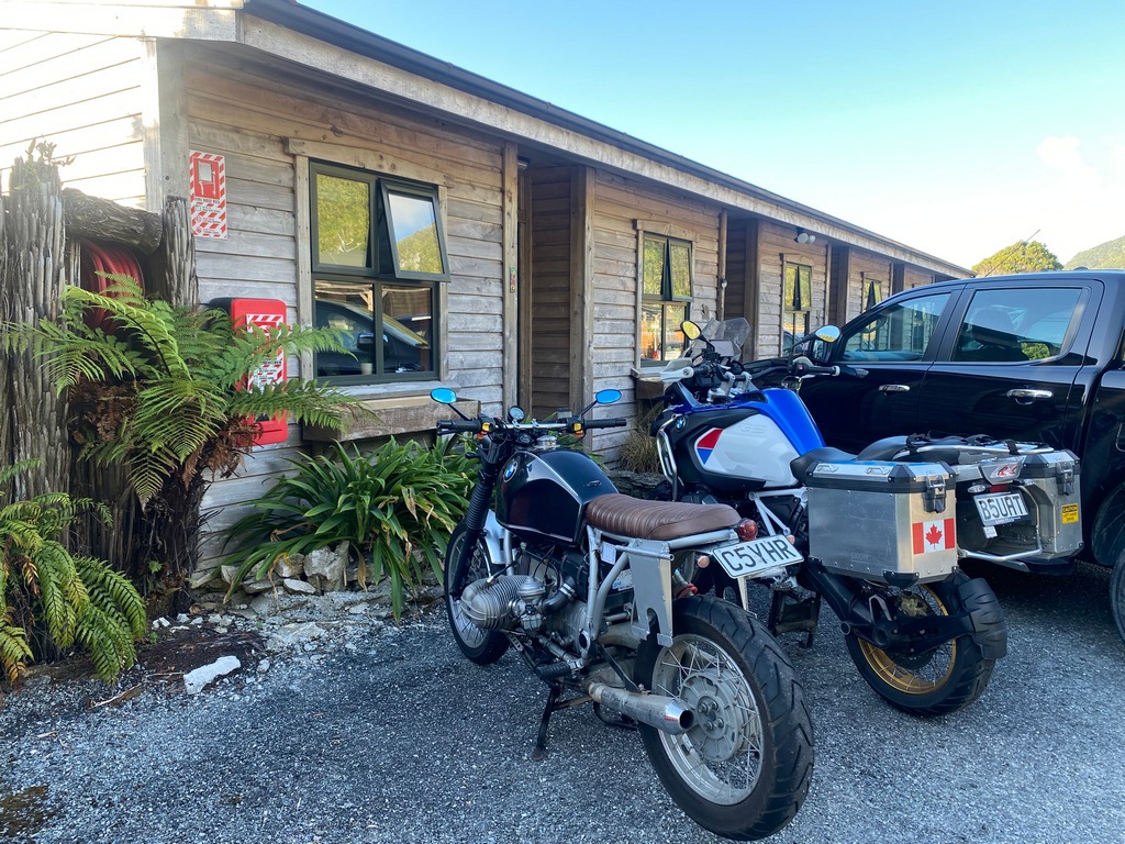
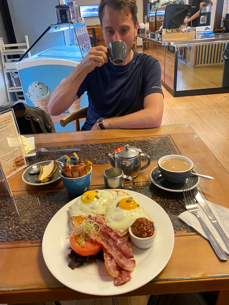
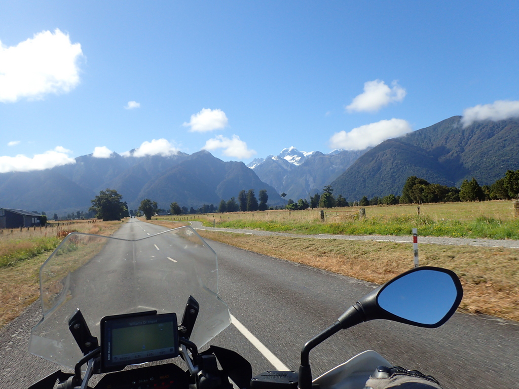
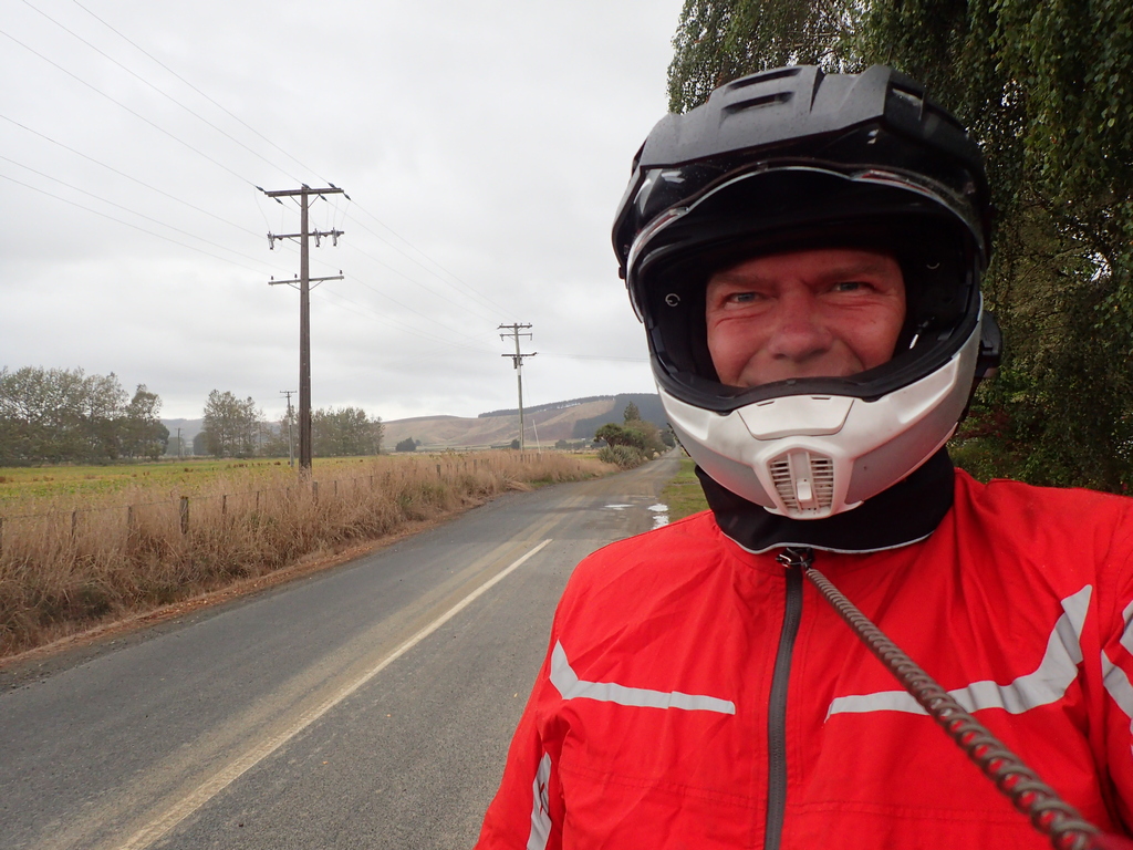
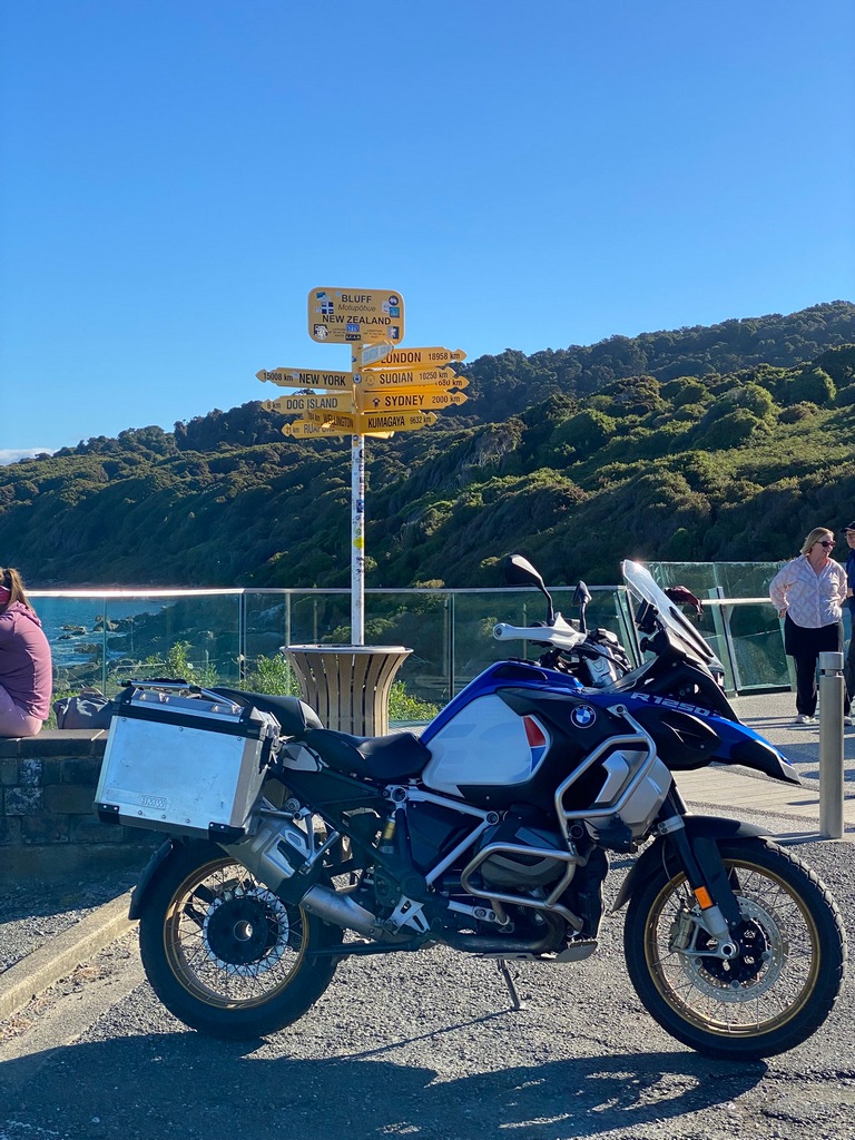
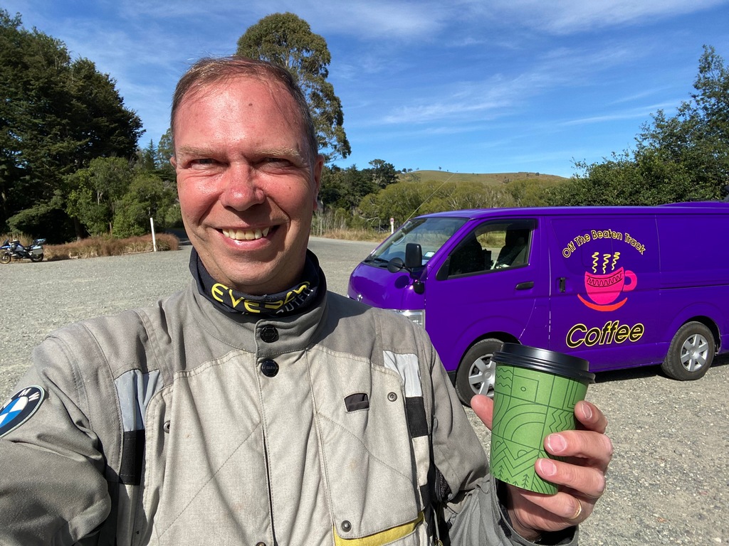
New bike day! After breakfast at the Best Ugly Bagel café I took a bus over to Experience Motorcycles and met John. My new bike was ready and all the paperwork just needed to be signed. Then Marty drove me over to the Automobile Association office to complete the registration. Really, it was that easy! Back at the shop I installed my tank bag (so that my keep left sticker was visible) and started riding. I didn’t make it very far when a bakery forced me to stop. After a blueberry scone with an Earl Grey tea I finished the ride to the hotel. Here I installed some important stickers. Now I really am ready for the next 2.5 months.Meet John Mackinlay in person after corresponding by email for a couple of months
There it is, my new bike! A 2019 BMW R1250GSA.
Ready to ride!
Tank bag has the appropriate safety warning
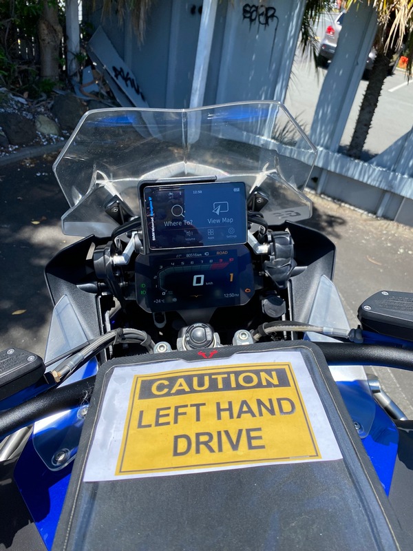
Keep left, look right. Keep left, look right.
I didn't make it very far. A bakery sucked me in.
A scone and a cuppa tea
Install a couple of stickers on the bike
A warning to those behind me
January 15 - Auckland
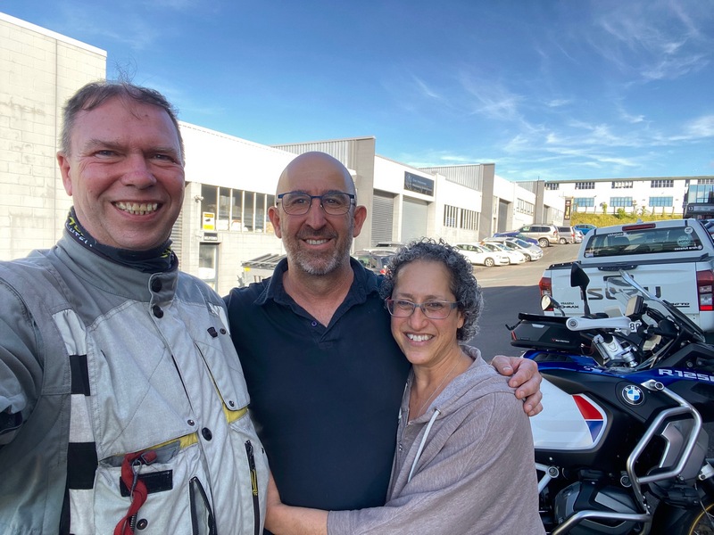
Well, that was an unexpectedly emotional day. But let's start at the beginning. When I went to Best Ugly Bagels for breakfast I was surprised that they already know my name. Anyway, after breakfast I was walking to the Auckland Museum through the university campus when I noticed an email on my phone from an unknown person about the motorcycle I am riding. Curious, I opened the message from Ronit. She and her husband Sagi owned my new bike previously and saw my website. Her email talked about her connection with Audrey based on the front page because she too was battling cancer. She described how going for a ride on the bike during pauses from the chemo made her appreciate life and the joy that comes from riding. I was overwhelmed with emotion and had to sit down. I emailed back and we arranged to meet that afternoon. I toured the museum and returned to the hotel to pick up the bike then rode across the Harbour Bridge and had lunch on the north shore at the Naval Museum café. Then at 4:00 I met Ronit and Sagi. We shared stories and tears. It is so wonderful to know the story of this bike. It is no longer an inanimate object, it has a soul. I feel so privileged to be able to ride it and add to its story.Making the best ugly bagels

Walking through Albert Park
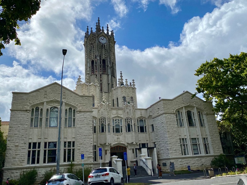
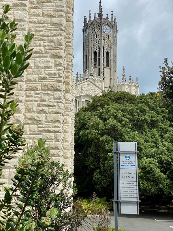
The clock tower building is on the university campus
I was here when I received the email from Ronit
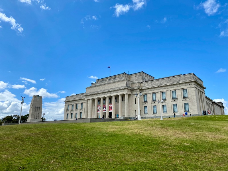
The Auckland Museum
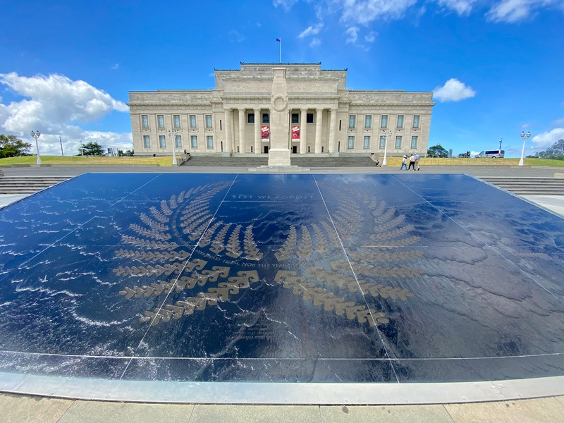
Lest We Forget - This is also Auckland's War Memorial
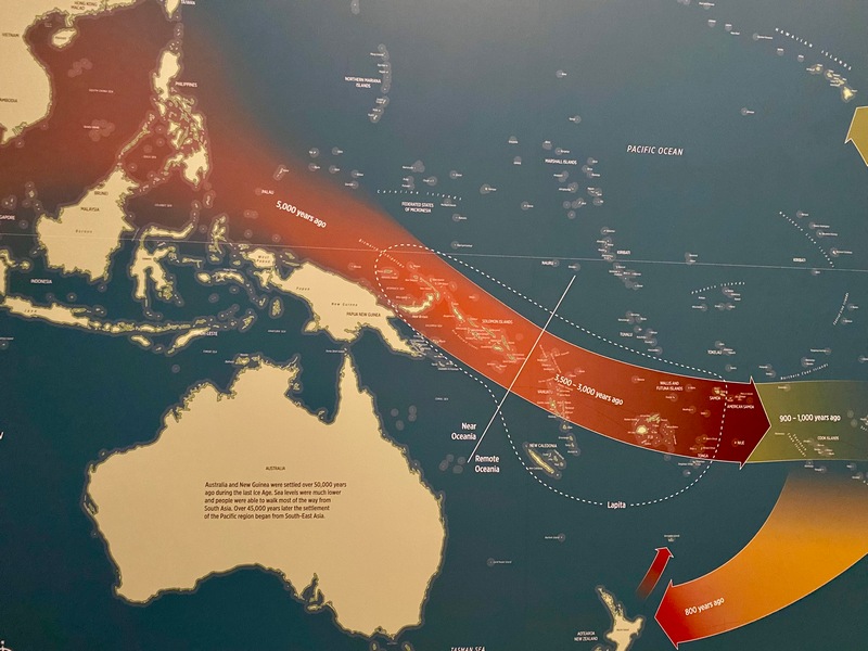
Polynesian immigration from 5,000 years ago until just 800 years ago when the Māori landed in Aotearoa
A small sailing catamaran
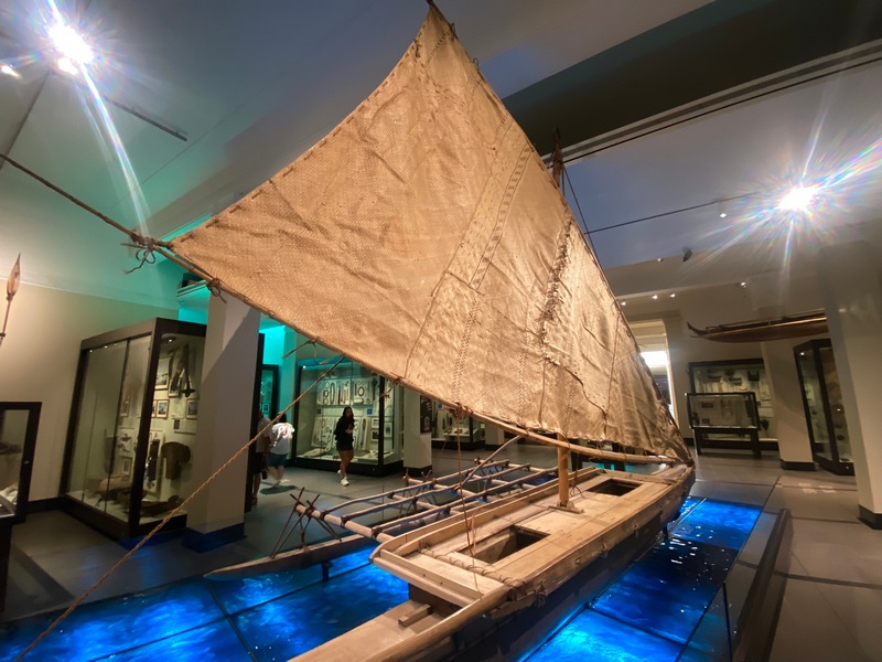
A huge war canoe (haka)
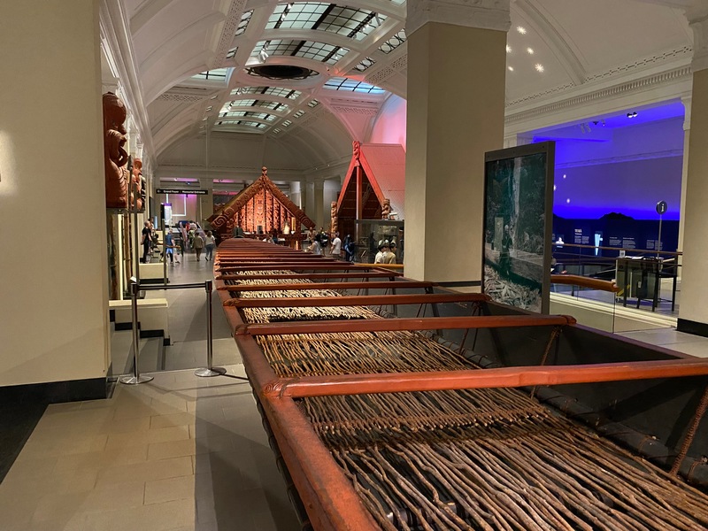
Portraits of Māori on display

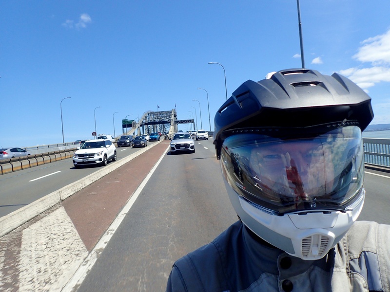
Riding across the Harbour Bridge
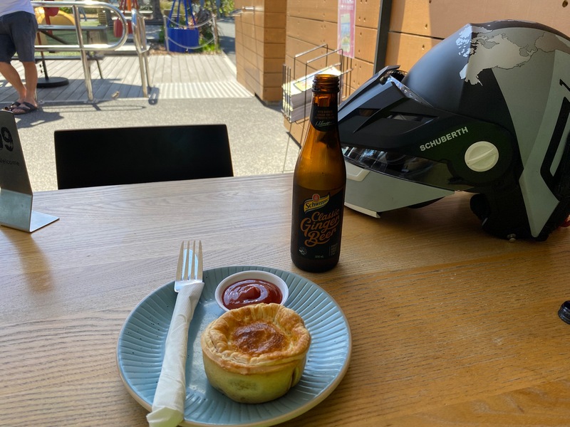
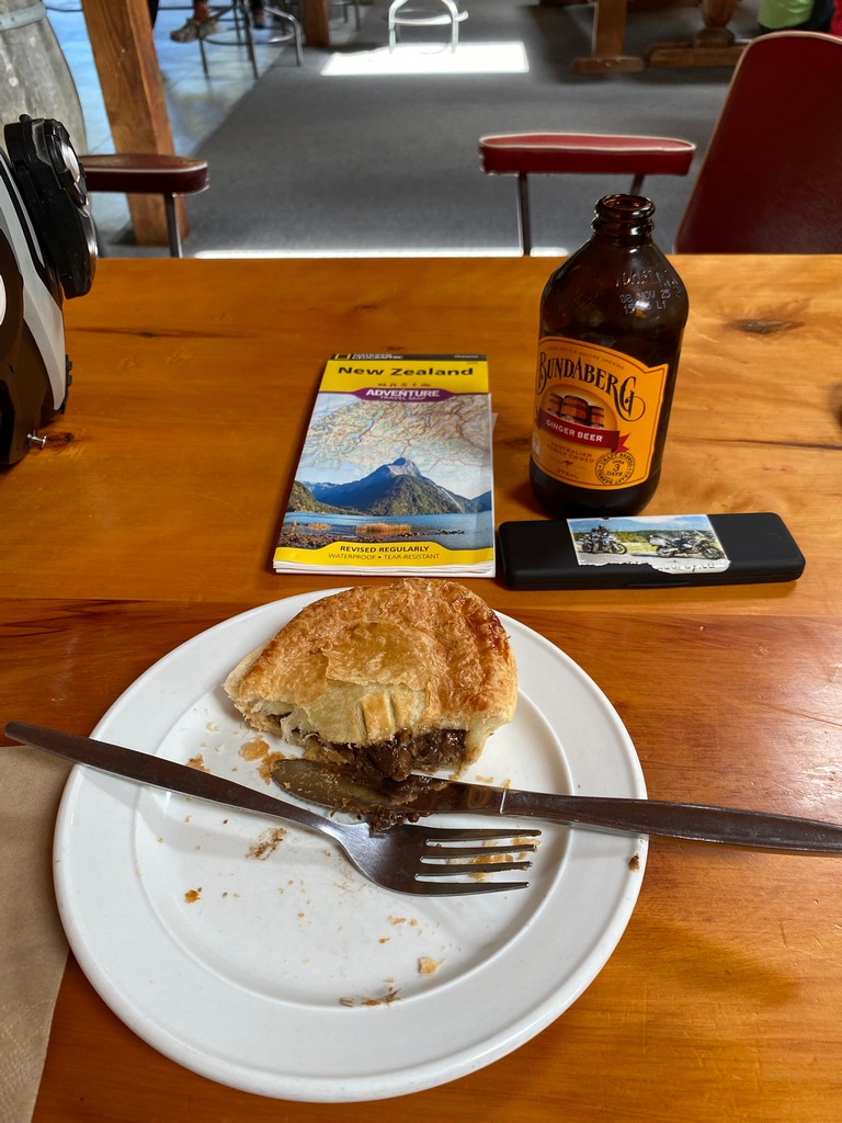
Lunch at the Naval Museum cafe of a mince pie and a ginger beer
That's a nice looking bike
Meeting Sagi and Ronit
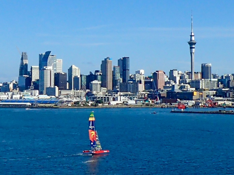
Riding back across the Harbour Bridge with lovely view of downtown Auckland and a racing catamaran
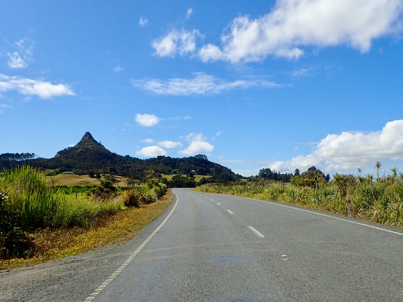
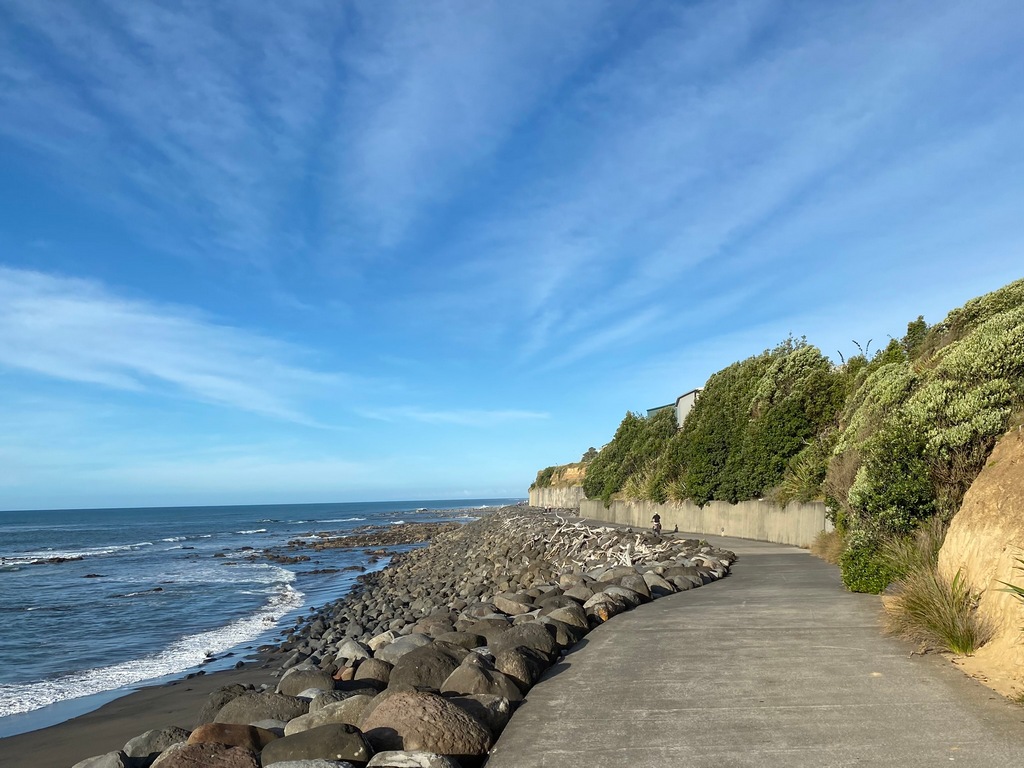
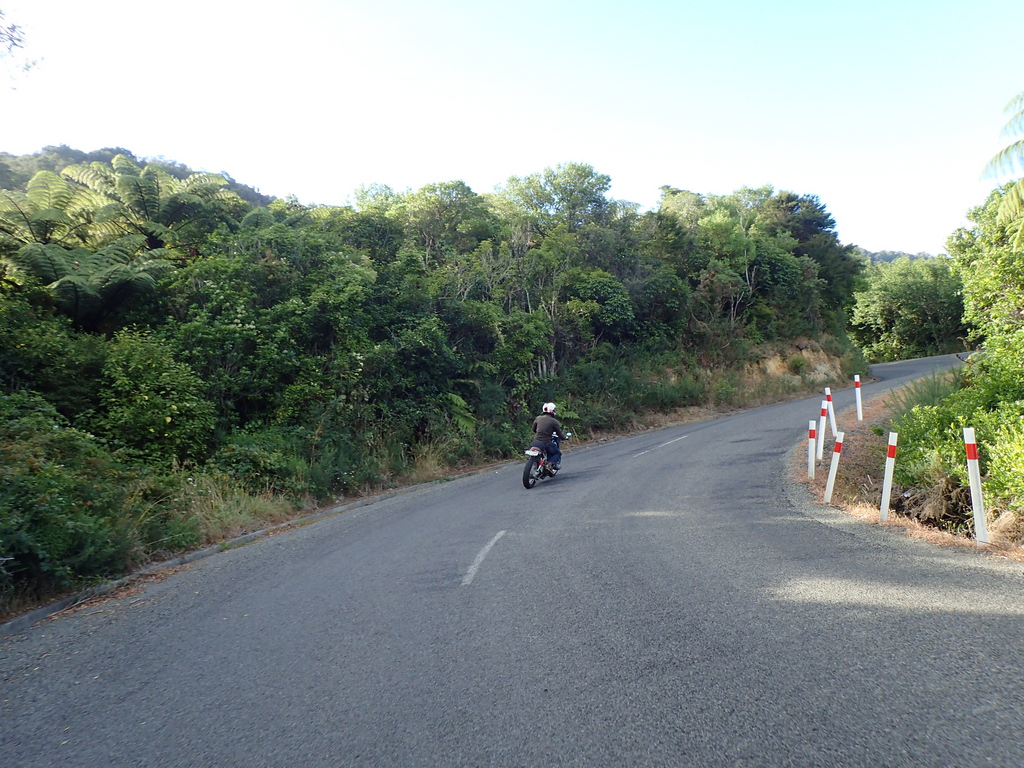
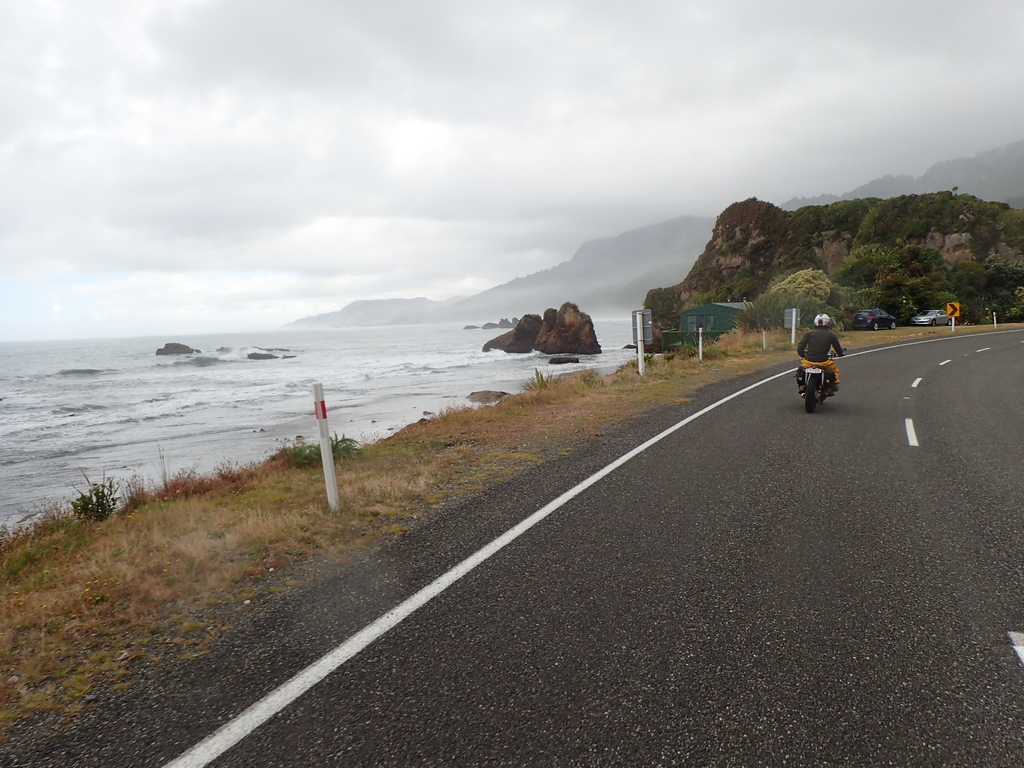
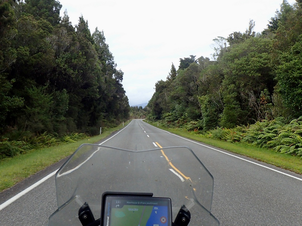
January 16 - Auckland to Thames
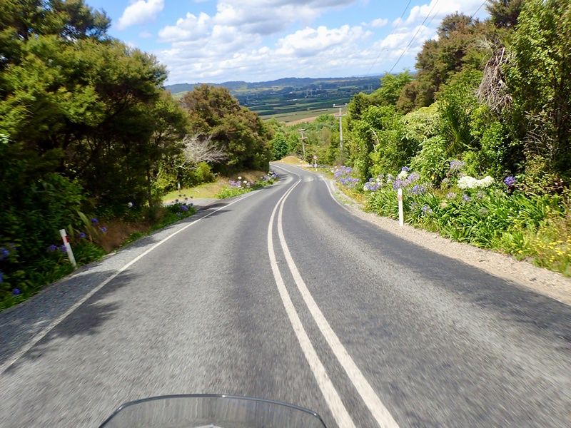
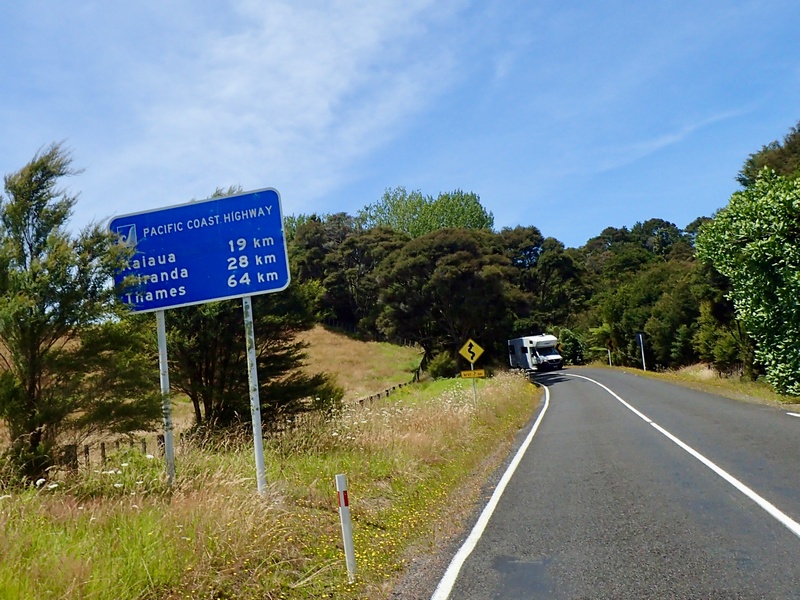
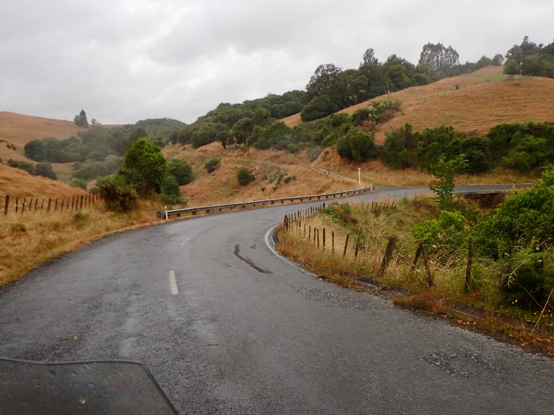
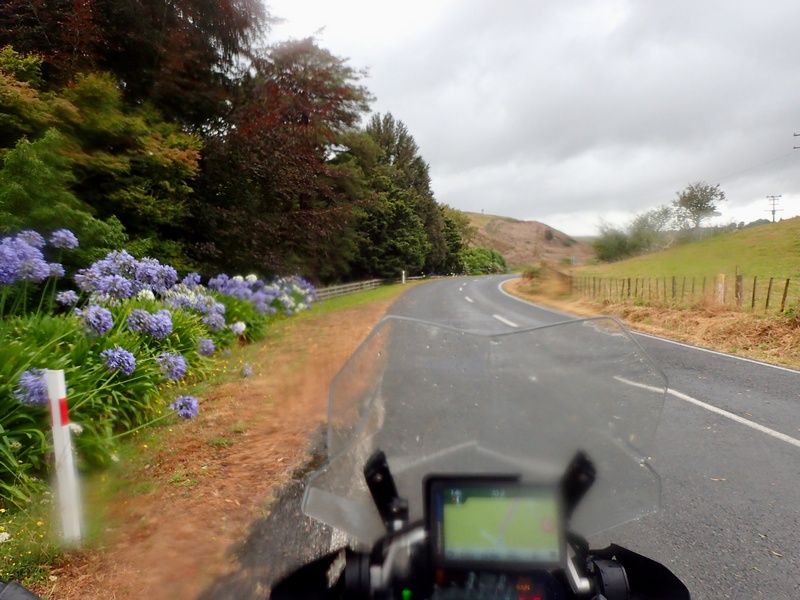
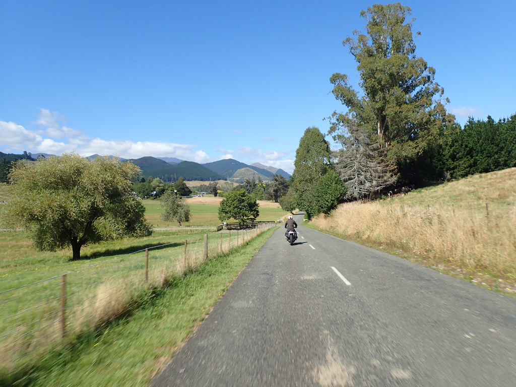
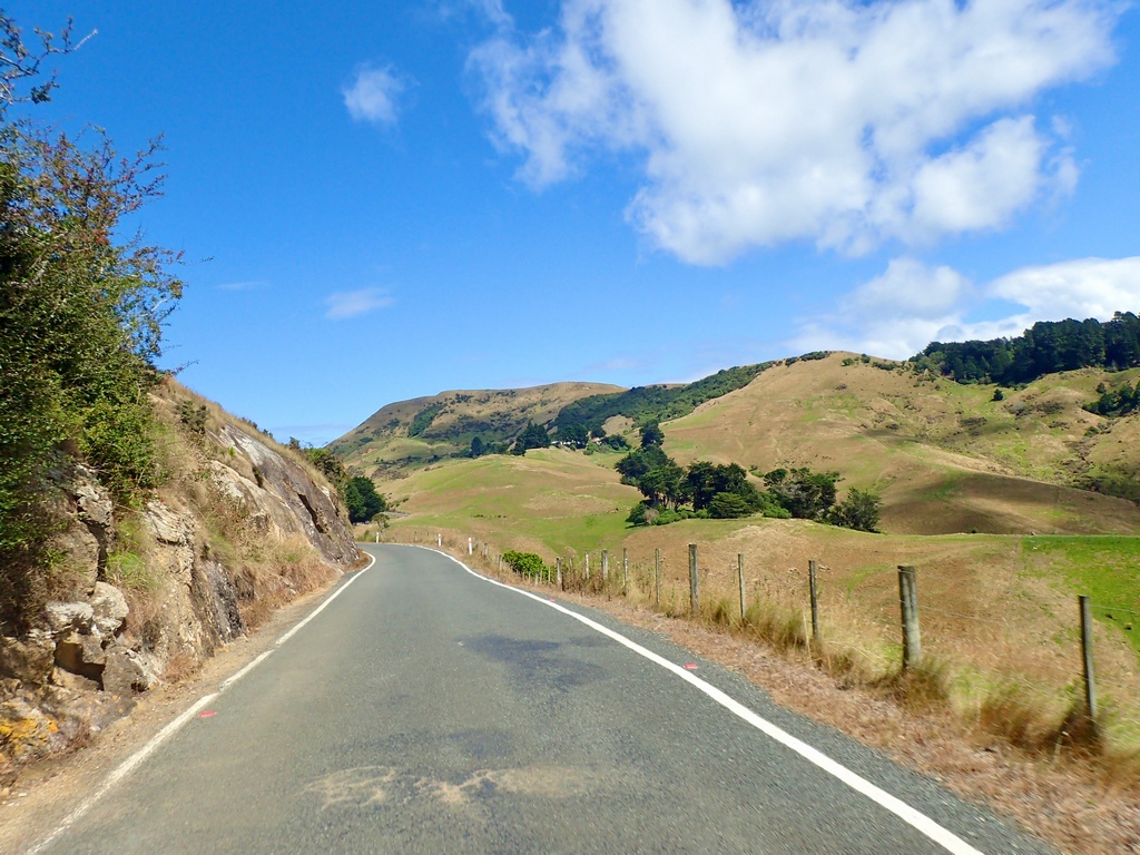
The tour of New Zealand has officially started! I left Auckland and specifically stayed off the motorway, rambling through the suburbs. They reminded me of communities like Bowness or Forest Lawn in Calgary; they seemed like they would have been separate towns at one time. Out in the country it was lovely riding on small roads with little traffic. Arrived in Thames (named by Captain Cook as he thought the river looked like the one in London (?)) too early for check in but in time for a late lunch at a bakery café.A morning stroll for bagels
A bag to go

The bike is loaded up
Let's get this started!
Once out of the big city it is lovely riding
Get off the motorway as soon as possible to take the Pacific Coast Highway
Downtown Thames, a former gold mining town
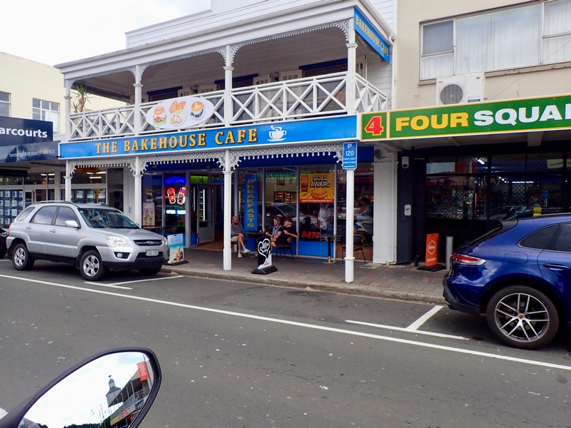
Too early for check in so stop at the Bakehouse Cafe
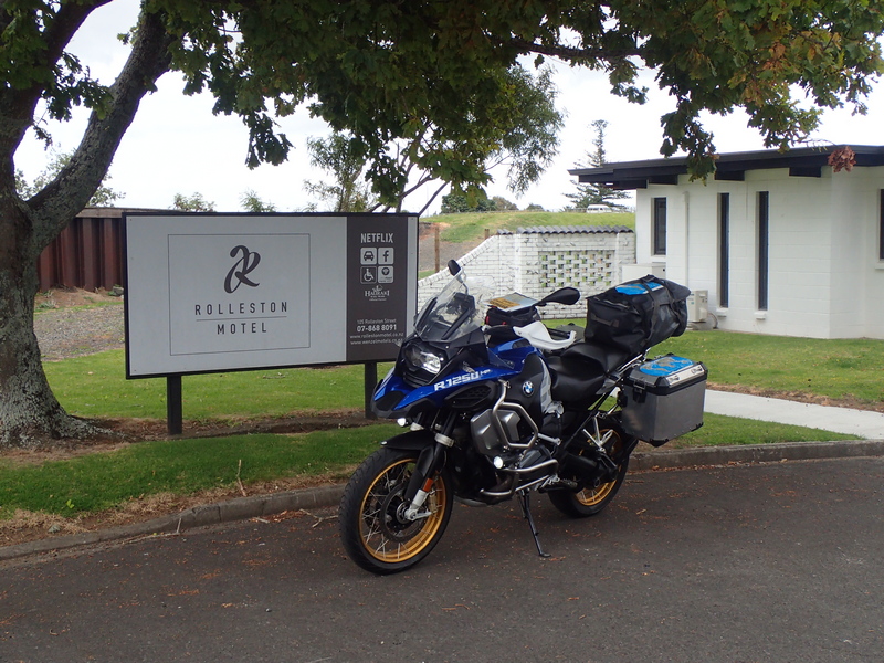
The Rolleston Motel in Thames
January 17 - Thames (round trip of the Coromandel Peninsula)
What a lovely ride around the Coromandel Peninsula! Ursula contacted me via the Adventure Riding New Zealand Facebook group and we arranged to ride around the peninsula torgether. It’s so nice to have local guide the way!{C}{C}{C} {C}{C}{C}
January 18 - Thames to Whangārei
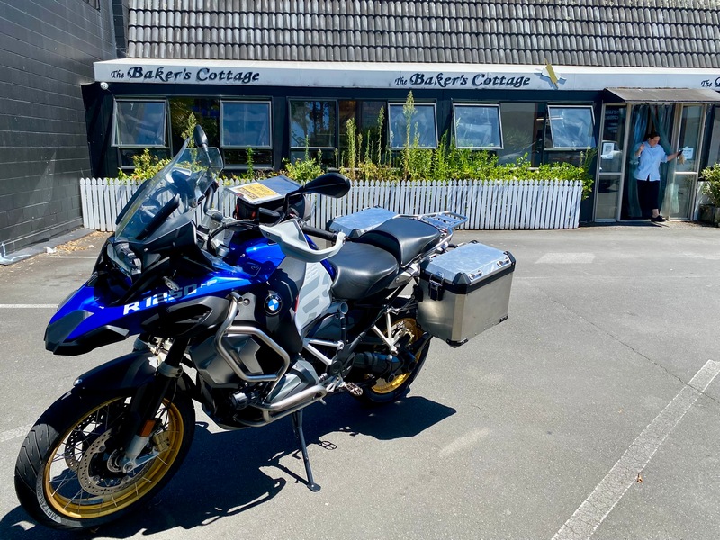
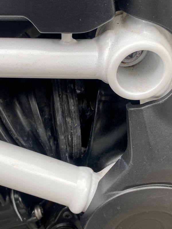
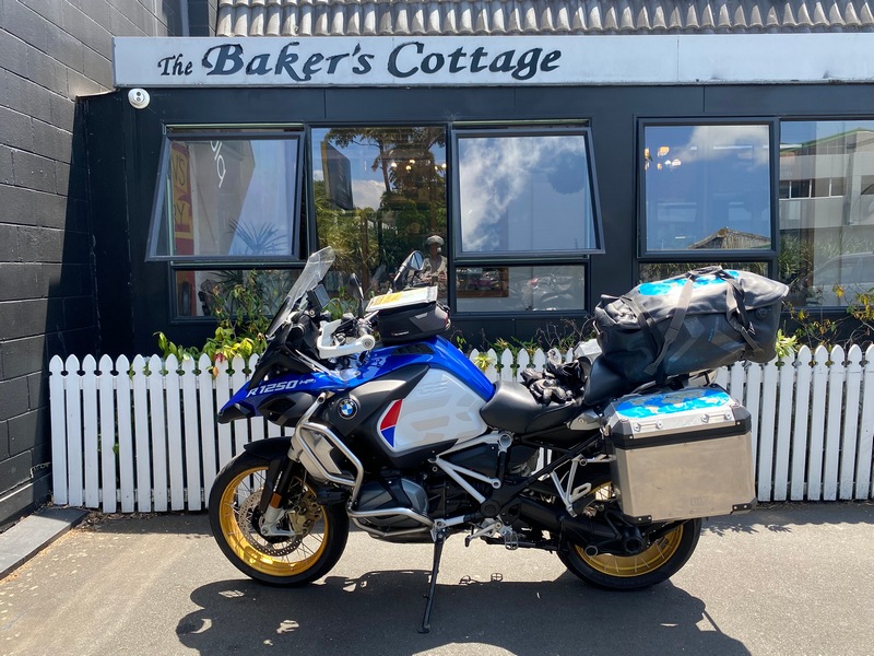
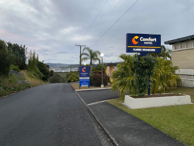
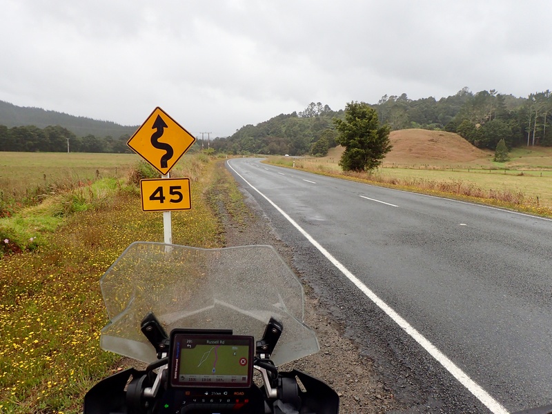
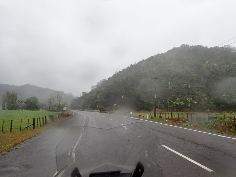
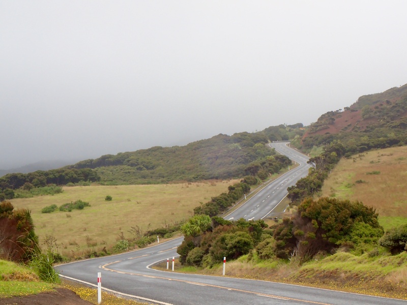
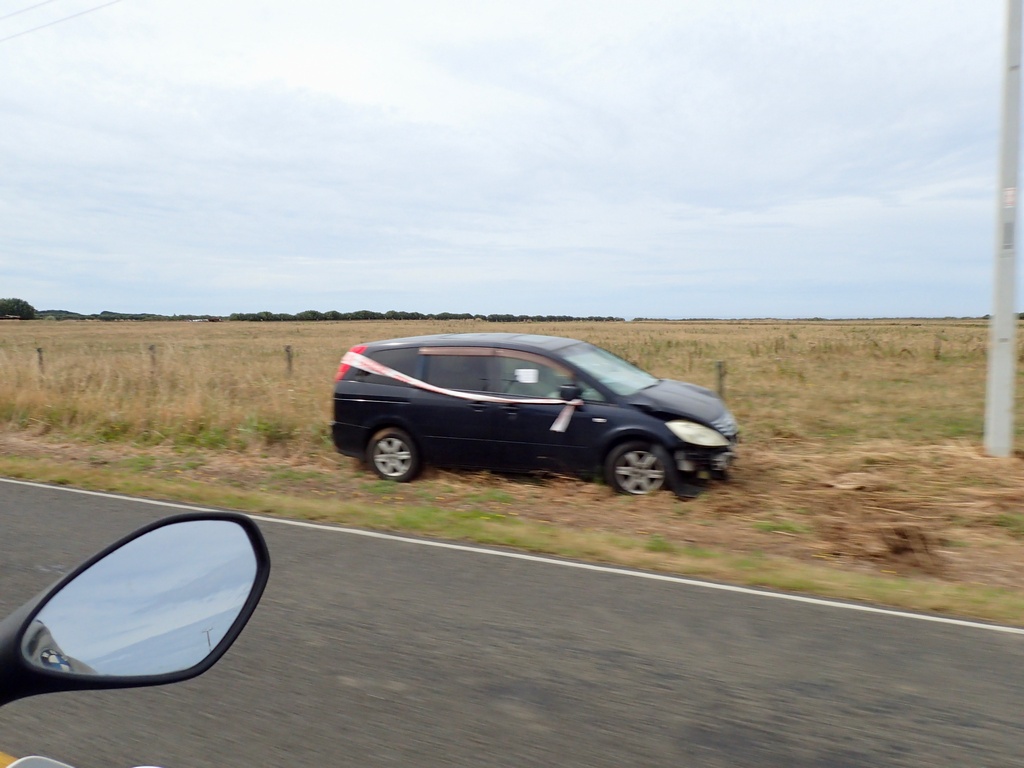
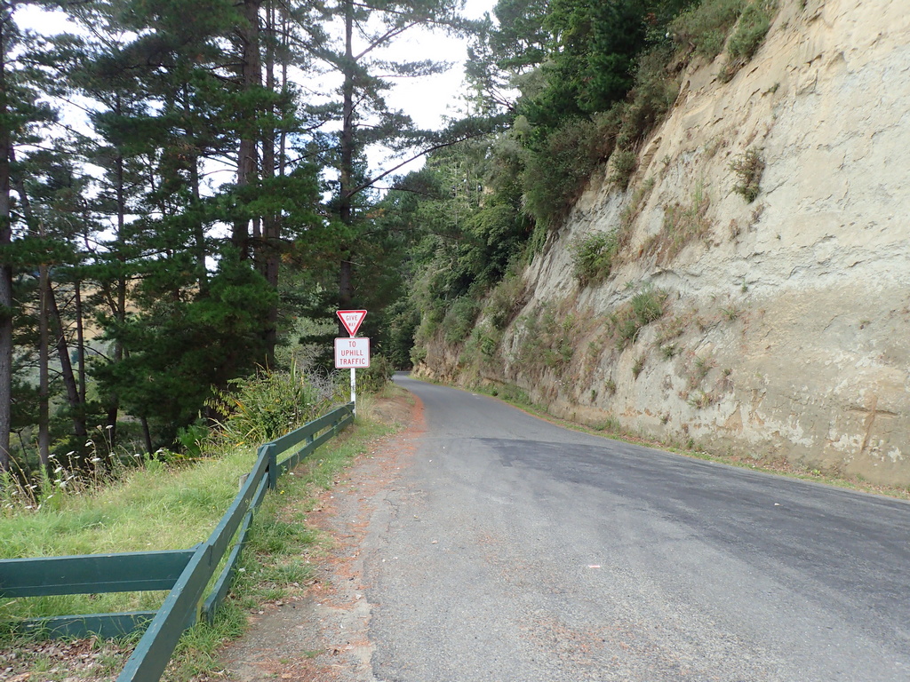
Well, that didn’t last long. The plan that is. Yesterday I noticed that a rubber boot on the driveshaft was loose. I tried to put it back on but no luck. Since Thames wasn’t that far from Auckland I arranged to return to Experience Motorcycles. When I arrived they took it in right away and were able to reinstall the boot but said the boot should be replaced. The part should arrive by next Tuesday and they could book me in with service for Thursday. Ah. Now it didn’t make sense to go south to Rotorua, just to come back north and south again. Francis, the service rep, suggested going north instead. So I am heading north to Cape Reinga, rather than doing that at the end of the trip. I made a reservation at the Comfort Hotel in Whangārei (the Wh sound is like a soft "F" or a hard "V" in Māori). Let's go! Well, a stop at The Baker's Cottage for a mince pie first. Obviously. It was a lovely ride once out of Auckland and away from the motorway. After check in and over dinner at the Flames restaurant I got out the maps and did a little planning. I decided to book the Old Oak Hotel in Mangōnui for two nights and then go up and down to Cape Reinga. After going for an evening stroll the hotel owner came over and said he would be more comfortable if I parked my motorcycle under cover and he would park the hotel's Previa van in front of it. Sure, safety first.The rubber boot has come loose, allowing dirt and grit to get into the driveshaft
Departure from Thames
Motorway north to Auckland
After getting the boot reinstalled and making a service appointment I was ready to head north. Almost.
A mince and cheese pie first...
Pretty countryside once out of the city and off the motorway
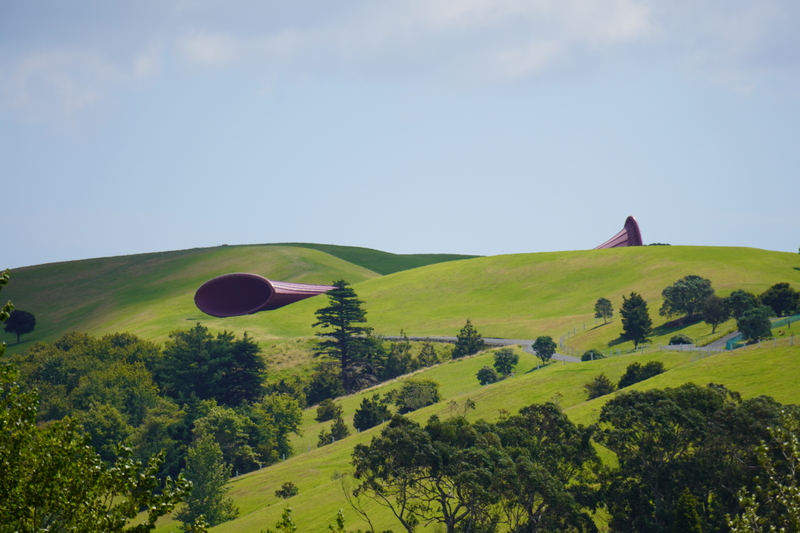
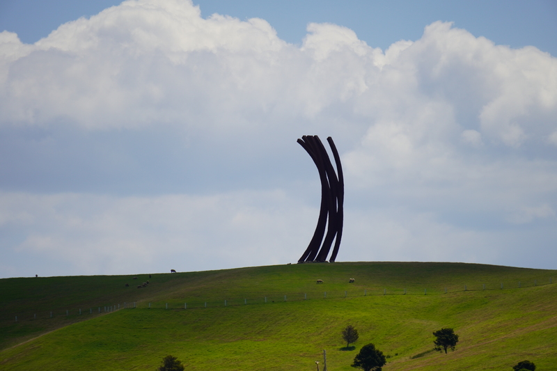
Huge sculptures on the hill but without signage I can't tell if it is open to the public
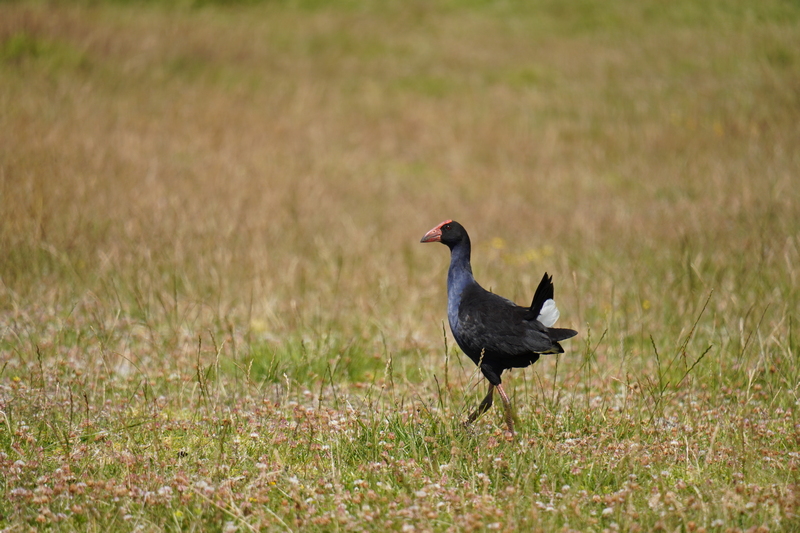
Time for the zoom lens then
An Australasian Swamphen is a little closer
Home for the night
Nice view from my balcony
Road maps and weather maps. What to do? Decided to ride to Mangōnui, stay for two nights and then go up and down to the Cape.
After dinner stroll
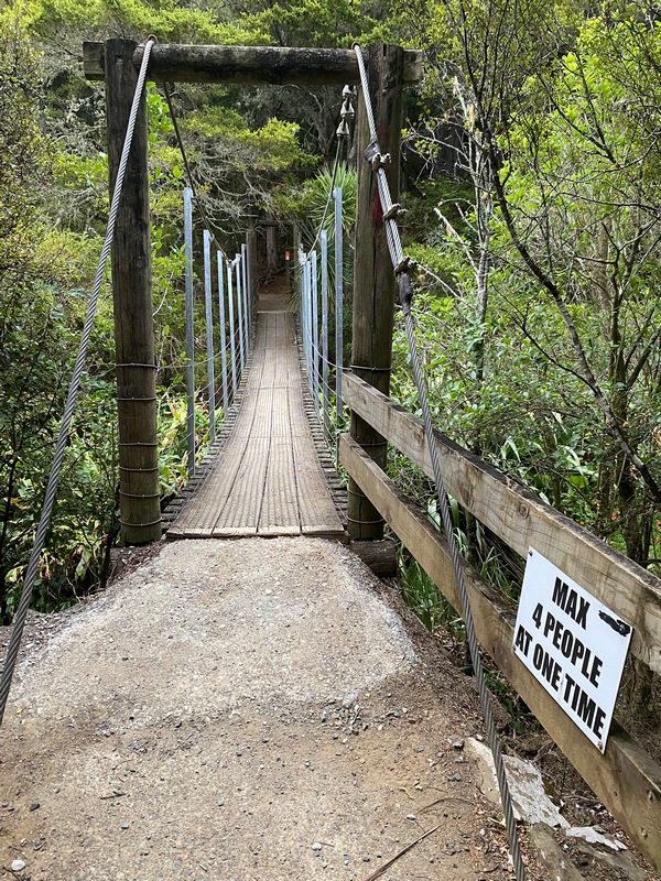
Good thing I had all that practice with suspension bridges in Nepal (and yes, I count for two people)
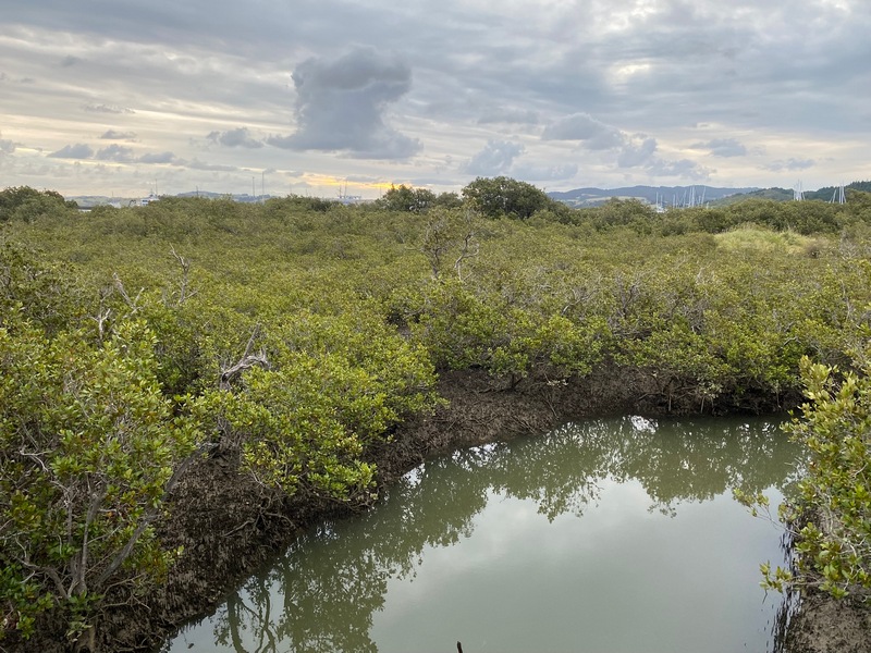
Mangrove swamp
January 19 - Whangārei to Mangōnui
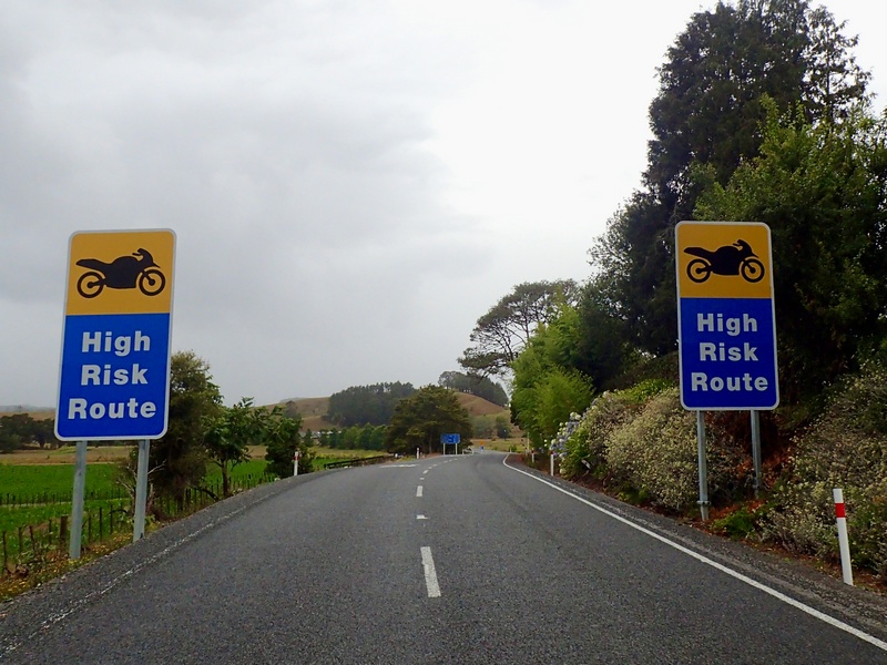
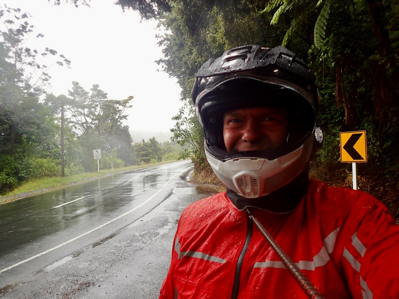
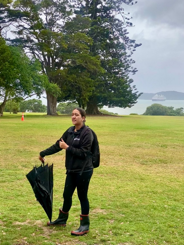
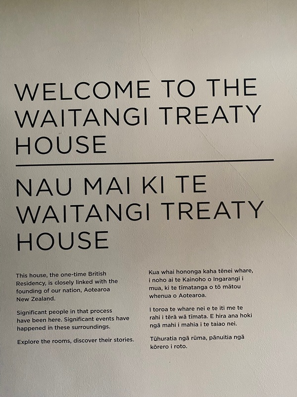
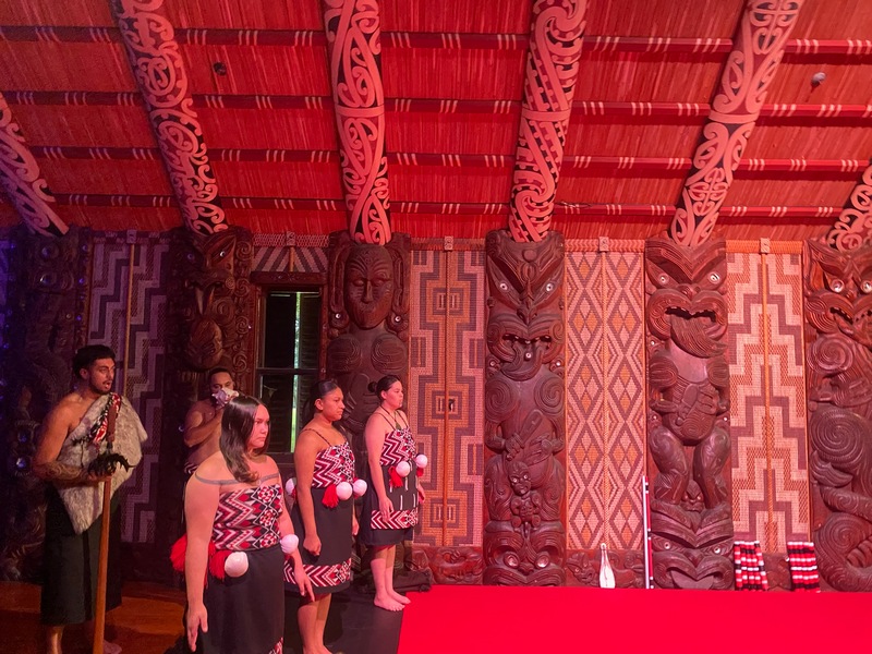
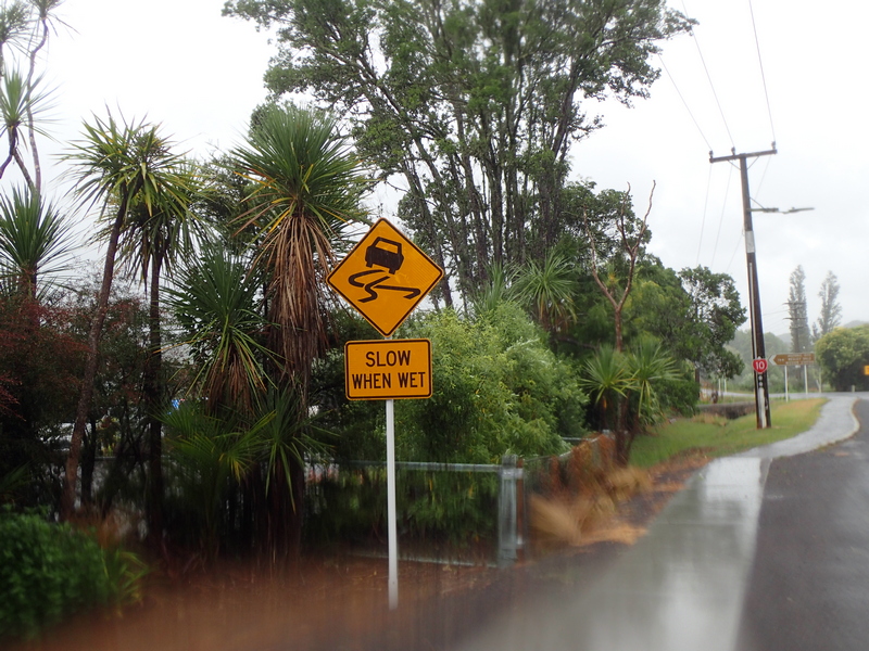
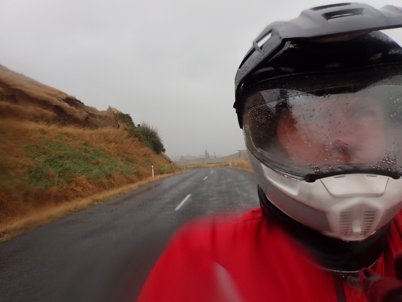
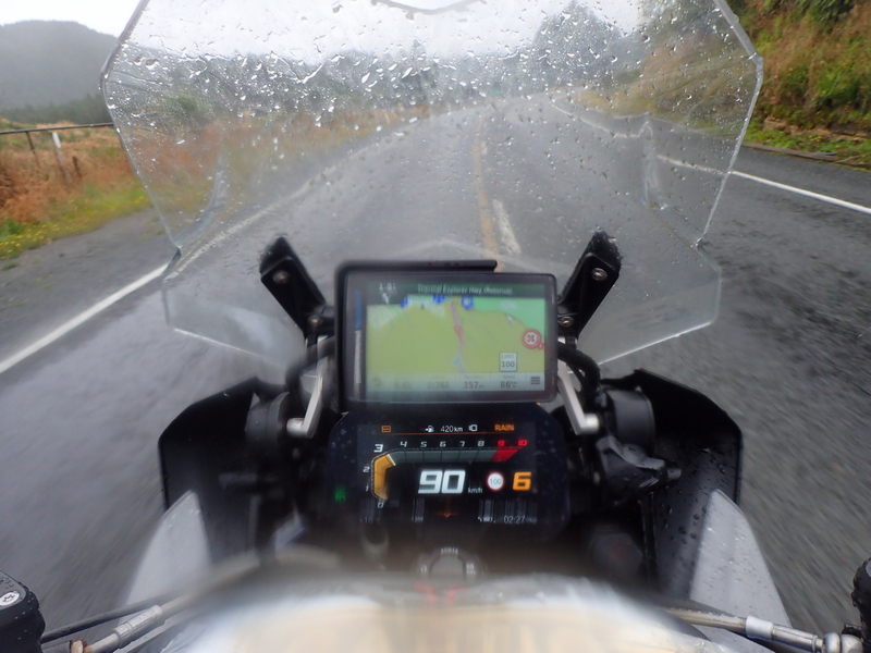
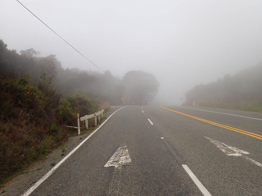
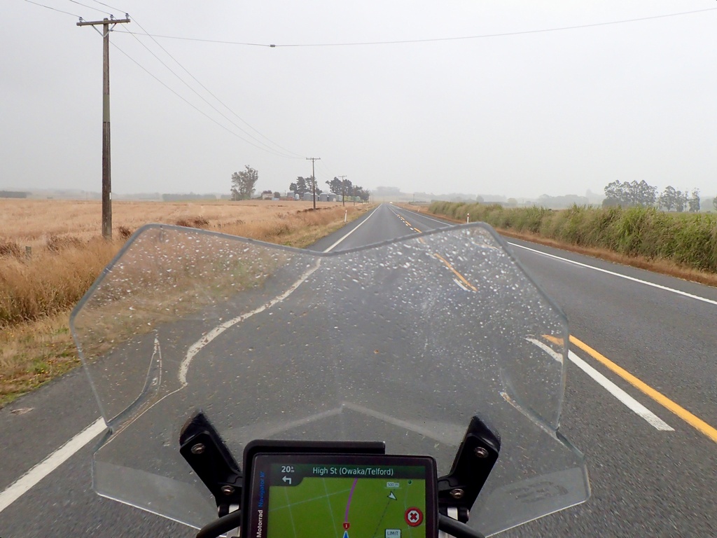
Quite a wet ride today as I head north towards Cape Reinga. Found a fun “high risk” road from the Twisting Throttle book but the wet conditions took some of the fun out of it. I wasn’t sure how much time I was going to spend at the Waitangi Treaty Grounds but a guided tour was just scheduled to leave when I showed up so I joined them. Fascinating history of New Zealand and the relationship with the Māori after the treaty signing in 1840. By 1860 the Crown had started taking advantage of the Māori (selling Māori land without their approval) and by 1877 the treaty was essentially nullified with the Māori forced to assimilate. After a short cultural show I got back in the rain gear and finished my wet ride to Mangōnui where I had booked the Old Oak Hotel.Well this should be fun then
Actually went pretty close to the posted speed in the wet
And it certainly was wet
Even a short ferry ride included with today's fun (NZ$8.50)
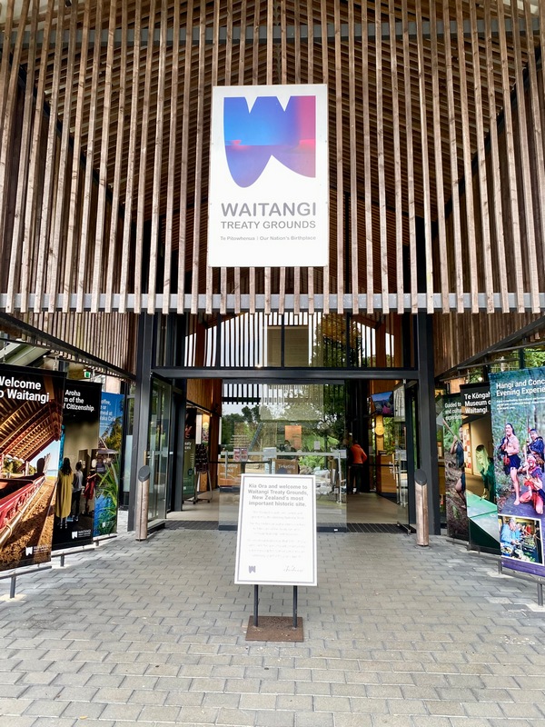
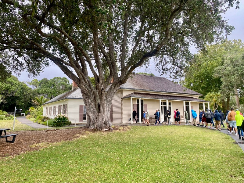
Entrance to the Waitangi Treat Grounds
Our enthusiastic guide
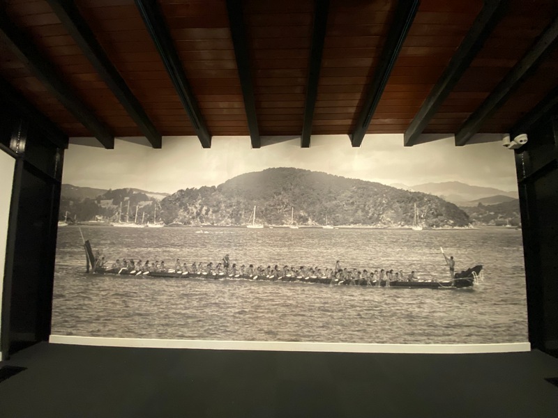
The haka built for the centennial anniversary of the treaty in 1940
It is a large canoe
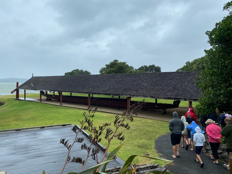
200 warriors (all men until Princess Diana asked if she could have a ride), 35 metres long and 9 tons
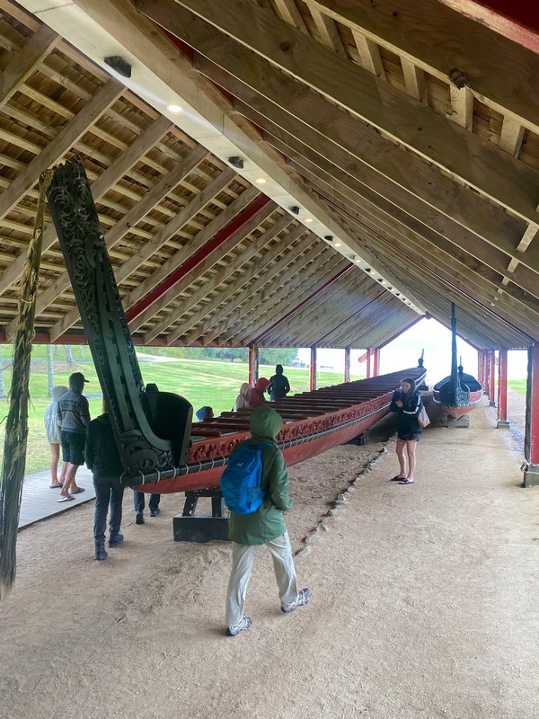
James Busby's British Residency is the Treaty House
A cultural show included with the ticket price
Back on a wet motorcycle
Okay, I get it
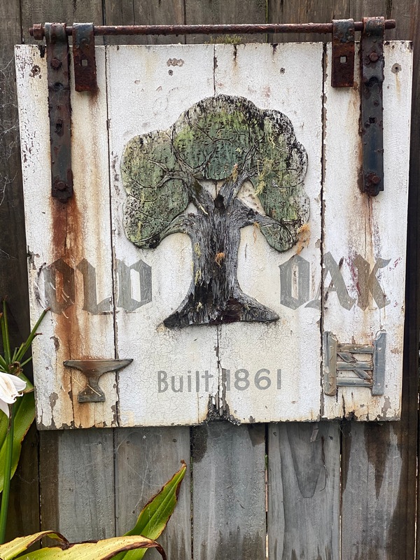
Audrey would have loved this boutique hotel
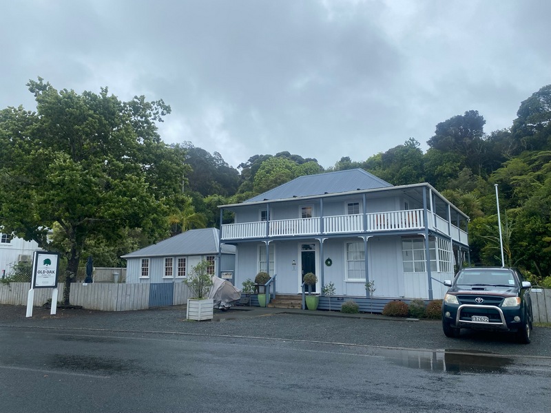
Built in 1861
I wasn't expecting such a spacious and bright room (with a covered patio out back to dry out the motorcycle rain gear)
January 20 - Mangōnui to Cape Reinga and back
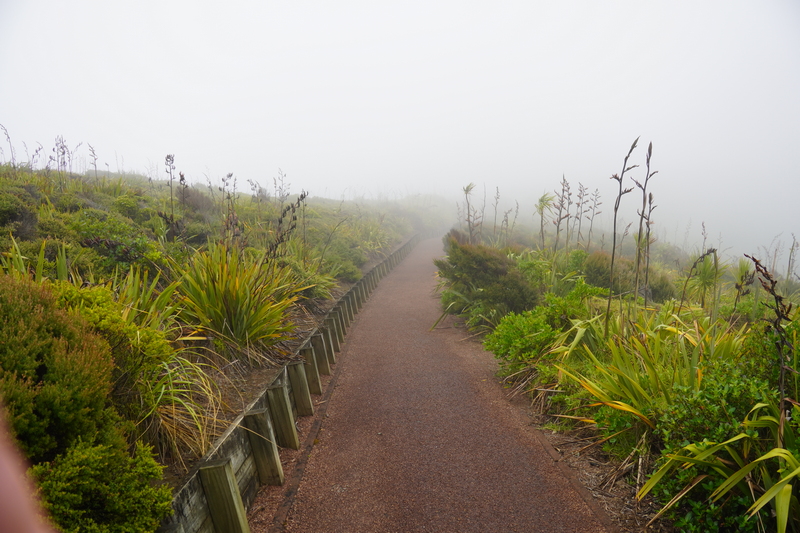
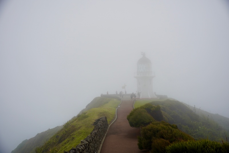
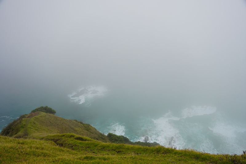
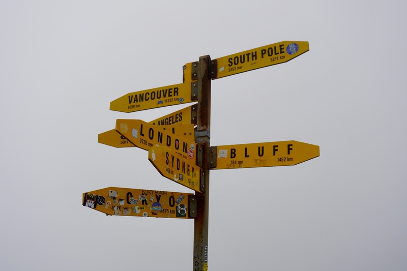
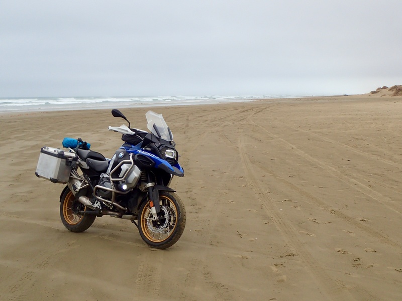
Up to the Far North! A wet and foggy ride to Cape Reinga, the northern-most point in New Zealand. Legend has it that the Māori came to New Zealand here 800 years ago. This is also the point from which souls of the dead depart this earth. From ‘Inspired Traveller’s Guide: Spiritual Places’ by Sarah Baxter: “Their life essence is said to travel to the far north, sweeping up the coast. It will pass near to the Waipoua Forest, home to the tree known as Tane Mahuta, a giant kauri estimated to have an age of 1,250 to 2,500 years. Next, the spirit will skim along wild Ninety Mile Beach (actually 64 miles long) to the tip of Cape Reinga. Here, it will slide down Te Aka, a root of the wizened pohutukawa tree that is reputed to be 800 years old, and travel underwater beneath Te Ripo-a-Mauria-nuku, the powerful current at the collision of the oceans. This leads it to Manawatawhi (last breath), the largest of the uninhabited Three Kings Islands. The spirit climbs up to the island’s highest point for a final look back at the world. Then it plunges into the deep, to return to Hinenuitepo’s safe-keeping.” In my mind I saw Audrey gliding up 90 Mile Beach and slip beneath the waves. On the way back I popped over to 90 Mile Beach on a muddy, slippery gravel road. Once through the soft sand, it was fairly firm on the beach itself. Not firm enough to put the sidestand down though. Would have been fun to ride the whole length but not with this weather and I didn’t check the tide tables…Pick up picnic supplies to have at Cape Reinga (not remembering that one isn't allowed to take food to this sacred place)
Gas up
Damp, foggy and windy

Approaching Cape Reinga
There should be a lighthouse out there somewhere
That's it!
You can imagine souls slipping into the water here
Vancouver 11,222 km north and Bluff 1,452 km south. Let's go!
The furthest north I will go on this trip. It's all south from here.

Heading south
A muddy gravel road leads for 10 km to 90 Mile Beach
Then a soft sand section
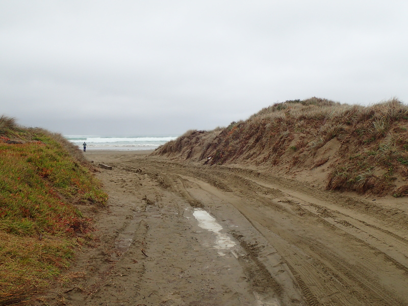
And we're on the beach! Should I go back north? Maybe not today.
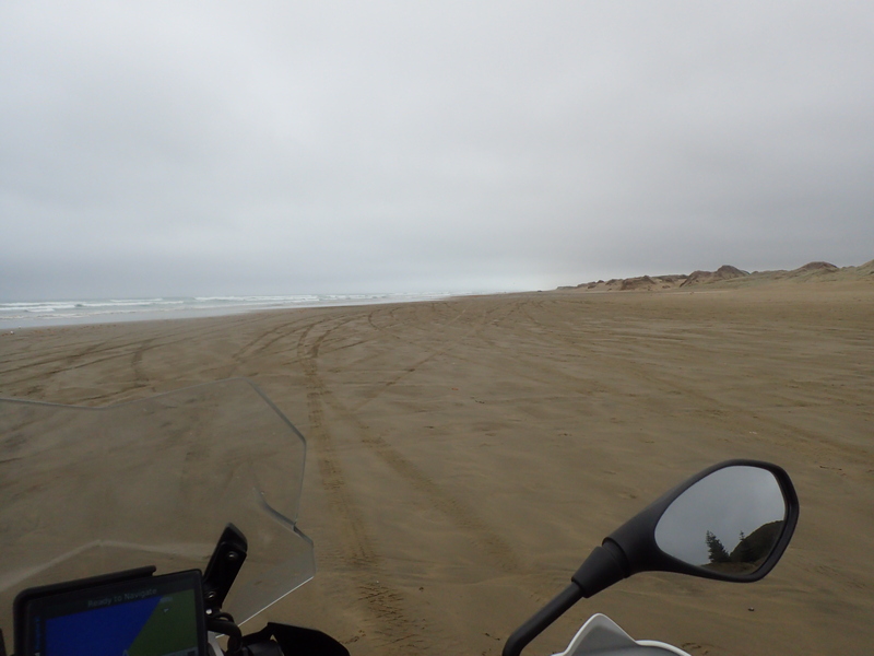
Finally found a patch of sand firm enough to put the sidestand down
Southward bound
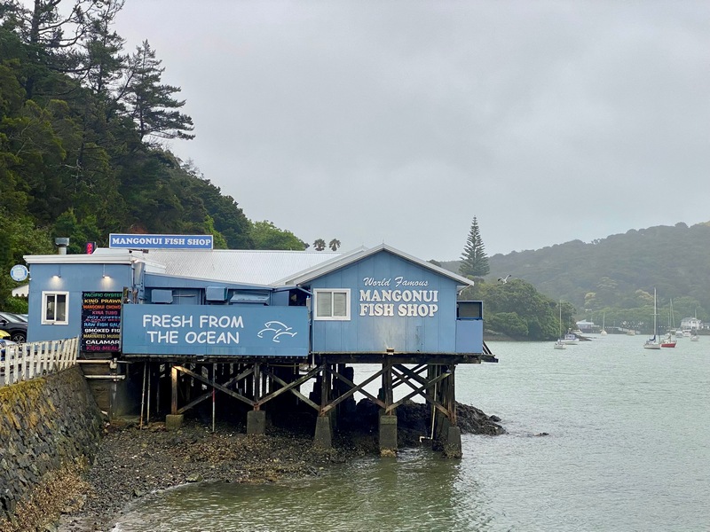
Back in Mangōnui for some fabulous fish and chips at the Mangōnui Fish Shop (apparently it's quite famous)
OK, we're not in Canada anymore
Cape Reinga Relive video
{C}{C}{C}
{C}{C}{C}
January 21 - Mangōnui to Dagraville
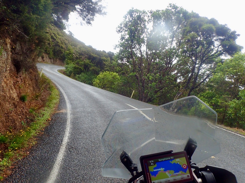
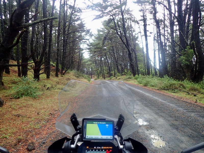
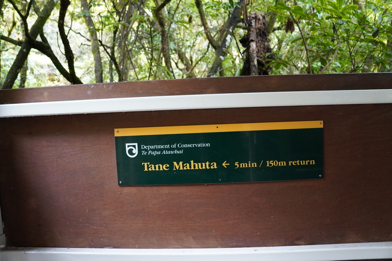
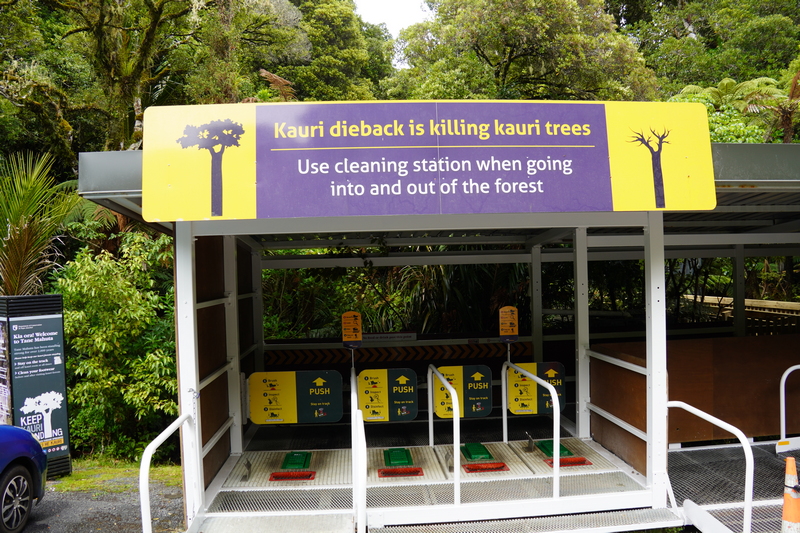
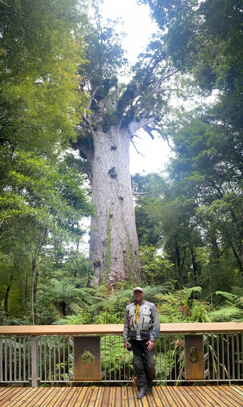
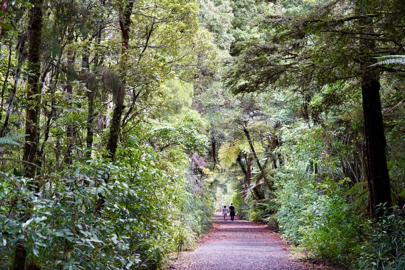
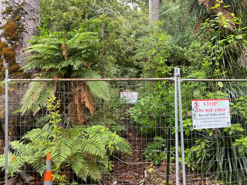
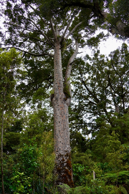
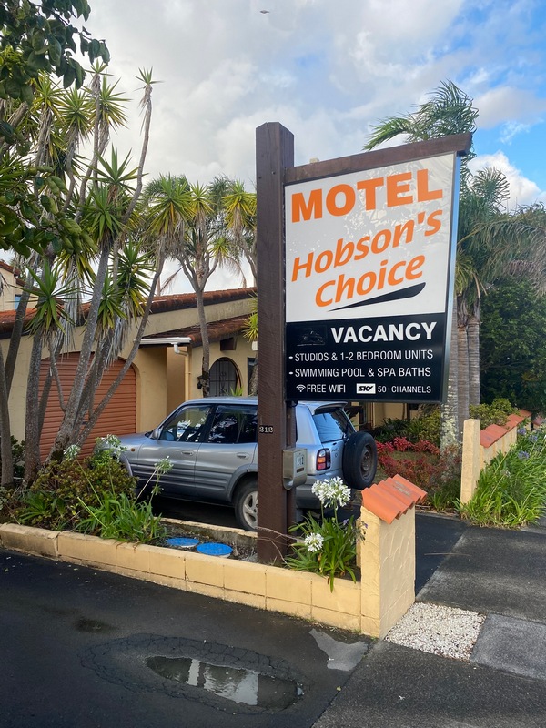
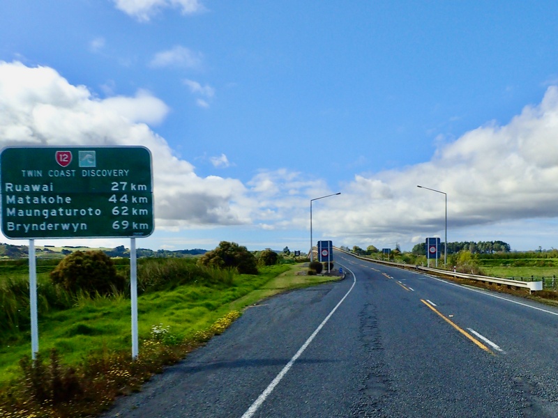
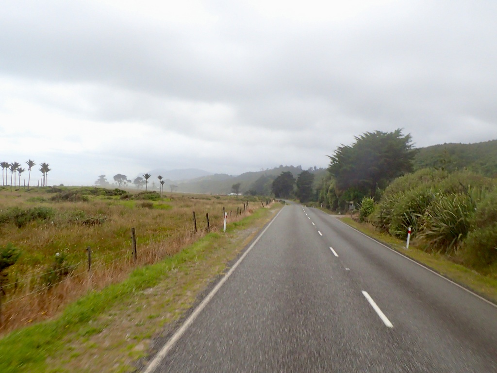
Big Trees! Rode from Mangōnui to Dagraville via the Waipoua Forest and its enormous kauri trees. For some reason the GPS was hell bent in getting me on some gravel roads. I declined at first as it suggested about 80 km of wet, muddy track. Rerouting (and reprogramming the device to avoid gravel roads) it again suggested a gravel road, rather than going to Highway 1, but I was a few kilometres in when it turned to gravel so didn’t want to backtrack. About 20 kilometres of wet, slippy mud later I had a nice and dirty GS. After lunch of a granola bar and a cappuccino at a roadside stand the GPS again took me on a gravel track but by now it had stopped raining (mostly) so the dry gravel was more fun. Eventually I did make it to Waipoua Forest and to Tāne Mahuta, also called "God of the Forest". The largest tree in the forest, with a 16 metre circumference, is between 1,200 and 2,500 years old. Another stop a short way down the road at the Four Sisters (four conjoined kauri trees) was a bit of a bust as the trail to those trees was closed. But still it was lovely 10 minute stroll in the forest to the closed trail. On to Dagraville (founded in 1872 for gum and timber trade) where I stayed at Hobson's Choice.Lovely old Vauxhall. Nice to see these classics being used.
Finally relented and took the gravel roads the GPS insisted I take
Quintessential New Zealand (though to be honest, I haven't seen that many sheep farms)
Gravel roads are more fun when they're not wet and muddy
Sign to God of the Forest
A fungus is killing the kauri trees so it is mandatory to santize one's footwear going in and out of the forest
There is the Big Boy
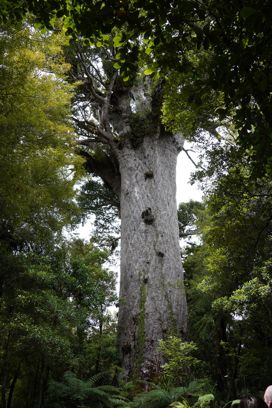
There is the Big Boy
A short ride through the forest to the Four Sisters walk

A lovely stroll through the forest
The Four Sisters (four conjoined kauri trees) are closed to the public because of the risk of the fungus causing a dieback
Lovely kauri tree right beside the trail though
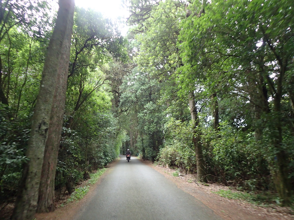
Riding through the kauri forest
Arriving in Dagraville on the shores of the Northern Wairoa River
The town was founded on the gum and timber industry
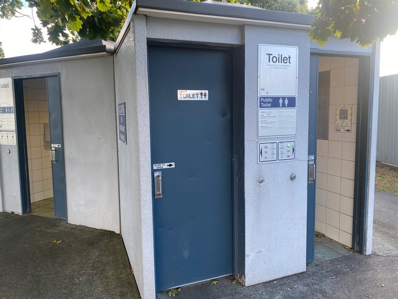
New Zealand has plenty of clean public toilets
Check in
January 22 - Dagraville to Auckland
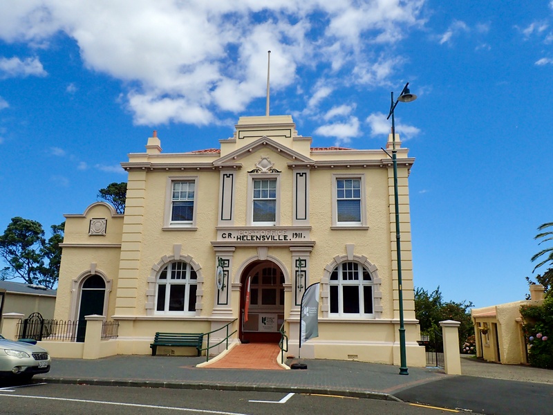
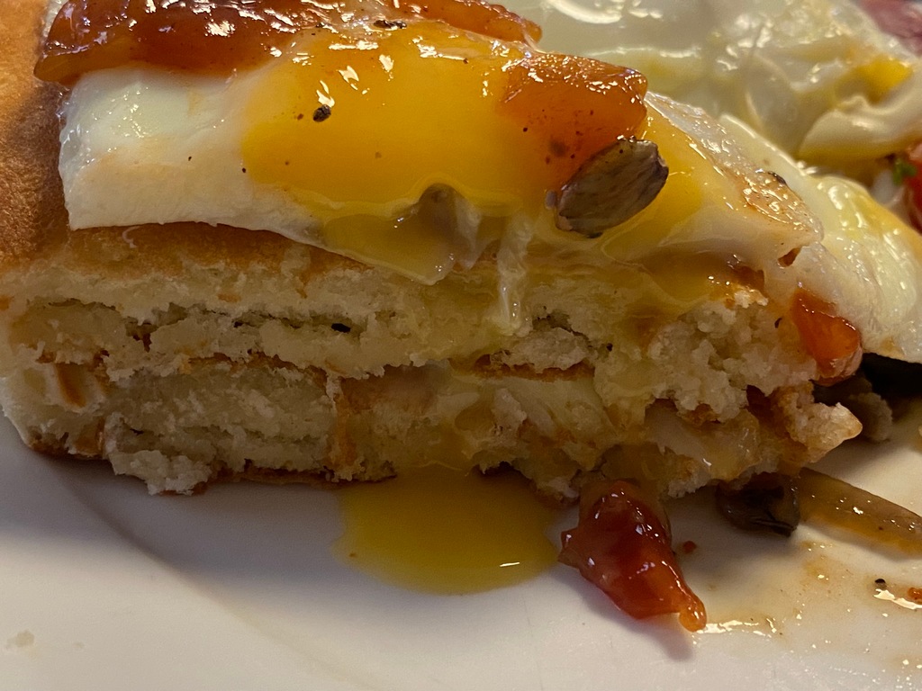
It has been a great week of travelling up to Cape Reinga, but there has been something missing. Something I couldn’t quite place my finger on. But I found it.I am back in Auckland to get the rubber boot on the driveshaft replaced. I think I will take an extra day here to update the website with the first chapter of the New Zealand section before resuming my southward journey. My first impressions of New Zealand are really positive, it's a lovely country with very friendly people. I like how the motels almost always have a kitchenette and they are well stocked with tea and a kettle (rather than a coffee maker in North America).
Yes! Found at a large Woolworths grocery store.
Heading back to Auckland
Very nice riding
The El Camino lives! I think the car/pickup comes from Australia
Stopped for lunch in Helensville (though not at the classic post office)
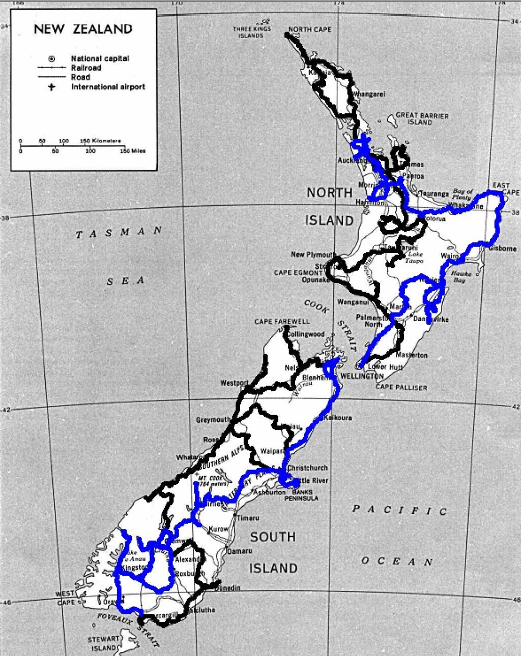
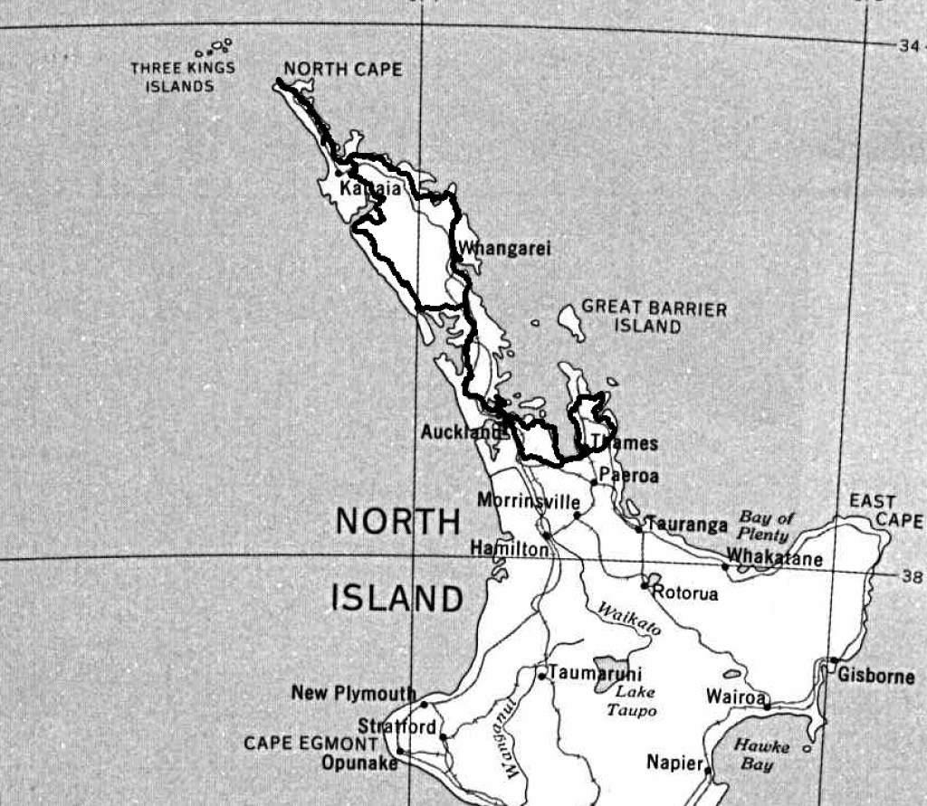
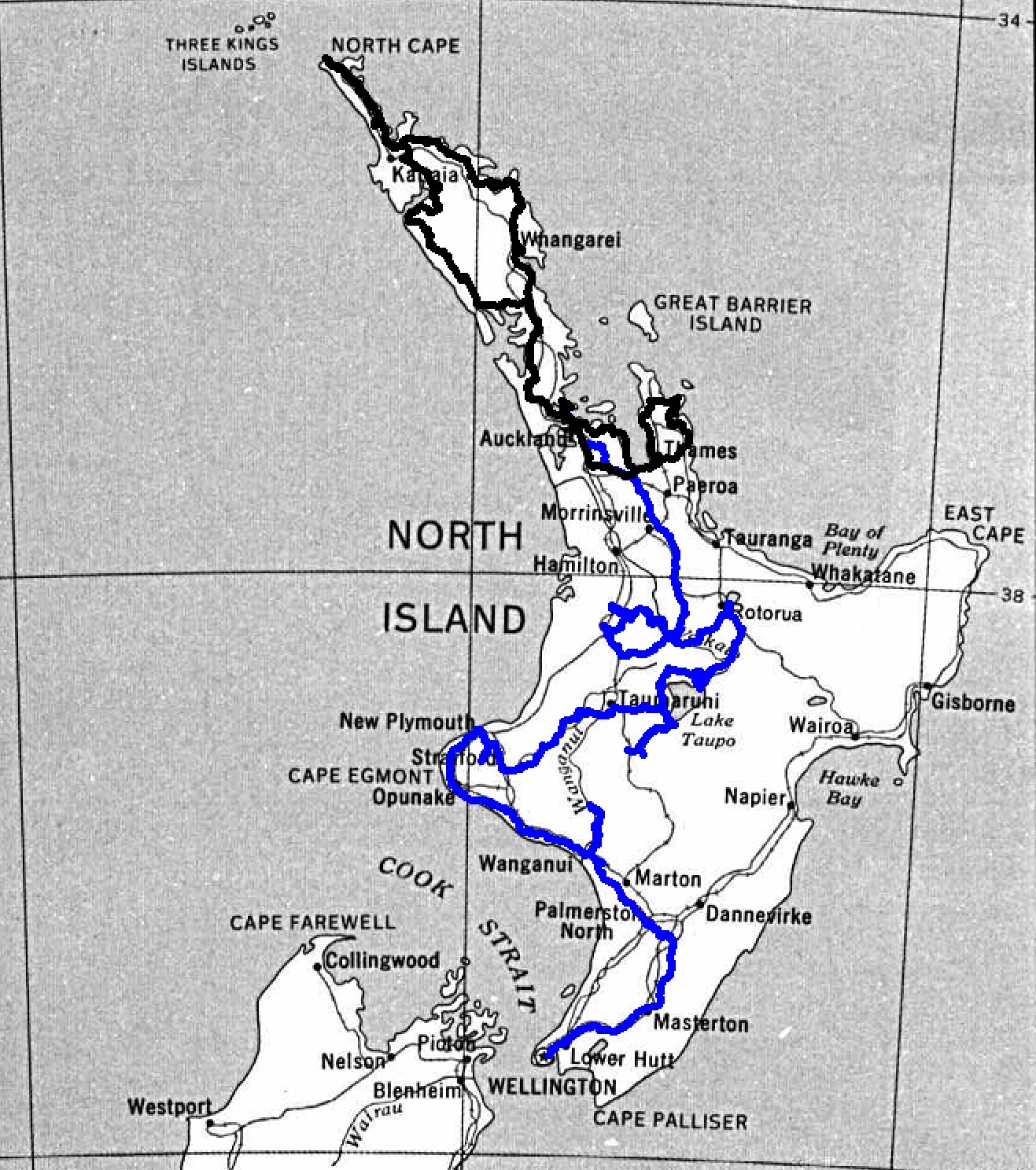
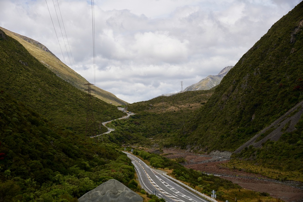
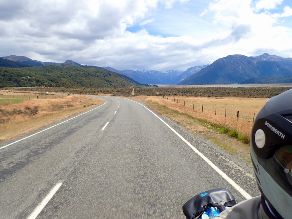
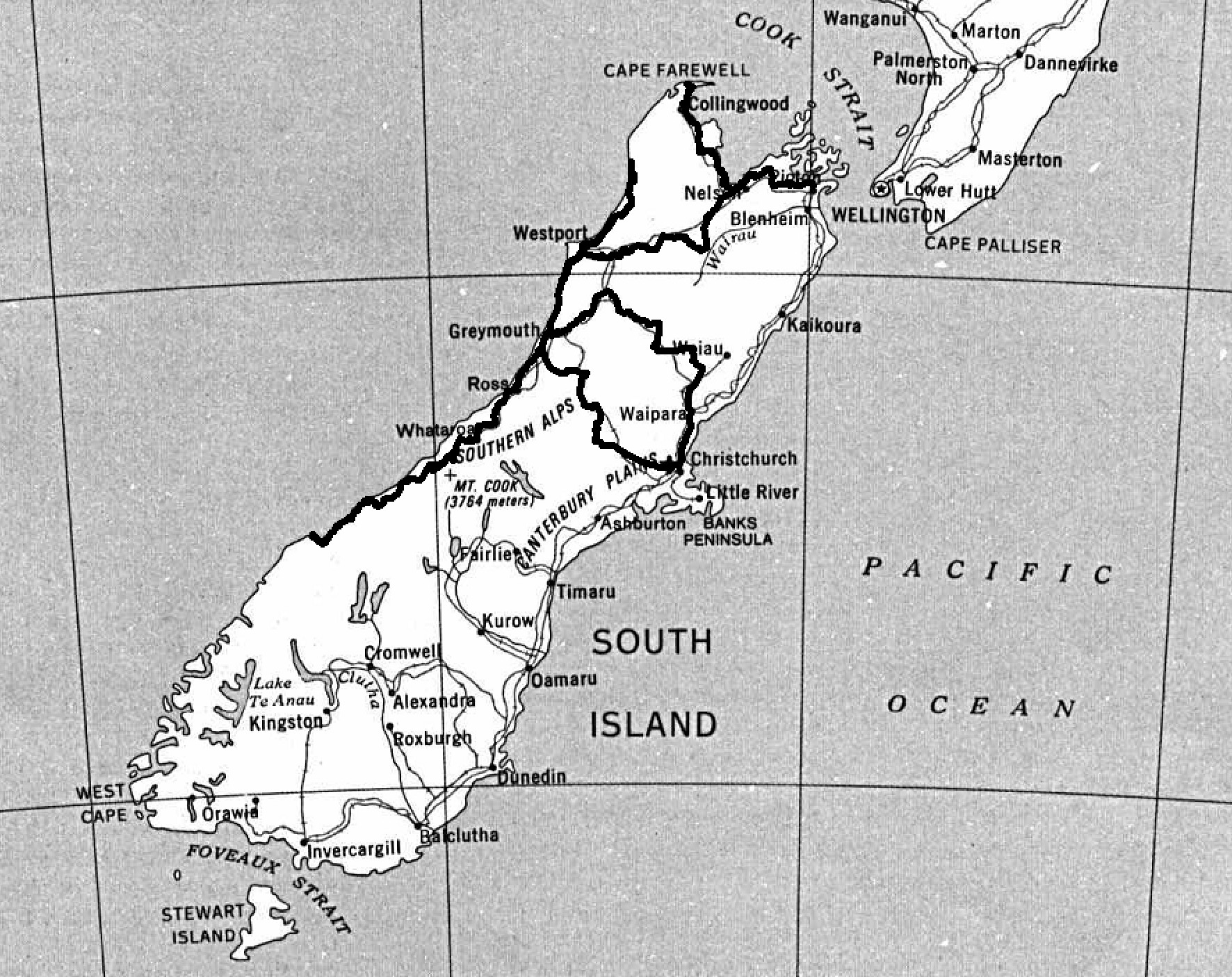
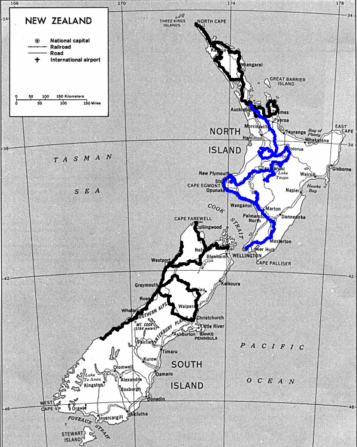
Tracks in New Zealand so far
More detailed map but in black and white
Next Chapter: South of North
Chapter 2: South of North Island
January 25 - Auckland to Te Kūiti
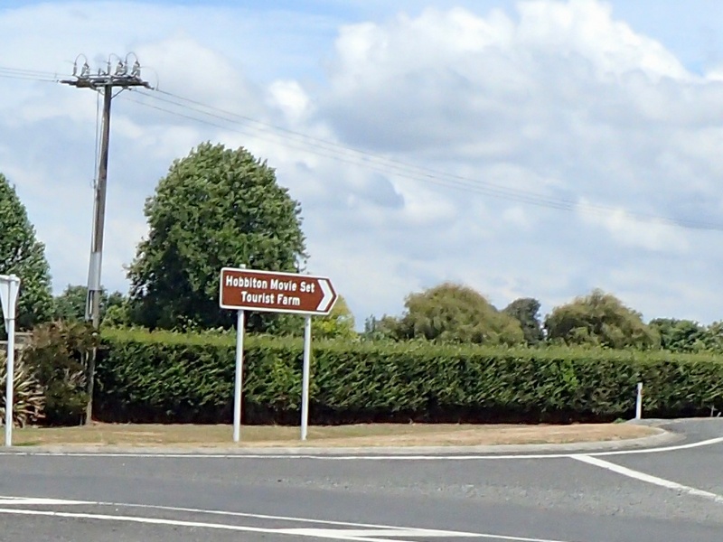
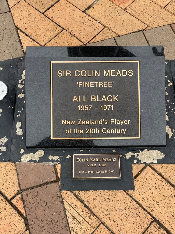
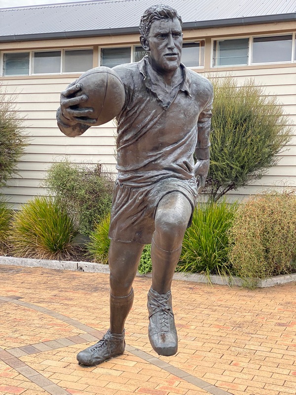
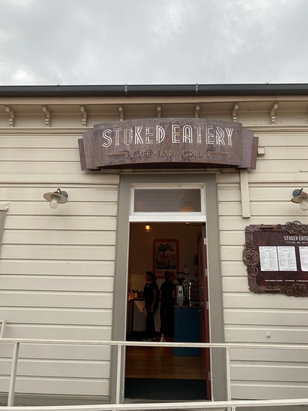
After getting the driveshaft boot replaced at Experience Motorcycles, I was ready to resume my trip. Friday evening, I had a nice Italian meal at Paparazzi that reminded me so much of our 30th anniversary dinner at the Italian Farmhouse in Bragg Creek that I had to share it with Audrey. Saturday morning, I packed up from the Quest Mt. Eden hotel and jumped on the motorway to get out of Auckland. Google Maps showed a few slowdowns (every time I have been on the motorway there have been crashes with long queues of traffic) so I planned to get off the motorway as soon as practical and have a look at the map over a cup of tea. At the Beans & Leaves Café in Papakura I had a great chai latte and a delicious date scone while I reviewed my route. I took the Hunua Gorge road out of town and went to take a picture using my pocket camera when I noticed the Write Protect was on. I pulled over to fix it and noticed that the pocket with my phone was unzipped. The phone was missing! I turned around and rode slowly back to the cafe but saw no shattered phone along the road. As I pulled into the parking lot I saw a woman looking at the ground near where I had parked. There it was! Whew. OK, let’s try that again. Back on the Hunua Road I had to pull over again, because in all the excitement I hadn’t turned off the Write Protect. Thank goodness the rest of the ride was less dramatic. I had a picnic lunch in The Shire, near Hobbiton. If I would have been more of a Lord of the Rings fan (and been shorter) I would have gone on the tour. Lovely riding after lunch along Highway 30 as the road flowed through open countryside all the way to Te Kūiti, home of Sir Colin Meads, New Zealand's player of the 20th century. Delicious Jerk Chicken salad and a ginger beer at the Stoked Eatery rounded out the day.Italian dinner with Audrey (just like our 30th anniversary dinner)
The power had gone out so the bill was printed and I had to pay with cash (good thing I had stopped at an ATM)
Hunua Gorge road out of town (with phone in pocket this time)
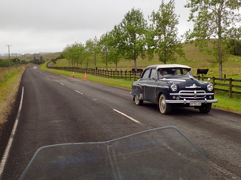
Lots of classic cars in New Zealand, like this '66 Chrysler Imperial

In the Shire, close to Hobbiton
Picnic in the Shire
Wide open Highway 30
Oh, I hope not
Mainstreet Te Kūiti

Jerk Chicken Salad and Ginger Beer at the old railway station
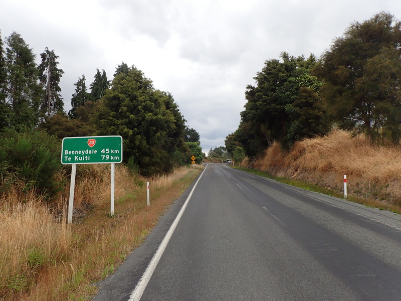
January 26 - Te Kūiti to Rotorua
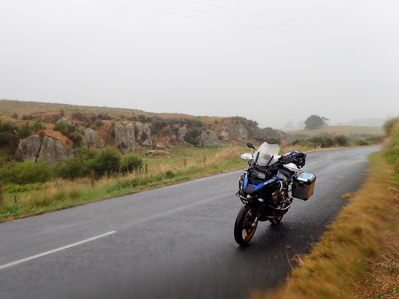
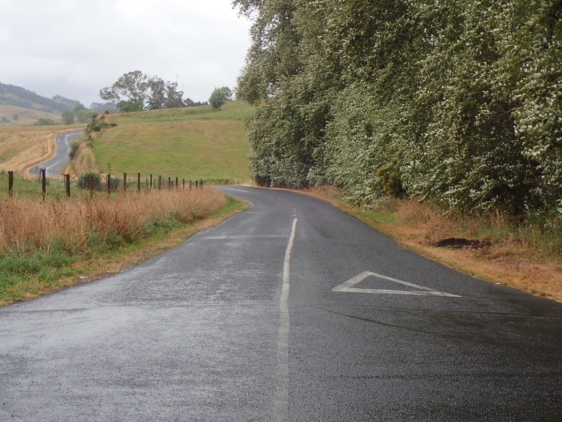
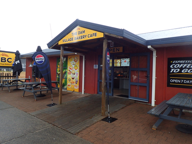
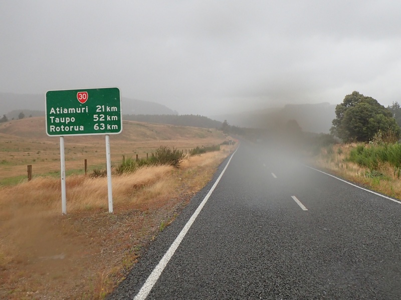
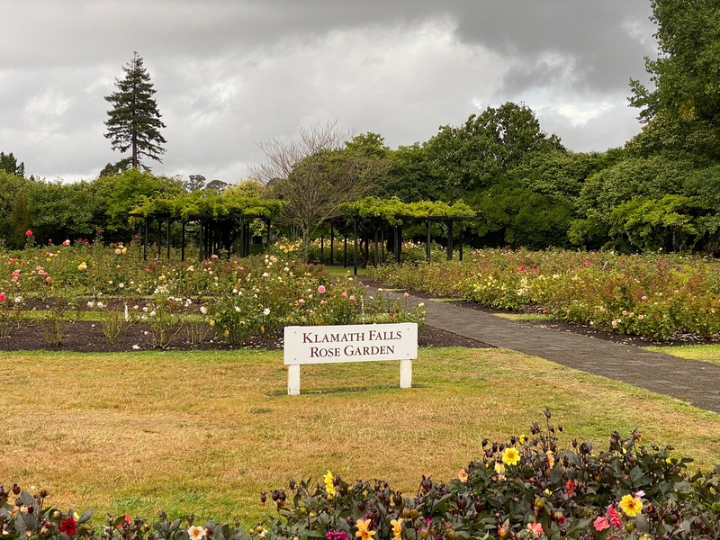
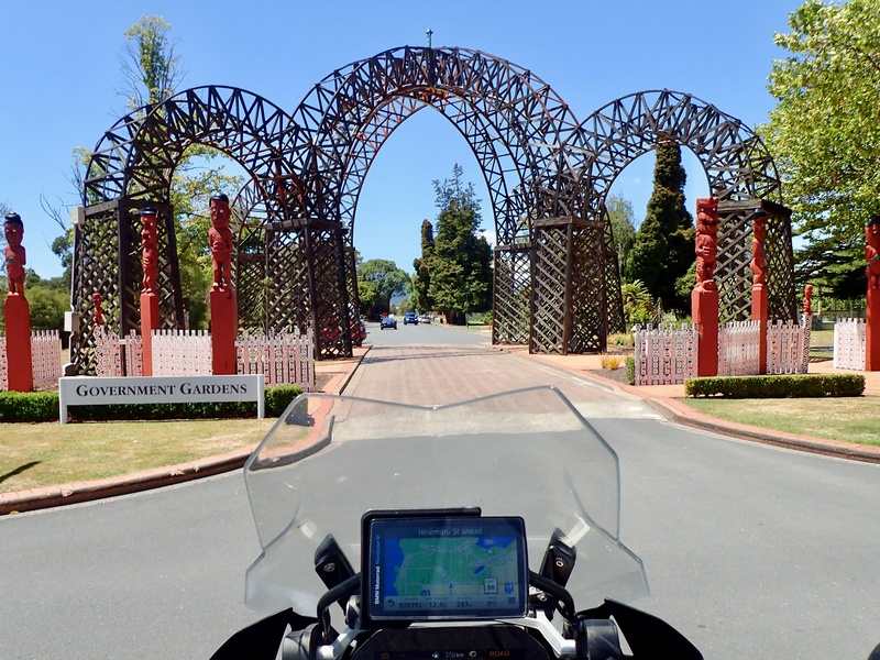
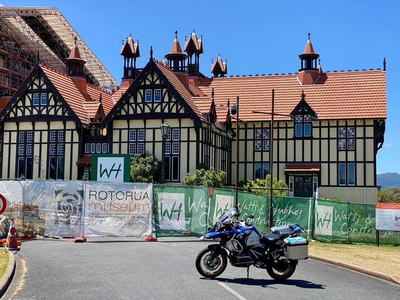
Last night the wind and rain were pounding outside, so I was glad that it was just a light rain when I got up. Yesterday I had ridden the southern half of the Chapter 11 route in the Twisting Throttle book (the lovely, open Highway 30) so the plan for today was to complete the loop. This part was a bit tricky in that there were a lot of junctions on small roads. Fortunately, Mike Hyde had included GPS coordinates for the junctions so I had preprogrammed the route last night. Now it was a simple matter of following the directions on the GPS. This was indeed fairly straightforward but complicated by the rain which made it difficult to read the GPS through the faceshield. But, it was lovely riding on some really remote roads, with almost no traffic. I had passed by the Dam Village Cafe yesterday and there was a group of motorcyclists sitting outside so I made that my lunch destination. I was really looking forward to that New Zealand staple; a pie for lunch. But alas their pie making machine was in for upgrades, so I had to make do with a sausage and fries. (Not even close to my dream currywurst.) Light rain for the remaining hour to Rotorua. I could smell Rotorua's sulphurous hot springs from 8 kilometres out of town. And then the heavens opened up, with water bucketing down, making it even more challenging to follow the GPS. And of course, I made a sopping wet mess of the lobby when I checked in. After an afternoon inside, out of the rain, I ventured outside for supper as the rain let up to a light drizzle. Vietnamese food was a good choice and then I went for a walk to the lakeshore and around to Government Gardens. Too bad the famous museum building (apparently the most photographed building in New Zealand) was under wraps as it is being restored from earthquake damage.A wet start to the day
Lovely, quiet backroads
Tough reading the GPS for directions
Stopped under a tree for a break and looked back. What nice riding. And I can understand why it is all so green.
Best bakery by a dam site
Only 63 kilometres but many, many litres of water
Hey, it beats -20 Celsius and snow
Check in at the Quest hotel and I was given an accessible room. I have the full Hobbiton experience right here!
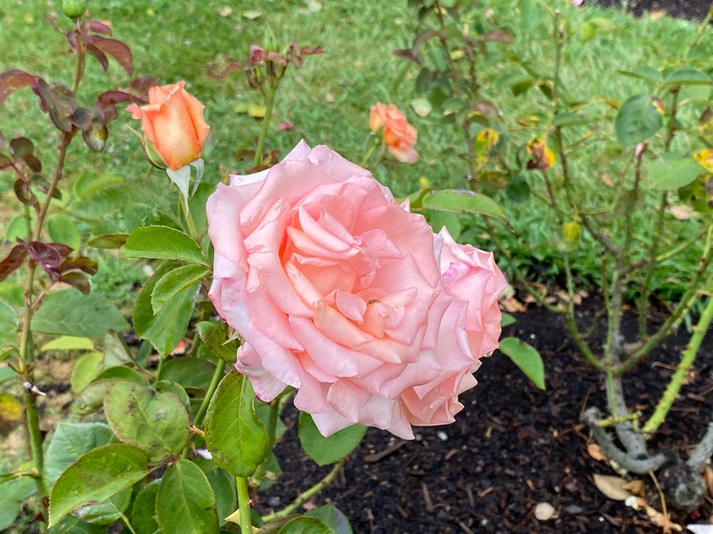
The rose garden inside Government Gardens in Rorotua
The Rorotua Museum is being renovated after being damaged in an earthquake
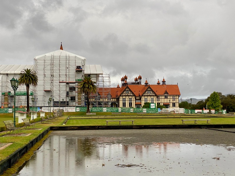
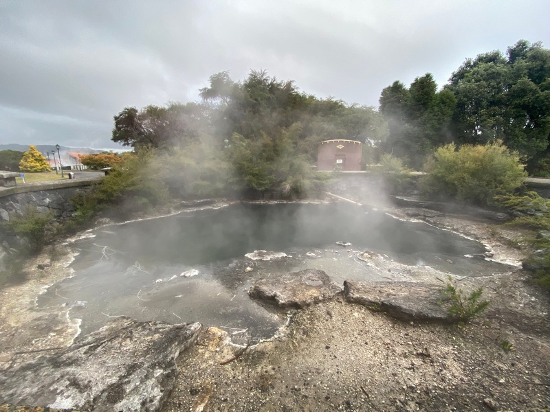
Hotpools even in the garden
January 27 – Rotorua
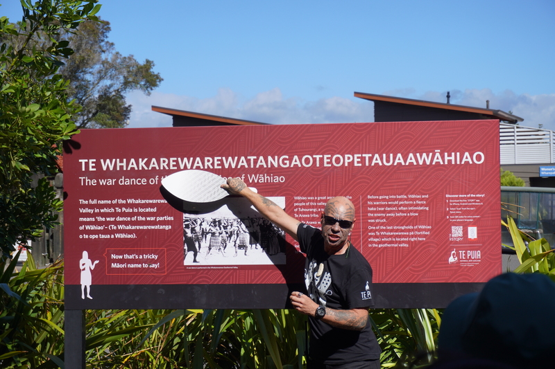
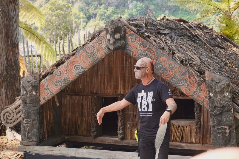
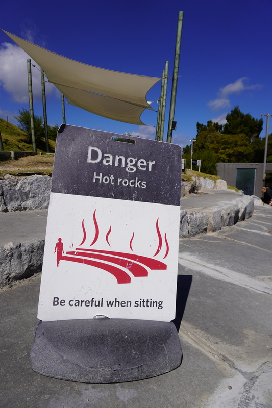
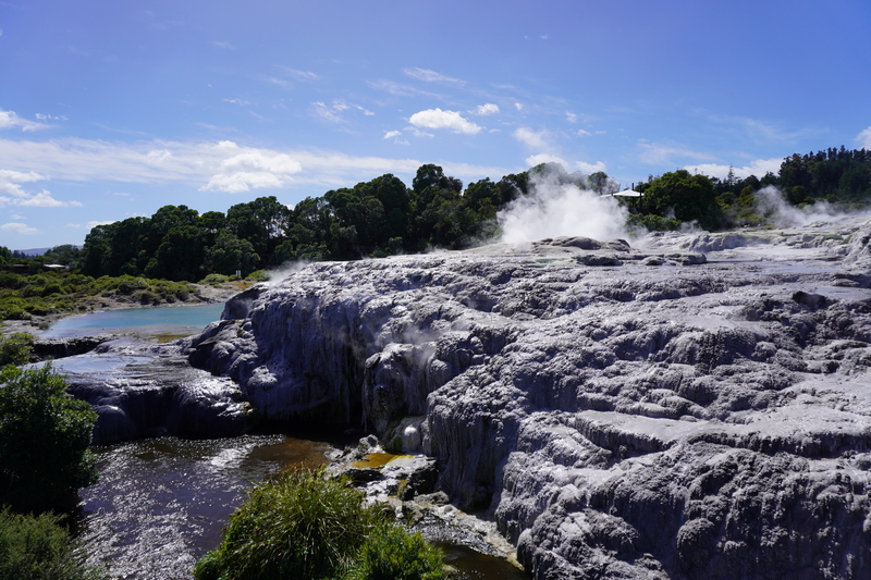
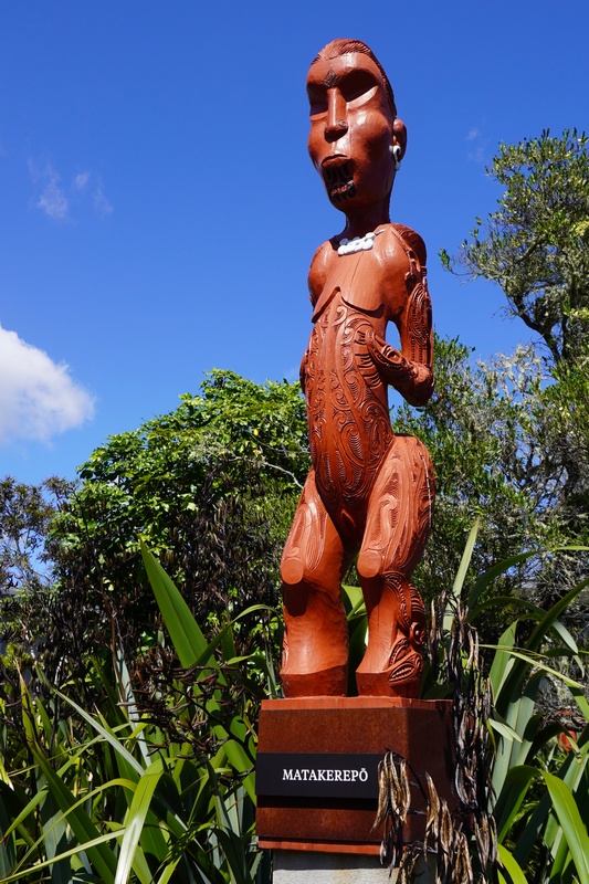
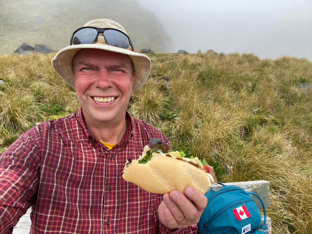
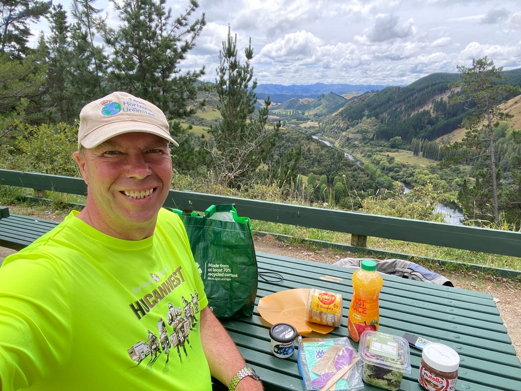
Today dawned so sunny that yesterday's downpour seemed like a dream. Because of the long weekend (Happy Auckland Foundation Day!) the hotel was almost fully booked, and I was given an accessible room. The counter tops are so low that I feel like I didn’t miss Hobbiton. I rode over to Te Puia, a Māori cultural experience centre. While we didn’t get to visit the village where 70 families live, our guide was very informative as we toured the geothermal area, talking of Māori traditions and seeing kiwis in their nocturnal habitat. We missed Pohutu geyser's eruption though it was still fascinating to watch it steaming away on its mineralized terraces. Afterwards there was a cultural show where our chief, Gary from Saskatchewan, was welcomed by the Māori before we could enter. Inside, the dancing was very similar to the show at the Waitamo Treaty Centre. While having lunch in the Te Puia cafeteria, I received a text from John Fitzwater, whom I had met in Mexico on the way to Panamá. He was in town with a tour group that he was leading with his company Go Tour NZ and invited me to join them for dinner at Leonardo’s on Eat Street. It was great reconnecting with John after almost 3.5 years and it was nice to meet the three couples on the 21-day tour. If you have limited time, I can certainly see the advantages of a tour.Our guide at Te Puia helps with Māori pronunciation
Houses dug into the ground for insulation in winter and cool earthen floor in summer
Geothermal area
Pohutu geyser between eruptions
What beautiful colours
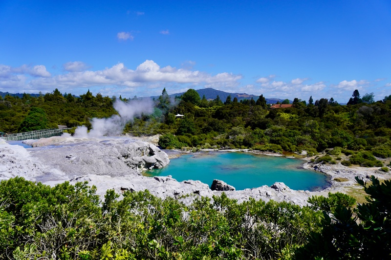
Bubbling mud pool
Entry to the craft studios
Welcoming committee for the cultural dance
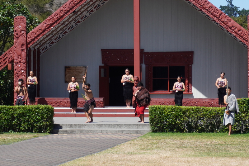
They send out their fiercest warrior to test our chief
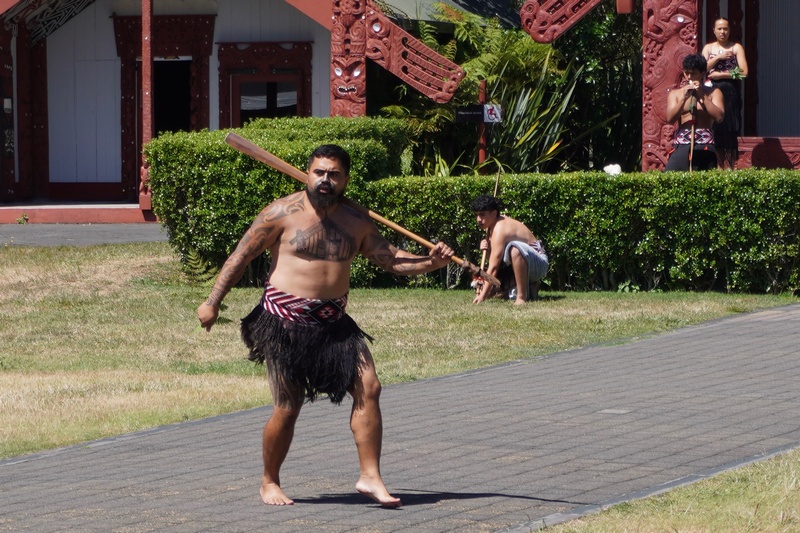
Our chief, Gary from Saskatchewan, passes the test and we are allowed to enter
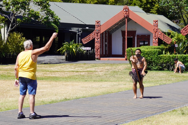
Cultural dance
Ride over to Government Gardens for a photo
Too bad about the restoration work
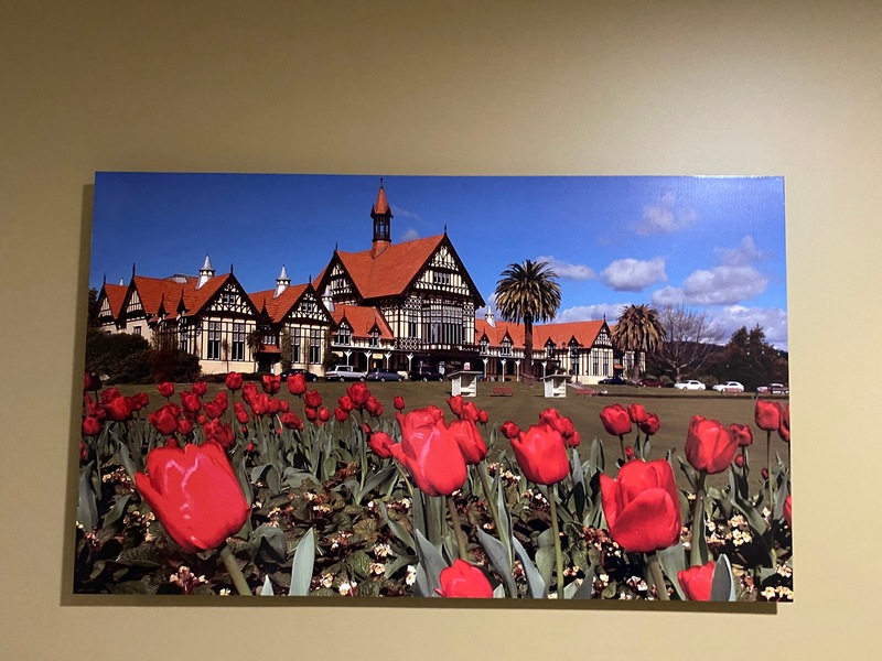
A photograph in the hotel is a bit of a teaser
Walking along the waterfront I spotted this unique vehicle
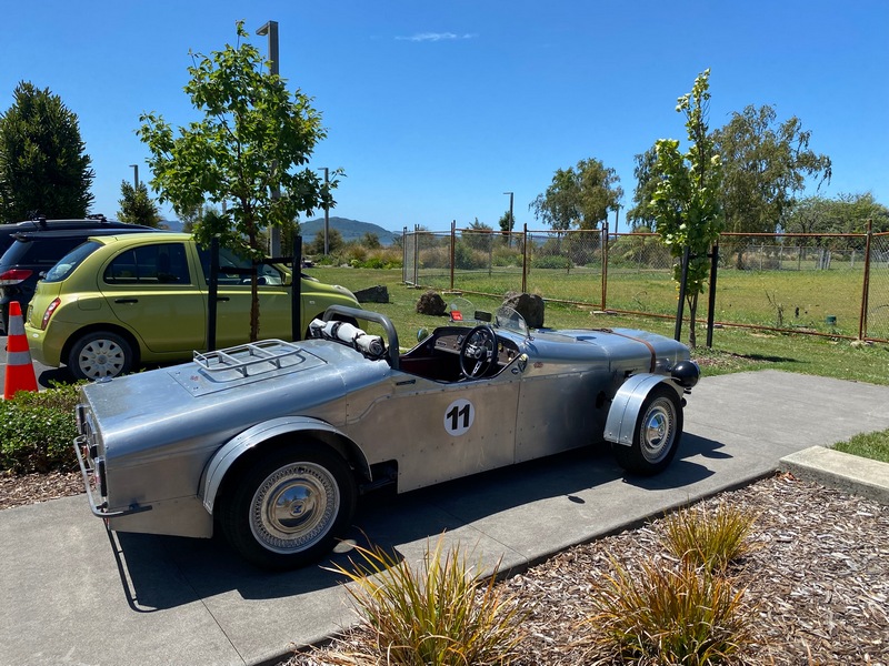
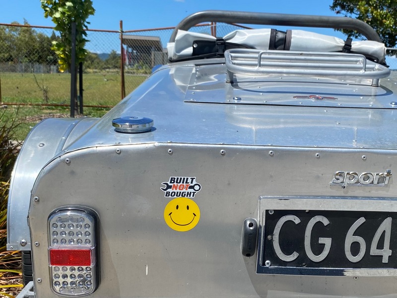
Ah, that's why it is unique. Built not Bought.
Meet up with John Fitzwater at Leonardo's restaurant
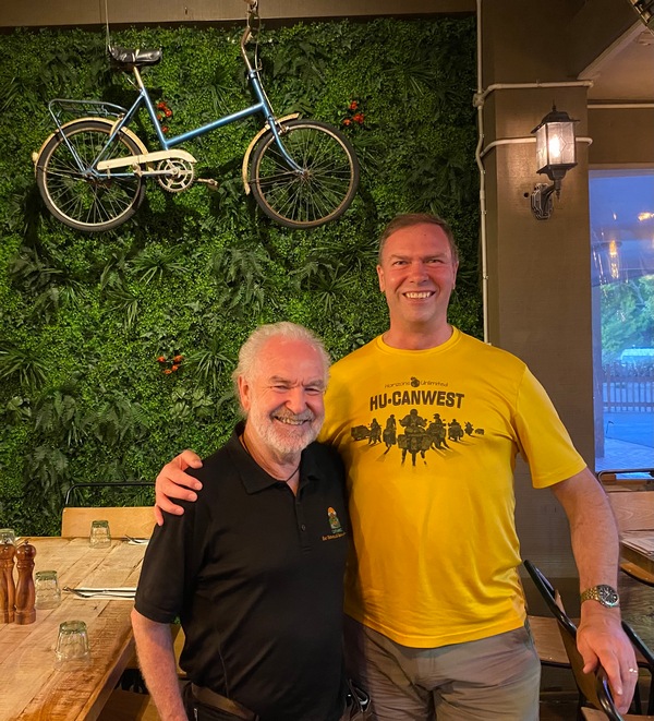
The last time I met John was in 2021, riding together from Mazatlan to San Miguel de Allende
Lovely evening in Rotorua
January 28 - Rotorua to Tūrangi
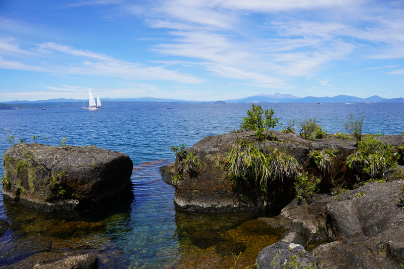
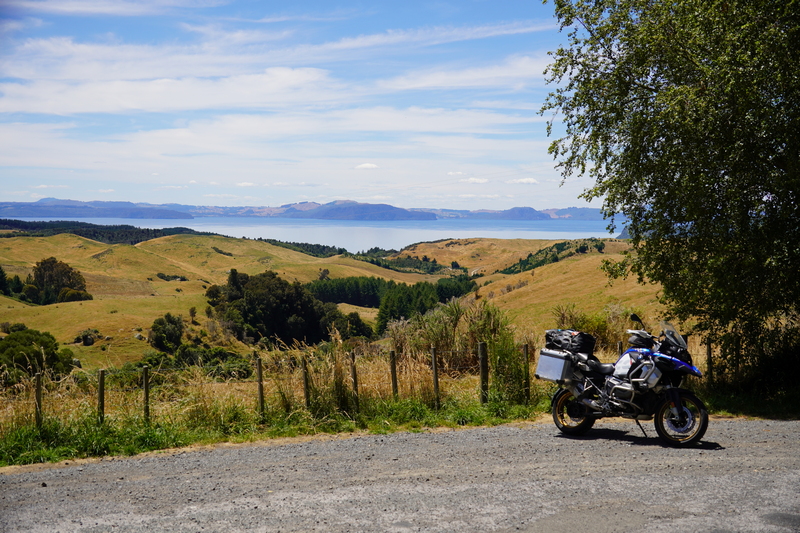
It wasn’t a long ride from Rotorua to Tūrangi, going around Lake Taupō, so I made sure to stop a few times. First was a scenic overlook at Taupō where I saw a sign for Huka Falls so made a slight detour to the outfall from Lake Taupō. It was more of a chute than a falls but pretty, nonetheless. Back home I had seen a Māori carving on the shore of Lake Taupō on a map so had made a note of visiting it. I parked at the trailhead but a sign indicated the carving was only visible by boat. Oh well, I went for a nice stroll in the woods anyway, so that I had a nice view of the lake. Back on the bike I rode to a picnic spot high above the lake for lunch, for the last of the Ugly Bagels. Then I made my way to National Park Village (the highest town in New Zealand) where I met Michelle. Back in Canada a friend had loaned me the wonderful book, Twisting Throttle by Kiwi Mike Hyde. I didn’t want to take the book to NZ in fear of damaging it, so I asked on a forum if anyone knew where to buy it. Michelle piped up and said I could have her copy as she was cleaning house anyway. So we met at the Schnapps Bar in National Park. She invited a couple of other friends, and we spent a good three hours chatting (not having schnapps!). It really is the people that make a trip, isn’t it? On the way back north to Tūrangi I stopped at a viewpoint and met a couple in a rented motorhome from Bath in England. We chatted for a while, again showing that it is the people you meet that make a trip. I was a bit late getting to the Judges Pool Motel, but I wouldn’t have traded meeting these people just to sit in a motel room by myself.Leaving Rotorua
Easy riding to Taupō
Lovely scenic view over Lake Taupō
Huka Falls (more of a chute if you ask me)

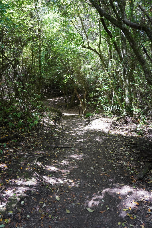
That's a shame. Might as well go for a little walk in the woods anyway.
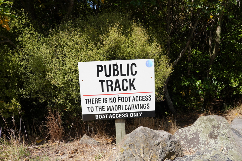
Nice track down to the lake
The sailboat had lots of people relaxing on board, I bet they were coming back from the Maori carvings.
What a spectacular view.
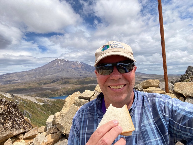
And an even better picnic place (that's the last of the Best Ugly Bagels until I return to Auckland in March)
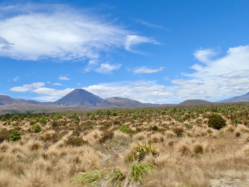
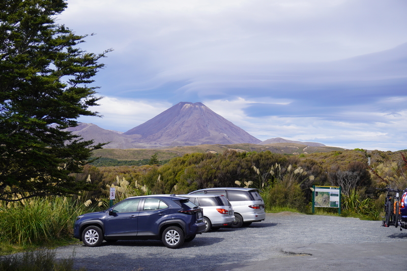
Heading down to National Park Village I get a preview of tomorrow's hike with a view of Mount Ngauruhoe
Meet up with Michelle (she gave me Mike Hyde's book; Twisting Throttle), Julie and Dene
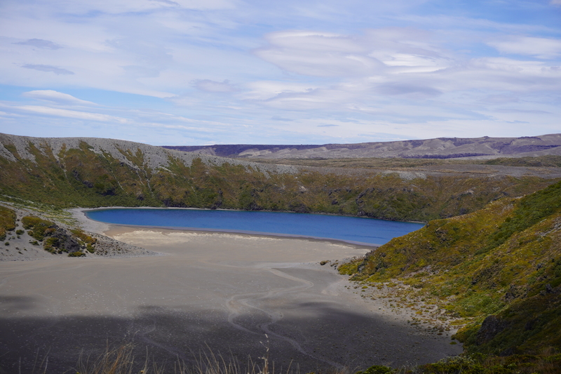
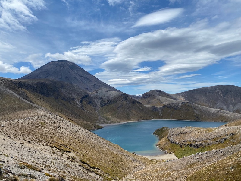
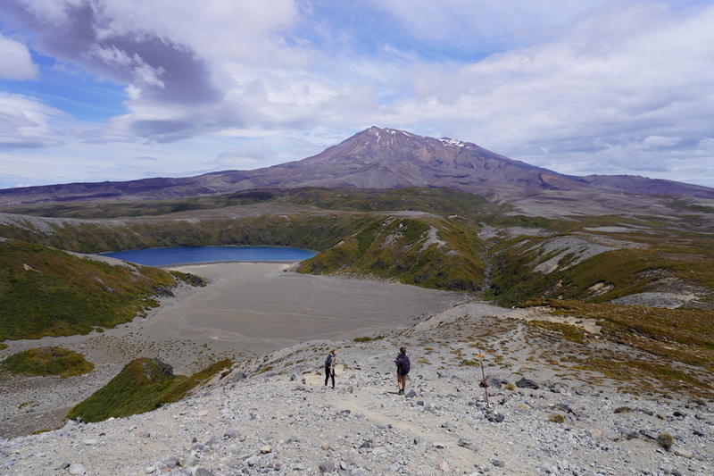
January 29 – Tūrangi (hiking in Tongariro National Park)
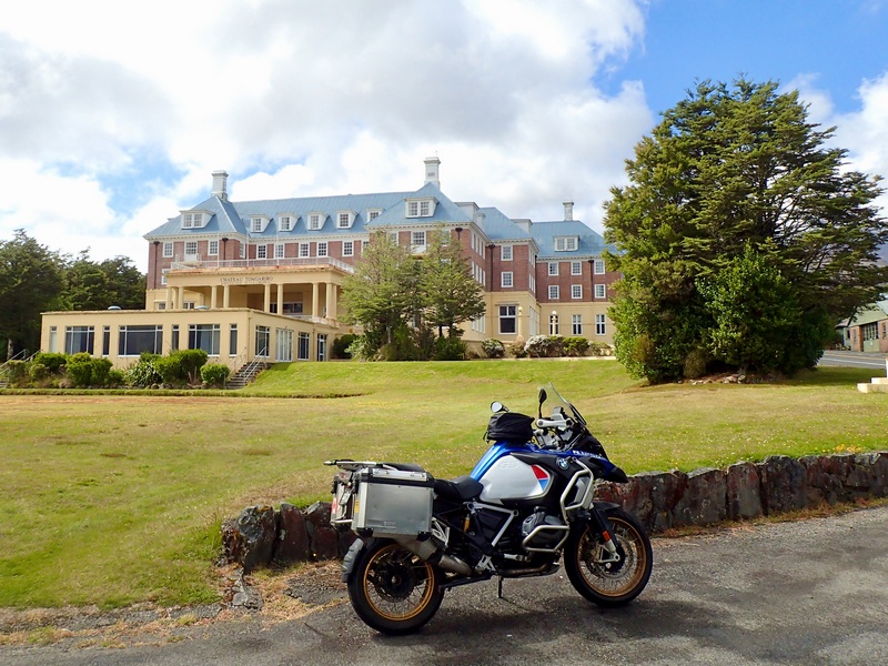
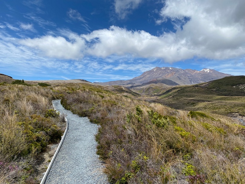
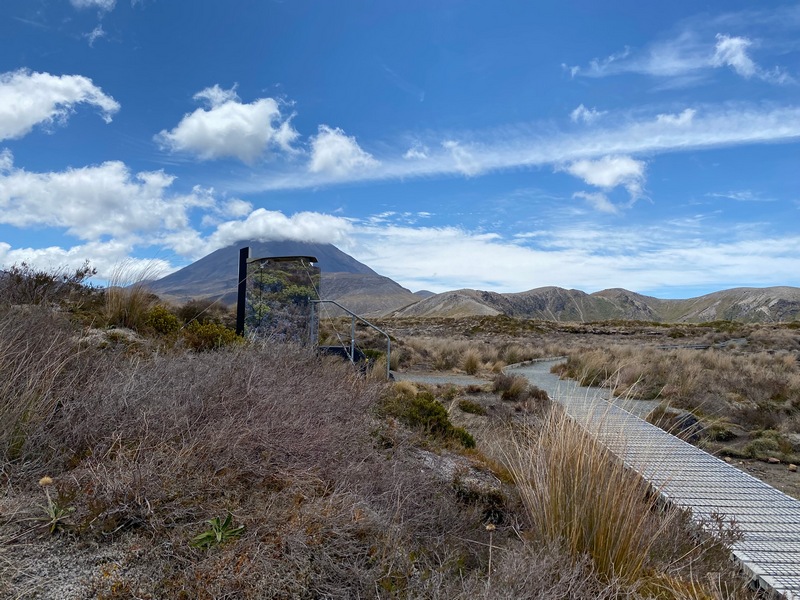
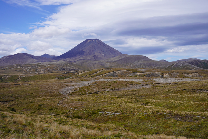
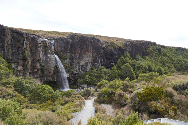
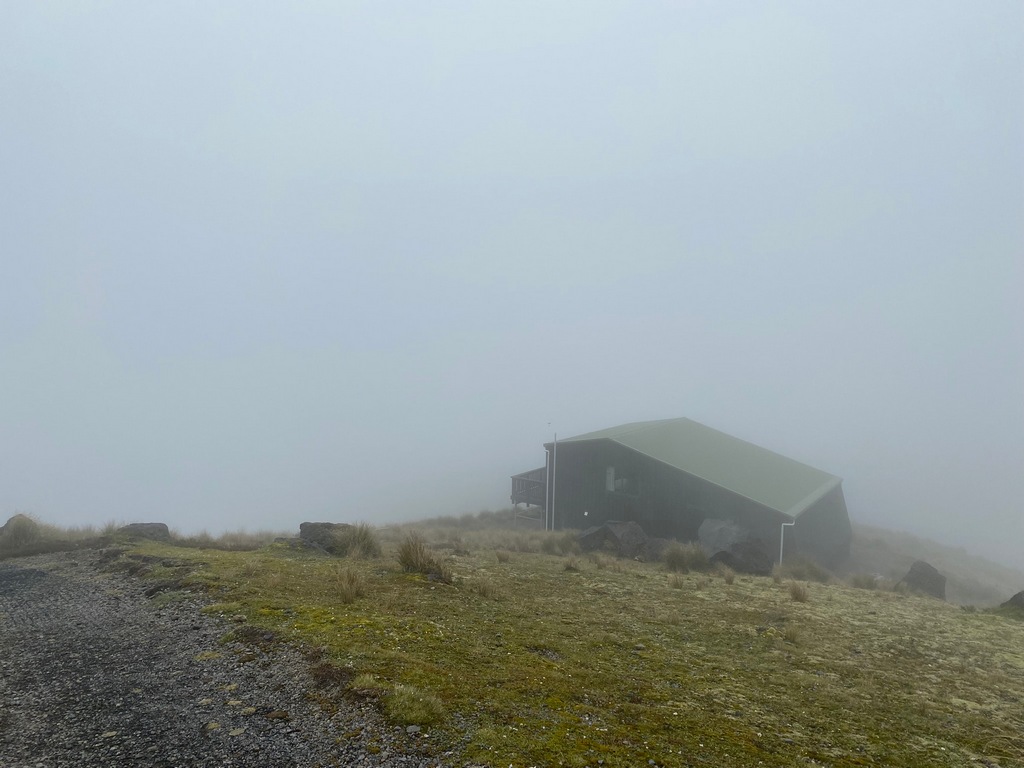
Judging by how sore I am, maybe I should be a little less ambitious with my NZ day hikes. I rode 45 kilometres to the trailhead at Whakapapa Village in a light rain and hoped it would clear up when I got there. It did, and I tramped to the Tama Lakes in Tongariro National Park. Return, the trek is about 18 km and it took me 5 hours and 20 minutes. But it is so nice to get out for hike. You may recognize the perfectly conical mountain in the photos, it is Mount Ngauruhoe, but played a starring role in Lord of the Rings as Mount Doom. I got back to the bike at about 5:00 PM and rode the 45 kilometres back to Tūrangi (no rain) where I showered up and then walked over to a restaurant for supper.Chateau Tongariro, built in 1929 but closed in 2023 due to seismic risk, would have been perfect for afternoon tea after the hike
Still fresh and starting to hike
Mount Ruapehu
I love the camouflage toilet
Mount Ngauruhoe, also known as Mount Doom from Lord of the Rings
At the Lower Tama Lake
Upper Tama Lake below Mount Ngauruhoe
Lunch time in the shelter of a low rock wall
Coming back down to the Lower Tama Lake
Coming back down the other side I get to see Taranaki Falls
Taranaki Falls

It was so cloudy in the morning that I didn't realise the best view of Mount Ngauruhoe was from the car park
A sight for sore feet
The distance doesn't seem right (even considering I walked for dinner) but I sure felt every one of those steps and floors

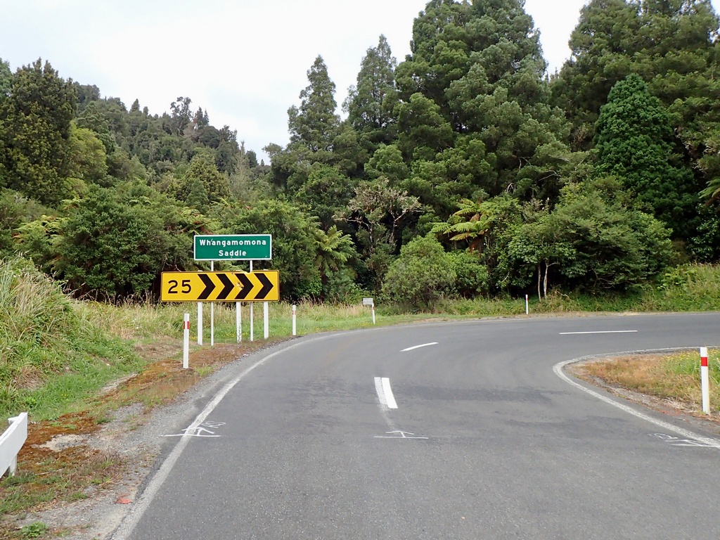
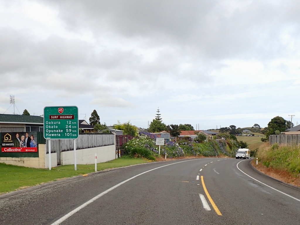
January 30 - Tūrangi to New Plymouth
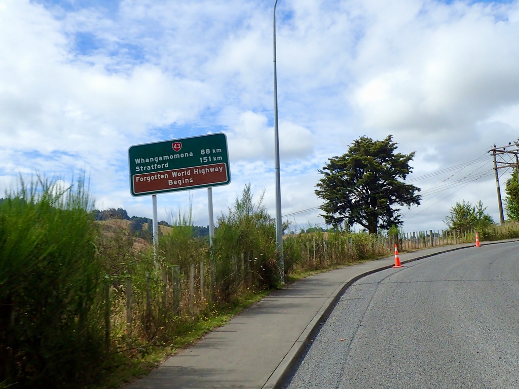
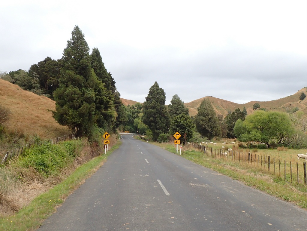
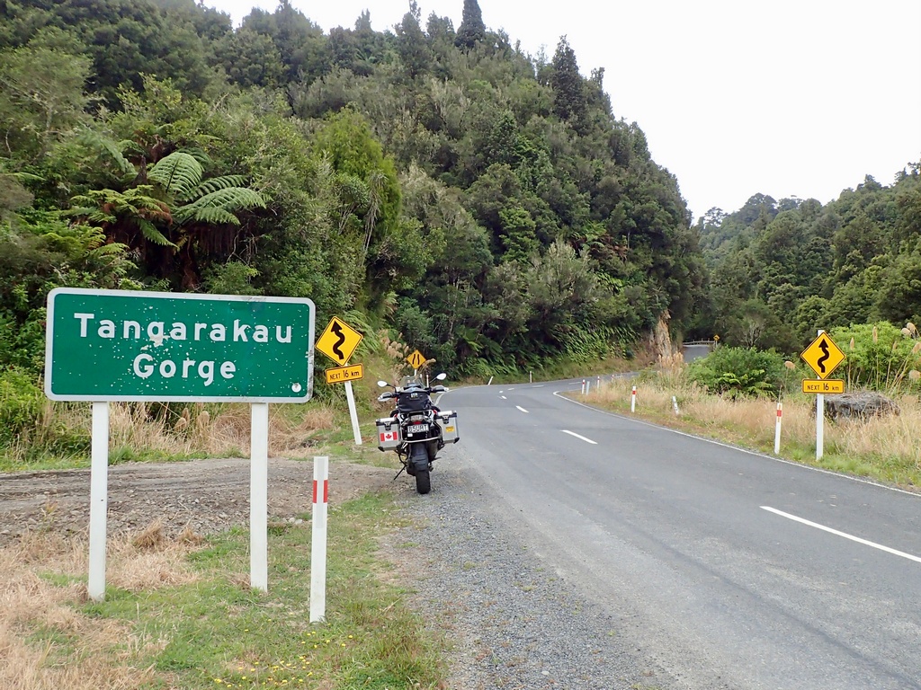
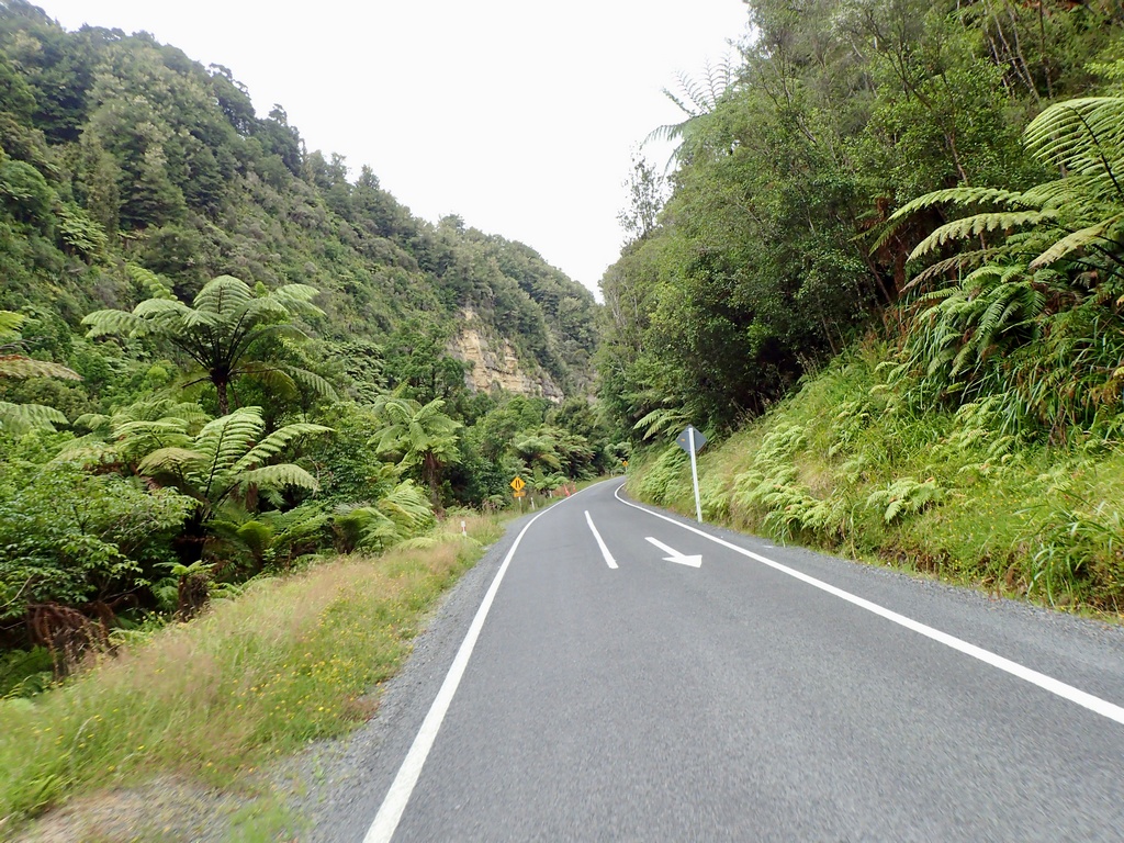
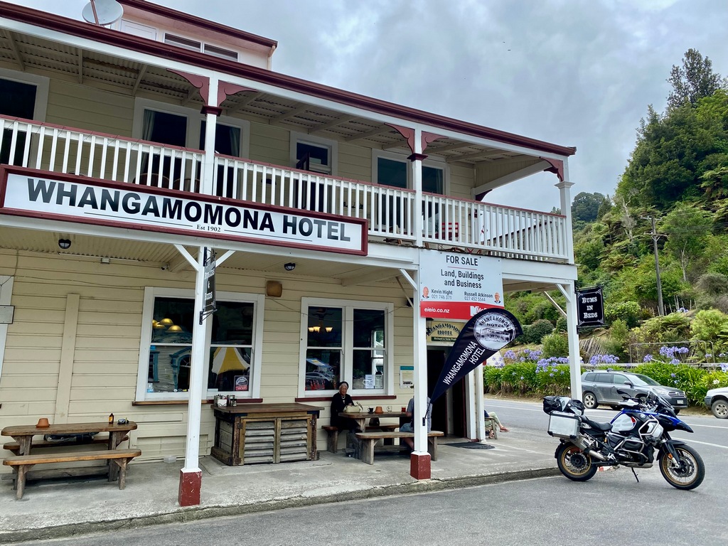
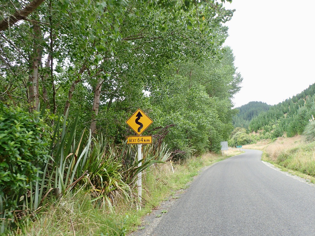
The Forgotten World Highway. Just the name was enough to make me want to ride it. Leaving Tūrangi I rode to Taumarunui to start the 150 kilometre road. I like how it started with open ranch land and then changed to thick jungle, reminding me of Jurassic Park, as I went west. The narrow Moki tunnel built in 1936, in the Tangarakau Gorge, was one of the highlights of the ride. Soon I was in the Republic of Whangamomona and its famous hotel where I chatted with a couple of locals as soon as I had my helmet off. Inside I ordered the boerderse sausage and went back out to have a chat with a couple of riders on rented Triumphs. They were from the UK on a three-week trip to New Zealand and had come up the FWH from Stratford while I had come down from Taumarunui. After the delicious farmer's sausage, I continued west, crossing a few “saddles” where the road became even more entertaining, to Stratford. Here I joined the main road to New Plymouth where the Metrotel Hotel was waiting for me.43 kilometres to the start of the Forgotten World Highway
And so it begins
Open sheep ranching country
Now the fun begins
Lush vegetation reminds me of Jurassic Park
The Moki Tunnel built in 1936
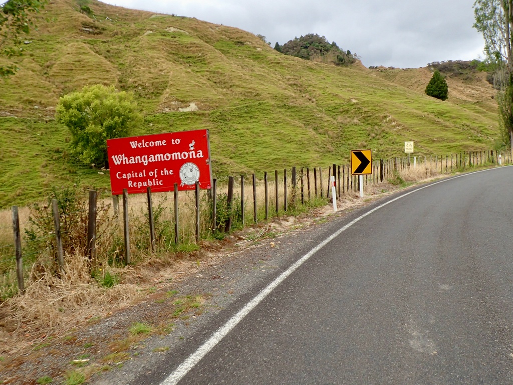
Welcome to the Republic
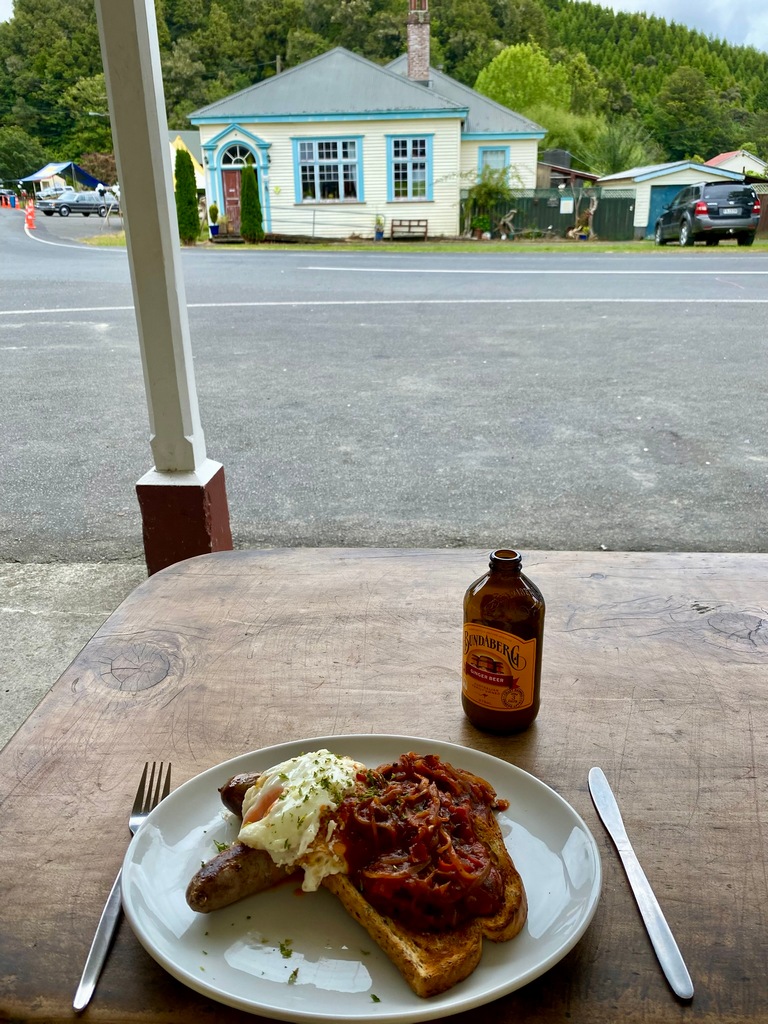
Chat with locals outside before ordering lunch
Lekker!
The Whangamomona Saddle begins with a switchback and the fun just continues after that
Entering New Plymouth
A stroll along the seashore
The sculpture is called "The Girls"
The Forgotten World Highway
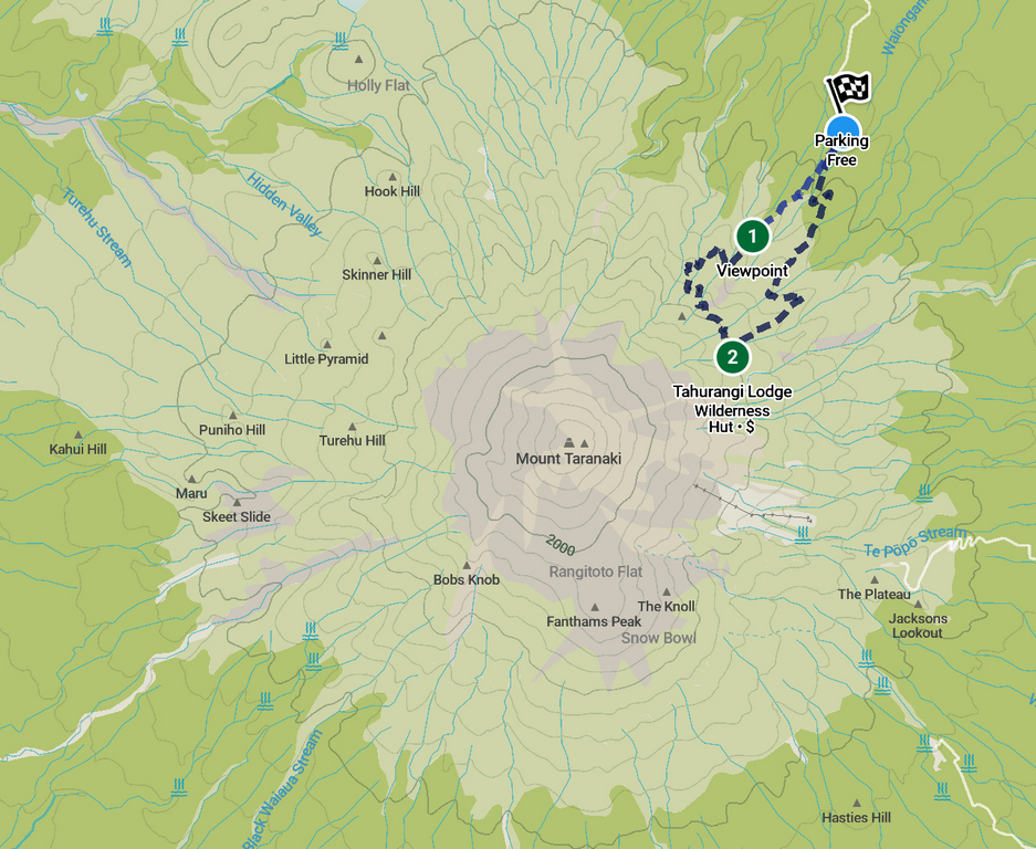
January 31 – New Plymouth
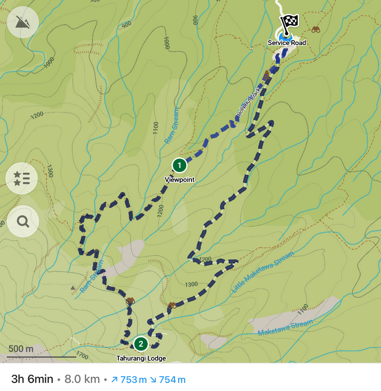
In the spirit of not going overboard with my NZ day hikes I decided to do a shorter hike. Only 8 kilometres round trip up the side of Mt. Taranaki. OK, 750 metres elevation might have been a bit much. Going up the Holly Hut Track it was stairs. A lot of stairs. And the whole hike up and down from Tahurangi Hut was in the clouds, so none of the promised spectacular views. Oh well, it was good exercise. Back down in New Plymouth I thought it would be neat to walk to Te Rewa Rewa bridge, a really iconic structure with a view of the volcano I had just climbed. So that added 9 kilometres to my total for the day. Thank goodness the clouds had cleared from Mt. Taranaki so that the walk was worth it.Ride to the trailhead at North Egmont
Let's go!
Hey a few stairs
And some more stairs
And it just keeps going, but apparently it is more dangerous now
A section without stairs as the clouds lift for a moment and you can see the track cutting up the mountain
Oh good, some more stairs
My lunch spot at Tahurangi Lodge (closed)
Yum
Down is via an access road, so no stairs
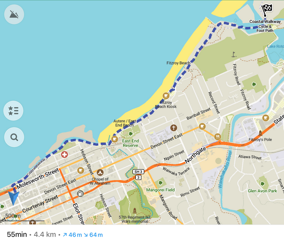
Back in New Plymouth I head out for a walk along the seawall
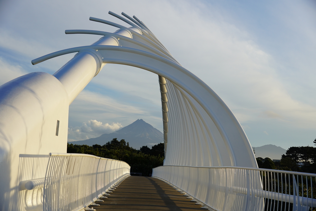
4.5 kilometres to the Te Rewa Rewa bridge, lovely in the setting sun
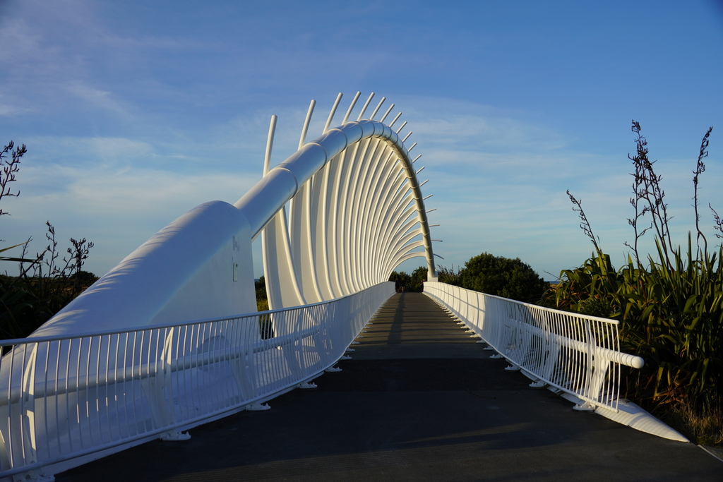
From the other direction it frames Mt. Taranaki perfectly
The hike up the volcano
Perspective on the whole volcano
A nice walk to Te Rewa Rewa adds 9 km to my total for the day
February 1 - New Plymouth to Palmerston North
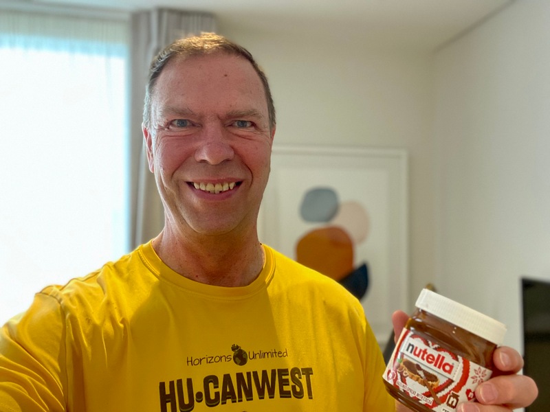
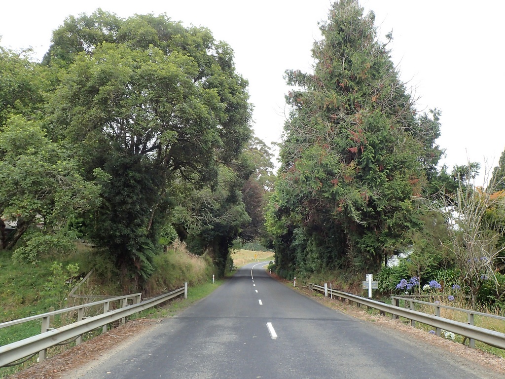
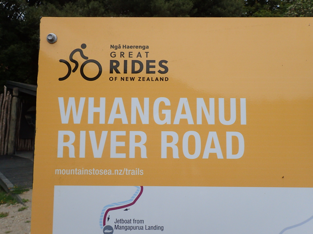
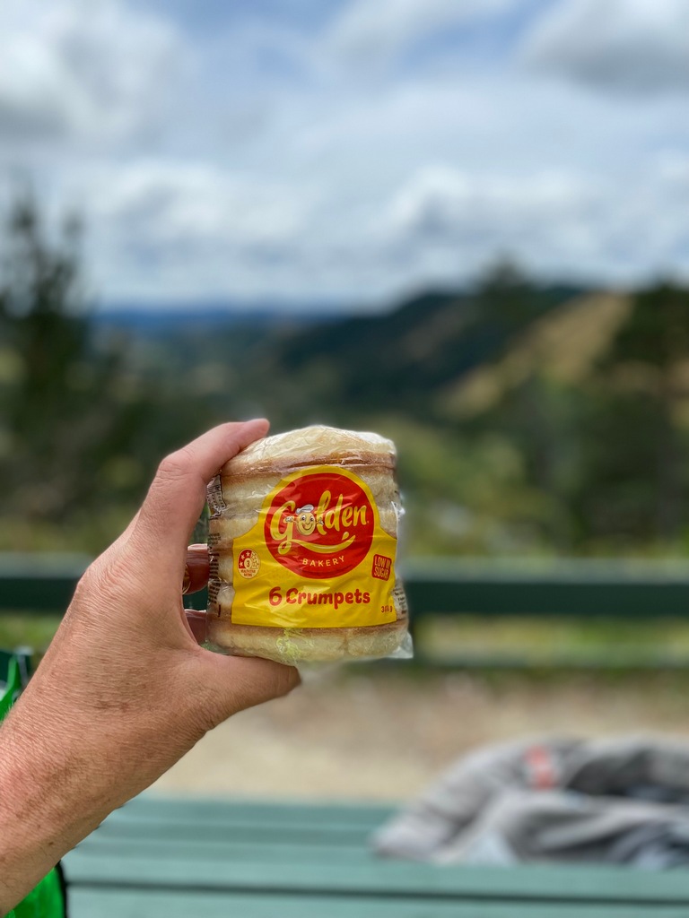
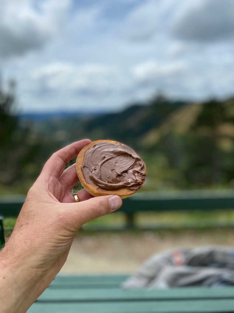
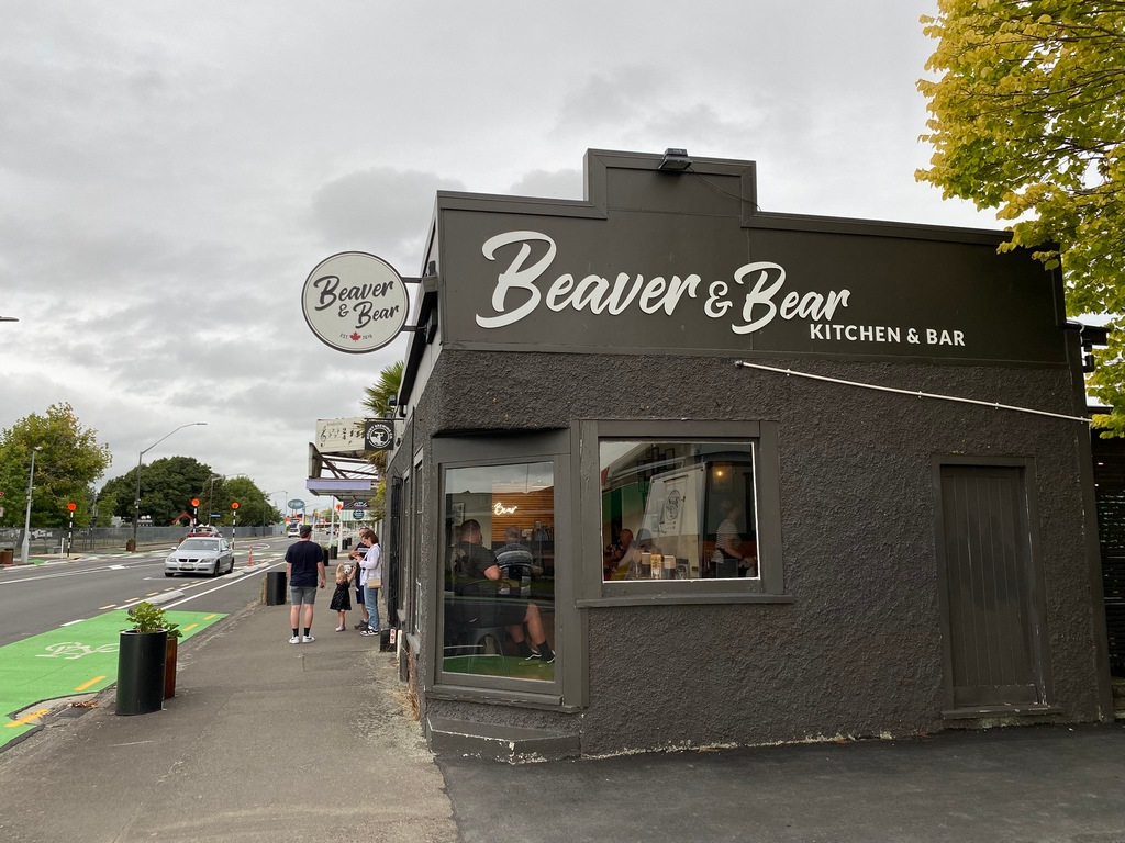
Thanks to Sagi, the previous owner of my motorbike, for suggesting the Whanganui River Road! I had thought of going straight to Wellington from New Plymouth but once I looked up his suggestion I changed my plans. I tried to find a place to stay in Whanganui but there was nothing available (world championship jet boat racing!) so decided to go to Palmerston North and just do an up and down on the River Road. I left New Plymouth and rode along the ocean so that I was circumnavigating Mt. Taranaki. Near the start of the Whanganui River Road was a perfect picnic spot for lunch (crumpets with Nutella!). The Whanganui River holds a special place in Māori history and was conferred person status in 2017. Apparently, there was a steamboat service all the way up to Taumarunui (start of the Forgotten World Highway) that started in 1892. I rode about 50 km upstream on the fun road next to the river and stopped at Jerusalem. I turned around here and rode back down so I could make it to Palmerston North by dinner time. Once I checked into the motel, I looked on Google Maps for a nearby restaurant and found the Beaver & Bear. That didn’t sound especially New Zealandish. Nope, Canadiana. A Calgarian burger with a side of poutine please…Leaving New Plymouth
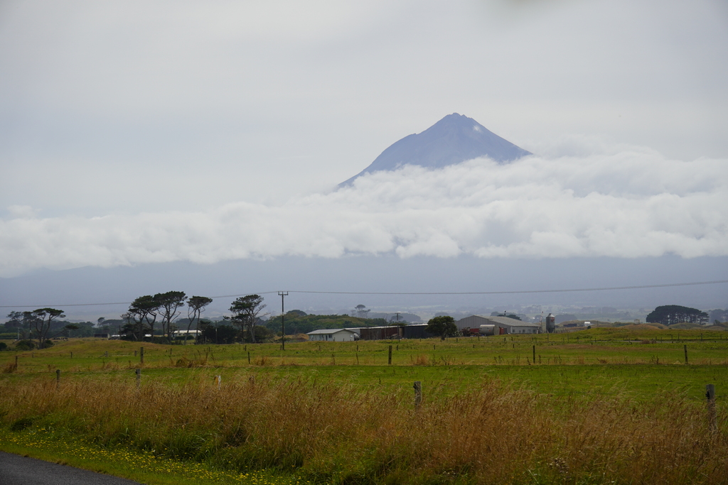
Starting my circumnavigation of Mt. Taranaki

Mt. Taranaki
I have seen a few wrecked cars in the ditch. I wonder if they leave them there for a while as a reminder to other motorists?
Yes!
64 kilometres of twisting road? Yes!
But first, a picnic. I couldn't imagine a more perfect place for a picnic.

I wonder if crumpets go with Nutella?
Why yes, they do.
OK, let's ride
Turn around at Jerusalem, about 50 km up the road
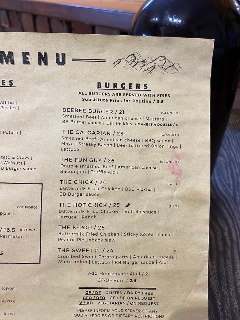
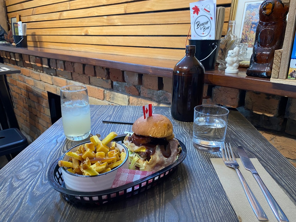
Dinner in Palmerston North is at the Beaver & Bear. A Canadian restaurant!
Since I am from Calgary...
I am going to have to do a lot of hiking to work this off
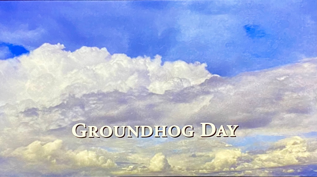
February 2 – Groundhog Day! Palmerston North to Wellington
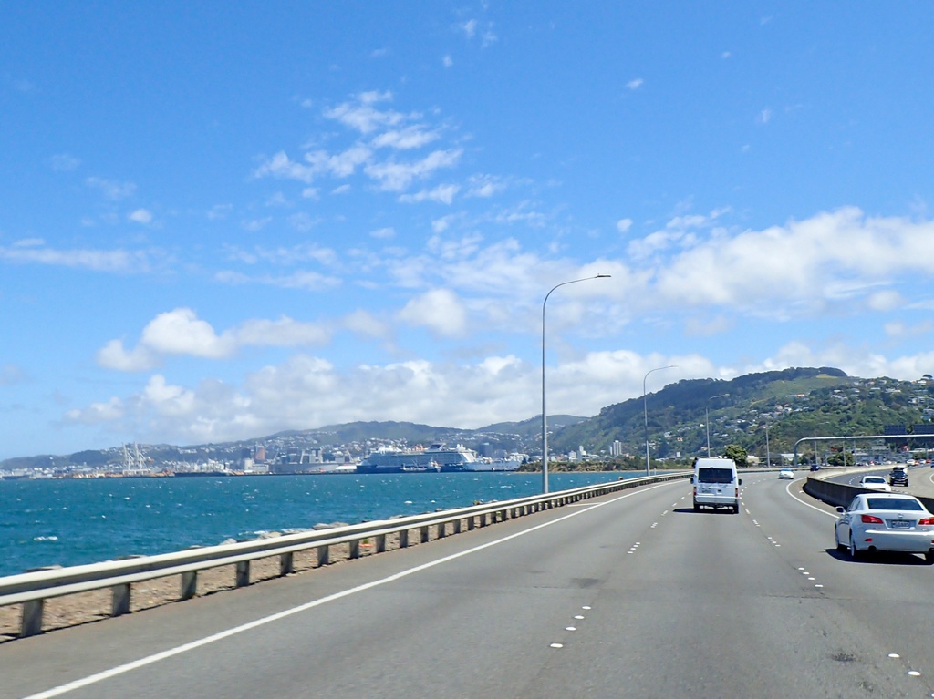
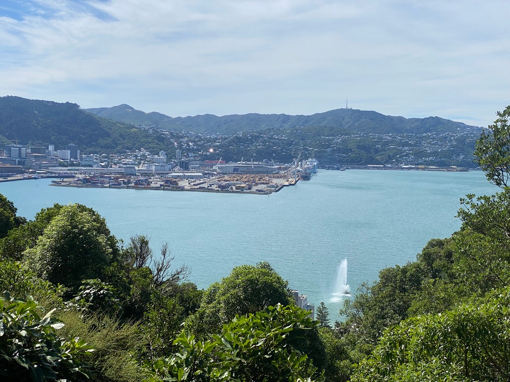
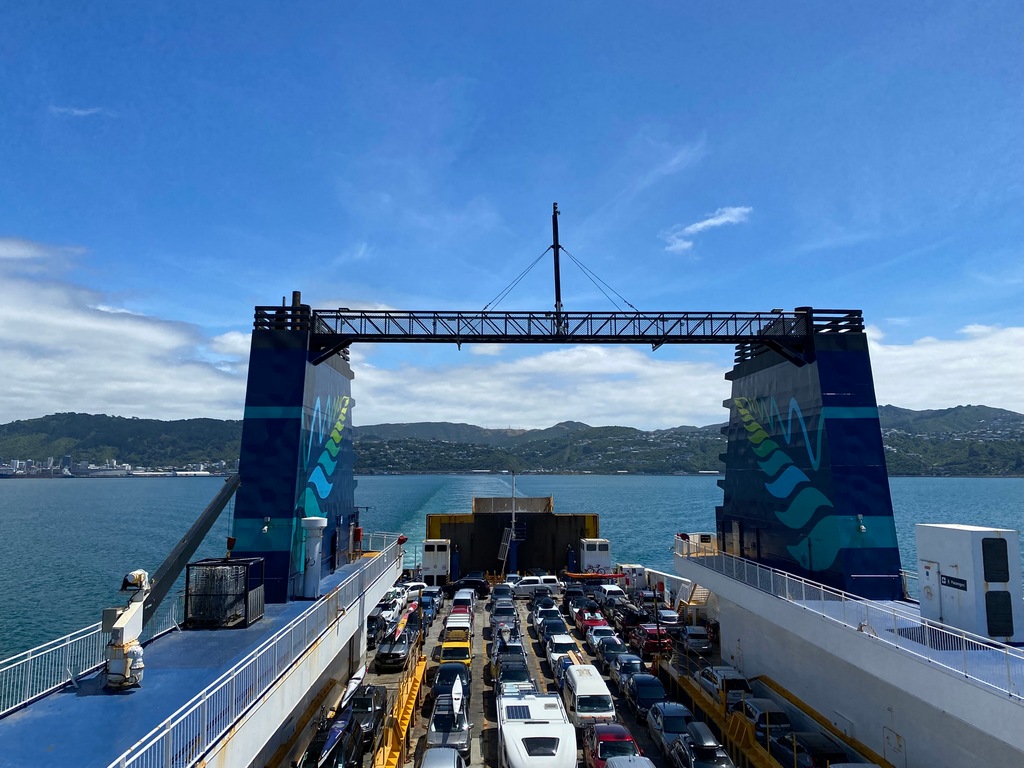
A nice Groundhog Day ride to Wellington. I could have zipped down the 2 and been there in a bit over an hour but what would be the fun in that? So I took a smattering of local roads until I connected with Highway 52 (mentioned in Twisting Throttle) to Masterton. I expected a numbered highway to have higher traffic volumes but it wasn’t until Highway 2 that it was busy with Groundhog Day traffic. Even though it was nose to tail traffic going over the Remutaka Pass it was still fun. Lots of motorcycles out too. Then it was the first view of Wellington (well, what you could see of it behind an enormous cruise ship) where I will spend a few days. I am catching the ferry to the South Island on Wednesday.I love it when the local transport authority tells you that you will be having fun!
Yes, it was windy
Lovely riding on small local roads
No traffic to speak of
Small one-lane bridges
Caught this layby at the last second and had to ride up the exit
Lunch in the layby right beside the busy Highway 2
Wellington! Behind the cruise ship...
The parking garage at my hotel in downtown Wellington
Up she goes!
Time for the annual traditional movie
February 3 and 4 – Wellington
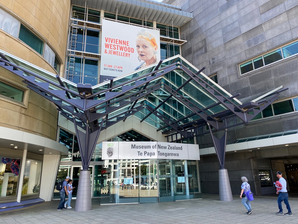
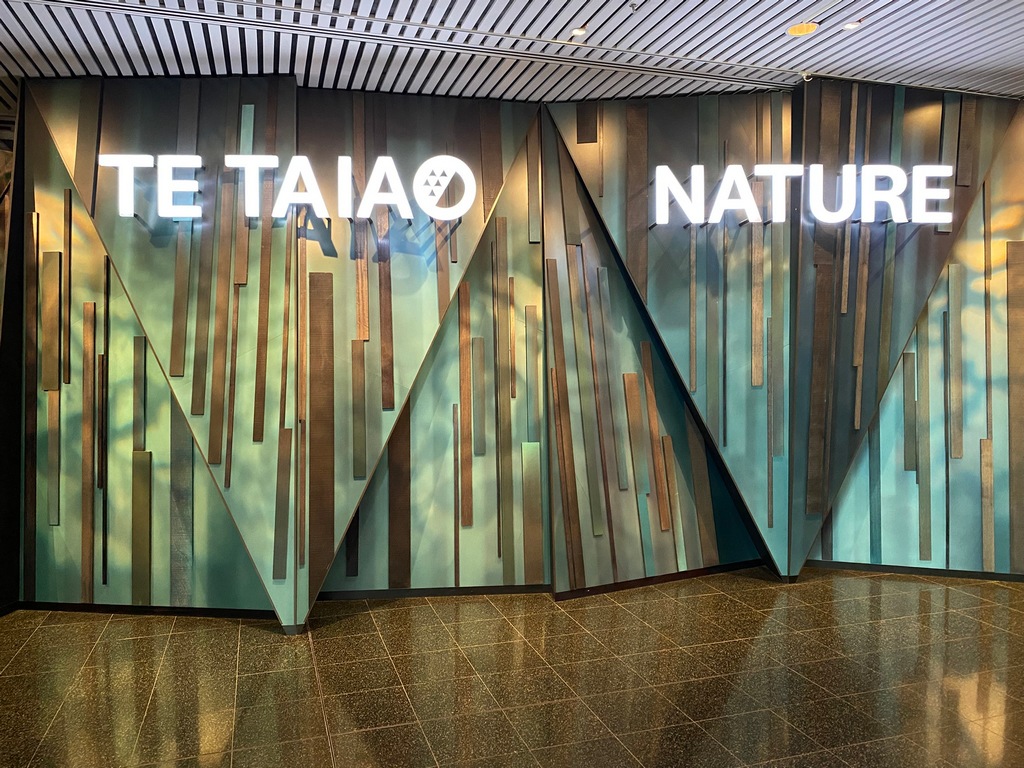
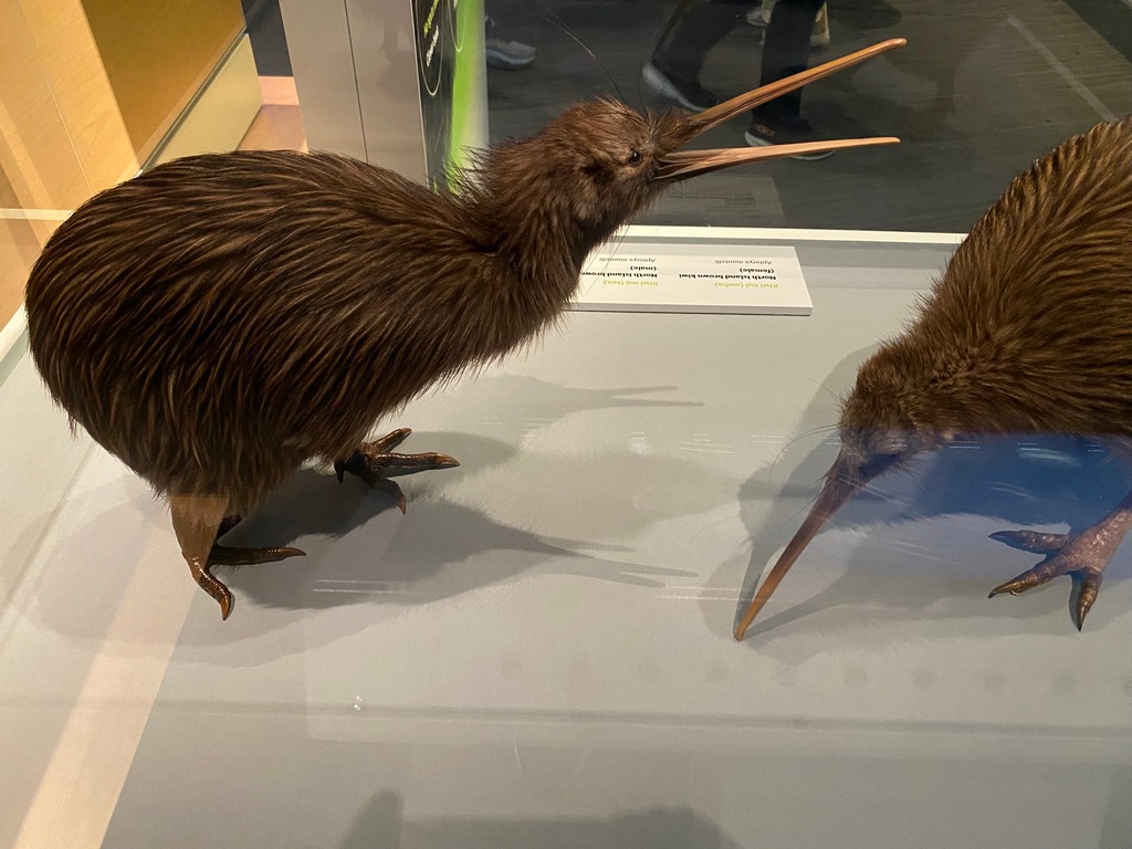
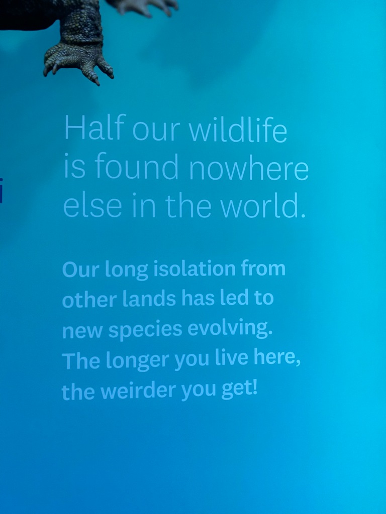
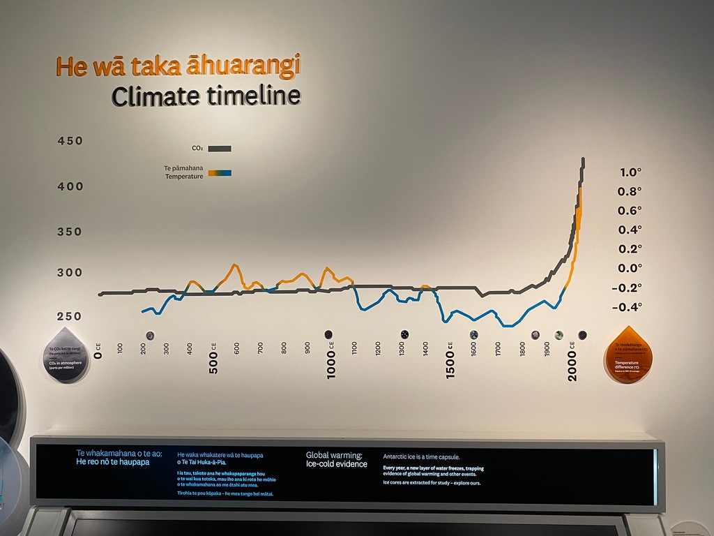
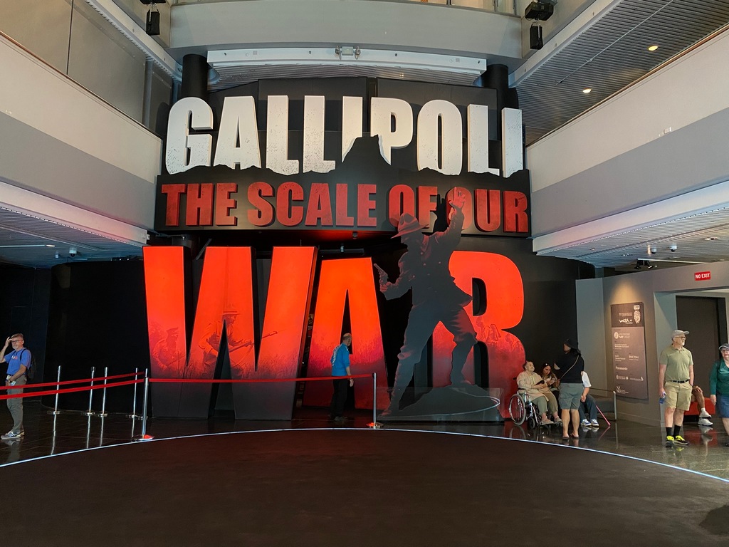
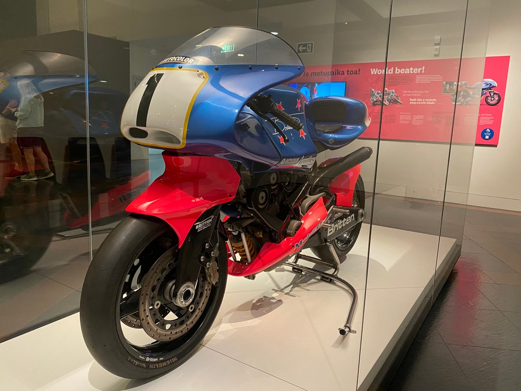
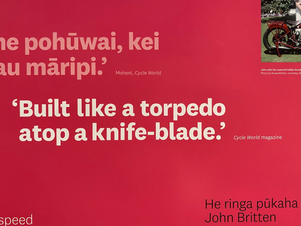
I have had a lovely couple of days in Wellington. I was really looking forward to visiting Te Papa, the National Museum, and I was not disappointed. Two of the exhibitions really stood out; the Nature exhibit covering New Zealand flora and fauna as well as geology and climate change was simply world class. The second exhibit that really stood out was Gallipoli, the story of New Zealand's involvement in the First World War. I have to say though, the highlight of the museum for me was the Britten motorcycle, what an amazing work of original thinking and engineering. I climbed up to the Mt. Victoria lookout after the museum and while there I saw someone ride by on an Energica motorcycle. I have been interested in these electric motorbikes for a while and had joined an Energica forum on Facebook. Later at a coffee shop I posted on the forum (an international forum with a world-wide membership) if anyone in the group was at Mt. Victoria. Sure enough, Simon responded (one of 8 Energica owners in NZ) that it was him and we arranged to meet for lunch the next day. To me, this is really what Facebook is fantastic for, connecting people. Speaking of connecting with people, Gareth and Helen rode through Africa at about the same time as Audrey and me, but we never crossed paths. They live in Wellington and a mutual friend, George, whom we had both met in Africa, connected us. We met for a quick coffee and then they invited me over for dinner the next day. What wonderful stories we shared of our time in Africa! And what a great way to finish the south of the North Island, next I take the ferry to the South Island and stay with George for a few days before heading further south.The National Museum of New Zealand
One of two really excellent exhibitions
Kiwi birds

Good to know
A sobering graph of CO2 and Temperature
This exhibition was also absolutely excellent
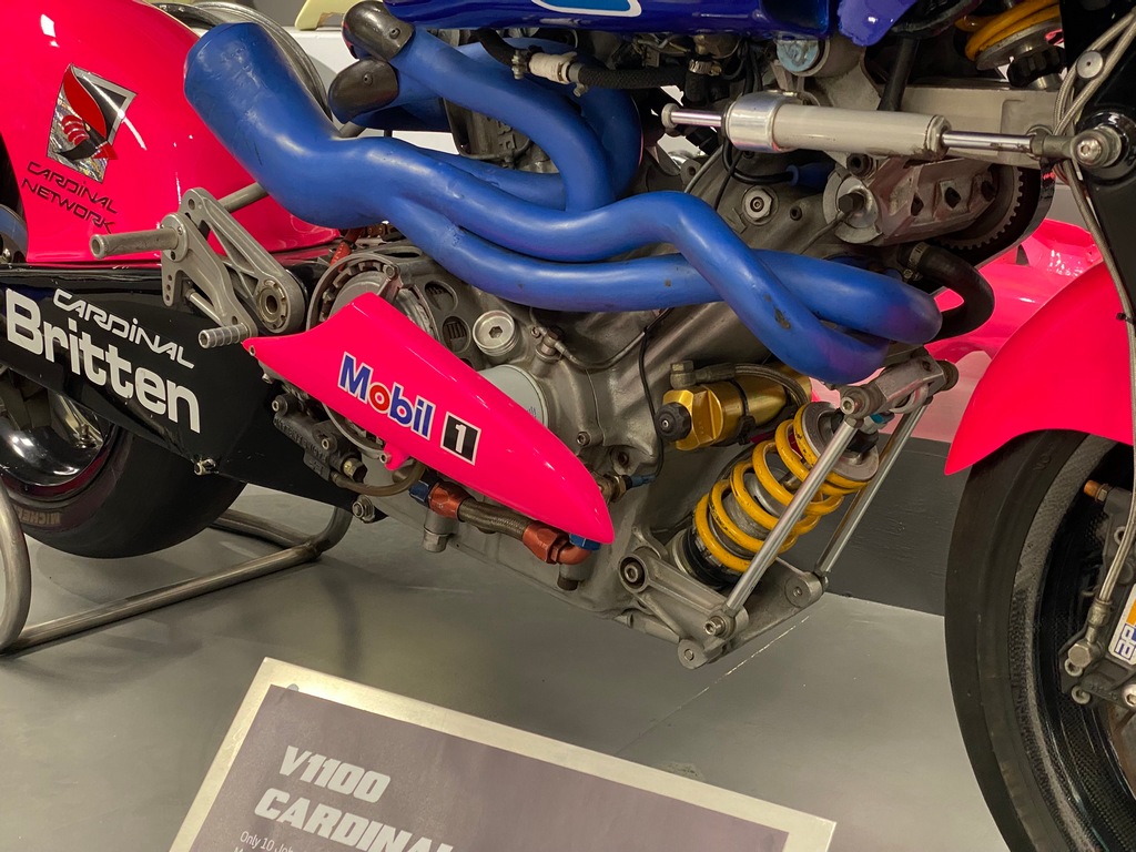
The Britten V1000
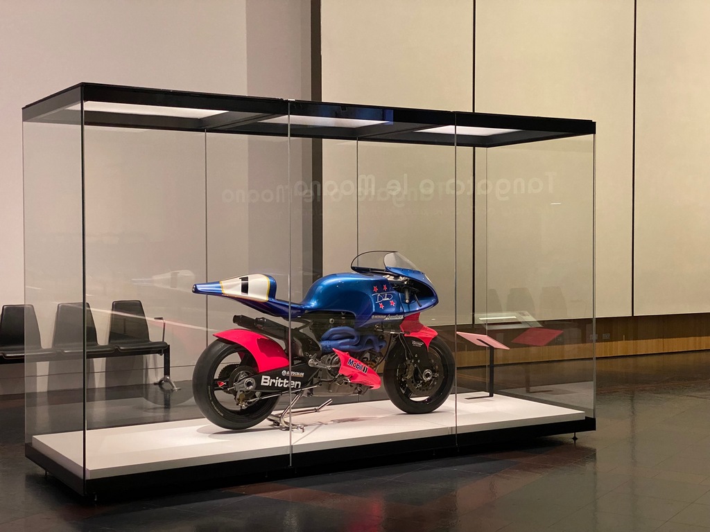
What an amazing work of engineering
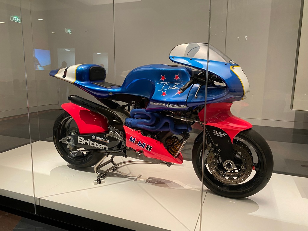
The shock absorber under the front of the engine is for the rear wheel
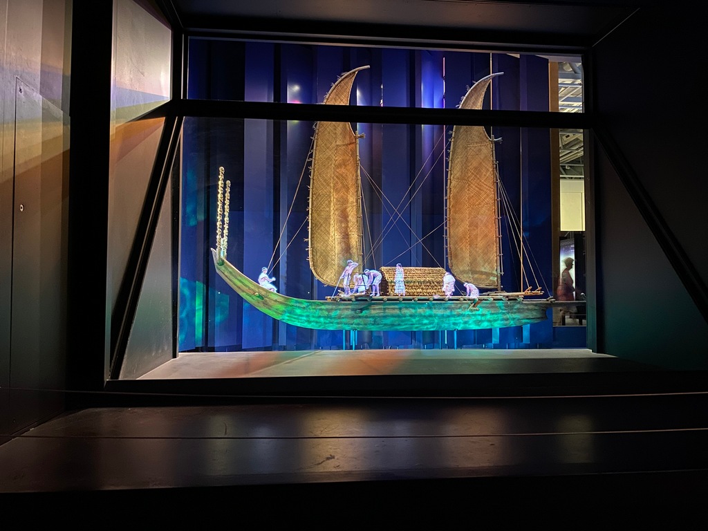
Holographic images on a scale sailboat told the stories of sailing the Pacific
Wandering through neighbourhoods in Wellington on the way to Mt. Victoria
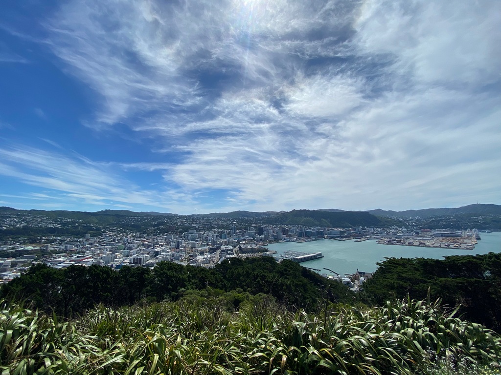
The view of Wellington from the top of Mt. Victoria
The Carter Fountain is Wellington's Jet d'Eau
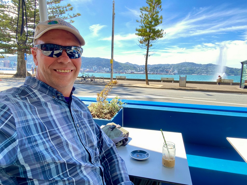
Iced coffee on Oriental Parade
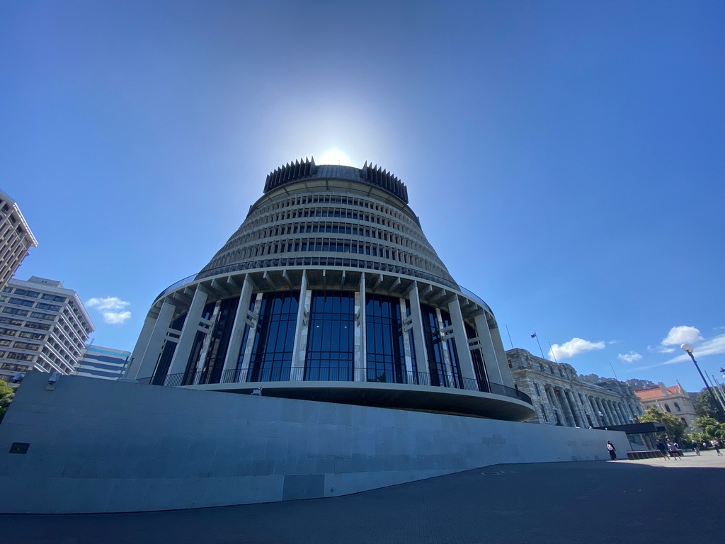
New Zealand's parliament buildings
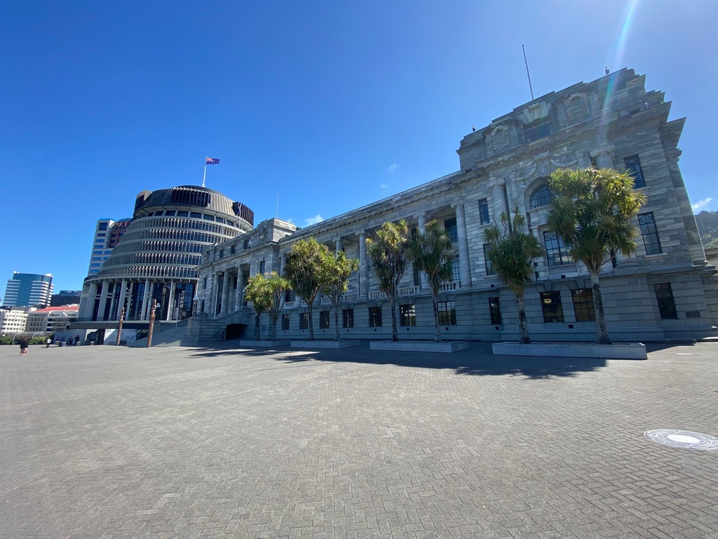
The Beehive, the executive wing of parliament
With Helen and Gareth, who had travelled the length of Africa at about the same as Audrey and I did
Tracks for Chapter 2
Link to Chapter 3: North and West Coast of South Island
Chapter 3: North and West Coast of South Island
February 5 and 6 – Wellington to Nelson
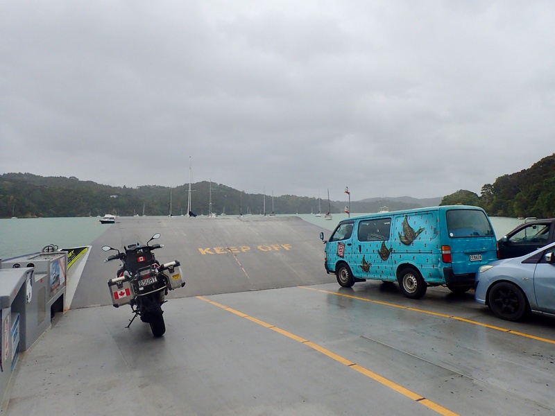
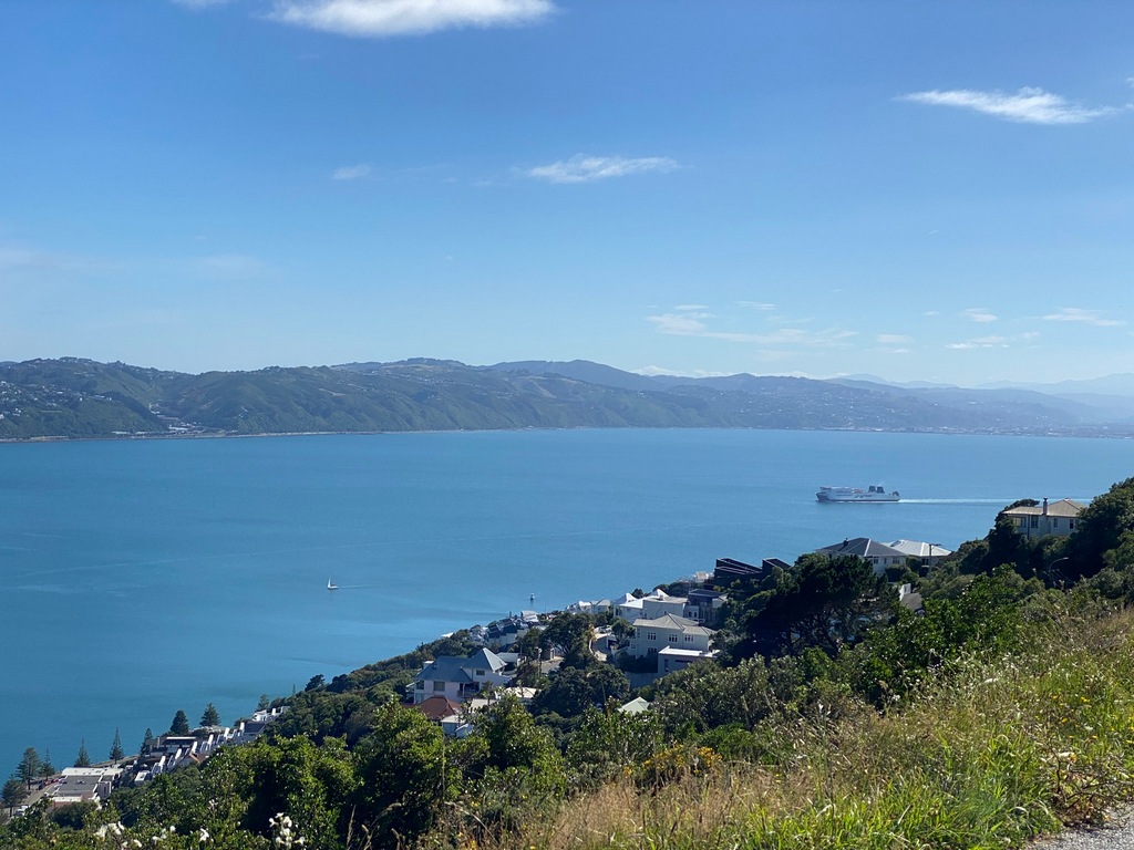
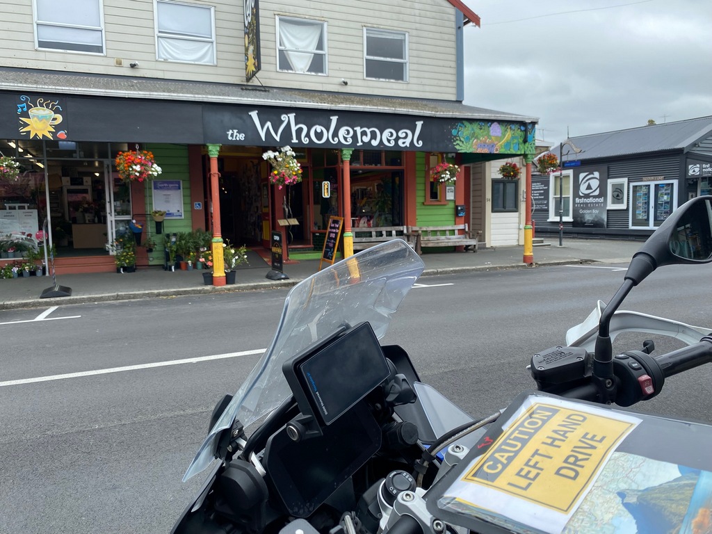
On Wednesday I took the afternoon ferry across the Cook Straight from Wellington to Picton on the South Island. It was a lovely, calm crossing and I met George Guille at a café in Picton. Audrey and I had met George in Ethiopia in 2008 and crossed the equator together. Last time I saw him was in Nairobi almost exactly 17 years ago. We rode over some twisty roads to Nelson where I got to meet his partner Kat and their 4.5-month-old daughter, Adele. They invited me to stay for a few nights while we explored the area. On Thursday George took out his classic Africa Twin and we rode north to Tākaka for lunch at the Wholemeal Café. After lunch we rode up to Cape Farewell and then a few kilometres of gravel took us to Wharariki Beach. The rocks offshore are famous for being part of the default Windows background at start up. This is the farthest north one can ride on the South Island.Bike elevator in the parking garage after checking out of the hotel in Wellington
I can see my ferry coming in from Mt. Victoria
Preparing to load with the other bikers
Steaming out of Wellington
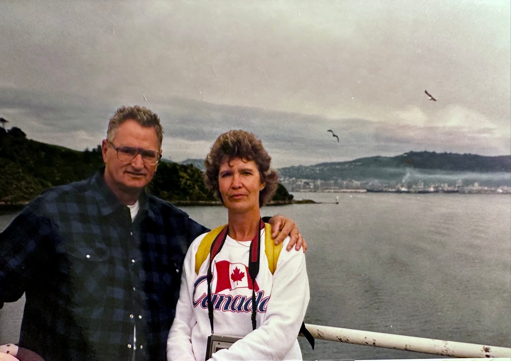
My parents doing the same crossing in 1989
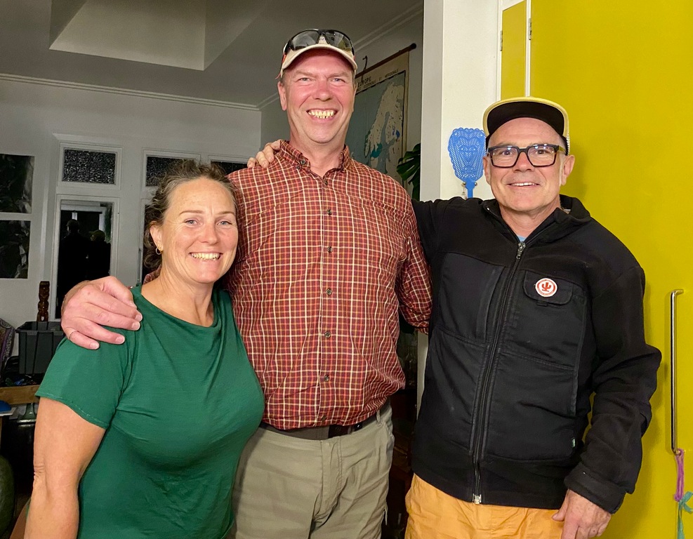
Meet George Guille in Picton. It's been almost exactly 17 years!
Nice back roads from Picton to Nelson
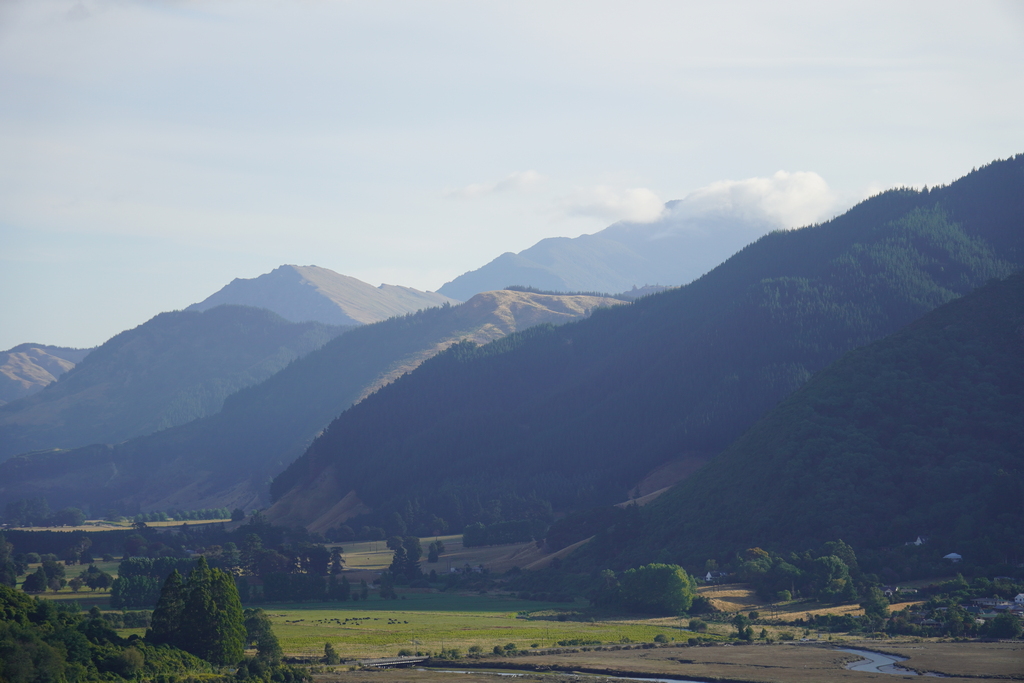
Already can see some of the Southern Alps
The next day, February 6, we head north from Nelson
February 6 is Waitangi Day (Treaty Signing Day) and a national holiday
Hey! Traveland RV in Airdrie? Cool!

Arrival in Tākaka (is it me or are main street New Zealand towns starting to look a bit similar?)
Just in time for lunch
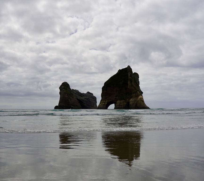
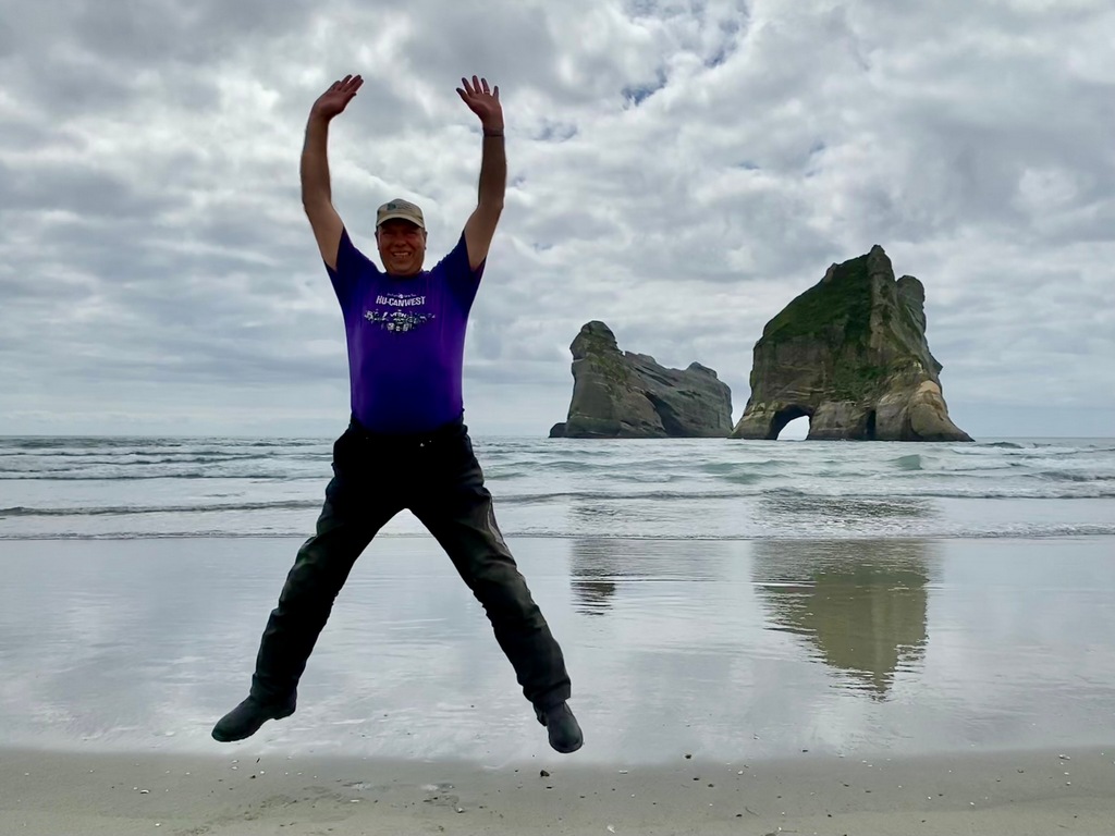
Wharariki Beach is the northern most point on the South Island

Northbound
Walking out to Cape Farewell

Arches and cliffs
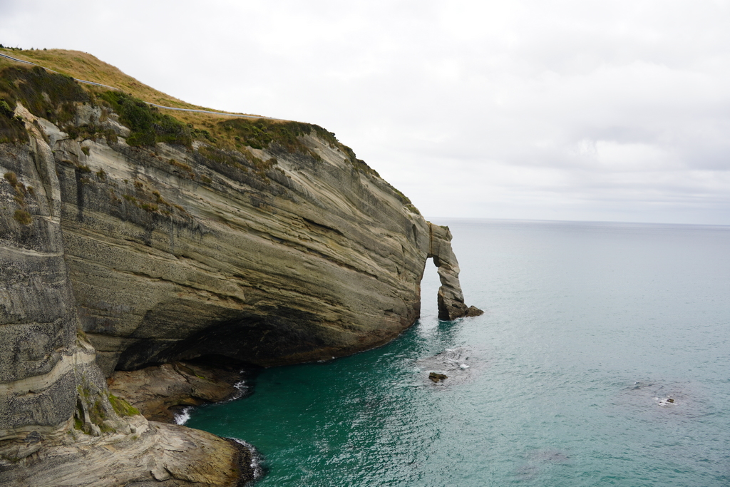
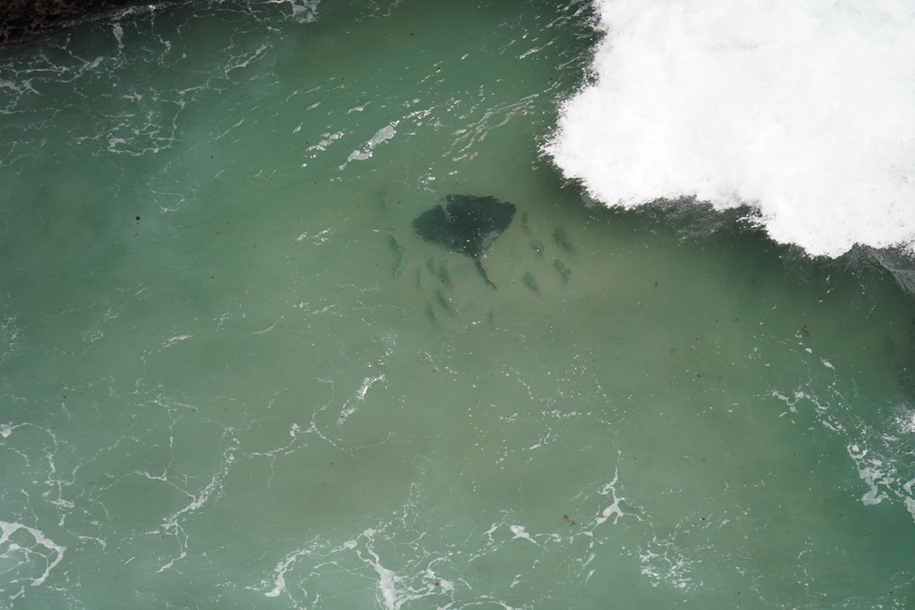
Down below a stingray is accompanied by an entourage
Walking to Wharariki Beach
This is where you play the Windows startup sound
Jumping for joy! I made it to the northernmost point on the South Island
Riding back to Nelson
The Tākaka Hill is foggy on the return
February 7 - Nelson
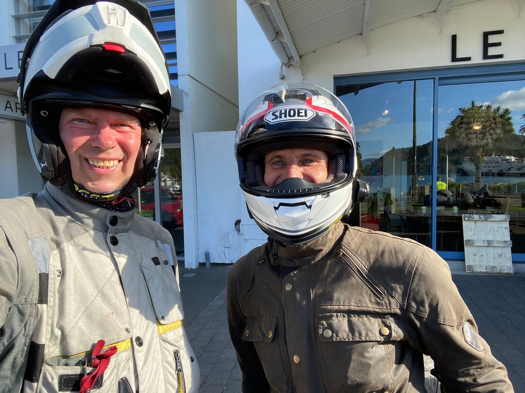
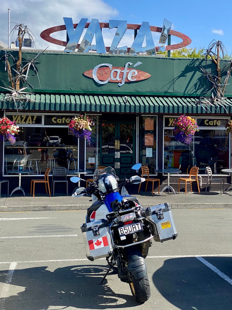
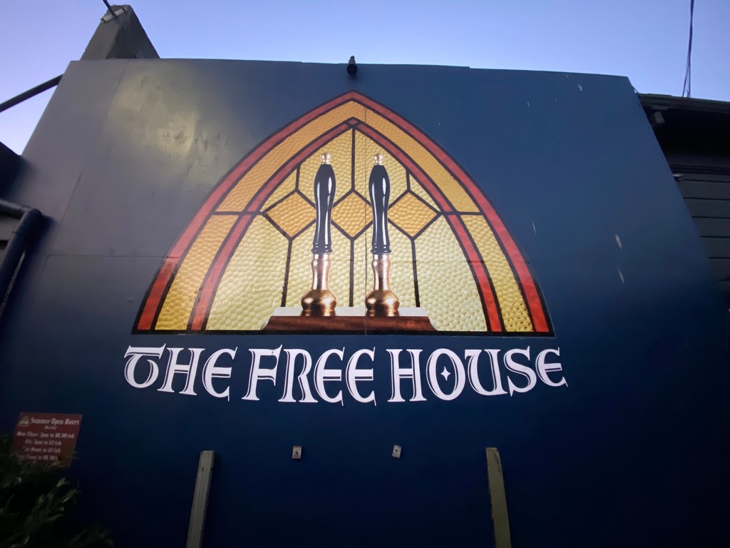
Friday was a day made for visiting. I met up with John Fitzwater again, this time with his 94-year-old mum from the UK over for a visit. I had met her by phone when John and I were riding in Mexico, and she is still as sharp as a tack. The fish & chip shop in Mapua must have accidentally doubled John's order because I could have sworn we received 10 pieces of fish, not 5. Fortunately, we still had room for an ice cream across the street at Alberta's (I should have shown my driver's licence, maybe I would have had a discount?). On the way back I popped into a carwash to give the bike its first wash and then showed it off in front of Yaza! Café while I had an iced chai latte. That evening, since Kat had gone with a friend and their two babies on a camping trip, George and I went to the Free House in Nelson for a drink and ordered in Indian food from across the street. An interesting arrangement where the pub provides the dishes and cutlery while the Indian restaurant sends over the food. I am generally good at getting photos while riding and travelling but for some reason I don't take of photos of people I am visiting. It's a shame really, because I am sure you would have liked to see John and his mum and George, Kat and Adele.A nice clean bike outside Yaza! Café
A very popular pub in Nelson
The Christ Church Cathedral in Nelson (Modernist Gothic Revival Style apparently)

A stroll down the lively Trafalgar Street
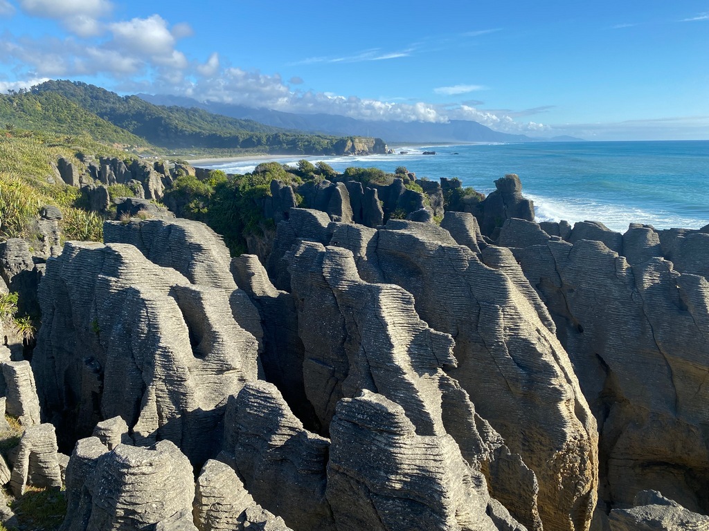
February 8 – Nelson to Punakaiki
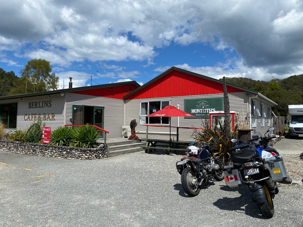
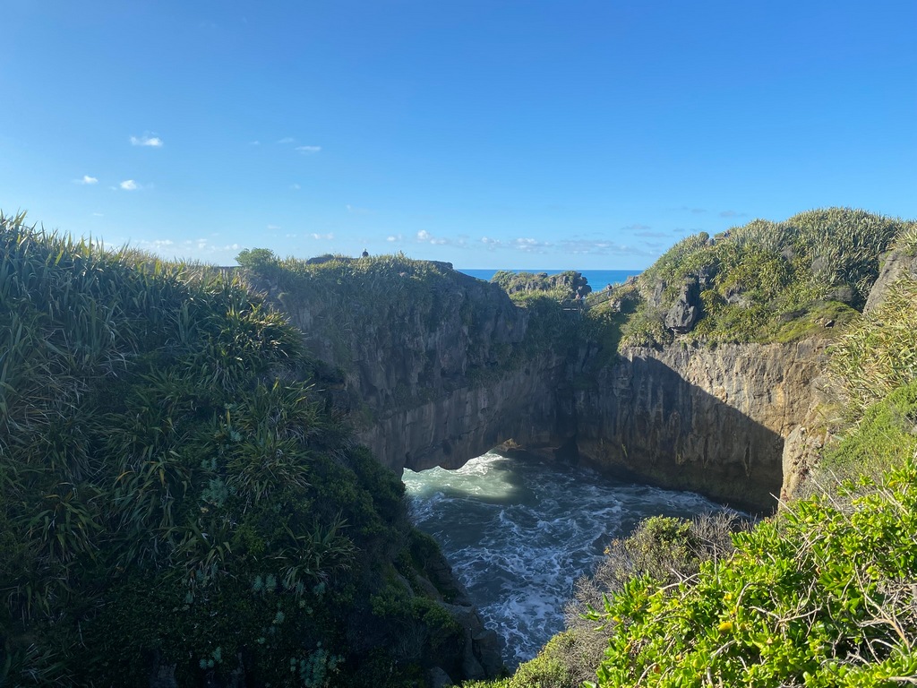
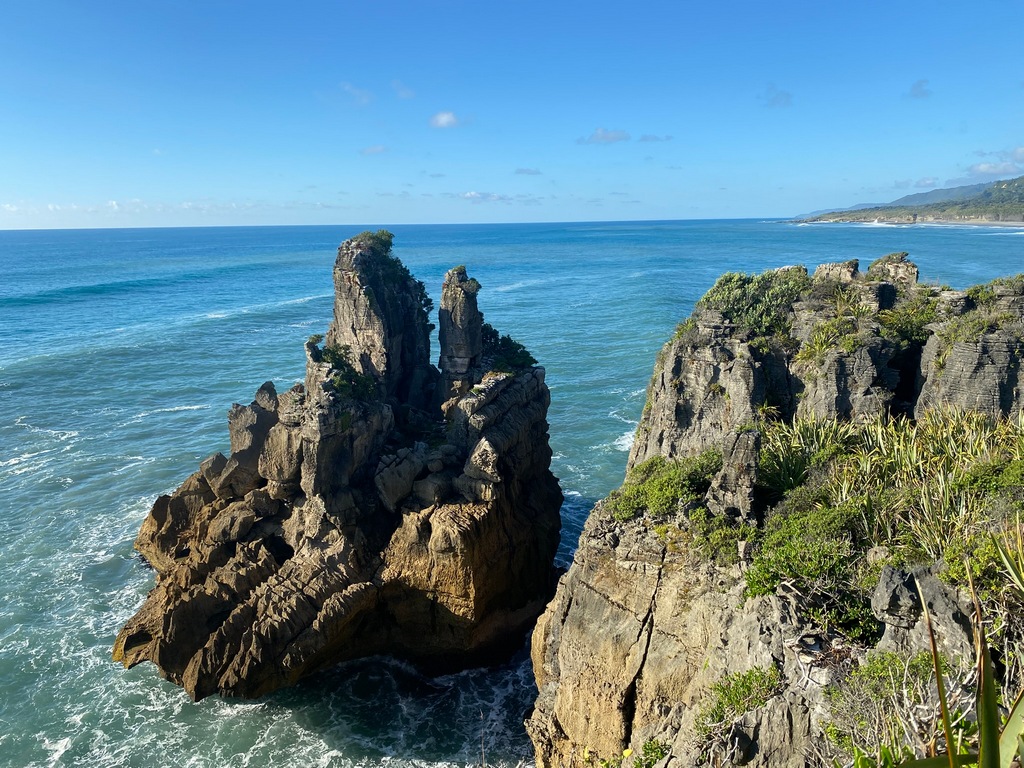
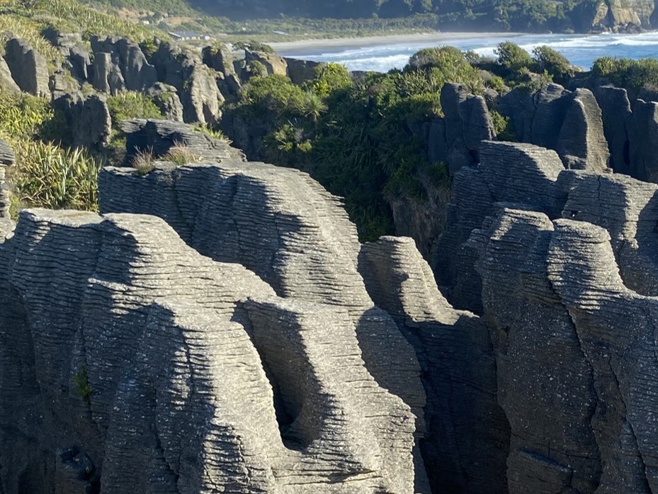
Saturday George and I rode to the West Coast, to Punakaiki. We had lunch in Murchison at the River Cafe and then continued down Highway 6 to the Buller Canyon. A cappuccino at Berlins made sure we were ready to tackle the canyon road. Then joined up with the West Coast of the South Island south of Westport and rode along the coast to Punakaiki. We checked into a hotel and walked over to Pancake Rocks. The rock formations are so named because the sedimentary layers look like a stack of pancakes. Before this I thought that New Zealand was like Hawai'i and purely volcanic. But no, this part of New Zealand was formed by uplifting the sea bottom. (If this is an 8th continent maybe I should own 8 motorcycles?) There was a cafe across the street that had stacks of pancakes on the menu. You can guess where we went for breakfast on Sunday.Departure from Nelson
Love the wide open valleys with small, untrafficked rural roads
Stop for a cappuccino at Berlins, just before the Buller Gorge
Road carved out of the cliff
Reach the west coast of the South Island
George riding along the coast
Check in at the Punakaiki Rocks Hotel
Walk along the seashore to Pancake Rocks
Sedimentary layers made up of limestone and mud do look like a stack of pancakes
The pounding surge channels and blowholes must be amazing during stormy weather
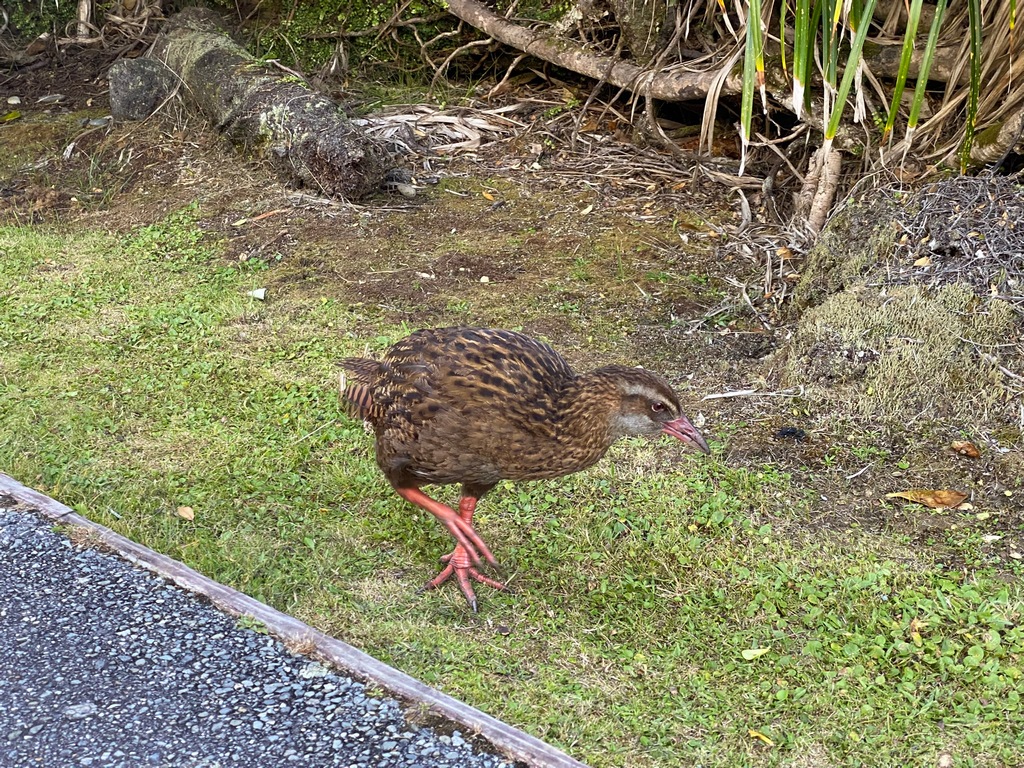
The weka is more common and easier to spot than the kiwi
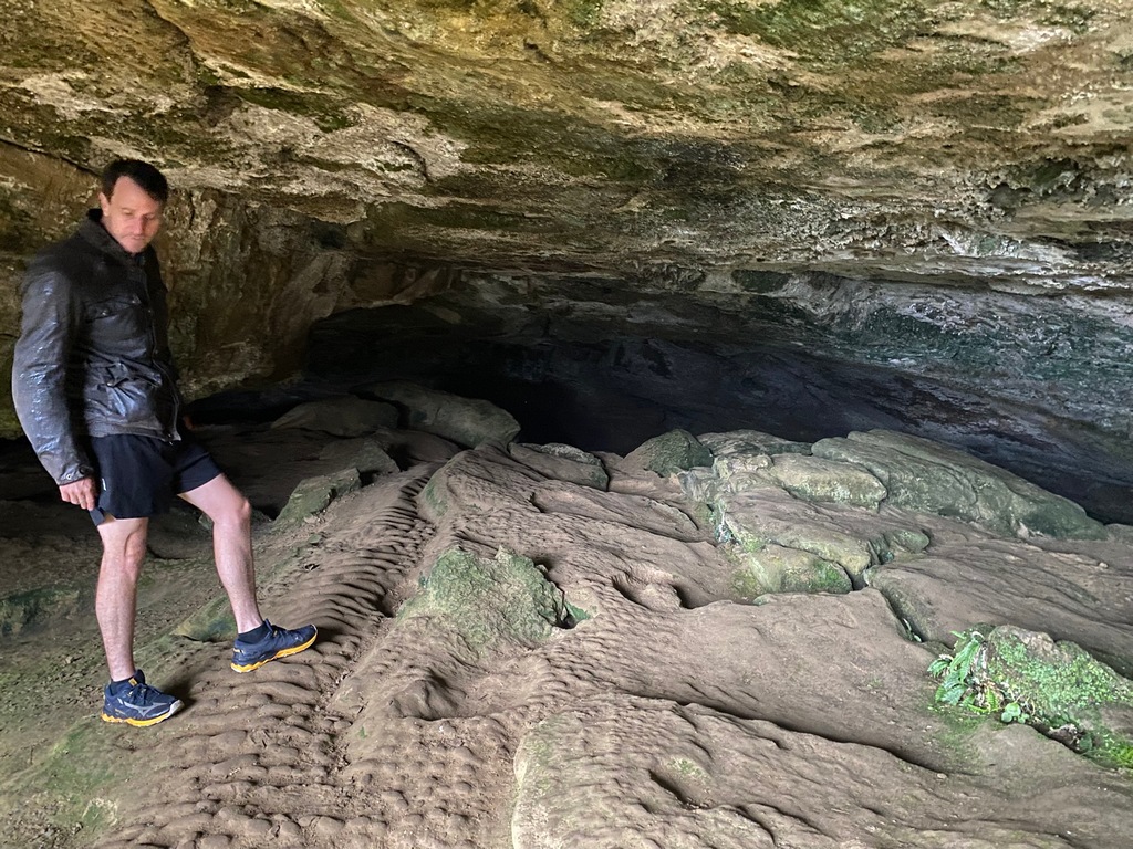
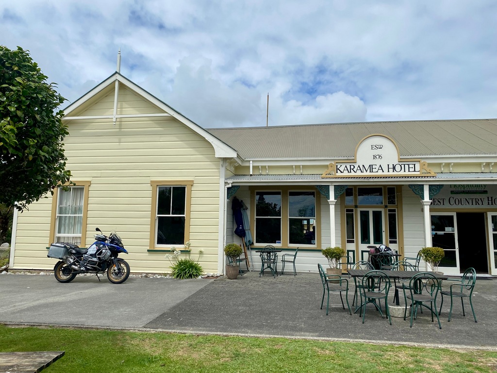
February 9 – Punakaiki (Karamea return)
Well, you knew this was coming. Sunday morning breakfast just had to be a stack of pancakes at Pancake Rocks Café didn’t it? OK, it may have been a bit over the top, what with the eggs and bacon and all. But at least you could see how they came up with the name of Pancake Rocks. Walking back to the hotel we popped into Punakaiki Cavern for a clamber around and then we hit the road northbound. I wanted to ride to the end of the Coast Road in Karamea and George was headed home to Kat and Adele. We stopped in Westport for a cappuccino and then parted ways. It has been really great reconnecting with George after 17 years. It was on and off rain for the 1.5 hour/100 km ride to Karamea and with the warmish temperatures that meant on and off with the rain gear too. The road over Karamea Bluff was a lot of fun and then it was a straight shot up the coast to the Karamea Hotel (est. 1876) for an Earl Grey tea. A look at the map showed that the road actually went a further 18 km where it ended at Kōhaihai River (and the start of the Heaphy Track). Being a bit of a completionist I had to go there before turning around to ride back to Punakaiki.George looks on in amazement as my stack of pancakes arrives (hidden under eggs and bacon and tomatoes)
That's a stack of pancakes allright
Just to confirm, yes, pancake rocks does look like a stack of pancakes
Exploring Punakaiki Cavern
Yay! The exit.

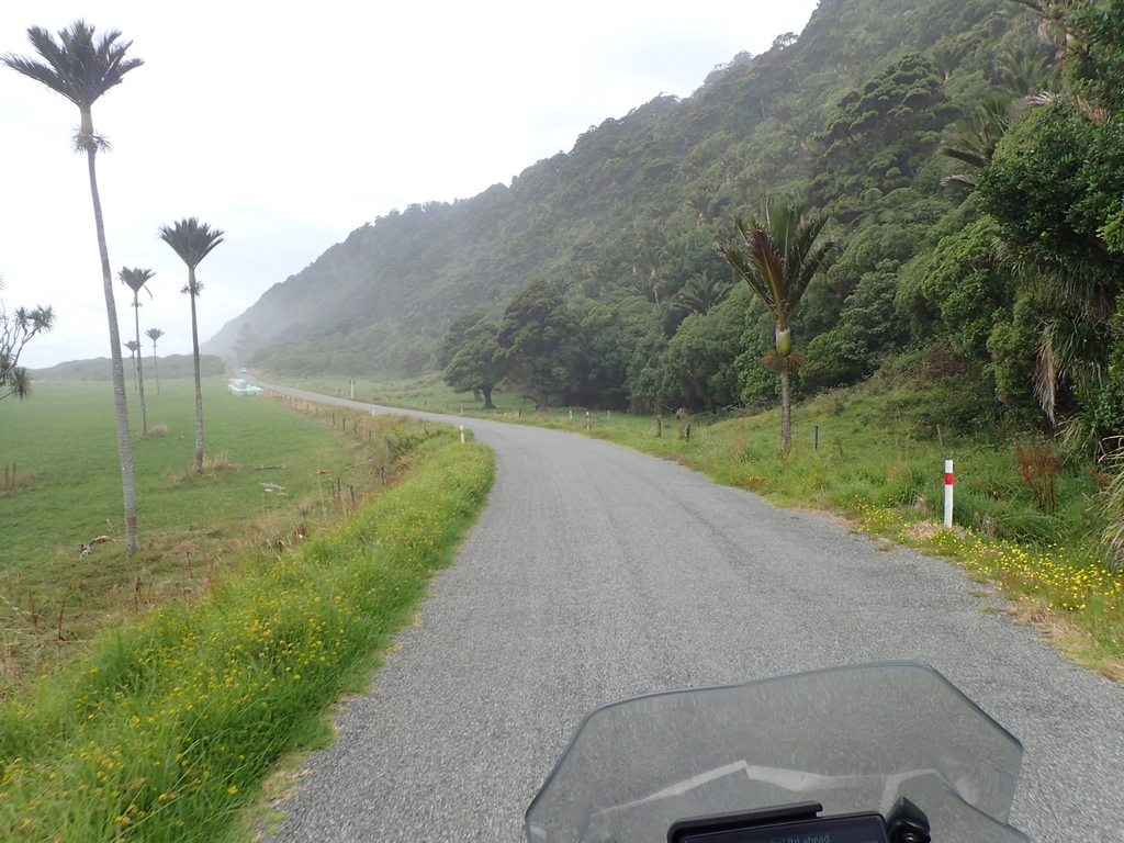
Riding north along the coast
In Westport for a cappuccino
Say goodbye to George as he heads home to Nelson and I head north to Karamea

Along the coast north of Westport
One-lane bridges aplenty
Check the map over an Earl Grey tea at the Karamea Hotel. The road goes a few kilometres further before it ends.
North of Karamea
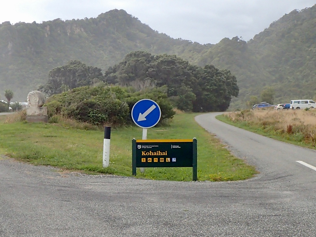
The real end of the Coast Road at Kohaihai River. Also the start of the Heaphy Track that heads east from here for a 5 day tramp.
Back in Westport, riding south
Stopped at the impressive municipal building
Back home in Punakaiki
Sun sets over the Tasman Sea
February 10 – Punakaiki to Christchurch
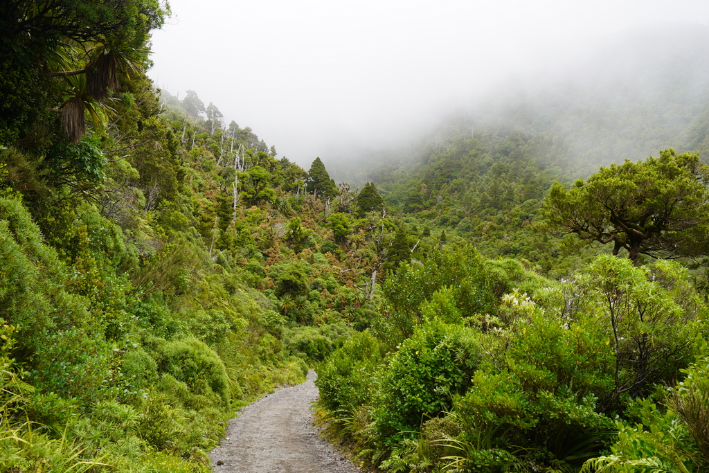
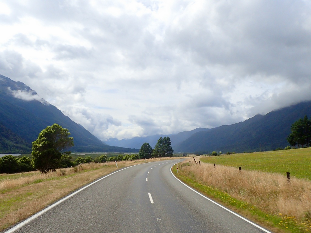
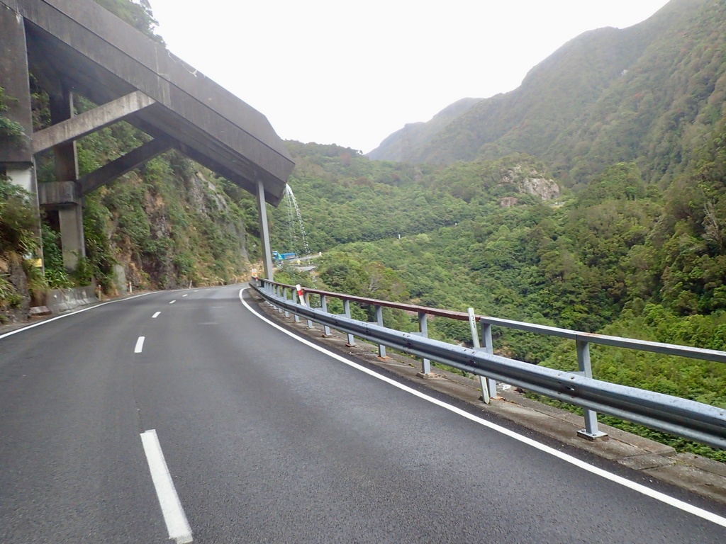
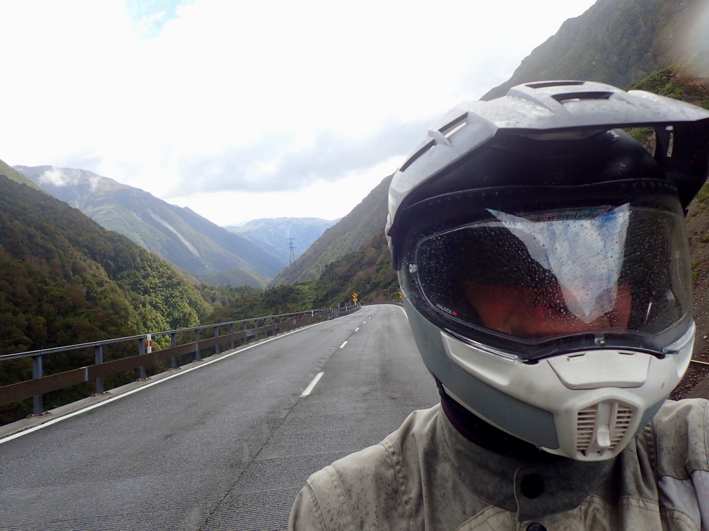
On Monday morning I left the Punakaiki Rocks Hotel and rode the short distance to the Punangairi Visitor Centre. They had great exhibits on Māori legends, wildlife like the kiwi and kea, the formation of Pancake Rocks and spelunking. Thanks to John Fitzwater for the suggestion! Then it was down the coast before turning east to go over Arthur's Pass. Just before the summit was the Otira Viaduct and a viewpoint. As soon as I pulled up at the viewpoint, I was greeted by a few kea! These rambunctious parrots made a bit of noise and were really inquisitive, so I made sure to secure my belongings before checking out the view. Then it was up and over the pass where I stopped in Arthur's Pass Village for a picnic lunch. There were lots of signs to not feed the kea. Descending from Arthur's Pass I had one more pass to go over, Porters Pass, where the temperature dropped by about six degrees. It was cool all the way across the Canterbury plain into Christchurch. Here I'll take a day off to do a bit of trip planning and get caught up on my journaling.The Punangairi Visitor Centre
Wonderful Māori legends
No museum in New Zealand is complete without a kiwi
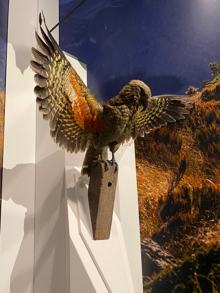
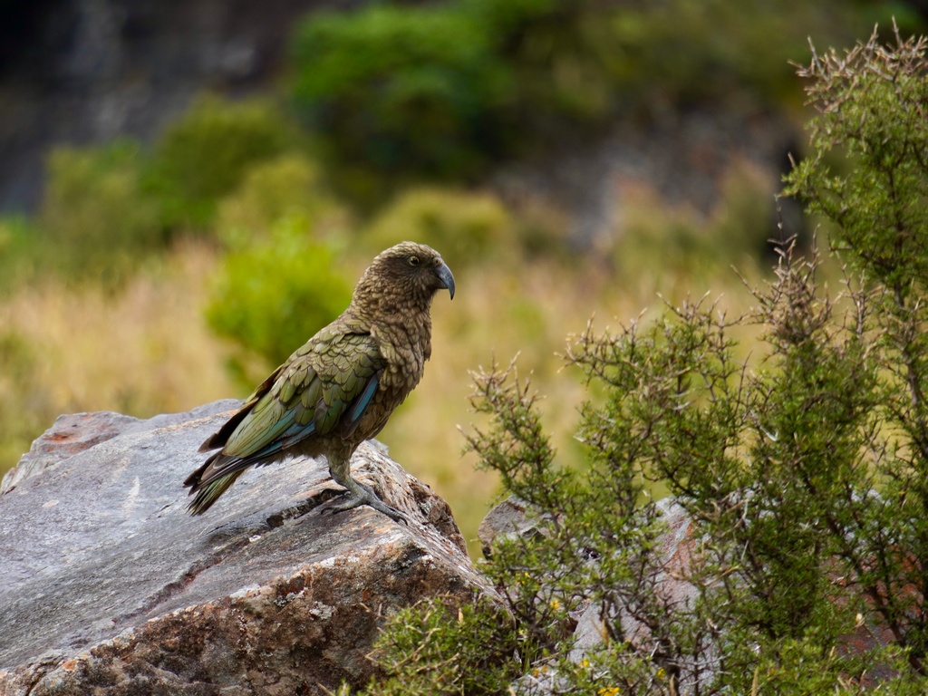
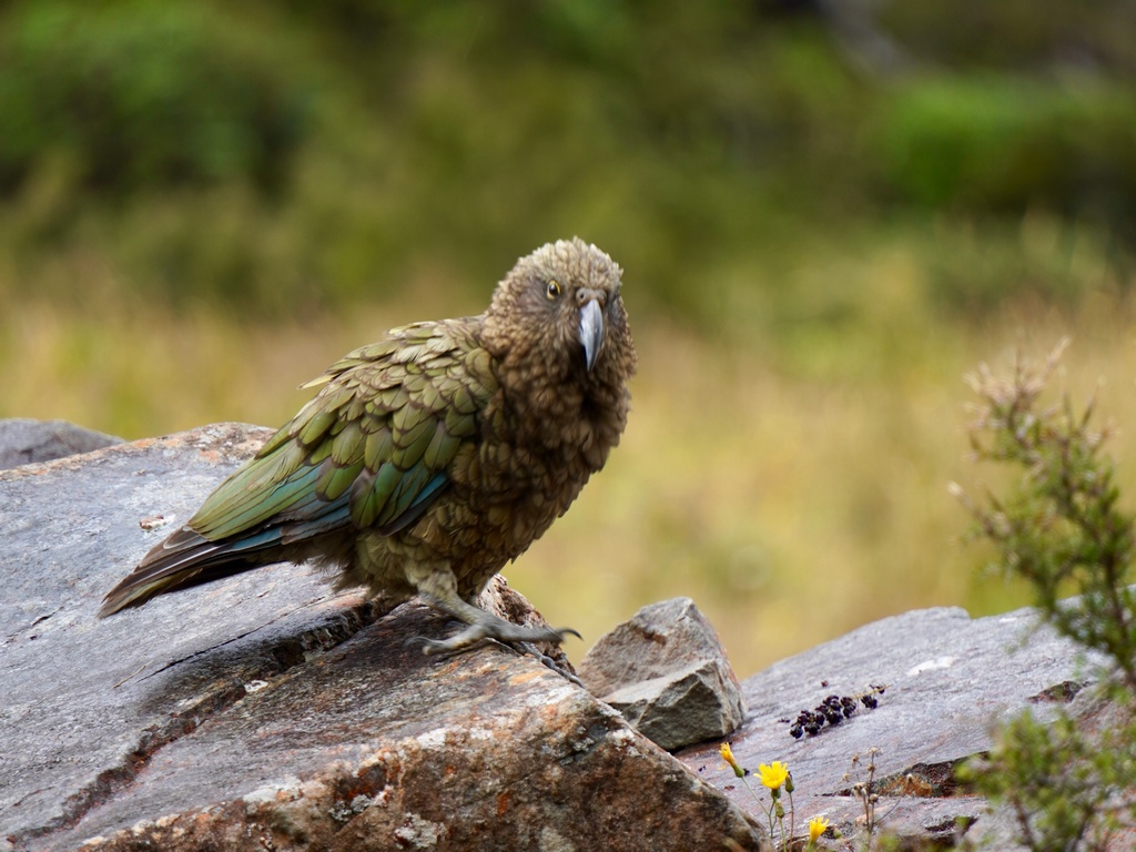
Oh wow, this is a kea (an alpine parrot)
Riding north up the coast
Turn east from the coast and up the Great Alpine Highway
Lots of flat land before we get to the mountains
Climbing Arthur's Pass
Looking back down the pass
Otira Viaduct completed in 1999
As soon as I arrive, a kea comes over to have a look
Beautiful!
Looking up to the summit of Arthur's Pass
After lunch, coming down Arthur's Pass
What's with the cloud bank over Porters Pass?
A cold fog and the temperature drops six degrees
It stays cool all the way to Christchurch
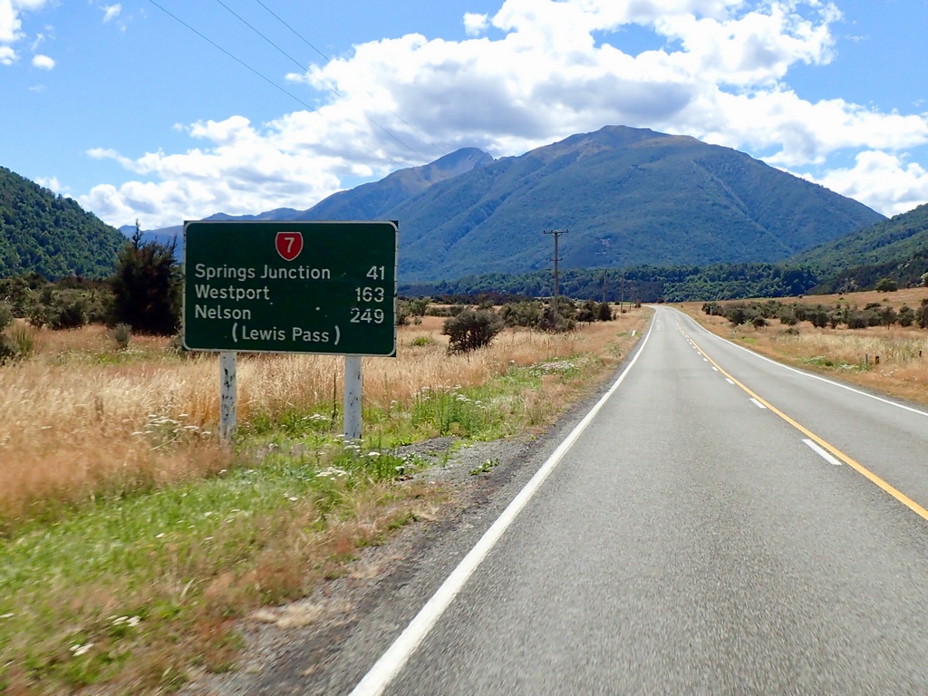
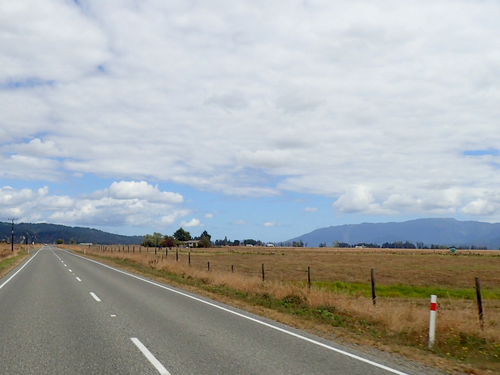
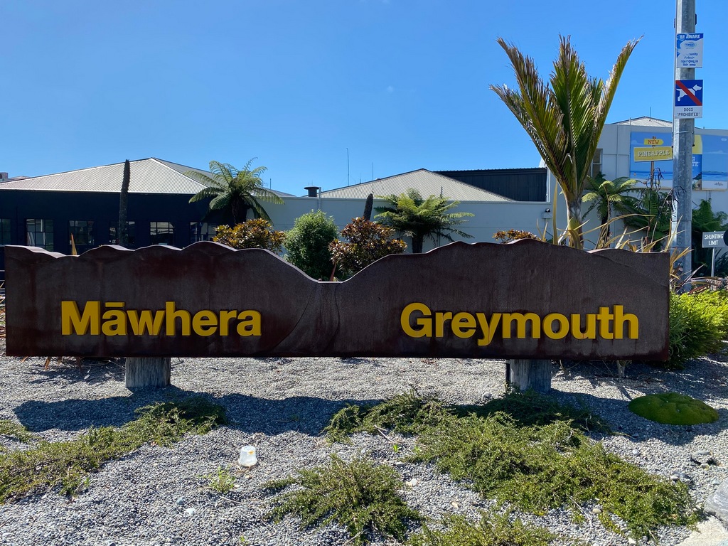
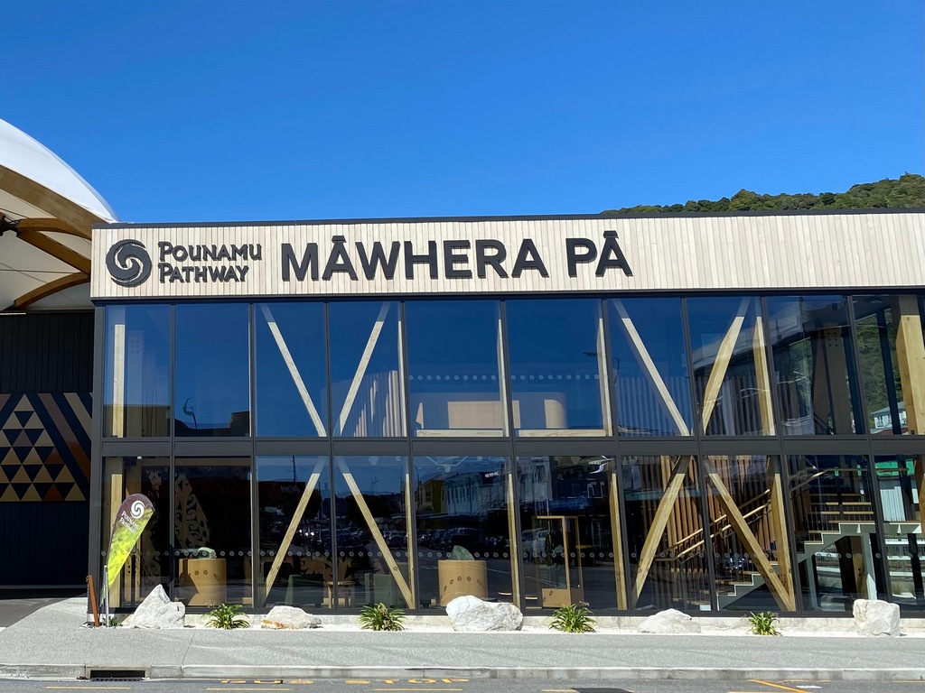
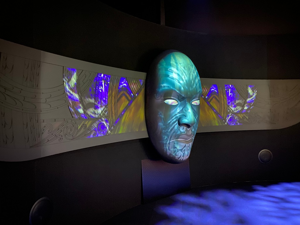
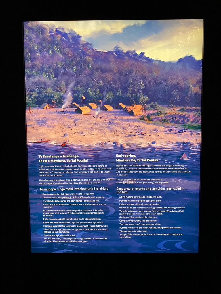
February 11 and 12 – Christchurch to Greymouth
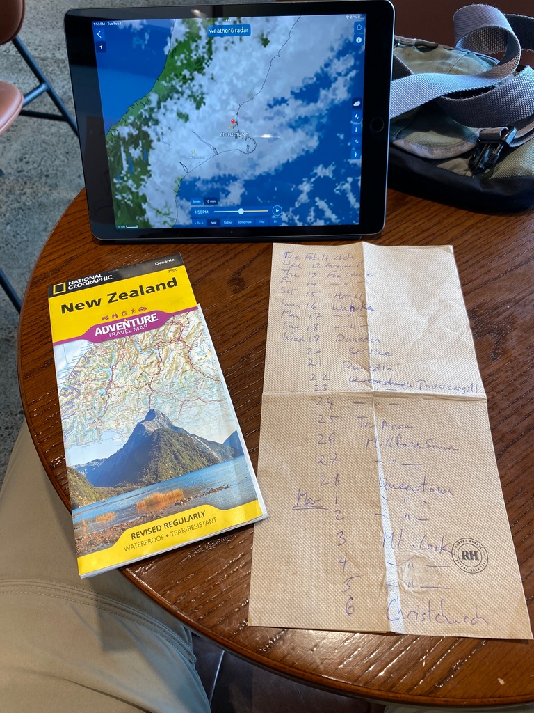
After a day off in Christchurch (trip planning, getting caught up on the website and just reading a good book) I rode over the Lewis Pass back to the West Coast. Compared to passes in the Alps neither Lewis or Arthur’s was especially exciting, but it was really interesting to observe the change in climate between the east and west coasts. In Greymouth (Māwhera) there is a wonderful exhibit with stories at the Pounamu Pathway. The exhibit was made by the same company that did the amazing Gallipoli exhibit in Te Papa, the National Museum in Wellington. I love learning the Māori history, though I hope there isn’t a test on all the names!Trip planning on a napkin (the best kind of trip planning!)
Heading to the West Coast over the Lewis Pass
Into those hills
OK, heading for the pass
And we're on the other side (with blue sky!). Not much of a pass really.
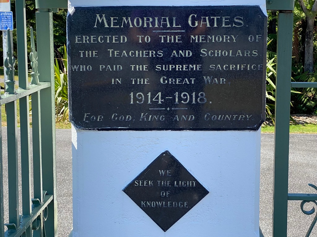
Arrival in Greymouth
Walking to the museum I came across a lovely little park dedicated to the teachers who lost their lives in WWI
The beautiful museum is very new
An amazing exhibit with the history of Māwhera
The battles the east and west coast Māori fought over the pounamu (greenstone)
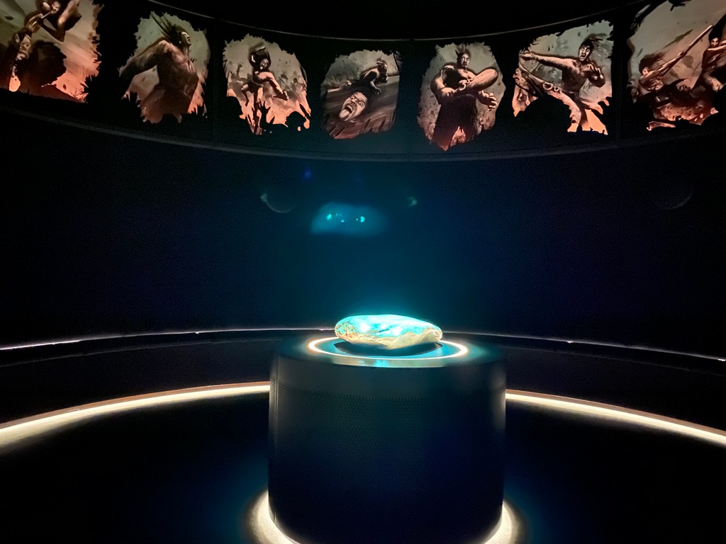
Greater than lifesize figures to tell the stories (just like the Gallipoli exhibit in Te Papa)
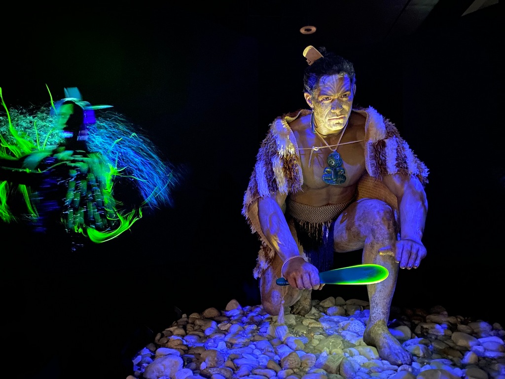
A really interesting film on daily life in Māwhera before the Pākehā (foreigners) arrived
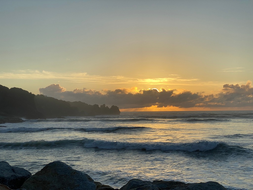
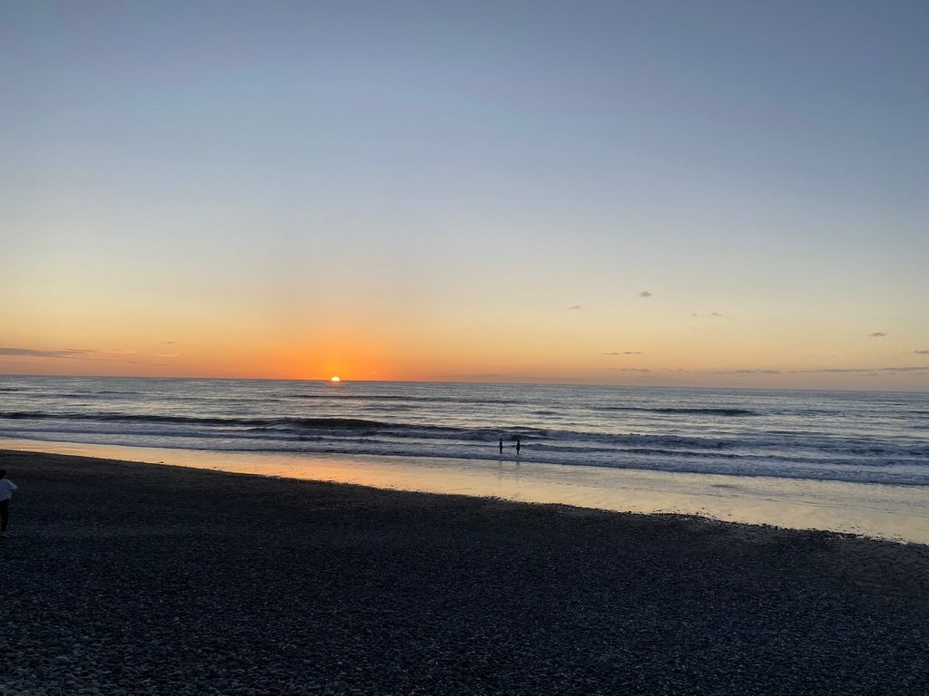
Back for the west coast sunsets
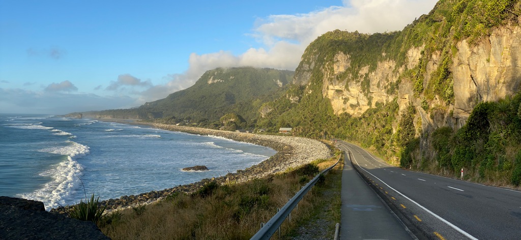
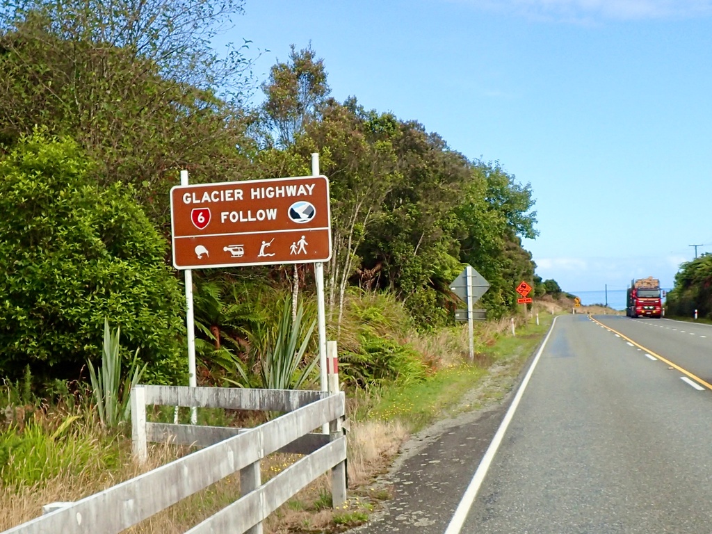
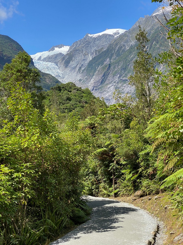
February 13 Greymouth to Fox Glacier
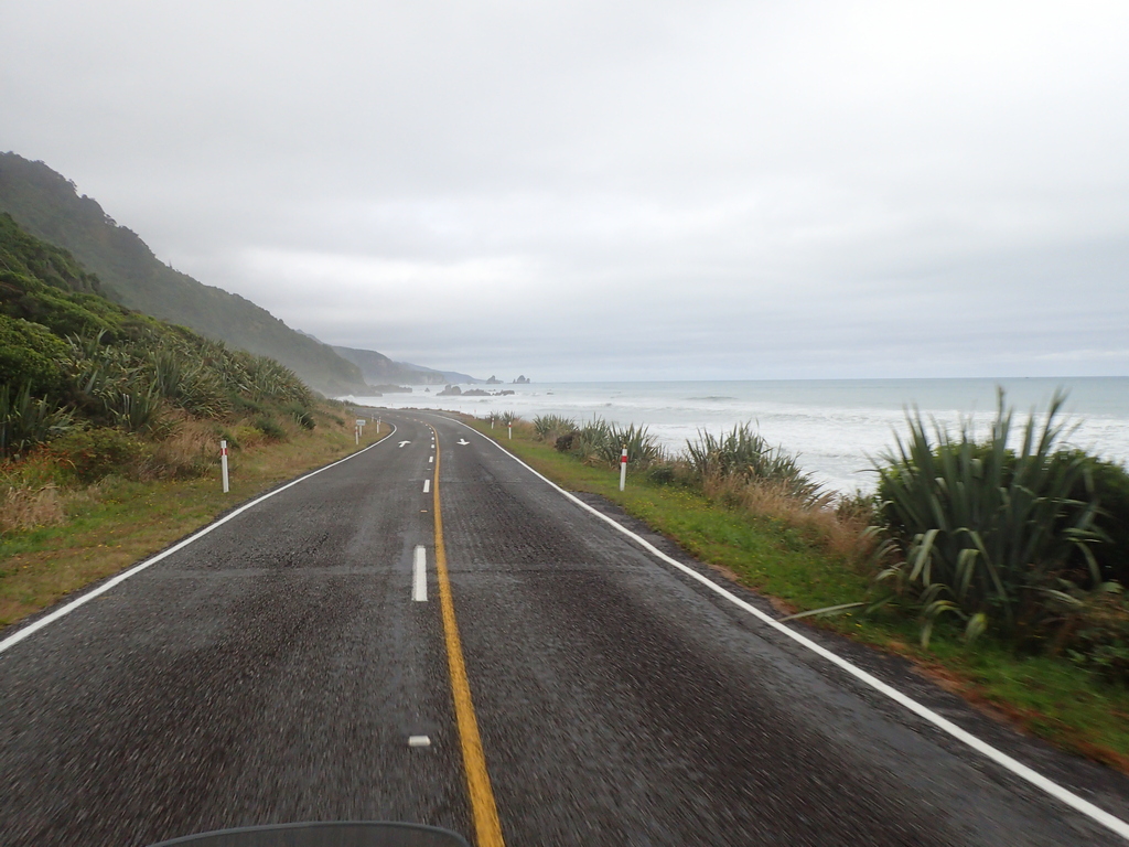
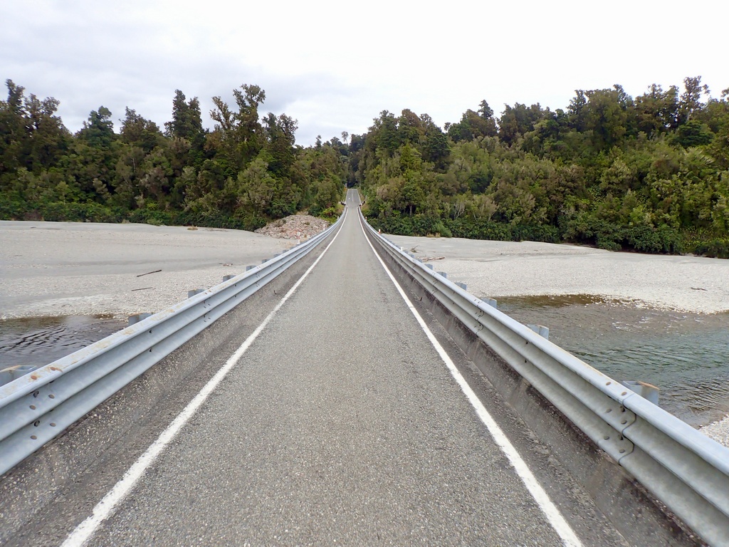
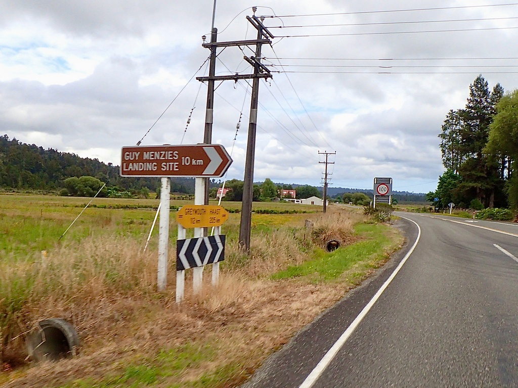
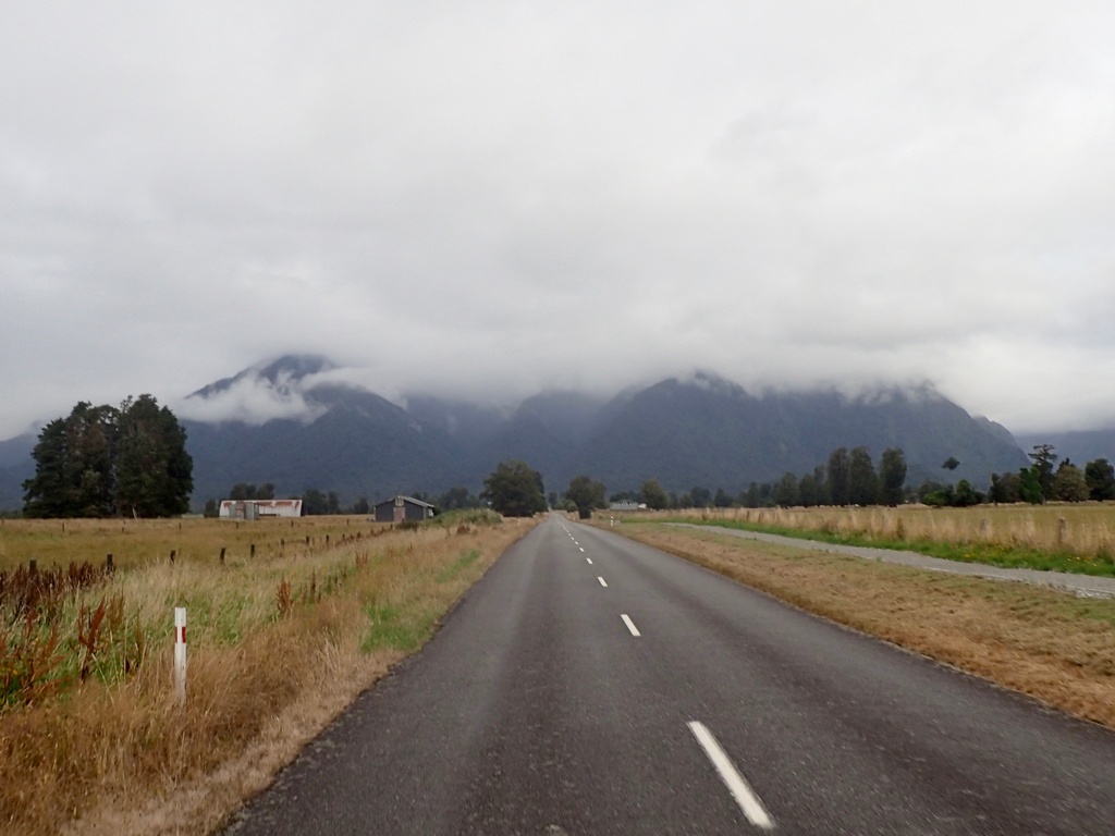
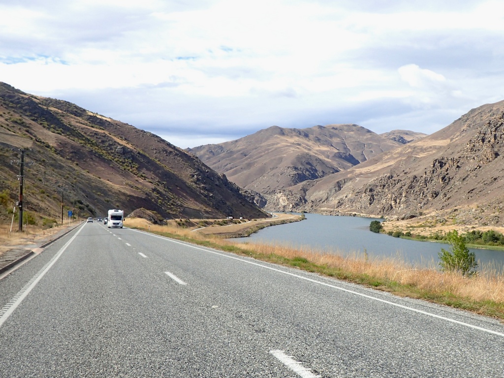
It wasn't a big distance to cover today (or any day in NZ for that matter) so had a nice slow ride along the coast on the Glacier Highway. The route was mostly inland so no rugged coastline and pounding surf today. I passed by a sign for Guy Menzies' Landing Site. Turns out he was the first person to fly solo from Australia to New Zealand. He used an Avro Avian, the same kind of plane that "Wop" May used to deliver diphtheria medication from Edmonton to Fort Vermillion in 1929. Neat connection, eh? At Franz Josef I was having a picnic lunch when a British couple walked by and noticed the Canadian flag on the bike. We chatted for a while, and they said they had been up to the glacier and were shocked by how much it had retreated. She had been here 35 years ago and had a photo from that visit. When I looked at her photo I could see the glacier was at the valley floor. The photo on her phone from today showed it had receded so far up the valley that you almost couldn't see it. I am planning to hike to the viewpoint tomorrow but thought I would ride to the trailhead to have a look before riding to Fox Glacier where I am staying the night. I did get a glimpse of the glacier from the road, but it was too cloudy to see the mountains. Hopefully it clears up tomorrow. Dinner was at the Cook Saloon in Fox Glacier where I feasted on a venison burger to help with the pesky “introduced” deer population.Riding south on the Glacier Highway
Every town has an interesting church. (a lot of the motels have a Gideon's Bible too)
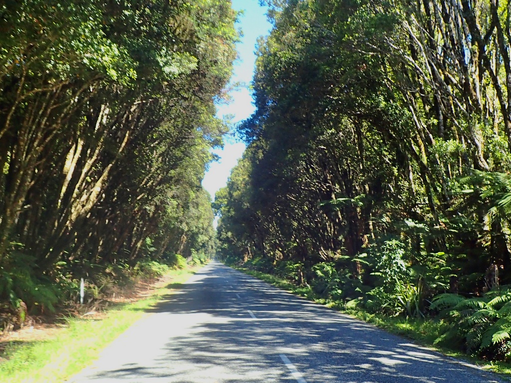
Lush coastal rain forest
Lots of long single-lane bridges crossing the rivers as they make it to the sea
An overcast day for the ride
Guy Menzies was the first person to fly solo from Australia to New Zealand
Seems like an unlikely name for a restaurant in a country that shouldn't have deer
Ah, the deer were introduced (along with thar and chamois)

Picnic in Franz Josef
There should be glaciers and snow capped mountains visible. Hopefully tomorrow.
February 14 – Fox Glacier
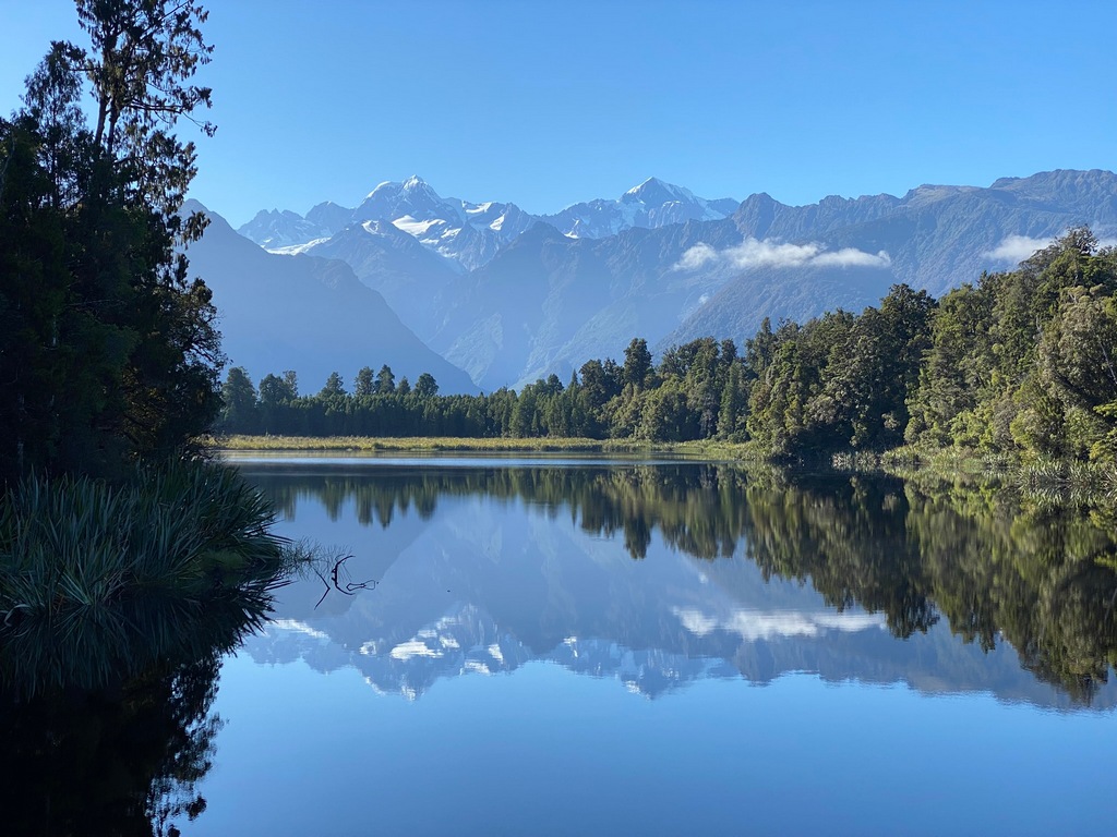
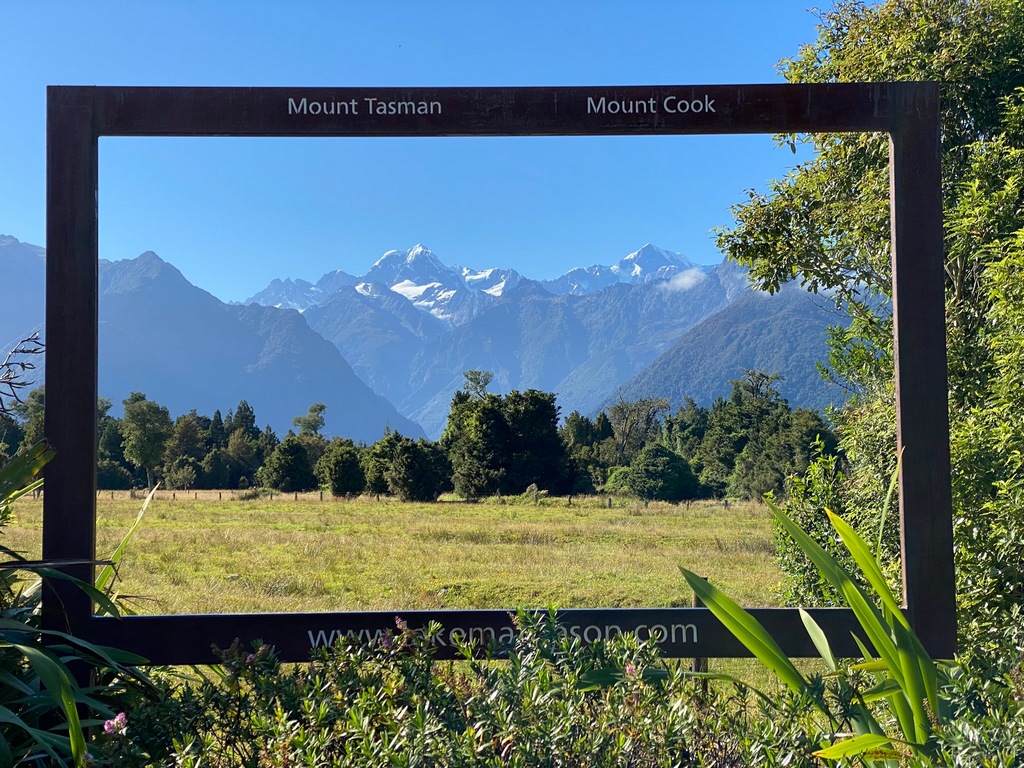
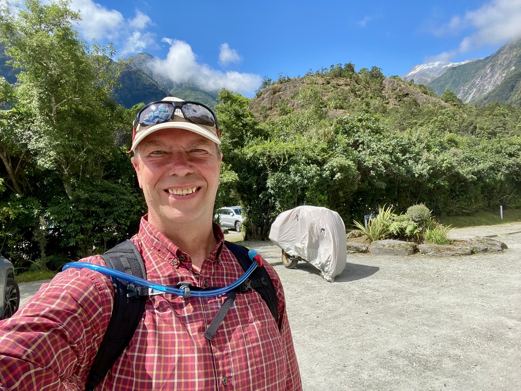
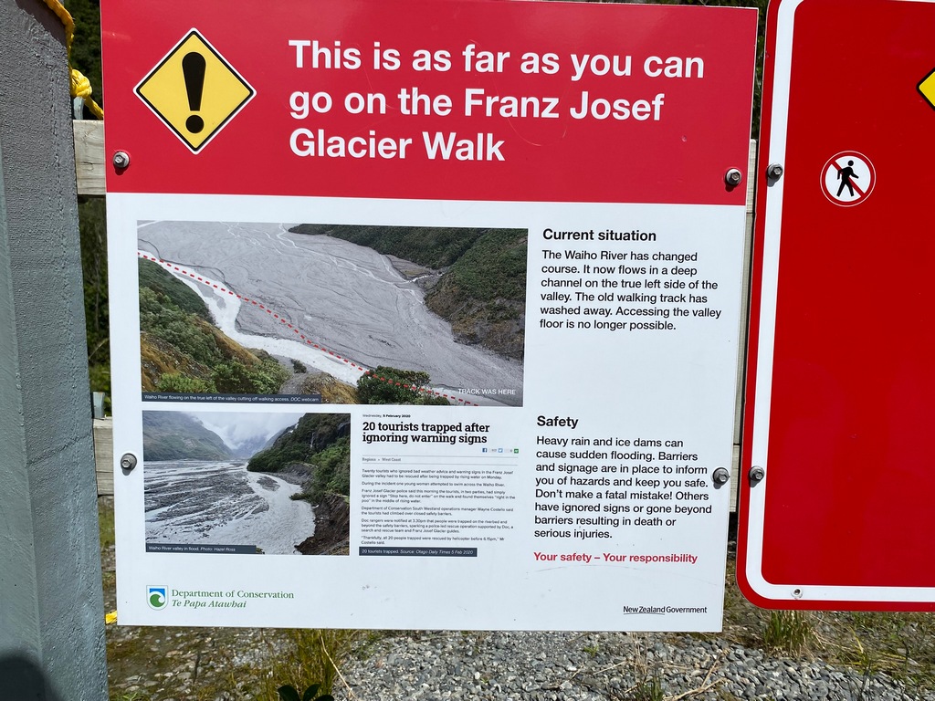
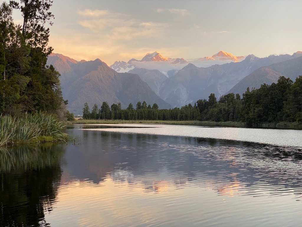
A Valentine’s Day spent hiking on the west side of the Southern Alps. I woke up in the middle of the night and saw that the stars were bright and clear, so I was really hoping after yesterday’s overcast skies that the mountains were clear for a hike to Lake Matheson in the morning. Bright blue skies greeted me, so after a bowl of granola I hopped on the bike for a short ride to the trailhead. The whole loop takes about 1.5 hours, and I was rewarded with stunning views of Mt. Cook and Mt. Tasman over Lake Matheson. Afterwards, a nice cappuccino at the trailhead café was just the icing on the cake. Then I rode back to Franz Josef and hiked up to Sentinel Rock and to the end of the Franz Josef Glacier trail. The trail ended at a fence and warning sign. The trail had been compromised and was no longer safe for hiking. It wasn’t possible to see the toe of the glacier from this angle because it had retreated so far and there were information panels showing the extent of the glacier over time. Back in the town of Franz Josef I popped into the Wildlife Centre, and I must admit that I was disappointed with the centre. Not because the centre wasn’t interesting but because I have been spoiled by the incredible museums of Te Papa, Pancake Rocks and Māwhera. Still, they had a couple of kiwis and there was no glass barrier (as was the case in Rotorua) so it was really cool to be so close that I could have reached over the barrier and petted them. Later, in the White Pub for dinner, I met Howard and Karen from the UK. As we chatted, I mentioned I was from Canada and bought a bike in Auckland. Howard said, “Do you have a big Canadian flag on the left pannier?” I guess I had passed them on the road a day or two ago! After supper, the clouds had lifted a little, so I rode back to Lake Matheson and hiked to the viewpoint for some great sunset photos. A three-hike day!A walk through the forest to get to the far side of Lake Matheson
Mirror reflection
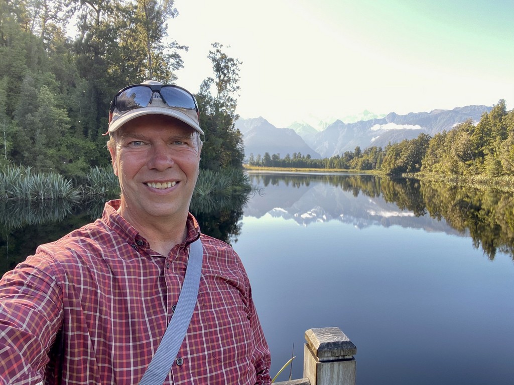
Mt. Tasman and Mt. Cook from Reflection Island
Helpful
Riding from Fox Glacier back to Franz Josef, on a sunny day
Starting the Franz Josef Glacier Trail, with a side trip up Sentinel Rock
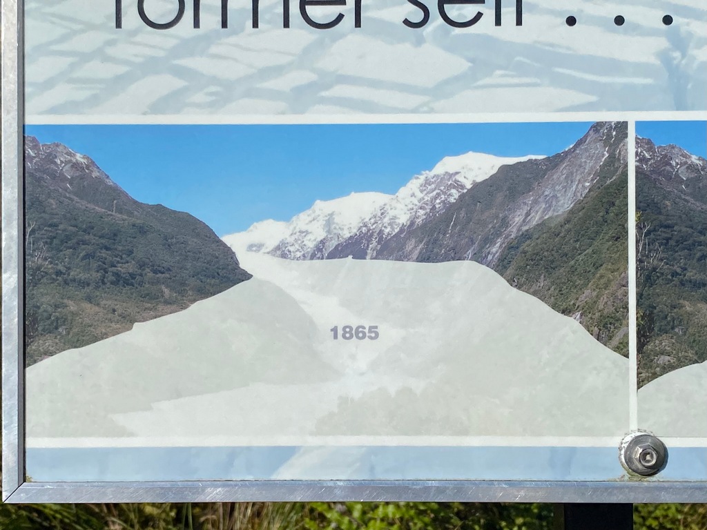
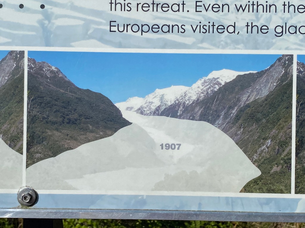
At Sentinel Rock are display panels showing the extent of the Franz Josef Glacier over time. Starting in 1865.
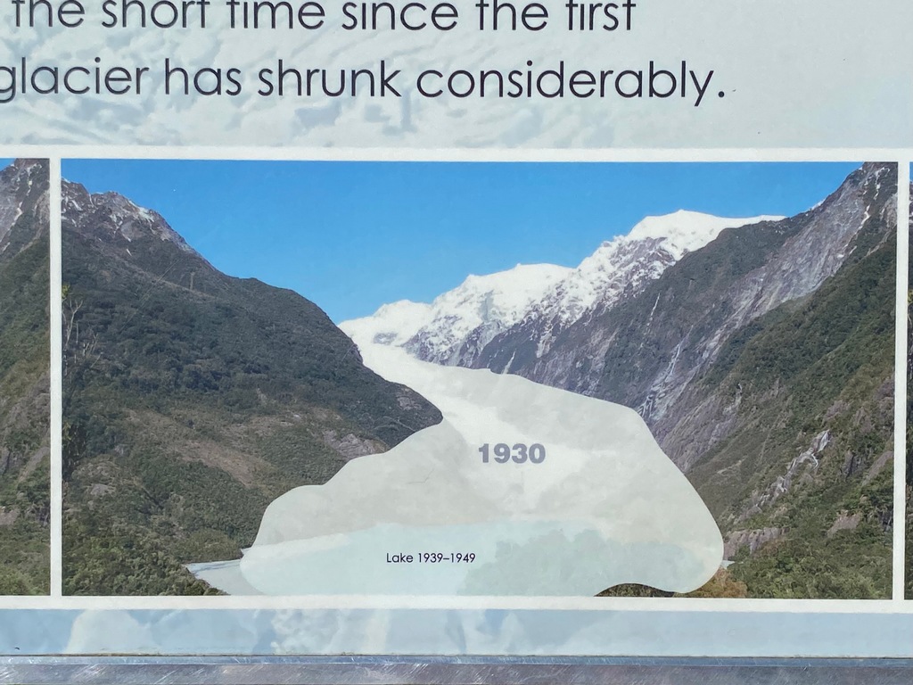
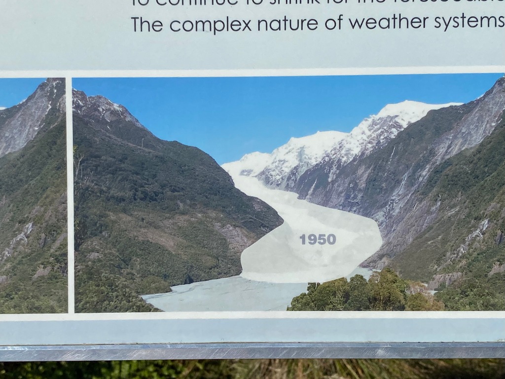
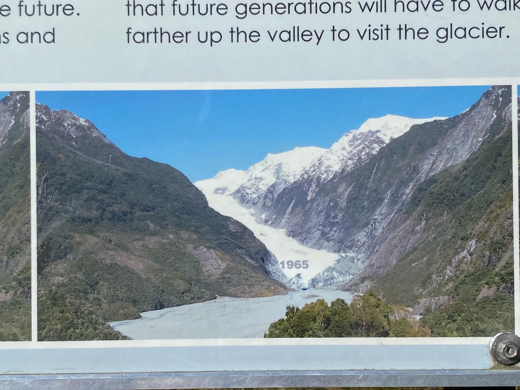
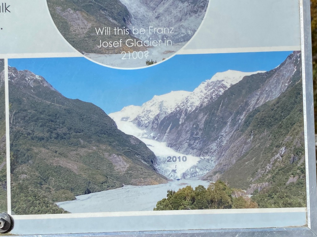
My photo taken from the same spot in 2025, you can't even see the toe of the glacier
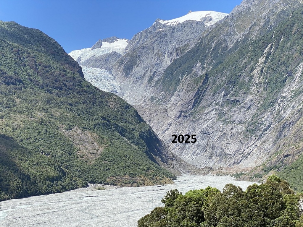
Continuing the walk up the Franz Josef Glacier Trail
End of the trail and still can't see the toe of the glacier
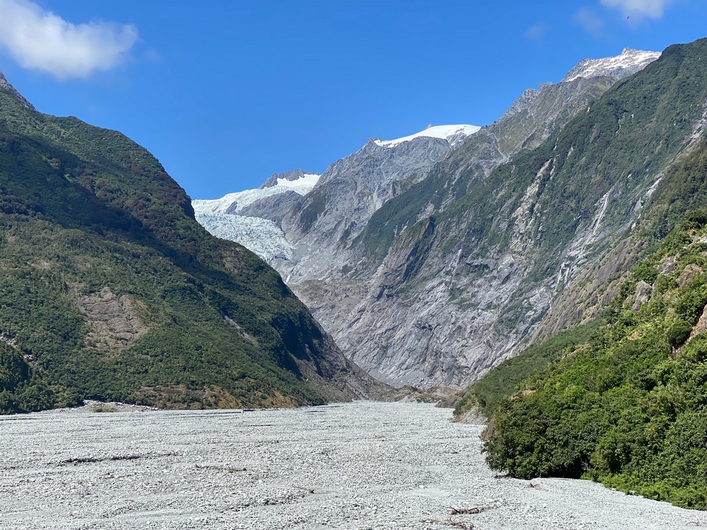
Yes, really the end of the trail
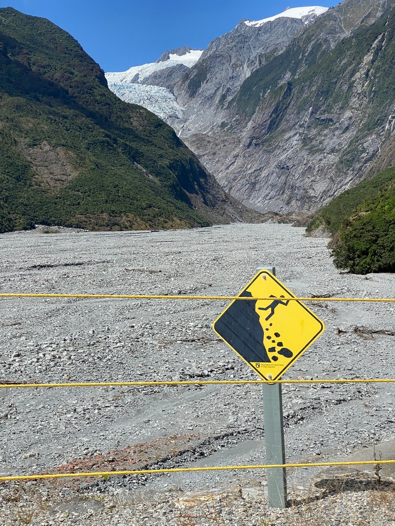
Smokey the Bear says so
20 tourists had to be rescued a few years ago
The Wildlife Centre in Franz Josef has kiwis in their nocturnal habitat (no photos allowed)
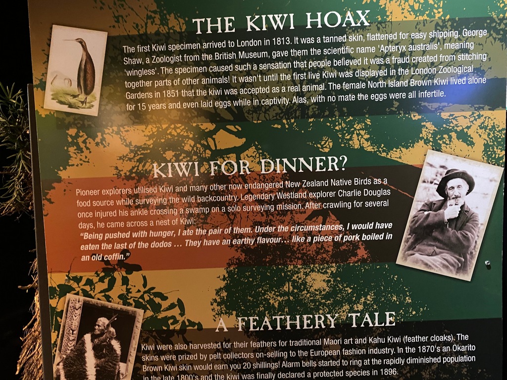
"They have an earthy flavour. Like a piece of pork boiled in an old coffin."
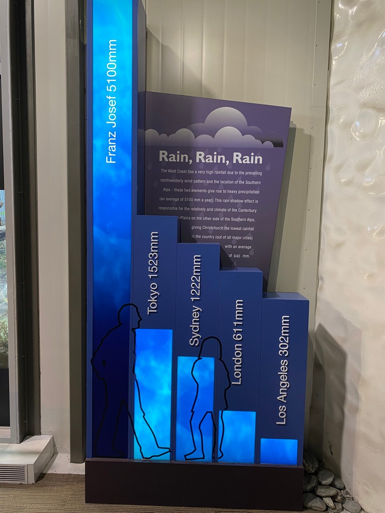
For reference Calgary gets about 550mm.
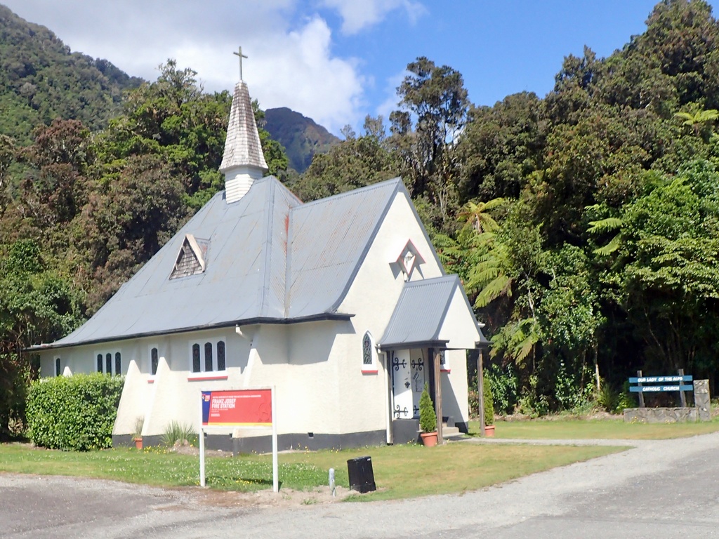
Catholic church in Franz Josef
Third and final time on this glorious, 23 km stretch of road between Franz Josef and Fox Glacier towns.
A sunset walk after dinner to Lake Matheson
Walking back to the car park
Riding home after sunset
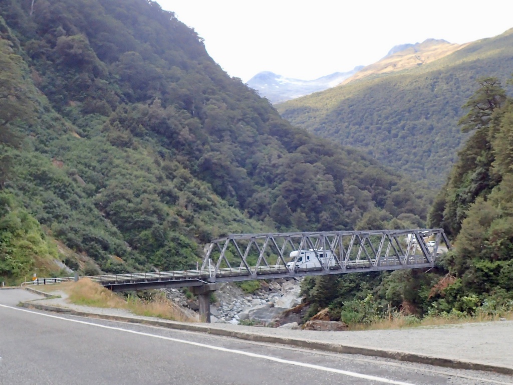
February 15 – Fox Glacier to Haast
Today I planned to ride to the end of the road, the southern terminus of the West Coast Road that is. Since it wasn’t a long ride today, I stopped at a café in Fox Glacier for a “dirty chai” and to peruse the map. Across the street was a sign for Glacier Viewpoint that backtracked past Lake Matheson. I had ignored it before, thinking I had seen the glacier from the lake. Since it was such a glorious day, and I had lots of time, I left the café, rode past the hotel and Lake Matheson another 4 kilometres to a short gravel section where there was the most amazing view of Fox Glacier (the glacier not the town). I had been seeing a small section of the glacier, the head of the glacier near the top of Mt. Tasman, but now I could see the whole thing. I was so glad I backtracked for this! Now, getting on the road for real, I once again rode past Lake Matheson, my hotel and the café in Fox Glacier (the town not the glacier) and turned south. I came to Bruce Bay, which had been preceded by a number of “view” signs, I wasn’t terribly impressed by the view of the bay. Just as I thought, I won’t bother stopping unless there is an ice cream stand, an ice cream stand showed up. Perfect. A real fruit ice cream while sitting on a rock on the breakwater overlooking Bruce Bay was quite pleasant. Further down the coast, at lunch time, I stopped at a picnic spot where a monument marked the 1965 completion of the highway that connected the entire west coast. I rode past Haast (my destination for the evening) and continued to the end of the road in Jackson Bay. That’s it, the length of the West Coast had been ridden, all the way from the Kohaihai River to Jackson Bay. Back in Haast I stayed at a holiday park that also had a motel. It was fun to be in a campground, the atmosphere is so different from a hotel, that I almost regretted not having brought my tent. Until I had to go to the bathroom in the middle of the night. In the ensuite.On the way to Fox Glacier (the town) for a cappuccino
Having a dirty chai instead of a cappuccino while perusing the map
Wow, the whole range
Fox Glacier
One of many one-lane bridges today
Leaving the viewpoint on the short gravel road section
Riding back past Lake Matheson, the hotel and Fox Glacier (the town) to turn south
Real fruit ice cream at Bruce Bay (the ice cream was worth stopping for, the bay not so much)
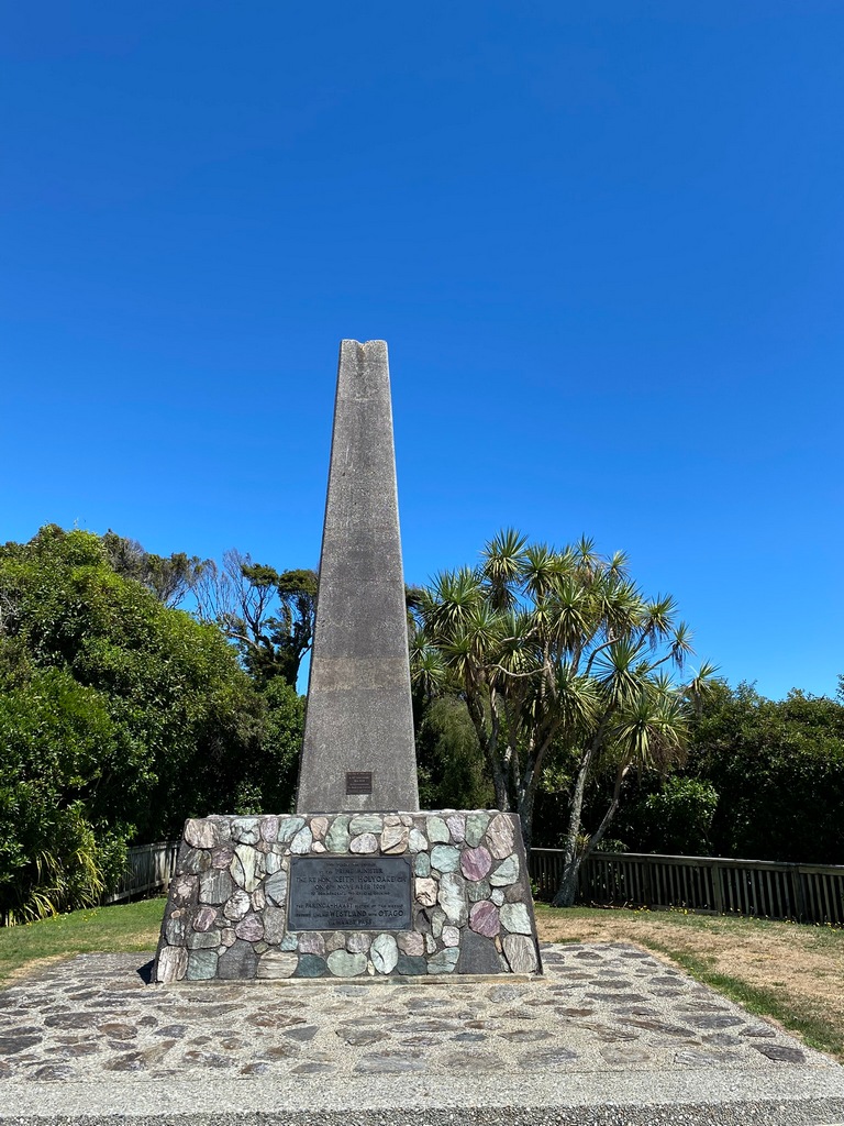
The monument dedicated to the completion of the highway in 1965. Picnic tables are tucked in behind the obelisk.
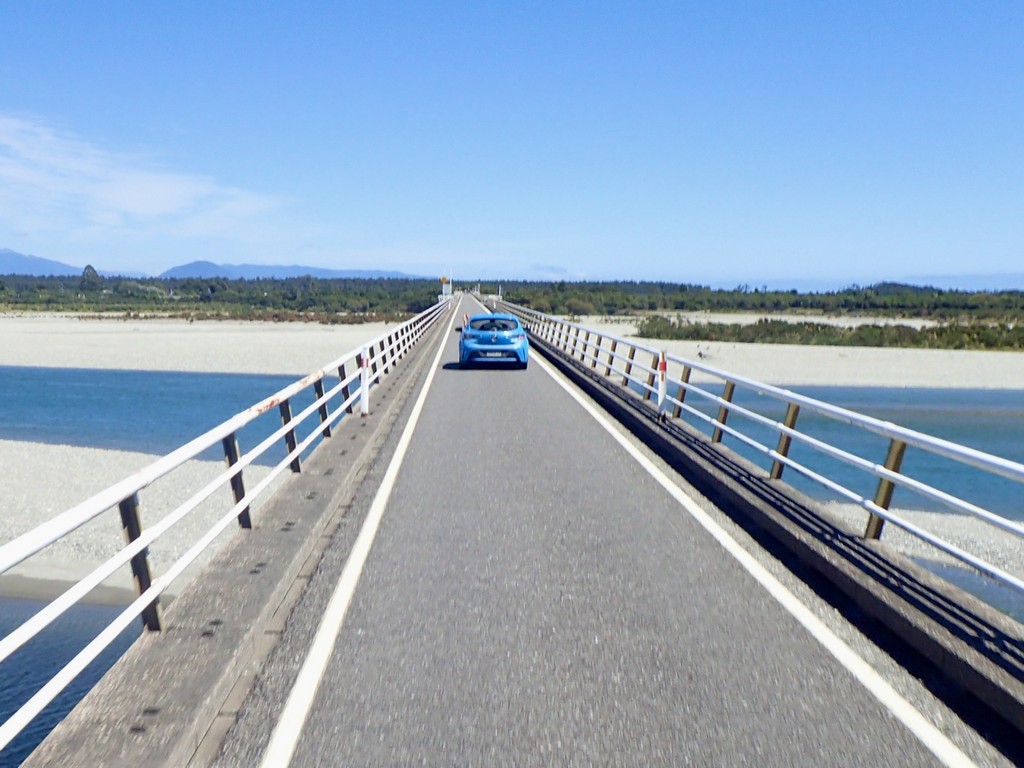
The longest one-lane bridge I've been on. No traffic lights but there were two pull outs for oncoming traffic.
Straight south from Haast Junction through coastal forests
Looking up one of the many rivers to the Southern Alps
Jackson Bay
The southern end of the West Coast Road
Not today sadly
Staying at a holiday park was fun
Making real fruit ice cream involves mixing frozen fruit with vanilla ice cream
Tracks for the north and west of the South Island
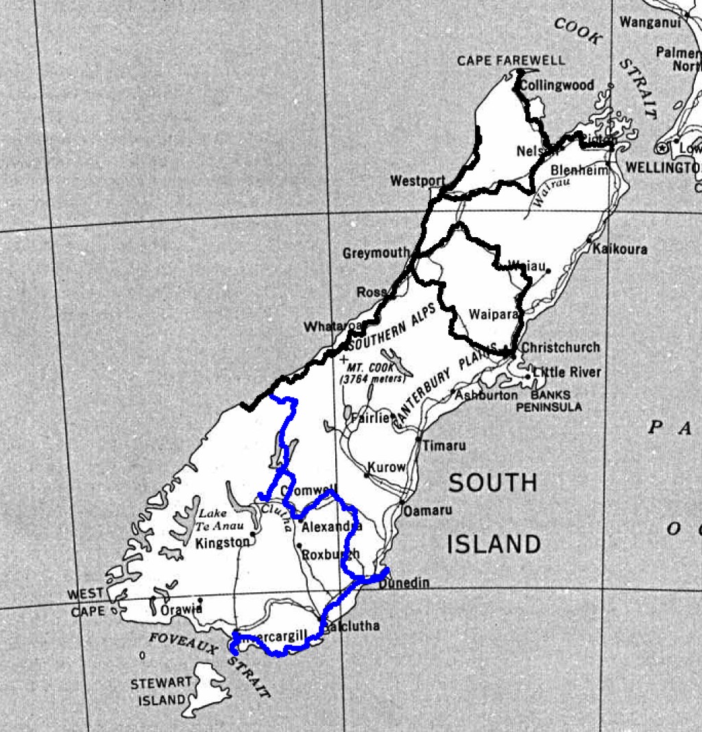
The ride in New Zealand so far
Chapter 4: South of the South Island
Chapter 4: South of South Island
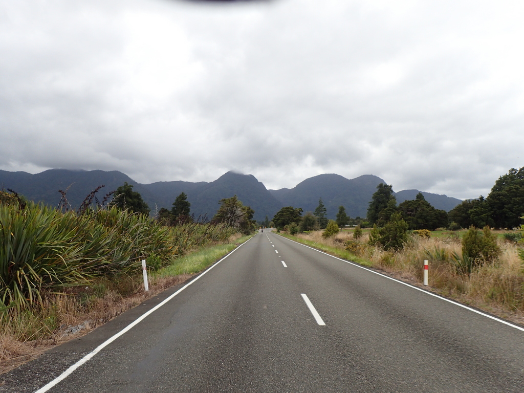
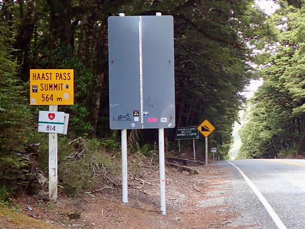
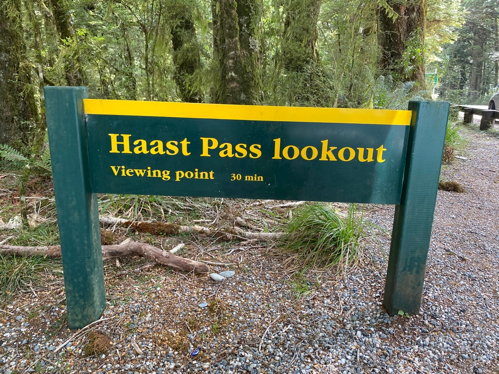
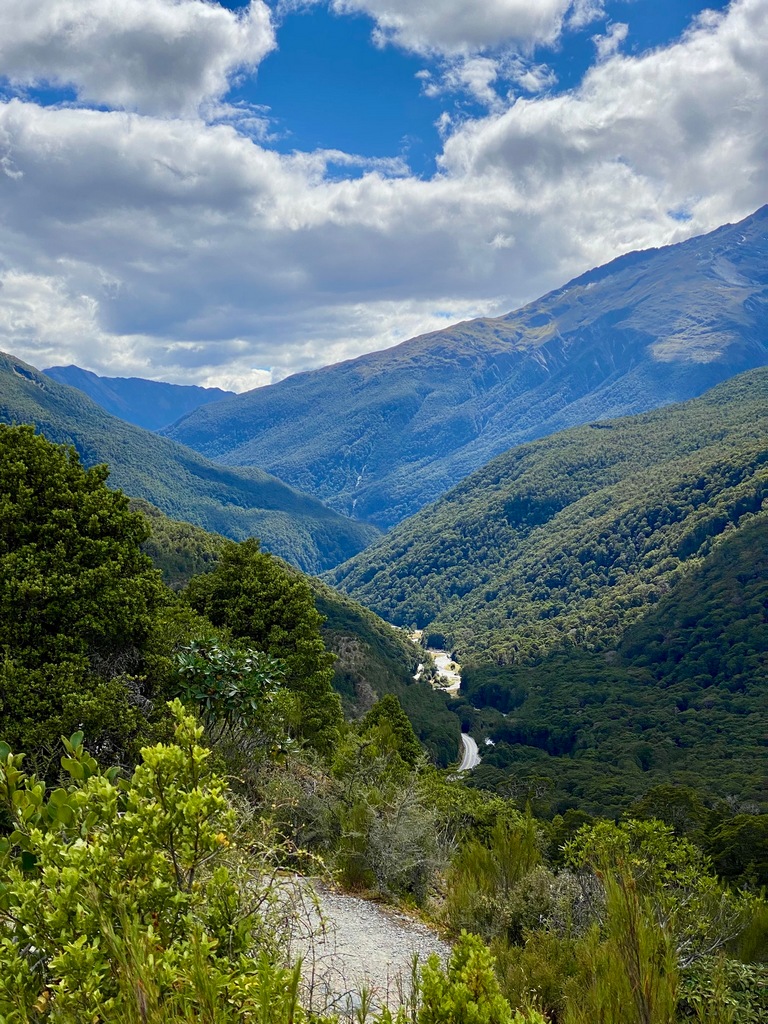
February 16 – Haast to Wānaka
Having finished the west coast, it is time to start the next chapter of my travels around New Zealand. From Haast I rode east over the appropriately named Haast Pass with a couple of short hikes thrown in. On a curvy section of road, I came across a collision scene where it looked like one of the vehicles had crossed the centre line. I hoped everyone was OK and determined to take care with the corners, watching or other vehicles and making sure I didn’t get too close to the centreline on right hand corners. After a short hike to Thunder Falls, I rode up to the summit of Haast Pass where a grandma and grandchild had just returned from a hike to a viewpoint. I am not usually a big fan of going for longish hikes when the motorbike is fully loaded but they encouraged me to go up. So I took all the valuables out my pockets and strapped the jacket to the bike, then locked the helmet to the handlebars. The hike up to the pass overlook was quite a bit of vertical but it wasn’t too far, to the top. The descent wasn’t quite as pleasant, as my toes were jammed into the motorcycle boots. Riding down the east side of the pass (only 564m elevation) the scenery change was even more dramatic than going over the other two passes on the South Island. It was like going from Vancouver to Kelowna in the space of 10 or 20 kilometres. Having worked up an appetite with the hiking I stopped at the Makarora Country Cafe for a venison pie. Yum! On through the arid landscape to Wānaka, where I had an apartment rented for a few nights.Leaving Haast Junction and the holiday park
Watch out for cyclists
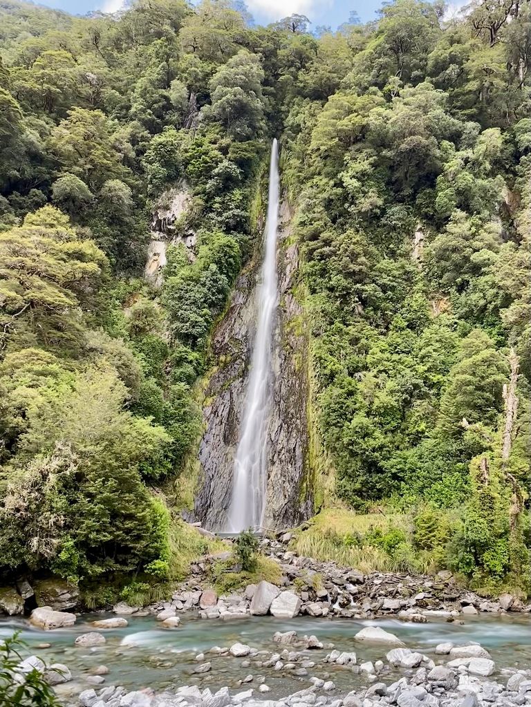
Lovely short walk to Thunder Falls
Thunder Falls
One of many one-lane bridges
The lowest of the three passes crossing the Southern Alps
Nice view, looking west towards Haast from the lookout
Venison pie and a ginger beer for lunch
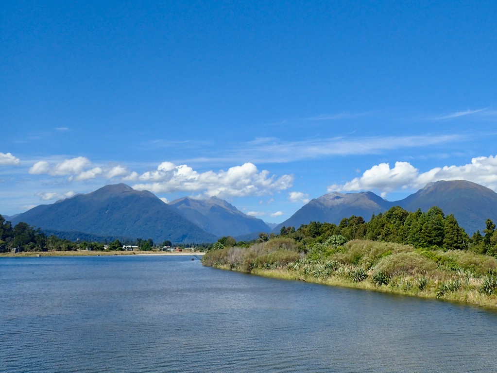
Lake Wānaka looks like it could be in the Okanogan in B.C.
Jumping into the Clutha River on a hot afternoon
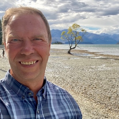
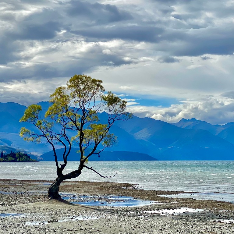
February 17 and 18 – Wānaka
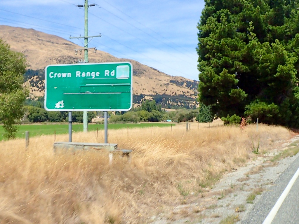
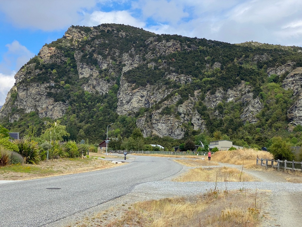
I spent a couple of days in Wānaka after riding from Haast on the West Coast. Monday, the first day here, I did a ride to Arrowtown over the Crown Range Road. The views coming down to Arrowtown were spectacular and I was glad there were cars in front of me so that I could enjoy those views. Arrowtown, settled as a gold mining town, was a very popular tourist destination and the crowds dissuaded me from finding a parking spot and a little cafe for a cappuccino. Instead, I picked up a burrito (!) at a 4 Square convenience store and had a picnic in a park. Then, I got to ride home on Crown Range Road and again I was really lucky in that there was no traffic ahead of me on the ride up so I could (ahem) enjoy the ride rather than the views. Tuesday was a hiking day. I walked through the neighbourhood from my apartment in Albert Town to the base of Mount Iron (a hill really) and took the steep way up so that I could descend on the more gradual side which was easier on the knees. In the evening, I rode into Wānaka and walked out to #thatwanakatree for the perfect Instagram shot.Leaving Wānaka and taking the Crown Range Road to Arrowtown
Starts out with nice, wide sweeping curves
Always a good idea
Great views over the valley as the road twists down
Arrowtown is crowded with tourists
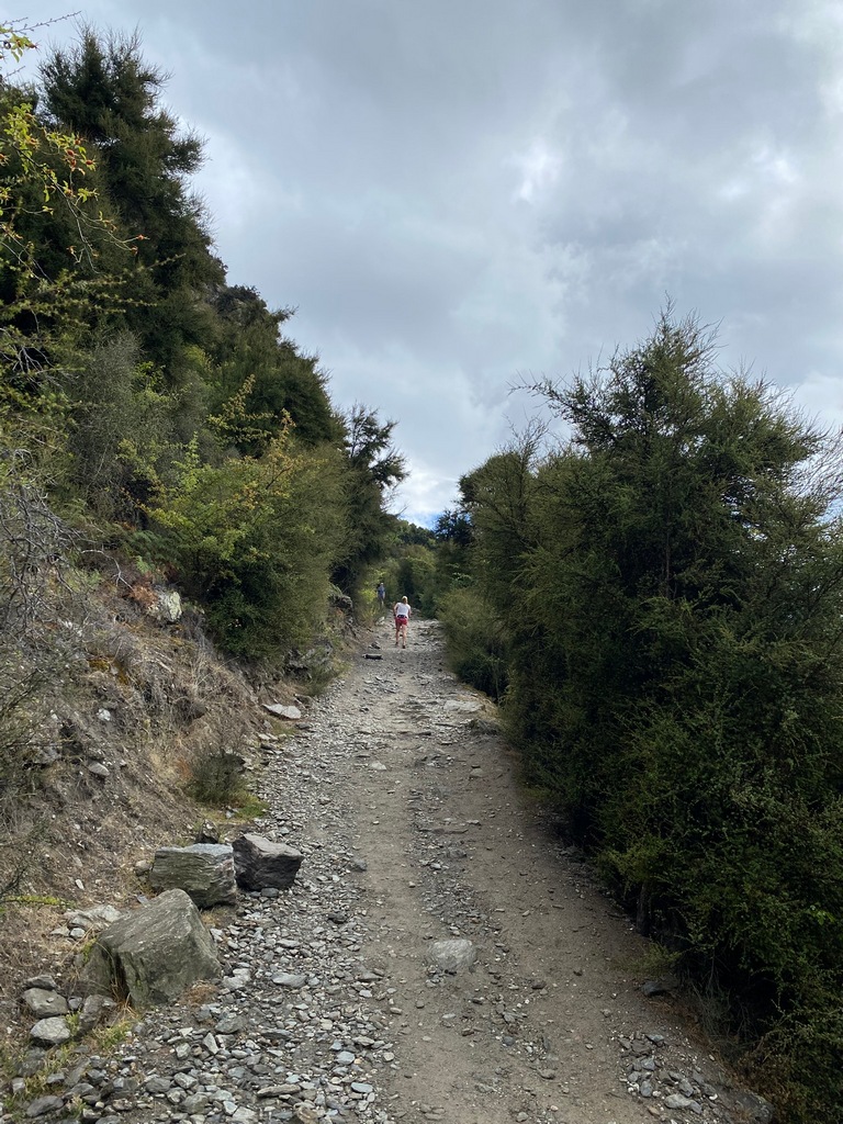
Mount Iron as I walk through the neighbourhood to its base
Steep climb up
Looking down on a couple of motorcyclists negotiating a roundabout
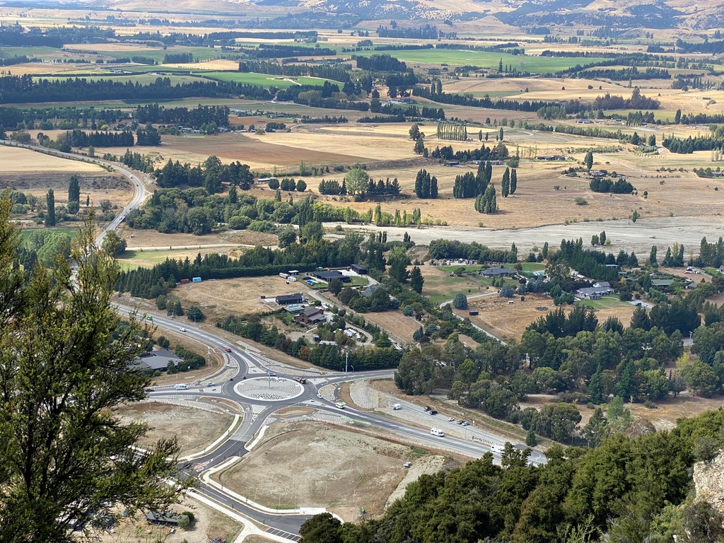
A Survey Control Monument at the summit of Mt. Iron
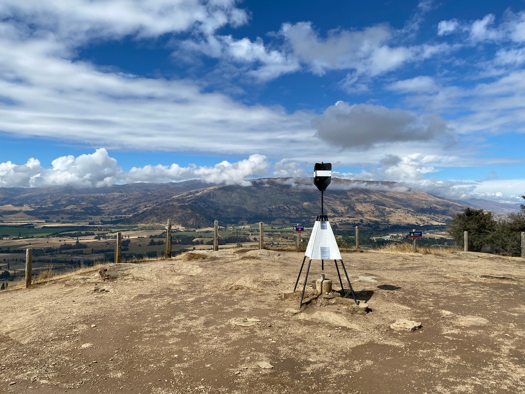
Lake Wānaka on the left and Lake Hāwea on the right
That iconic Instagram shot
#ThatWanakaTree
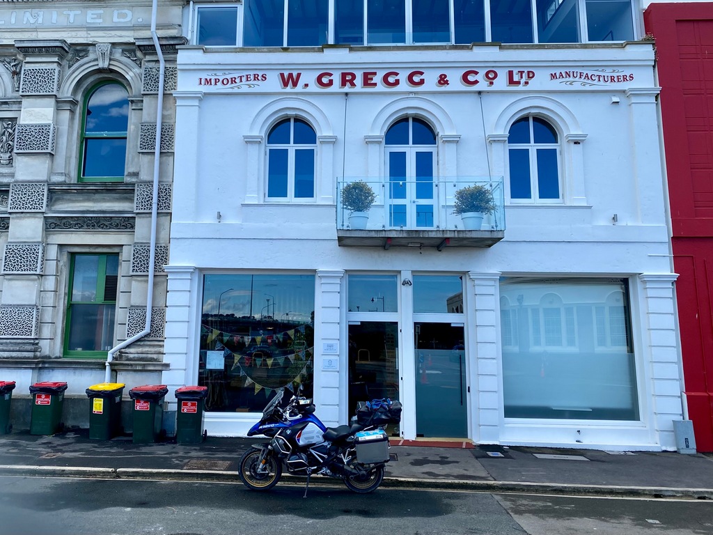
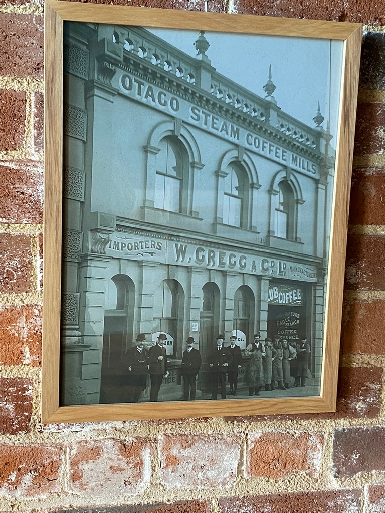
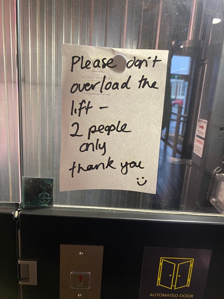
February 19 and 20 – Wānaka to Dunedin
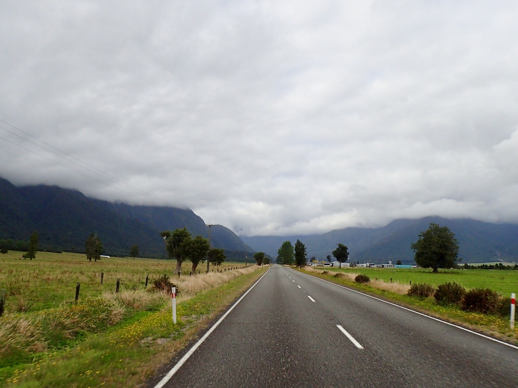
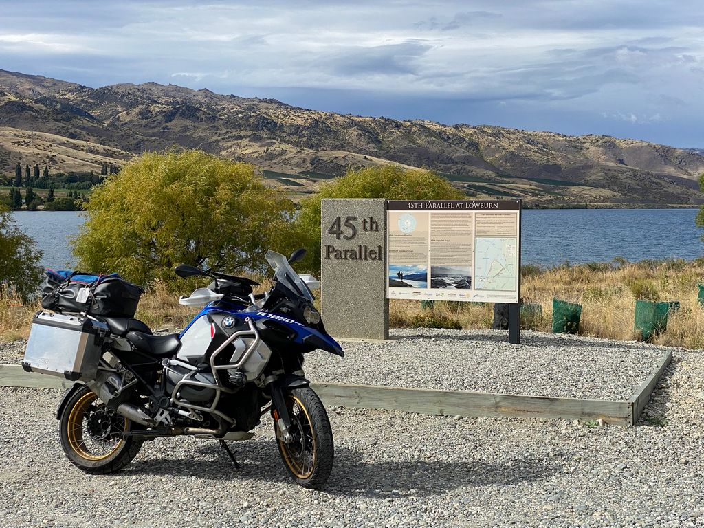
On Wednesday I left my apartment in Wānaka and rode down highways 6 and 8 to Cromwell, crossing the 45th parallel as I did so. There were lots of vineyards and orchards, just like the interior of B.C. When I turned off the main highway to Dunedin onto highway 85, the traffic dropped off even more and I enjoyed a quiet ride through rolling countryside. Passing through Omakau I hammered the brakes as a café jumped out at me, offering a cappuccino and raisin-cinnamon bun. Ah, life is good. Back on the road it wasn’t long until I passed a picnic site, and since it was noon, I thought I should stop to have crumpets for lunch. This turned out to be a good call as I didn’t see any other picnic sites all the way into Dunedin. In Dunedin I headed to the waterfront where I had a studio apartment booked at the Gregg Apartments. It was in a really funky restored warehouse/coffee roaster building from the 19th Century and the designers were incredibly creative with exposed brick, interesting spaces and exposed beams. The beams were a bit of a problem until after hitting my head for the third time, I learned to crouch down a bit. Thursday, I had a service scheduled for my motorbike at McIver & Veitch. The disadvantage of having your own bike instead of a rental is of course that I am responsible for the maintenance of the bike. As the tires were also getting close to the wear bars, I asked them to slap on a new set of Michelin Anakee Adventures while they were servicing the bike. While they were doing all that I walked over to a coffee shop and spent the morning editing an Insta360 video of the ride on the Forgotten World Highway. The video is pretty neat, but I think the editing is probably more work than I want to do on a regular basis. I picked up the bike after having lunch in the café and then rode over to the “world’s steepest residential street”, Baldwin Street. Too bad it was only open to local traffic, it would have been fun to ride up and down.I took a longer route than the 273 km to Dunedin mentioned here
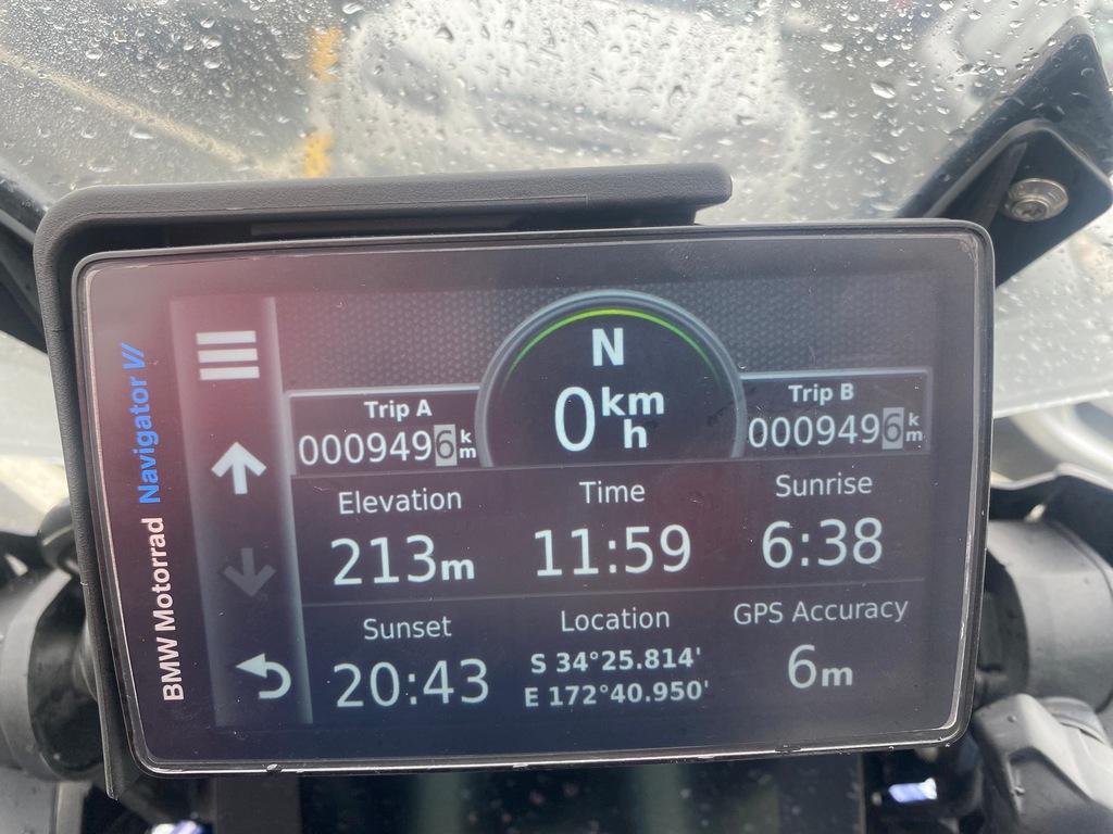
Half way between the Equator and the South Pole
It really feels like I have been transported to the Okanogan doesn't it?
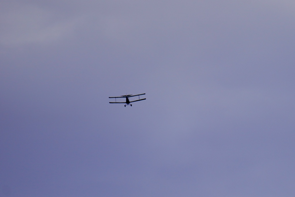
I stopped to change gloves and heard the sound of an airplane. I looked up and had a free airshow.
This café grabbed my front wheel and forced me to stop for a cappuccino
What to do when you're stuck behind a truck of beehives being transported? Duck behind the windshield and hope for the best.
Yes, the wind was blowing from the left today. Juding by the tree, that happens a lot.
Even though it was long after my cappuccino break I took advantage of a roadside picnic table to have lunch. Please pass the Nutella.
Outrunning a rain storm sweeping down from the hills
From an overpass I could see my apartments (I ended up with the unit at the top left)
Looks like a fancy place
I love the history!
Umm, OK, I am a pretty big person, probably counting for two. Should I take my luggage into the elevator too?
Wow, this is a pretty funky apartment
Nice views over the Dunedin harbour from the sitting room (watch the low beams though)
What a glorious railway station. Now being used for the famous tourist trains that depart from Dunedin.
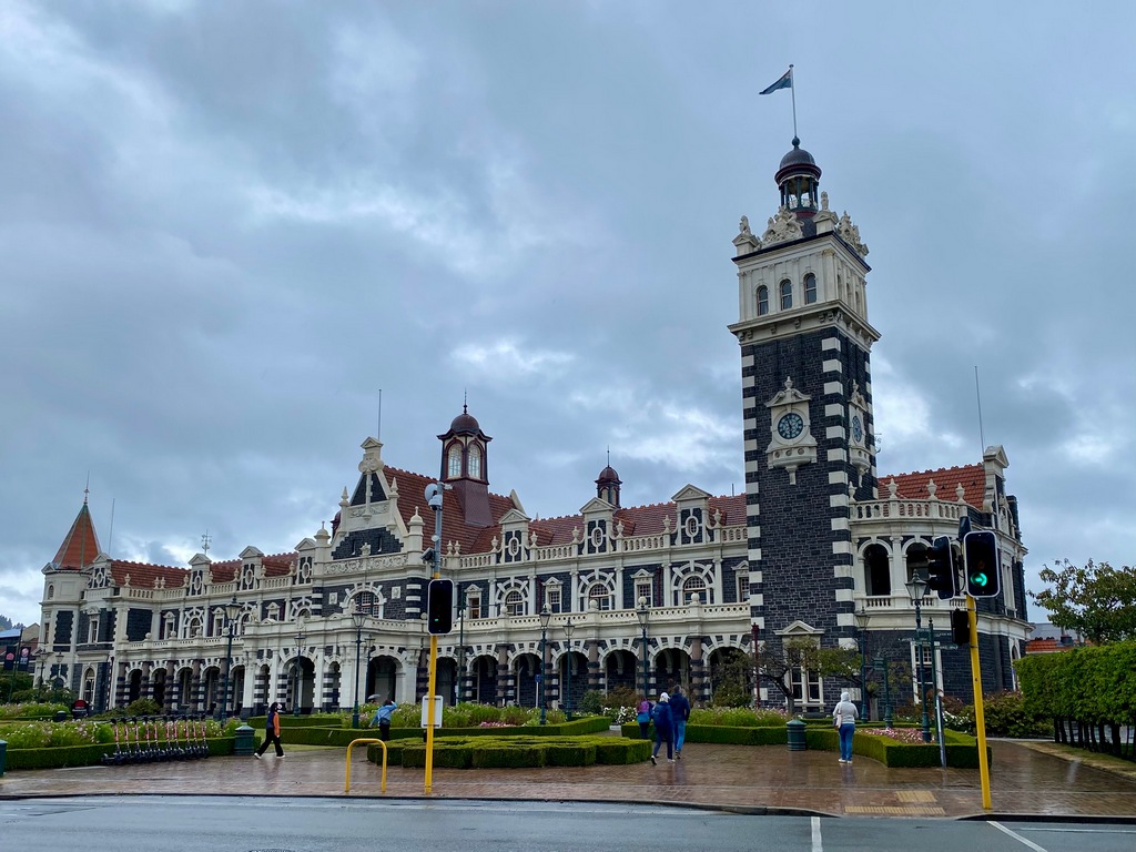
Across the street from the railway station is the courthouse and prison
Getting the bike serviced
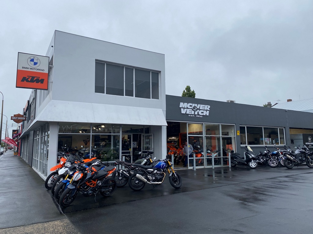
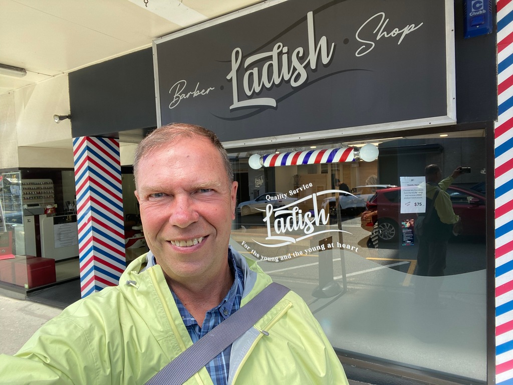
And getting my hair serviced
Baldwin Street is billed as the steepest street in the world
The video that I worked on all morning
February 21 – Dunedin
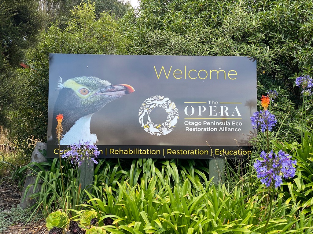
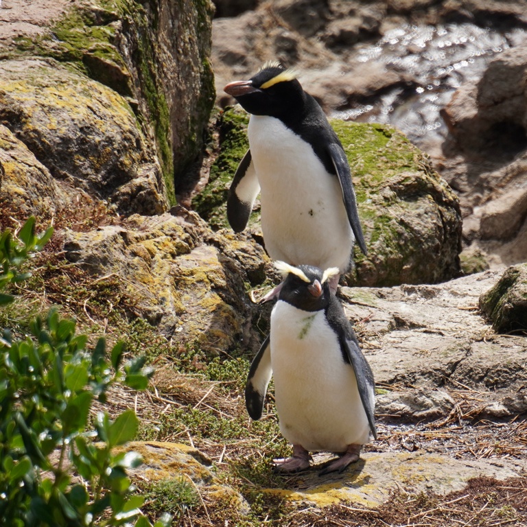
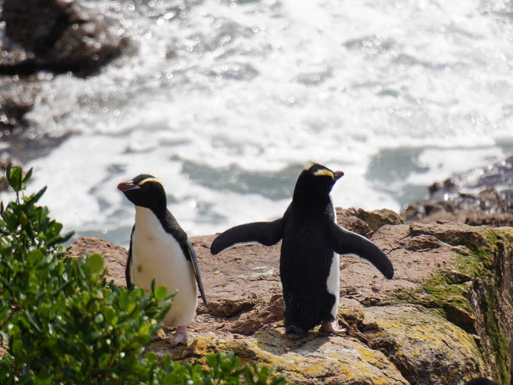
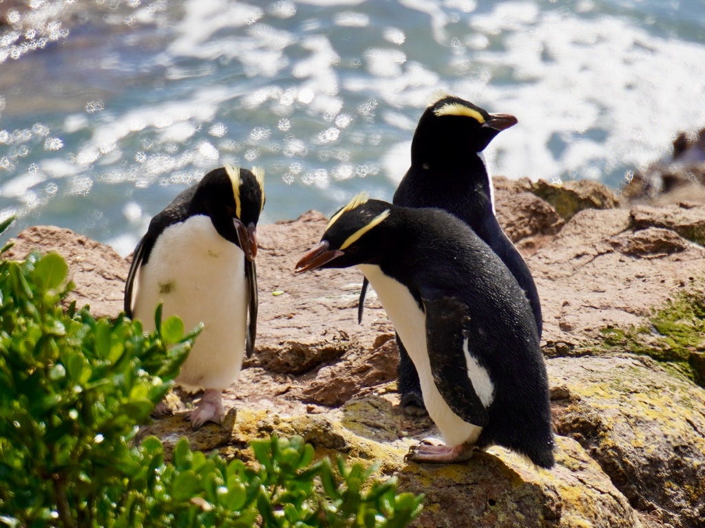
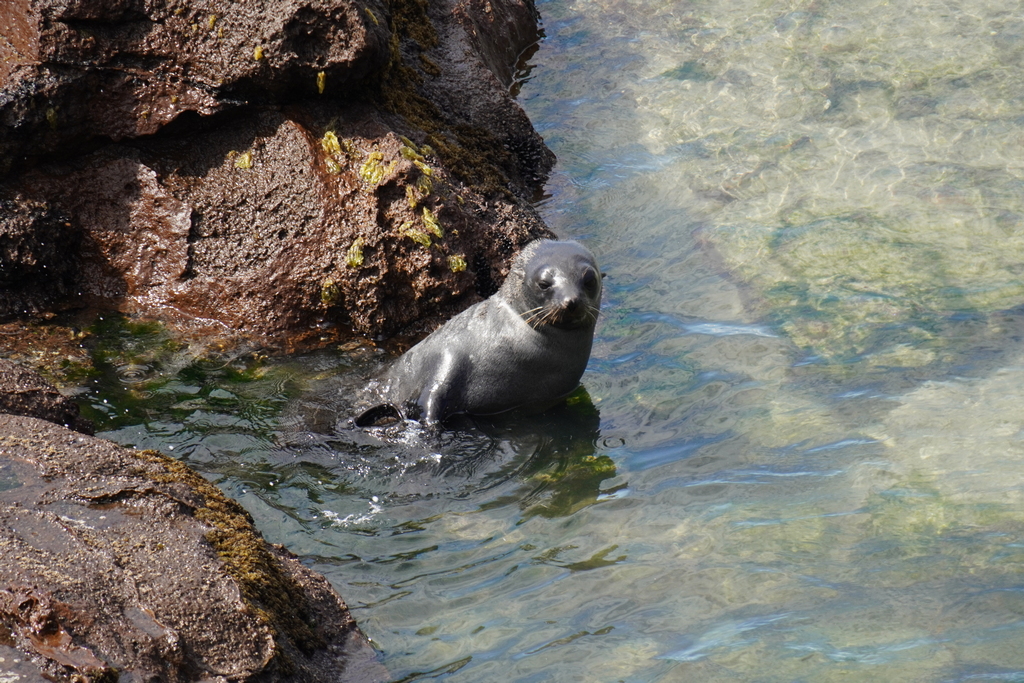
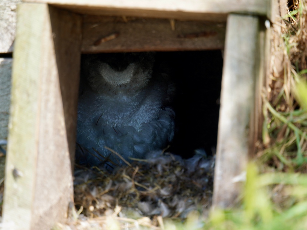
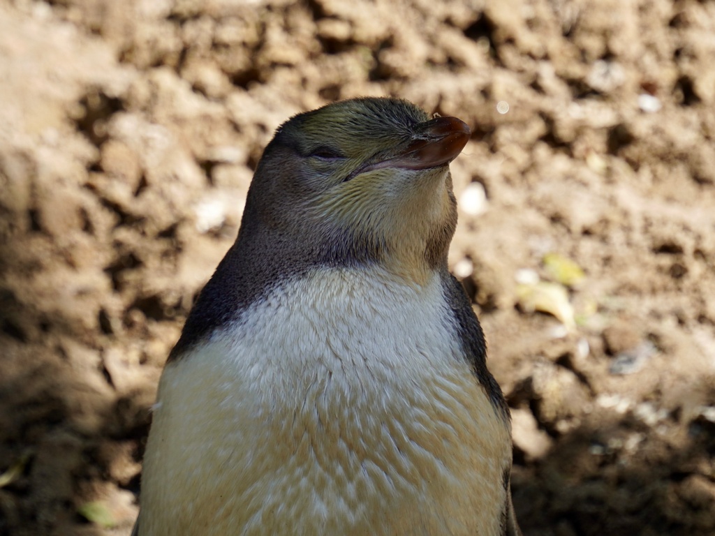
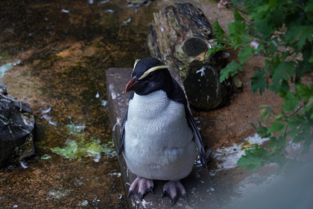
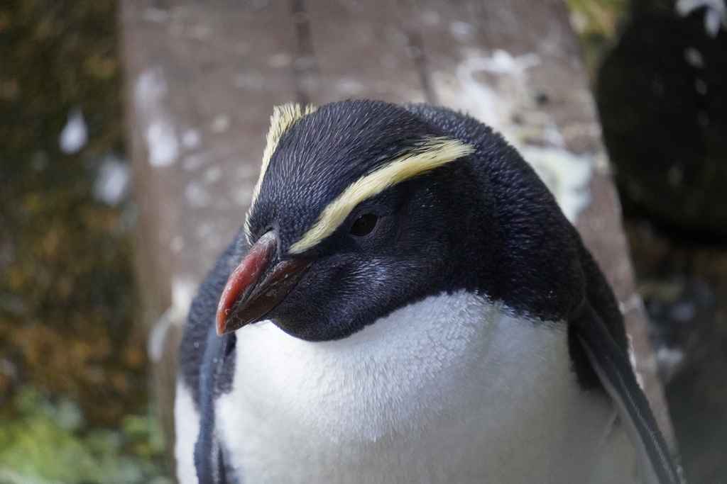
Penguins! I took a ride along the sparkling Otago Harbour to OPERA, the Otago Peninsula Eco Restoration Alliance. This former sheep station is a private conservation reserve working since 1985. My main reason for visiting was in the hopes of seeing penguins. I’ve seen penguins in South Africa, Chile and of course Antarctica so seeing them in New Zealand had been on my bucket list for a while. After an introductory video explaining their work, our small group piled into a van and drove for a few minutes to the other side of the peninsula. We walked (crouched for the taller visitors) through a “hide” where we could observe penguins without disturbing them. We were there during a critical time of year, when the moult is finishing, and the penguins haven’t been able to go out to sea for food in almost a month. So the hoiro (yellow-eyed penguin) we saw in the bush were not very active. Fortunately, when the walk continued to the seashore, we were lucky enough to spot a group of six crested penguins. They are normally a sub arctic bird but had been caught in New Zealand just as the moult started so had been trapped here for almost a month. They look very similar to the macaroni penguin in Antarctica (Remember Kevin, a macaroni penguin surrounded by thousands of chinstraps?) Back at the rehabilitation centre were two of the crested penguins (there were eight in total that came over to New Zealand) getting help through the moulting period. In another week or so they would be released with their buddies, and they could swim back home. After the tour I rode a bit further to the end of the peninsula and up a gravel track to Nature’s Wonder Café for lunch with a view. Riding back to Dunedin over the Highcliff Road afforded great views of both sides of the peninsula and down on to Dunedin. Dinner that evening was at Cobb & Co. in the old railway station (the Chicken Alexander was scrumptious) followed by a stroll to the Octagon for an ice cream.Riding over to the other side of Otego Harbour
Sparkling waters of the harbour
Fun road along the harbour
Portobello
Duck!
This beach is part of the OPERA reserve
Our tour guide seems to have found a faithful follower
Crested penguins!
Another week or so to finish the moult and they'll head home
Fur seals play in the pools
Shy blue penguins are in their nests during the moult
Young yellow-eyed penguin in the rehabiliation centre
Two of the 8 crested penguins are in rehab, waiting to join their buddies
Taiaroa Head at the northern tip of the Otega Peninsula
Nature’s Wonder Café for lunch with a view
Highcliff Road heading back
Great views from Highcliff Road
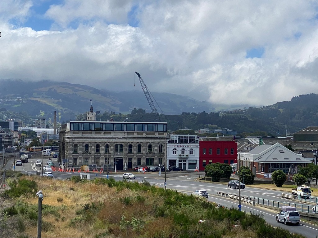
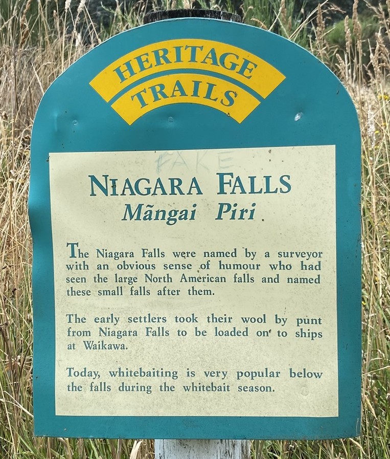
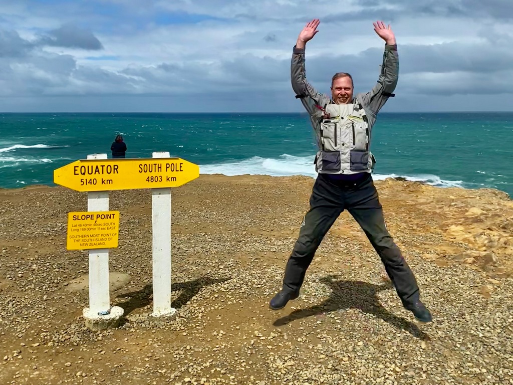
February 22 – Dunedin to Invercargill
As I was packing up, I knew it was time to depart when I whacked my head on a beam in the kitchen. Enough with the funky apartment built for short people. After I rode out of Dunedin, it had been threatening rain for a while so when I perceived the threat was imminent, I pulled off the road, in the shelter of some trees. The timing couldn’t have been better because as soon as I pulled out from behind the trees and onto the highway I was hit with the full brunt of the wind and rain. The rain continued on and off for the rest of the morning, though the wind didn’t let up. My destination for lunch was the Niagara Falls Café, just a short distance from Niagara Falls. Apparently, the falls (rapids really) were named by a surveyor with a sense of humour. The café had a fabulous seafood chowder that made a perfect meal so I’m not sure why I then had a big slice of carrot cake too, also large enough to be a meal. Oh well, I guess I can skip supper tonight. 20 kilometres along the coast from Niagara Falls was Slope Point, the southerly-most point on the South Island. If anything, the wind actually became even stronger here. At least it wasn't raining for the 15-minute breezy walk from the parking lot down to the sign showing the distance to the South Pole and the Equator. I had a fellow motorcyclist take my photo and a little later a woman asked me to take her photo. She handed me her phone in its wallet case and when I opened it, the wind ripped a $10 bill from the sleeve. In the blink of an eye, the wind sent it flying over the cliff into the Pacific Ocean. Uh oh. I was going to quip that this was an expensive photo, but she didn’t seem to be in the mood for quips. It was a bit of a somber ride to Invercargill and the Balmoral Motel. Here’s a tip for you, if you have your phone in a wallet case, don’t hand it to a total stranger on a windy day.Riding out of Dunedin
Sheltered by trees I change into my waterproofs
Just in time too
Patches of blue sky as I take the Scenic Southern Route
And back into the rain
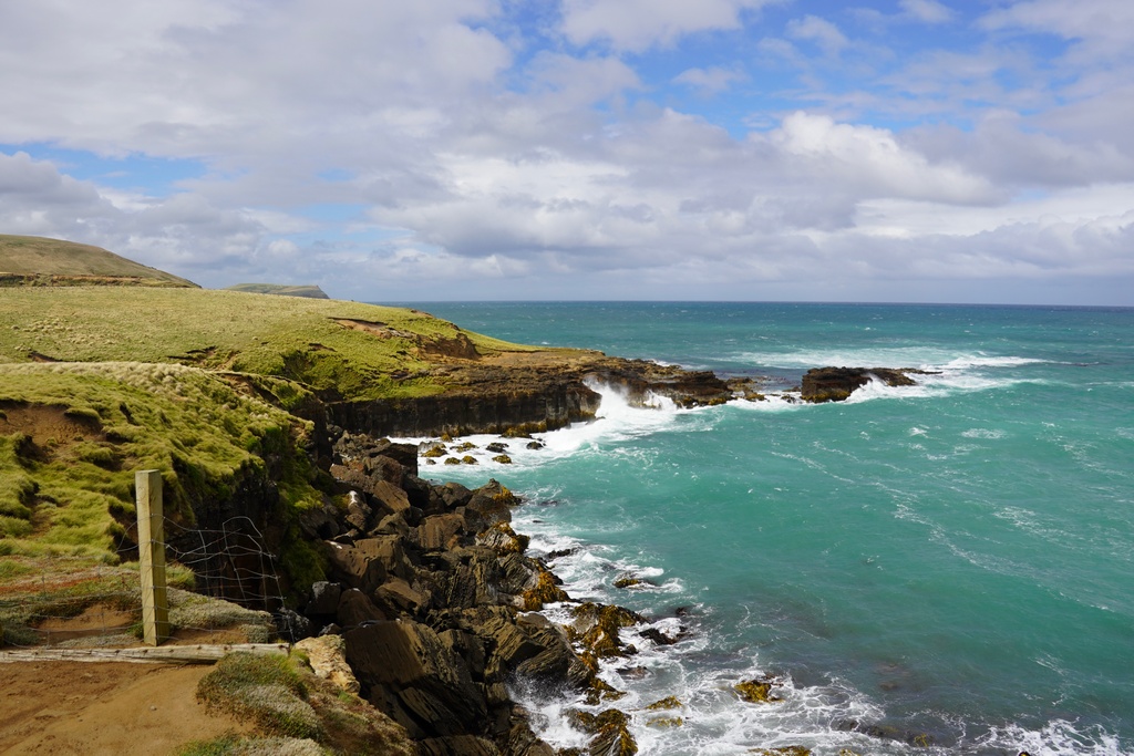
Riding through the rugged Catlins reminds me of the Scottish Highlands
Niagara Falls ummm
A photobombing cat
Really? It is going to get windier?
I guess it is pretty steady then
Parked at Slope Point
This is the furthest south I will ride. Straightline distance to Cape Reinga is about 1,400 km, how did I get 6,646 km?!?
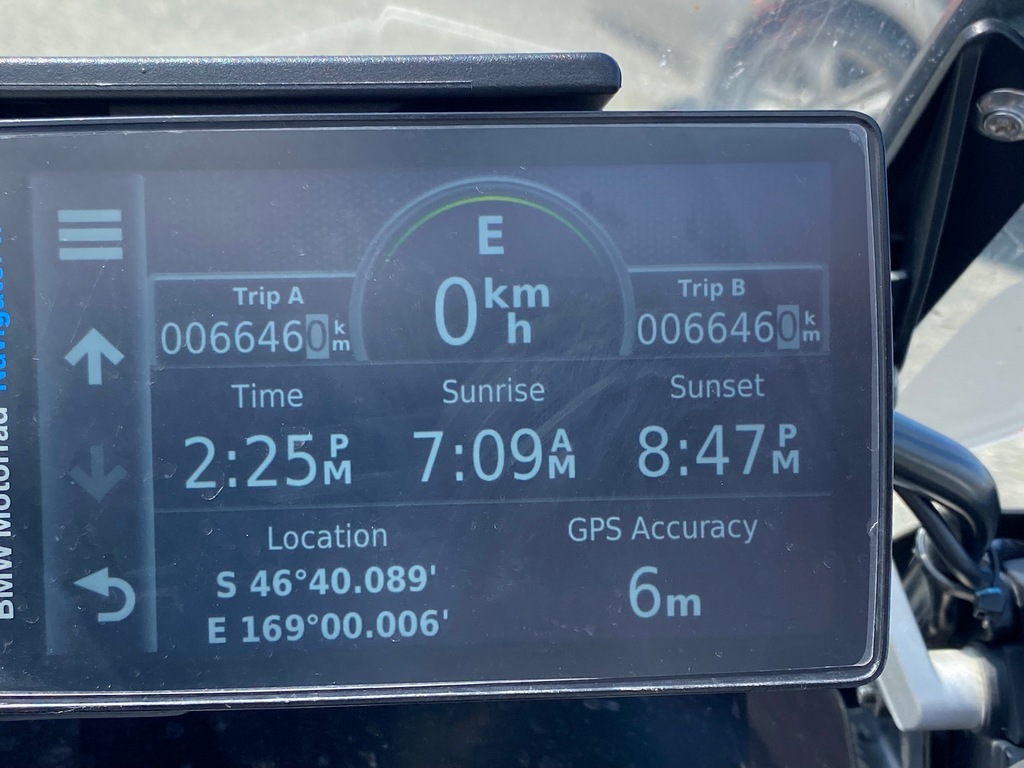
Here is the GPS at Cape Reinga for reference
Jump for joy!
The Pacific Ocean that swallowed a $10 bill
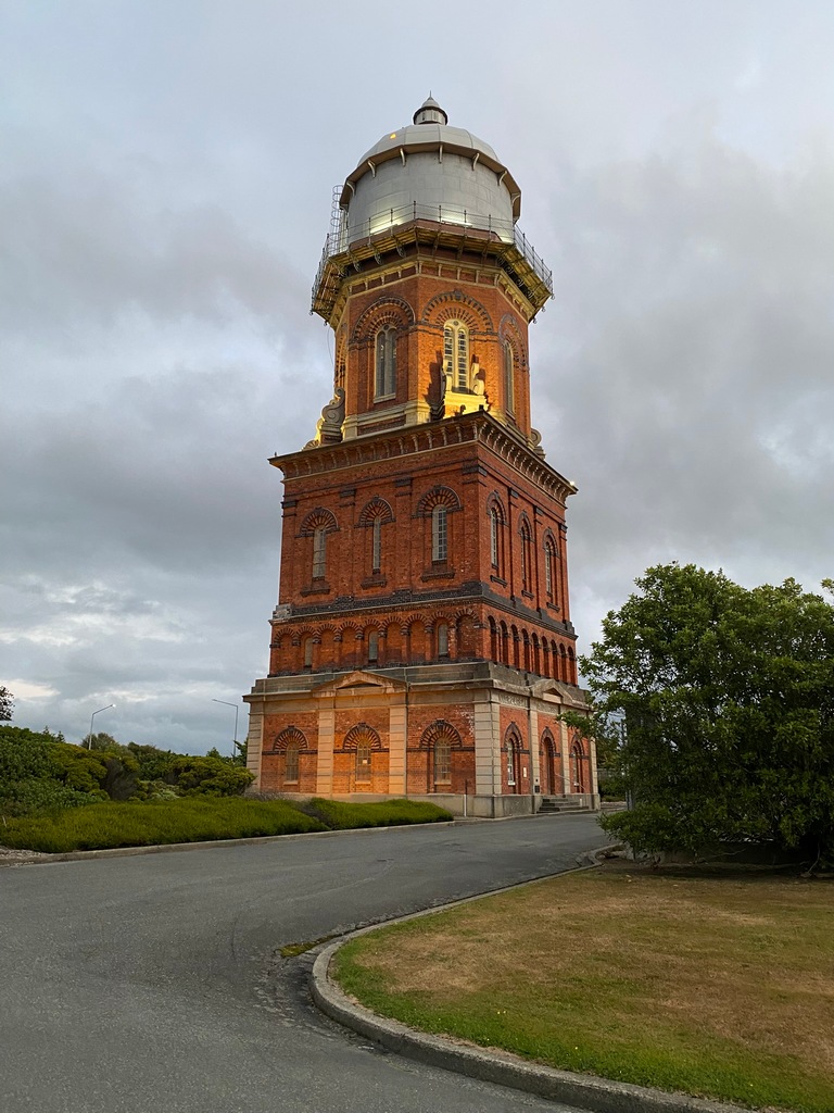
Walkng around Invercagill in the evening I come across a beautiful water tower
February 23 – Invercargill
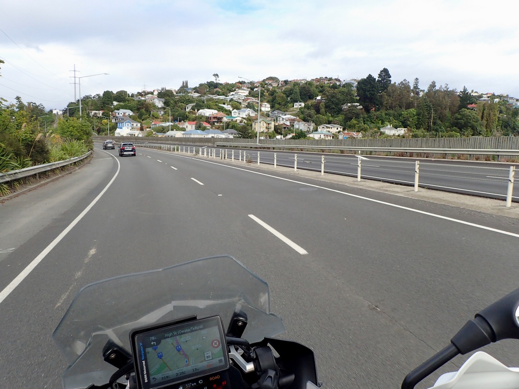
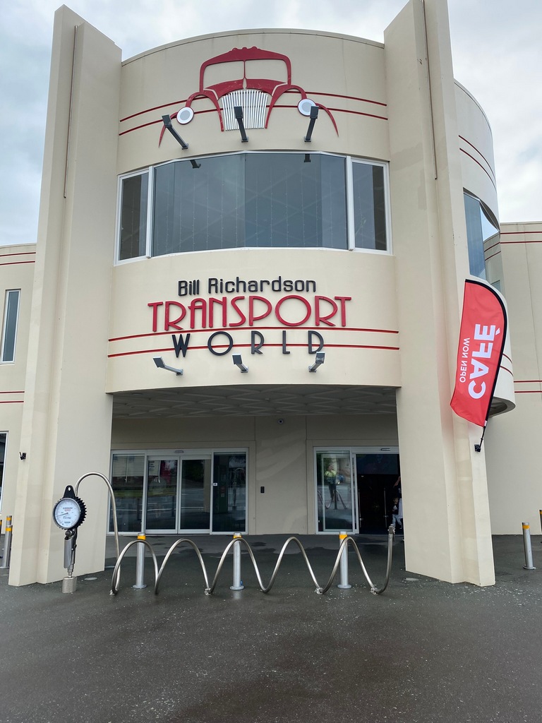
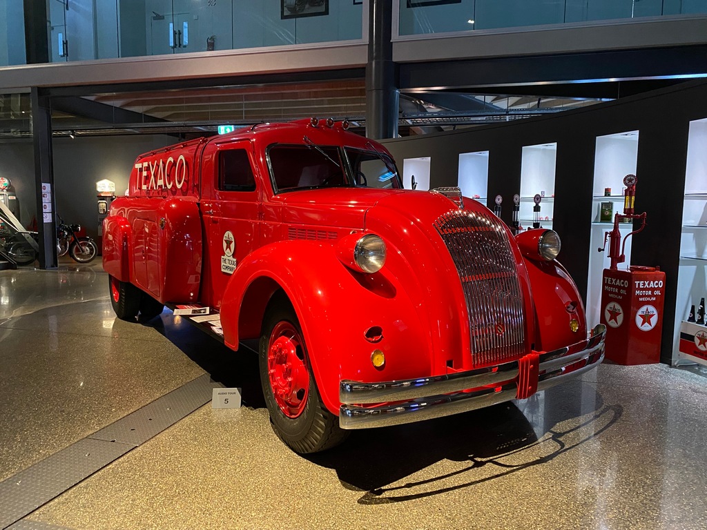
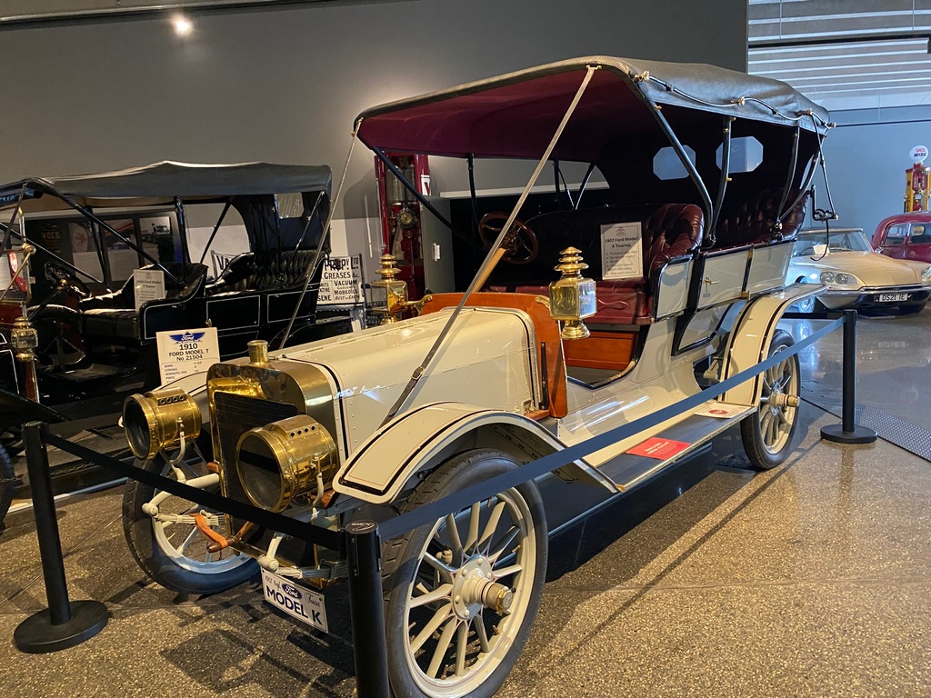
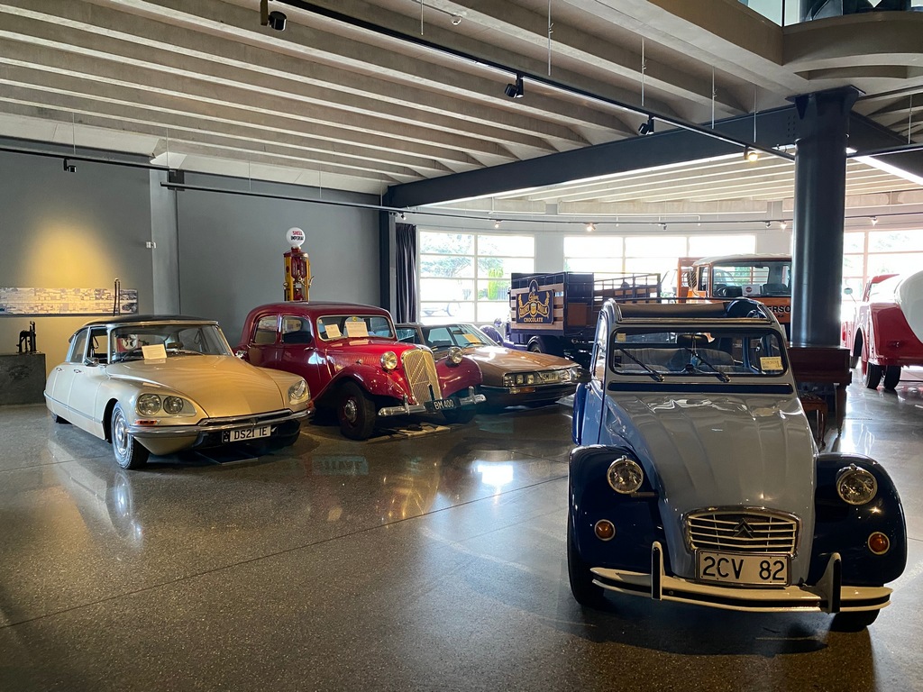
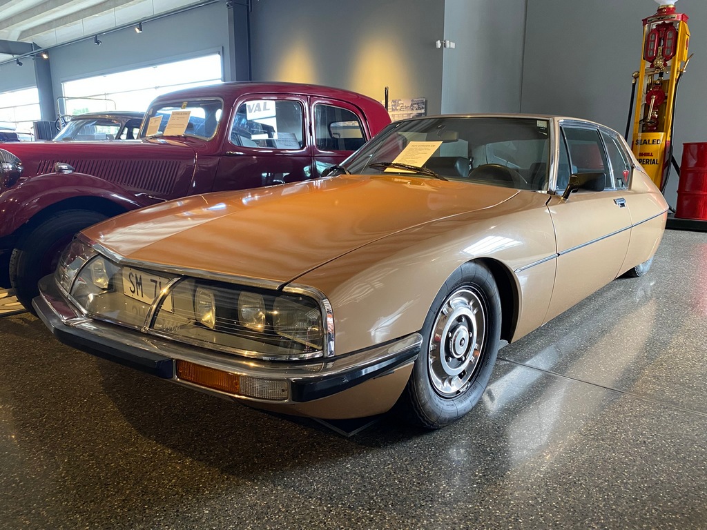
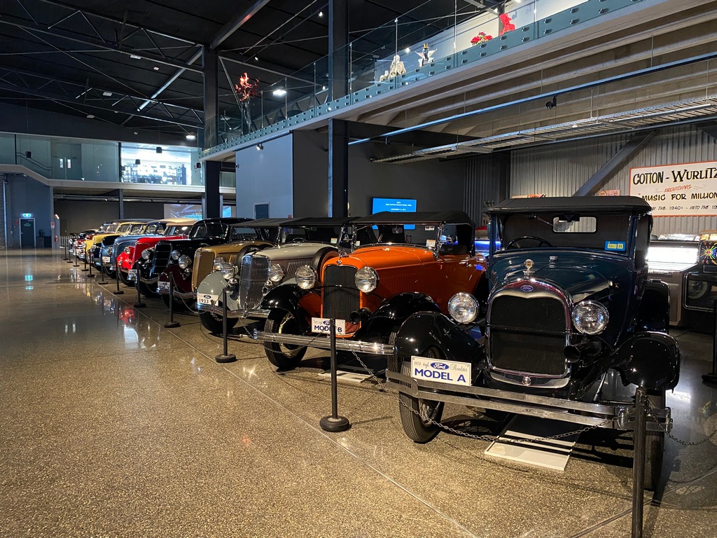
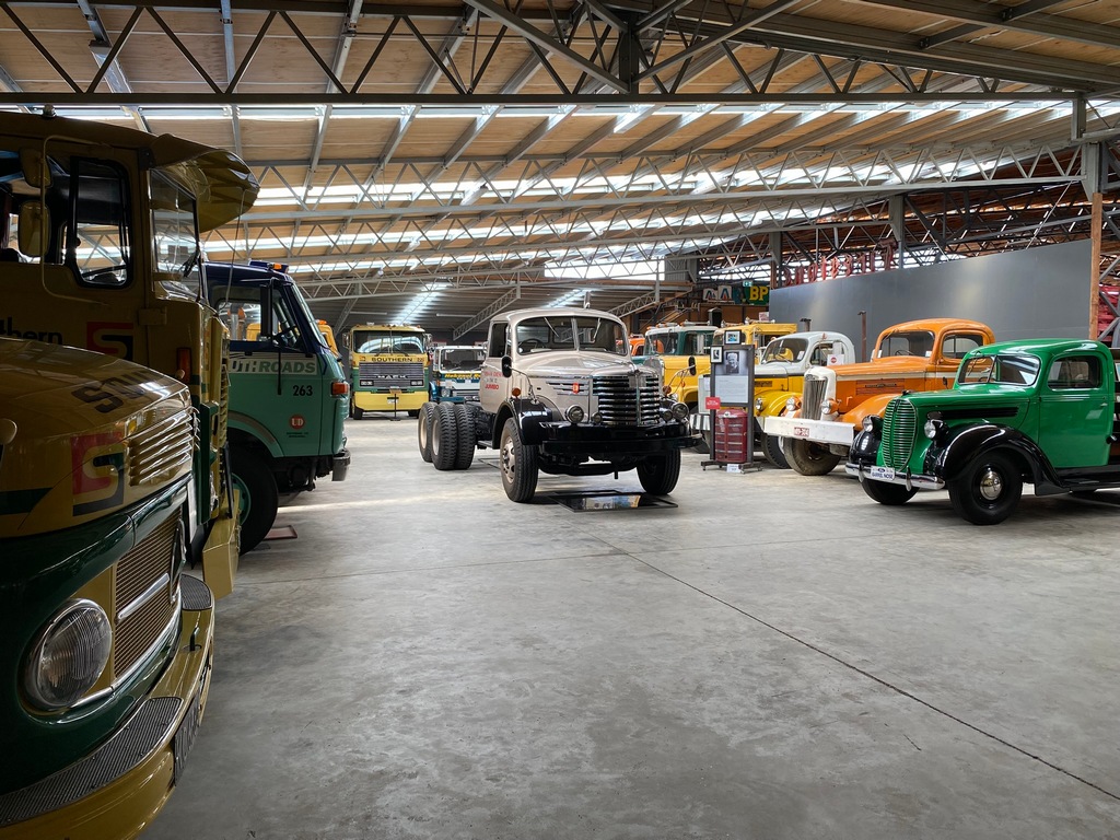
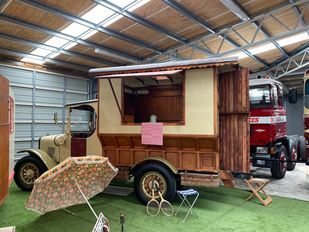
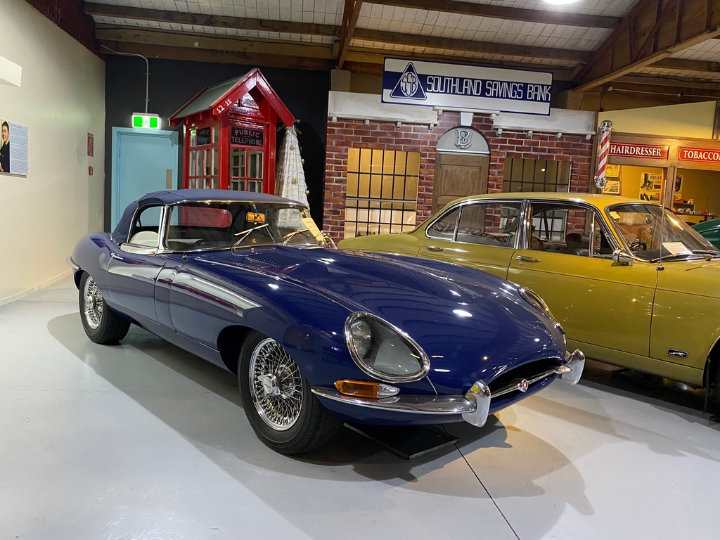
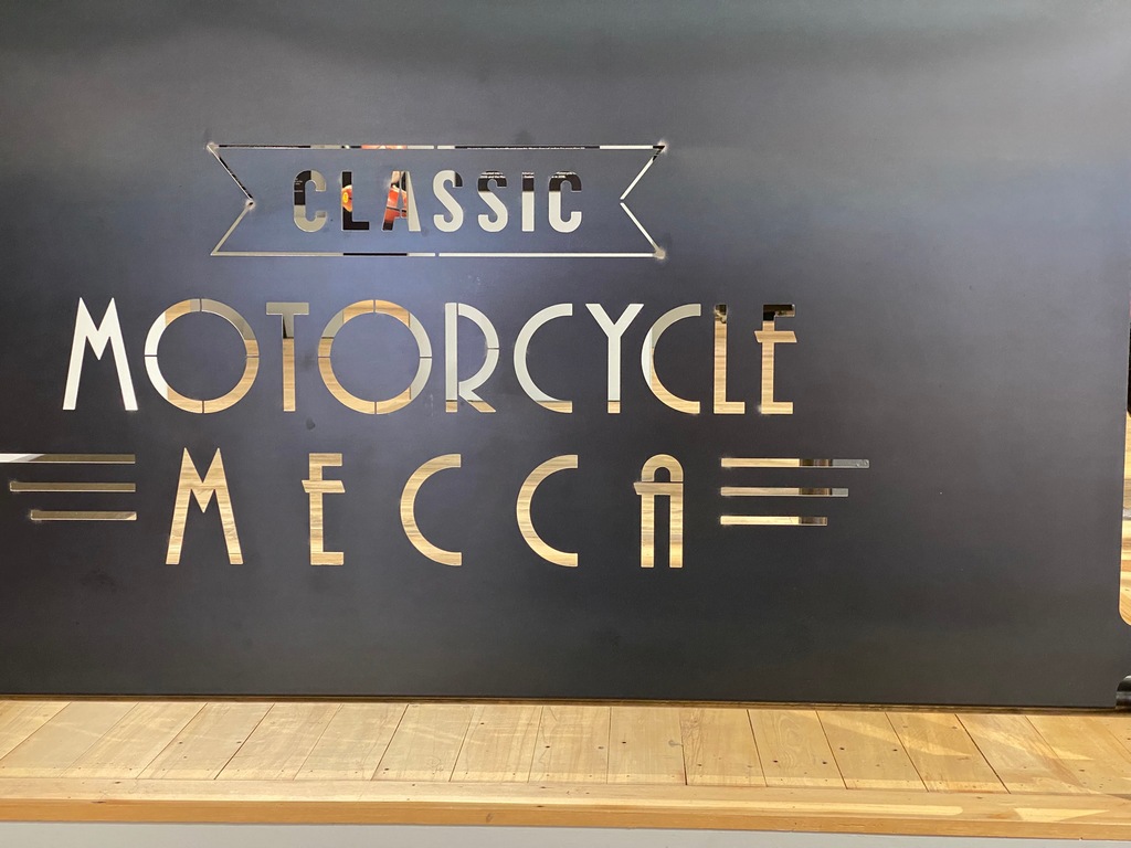
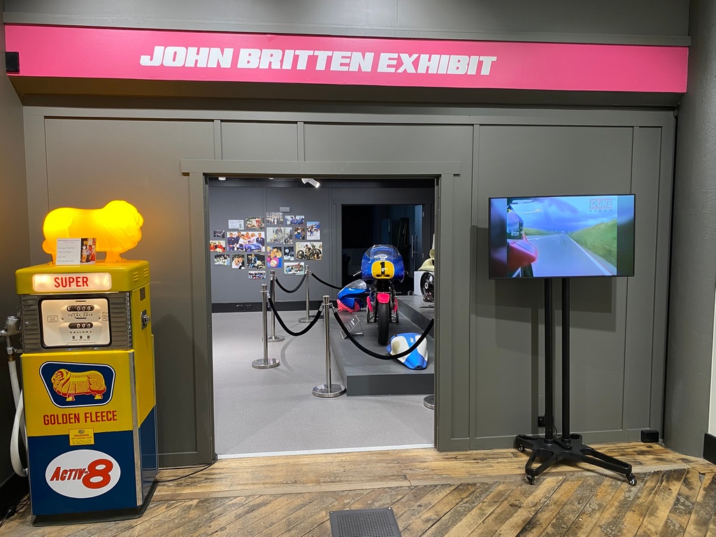
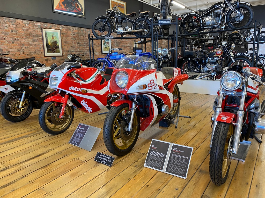
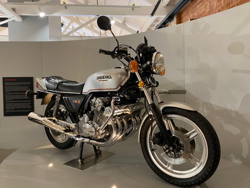
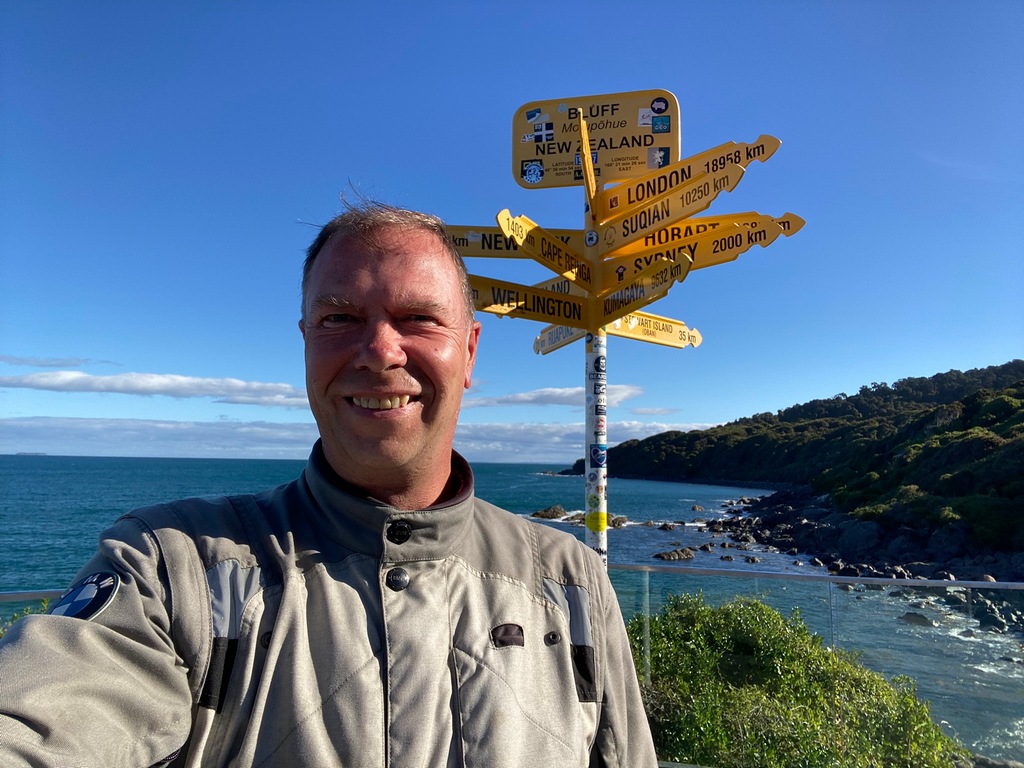
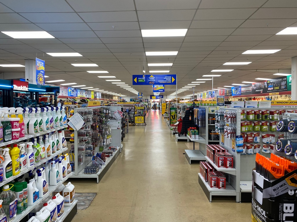
I made it to the end of Highway 1 in Bluff! But first, I had a couple of museums to visit. I walked a bit more than a kilometre from the motel to the Bill Richardson Transport World. This was an eclectic collection of automobiles in a series of “sheds” spread over an entire city block. Aside from an airing of The World’s Fastest Indian and a couple of motorcycles there wasn’t much in the way of motorbikes in the exhibit, and I later learned that Transport World also runs the Classic Motorcycle Mecca. It took a couple of hours to wander through all the different sheds, some featuring tractors, others featuring a line of Ford pickup trucks, and even a section devoted to jukeboxes. I had lunch at the American-themed diner (a chilli dog and a chocolate shake) then walked back past my motel to the Mecca. At least I am getting my steps in today. Wow, the Motorcycle Mecca is much larger than I anticipated. First up was a Britten display. You’ll recall I had seen a Britten in the National Museum in Wellington, but this bike wasn’t behind glass like the one at Te Papa, so I could get a better look at the engineering that went into this bike. There were displays of some of his other works, but I really liked the documentary about the V1000 that was being screened. I watched for about half an hour as it documented the lead up to the 1992 Daytona Battle of the Twins race. Amazing stuff really. Just like Transport World, there were way more bikes here than I thought there would be. They were displayed over two floors plus a basement level. Everything from a 1902 Motosacoche to a 1979 Honda CBX was here and even a number of BMWs. Each and every one seemed like it was perfectly restored. I can’t imagine the work that would have been involved to put them all on display like this. I was so exhausted thinking of the amount of work involved that I had to go across the street to a café for a cappuccino. By the time I finished that and walked up to the E. Hayes hardware store to check out the actual “World’s Fastest Indian” they were closed for the day. I strolled back to the Balmoral motel via Queenspark, a huge park in the city with everything from playgrounds to rose gardens. A quick 30 minute motorcycle ride took me to the end of Highway 1 in Bluff. That’s it. I have completed the Cape Reinga to Bluff ride. From here on I will be heading back north, finishing up in Auckland at the end of March. There is still lots to see and I am looking forward to exploring more of New Zealand!
Even a French car collection (love the DS21)
The Citroen SM
John Britten (of motorcycle fame, see below) built his own camper in the early 1970s based on a 1926 International chassis
The British car section
OK, enough cars, let's check out the bikes!
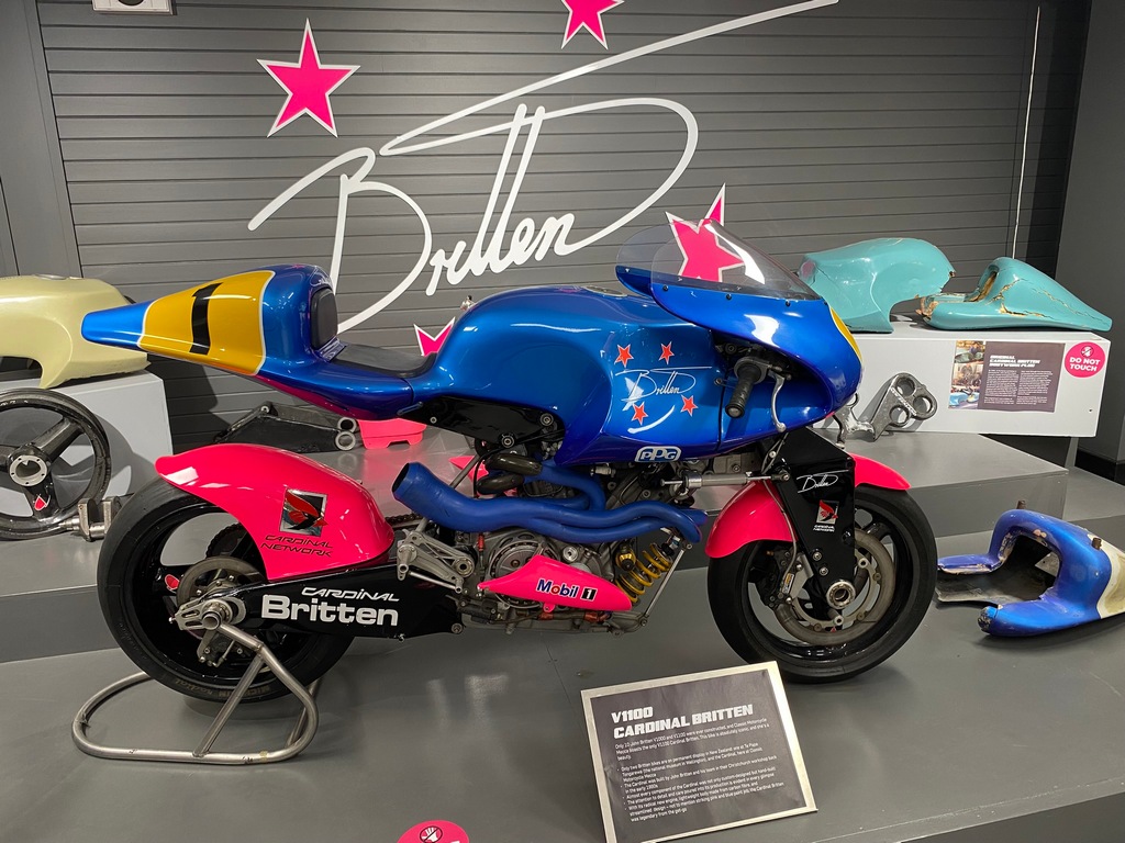
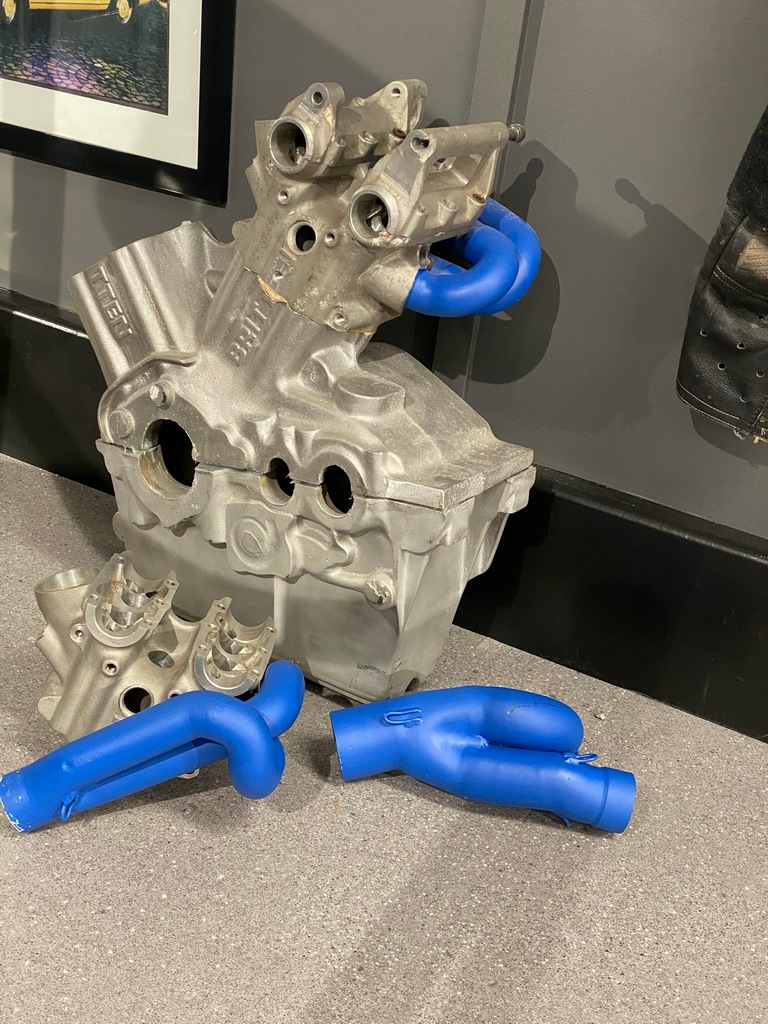
The world's largest Britten exhibit
Amazing
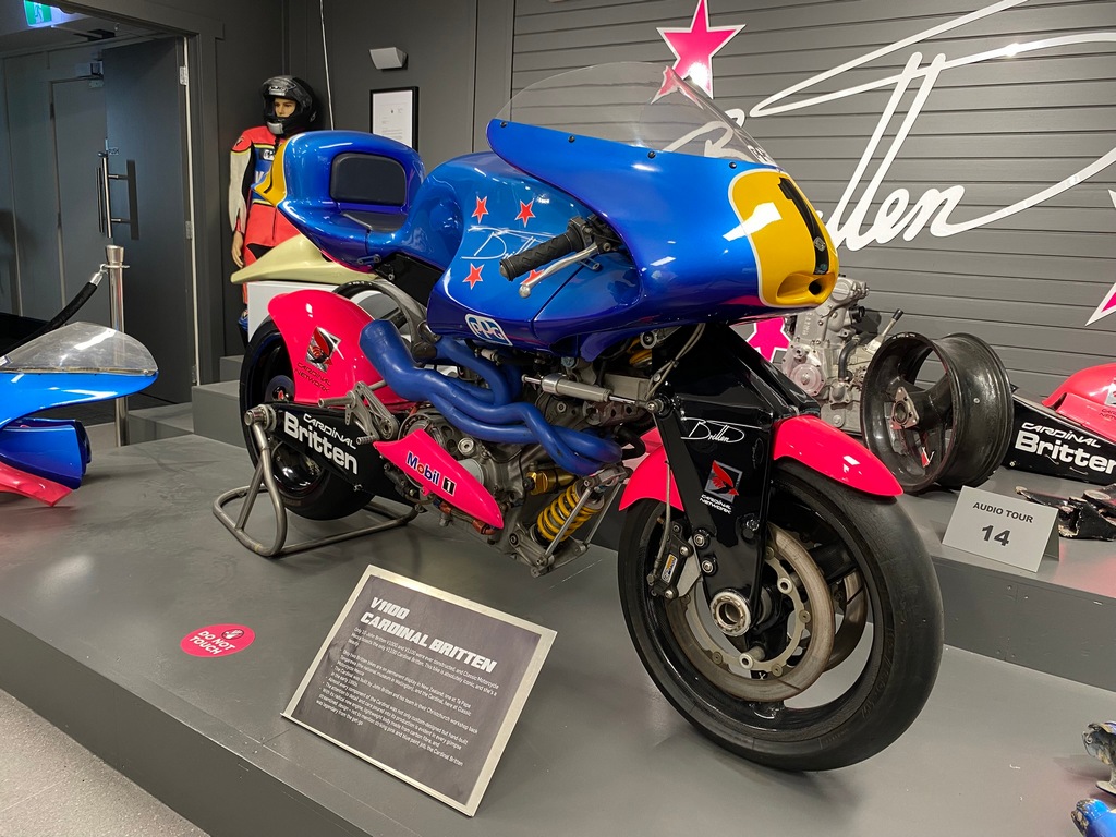
The shock absorber under the exhaust is for the rear wheel
Various parts on display
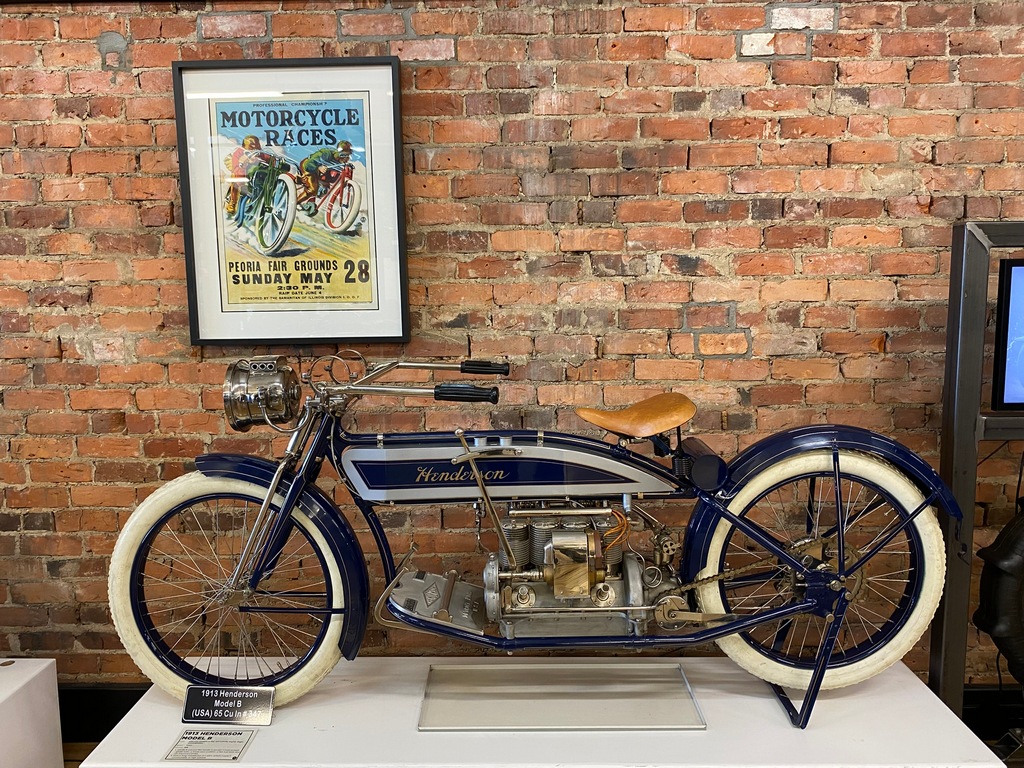
1913 Henderson
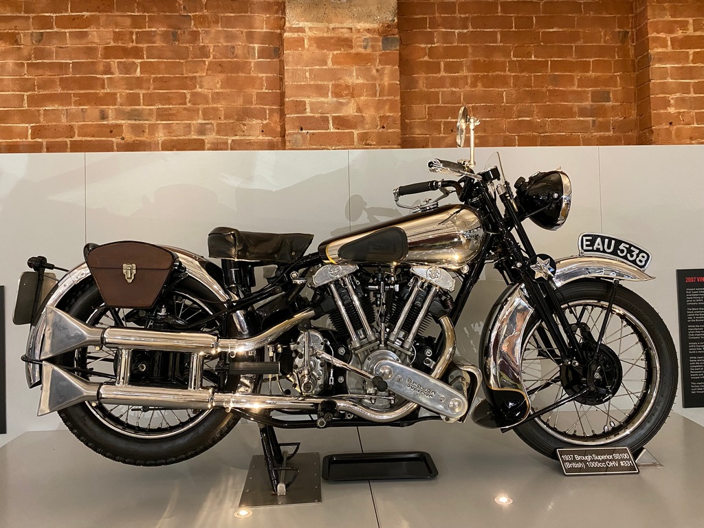
1937 Brough Superior (like Lawrence of Arabia rode)
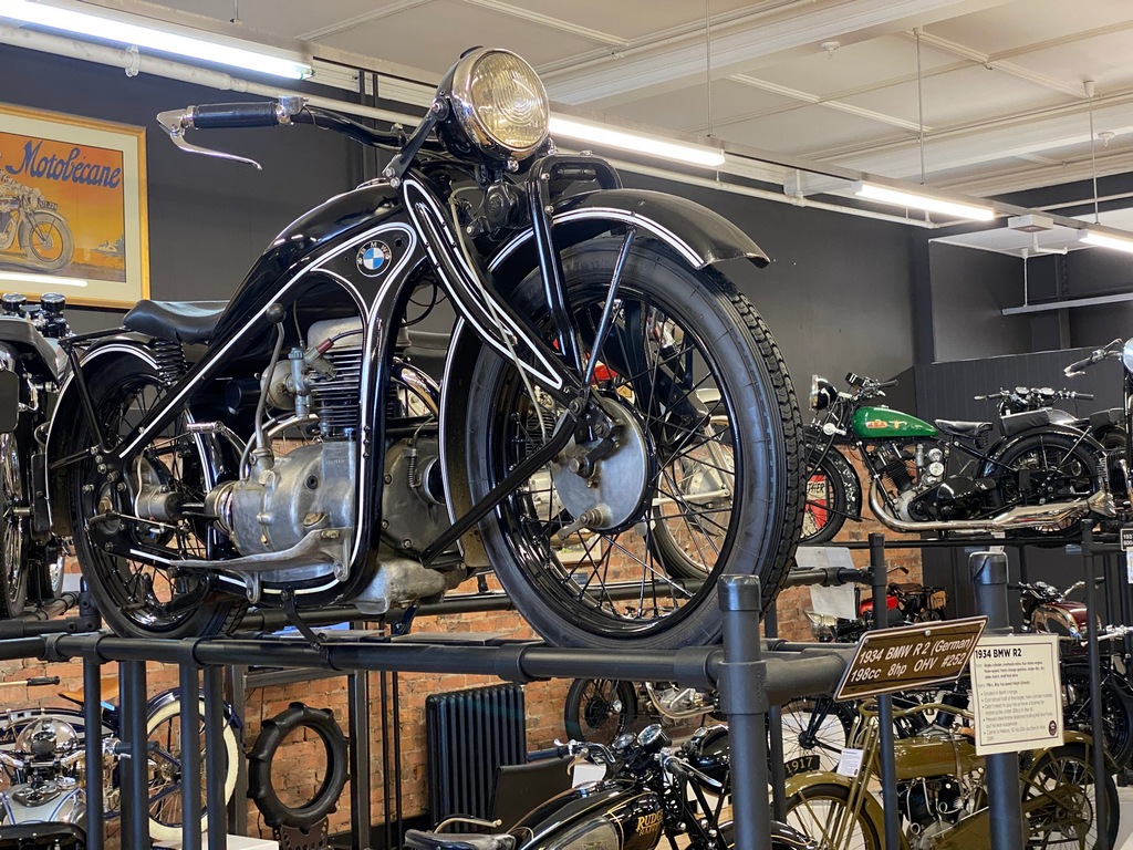
1934 BMW R2
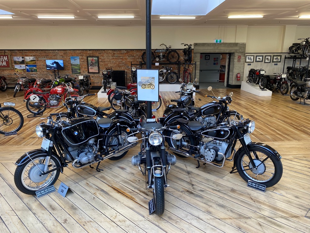
Nice collection of BMWs
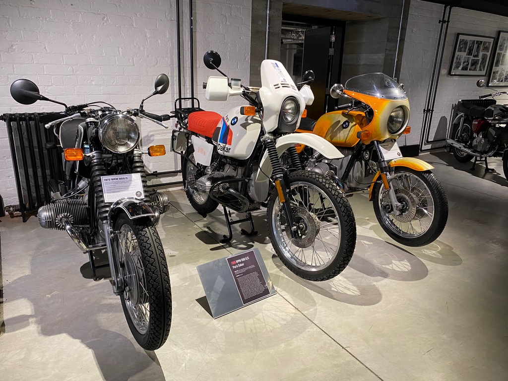
The white R80G/S is only a few years older than my R100GS at home though mine won't be going into a museum anytime soon.
Love Bimota!
Ever hear a six cylinder Honda CBX at full chat? Aural heaven!
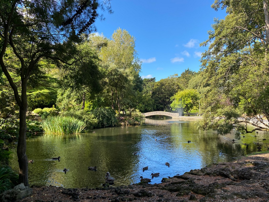
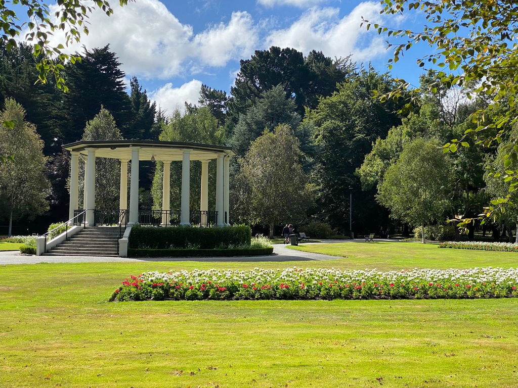
A walk through the large Queens Park
Enough dillydallying with the museums, let's go to the end of the road!
Cape Reinga to Bluff!
Wait a minute. That doesn't look right. Let me find the Cape Reinga sign...
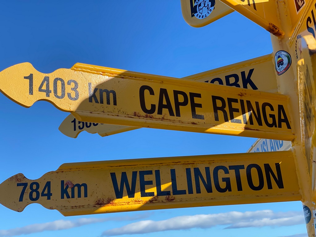
Why is it 49 kilometres further southbound?

Tracks for Chapter 4
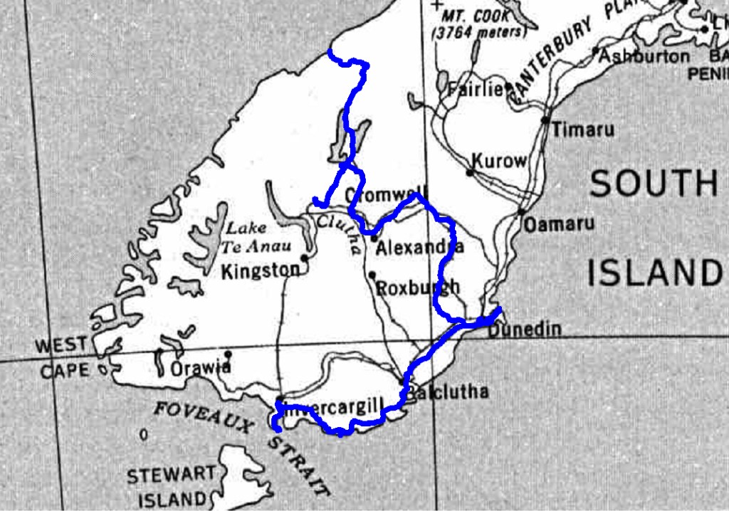
South Island Tracks
Chapter 5: Heading North
Chapter 5: Heading North
February 24 – Invercargill to Wānaka
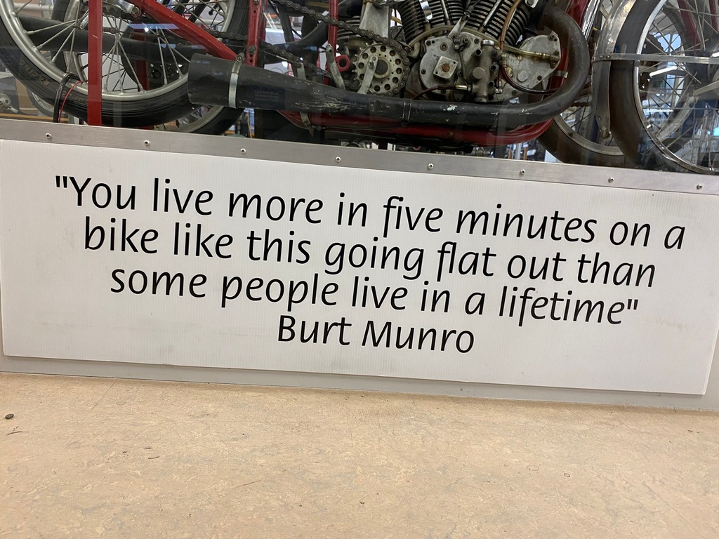
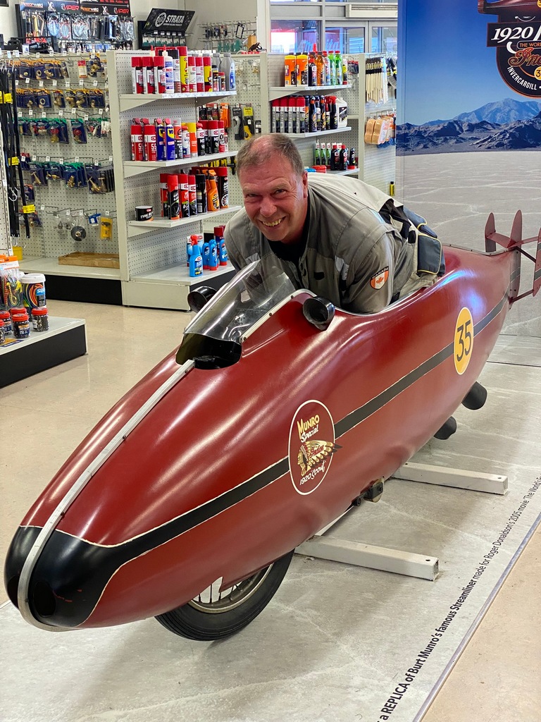
So, it turns out that despite New Zealand being a mecca for speed with the likes of Burt Munro and John Britten, the police take a dim view of speeding. I started the next chapter of my New Zealand ride (having made it to the southern tip in the last chapter) by visiting the E Hayes Hardware store in Invercargill. They have an interesting collection of motorbikes, including of course, Burt Munro's record winning bike, also known as the World's Fastest Indian. Near Burt's actual motorbikes was a mockup of the streamliner. Apparently, you can get in it so I squeezed in (Burt must have been a lot smaller) and had my photo taken. It was even more of a struggle getting out. As accommodation in Te Anau was not available until the 27th, the plan for today was to ride back to Wānaka to spend a couple of days. I still wanted to ride the coast road from Invercargill to Te Anau so made a bit of a detour and had a picnic lunch on the lake in Te Anau. After battling head and crosswinds for the last few days it was a pleasure to turn north and have a tailwind. On a long clear stretch, I even did a bit of a Burt Munro impression, zipping the BMW up to a fairly high (and undisclosed) speed. After that, I settled in to enjoy the quiet ride with the tailwind. Suddenly a police car coming the other way switched on its flashing lights and did a U-turn. Uh oh. The officer scribbled down the information from my driver's licence on a notepad and asked for my email address. Then said I would receive the $80 ticket in an email. Well, that didn’t seem very official but it sure was efficient as I was soon on my way, with the cruise control firmly set to the speed limit. That evening in Wānaka I did receive an email from the police officer with the official infringement notice and instructions on how to pay the fee online. Quick and easy.E Hayes Hardware store in Invercargill
The store has a great collection of motorbikes including Burt Munro's record holding bike
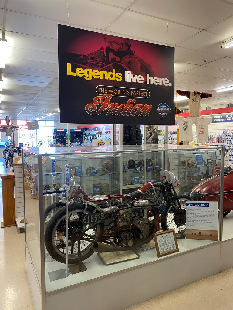
There is a mockup of the streamliner you can get in. If you fit.
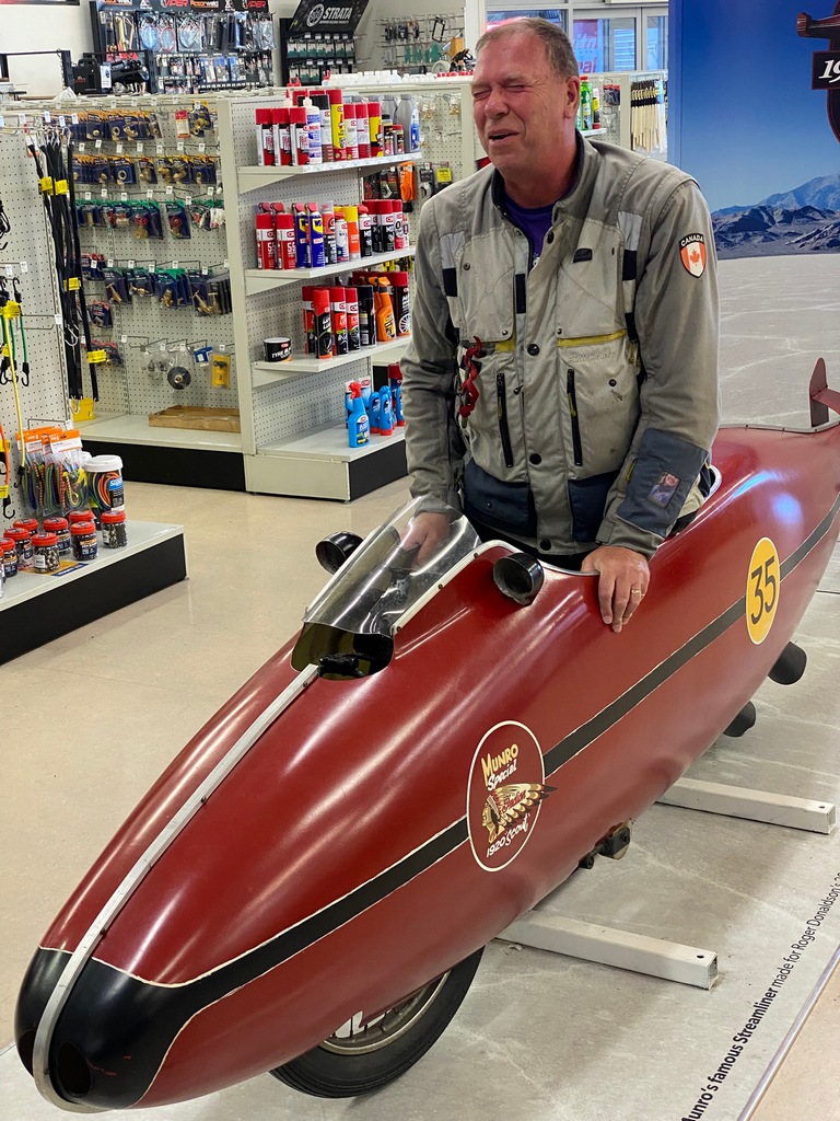
I fit! Well almost...
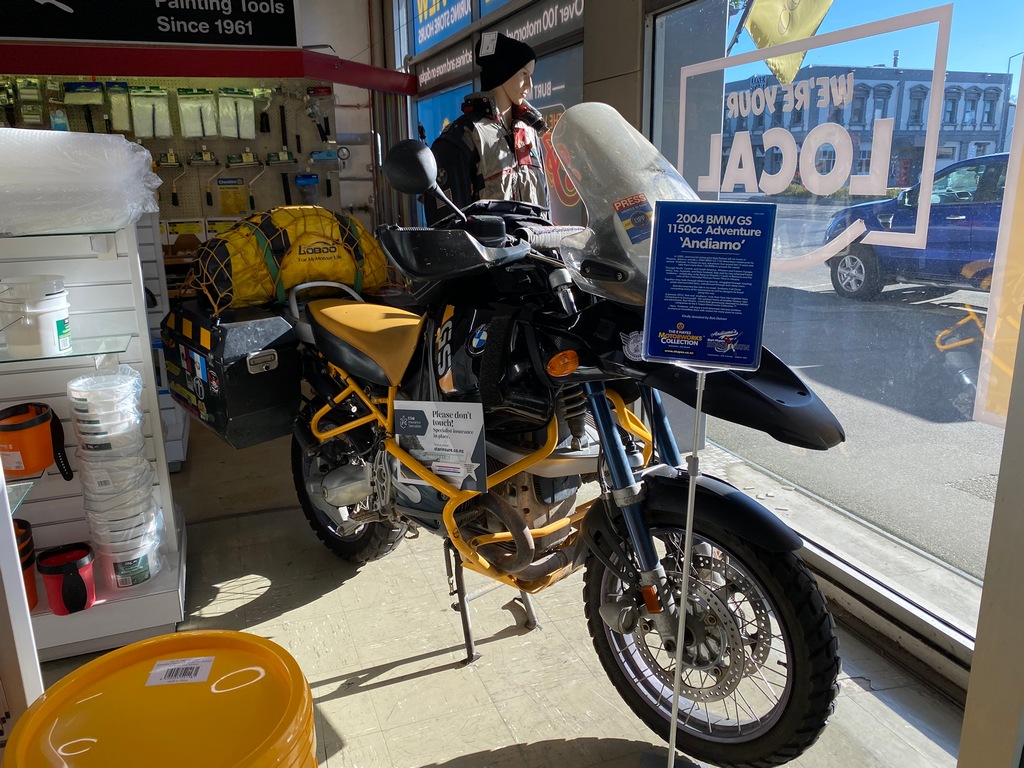
My favourite bike on display: an R1150GSA like I used to own that has gone around the world
Taking the coastal route to Te Anau
Break at a coffee van
Clifden suspension bridge over the Waiau was more impressive before the river was dammed
Picnic in Te Anau
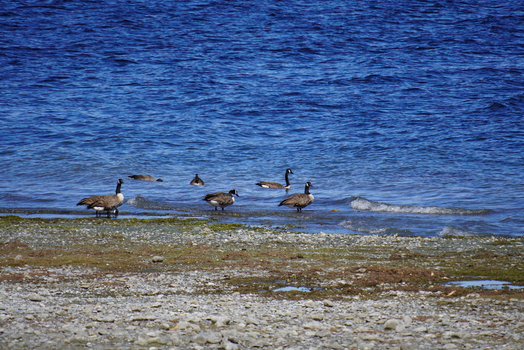
What the heck?!? Canada Geese were introduced to New Zealand as game birds for hunting
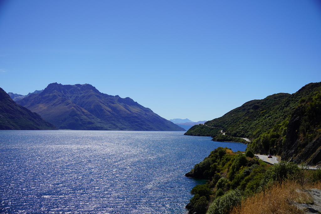
Riding along Lake Waikatipu towards Queenstown and on to Wānaka
February 25 - Wānaka
So here we are, the fourth birthday without Audrey. We had always planned something interesting for Audrey’s birthday when we were travelling, like exploring Marrakech or taking a balloon flight over the Serengeti. After Audrey passed away I continued the tradition by watching the sun rise over Tikal from Temple IV on 25 February 2022. This year I had planned to do some cool activities in Milford Sound on the 25th but alas I couldn’t find any accommodation in the neighbourhood on the date. I did find a hotel in Te Anau for the 27th to March 1st so I just needed to find a place for a couple of days. It turns out that the apartment in Wānaka was the best bet for those days. So today is not the real birthday celebration, that will be on 28 February. It was raining in the morning so I did some work on the website and then when the weather cleared up in the afternoon I rode over to Coronet Peak, a ski resort between Arrowtown and Queenstown. The road was recommended in Mike Hyde’s Twisting Throttle book and as a bonus I got to do the Crown Range Road again. It was indeed a great ride to the top, with lovely sweeping curves and spectacular views. For something different I took Highway 6 back to Wānaka instead of the Crown Range Road and the road down to Cromwell was nice through a rocky canyon.A wet morning is good for working on the website
The view from Coronet Peak ski resort
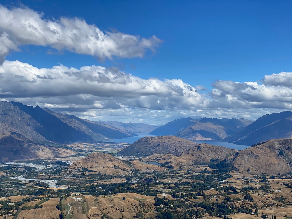
Riding back down
Kawarau Bridge is the birthplace of commercial bungy jumping (started in 1988)
Coronet Peak Ride on Audrey's Birthday
February 26 – Wānaka
I rode my motorcycle into Wānaka from Albert Town to Outside Sports where I had booked an eBike for four hours. I stuffed all the gear into the saddlebags and picked up my eBike at 10:15, so I had to be back at 2:15. I rode down to the lakeshore and then followed the shore all the way to the start of the Clutha River (Lake Wānaka is the headwaters of the Clutha which ends up in the Pacific south of Dunedin) where I turned downstream back to Albert Town. I crossed the highway near my apartment and started the Newcastle Track on the other side. It was tempting to ride across the narrow suspension bridge at the start of the track, but as you’ll know I am not a big fan of suspension bridges, so I walked my bike across. The track paralleled the river on a high bank, changing from a two-track road to single track. When I was about 1.5 hours into my ride I had a look at the map to see if I could make it to the end of the Newcastle Track at a car park and still return the bike on time. I thought it would be close so rode quickly, bouncing off the eBike’s speed limiter of 30 km/h. Well, it wasn’t that close as I skidded into the gravel parking lot at 12:30. I guess I have 1:45 to ride back what took me 2:15 to come out. I knew I could take a shortcut at Albert Town if I needed to, but I hustled it back, spending even more time on the limiter. At Albert Town I thought I should be able to do it so kept on riding the way I had come, all the way around the peninsula. I arrived at Outside Sports at exactly 2:15, just a little out of breath. Who says eBike riders aren’t getting their exercise? I had covered 52 kilometres of mountain biking track in four hours and had had a good workout. I was sore and beat, but what fun!
Relive video of the ride back to Wānaka
Start of the ride
I think I'll walk it across
Single track above the Clutha River
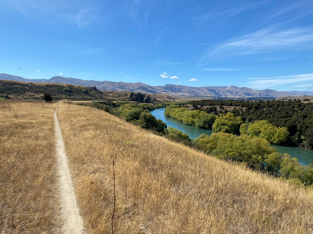
Back at Wānaka
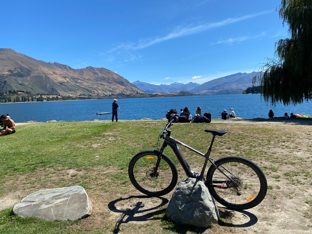
February 27 – Wānaka to Te Anau
On Thursday I rode down the Crown Range Road (for the fourth time?!?) to Queenstown. I wanted to ride out to Glenorchy at the far end of Lake Wakatipu but the last time I was in Queenstown (when doing the Coronet Peak ride) the traffic was so bad I had turned around and gone home. This time, while it was slow going through Queenstown, I persevered and popped out the other side. The ride along the lake was fantastic, with sweeping curves and snow-capped mountains in the distance, well worth the effort of going through Queenstown. A cappuccino and a passionfruit cheesecake at Mrs. Glen’s café in Glenorchy and then I retraced my tracks back to Queenstown. From Queenstown it was familiar territory back to Te Anau with the cruise control locked into the speed limit so as to avoid the same fate as the last time I rode this route. At Jimmy Cook’s Kiwi Kitchen, I had a chicken schnitzel (schnitzels should be veal or pork in my opinion but hey) and the most amazing dessert. The Pavlova is named after the Russian ballerina who toured Australia and New Zealand in the early 20th Century. There is a bit of controversy as to where this meringue creation originated but being in New Zealand I sided with the Kiwis and not the Aussies on this issue. For sure, this cake-shaped block of baked meringue with its crispy exterior and soft, fluffy interior was delicious. No controversy there.Out of Queenstown at last
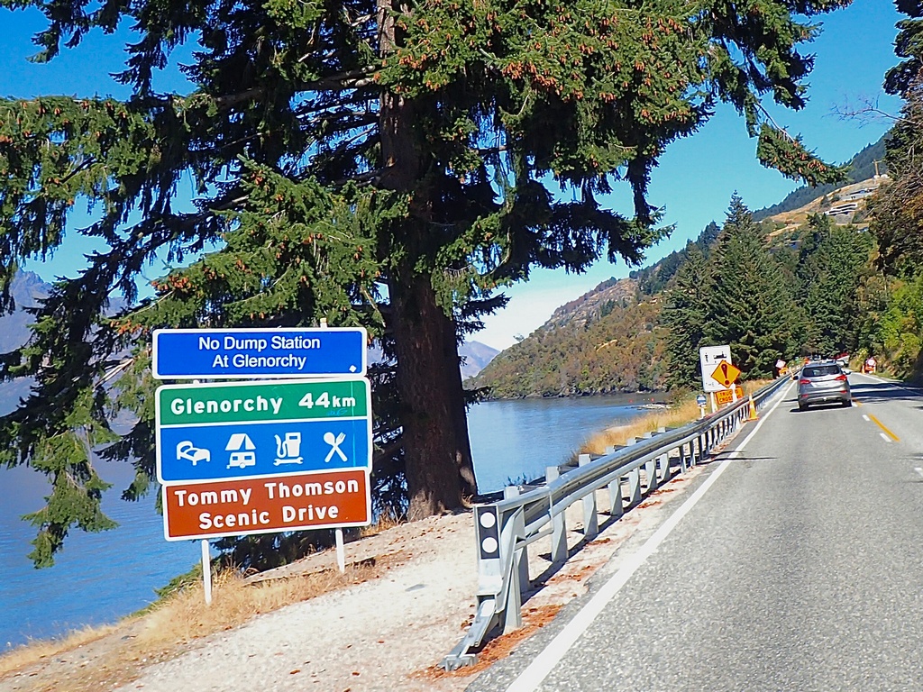
Along the west arm of Lake Wakatipu
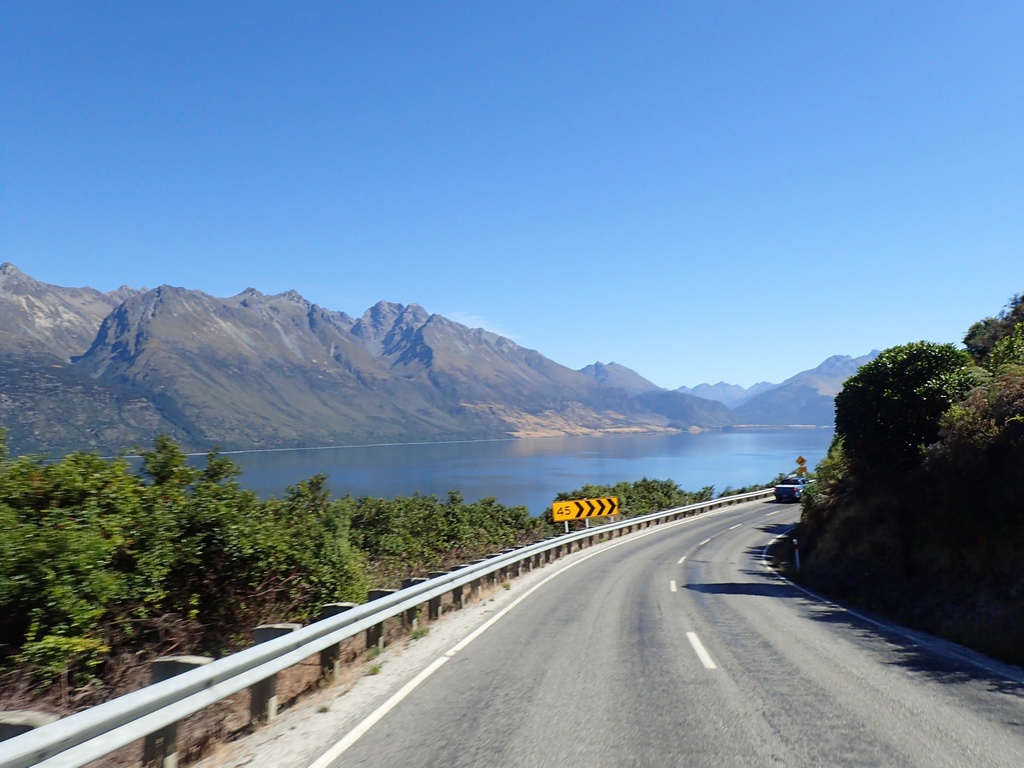
What a fantastic road!
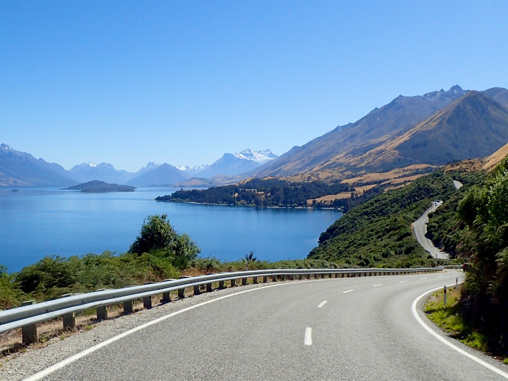
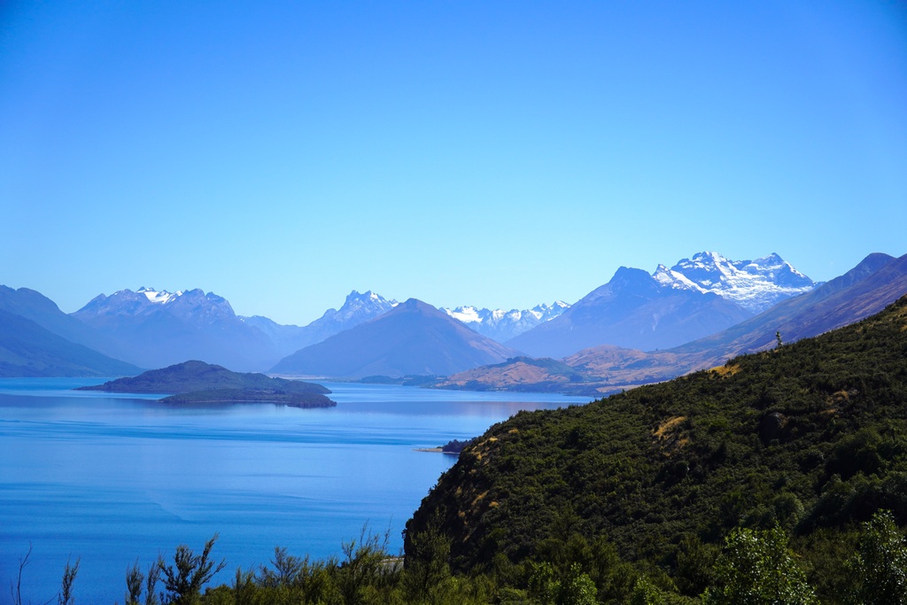
The views in Glenorchy
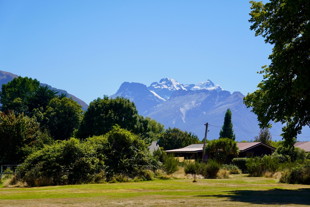
The perfect spot for a cappuccino and a passionfruit cheesecake
Riding south from Queenstown along the south arm of Lake Wakatipu
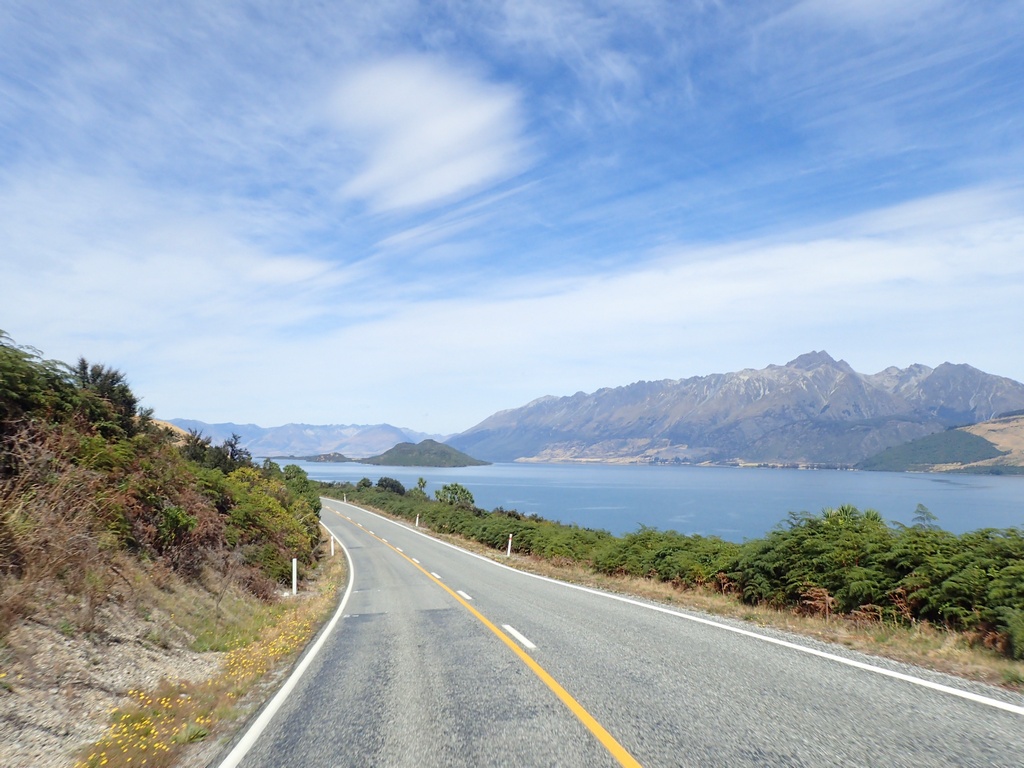
Picnic time!
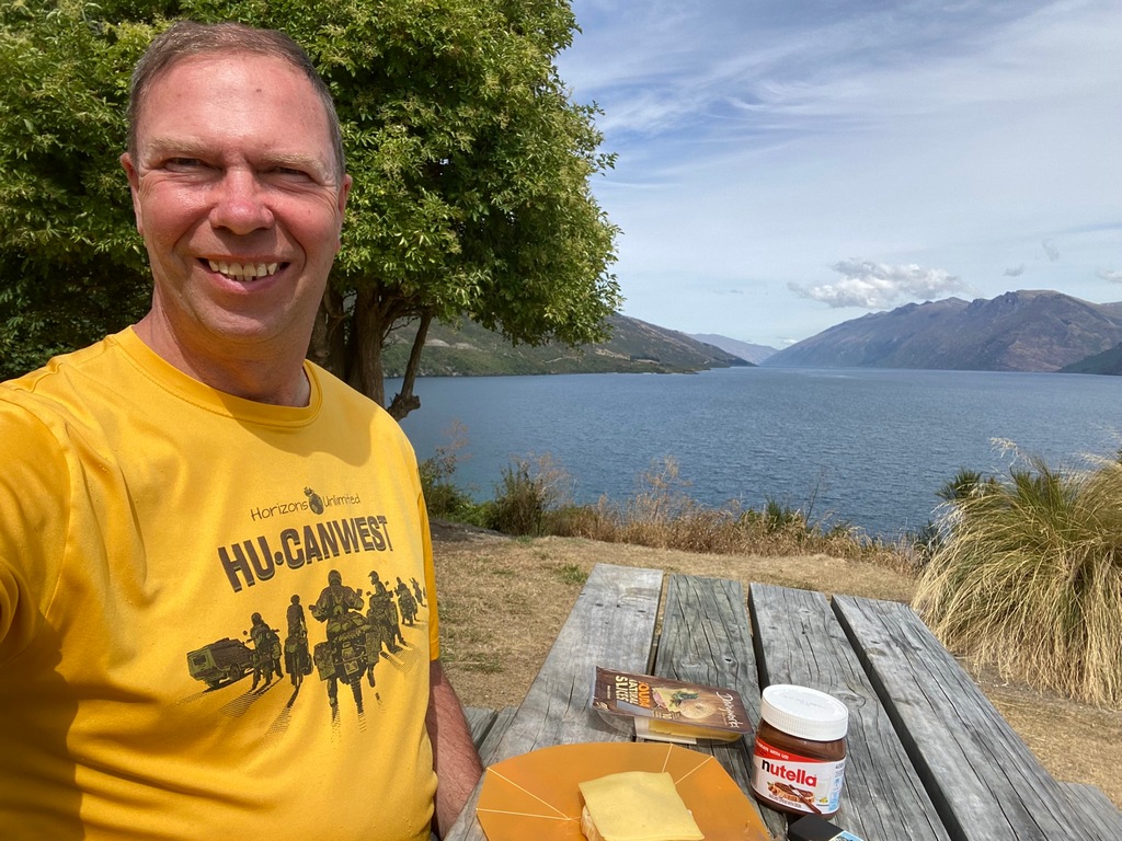
Strolling along Lake Te Anau
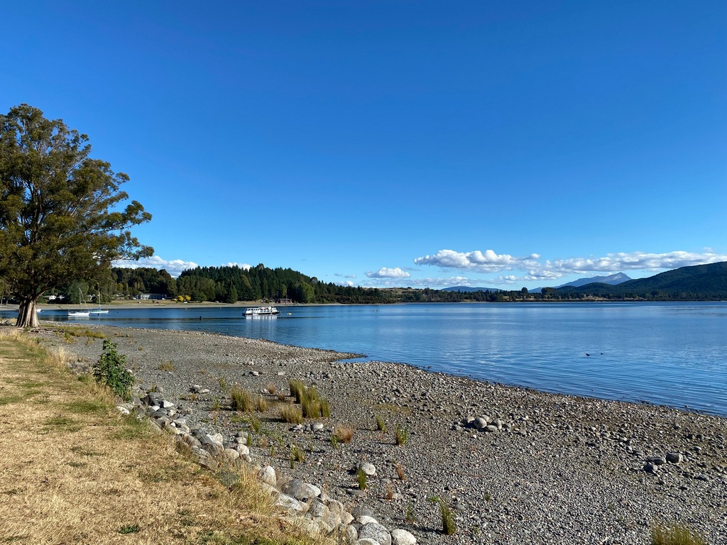
The first "ordinary" hotel room in a long time (no kitchenette!)
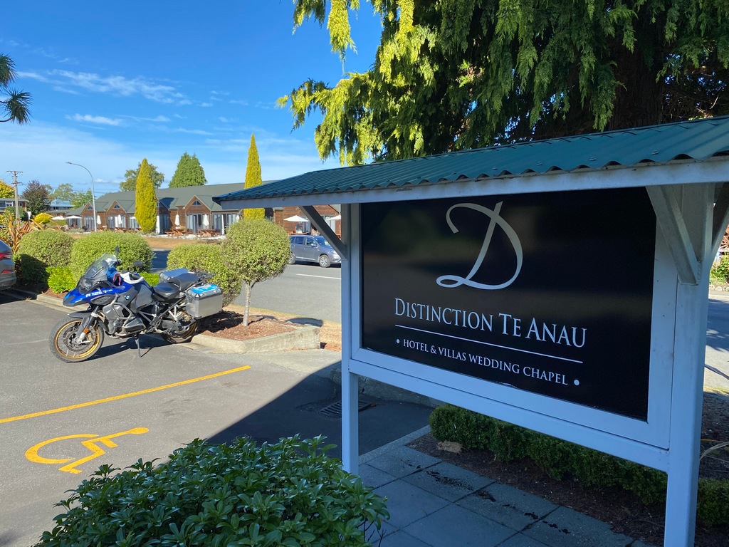
February 28 – Te Ana (Milford Sound daytrip)
Wow, what a fabulous way to celebrate Audrey's birthday! I left Te Anau before dawn and rode north on one of the world's great motorcycle roads for 120 kilometres to Milford Sound. I got there in a couple of hours and after storing my stuff on the motorbike, walked over to the cruise terminal. I hopped onto a 2-hour cruise to the end of the fjord and back that really reminded me of the fjords in Norway. Upon our return at 11:30 I walked over to the café near where the motorcycle was parked and had an early lunch. The water taxi departed from a different pier, about 1.5 kilometres away so I rode the bike over there and again put the cover on it. Me and two other couples from the morning’s cruise were on the jet boat (!) to the start (end really) of the Milford Track. I did the 5.5 kilometre hike up to Giant Gate Falls through lush rainforest in about 1.5 hours. As the trail was quite flat, it took about the same time to return and the five of us all caught the 4:00 PM taxi back. Then of course it was 120 kilometres of fantastic riding back to Te Anau. I really lucked out as there were no tour buses on the ride in the morning or the afternoon. There are certainly lots of buses here, but they must drive the route at different times from when I was riding it. In any case, it was real joy to ride back through the Homer Tunnel and on to Te Anau where I had Audrey’s birthday dinner at the fancy hotel restaurant. I think this birthday celebration is up there with other birthday celebrations such as the Serengeti balloon flight and sunrise over Tikal.Predawn departure from Te Anau
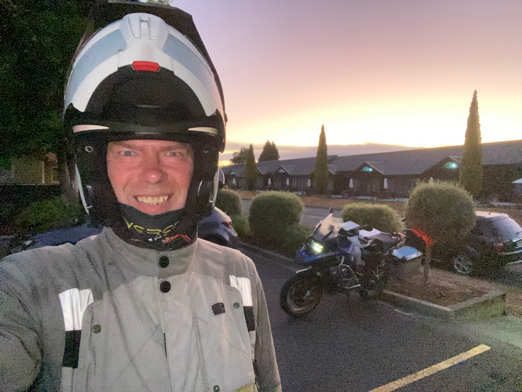
Heading north as the mist rises
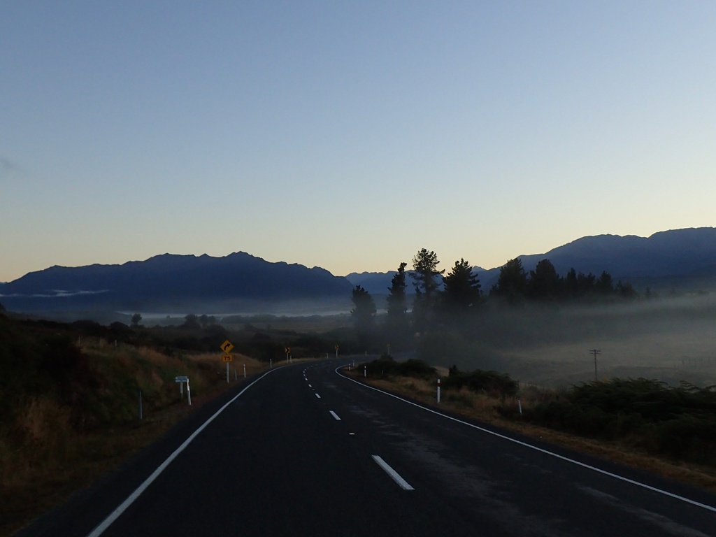
The sun breaks out as the fog hangs in the valleys
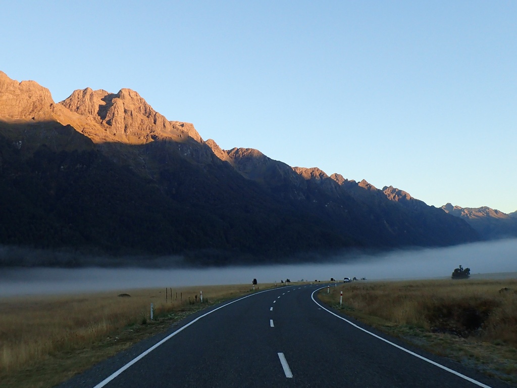
Entering the Homer Tunnel

Mitre Peak in the morning
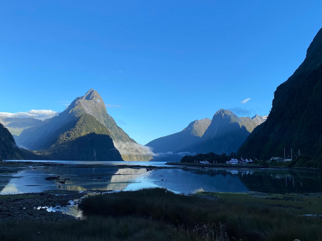
Our cruise ship, the Lady Bowen
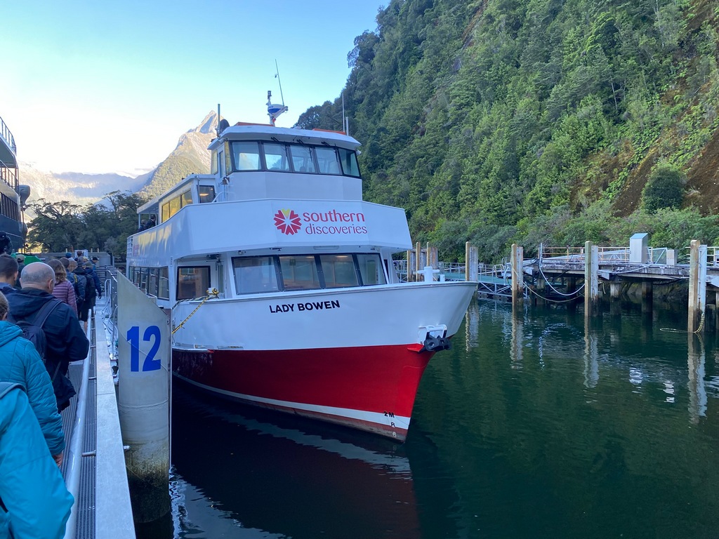
Bowen Falls
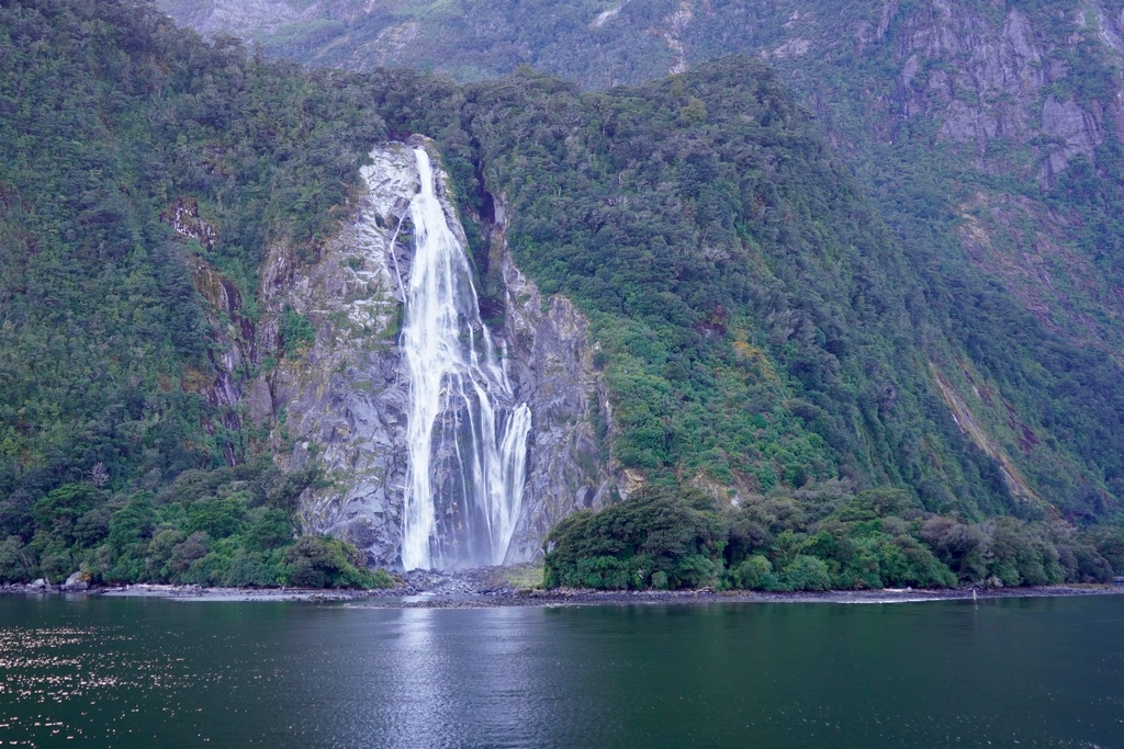
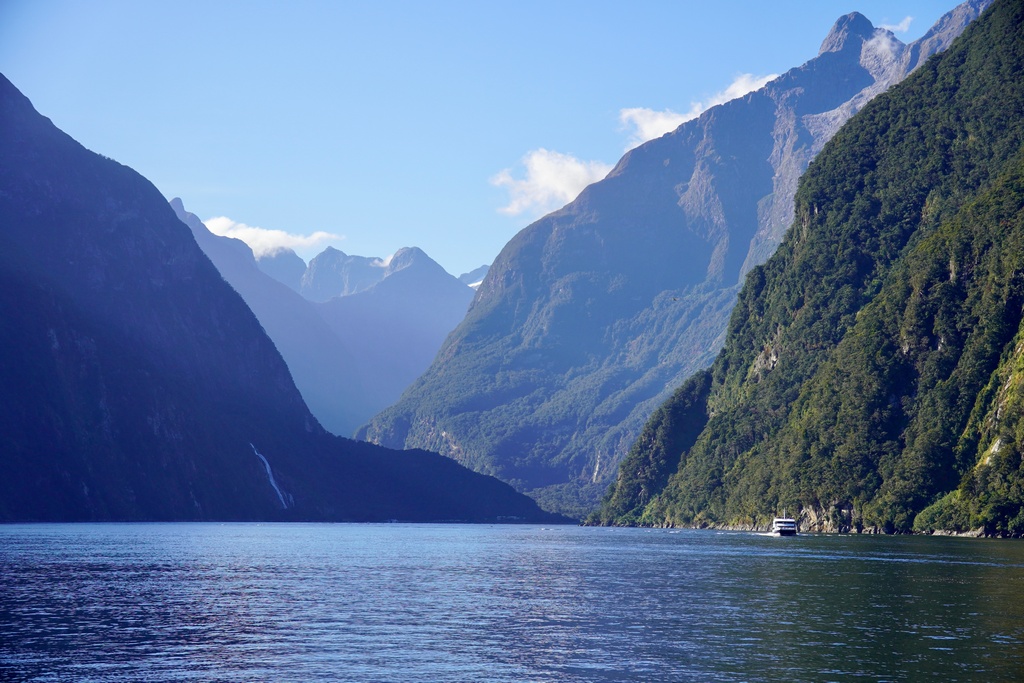
Stirling Falls from across Milford Sound
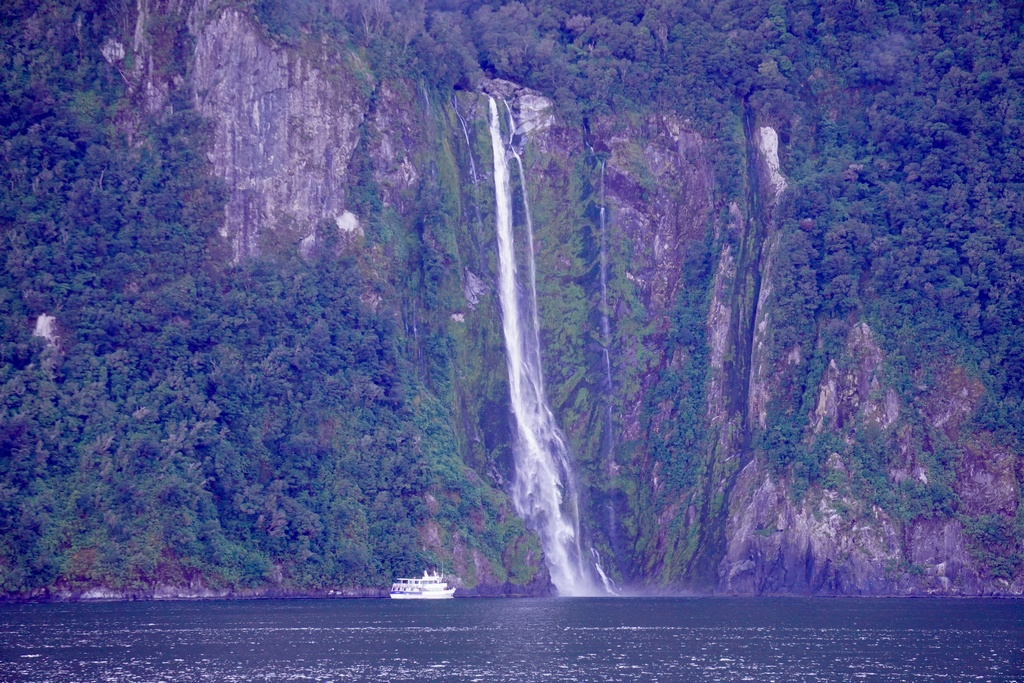
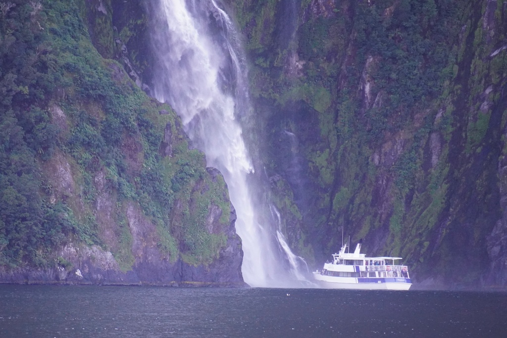
Out on the open ocean
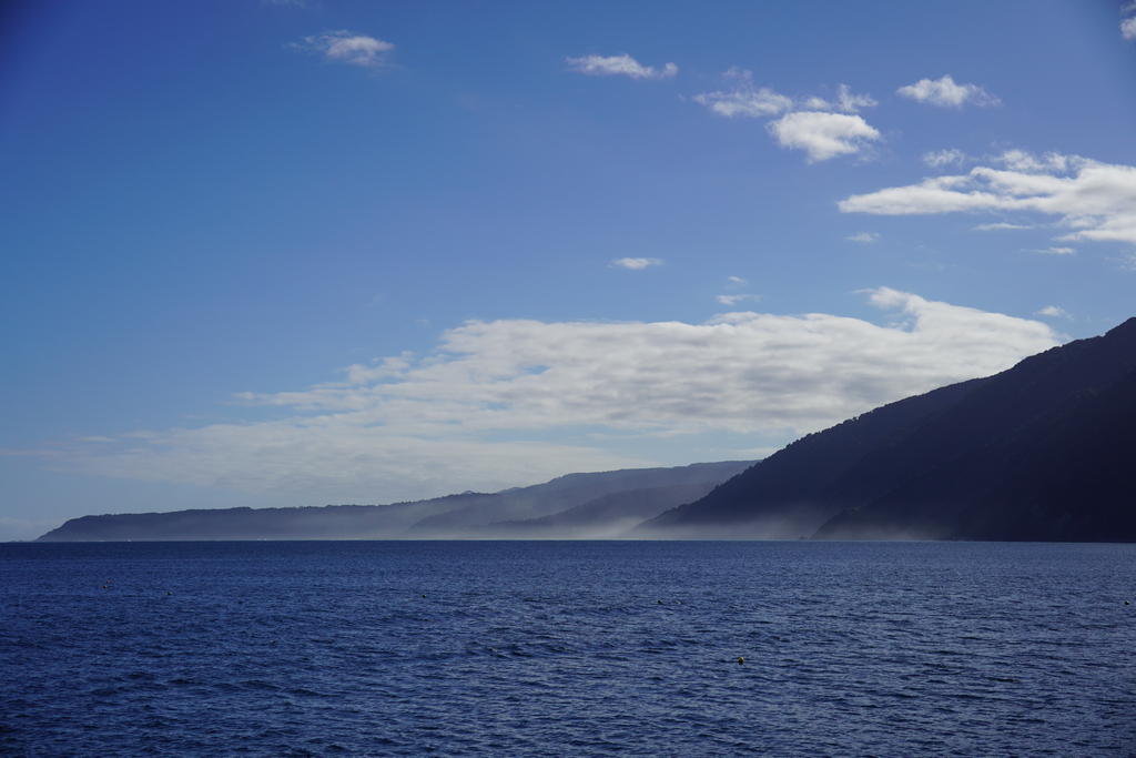
Fur seals relaxing
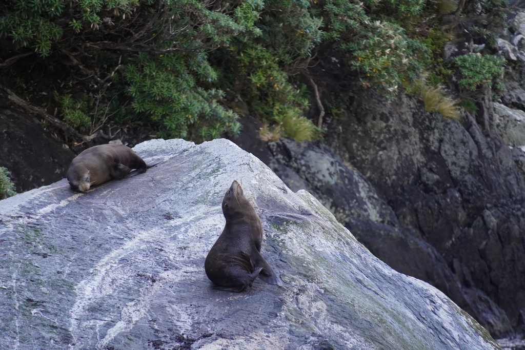
Going for a dip
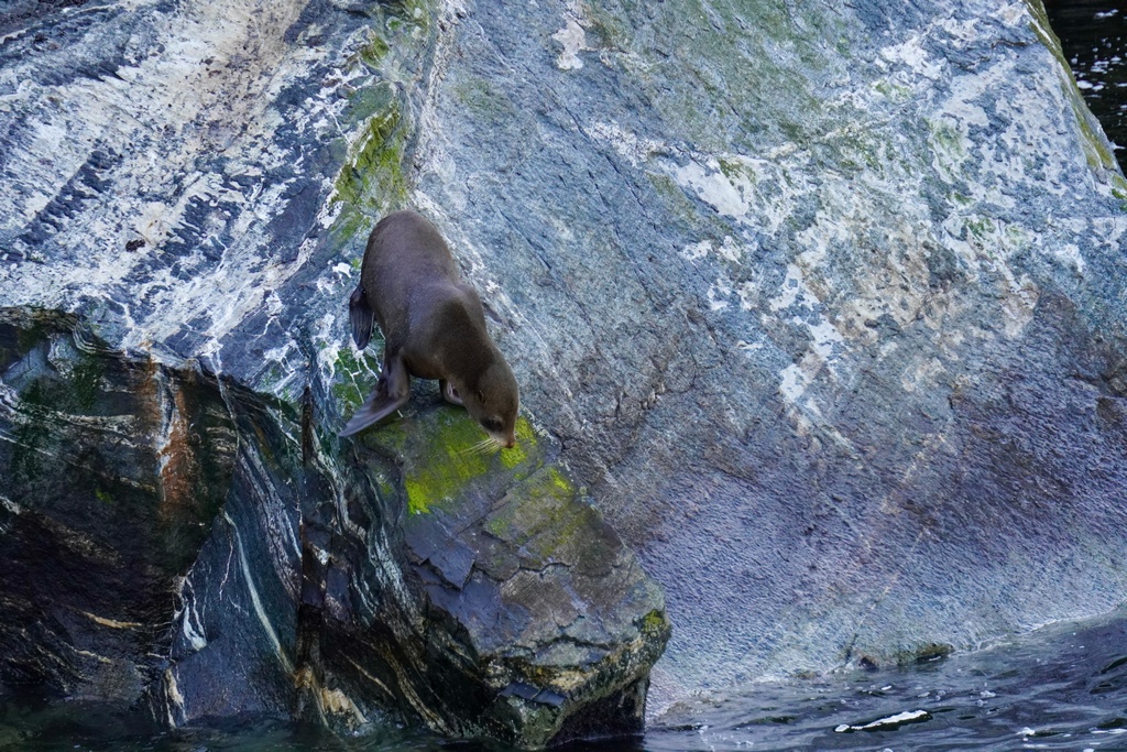
This pup is only a few weeks old
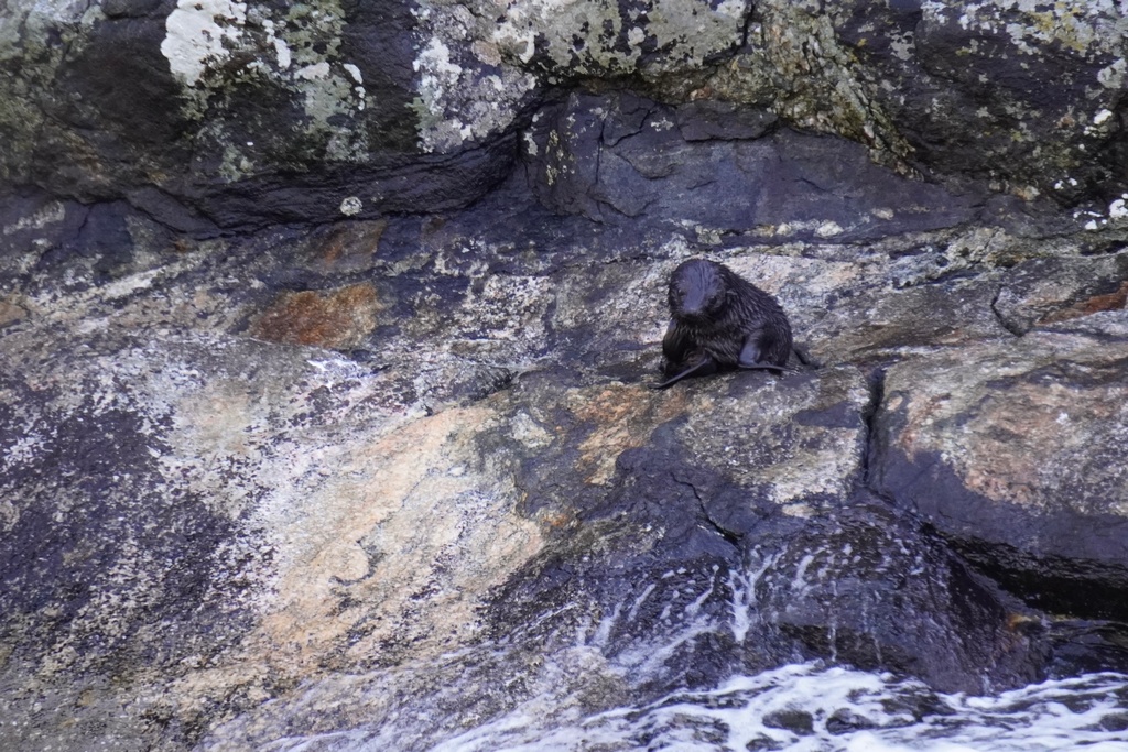
Our turn for Stirling Falls
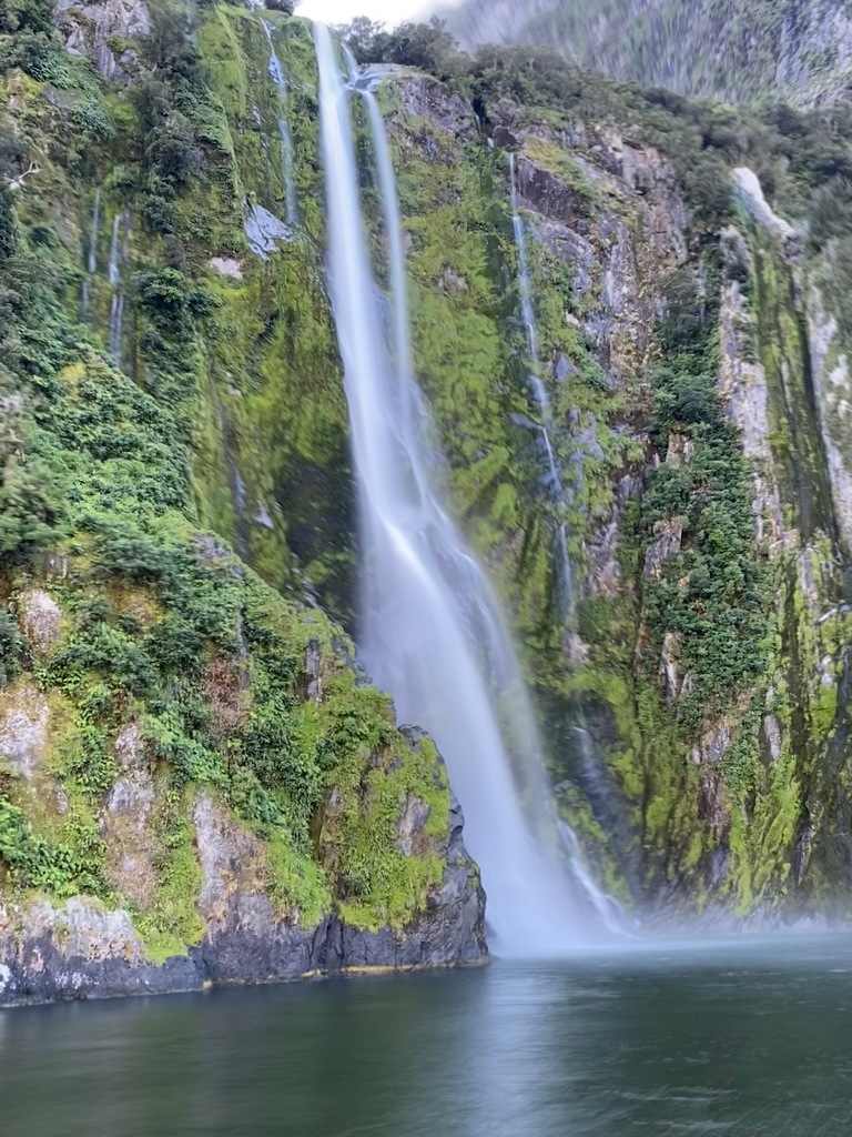
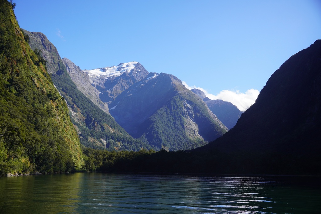
This could be on the tour company's brochure
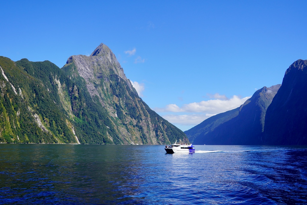
Mitre Peak in the afternoon
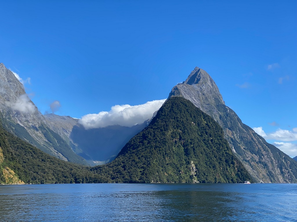
Water taxi to the trailhead (in a jetboat!)
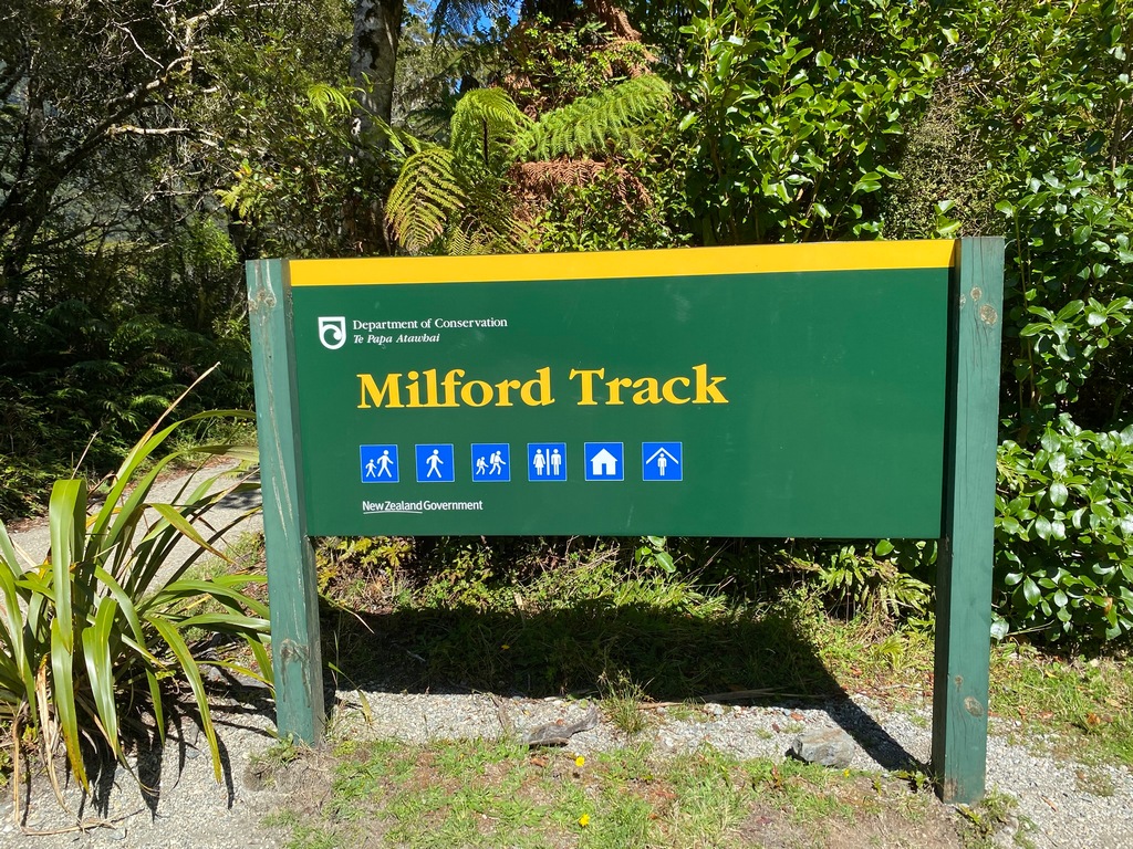
Lush rain forest walk
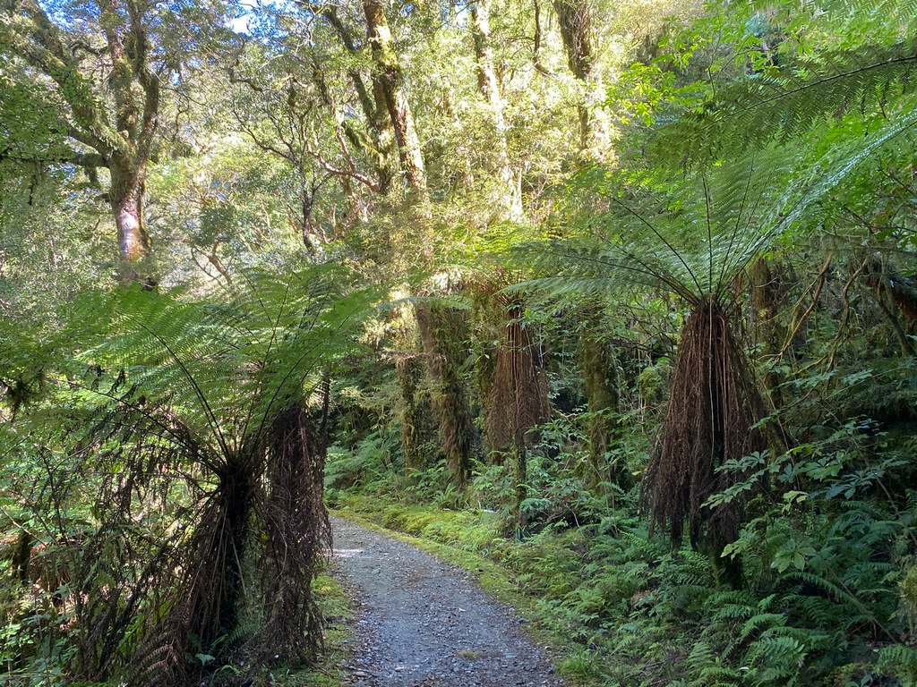
Watch your head!
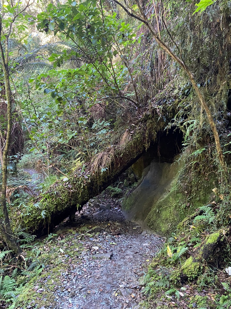
Giant Gate Falls suspension bridge
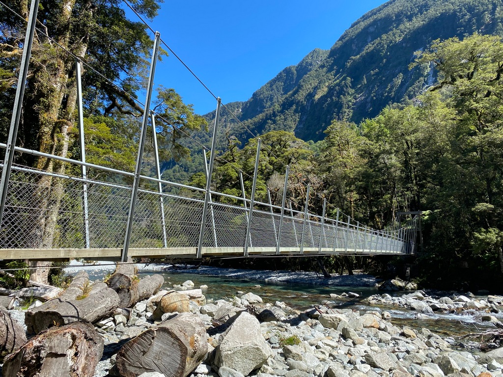
Giant Gate Falls
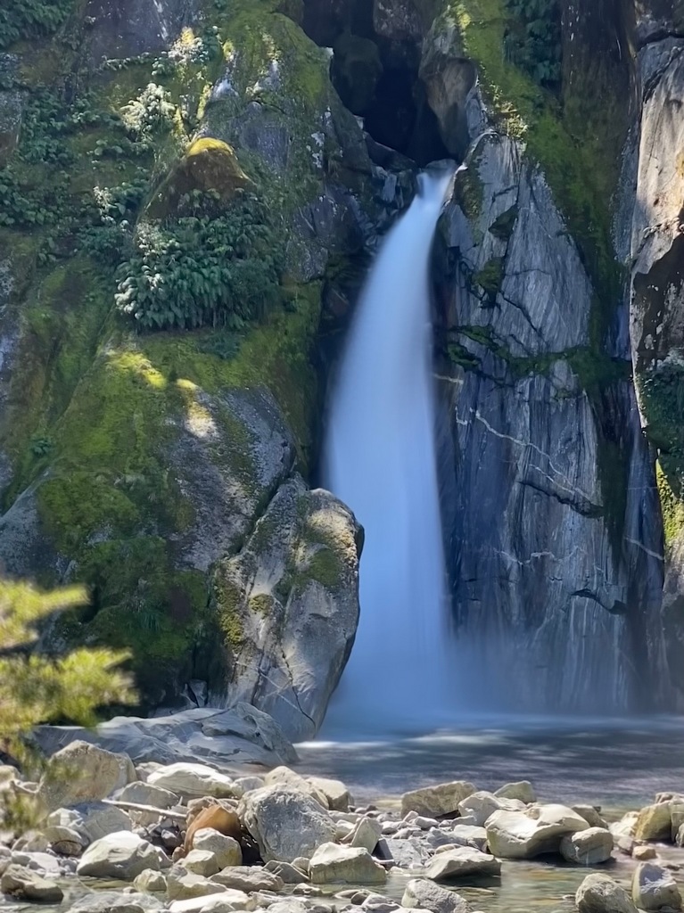
Walking back to the water taxi
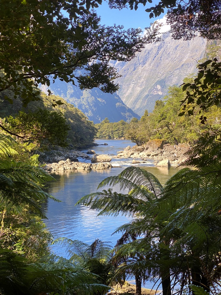
The end of the famous Milford Track
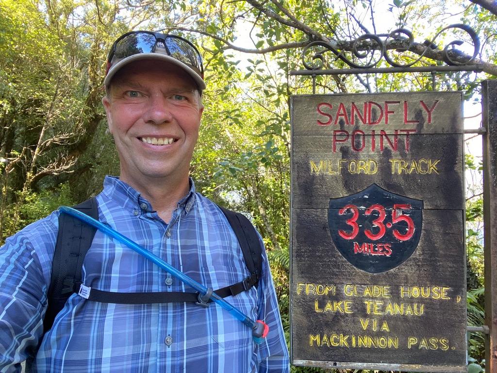
One last look at Mitre Peak before heading home
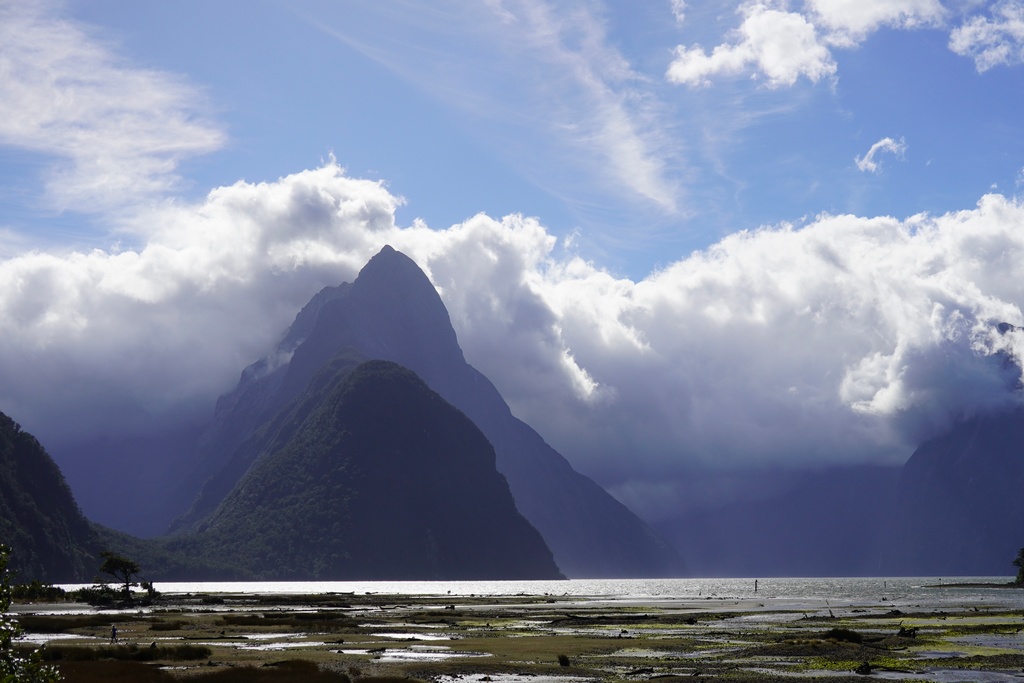
The Homer Tunnel goes right into the cliff face
Heading south on the Milford Sound Highway
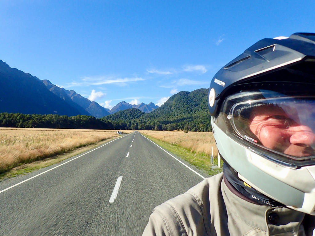
A 12-hour day
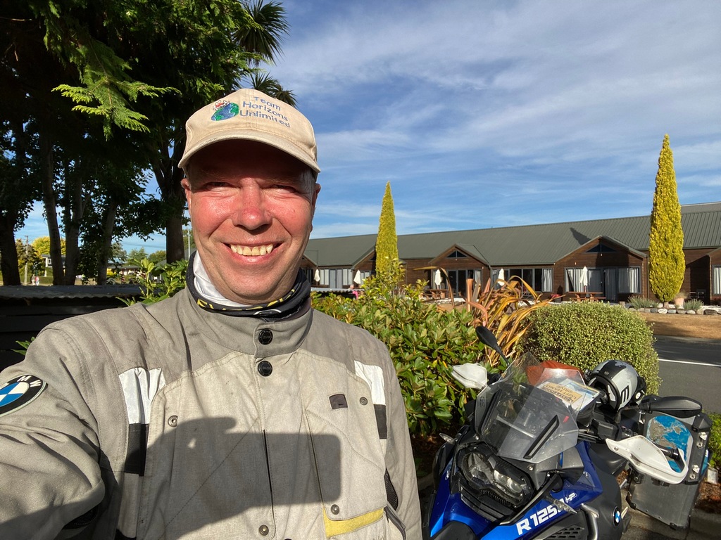
Birthday dinner with my Sweetheart (the photo is on the balloon flight over the Serengeti for Audrey's birthday in 2008)
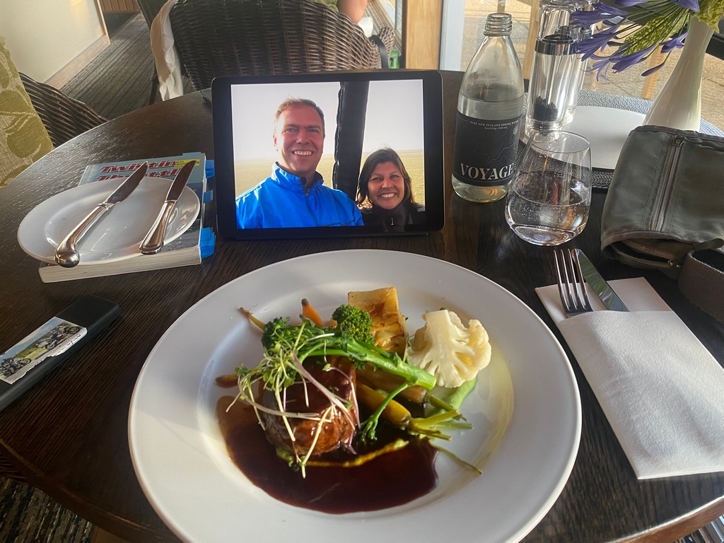
Relive video of the day
March 1 and 2 – Te Anau to Clyde to Omarama
I have taken a couple of days to transit from Te Anau to Omarama, near Aoraki/Mt. Cook. On Saturday I left Te Anau retracing my tracks along Highway 94 for the third time. This is the same stretch I received the speeding ticket a few days ago so I kept the speed down. From Lumsden I continued southwesterly on Highway 94 but turned off the main highway onto smaller country roads at Riverdale. Once off the main highway there was almost no traffic, and what little traffic there was was local traffic. The road danced along the tops of the hills through the English, er Southland, countryside. My destination on Saturday night was the historic gold mining town of Clyde on the Clutha River and I had booked the Dunstan House, an historic hotel dating back to 1898. I absolutely loved this sympathetically restored hotel, from its creaky stairs to the claw-footed bathtub in my room. Sunday was only a short ride to Omarama of 120 kilometres, so I decided to ride past my hotel in Omarama and continue on to Aoraki/Mt. Cook with the hope of getting a glimpse of New Zealand's tallest mountain. Alas, while it was beautifully sunny riding alongside the technicolour Lake Pukaki, the mountain itself was shrouded in clouds with rain stuck in a valley at its base. I had a coffee break at the Old Mountaineers Café in the village, but the clouds never lifted. I rode out to the trailhead for the hike I was planning the next day, just a couple of kilometres past the village, and there was that stationary rain still hanging in the valley. It was a steady light rain that wasn’t moving, just hanging there, right at the parking lot. After a photo I turned around, leaving the rain in a few hundred metres, and rode a hundred kilometres back to Omarama.Taking the backroads, dancing along the hilltops
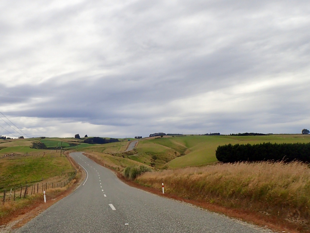
Looks a lot like the English countryside
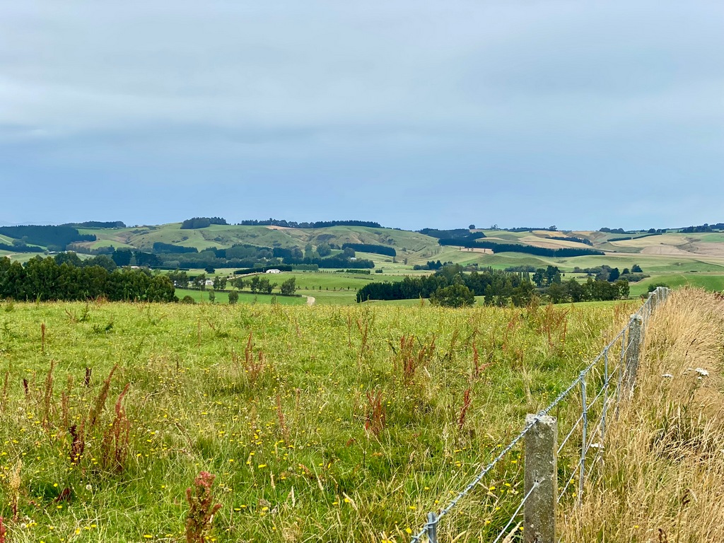
Lots of sheep
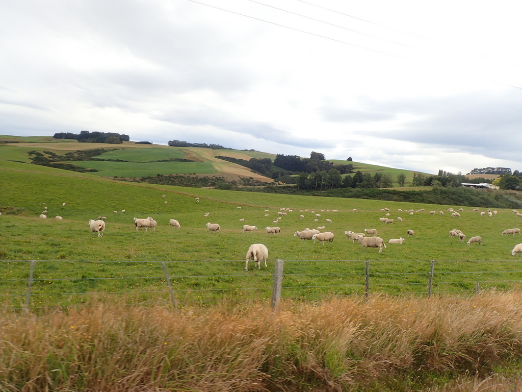
Lunchtime at the Turquoise Cafe
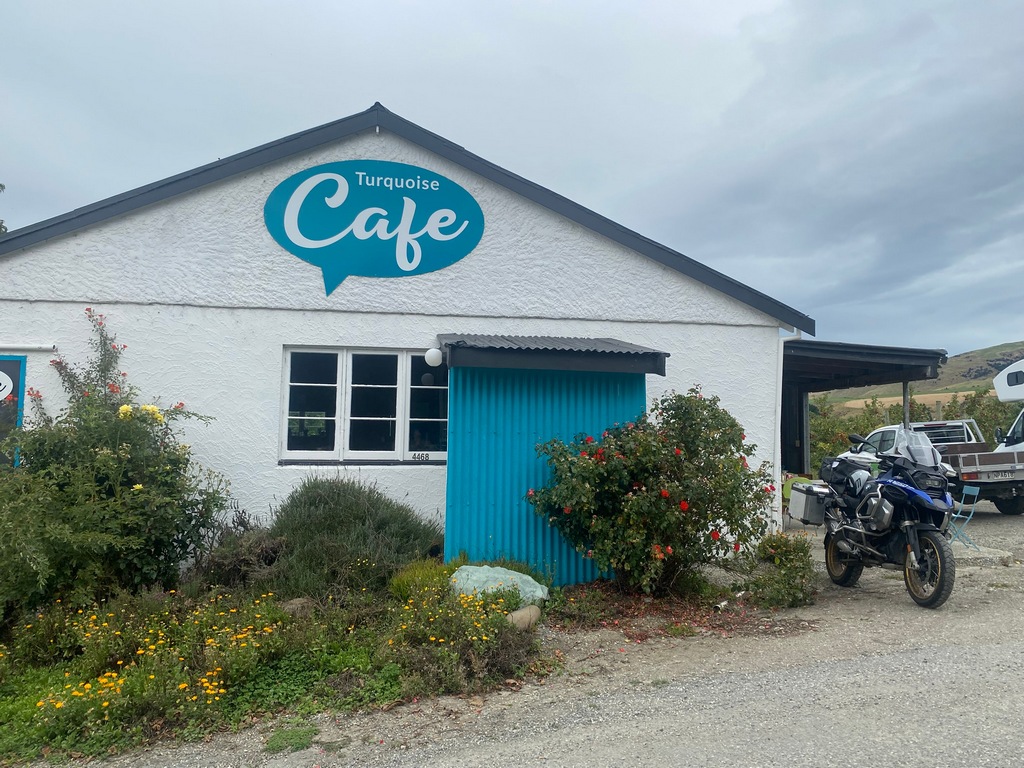
What a delicious, freshly made ham sandwich
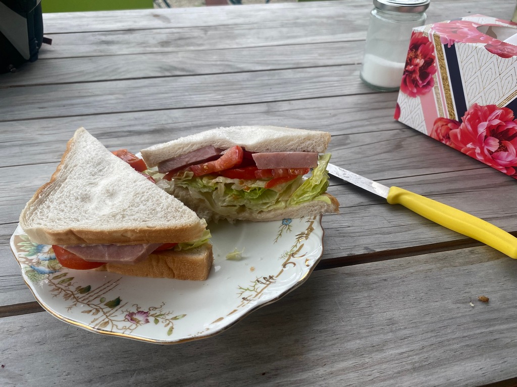
Arriving at the Dunstan House in Clyde
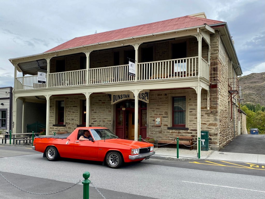
I am in the Fluer Sullivan room (Ms. Sullivan bought and restored Dunstan House in 1967)
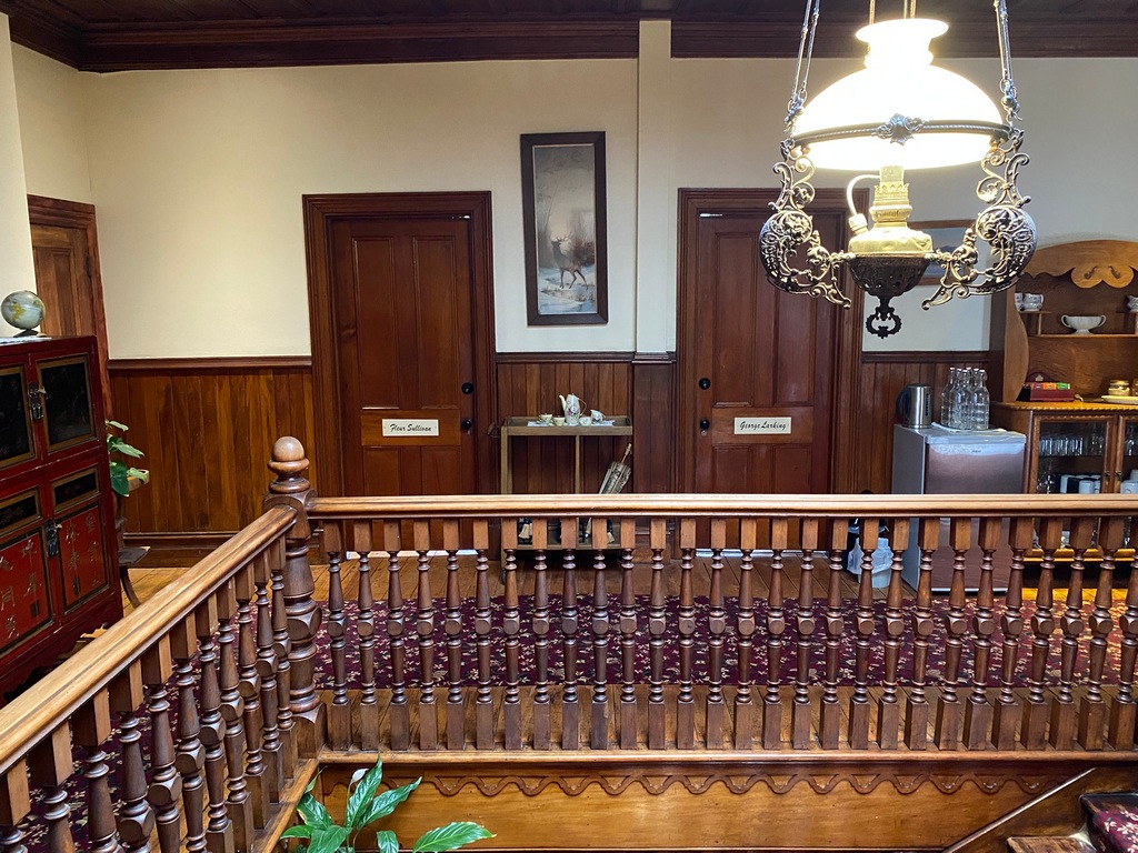
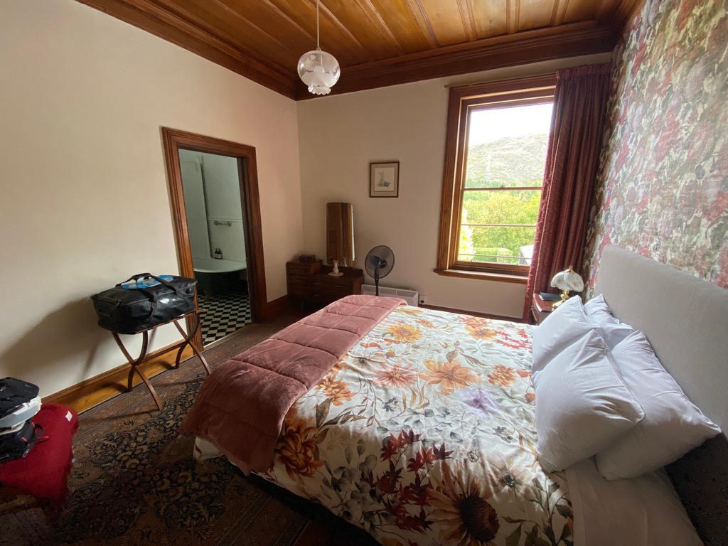
Riding north from Cromwell along the Clutha River (looks like the Okanogan Valley doesn't it?)
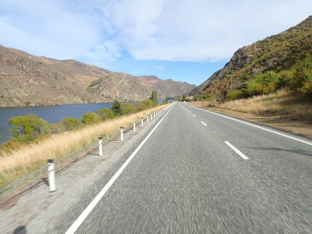
Climbing the Lindis Pass
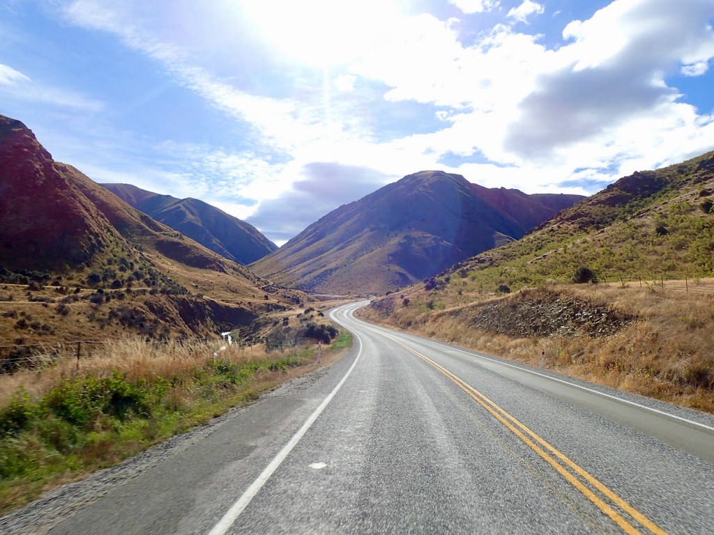
The summit of Lindis Pass
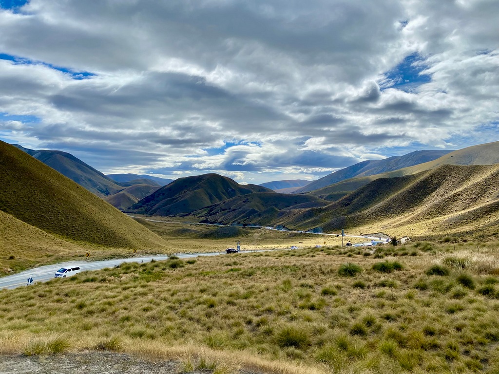
A fresh cinammon scroll from Dunstan House is perfect for a picnic at the top
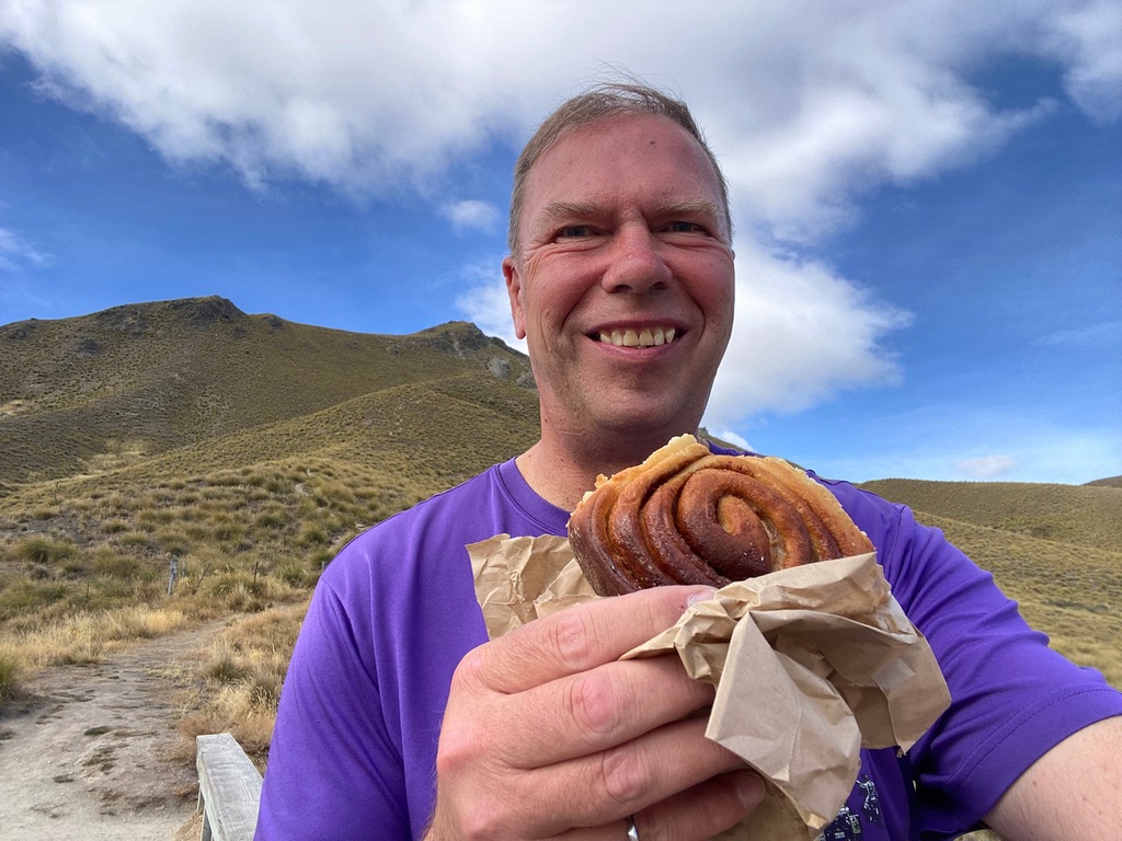
Riding past the Heritage Gateway Motel on the way to Aoraki/Mt. Cook
No views of Aoraki/Mt. Cook today
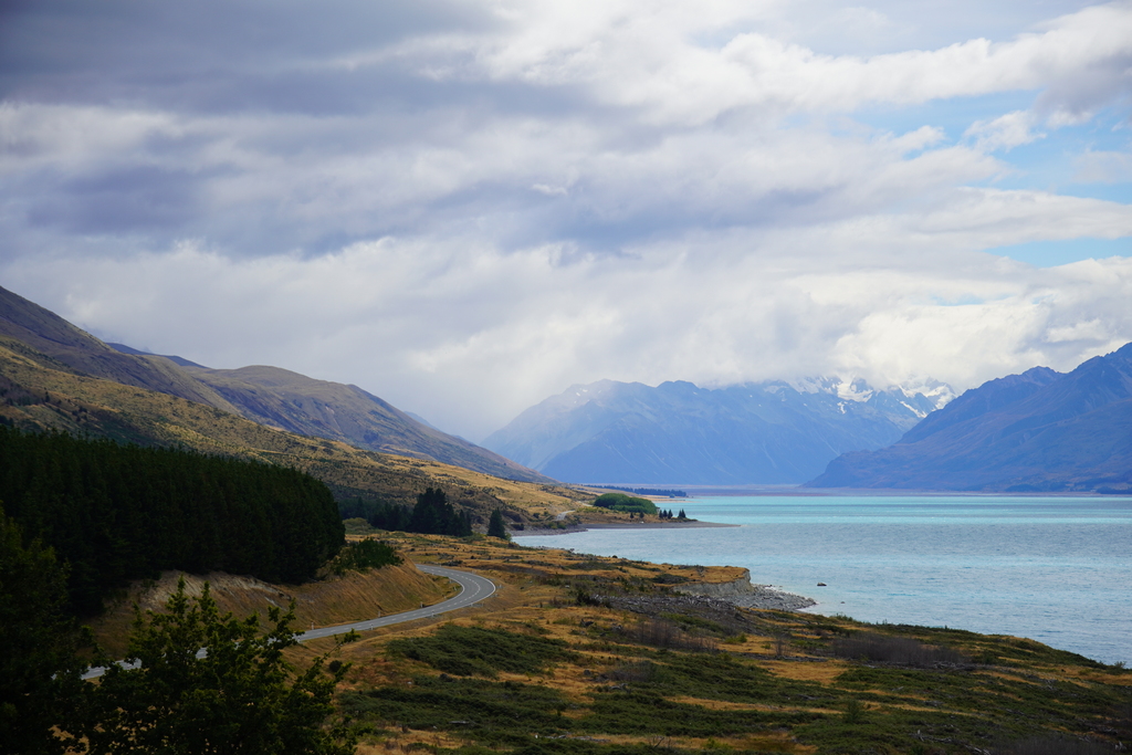
Sunny along Lake Pukaki
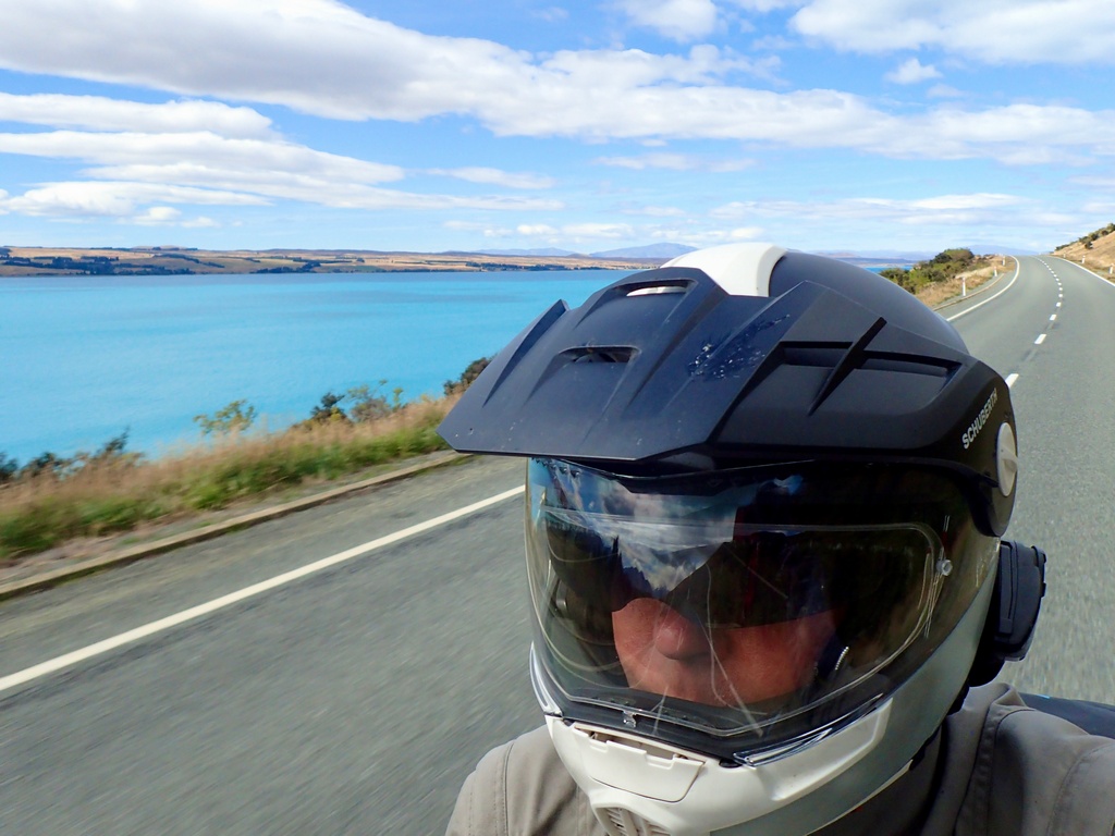
Looks like it could be raining up the valley
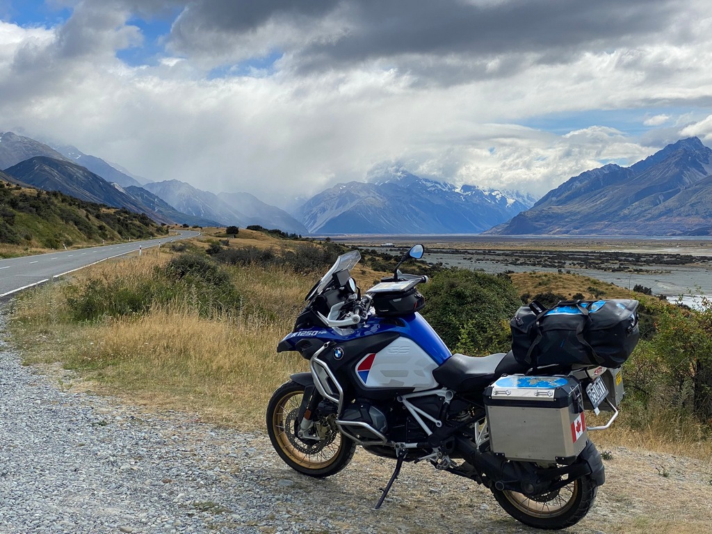
Yes, that rain has been hanging in the valley the whole time
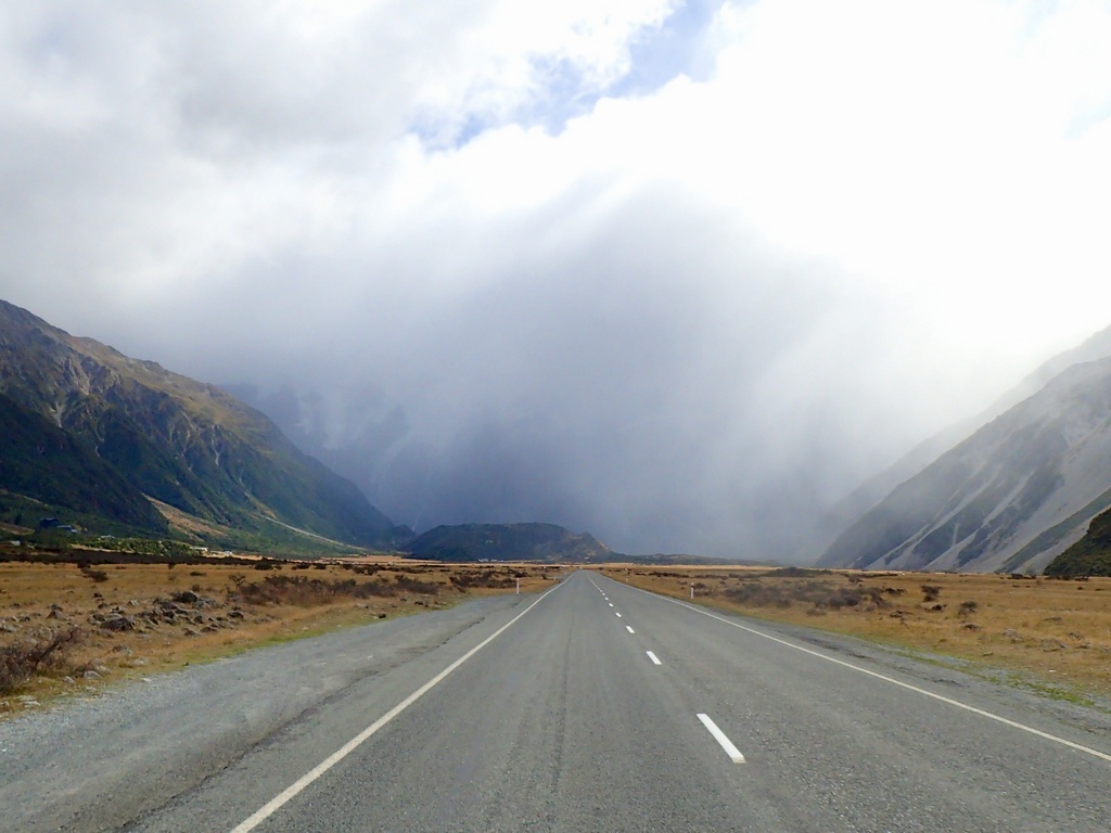
Light rain at the Hooker Lake trailhead parking lot
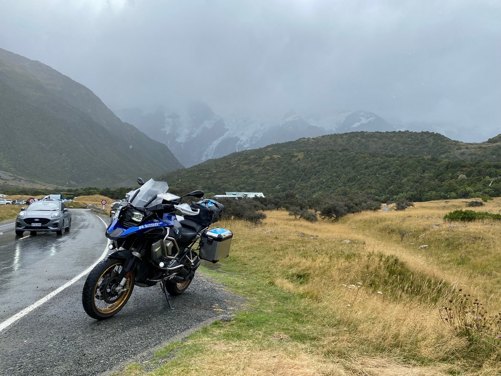
Sunny back in Omarama and check in at the Heritage Gateway Motel
March 3 – Omarama (daytrip to Tekapo)
I woke up to a steady, light rain and overcast skies on Monday morning. It certainly didn’t seem conducive to going for a hike at Aoraki/Mt. Cook what with riding 100 kilometres in the rain, changing into hiking gear to walk in the rain, changing back into motorcycle gear and riding home in the rain. And of course, the point of the hike was to enjoy the views of Aoraki. Since I am in Omarama for another day, I decided to ride to Mt. John near Tekapo and then try for the Aoraki hike again on Tuesday. Mt. John is home to an observatory and is reputedly one of the best places in the southern hemisphere for astronomy as it is in the Aoraki Mackenzie International Dark Sky Reserve. Of course, today, despite being in the rain shadow of the Southern Alps, there wouldn’t be a lot of astronomy going on. Fortunately, the Astro Café is tucked in amongst the telescopes and that was my destination once the rain eased up a little at 11:00. Originally, I had planned to hike up from Tekapo to the summit of Mt. John, but the rain didn’t make that option terribly palatable, so I took the short toll road ($8) to the top instead. While it was still raining lightly, the ceiling wasn’t very low and the view from the glass-walled café over the town and lake were still quite nice. The toasted salmon bagel followed by a carrot cake made for a delicious way to while away a damp afternoon. On the ride back to Omarama the rain had finally eased up so I stopped at a viewpoint on Lake Pukaki that should have had a view of Aoraki/Mt. Cook. I sat at a picnic table, hoping the clouds would lift. Eventually the clouds did lift a little, but the mountain did not pierce the clouds (Aoraki means cloud piercer in Māori) during the time I sat there. I did have a couple of nice conversations with a young man and his parents from India and a British couple though.A rainy day ride

Mt. John looks a bit more like a hill
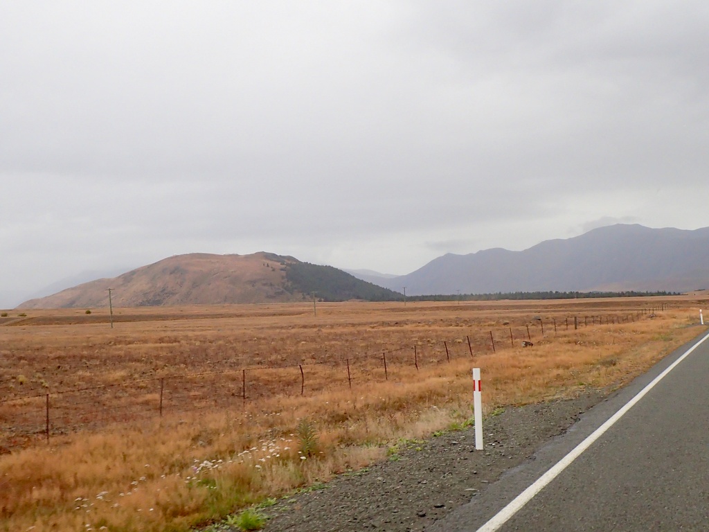
Taking the toll road to the observatory
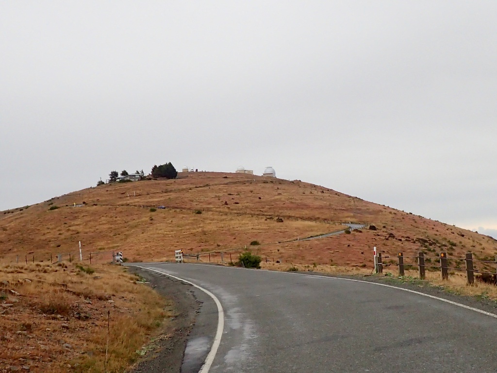
The ceiling isn't too low, Lake Alexandrina below
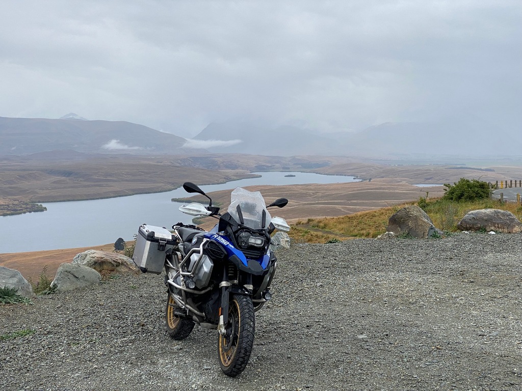
University of Canterbury Mt. John Observatory
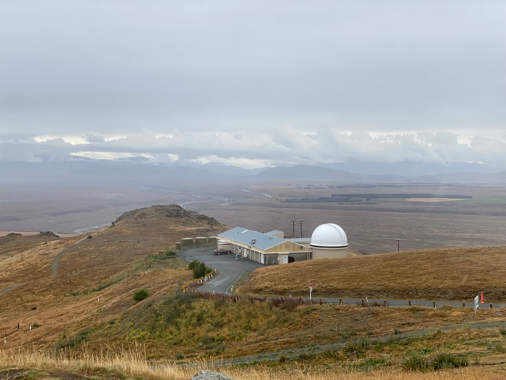
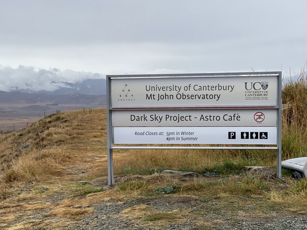
I love the image of Saturn on my chai latte to match the rings of the salmon bagel
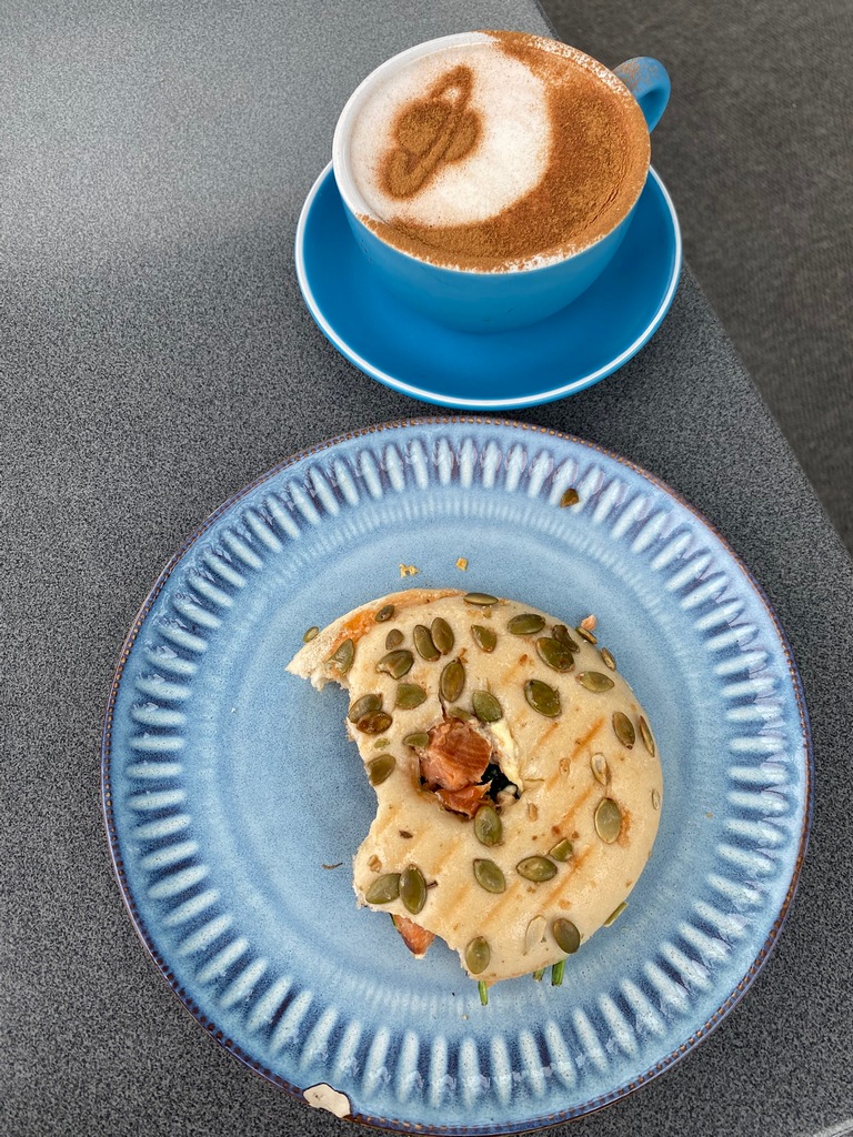
Delicious carrot cake in the glass-walled Astro Cafe
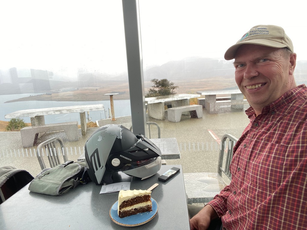
The town of Tekapo down below
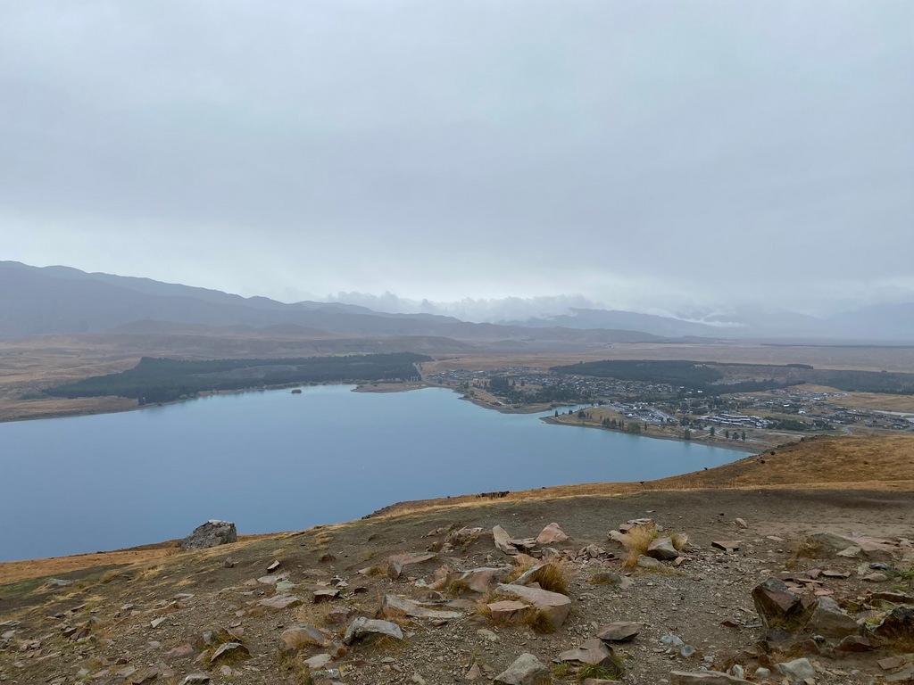
Church of the Good Shepard on Lake Tekapo
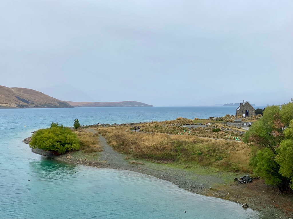
The church is a famous locale for weddings as these groomsmen attest
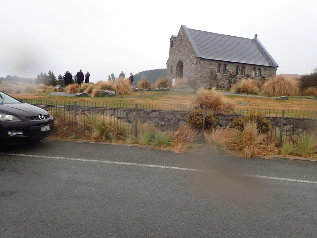
Riding home the clouds have lifted a little
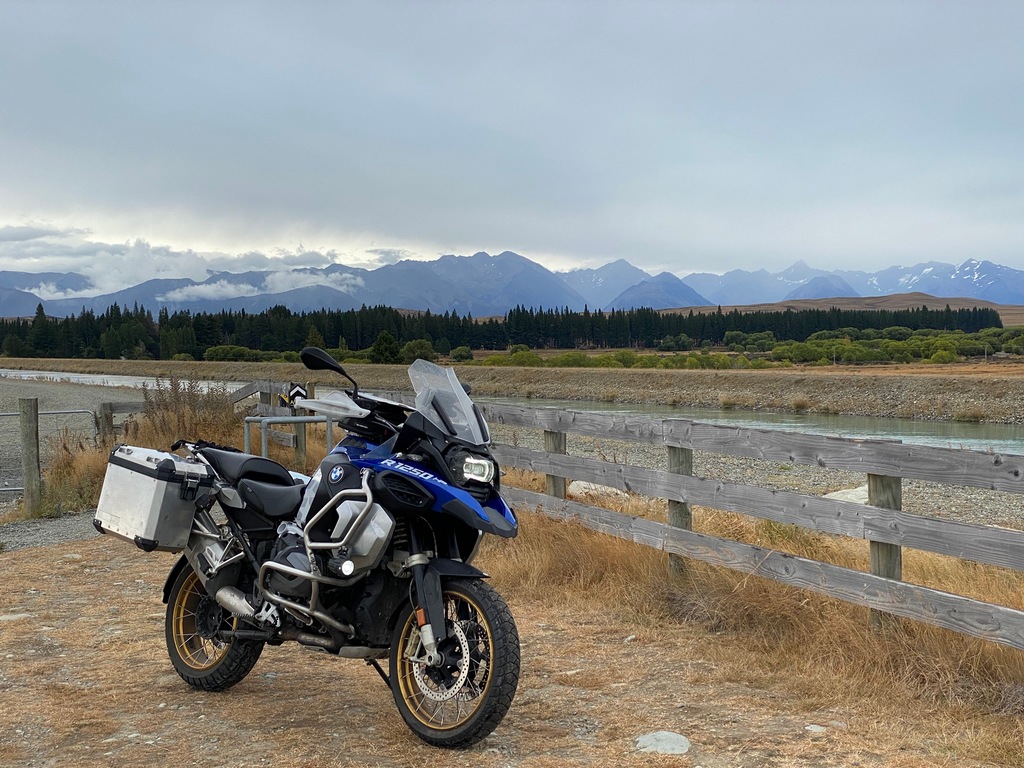
Still raining up the Lake Pukaki valley
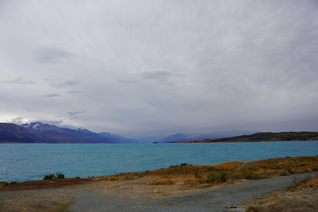
After sitting at a picnic table for a while the clouds lift a little
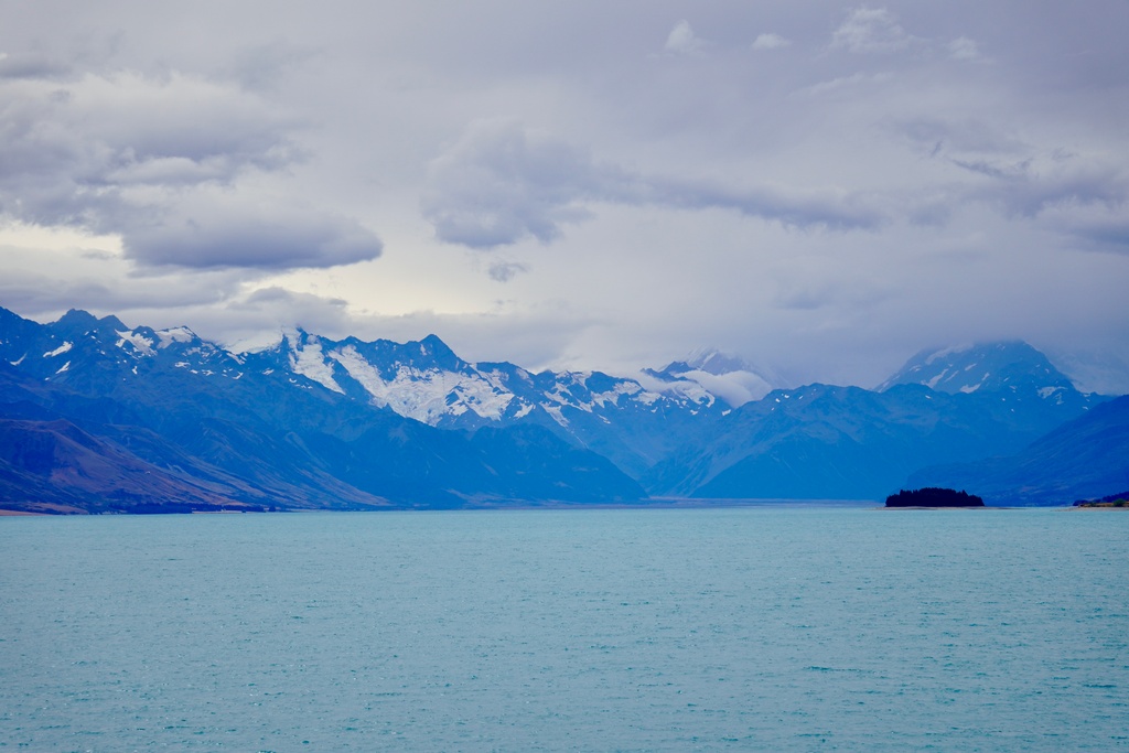
Woo hoo!
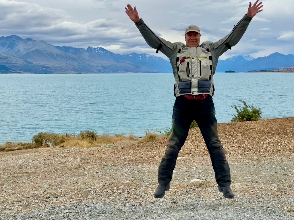
March 4 – Omarama (daytrip to Aokari/Mt. Cook)
It was sunny with partly cloudy skies as I left Omarama for a daytrip to Mt. Cook Village. I took along all my hiking gear so that I could do the three-hour Hooker Valley walk. Hopes of doing the hike were dashed as I came around Lake Pukaki to find a wall of rain at the head of the lake and the mountains completely obscured. So, a change of plans then. I had been wanting to visit the Sir Edmund Hillary Alpine Centre in any case so this was the opportunity to do that. As I rode up the valley the rain seemed to recede and when I got to the head of the lake, all that was left were wet roads though the mountains were still obscured. So, I managed to make it to the Hermitage Hotel where the Hillary Centre is located without getting my raingear wet. I changed out of all my motorcycle gear, put the bike under a cover, went into the hotel and paid $25 to enter the Centre. I was lucky in that the film “Hillary on Everest” had just started at 11:30 so I snuck into the theatre and found a seat in the dark. The film was really interesting with Hillary’s early life and then the summit of Mount Everest in 1953. His later life really struck a chord with me as his philanthropic efforts were highlighted and I recognized a few things from my visit to Nepal last year. I didn’t know that while at Phaplu, building the airport where our Everest Base Camp trek started from, his wife and daughter were killed in a plane crash. He was devastated for several years afterwards, and it felt so much like what I have been going through after losing Audrey that I had to fight back the tears in the theatre. After the show, I went upstairs to the café and had a venison pie for lunch. By the time I was finished, the clouds had lifted a bit and there was sun breaking through, so I quickly went to the parking lot and rode my bike over to the Hooker Valley trailhead. The huge trailhead parking lot was packed but I found a spot for the bike and tucked it back under its cover. It took a bit over an hour of hiking with the crowds to reach the lake. What surprised me was that, because the clouds had obscured Aoraki/Mt. Cook the last few days, I had mistaken Mount Sefton for Mount Cook! I didn’t realize this until the trail turned away from Mount Sefton (which I thought was Mount Cook) and continued up the valley to Hooker Lake. There was the real Cloud Piercer with its sharp, pointed peak. I stayed at the viewpoint above the lake for quite a while, just watching the clouds come and go over the mountain. I was sure glad to have stayed late enough in the afternoon to finally see Aoraki/Mt. Cook, even if it meant getting back to Omarama at sunset after stopping for dinner in Otematata’s Best Dam Pub (best French fries of the trip!).Weather doesn't look too promising, lets head for the Hillary Centre then
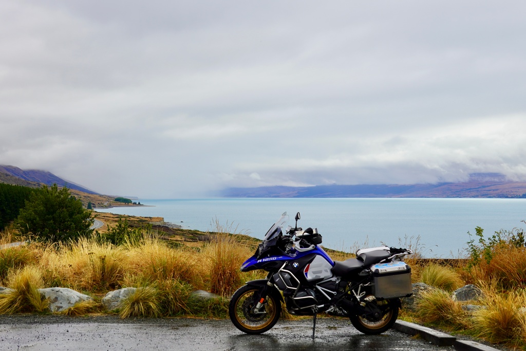
The tractor Sir Edmund Hillary used to be the first to reach the South Pole in a motor vehicle
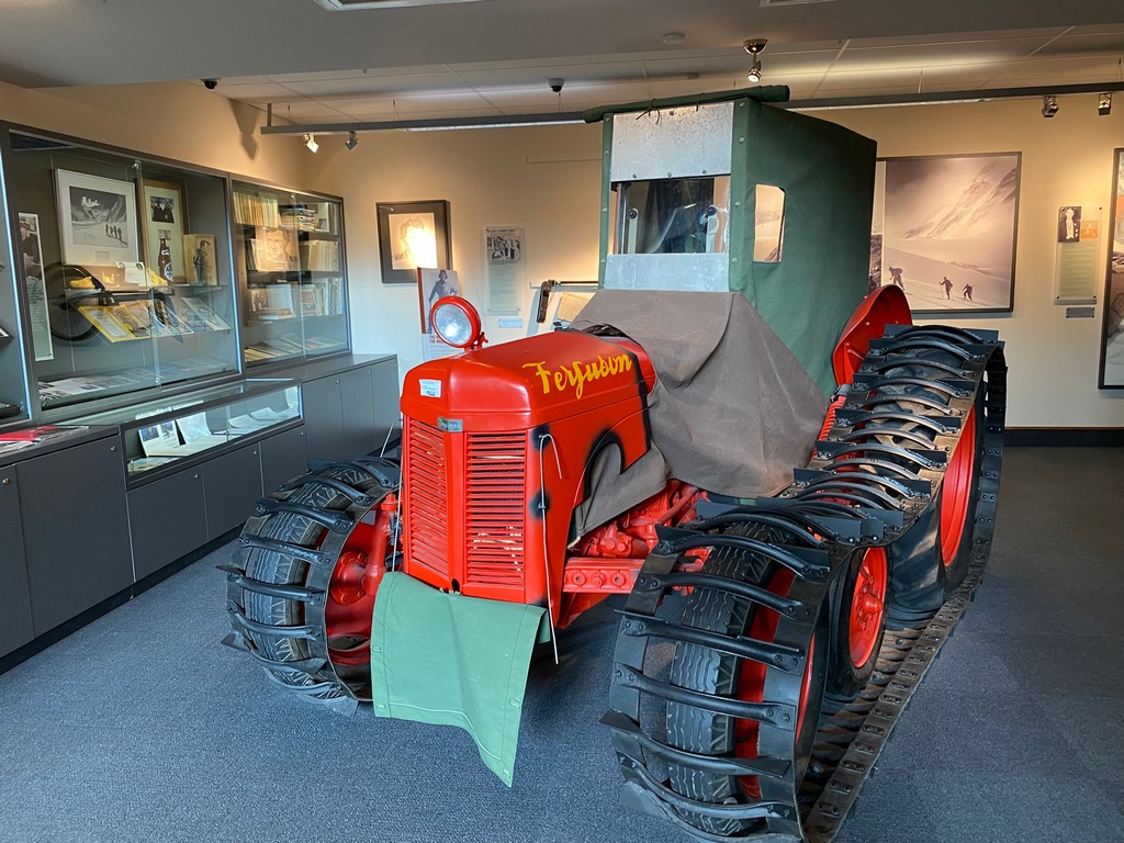
Lunch of venison pie in the cafe overlooking the Hillary Centre
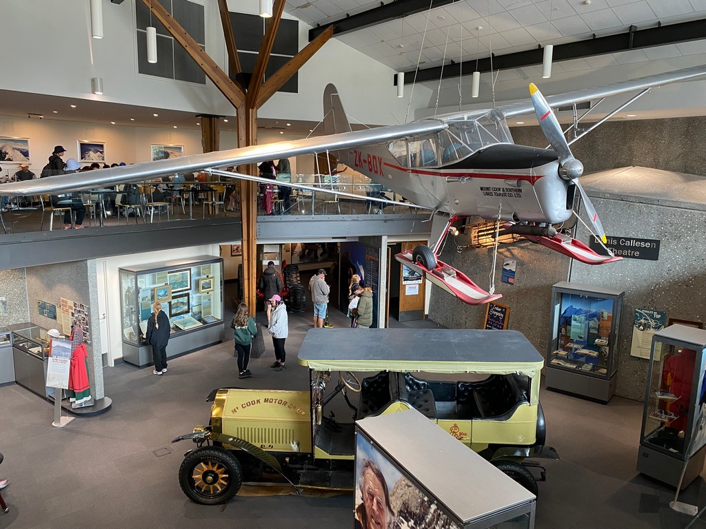
I honestly thought this was Aoraki/Mt. Cook, but no, it is Mount Sefton
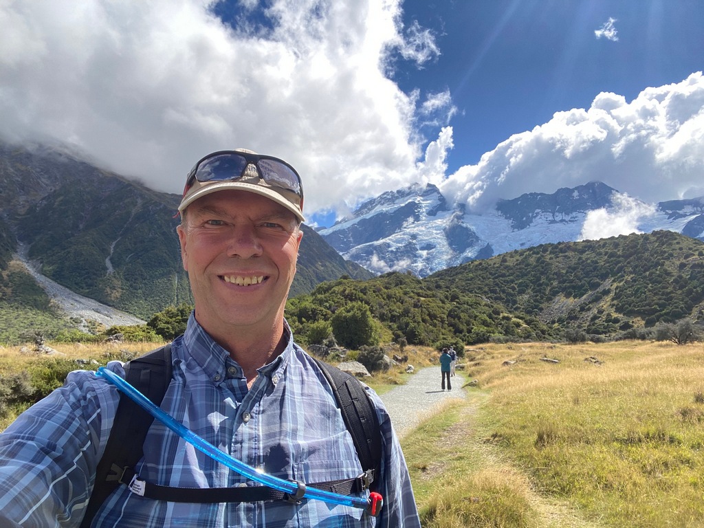
Mt. Sefton and the first of three suspension bridges
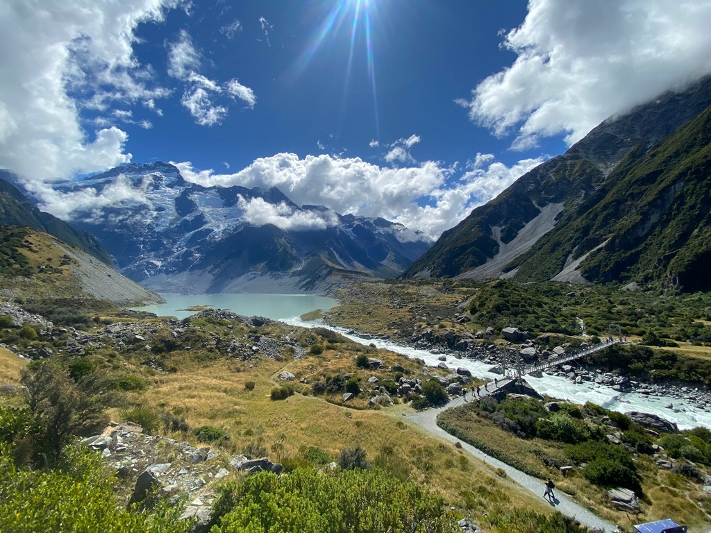
Wait, that's Aoraki/Mt. Cook!
Wow
I am going to do a series of bathrooms in nice places. I am going to call it "Loos with Views"
Hooker Lake and the top of Aoraki/Mt. Cook
What to do when the mountain breaks through the clouds? Yep.
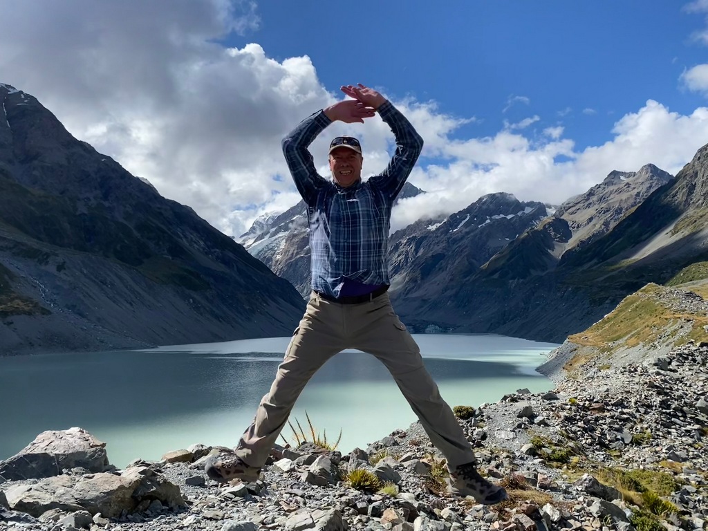
Walking back
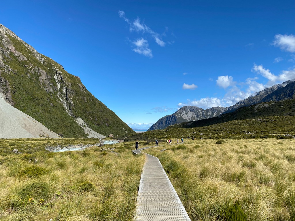
Back at the trailhead I can't believe the view
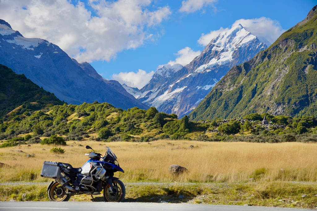
Bye
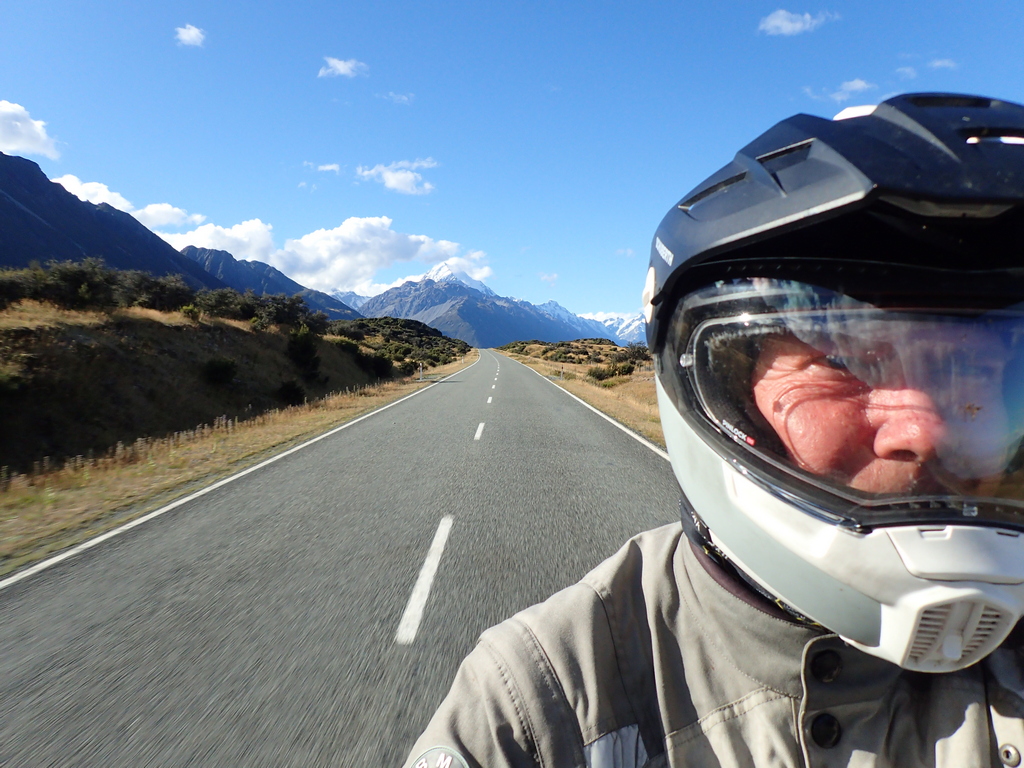
Beautiful Lake Pukaki and the clouds have obscured Aoraki/Mt. Cook
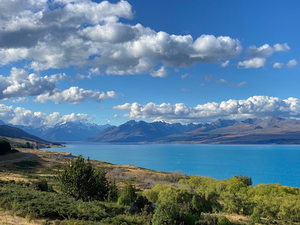
Otematata's Best Dam Pub
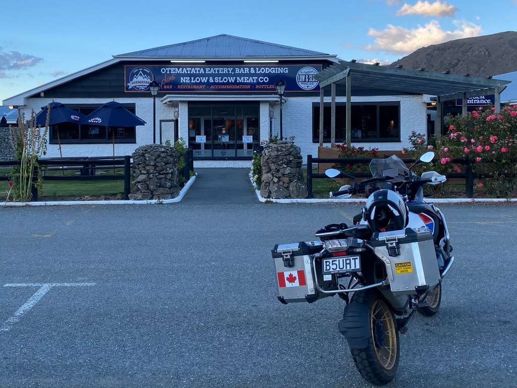
Riding home into the setting sun
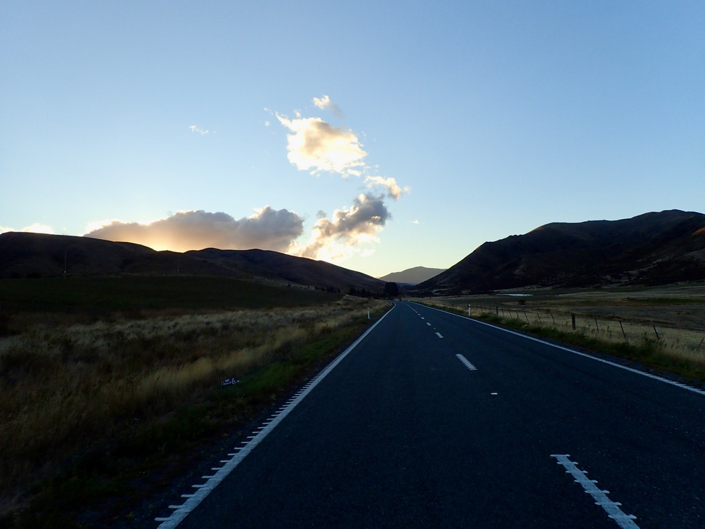
Chapter 5 Tracks
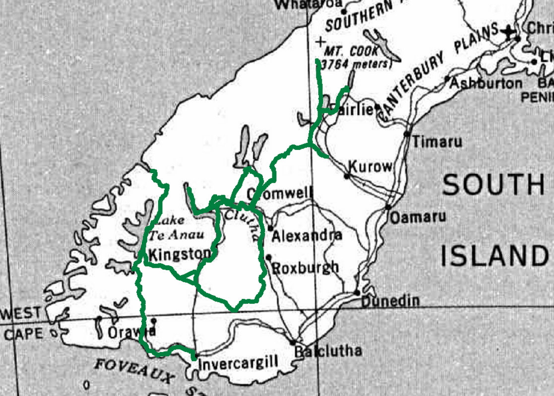
South Island tracks so far
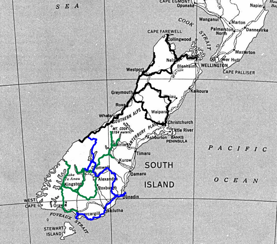
Chapter 6: Finishing the South Island
Chapter 6: Finishing the South Island
March 5 – Omarama to Christchurch
Except for a minor international incident, Wednesday was an excellent day. It started off quite cool with 6° but by the time I got on the road it warmed up to 11°. At least it was a bright blue day and when I got to Lake Pukakai the views of Aoraki/Mt. Cook were spectacular. I met an American couple on a bike similar to mine and he offered to take my photo. When returning my camera, he asked if I was Canadian. I replied yes and with a smile he said, “How do you like becoming the 51st state?” Without hesitation I said, “F**k off,” pointed at the exit and told them to get out of here. Now I am not an especially sweary person, so I am a bit embarrassed at my response, but Trump had enacted 25% tariffs just a few hours before, essentially declaring an economic war on Canada with the stated goal of making Canada the 51st state. Thankfully, the rest of the day was much better, culminating in a wonderful visit with Roger and Kay in Christchurch. Roger and Kay were going to come on the GlobeRiders tour from Muscat to Munich and their sidecar unit had already been shipped to Oman when Roger got hurt. They cancelled their trip and missed the tour. I contacted them a week or two before and when I said I would be visiting Christchurch they promptly invited me over. We had a wonderful visit, first over a locally sourced supper of potatoes, corn on the cob and a Greek salad and rabbit stew (shot on the property to control these pests) followed by a rhubarb and quince crumble with mulberries and homemade ice cream. Almost everything came from their property. That's what I call shopping local! After supper, Roger gave me a tour of their gardens and his motorbike collection. Truly wonderful people.Leaving Omarama on a bright blue day
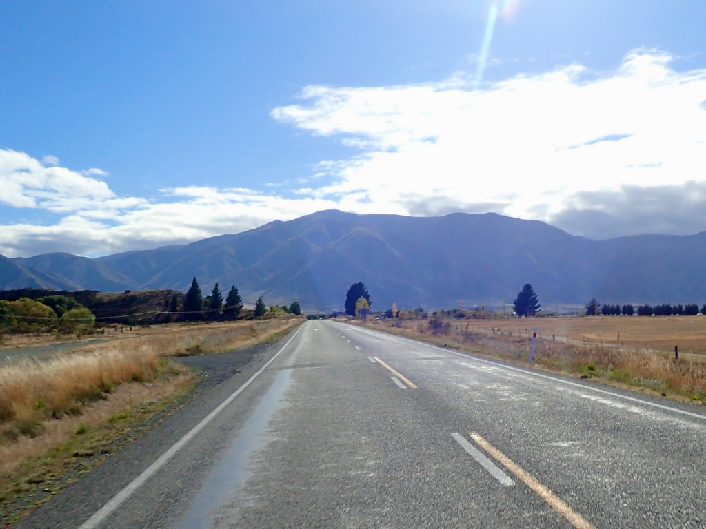
It was cool for most of the day, usually around 12°
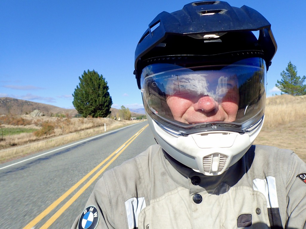
Oh wow, Aoraki/Mt. Cook and Lake Pukaki
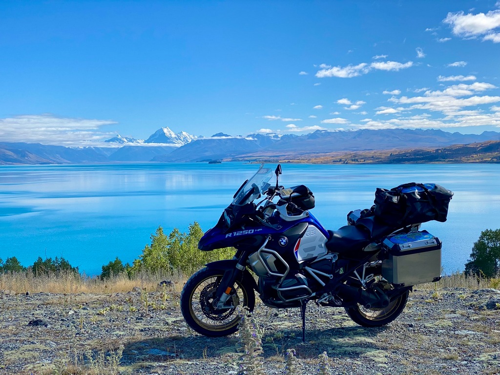
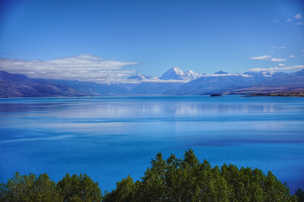
Thanks for taking my photo, not so much for the 51st state comment
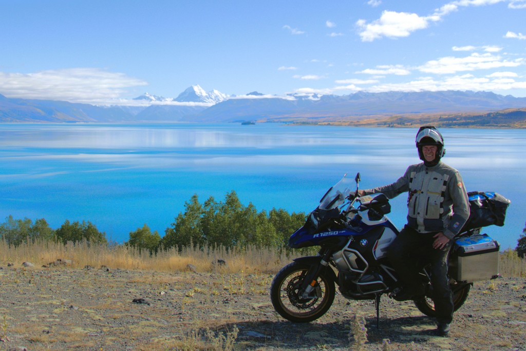
Church of the Good Shepard on Lake Tepako
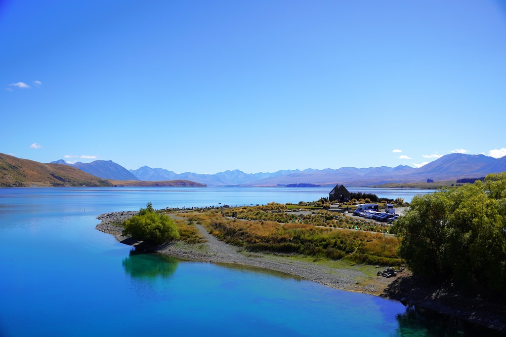
Church of the Good Shepard
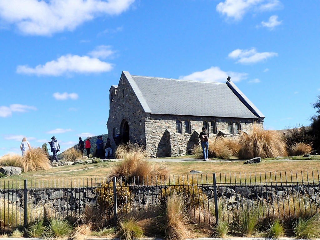
Skirting the mountains around the Canterbury Plain
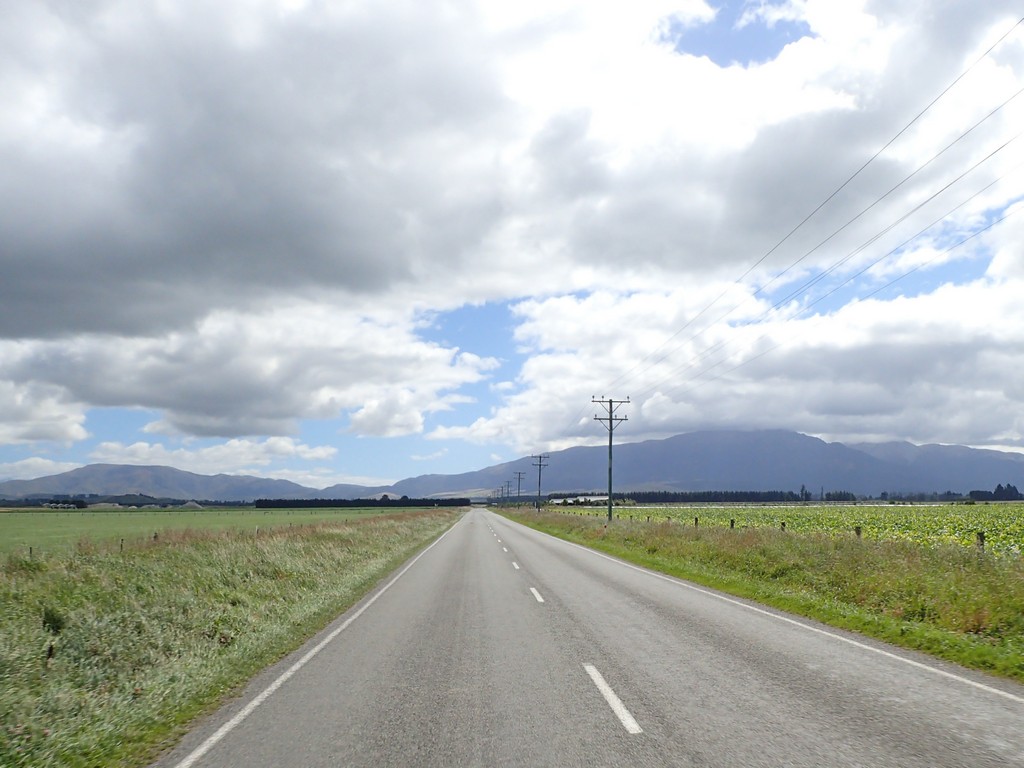
The edge of the Canterbury Plain on the way to Christchurch
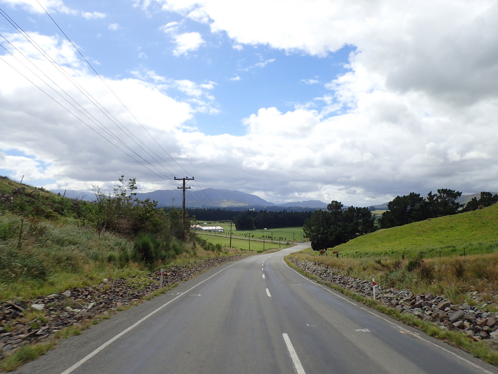
Arrive at Roger and Kay's house on the outskirts of Christchurch
What beautiful gardens!
They have planted native vegetation with the hopes of returning it to its natural state
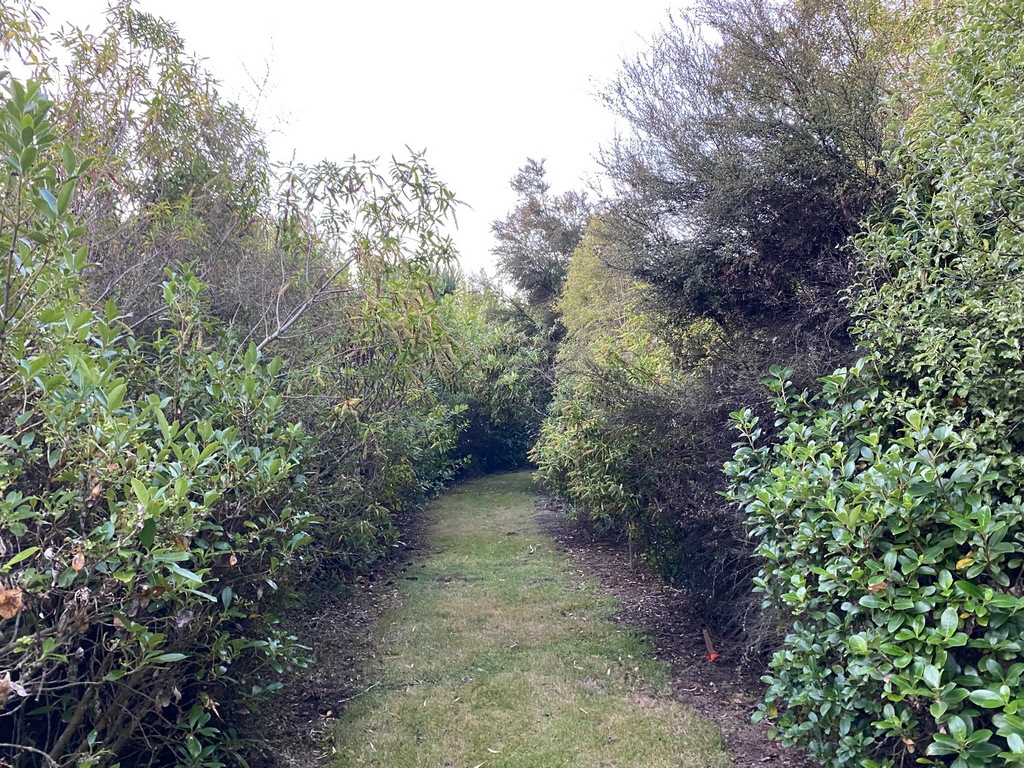
The Chinese Gooseberry until the marketing moguls changed the name to the Kiwifruit so it would sell better
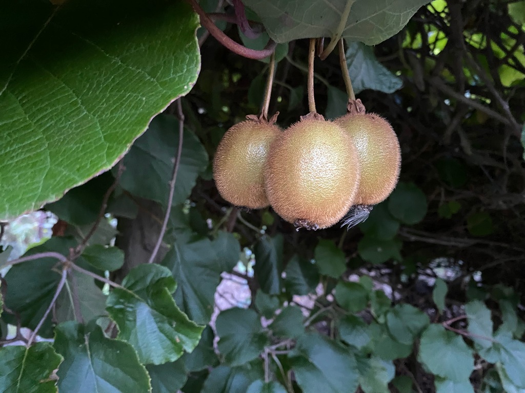
The bike Roger and Kay had shipped to Oman for M2M (they bought it from Helge Pedersen and had it shipped to New Zealand from the USA so it's been around)
A rare Kawasaki GPz750 Turbo
The first bike I ever bought with my own money! A Kawasaki KZ750.
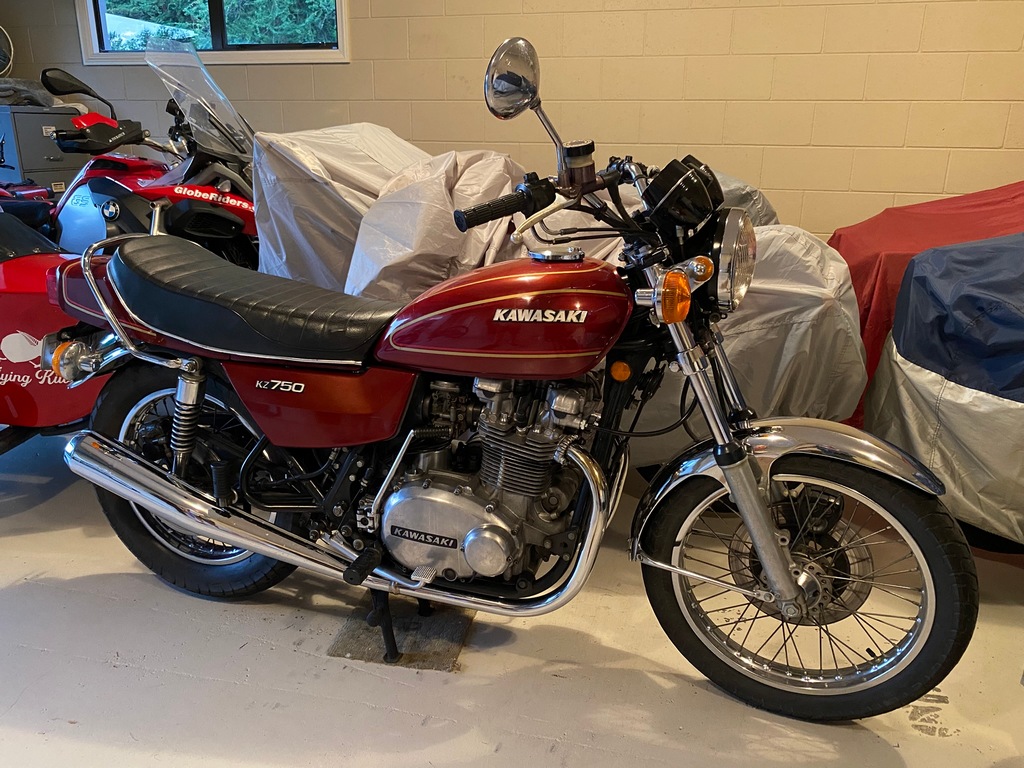
A 230hp supercharged Kawasaki H2
What a wonderful evening with Roger and Kay!
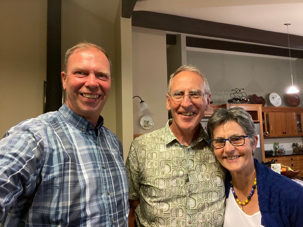
March 6 & 7 – Christchurch
I had a nice couple of days in Christchurch. On Thursday I met up with Chris Carey as suggested by John Jesson. We had a great afternoon chat about our world motorcycle travels. Chris knew Mike Hyde, author of the book Twisting Throttle that I have been using to find amazing roads in New Zealand. I knew that Mike had passed away, but I was stunned to find out that he had passed away from brain cancer, just like Audrey. After our coffee chat, I walked over to Quake City for a fascinating exhibit on the two major earthquakes that devastated Christchurch in 2010 and 2011. Friday, I rode out to the Banks Peninsula to play along on some amazing roads as recommended by Mike Hyde. Akaroa was settled by the French in 1840, and it has retained a lot of its French identity, including French street names. When I checked the menu at the Brasserie, I didn’t find too much French influence so if I wasn’t going to have a French lunch I might as well go to the Corner Café for a beef pie. After lunch, I rode back along the volcanic peninsula to Lyttelton and Godley Head to check out the gun batteries from World War II. You might think that New Zealand wouldn’t have been under much threat, but they did find 10 German magnetic mines at the harbour mouth, so protecting Lyttelton's harbour wasn’t that far fetched.Meeting Chris for an afternoon of chatting about motorcycle travel
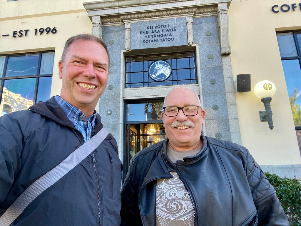
Quake City
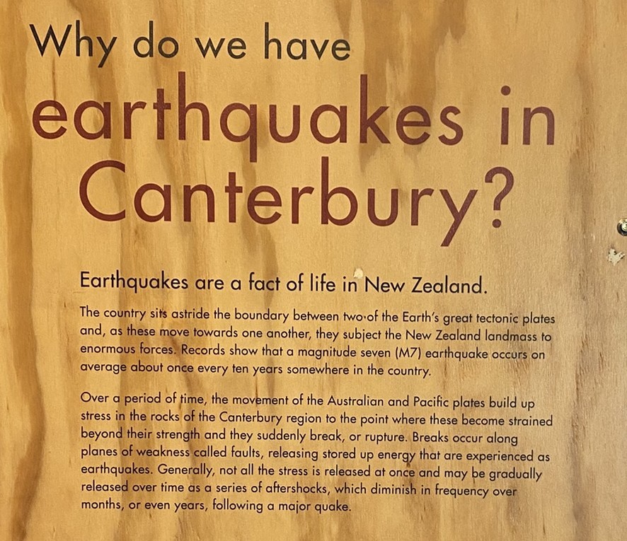
The February 2011 quake, following on the heels of the September 2010 earthquake was especially devastating
80% of buildings in the Christchurch CBD were damaged or destroyed
New, earthquake resistant construction using wood
Nice seeing it in the real world
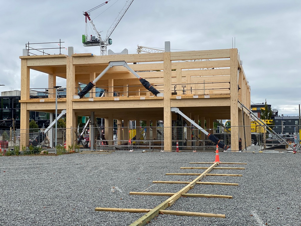
Even my hotel's staircase seems like it has been designed with earthquakes in mind
Riding out to the Banks Peninsula, dancing along the hilltops
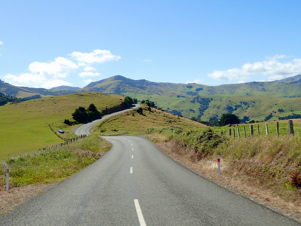
Looking down on Akaroa
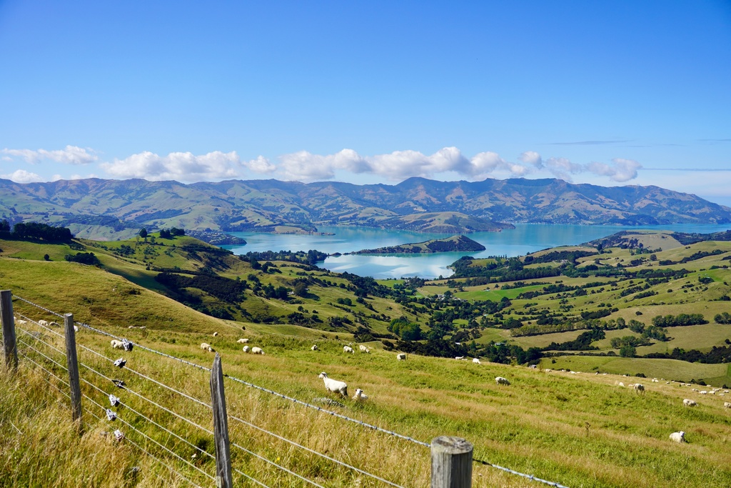
Crossing over to the other side if the peninsula to Little Akaloa
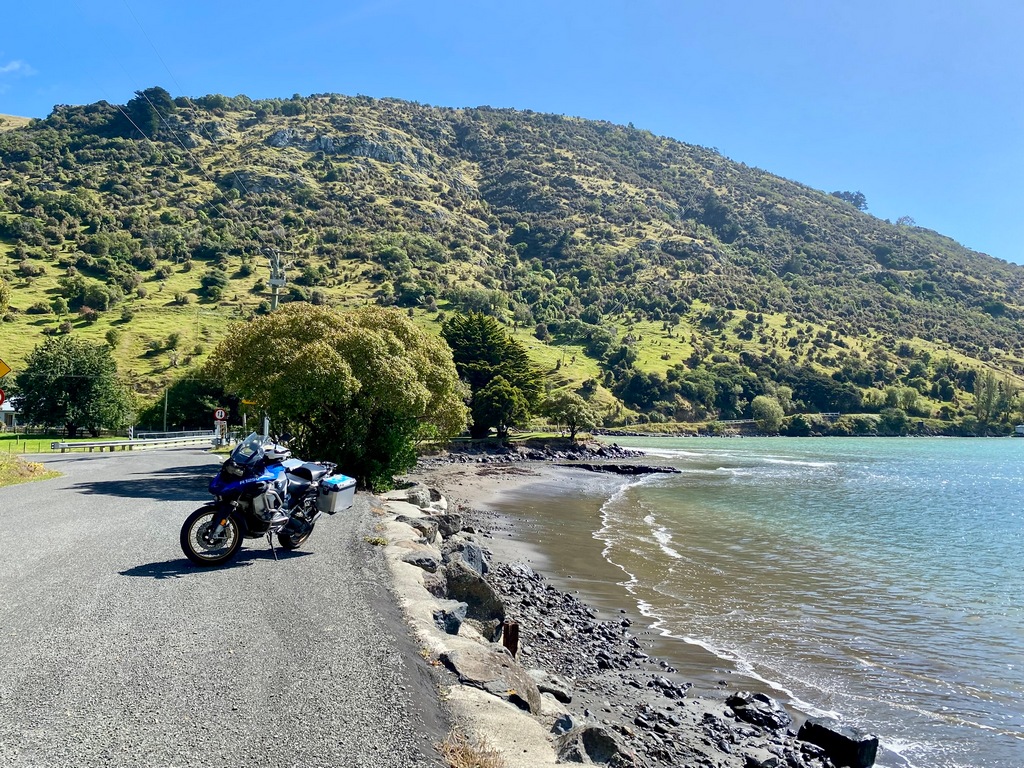
Inland back towards Akaroa
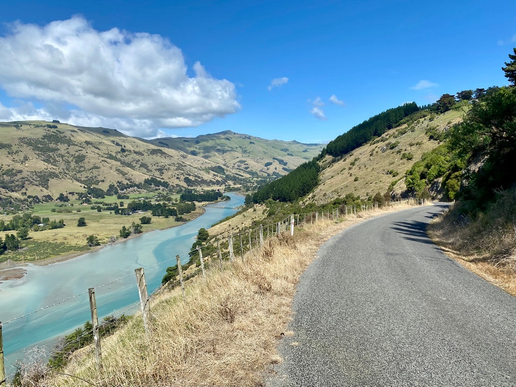
Cruise ship in Akaroa's harbour could mean the town will be busy
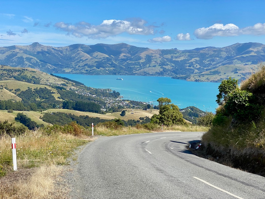
Cool trike on the way to Godley Head
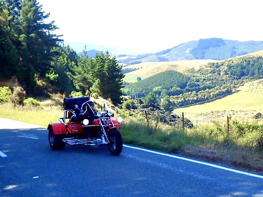
Fairly remote Godley Head
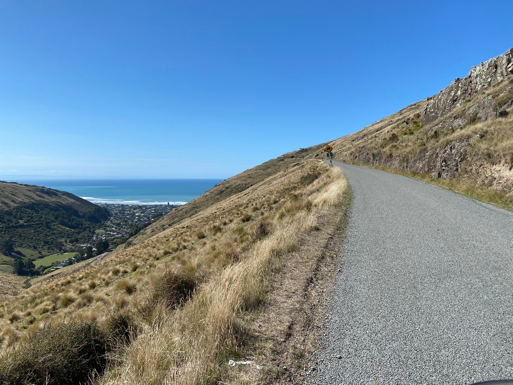
Observation post keeping an eye on Lyttelton's harbour
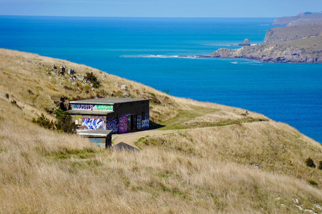
One of two gun batteries
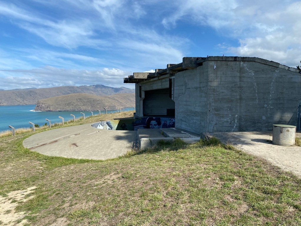
From the inside (the mural recognizes the role women played in New Zealand's defence)
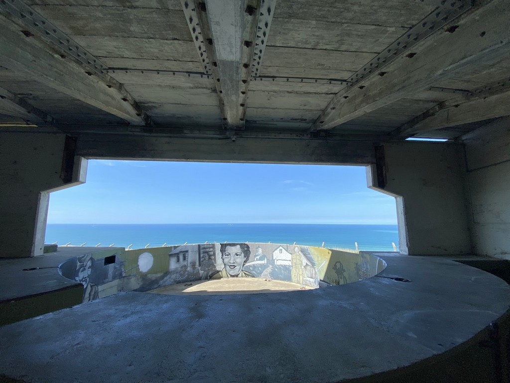
The second gun battery
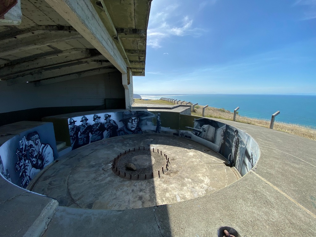
The range the batteries could fire
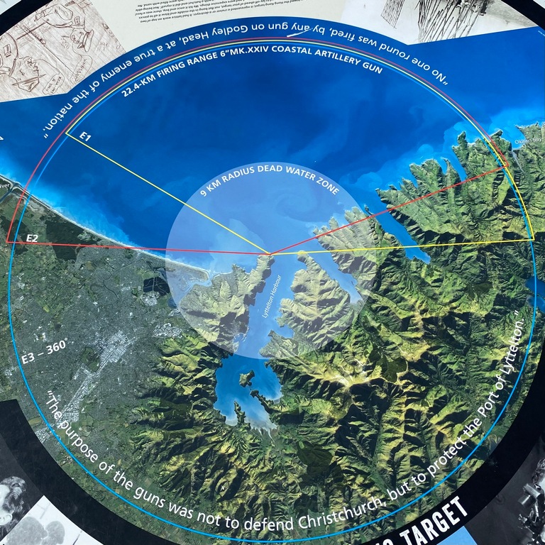
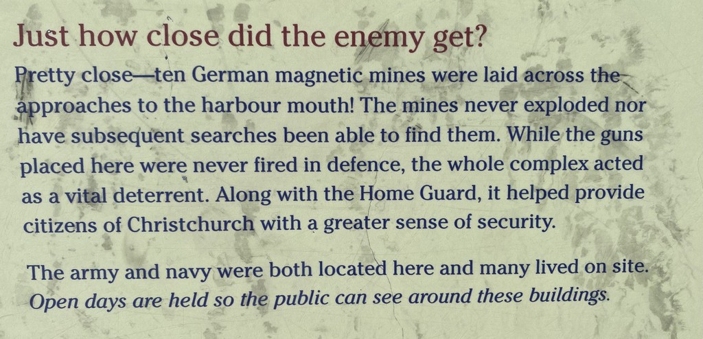
Nowadays, paragliders take advantage of the steady winds
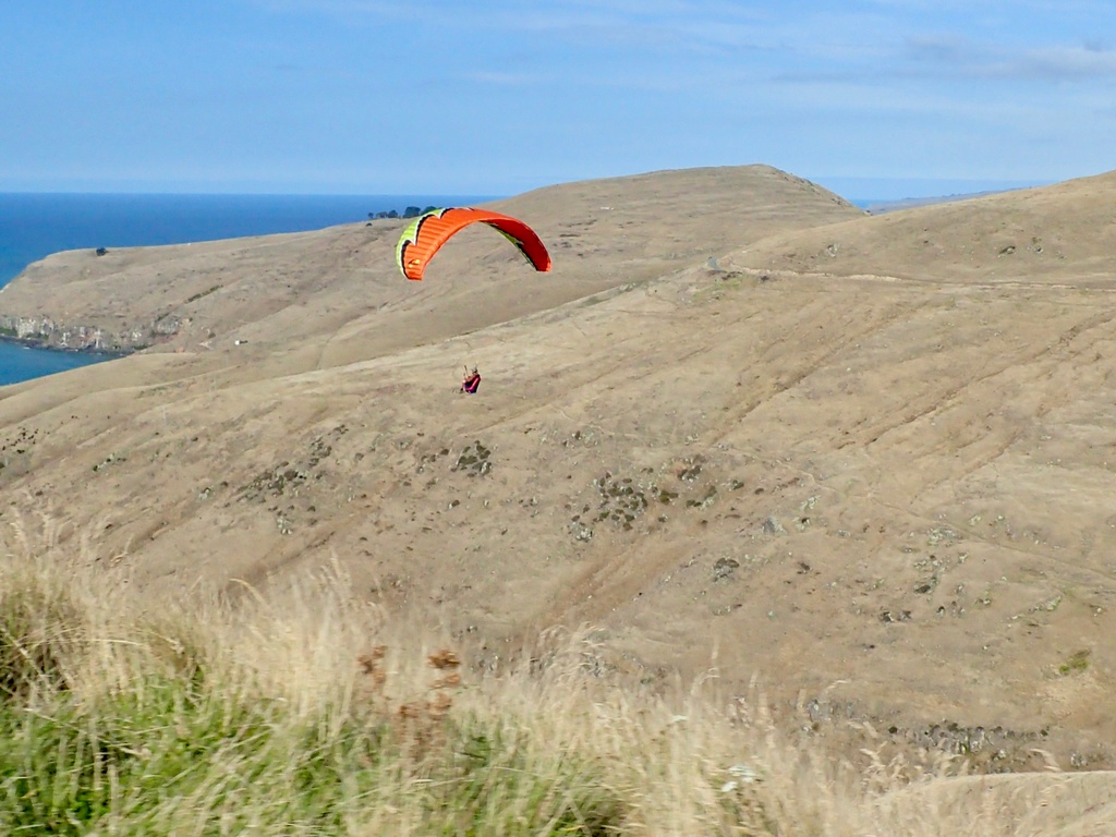
Christchurch is lost in the haze
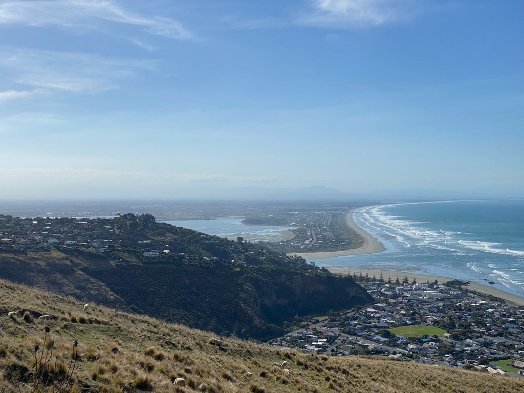
March 8 – Christchurch
I decided to spend an extra day in Christchurch, ostensibly to finish Chapter 5 on our website. While I did manage to do that, I also did my own walking tour of Christchurch. After a “pain aux raisin” at Bohemian Bakery I walked over to the Bridge of Remembrance and up the Avon River to the Botanical Gardens. I could have spent the whole day in the gardens, there is just something so magical and relaxing about them.Pain aux raisin and the latest issue of Cycle Canada while live music is played. Does it get much better than this?
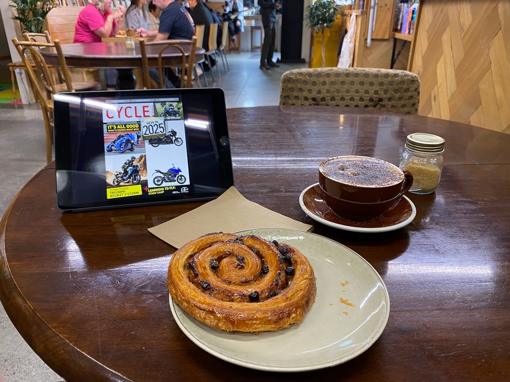
Bridge of Rememberance
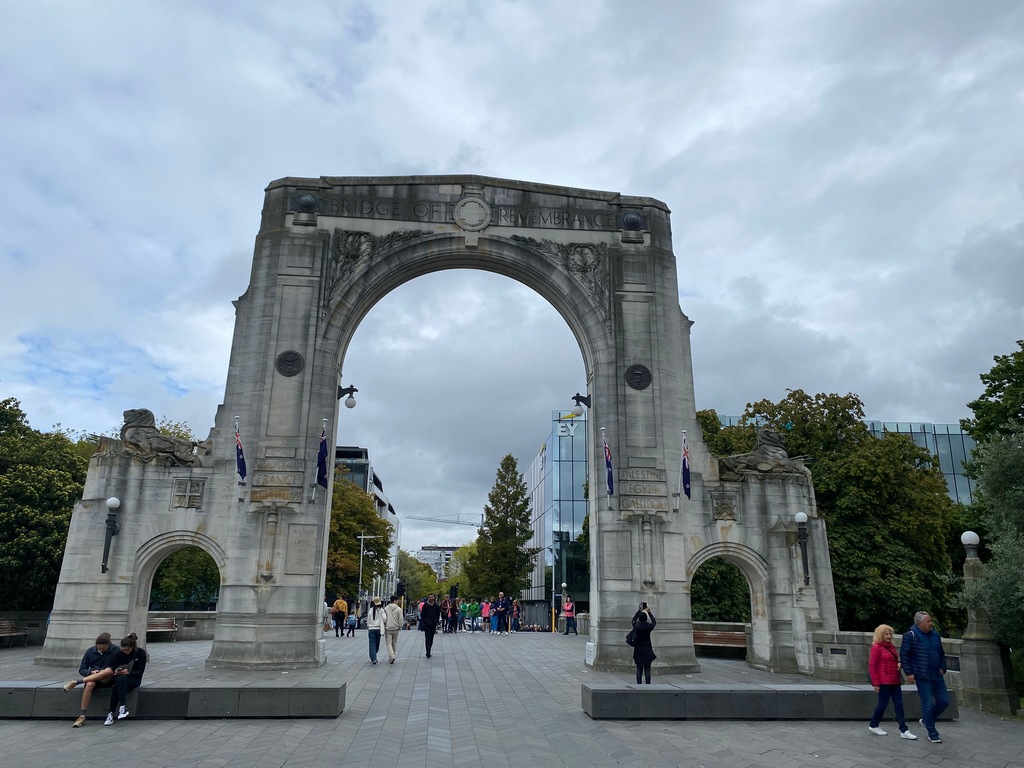
A stroll along the Avon
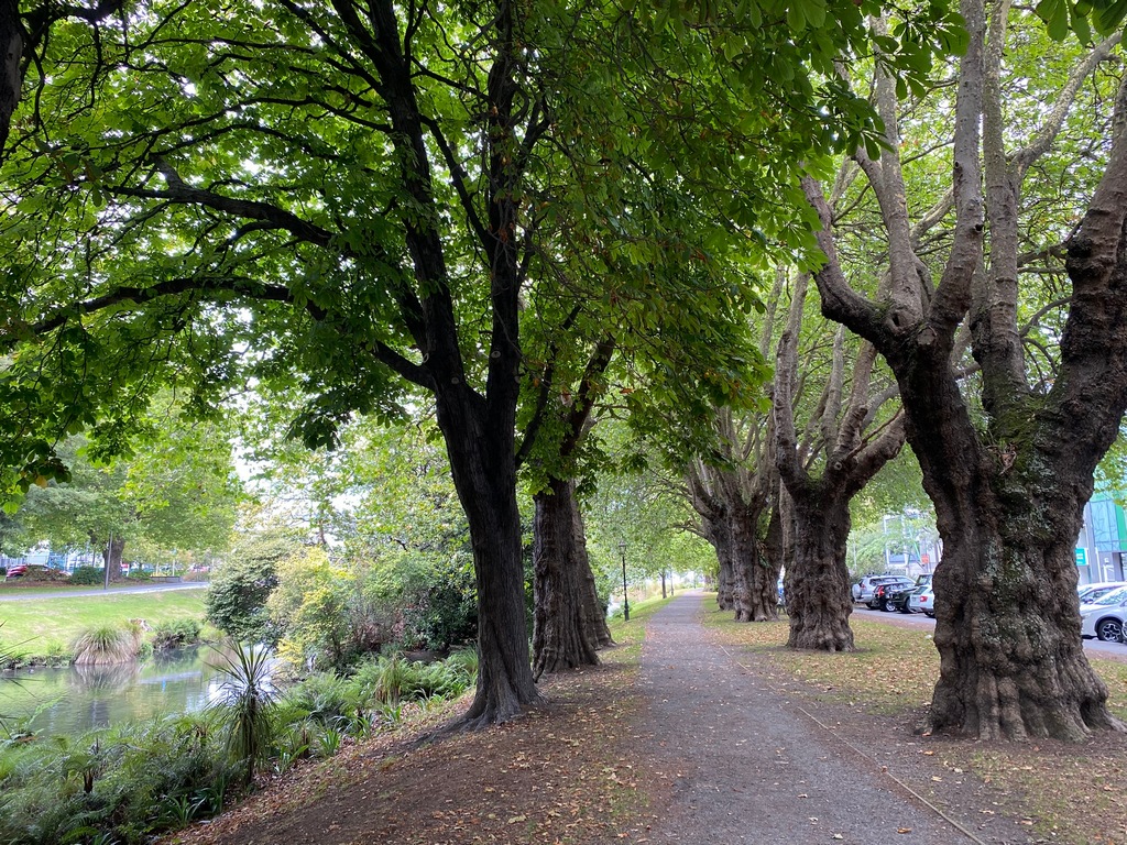
Punts are all booked up for the day
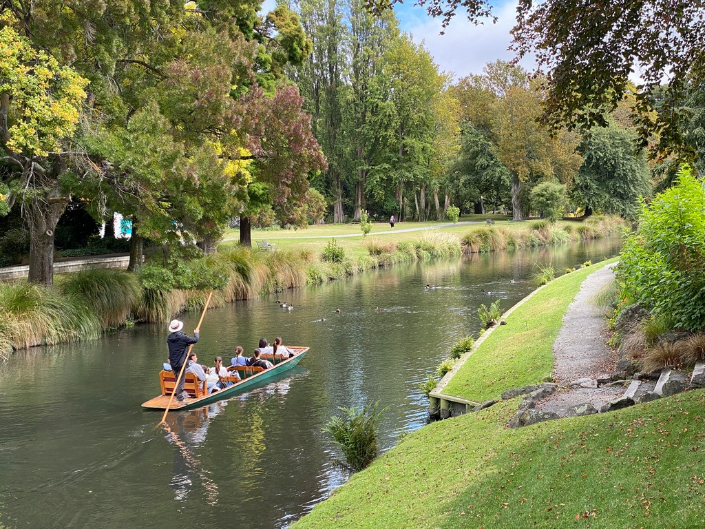
The botanical gardens
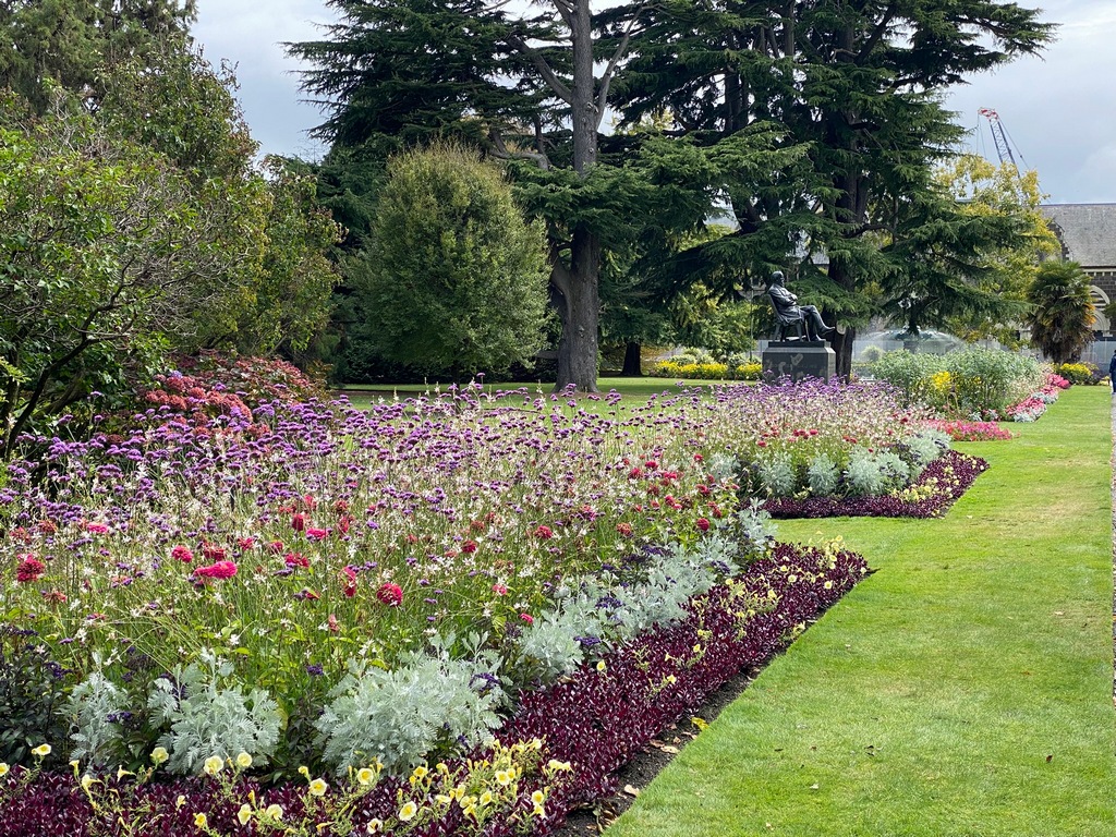
A wonderful collection of native trees are throughout the park
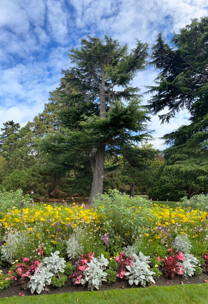
The rose garden
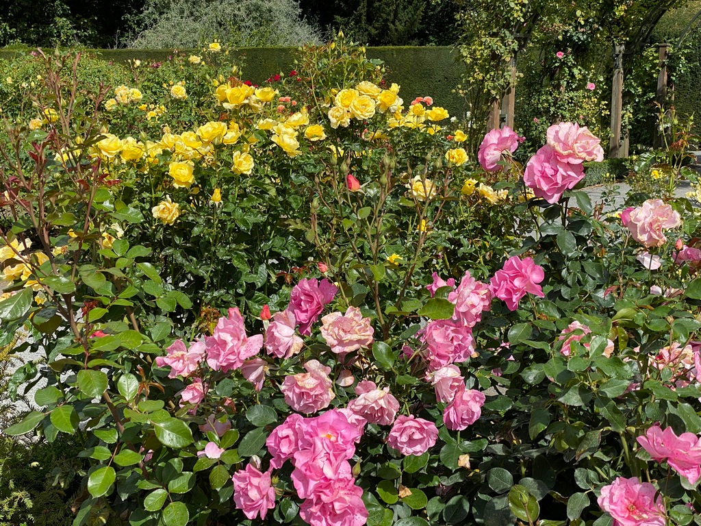
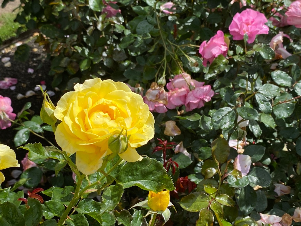
A peaceful pond in the middle of the botanical gardens
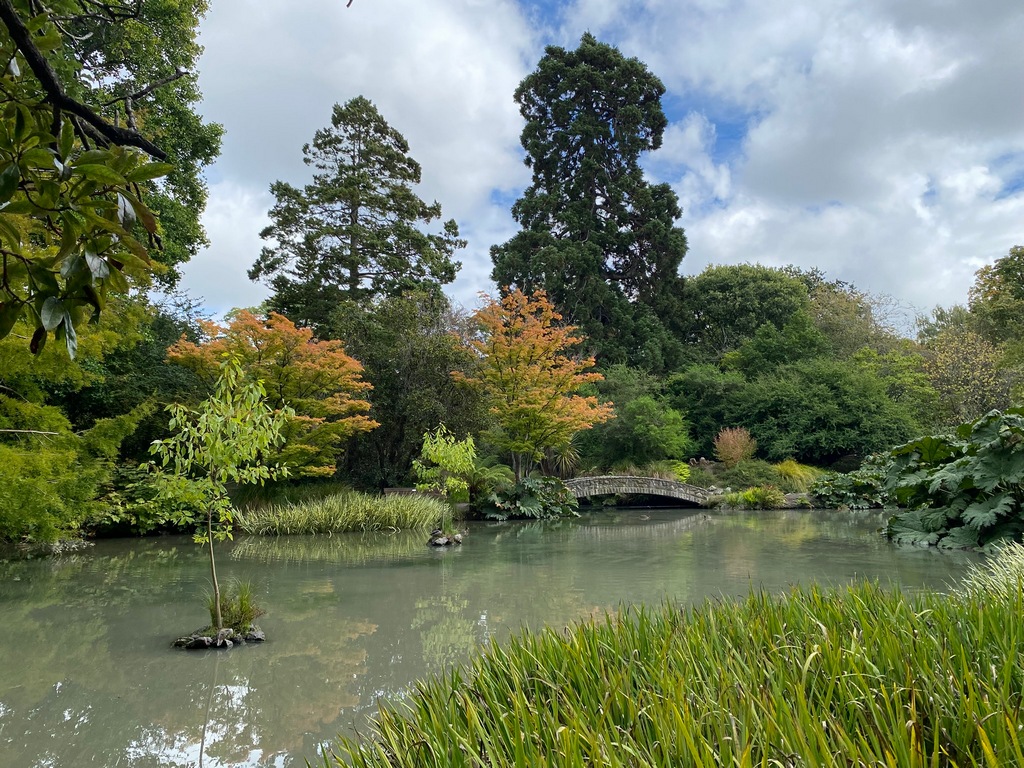
Sculpture or pigeon stand? You decide.
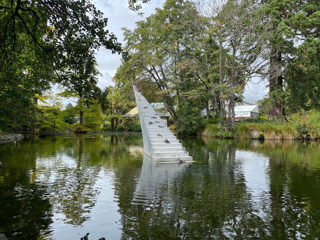
Lots of street art throughout Christchurch
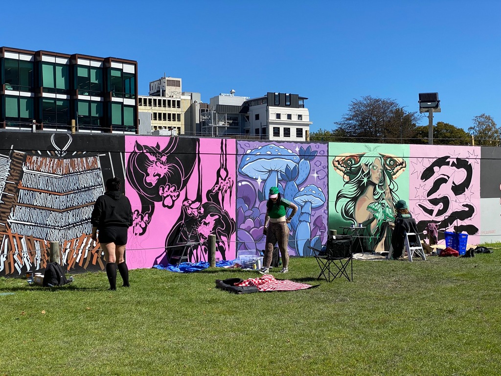
A mural dedicated to John Britten
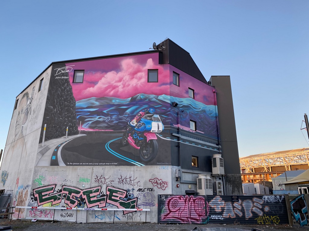
Christ-church Restoration City seems appropriate for a building under constructrion
Perhaps New Zealand's most famous son: Sir Edmund Hillary
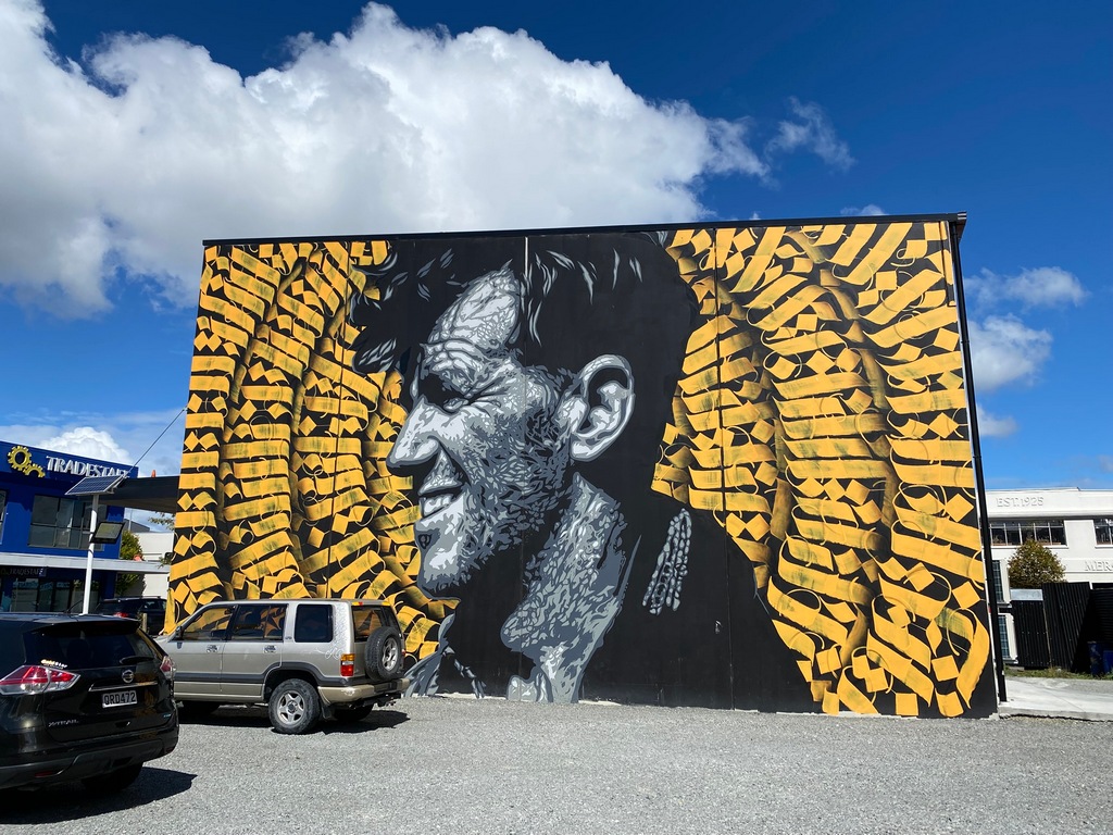
Commemerating Queen Victoria's Diamond Jubilee
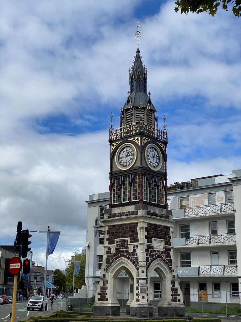
Teh famous Christchurch Cathedral undergoes restoration
The cathedral should be restored at the end of 2027
Art of a different sort (New Zealand is amazing for the number of classic cars you see on the road being driven)
March 9 – Christchurch to Kaikōura
After almost five weeks on the South Island, it is time to head back north. I took a couple of days to ride from Christchurch to Blenheim, which is just a half hour's ride from the ferry terminal where I’ll cross over to Wellington on 12 March. On Sunday I rode the short distance up the coast to Kaikōura, arriving early enough to do a three-hour hike in the afternoon. I walked around the peninsula, checking out a couple of seal colonies, for a distance of about 11 kilometres. Maybe a little more as I missed the stairs going up and walked around the headland a ways before doubling back.Leaving Christchurch on the motorway northbound
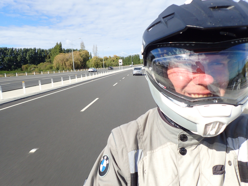
Just another classic car being driven. I love New Zealand!
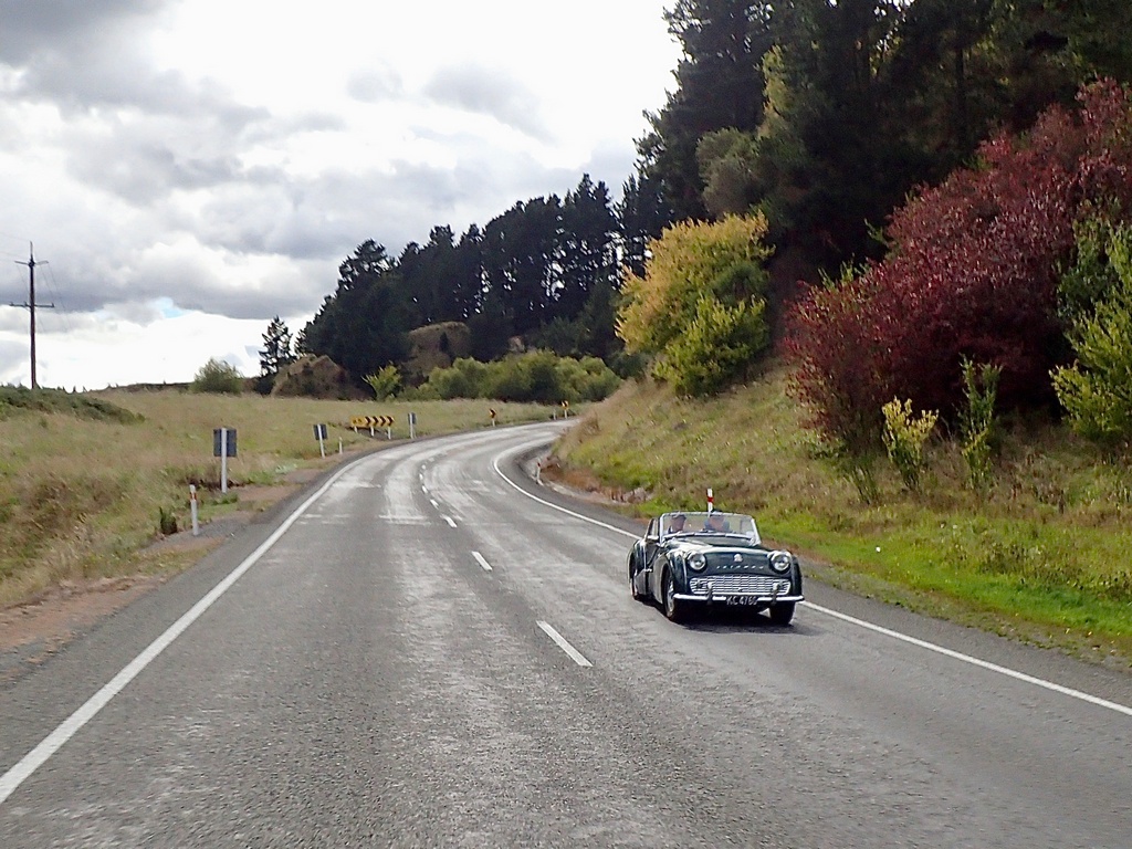
The trees are starting to think about changing colour as fall approaches (21 March is the first day of fall)
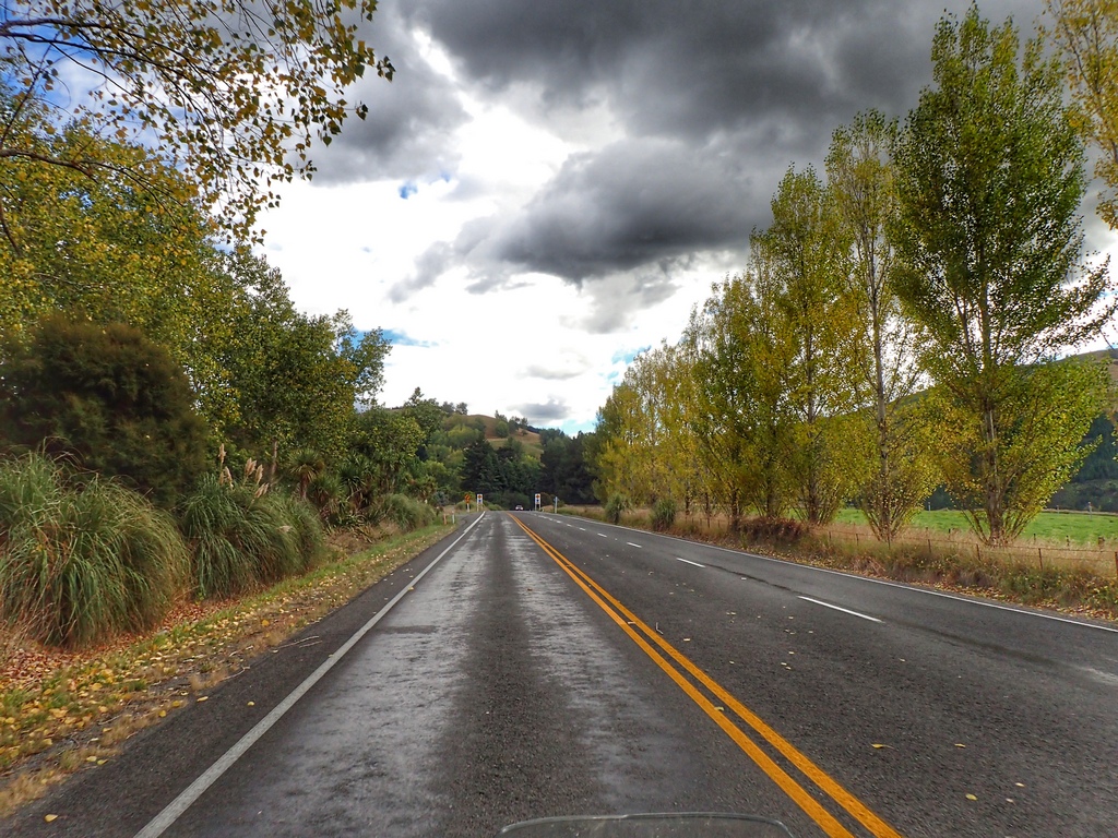
The road goes along the coast
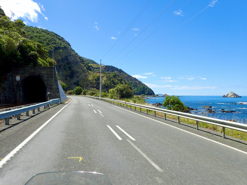
Love these twin tunnels. (But why is there a max headroom on the opposite tunnel? It seems to me you would have other problems if you were over there)
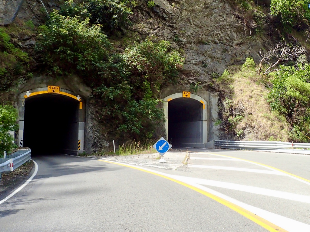
Welcome!
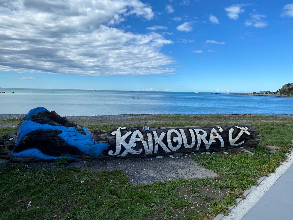
Going for a walk along the shore
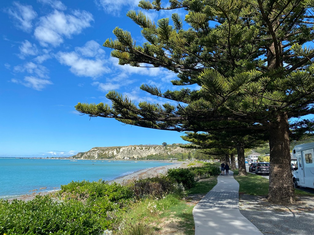
Across to Mount Manaku
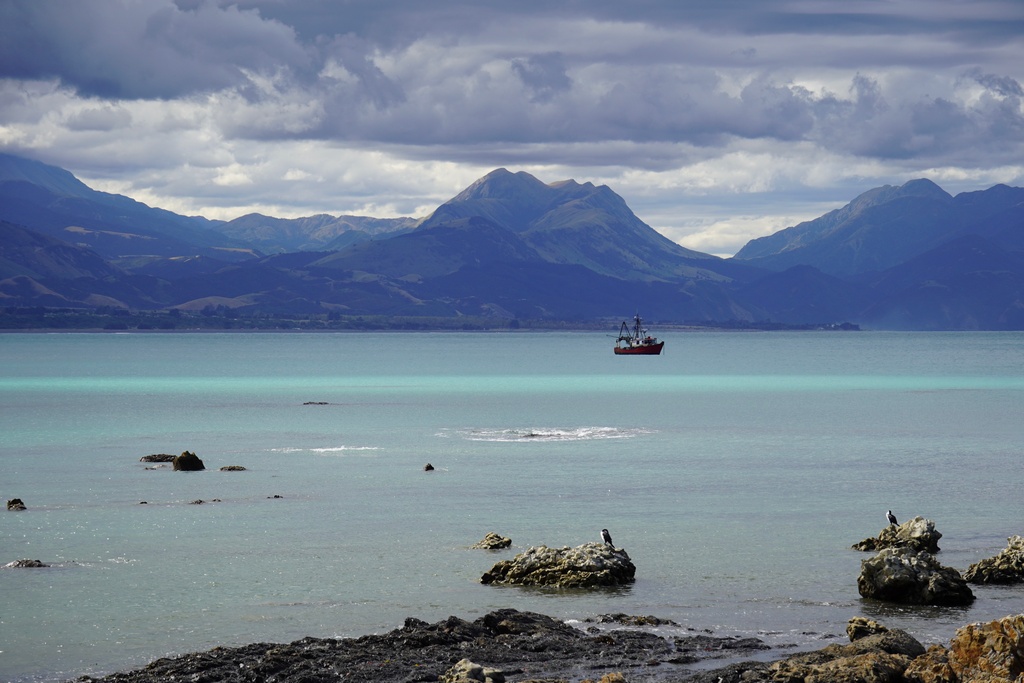
Love these trees!
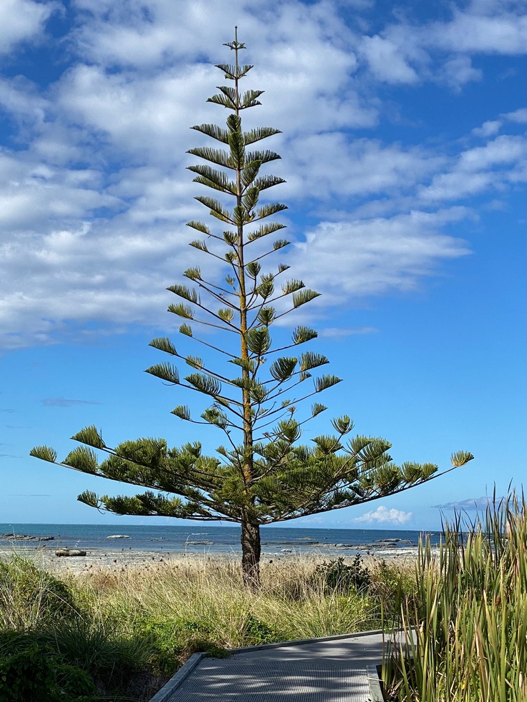
There are two seal colonies on the peninsula
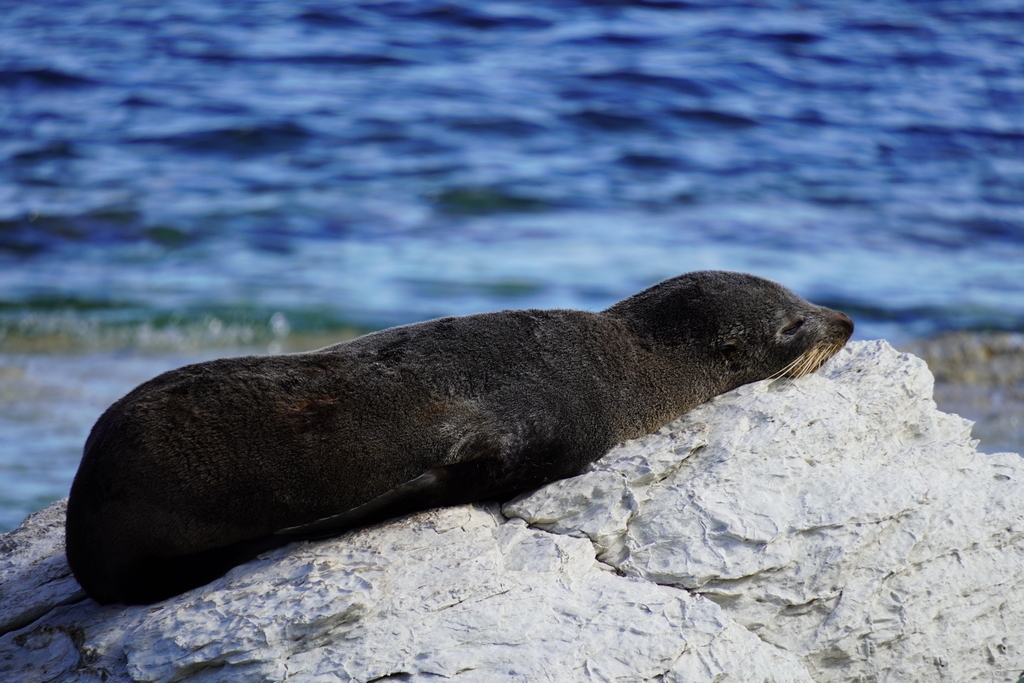
Mom doesn't seem too keen on the pup nursing
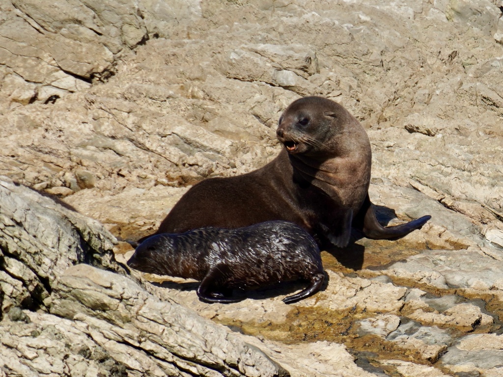
Nap time!
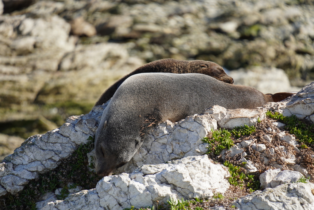
I missed the stairs to the headland as they were hidden in bushes
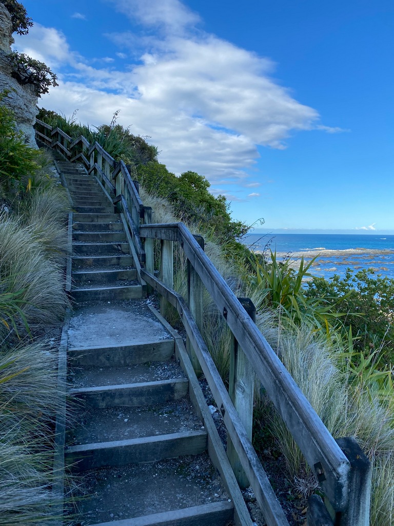
The view from the headland looking south
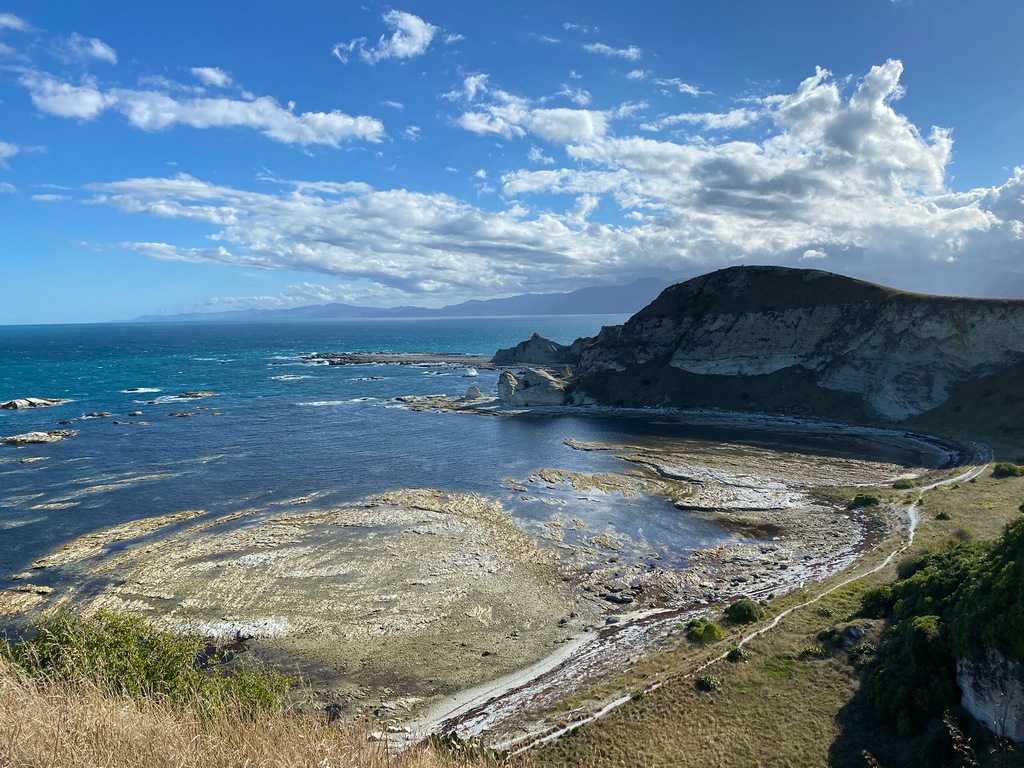
With the stiles this really reminded me of walking in the Cotswolds
Southland Bay
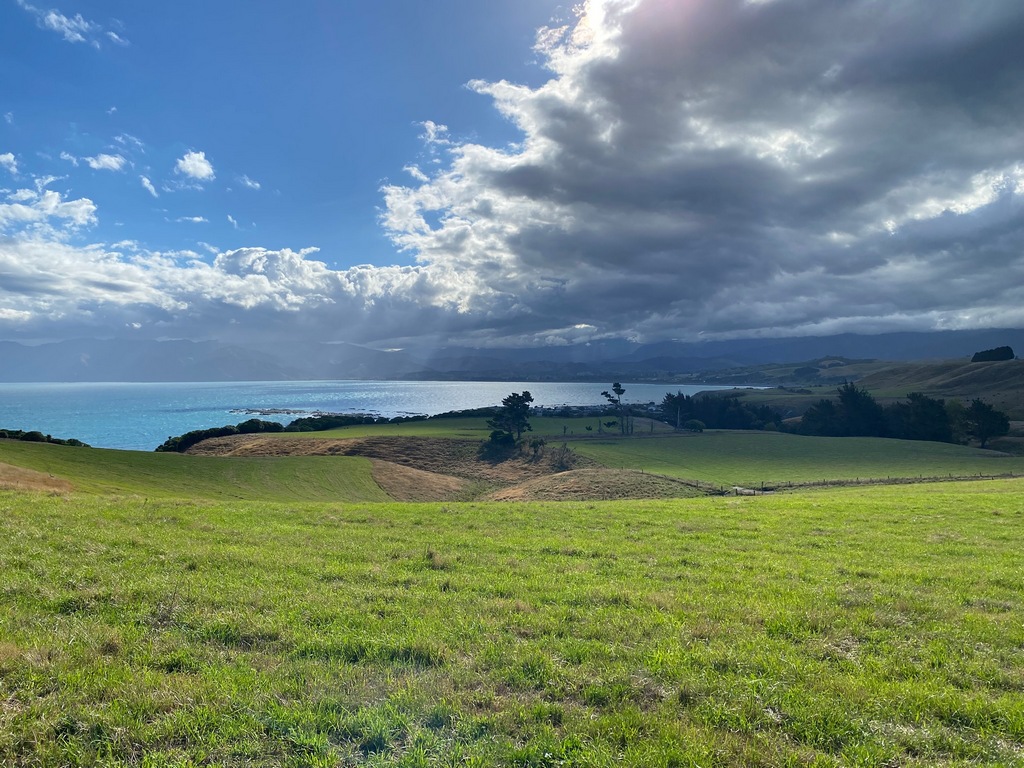
Back through the forest to town
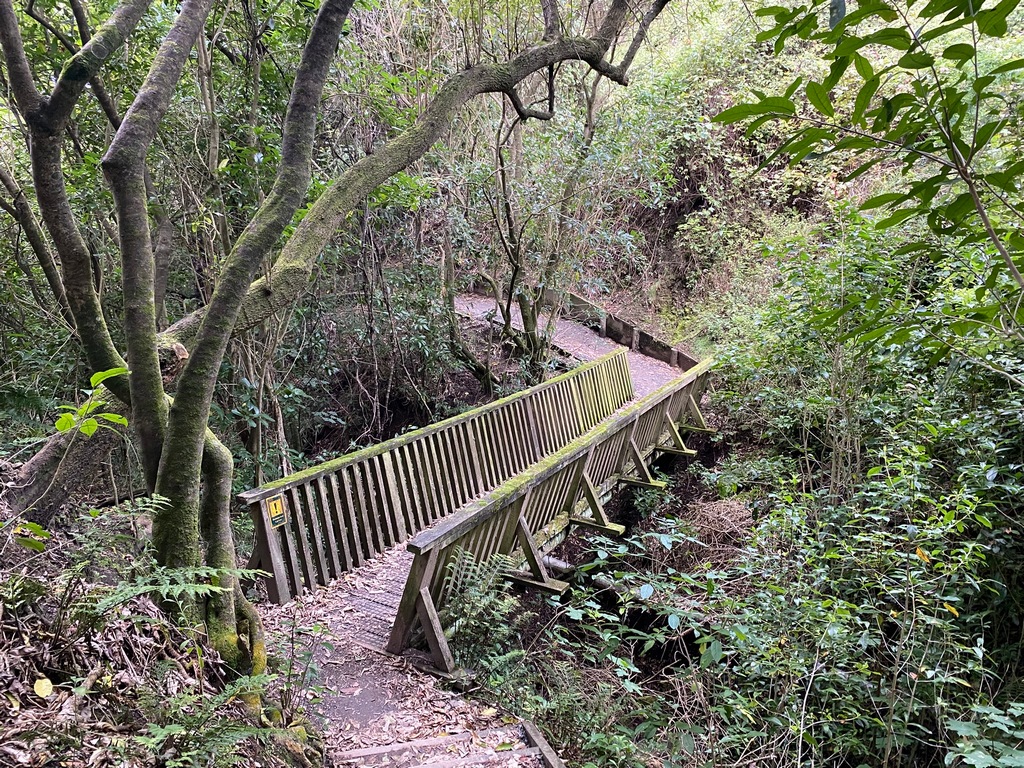
March 10 - Kaikōura to Blenheim
Monday was another short ride from Kaikōura to Blenheim and I got there about noon, but rather than going for a hike in the afternoon I went for a ride out to Kenepuru Head. I think this was one of the twistiest, bumpiest roads that I've done. In addition, there was quite a bit of storm damage, so there were many “slips” where the outer lane of the already narrow road had collapsed. When I stopped for a picnic lunch, I saw a text from Interislander ferry that my sailing on Wednesday could be affected by a gale. Uh oh. On my weather app I saw that 100 km/h winds were forecast for the same time as my afternoon sailing. So, when I checked into my motel in Blenheim I changed my ticket to a morning sailing, hopefully ahead of the storm. Let's see how that works out.
Leaving Kaikōura on another beautiful day
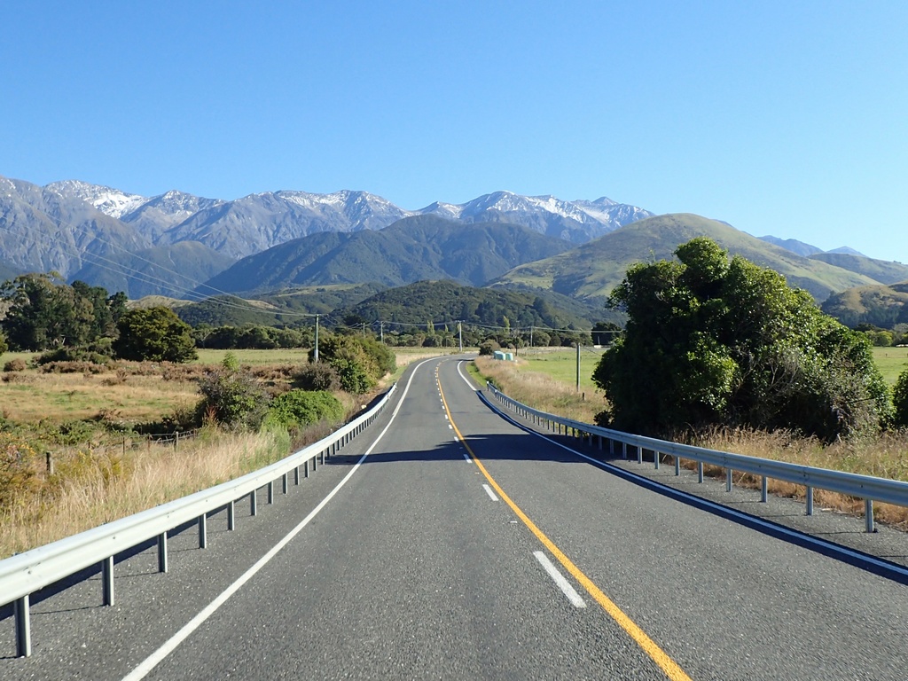
Heading north along the Pacific Coast
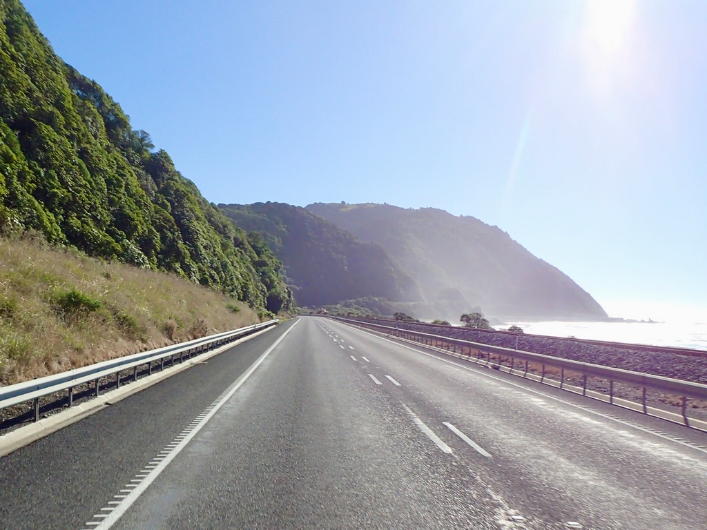
Blenheim is in Marlborough, heart of New Zealand's wine country
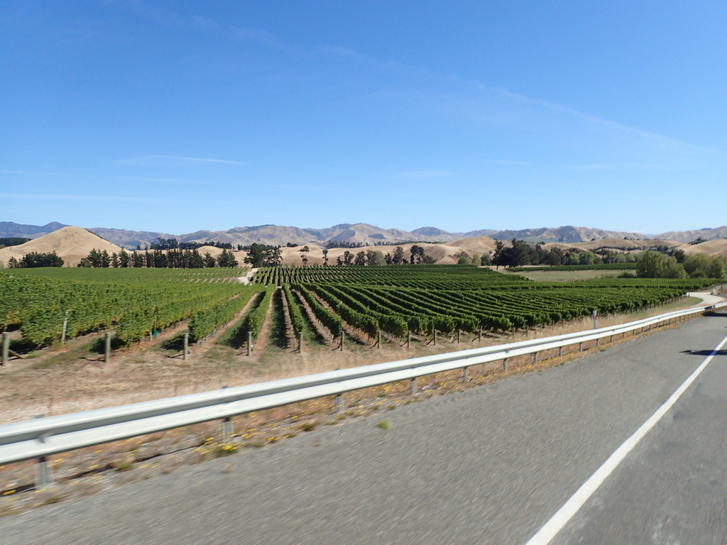
The afternoon's ride out of Blenheim
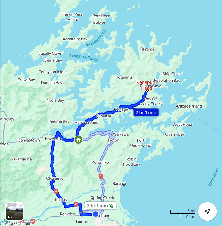
Well, this should be fun then
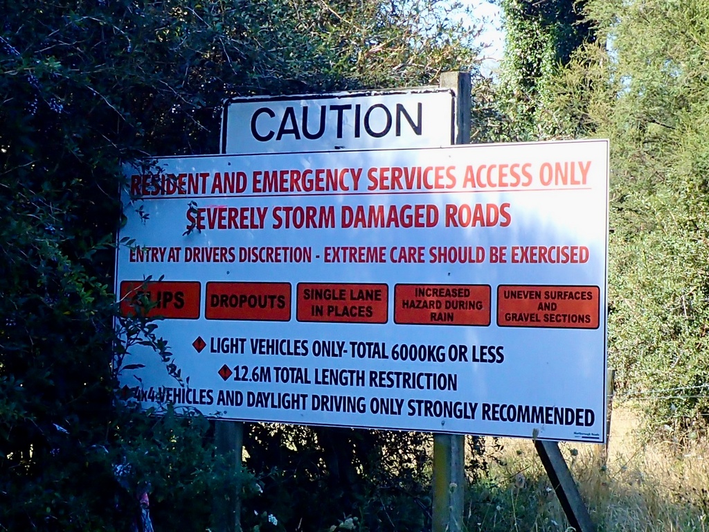
Ah, yes
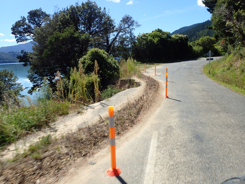
Overlooking Pelorus Sound
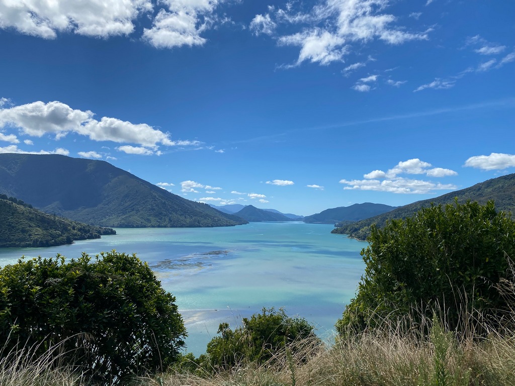
Lunchtime picnic at Mahau Sound
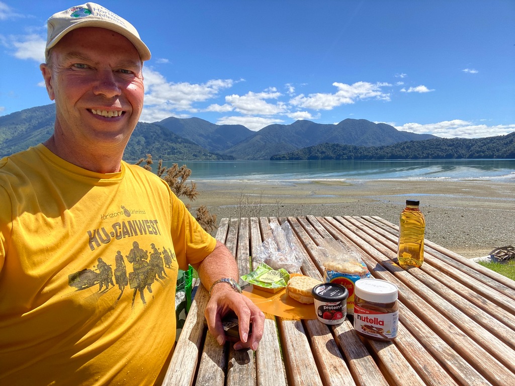
Keep your eyes open for these slips
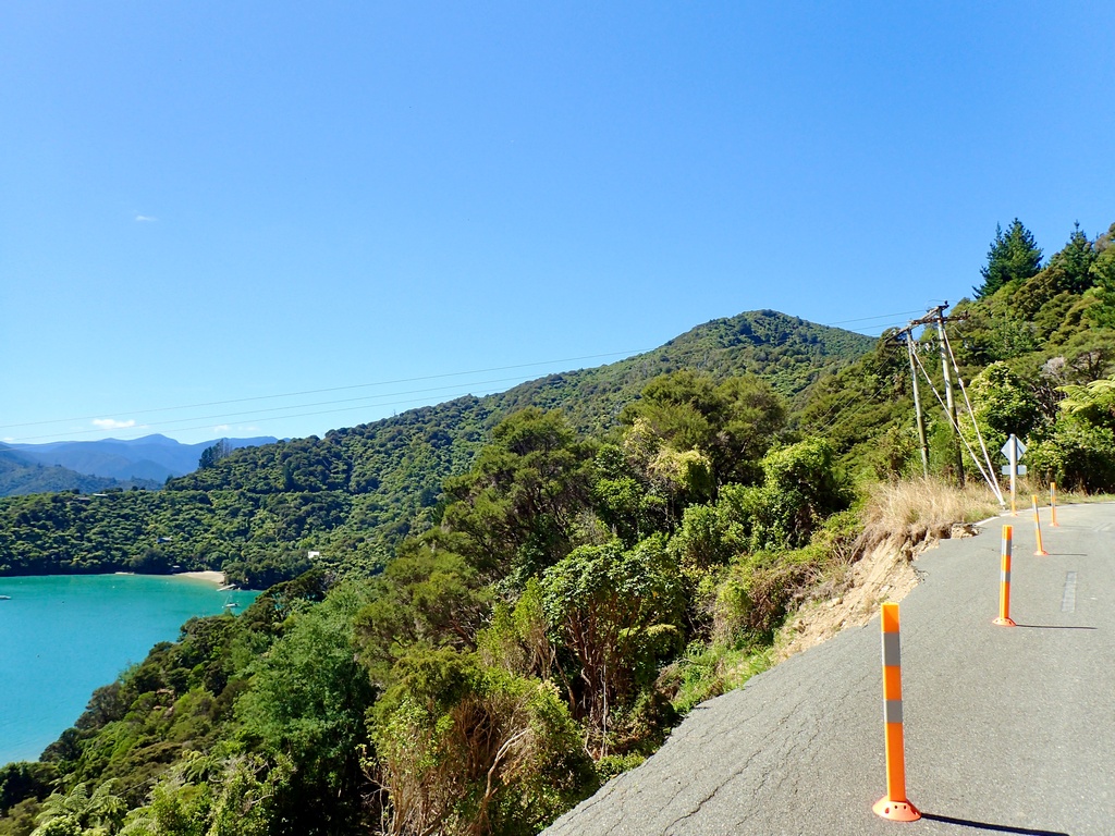
Looking up the Kenepuru Sound to my destination at the head of the sound

I find this a little baffling. In New Zealand it is common to put the speed limit for the road you are going to enter. But there is a yield sign just a few metres past the speed limit.
On the way to Picton
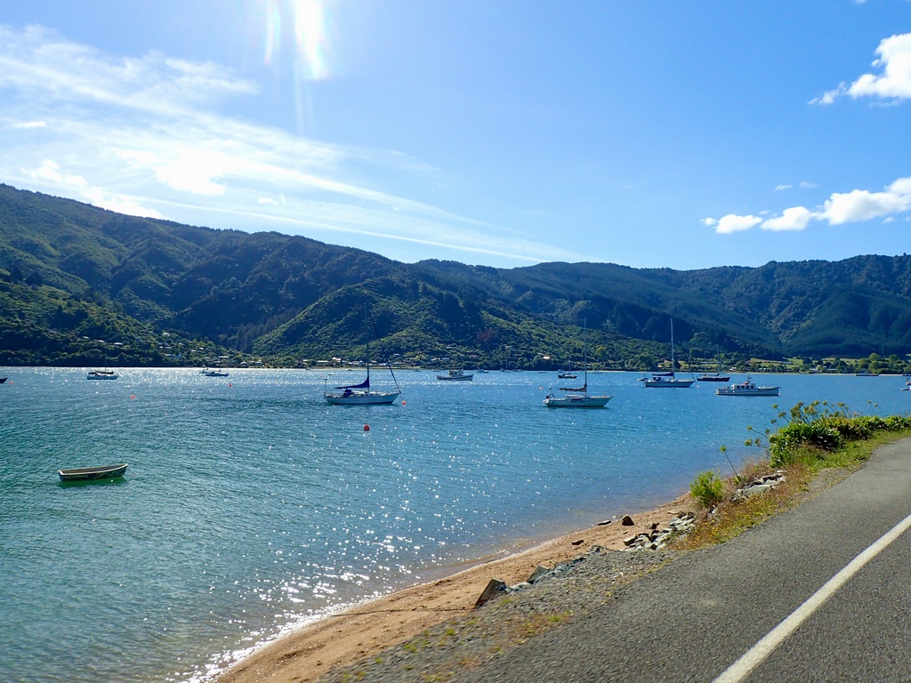
Ah, maybe I will reschedule my ferry to an earlier time, before the gale
March 11 – Blenheim
My original plan for the day in Blenheim was to ride out to French Pass. The pass isn’t the road, it is a very narrow channel off the northern tip of the South Island. But then I found out about the Omaka Aviation Heritage Museum and the nearby Omaka Classic Cars. The aviation museum featured Sir Peter Jackson's WW I aircraft and memorabilia and, just like his Lord of the Rings movies, was supposed to be quite amazing. So, I decided to stay in town for the day and visit the museums instead. While the classic car museum was closed (staffing shortage) the aeroplane exhibition was open and consumed most of the day. Each aircraft was displayed in a diorama that could have been taken from a movie set. While the information panels had the usual statistics, like wingspan and horsepower, they also had individual stories that brought the exhibit to life. I think my favourite was of Keith “Grid” Caldwell, a New Zealander whose plane was damaged in a dogfight. When he climbed out of the cockpit to jump out, he found the plane was still flyable with his weight on the wing. So, he flew it in for a crash landing while standing on the wing, suffering only minor injuries. Another exhibit showed Allied troops taking souvenirs from Baron von Richthofen’s crashed plane, and nearby, the original Iron Cross cut from the wing.A DC-3 at the entrance to the Omaka Aviation Heritage Museum (Audrey flew in a DC-3 when on a wild fire crew in northern Alberta)
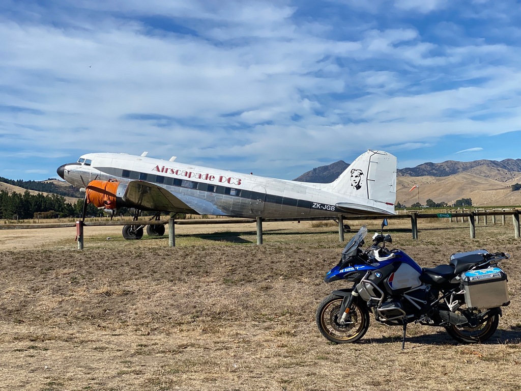
This is the World War I exhibit of Sir Peter Jackson's aeroplanes
The oldest plane in the collection, a Caproni Ca 22 from 1913, is the only surviving example in the world
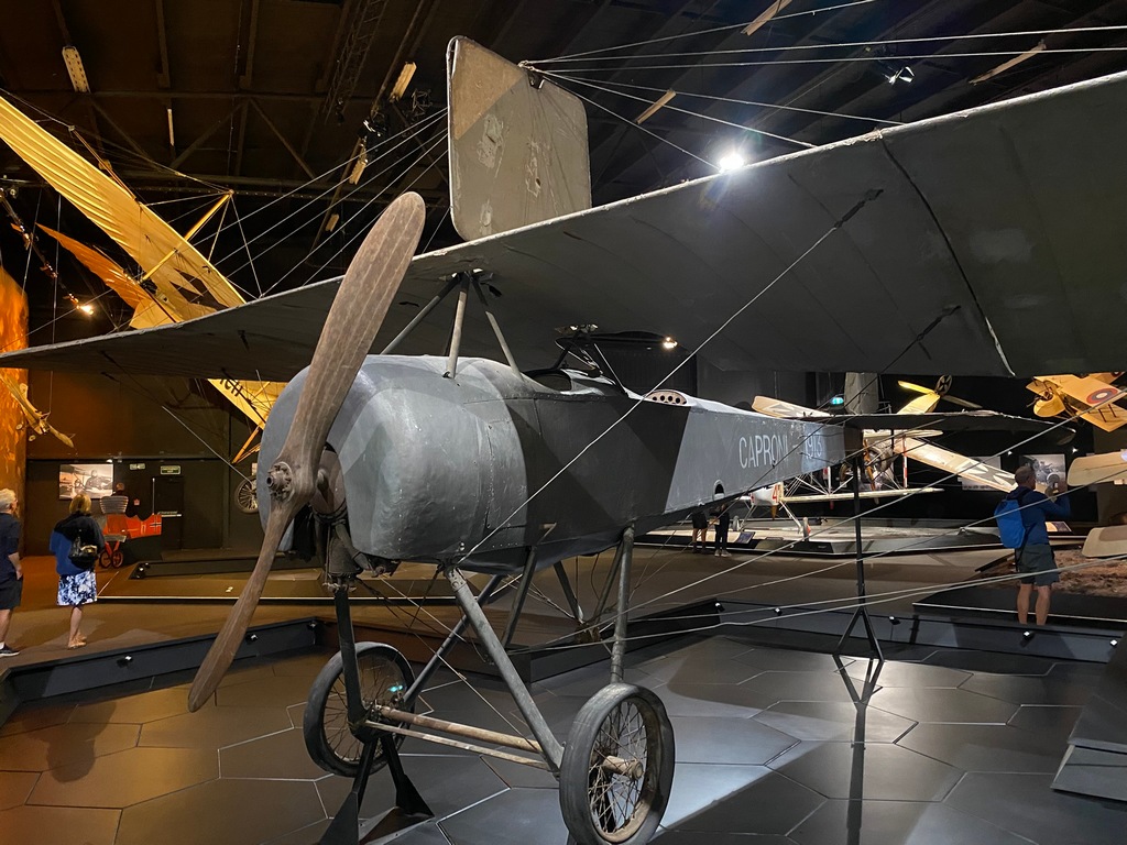
A faithful reproduction of an Etrich Taube
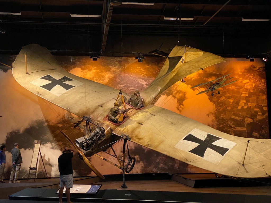
Really? This is aerial combat before aircraft-mounted guns
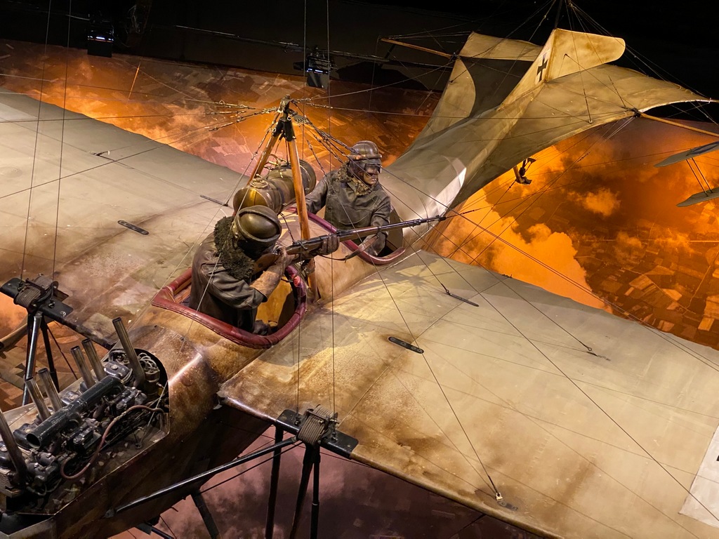
Airco de Havilland DH2 was a pusher propellor design so that a gun could be mounted in front (before the development of "through the propeller" machine guns)
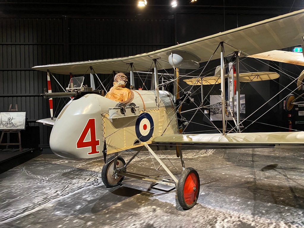
A Morane Saulnier Type BB in a diorama of a crash landing
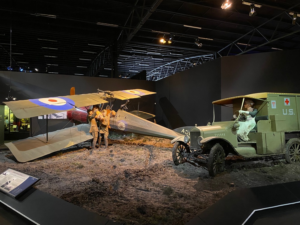
Some dioramas showed the construction and repair of aircraft
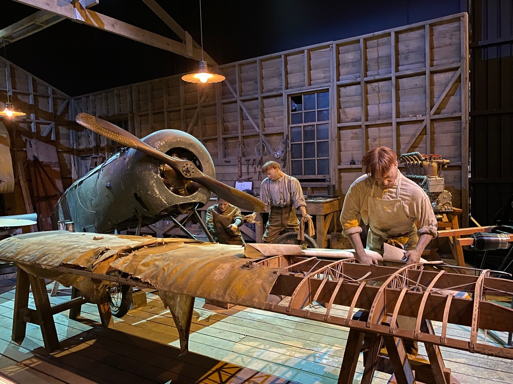
My favourite story! Keith "Grid" Caldwell flies his plane from outside the cockpit.
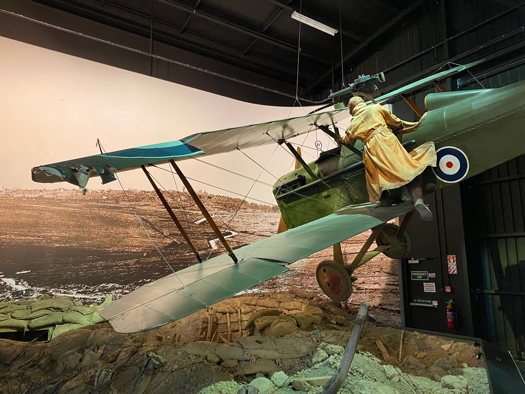
A crashed French plane while German soldiers look on bemused
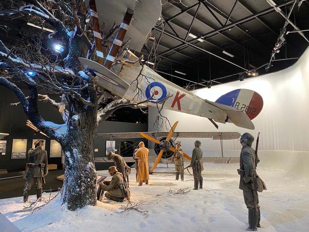
Baron Manfred von Richthofen
Diorama showing Allied troops removing "souvenirs" from the Red Baron's plane
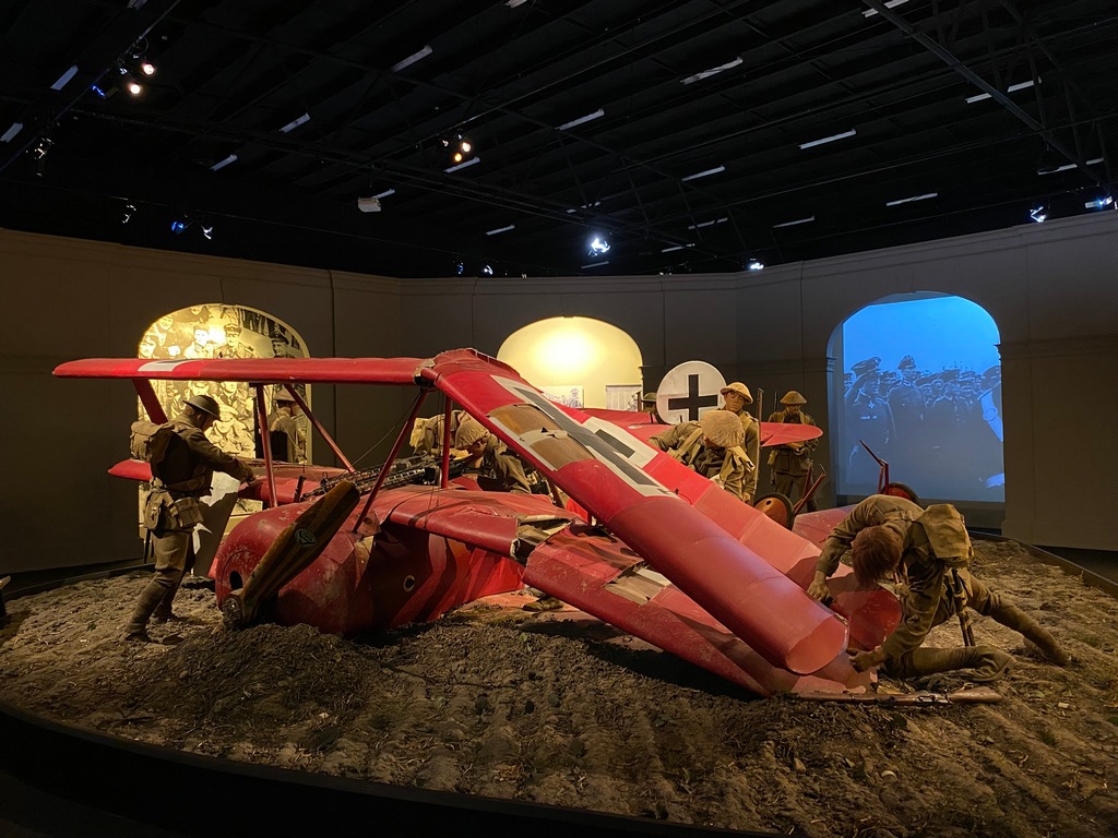
Cutting off the Iron Cross from the wing of the Red Baron's plane
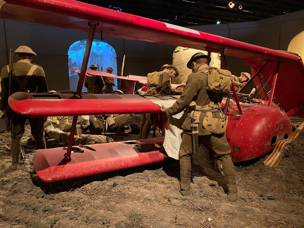
Yes, the original Iron Cross from the Red Baron's plane
Outside the museum is an old Royal Mail aircraft
The War Memorial Clock Tower in Blenheim's Seymour Square
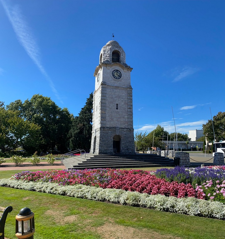
Time to give the bike a bath!
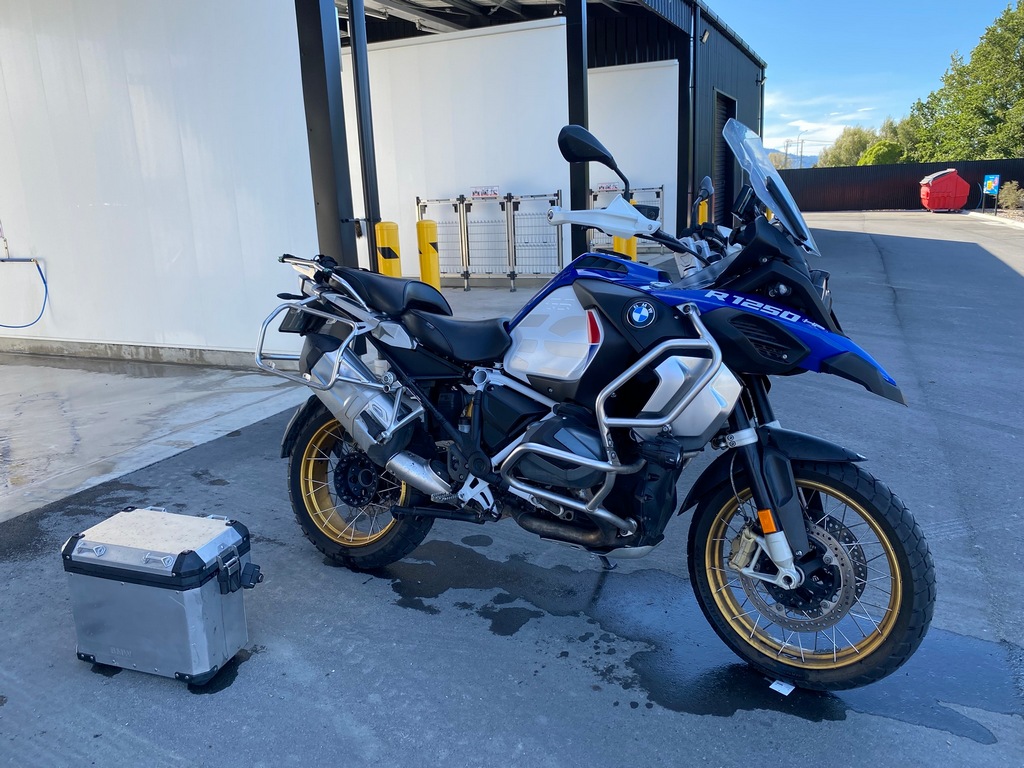
With fall approaching on 21 March, the trees are starting to think of changing colour
March 12 - Blenheim to Wellington
I took the earlier ferry in order to get ahead of the approaching gale. Winds were forecast to reach up to 100 km/h during the afternoon sailing and they could have impacted the sailing schedule (never mind passenger comfort). While it was still quite breezy it was an uneventful crossing. So that is it for the South Island. It has been wonderful exploring the island for the last five weeks and it really feels like the trip is wrapping up. Though I still have three more weeks in New Zealand, more than a lot of people's entire vacation in New Zealand.You need to bring your own tiedown straps for the ferry
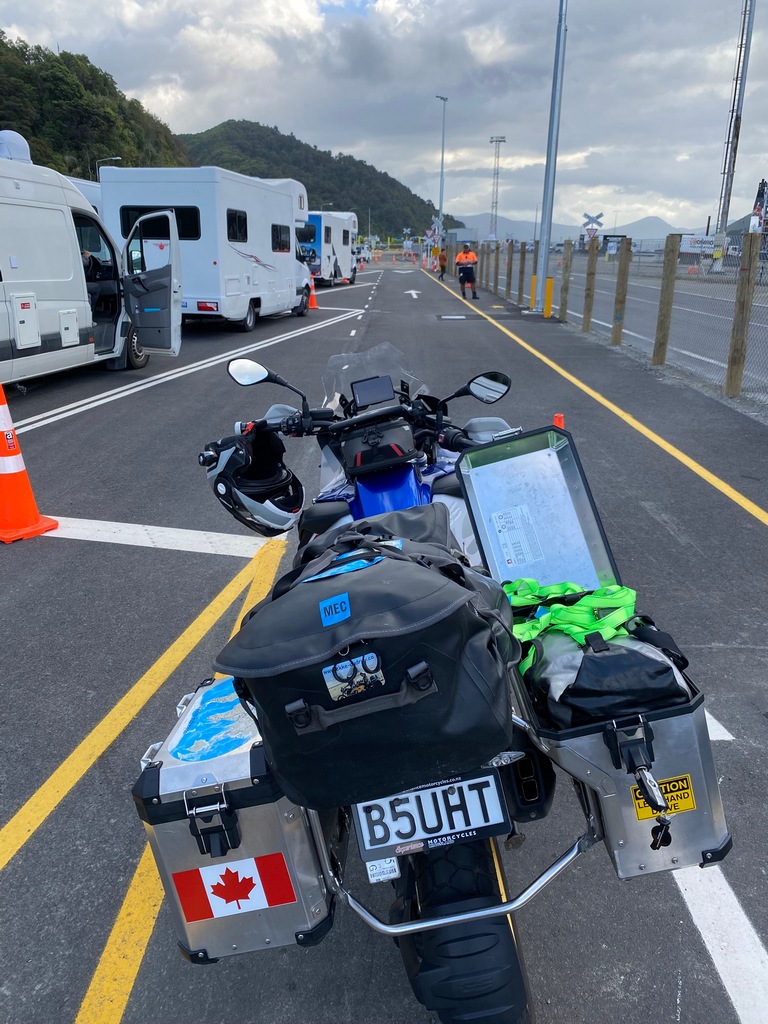
Picton Harbour
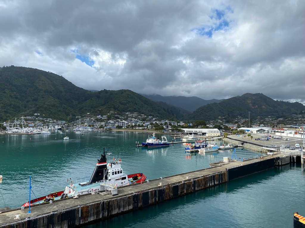
Leaving Picton
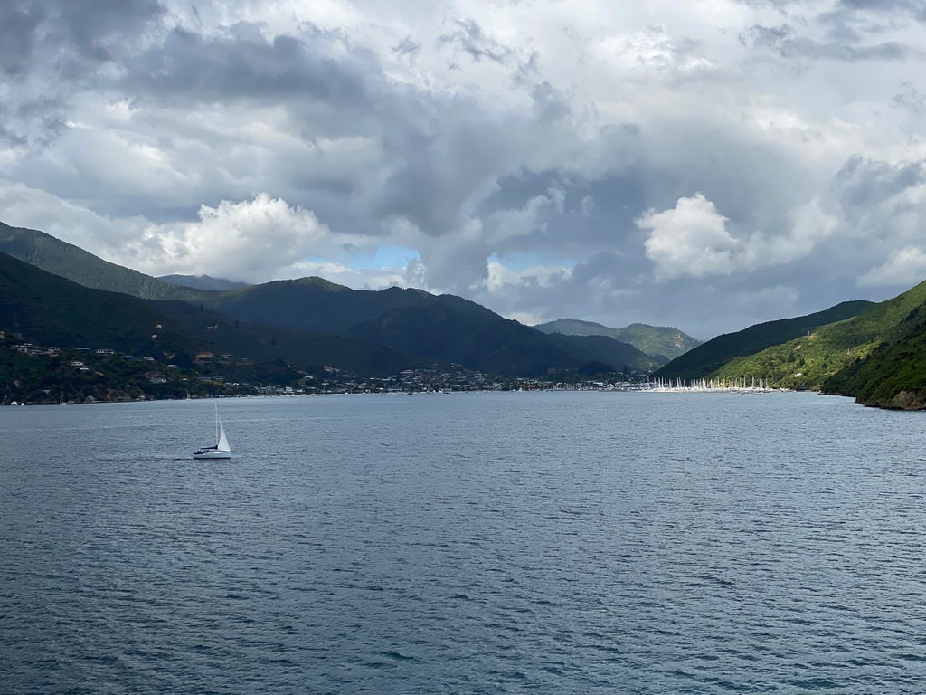
This is the ferry I should have been on
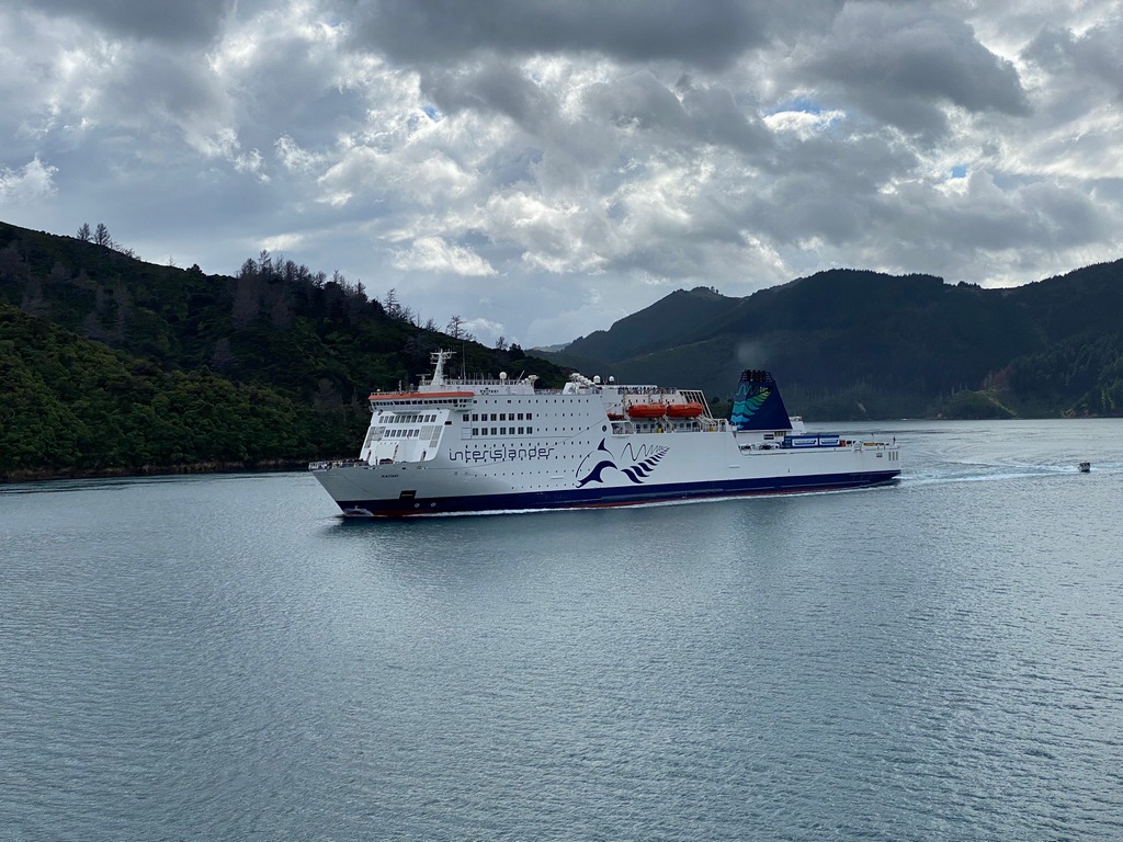
I was looking at the map on my phone when I saw this
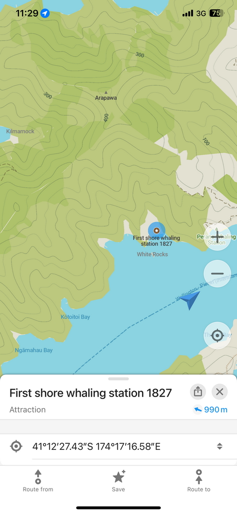
A whaling station from 1827
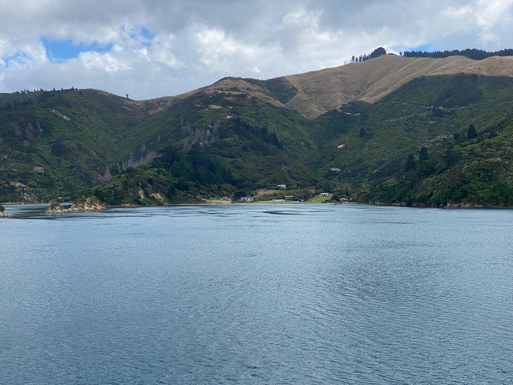
Exiting Marlborough Sound and leaving the South Island
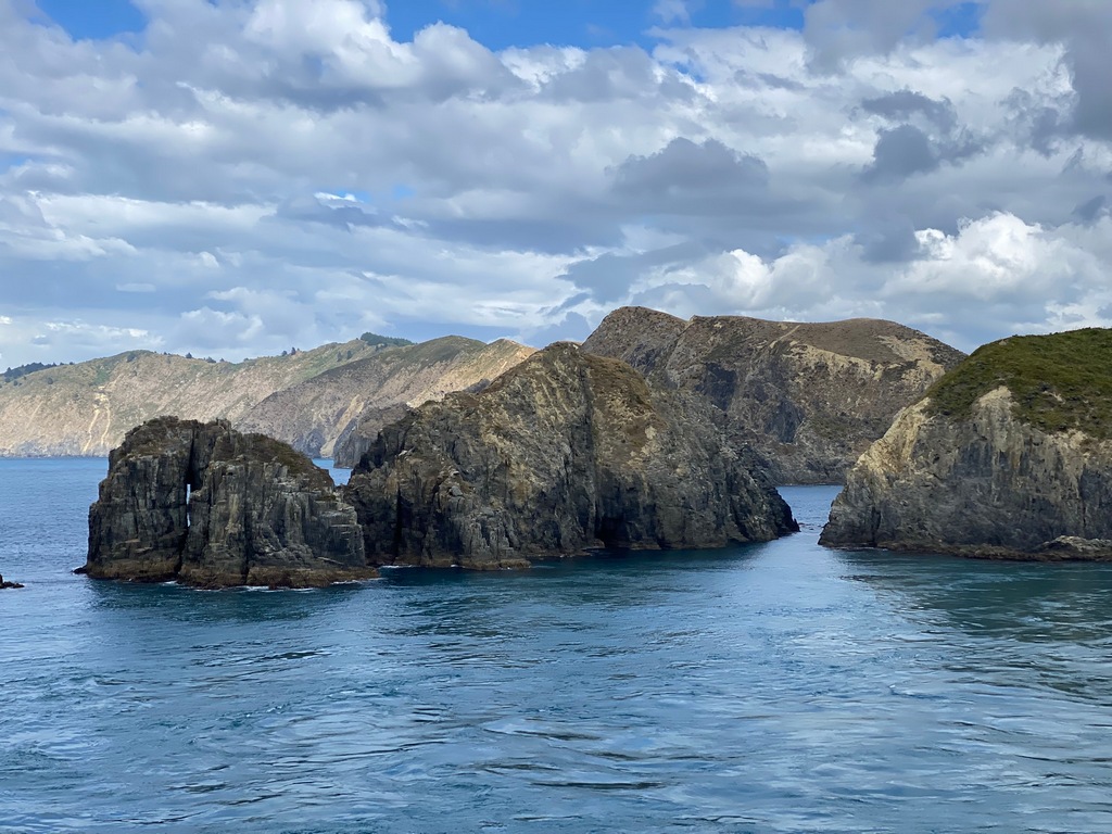
Crossing the Cook Strait and Dolphins!
Arriving in Wellington and park next to the Holland America Westerdam. This is the ship mom and I sailed around Indonesia on.
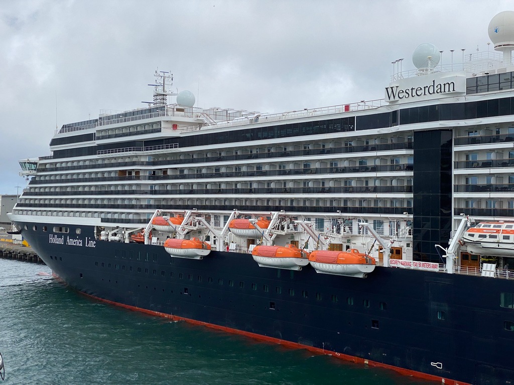
My apartment in Wellington is across from St. Mary of the Angels
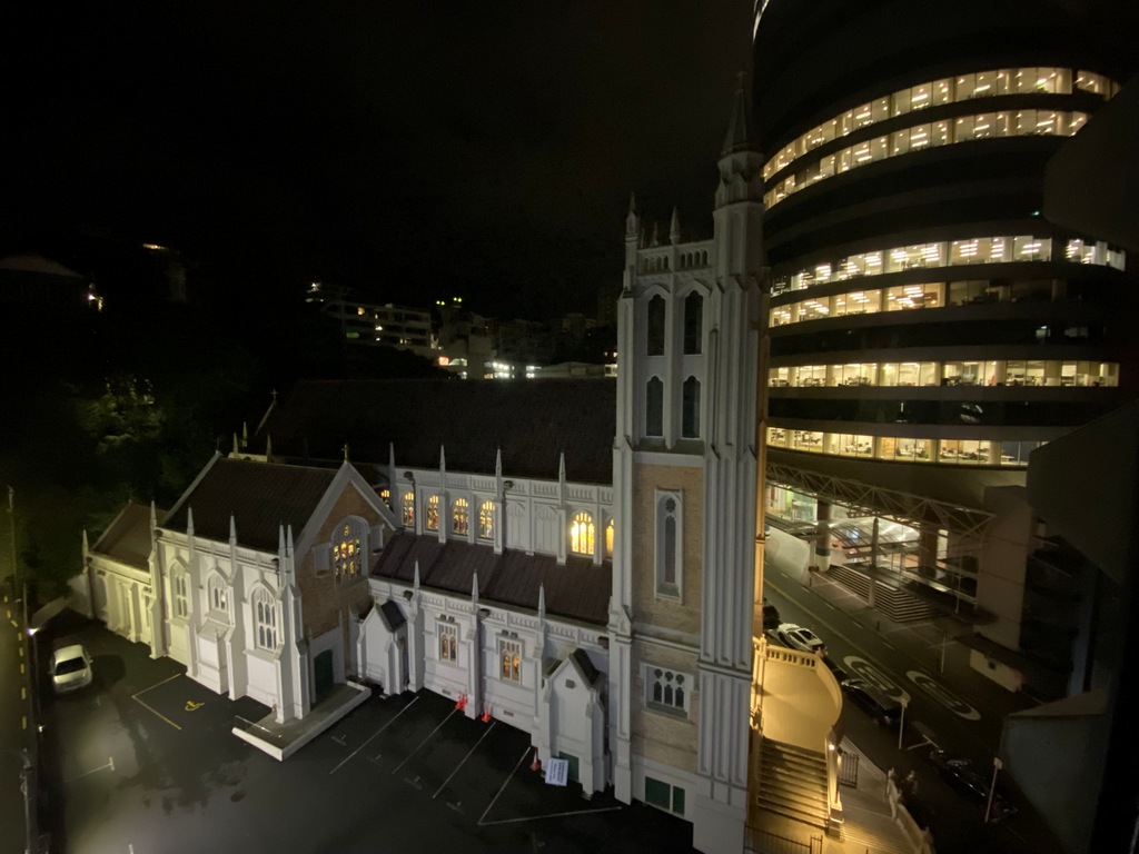
Tracks of Chapter 6: Finishing the South Island
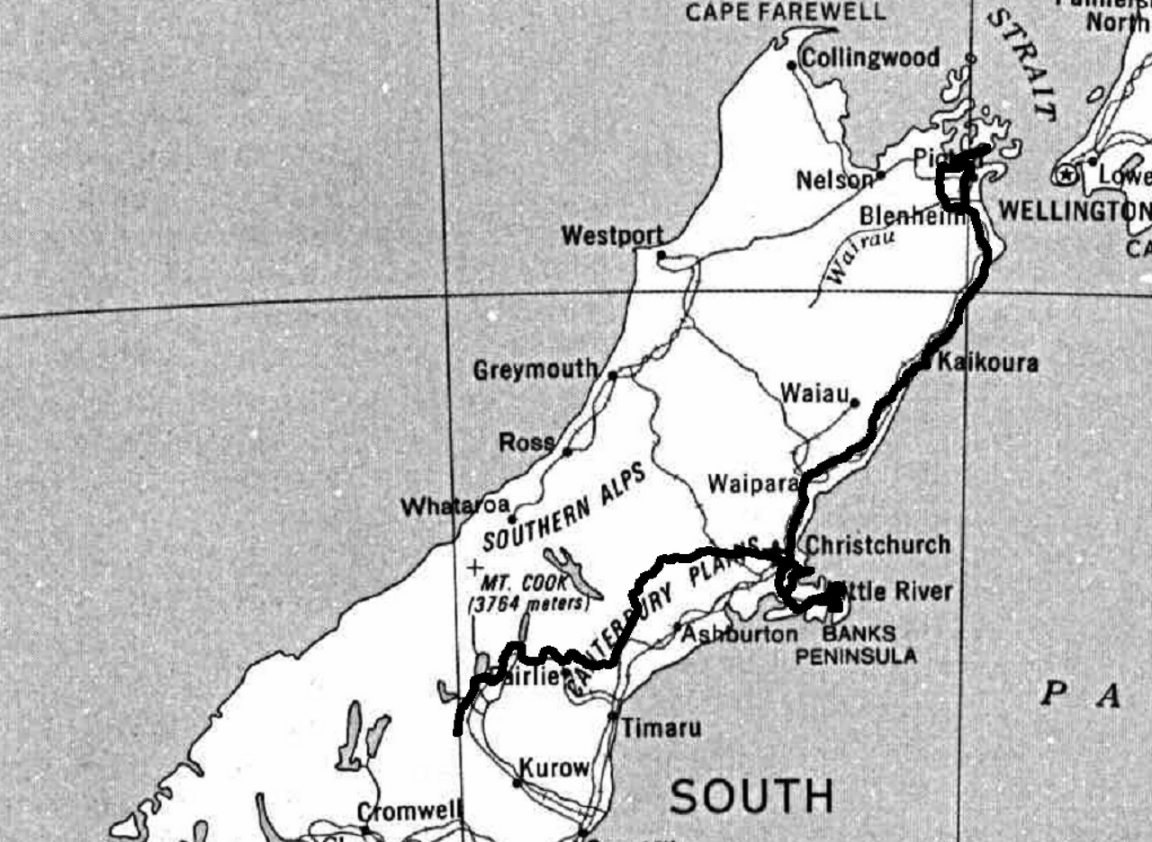
All of the South Island tracks
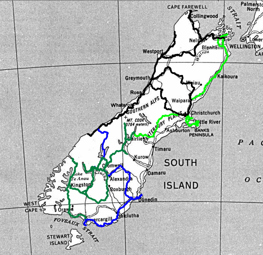
Chapter 7: East Coast of the North Island
13 and 14 March – Wellington to Palmerston North
Thursday was a day of finishing off and publishing Chapter 6 of the website and then doing a bit of trip planning. A café at Te Papa provided the venue and the paper napkin for the trip planning. Friday morning, I met with Gareth for a coffee after checking out of the Boulcott Suites. You’ll recall I had met Gareth and Helen when I was last in Wellington, but southbound, and it was great catching up again. On the road I went up the west side (I came down the east side) to Paraparaumu and the Southward Car Museum. How is it that New Zealand, with the same population as Alberta, has so many classic car and airplane museums? The eclectic collection was the pride and joy of Len and Vera Southward born after watching a veteran car run in Birmingham, England in 1956. He bought a 1915 Ford Model T when he got home and it is still, unrestored, part of the collection. The cars and motorcycles all had a patina of age, unlike the Classic Motorcycle Mecca in Invercargill where the bikes seemed better than new. After wandering around the museum, I rode to Palmerston North crossing the southbound route. Again, I went to the Beaver and Bear Canadian restaurant for supper, just like on the way down. Though now Trump’s tariffs and attacks on Canada’s sovereignty made going to a Canadian-themed restaurant seem more like an act of patriotism than going for dinner.Te Papa, the National Museum has a nice café
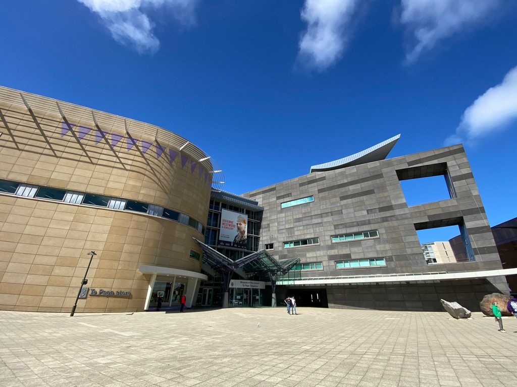
Room to spread out the map and they had a paper napkin
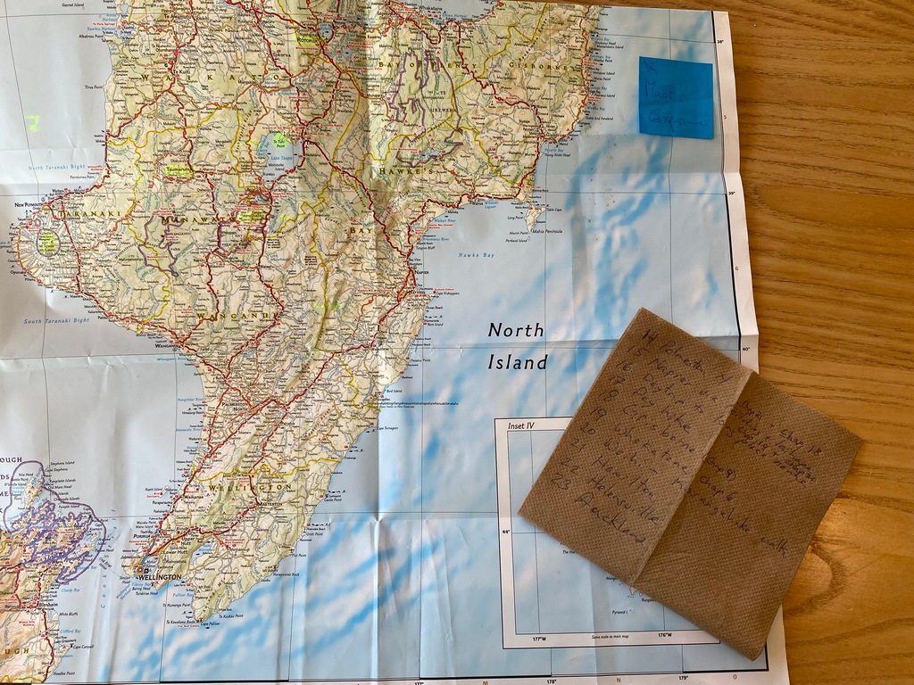
Meet Gareth for a coffee before departing Wellington northbound
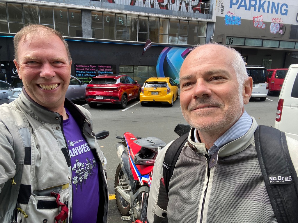
Northbound on the motorway
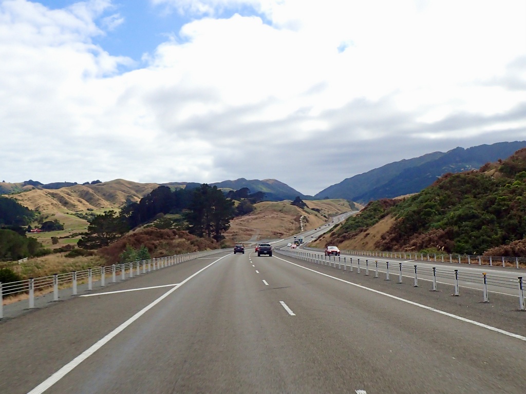
The Southward Car Museum
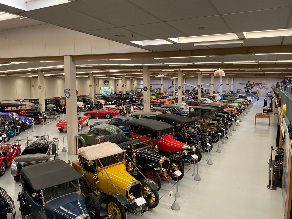
The car that started it all
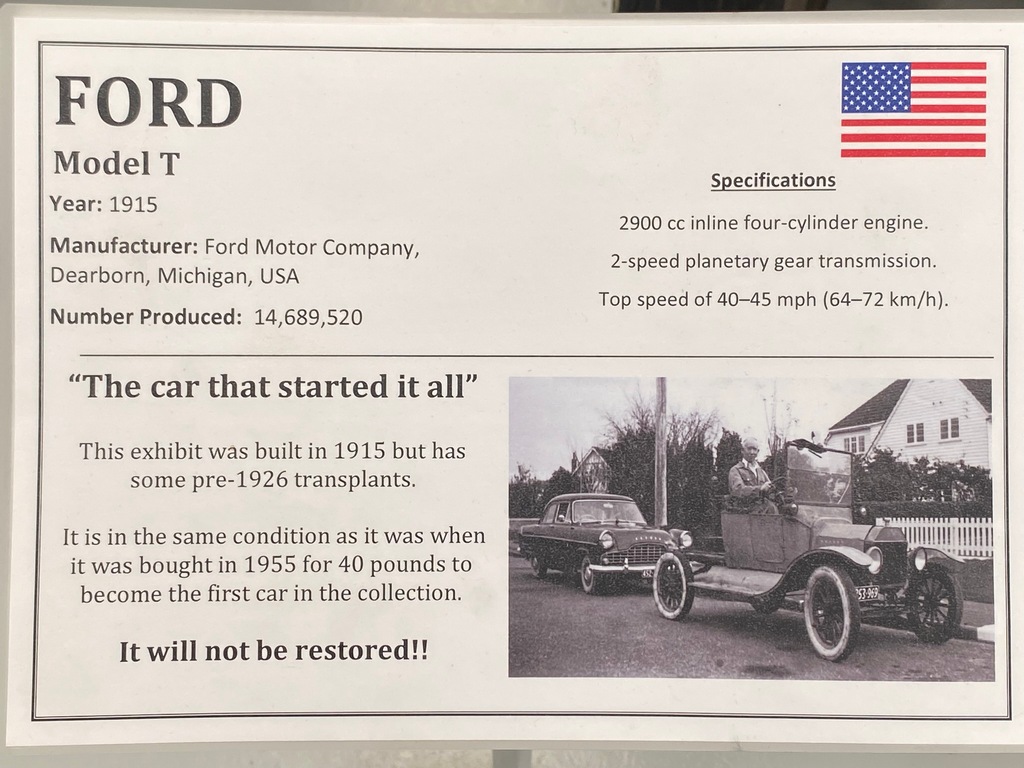
It will not be restored
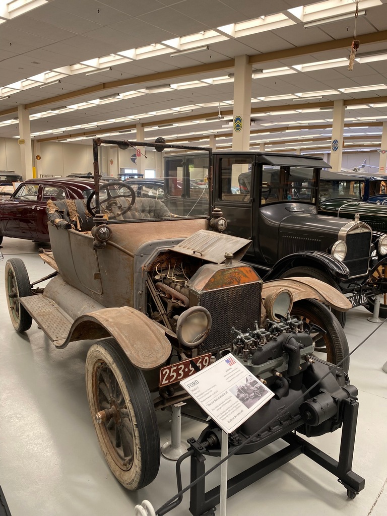
My favourite car, a 1950 Maserati 8CLT/50
And a close second, a Ferrari 750 Monza
Mickey's Cadillac
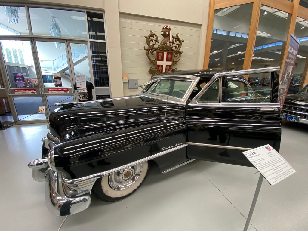
With original bullet holes (since it is armoured glass they are probably not actual holes)
The motorcycles are on the mezzanine
A 1953 Vincent Black Shadow
This Indian 841 was a WW II prototype. The army went for the Willys Jeep instead.
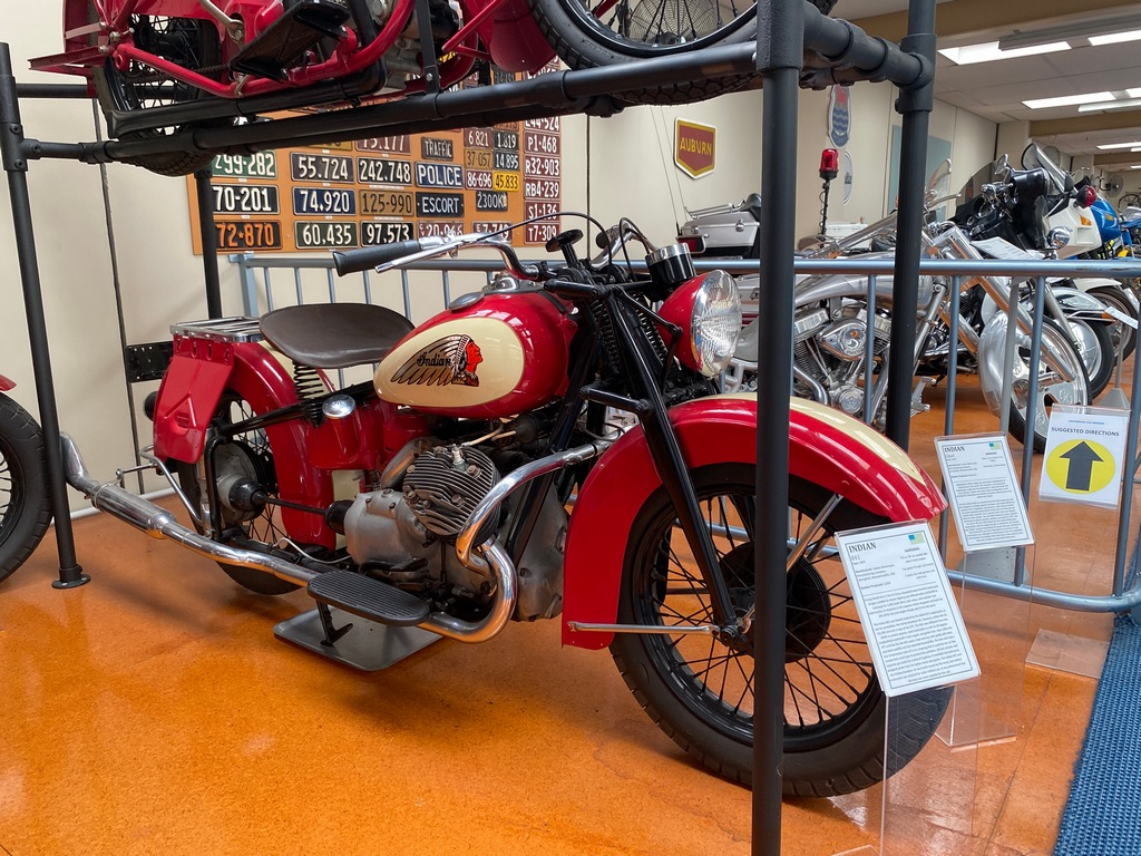
Love the Honda CBX!
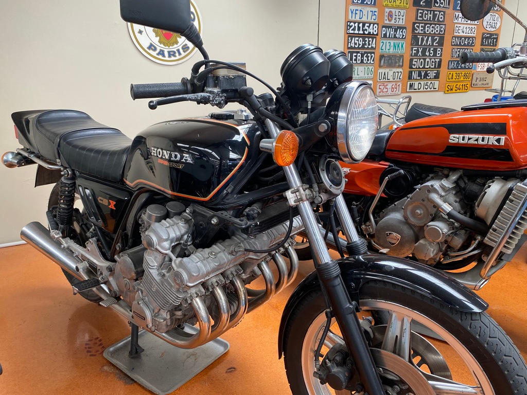
Back in Palmerston North and the Beaver & Bear. Supporting Canada even in New Zealand.
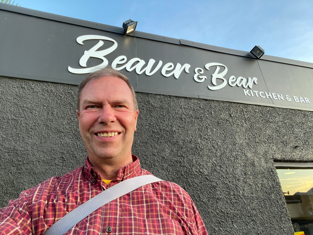
Statue of Te Peeti Te Awe Awe, Chief of the Rangitane Tribe
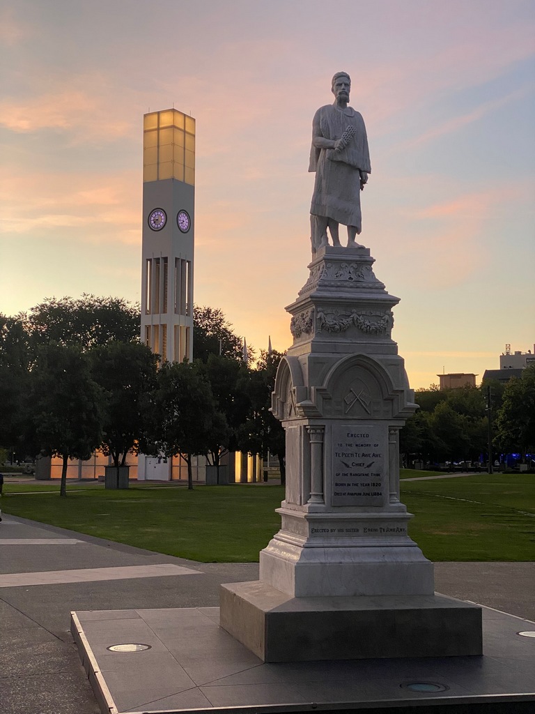
March 15 and 16 – Palmerston North to Napier
On Saturday and Sunday, I rode four of Mike Hyde’s Twisting Throttle suggested routes. Leaving Palmerston North I north along the Pohangina Valley I was struck again by how the traffic is concentrated on the main throughfares and near towns, dropping off to almost nothing on the back roads. I think I saw five other vehicles in an hour of following the Pohangina River. I joined up with the busy (of course) Highway 1 for a short distance to Taihape where I stopped for lunch. The Taihape to Napier route was another highlighted route from Twisting Throttle but I must have missed a turn somewhere as I ended up taking an eight-kilometre-long gravel shortcut. The Taihape – Napier road itself was lovely with fun curves and of course almost no traffic until getting to Napier. On Sunday morning I stopped by a sports bar on the way out of town for a day ride. I asked if they would be showing the season opener of the Formula 1 race. The owner said that normally “the game” is on the big screen but they could certainly put it on one of the smaller TVs. With that assurance I headed off to find the “Longest Place Name in the World.” This formed part of a Twisting Throttle route I had already done on the way south and I really enjoyed the beautiful ride through the rolling countryside. The name Taumatawhakatangihangakoauauotamateaturipukakapikimaungahoronukupokaiwhenuakitanatahu translates roughly as "the summit where Tamatea, the man with the big knees, the slider, climber of mountains, the land-swallower who travelled about, played his kōauau (flute) to his loved one" according to Wikipedia. Back in Napier I walked into the bar and the F1 pre-race show was on every screen, including the big screen. I gave the owner a big thumbs up and ordered a plate of nachos and a ginger beer to watch the race.Riding along the Pohangina Valley
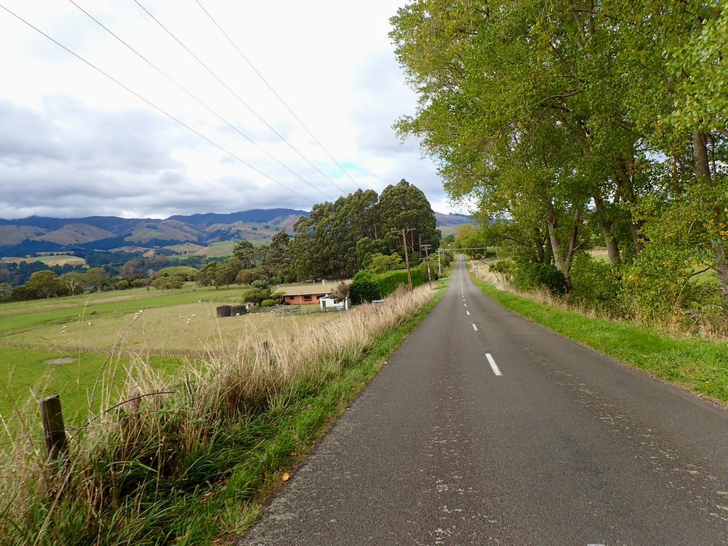
Lots of one-lane bridges
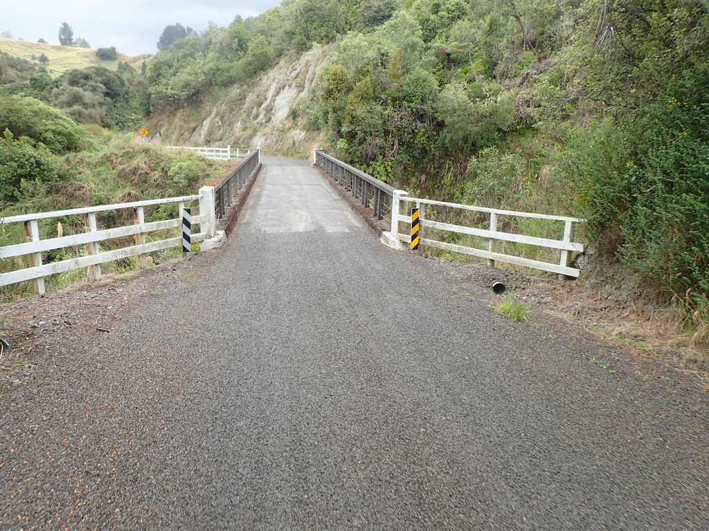
That's a doozy of a tree to come down
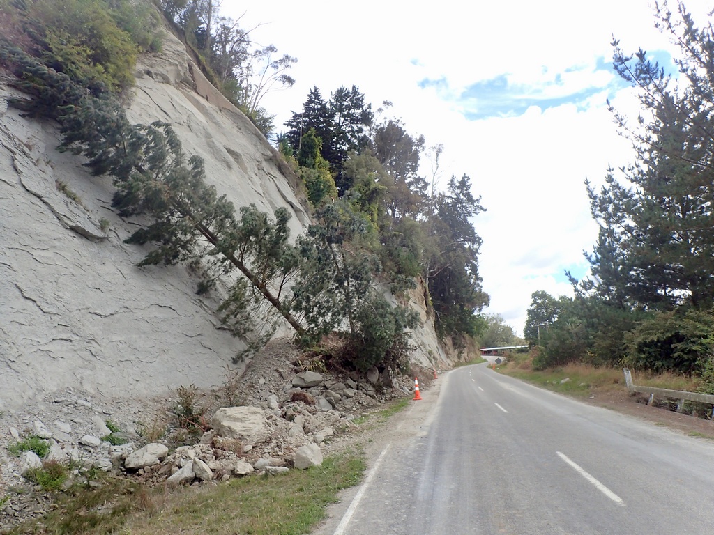
A nice gravel shortcut
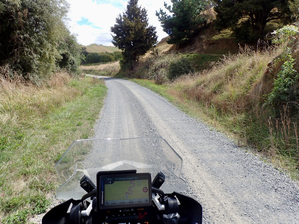
The Taihape to Napier road is a great ride
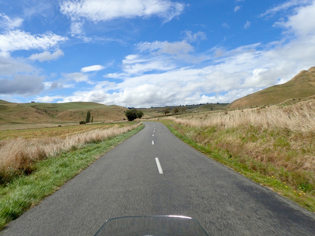
Now it's down to the ocean at Napier
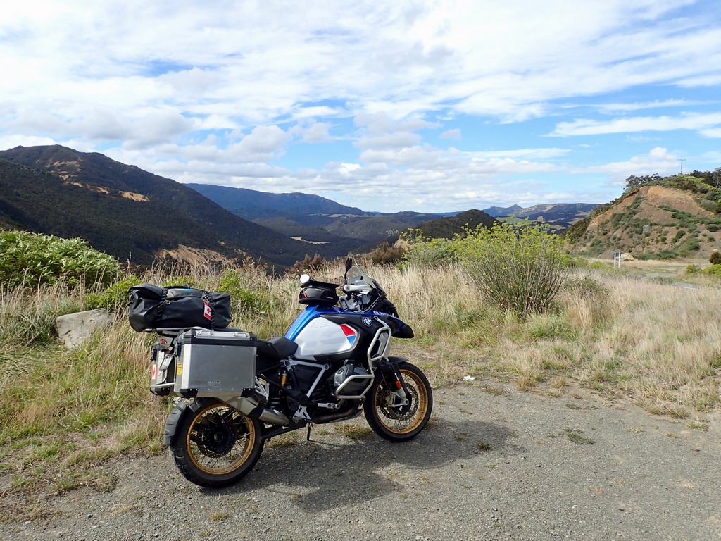
Hawke's Bay at Napier
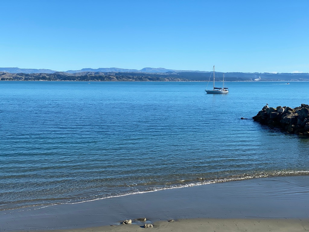
Finally a chair big enough for me!
A day ride out of Napier
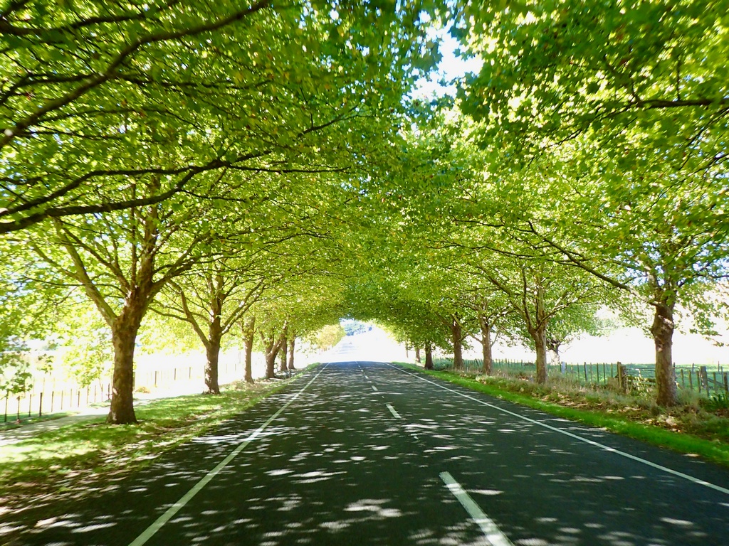
South, just inland of the coast
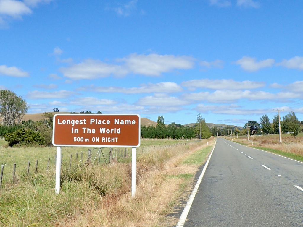
Yippee!
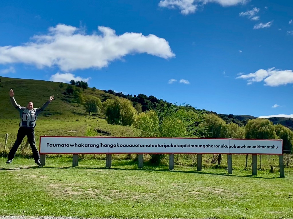
Riding back to Napier
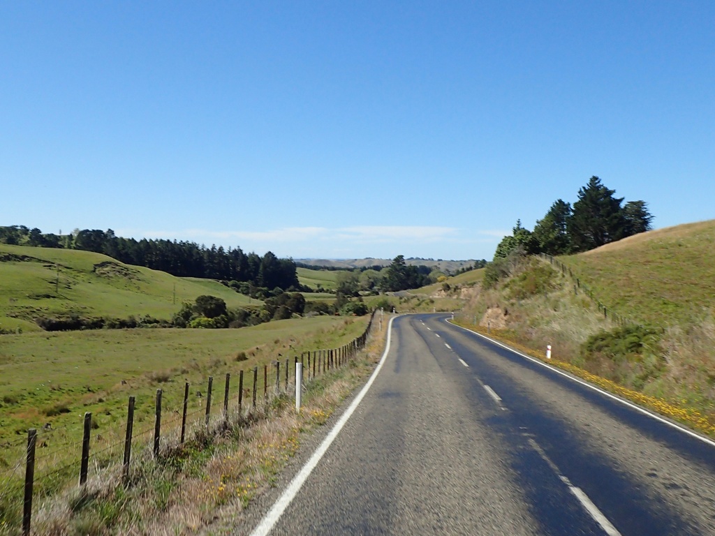
The F1 race on the big screen at The Station
March 17 – Napier (day hike)
Monday was a hot day, with temperatures approaching 30°. A perfect day for a hike up a mountain then. I filled up my hydration bladder and rode about 30 km to the main gate for Te Mata Park. The first challenge was finding the trail I wanted to take. There were about half a dozen trails, and they were colour coded. Being red-green colour deficient made following the colour coded markers a challenge. There were quite a few people out for a walk so it was easy getting help a couple of times at confusing junctures. Close to the top was a section on an exposed ridge with steep drops to either side and then a narrow, steep climb on the other side of the ridge. In addition to being colour blind, amongst my other charms I am also afraid of heights. I did make it across but had to rest a bit on the other side in order for my heart rate and breathing to slow down. The view from the top was fabulous though, with Hawke's Bay spread out below on one side and Napier's wine country on the other. The descent down the other side was much easier. When I got to the motorbike, I thought I would ride to the top (yes, there is a road) which took all of five minutes.The park surrounding the 400 metre high hill
Oh oh, colour coded walking trails could be a challenge for the colour blind
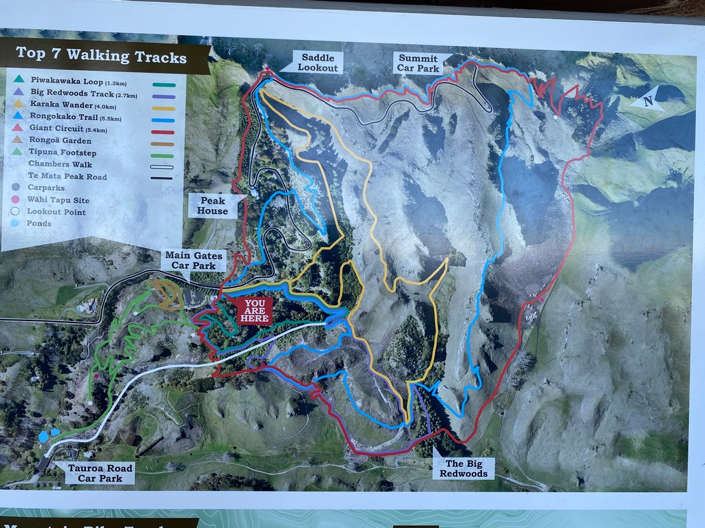
Beautiful trails
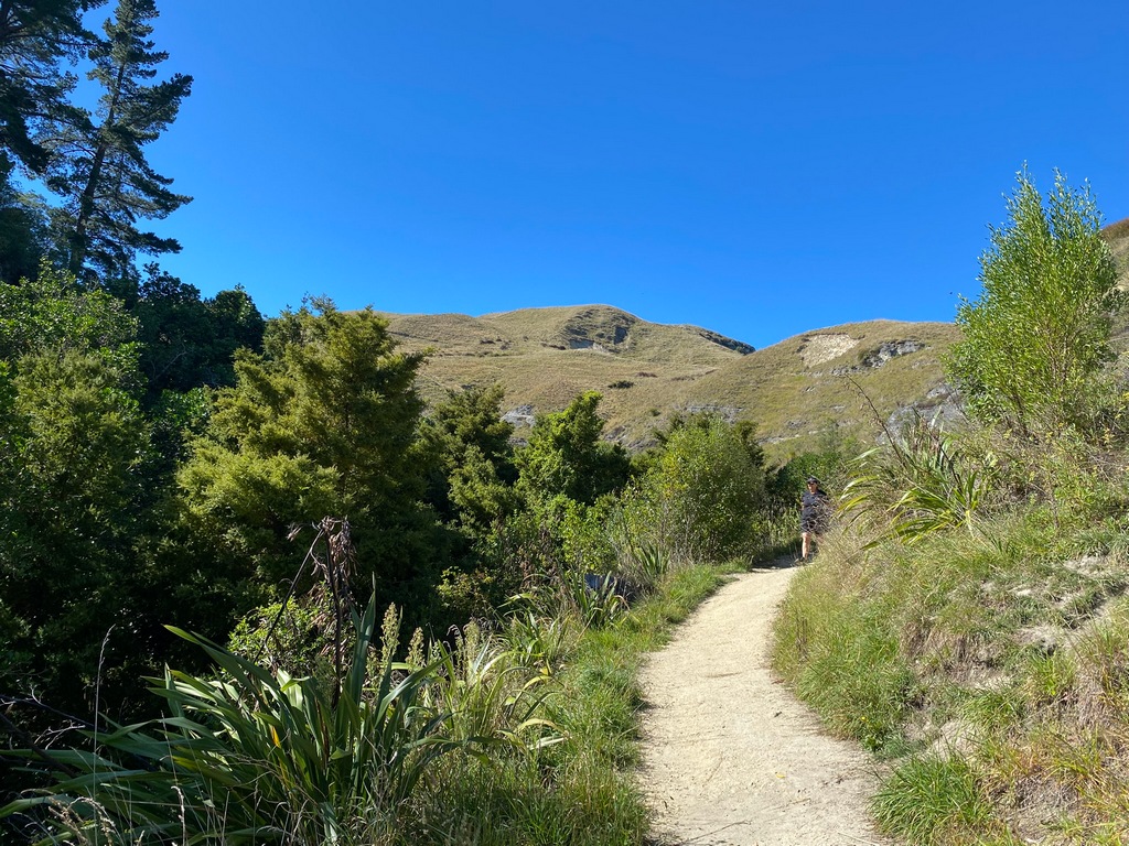
California Redwoods planted in the 1920s seem to be doing well
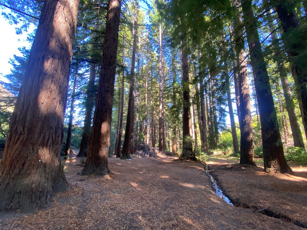
Just follow the colour coded tracks
Sea shells on the trail 300 metres above sea level
There always has to be the one tree that thinks it's autumn
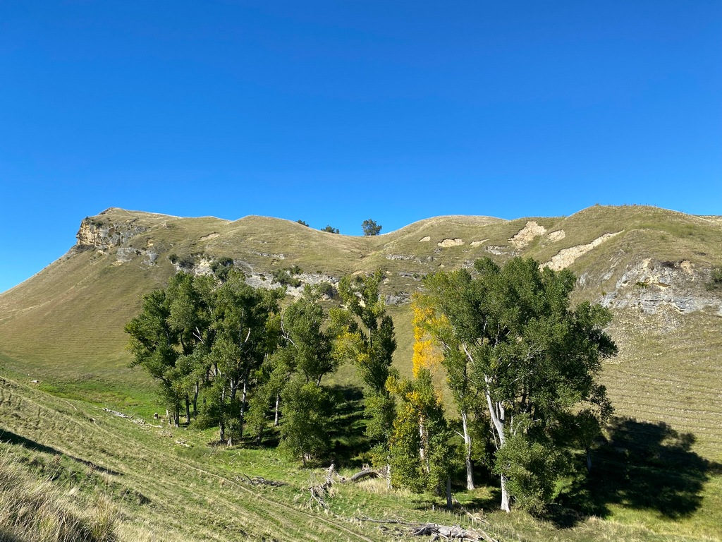
Keep climbing
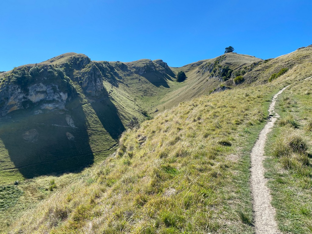
Cleared this ridge with sharp drops to either side but the steep climb following it was challenging
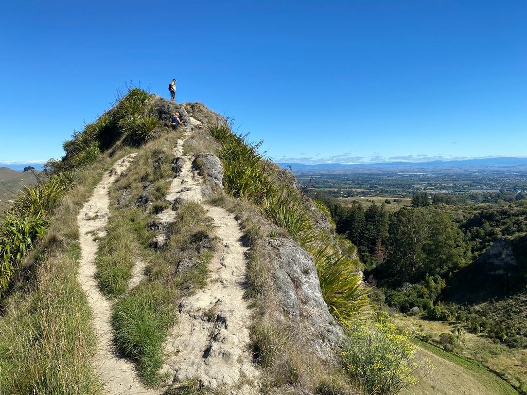
Hawke's Bay from Te Mata Peak
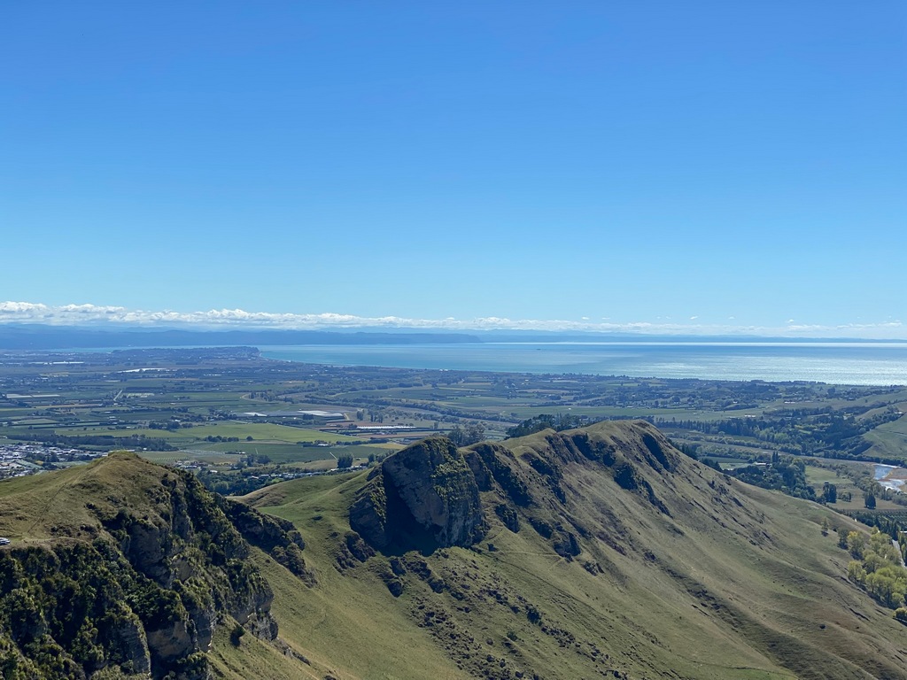
The vineyards and orchards near Napier
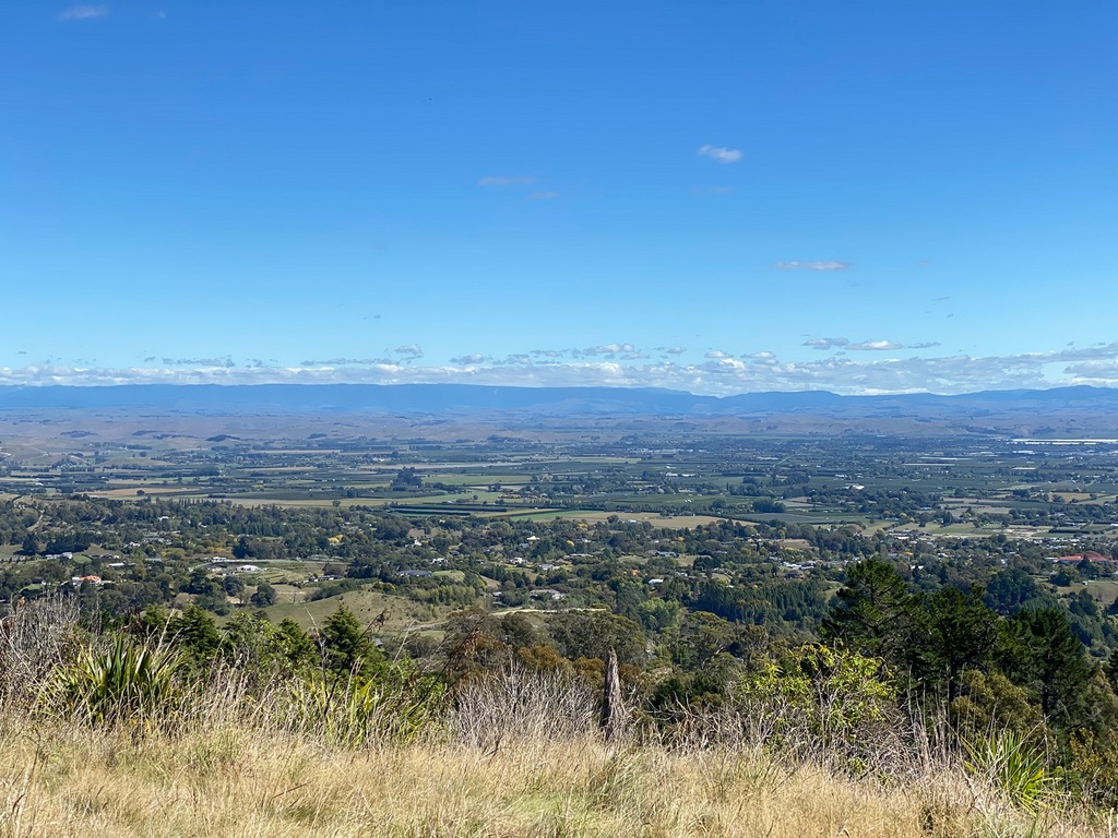
While more fun on the motorcycle, not as much exercise
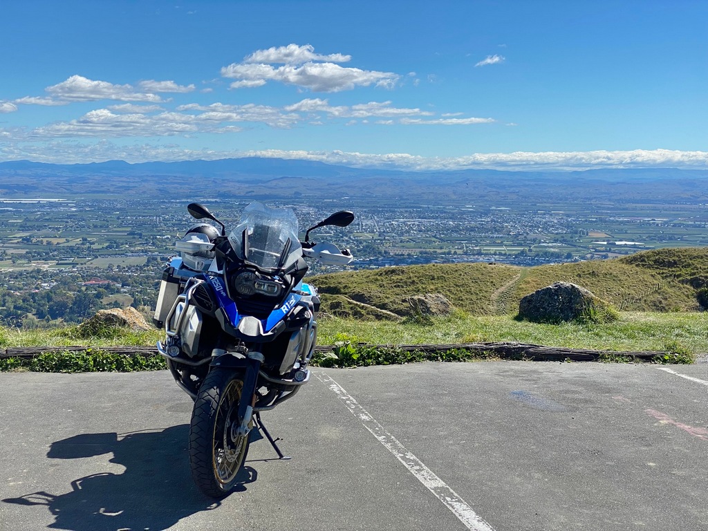
March 18 and 19 – Napier to Gisborne to Whakatāne
Tuesday, I rode from Napier to Gisborne, first along Highway 2 and then the Tiniroto road. Again, once on the back roads there is almost no traffic at all. The road was quite rough and there were lots of washouts, apparently the result of 2023’s Cyclone Gabrielle, but very entertaining. At the Ocean Beach motor lodge, the front desk clerk had a quick look at the webcam and suggested going out to the beach. I thought the water was a bit cool for the suggested dip, but it was nice having my toes in the water. Wednesday it was around East Cape, the easternmost point on mainland New Zealand. This is the spot where the first rays of the sun greeted the new millennium. Then in 2011 Samoa changed the international dateline so that now instead of being the westernmost country in the world they are the furthest east. You can do that? Anyway, it was a nice place for a picnic. While the south side of East Cape was plagued with lots of construction (again Cyclone Gabrielle?) the ride to Whakatāne on the north side was very pleasant. And that finishes Twisting Throttle, or at least all the routes I am planning to do. It has been a great resource, and I really have to thank Michelle for giving it to me.North on Highway 2 (after most of the truck traffic peeled off at Highway 5)
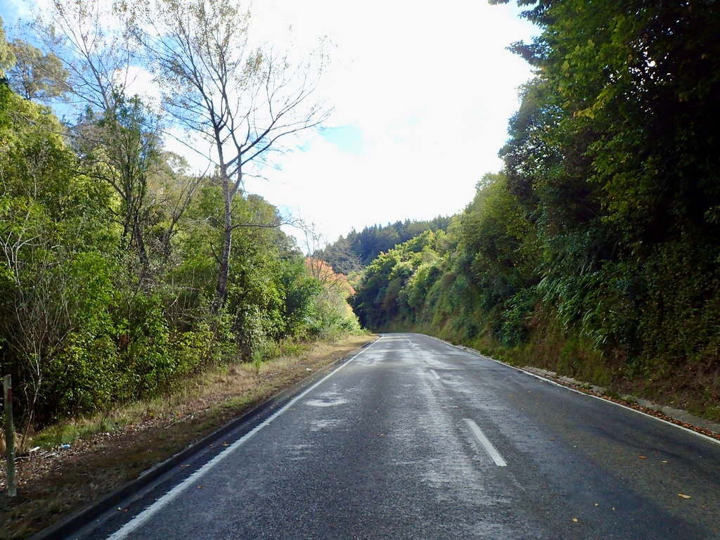
One-lane construction zone and limited passing means being in a queue
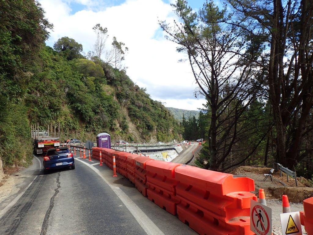
But as soon as I turned onto the Tiniroto Road I didn't see many vehicles
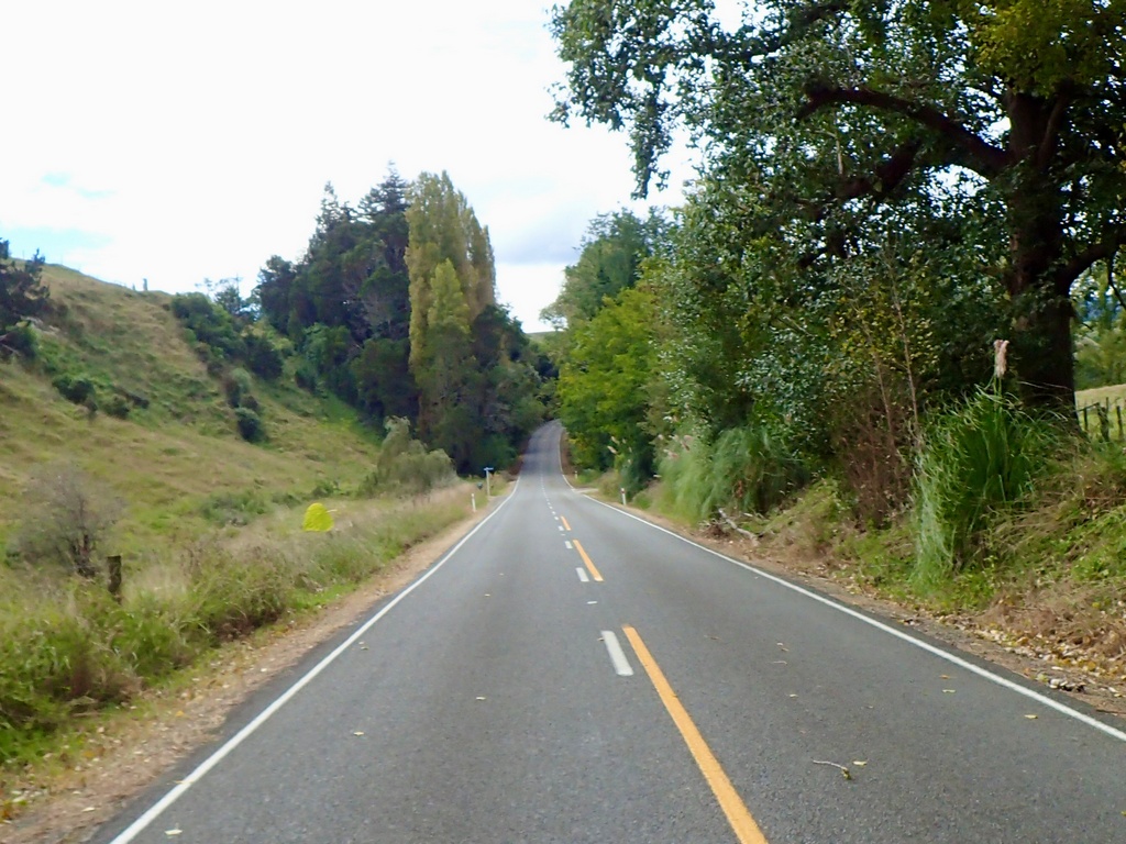
Quite a bit of damage from Cyclone Gabrielle
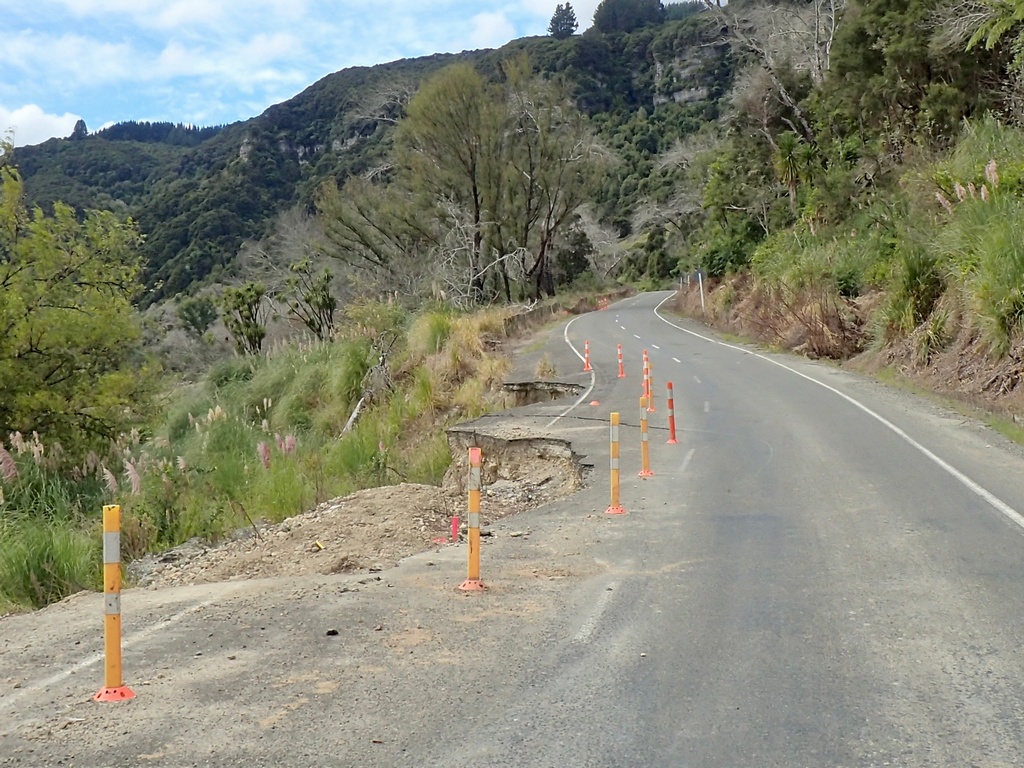
Tiniroto Road
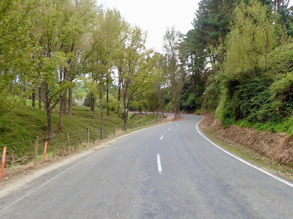
Baa
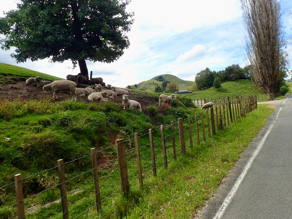
The waves lapping at my feet at Gisborne
Leaving Gisborne in the morning on the south side of East Cape
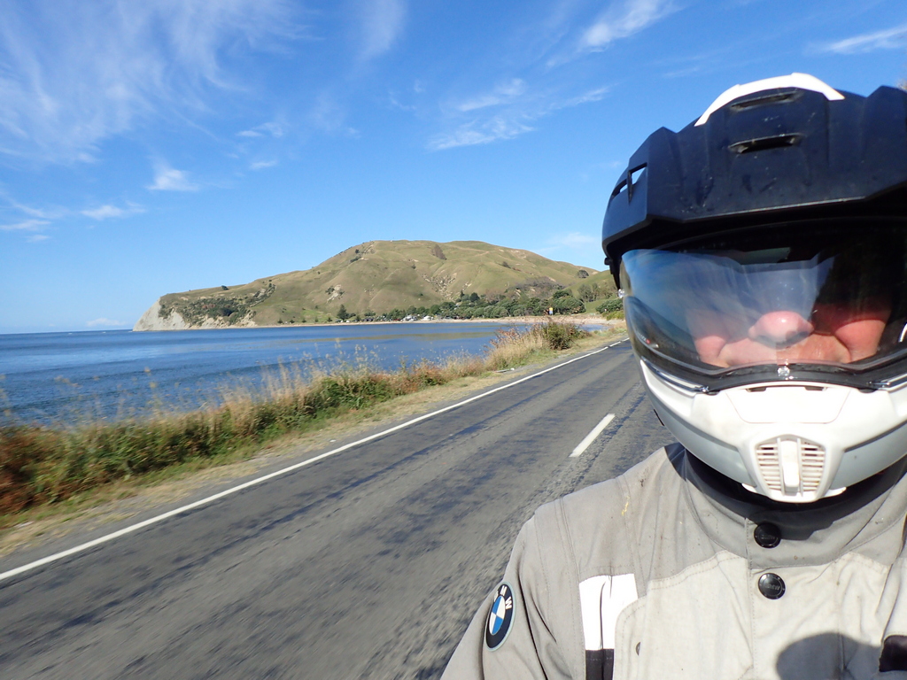
The longest concrete pier in New Zealand is at Tolaga Bay (660 metres)
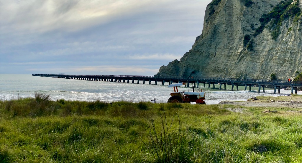
Approaching the tip of East Cape
That hill would have seen the first rays of the sun at the start of the new millennium
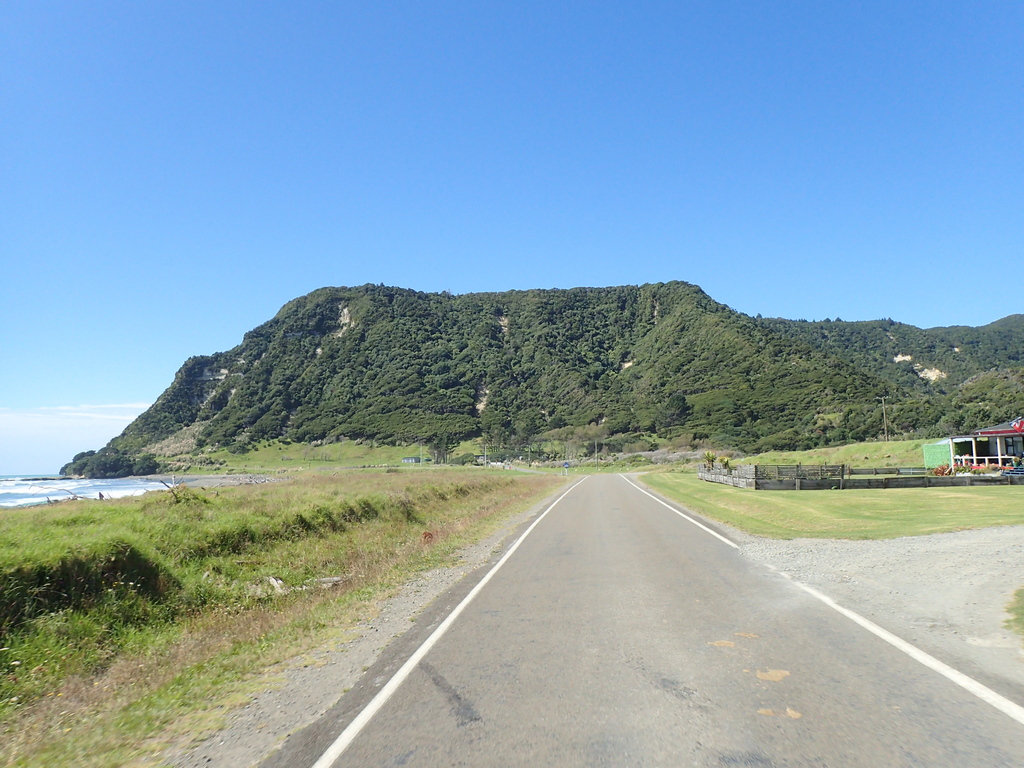
A perfect spot for a picnic
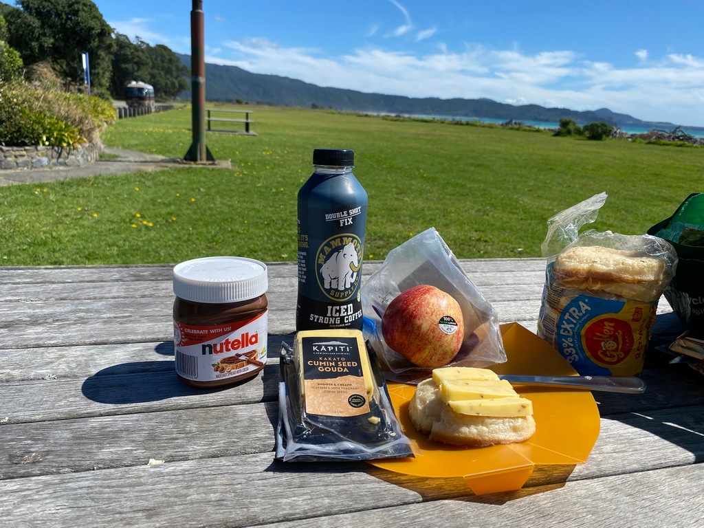
The north shore of East Cape doesnt have as much construction as the south shore so it's more fun riding
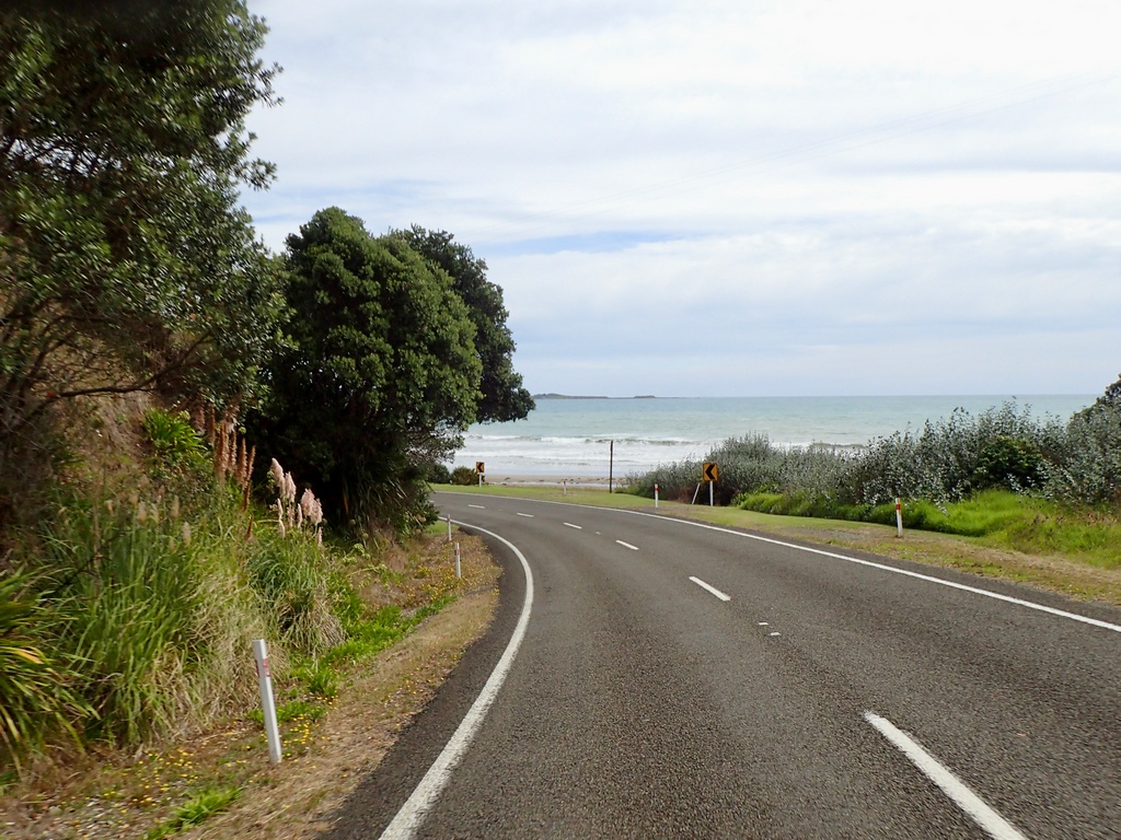
The Com Plex has the historical hotel and around back...
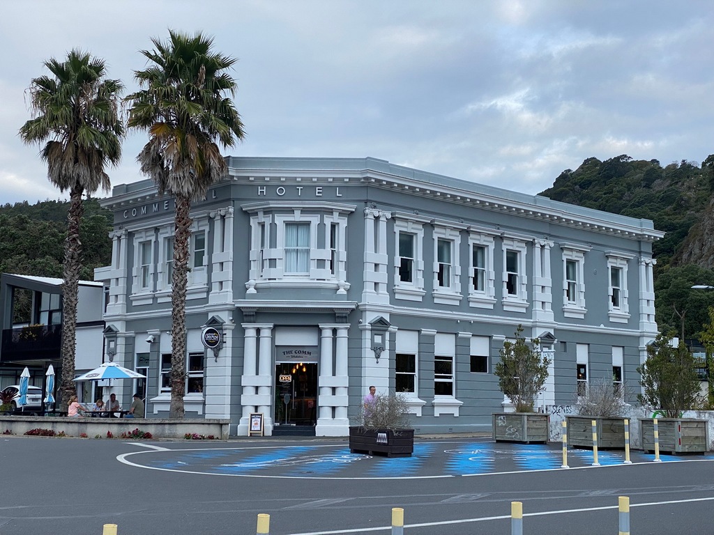
What look like shipping containers for rooms
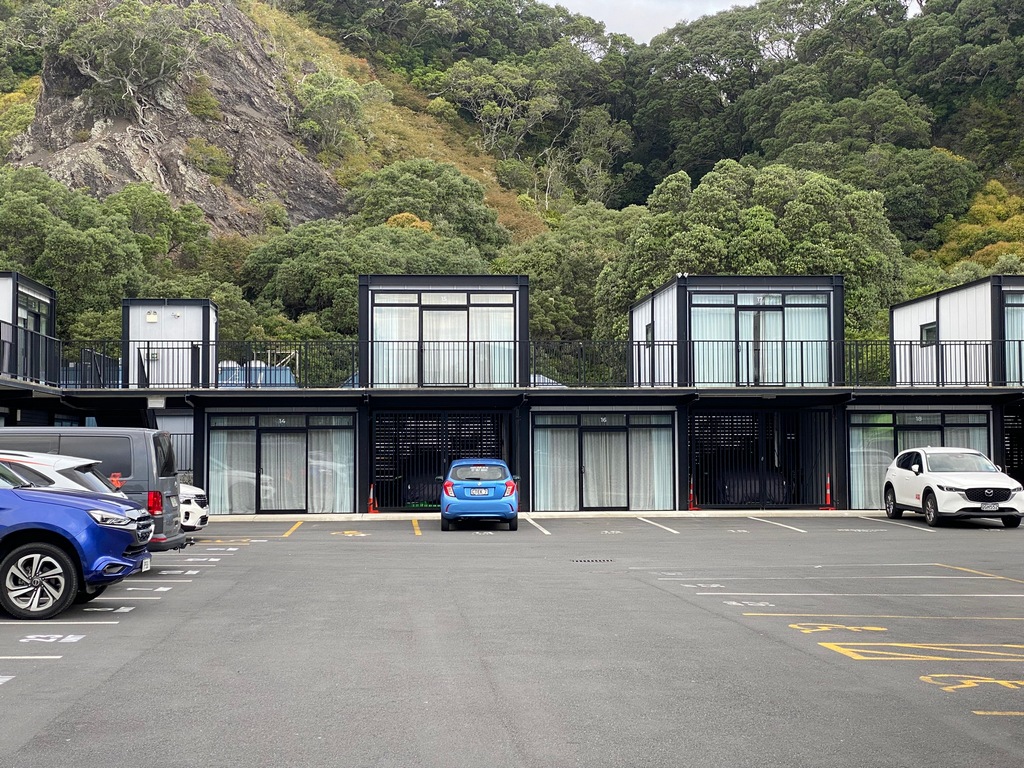
My new favourite dessert, Kiwi Pavlova (at the Cobb & Co, in Whakatāne)
Mike Hyde's book Twisting Throttle has been a fantastic resource
March 20 – Whakatāne to Paeroa
After my usual breakfast of muesli, I went for a quick stroll around Whakatāne and I am glad I did. I came across a beautiful waka at the bay. The ceremonial war canoe was sheltered and ready for the next ceremony. To get to my destination of Paeroa I could just take Highway 2 the whole way but that would mean lots of truck traffic and going through what looked like the busy town of Tauranga. Instead, I took smaller roads to Rotarua and I remembered that I didn’t get to the Café de Paris when I was here almost 2 months ago. The crepe for lunch was fantastic! The Old Te Aroha Road paralleled the mountains separating Waikato from the Bay of Plenty and I came across the Wairere Falls tumbling down over a cliff. I was planning a walk in Paeroa so didn’t do the 45-minute hike, just using the telephoto lens to get a better view. After checking in at Pedlars Motel I rode a few kilometres to Karangahake Gorge and walked through an old gold mining area, exploring tunnels. There was even a 1-kilometre-long train tunnel that has been converted from rails to trails that was a fun walk. Paeroa is the home of L&P soda (New Zealand's pop) so I was taking a photo of the large pop bottle when Peter came by and asked if I wanted my photo taken. We chatted for a while as he is a Vespa enthusiast having ridden a Vespa for 2 years around Europe and attended the Brass Monkey Rally in the middle of winter on the South Island. He asked what I was doing for dinner and then invited me to join him and his sister at an Indian restaurant. What a fun evening!Guardians of the waka shelter
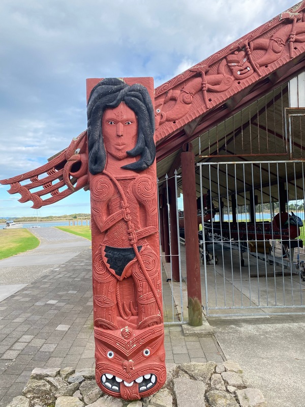
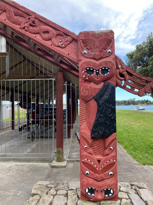
What a beautiful waka!
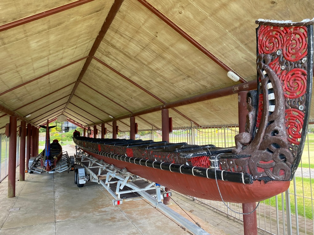
Riding towards Rotorua
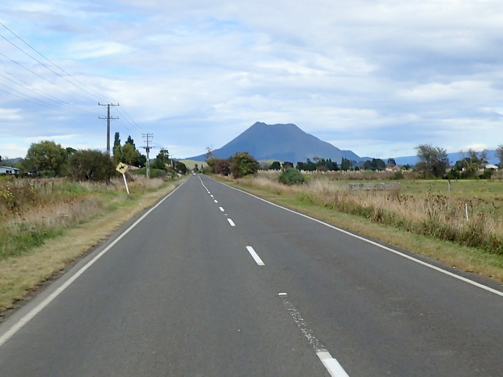
Hinehopu's Tree (as a baby she was hidden here to avoid discovery by an enemy)
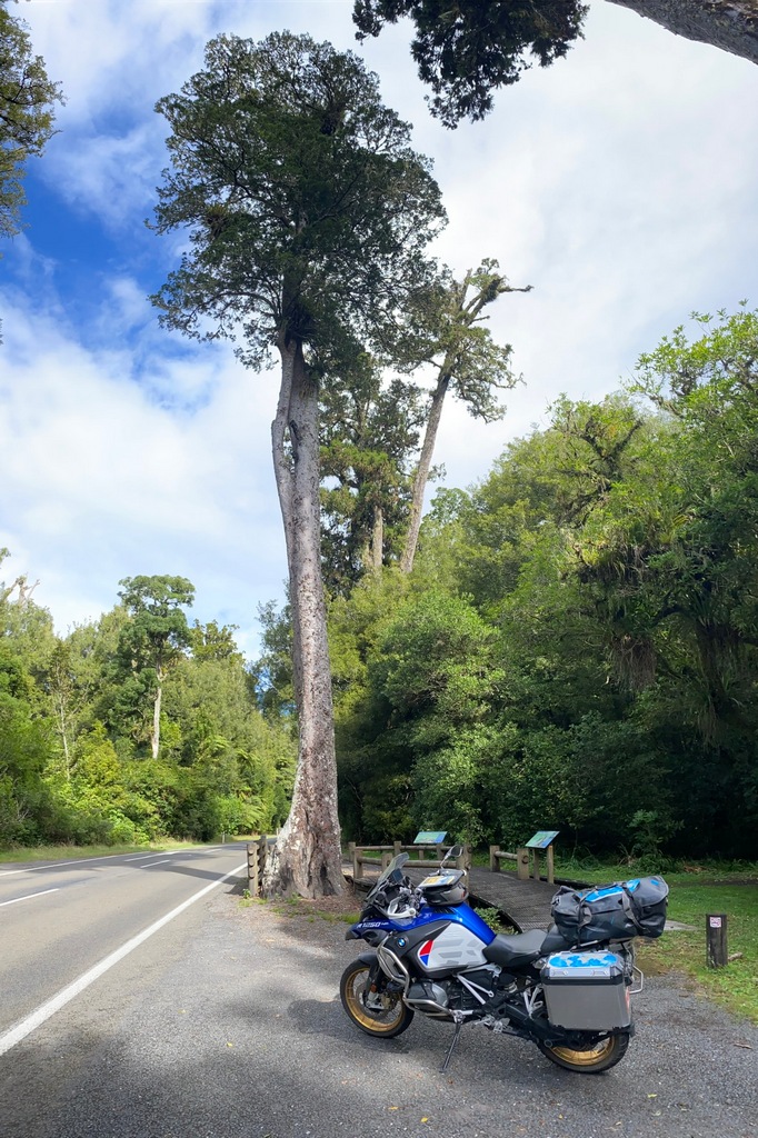
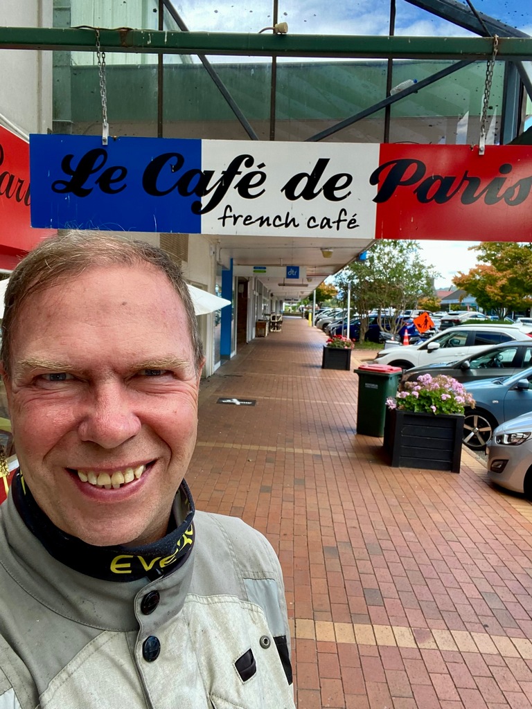
Le Parisienne is a delicious crepe
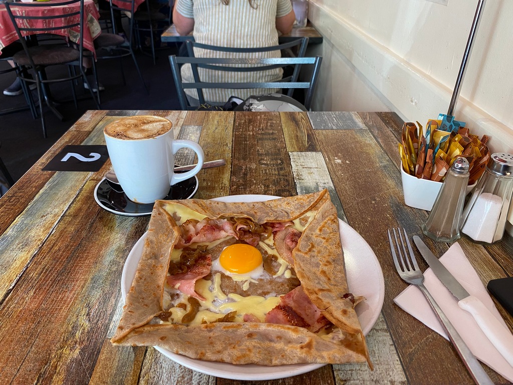
Riding parallel to the mountains
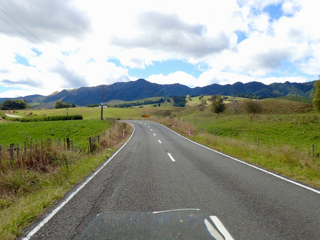
Wairere Falls with the telephoto rather than a hike
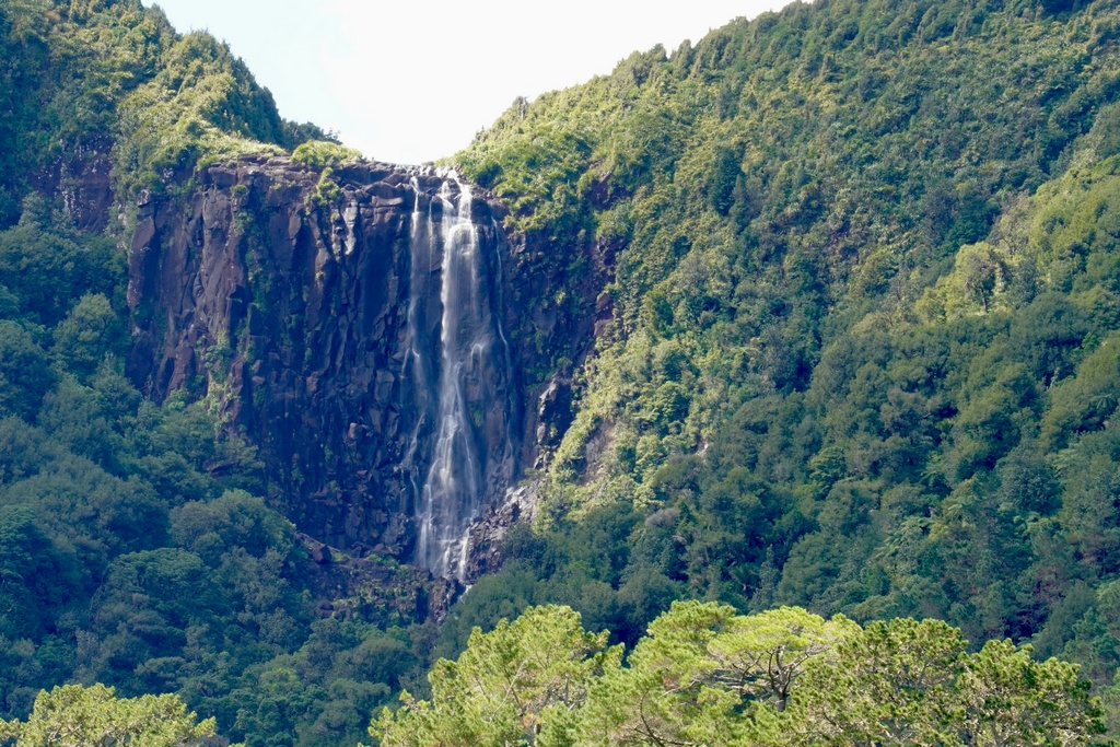
Wow, back near the Coromandel, my very first ride in New Zealand
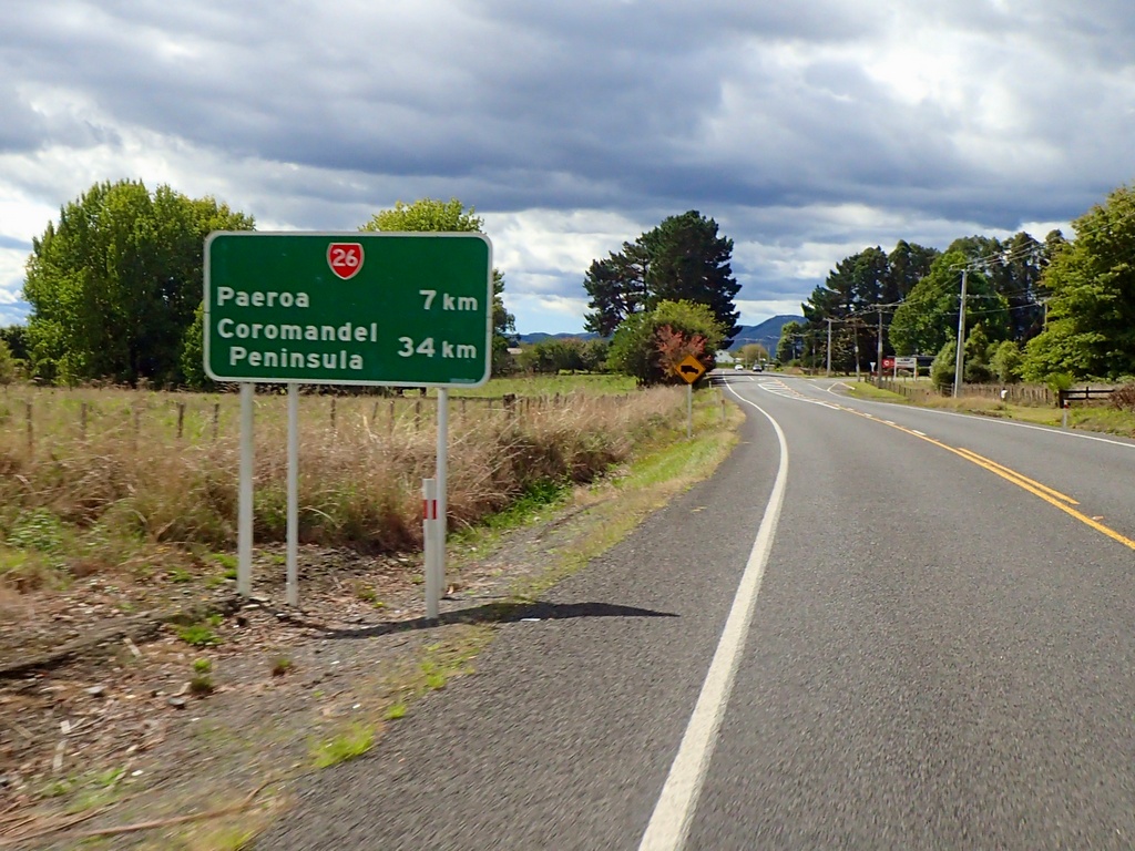
After checking in at the Pedlars Motel in Paeroa I hike the Karangahake Gorge
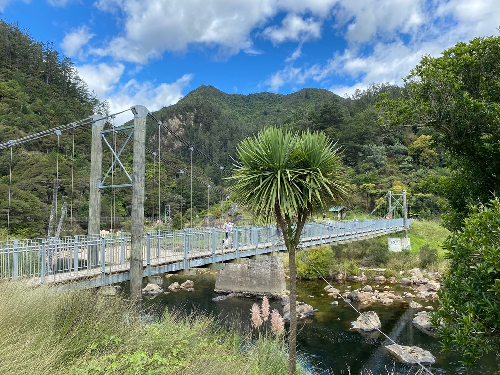
This was a gold mining area
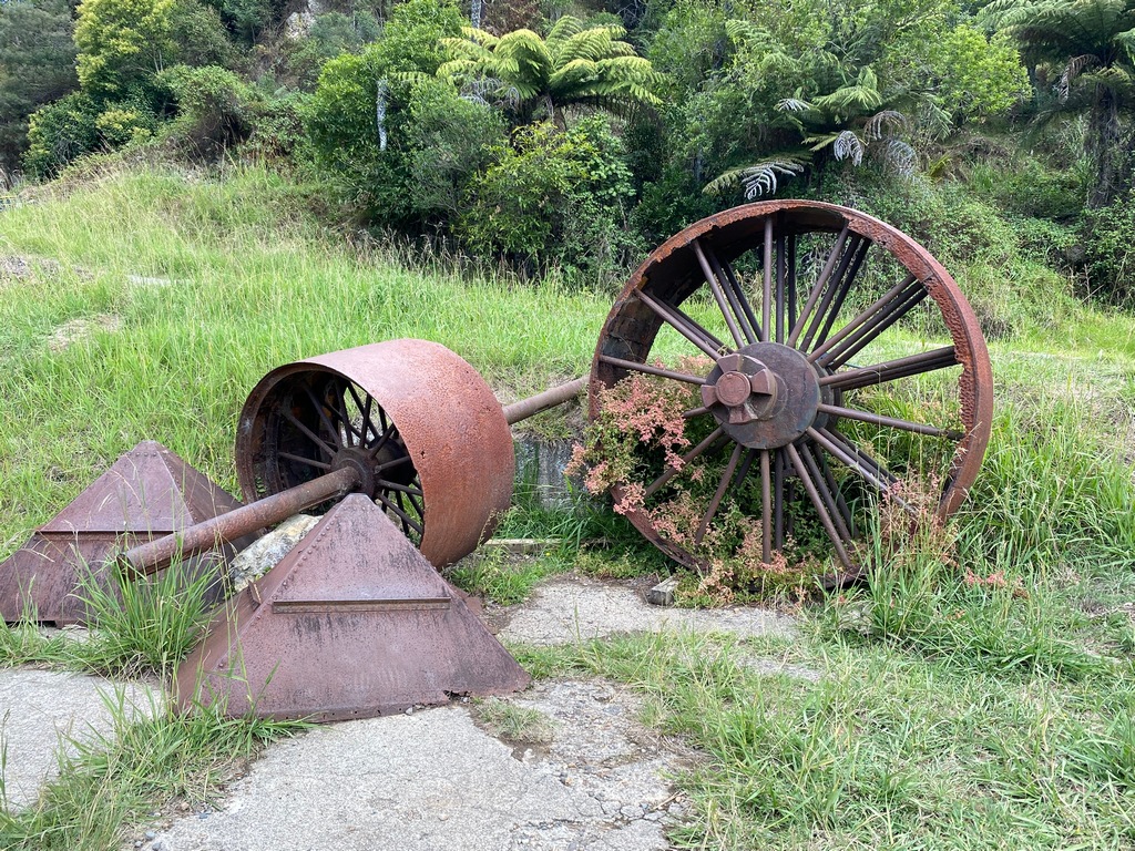
Trams were used to carry the ore for processing
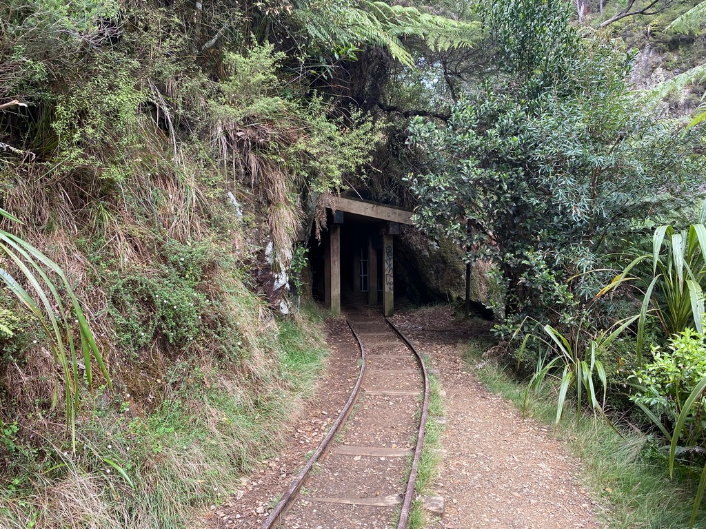
Good thing the DOC guide had suggested bringing a torch
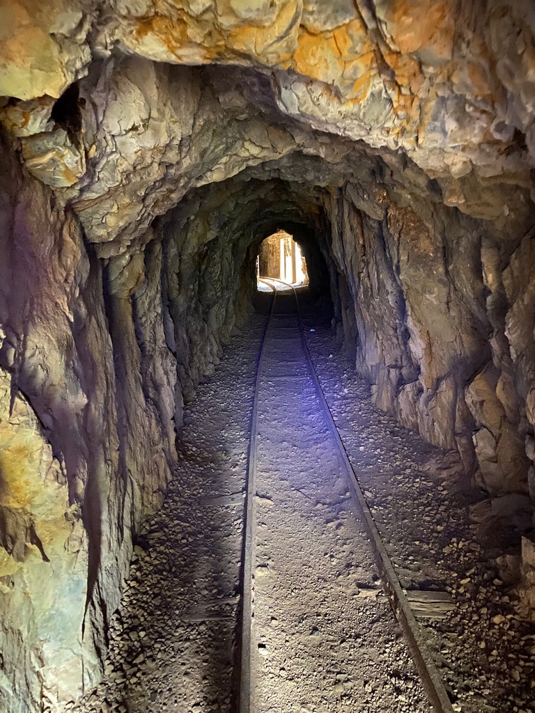
The tunnel has "windows" to look down at the track on the other side of the river
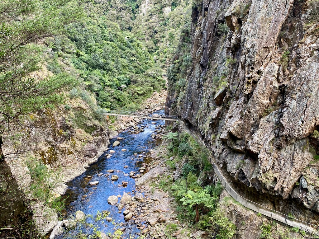
Hiking beside Highway 2 in the gorge to the train tunnel
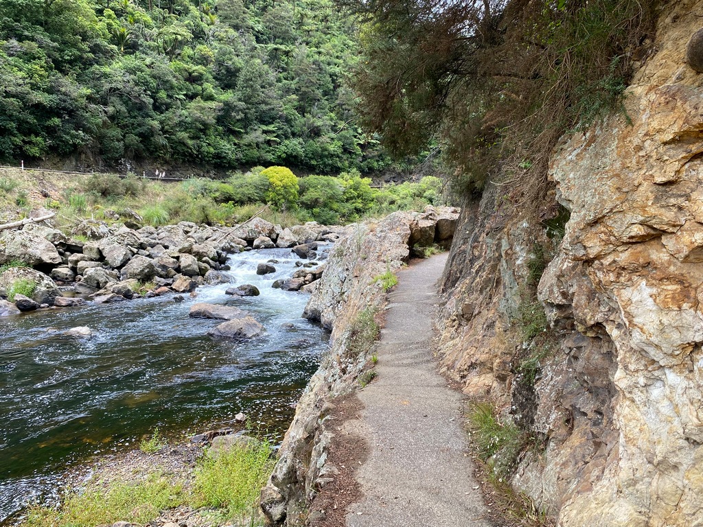
The old Paeroa to Waihi railway line has been converted to a trail (both hikers and bikers)
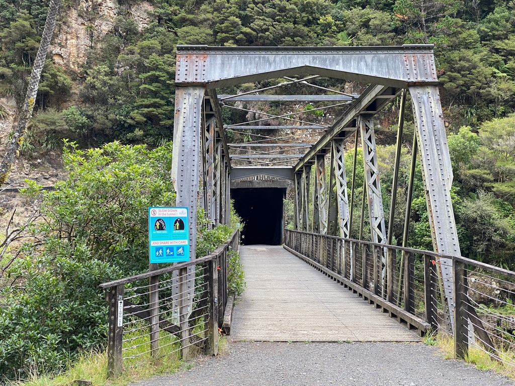
This kilometre-long tunnel has lights so I don't need my torch
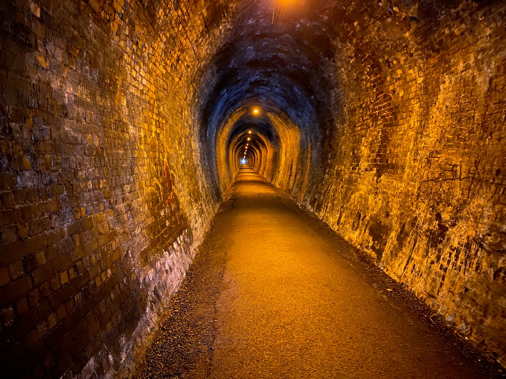
Made it to the other side!
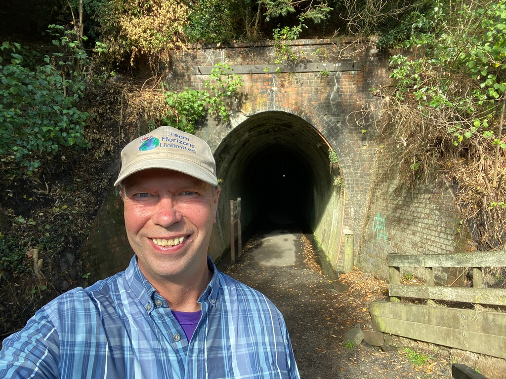
In Paeroa
I get photo bombed by The Stig (the name of the dog)
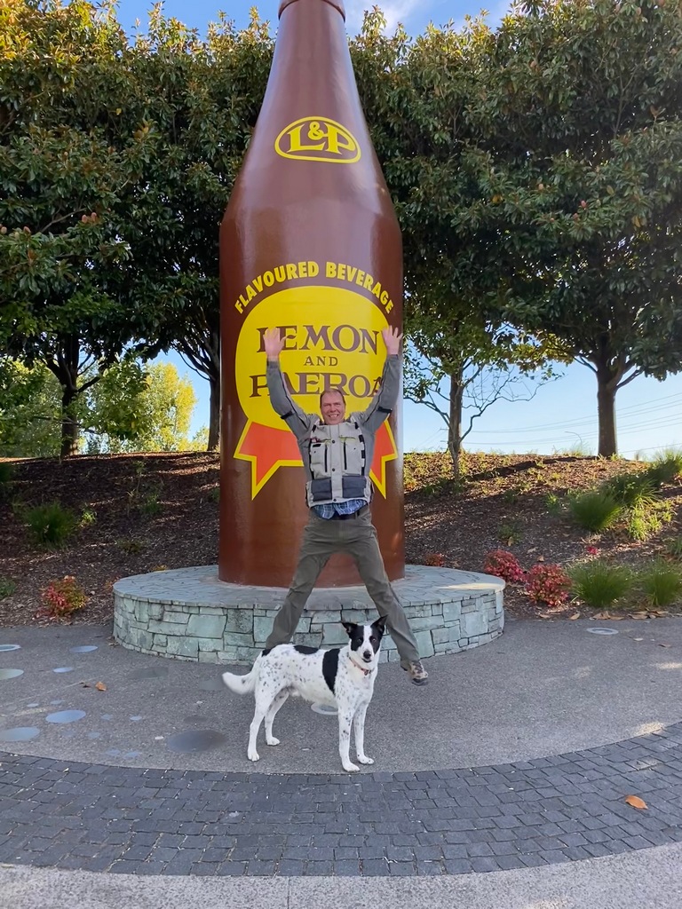
March 21 – Paeroa to Hamilton
Not sure what the symbolism is here but I am sure there must be some. On my morning walk in Paeroa I came across a lone maple leaf lying on the path. In Raglan I had a Belgian waffle for lunch. Walking along the river in Hamilton I came across a tribble lying in the middle of the path. I suppose it can only mean one thing really, the end of times. My time in New Zealand that is. Only a week left until I return my motorcycle. In Raglan, there were a lot of BMW GS motorcycles and when I saw one of the riders on the street, I asked what was going on. It was a BMW Safari organised by an Australian company. Coincidentally he was on the organising team and works at a BMW dealer near Sydney. Hopefully he’ll be a good contact to have next year when I ride Australia.A maple leaf
A Belgian waffle
A tribble
March 22 and 23 – Hamilton to Helensville to Auckland
I met Craig Maclaine at the Horizons Unlimited Travellers' Meeting in Nakusp last year. He is a Kiwi living in California but had said he would be in New Zealand towards the end of March. We have kept in contact, and he invited me to stay at his sister's place near Helensville for Saturday night. Lisa was participating in a club ride on Saturday ending at the Warbirds Association, south of Auckland so I arranged to meet her there. The Warbirds are located a few kilometres from the Beans and Leaves café, where I almost lost my phone a couple of months ago. I had a lamb and mushroom pie for lunch at the café and then, making sure my pockets were securely zipped up, I rode to NZ Warbirds at Ardmore. The planes are privately owned and quite a few were available to go on a flight. The planes on display were interesting and it was cool knowing that with a little prep they would be ready to fly. Lisa's group ride went longer than scheduled so I texted her and then rode on my own to her house near Helensville to meet Craig. Lisa and Vinnie arrived a couple of hours after me giving me time to get caught up with Craig and meet his partner, Kim. We had a fun evening as Vinnie, Lisa's partner, put on a delicious BBQ. Saying goodbye on Sunday (after Vinnie did another delicious BBQ for breakfast) I rode out to the Whangaparāoa peninsula and worked my way down the east coast to the north shore where I will be staying a few days on the other side of the bay from Auckland's downtown. So ends the riding time in New Zealand. I will be in Auckland for the week before returning the bike to Experience Motorcycles on 29 March.I could have jumped on the Highway 1 motorway but look at that smile
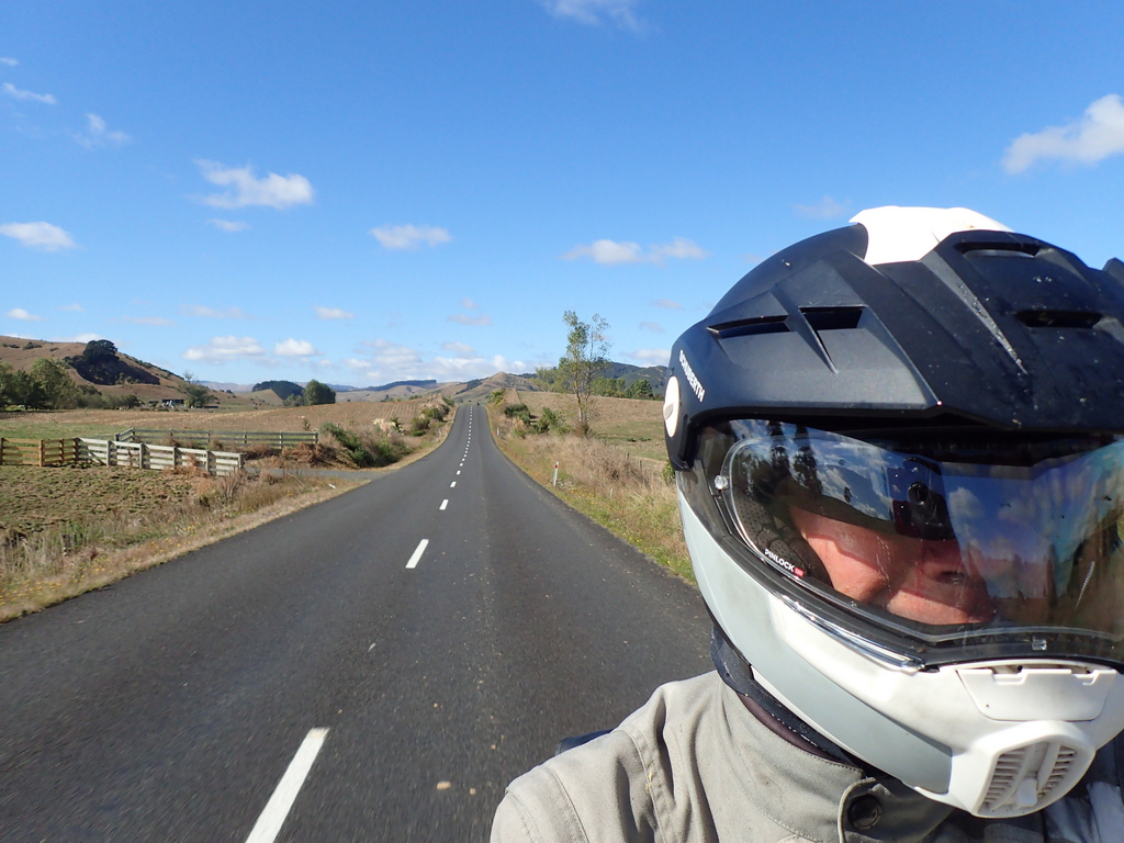
Quiet roads until Highways 1 and 2 converge
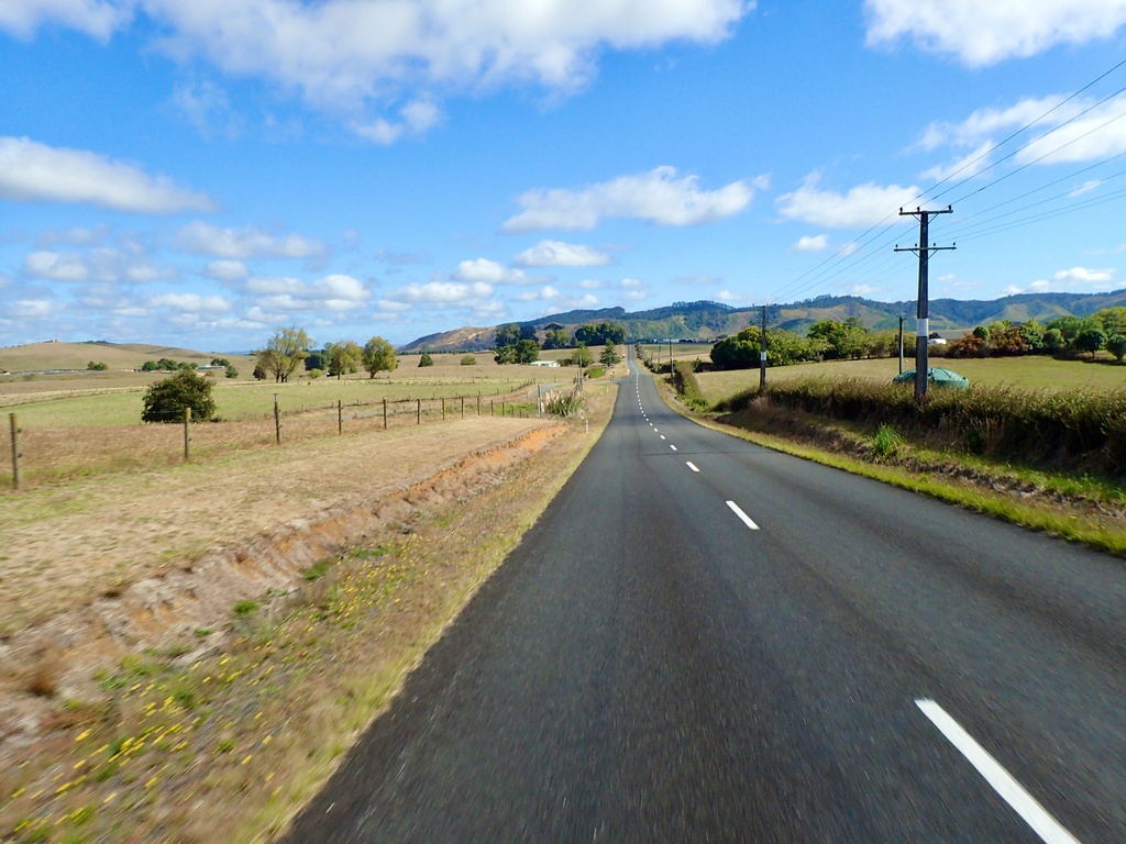
Parked at the Beans and Leaves cafe, where I lost my phone two months ago
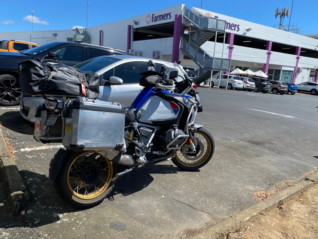
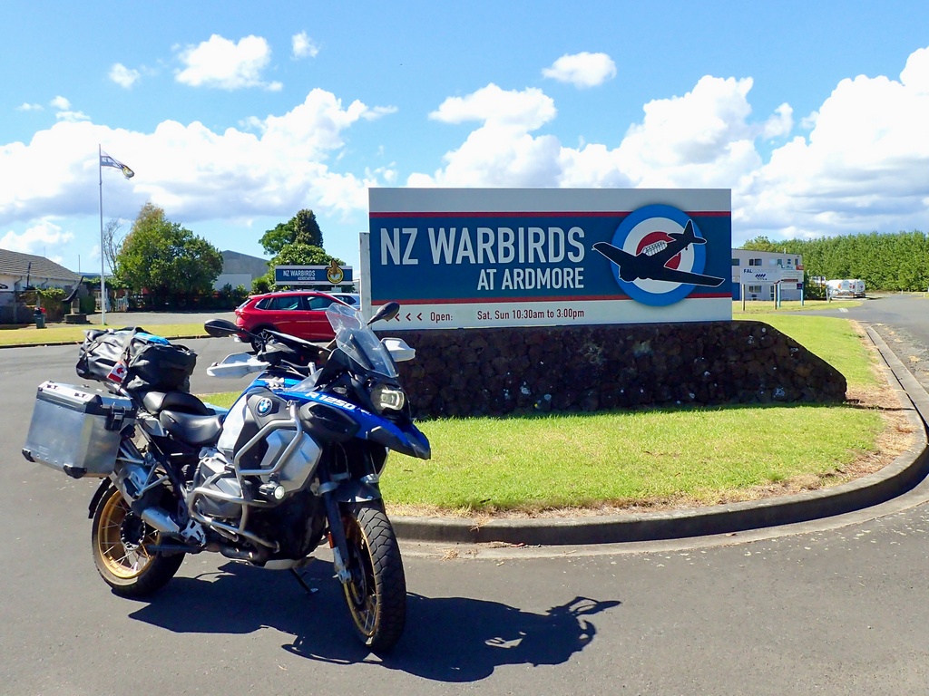
A Harvard, used for training in WW II
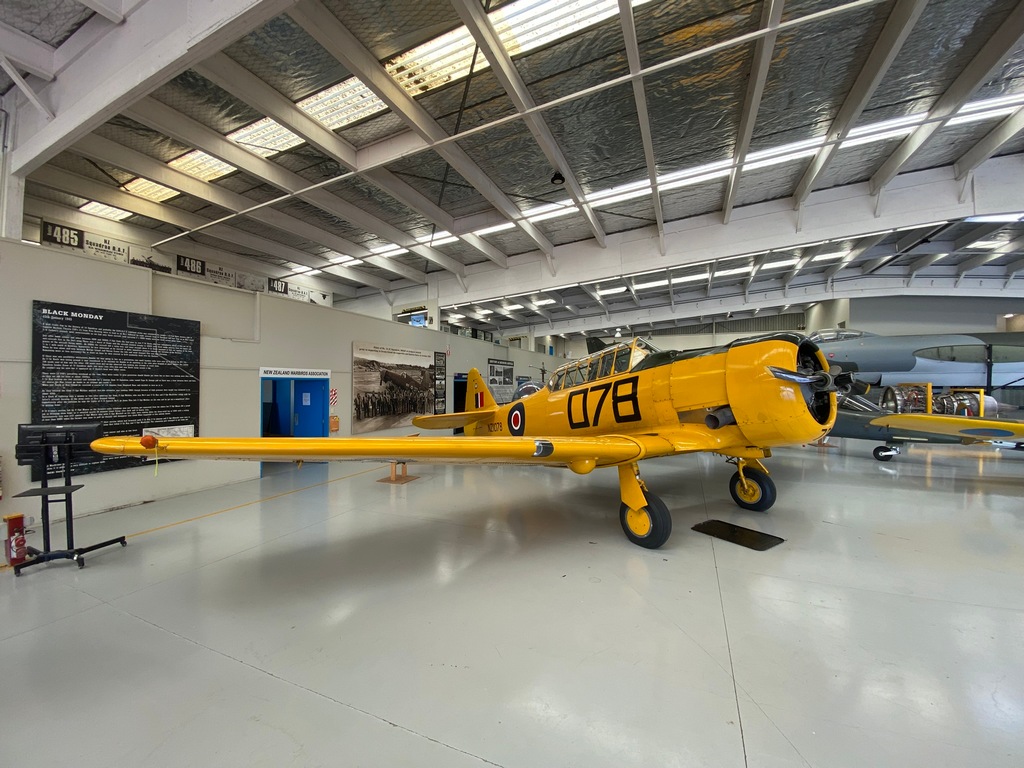
Yakovlev Yak-52 is a Soviet trainer
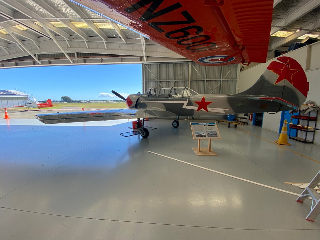
The WW I aeroplanes are in a separate hangar
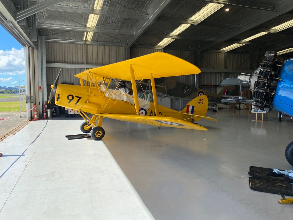
Albatros D.Va was the replacement for the Fokker Eindekker
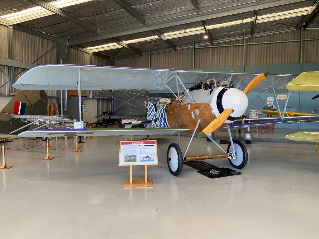
Vinnie's Indian parked next to my R1250GSA at Lisa's house near Helensville
What a fun evening!
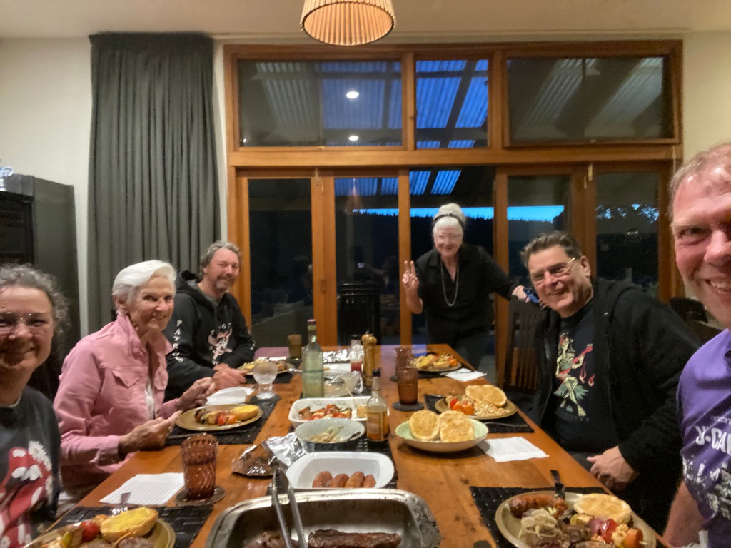
On Sunday's ride to Auckland there were lots of classic cars out
Staying across the bay from downtown Auckland
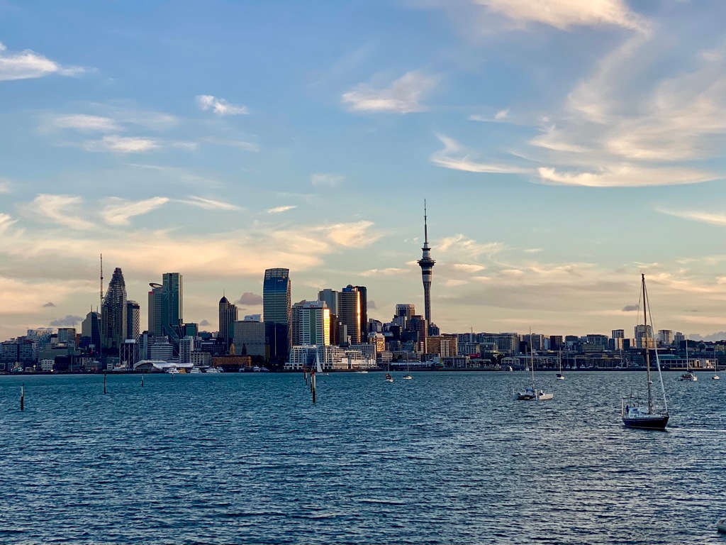
Tracks from Wellington back to Auckland
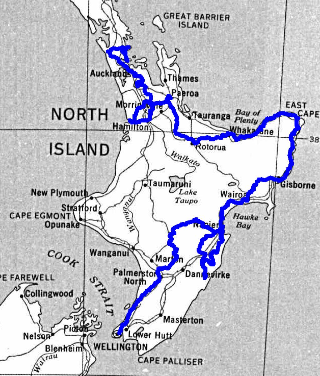
Tracks for the whole time in New Zealand (Black southbound, Blue northbound)
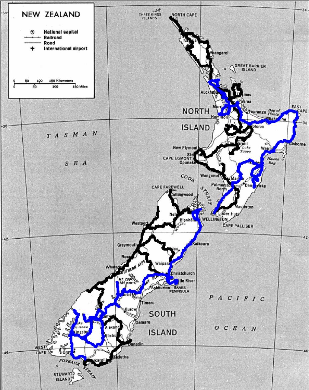
Chapter 8: End of New Zealand Trip
March 24 and 25 – Auckland
On Monday I took the 10-minute ferry ride to downtown Auckland from Bayswater where the Ocean Breeze Hotel is only a few minutes walk from the ferry terminal. Soon enough I was in familiar territory, downtown Auckland, where I had done plenty of walking a couple of months ago. I walked over to Best Ugly Bagels for lunch and then to the Auckland Art Gallery. I had missed this gallery when I was here before, and I was eager to have a look. When I first walked up to it, I was a bit concerned as scaffolding surrounded the 1887 French chateau, but the modern glass atrium entrance was open and the gallery was open. I loved seeing some of the classic masters like Picasso and Monet, but my favourite was the Māori portrait gallery. The paintings by Gottfried Lindauer were simply stunning. Tuesday, I stayed on the Bayswater side of Auckland (The North Shore) and did some prep work to return the bike, including giving it a good wash.Crossing the harbour to Auckland's CBD
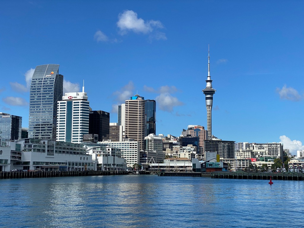
The Ferry Building
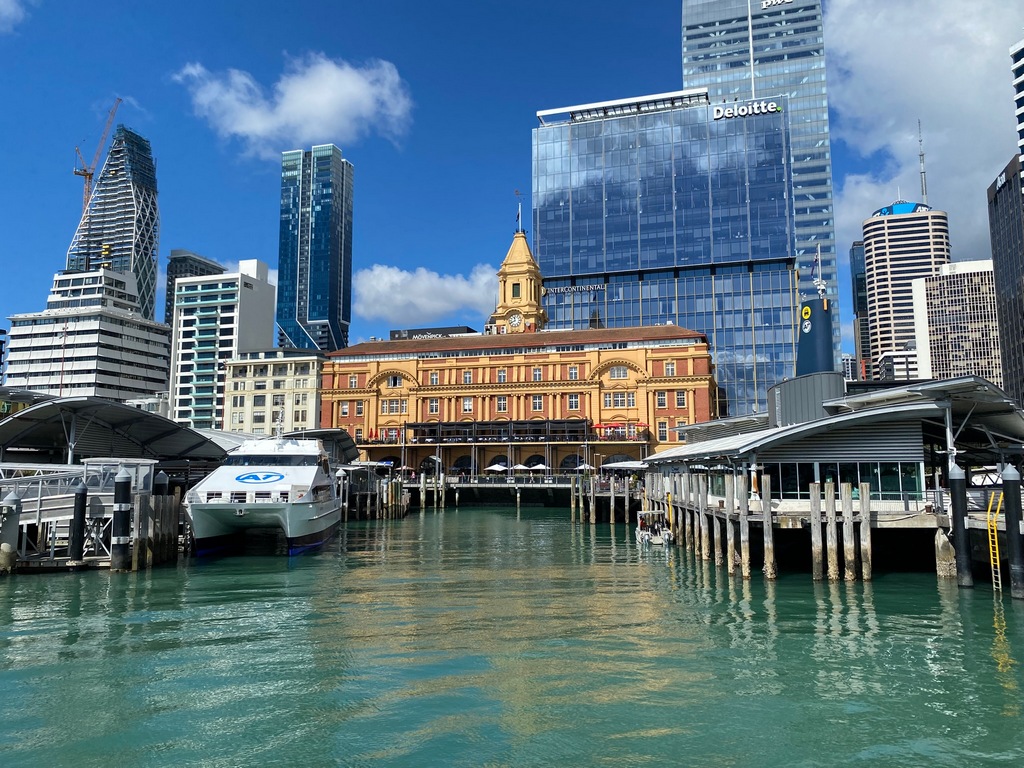
The scaffolding around Auckland Art Gallery isn't promising
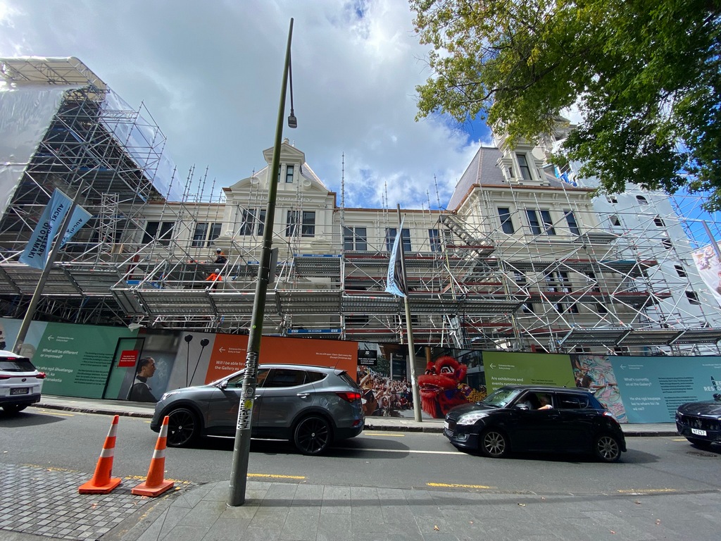
Rooms of classic paintings
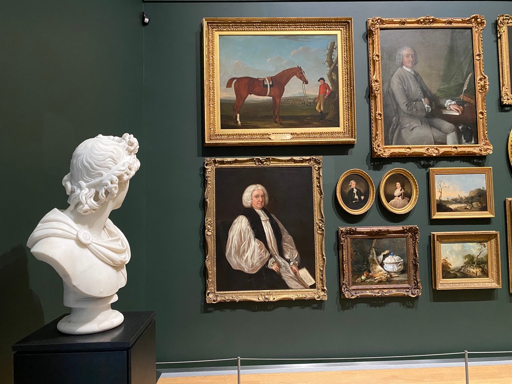
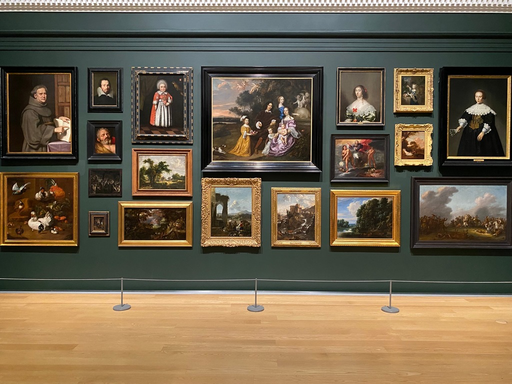
Claude Monet's "Le pont japonais"
Pablo Picasso's "Femme à la résille"
The Māori portrait gallery
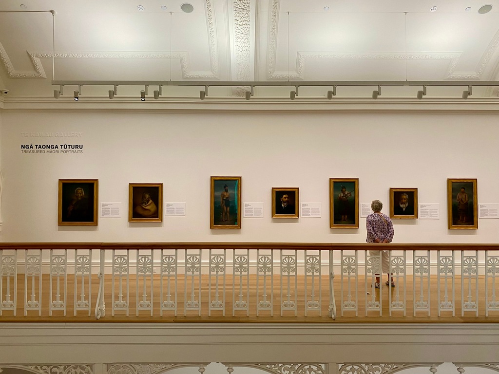
Te Hāpuku an influential chief who signed the 1838 Declaration of Independence and the 1840 Te Tiriti o Waitangi
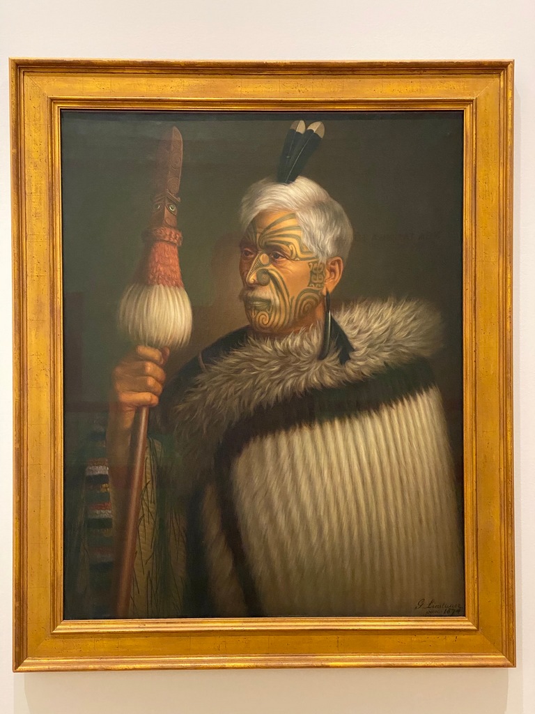
Tuhuto Ariki, a priest who lived on Mokola Island in Lake Rotorua
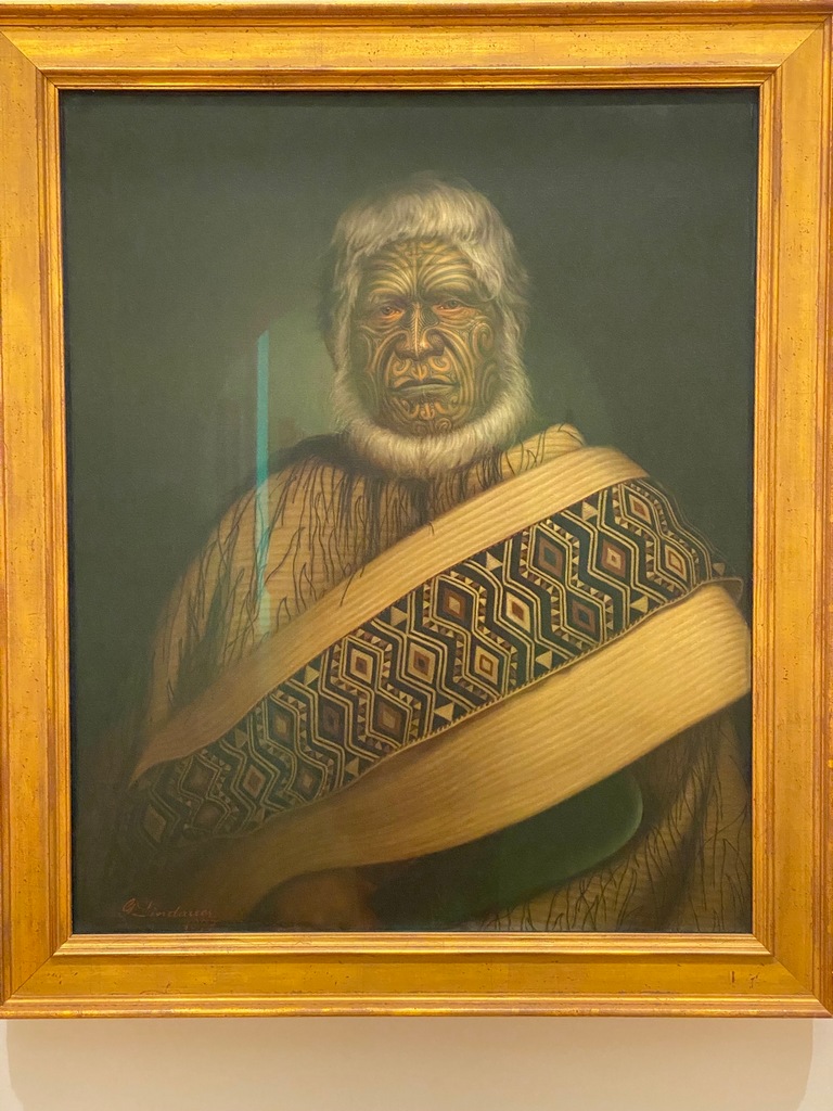
Haromi Te Ata, daughter of chief Tiakitai
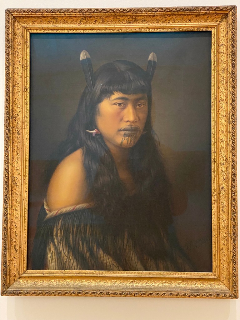
Departure of the Six Canoes from Raratonga in 1350 AD bound for Aotearoa
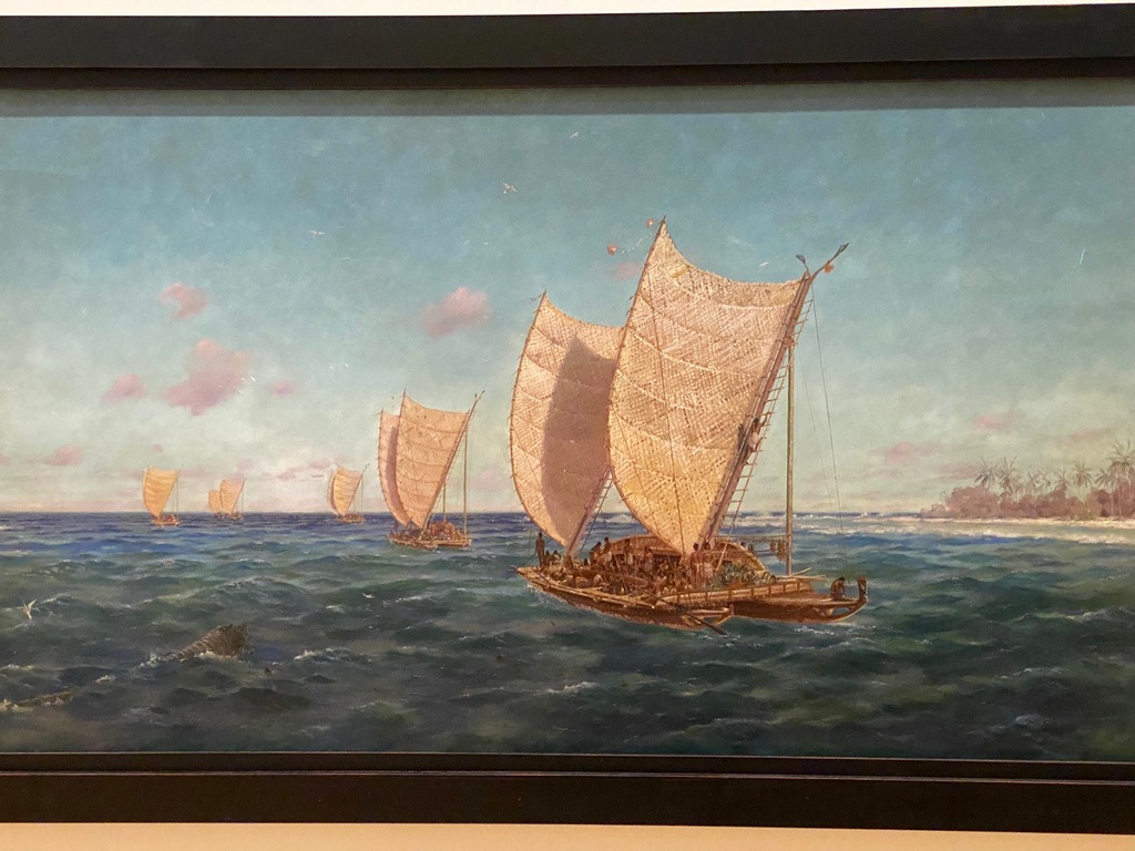
Bike wash!
March 26 – Auckland
I had kept in contact with Sagi and Ronit, the previous owners of my motorbike, and wanted to meet up with them one more time before selling the bike back to Experience Motorcycles. We met at the Puhoi Pub, apparently a famous biker hangout, about 50 kilometres north on Highway 1 from Bayswater on Wednesday. There was indeed a Harley Davidson parked out front when I arrived, but it was not the classic biker cruiser, it was a Supermoto custom based on a Pan America. There was only one motorcyclist in the pub at the time and Sagi and Ronit hadn’t arrived yet, so I asked him about the bike. It sounded like it was quite the project, especially the 17” Dymag front wheel but I think it goes to show how much New Zealanders seem to be into the moto, car and airplane culture. It isn’t about museums, though as you’ve seen there is plenty of that, but it is like an ingrained part of the culture. Maybe it has something to do with being isolated at the end of the world. Sagi and Ronit were both quite busy, so I was glad they were able to take time out of their day to visit with me for lunch and it was fun getting caught up. I again took Highway 1 back to Bayswater as alternatives to the motorway involved city riding, not the quiet country roads I loved. The motorway has a toll ($2.60) but no toll plazas, just cameras. The only way to pay is online so I made sure I did that when I got back to the Ocean Breeze. You have five days to pay but I thought I would do it right away in case the payment process didn’t go smoothly. But it did go smoothly, just like paying the speeding ticket so long ago on the South Island.A cool Harley Davidson Pan America converted to a Supermoto
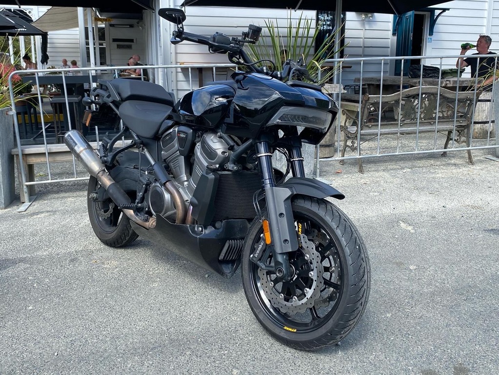
Last night on the North Shore, good night Auckland
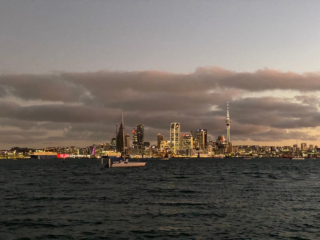
March 27 – Auckland (Bayswater to Mount Eden)
It was only a very short ride across the Harbour Bridge from Bayswater to Mount Eden where was staying for the remainder of my time in Auckland. After checking out of the Ocean Breeze I rode over to Devonport and the Stone Oven café for a treat and picked up a sandwich to go. Then I took the long way to Mount Eden. All the way out to Piha on the western shore. Piha is a famous surfing spot though infamous for swimming due to its riptide. It took a long time to get out of the Auckland metropolitan area but then the road entered the Waitakere Regional Park and started twisting through the jungle. Good fun all the way to the end of the road where I found a bench overlooking the beach and enjoyed my chicken sandwich. Just as I was finishing lunch a couple of women strolled by and asked to join me on the bench. They had their lunch, and we chatted about New Zealand and various other topics. Then it was time for me to ride back into Auckland where I checked into the Quest Mount Eden, the same place I stayed when I had the driveshaft boot repaired.Out of Auckland, enjoying tiny backroads, my favourite New Zealand pastime
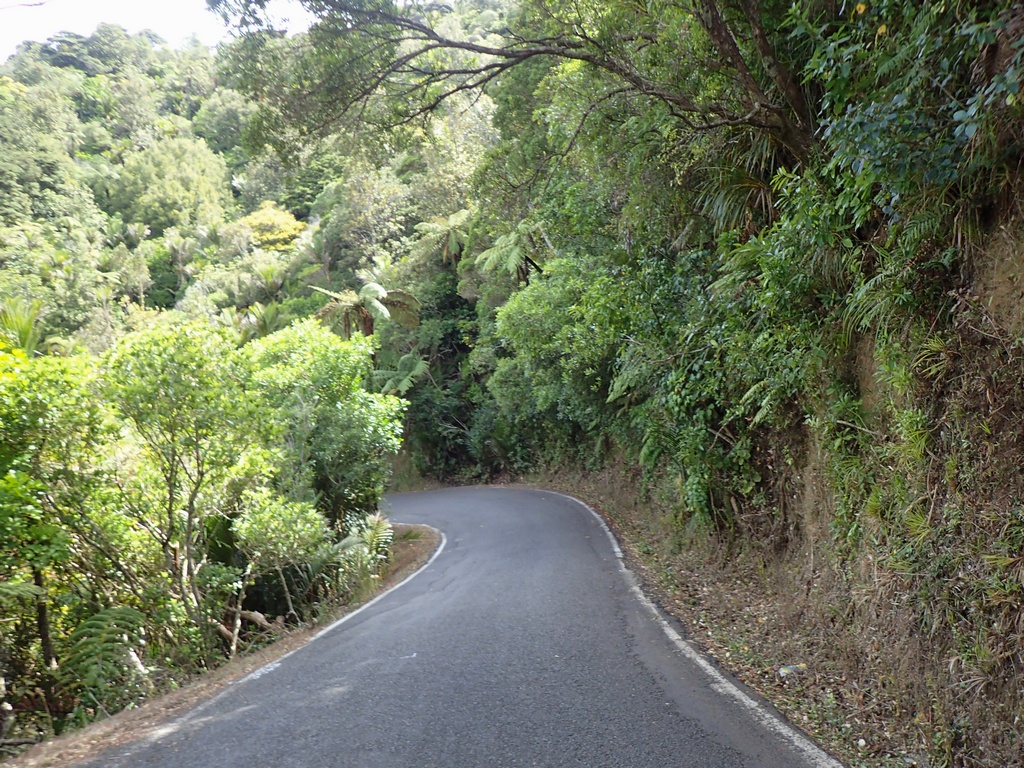
Arriving at the end of the road; Piha Beach
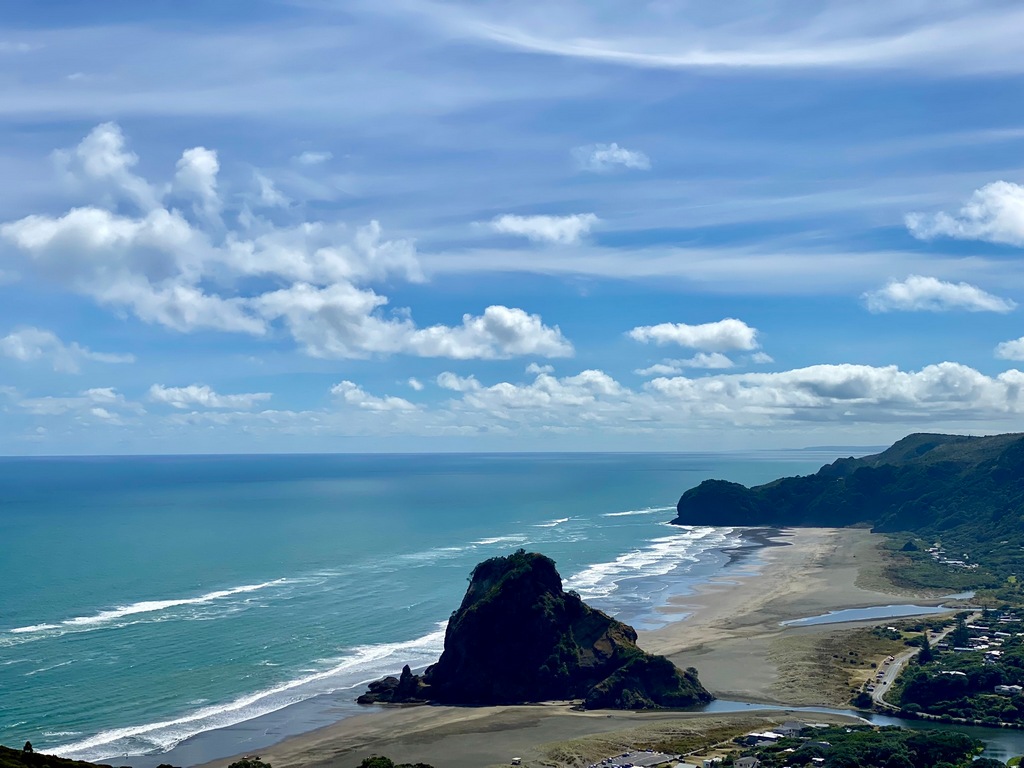
A bench near a memorial to Bizza, a surfer killed at Piha
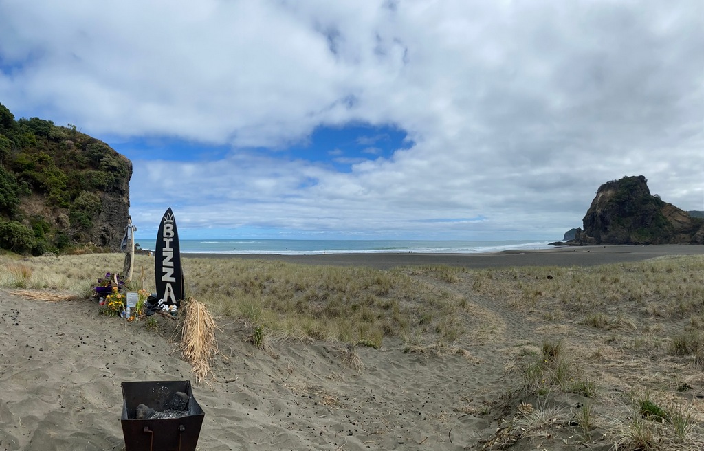
A surf club heads out to catch some breaks
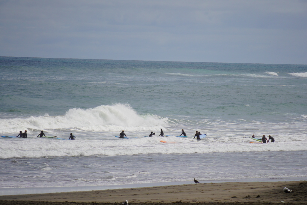
Yummy sandwich from the Stone Oven in Devonport
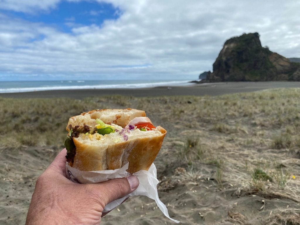
Lovely lunchtime chat
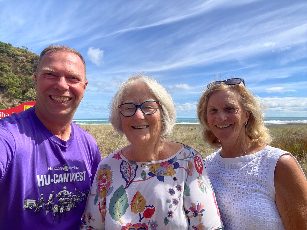
My final destination in New Zealand; Mount Eden
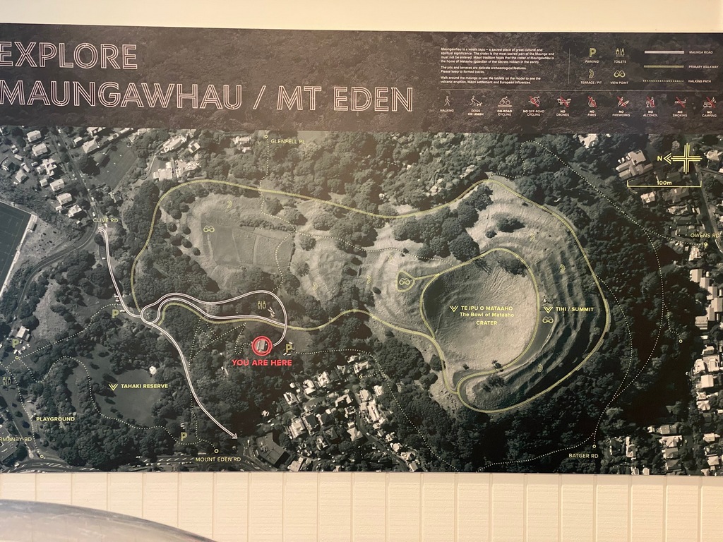
I was here a couple of months ago when I did the Coast to Coast walk
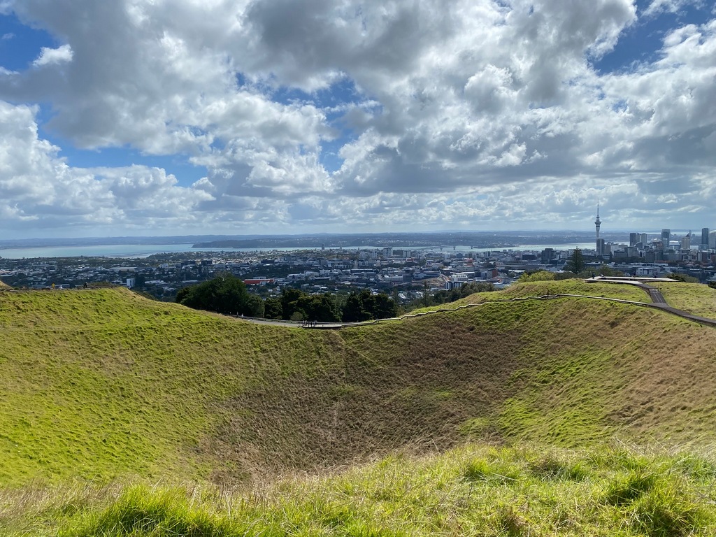
Still not used to the fact that pedestrians don't automatically have the right of way. Even in a crosswalk across from a school.
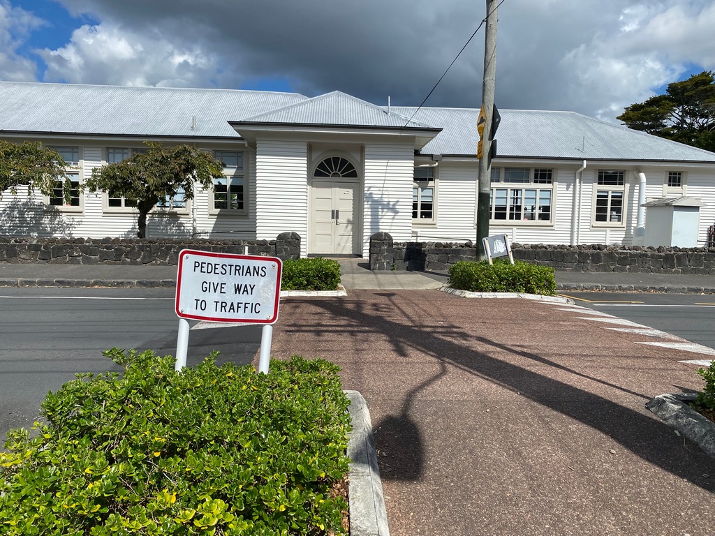
March 28 and 29 – Auckland
I did a little more prep work on the motorcycle on Friday, including removal of the stickers. Once the Canadian flag and my worldwide GPS tracks were gone it didn’t really feel like my bike anymore. The flag and tracks stickers were excellent ways to meet people and start conversations. Now it was just another New Zealand motorcycle. Only I knew the stories it harboured. Then on Saturday I returned the bike to Experience Motorcycles. I had chatted with John a while back when I first started thinking that I might go over our agreed upon mileage limit. As New Zealand is 2,000 kilometres from Cape Reinga to Bluff a return journey would be 4,000 kilometres. So, my estimate was for 8,000 kilometres, allowing for double that distance. I had told John I would put a maximum of 10,000 kilometres the bike before returning it. I blew through the 8,000-kilometre estimate by more than half. I had done 12,730 kilometres in 10 weeks and 4 days of riding. So, we agreed to knock a few hundred dollars off the buy back price and then a mechanic would do a final appraisal on Monday to ensure that everything was OK. That’s it. I gave my bike a pat on the saddle and then took the bus to Mount Eden.Before and After
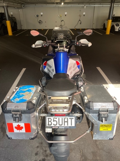
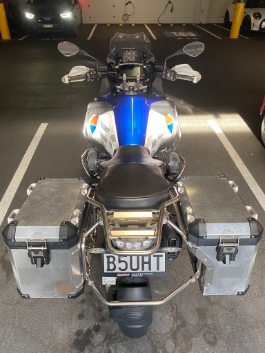
Returning the bike at the end of my journey
12,730 kilometres travelled
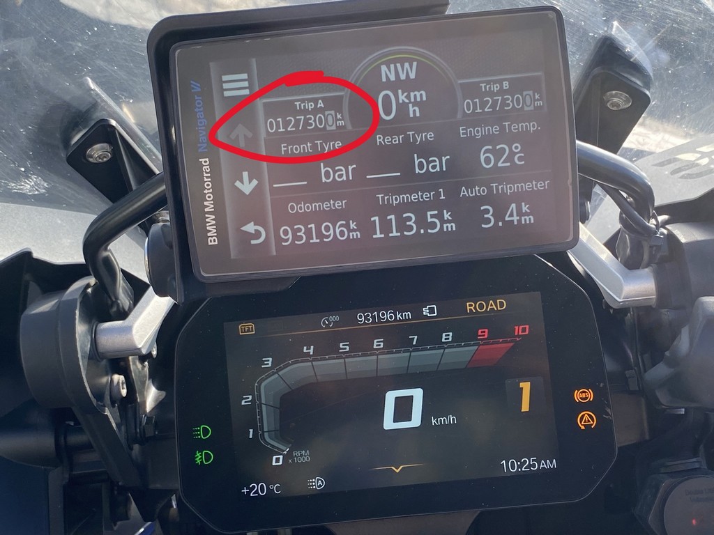
Tracks to Piha and Puhoi around Auckland
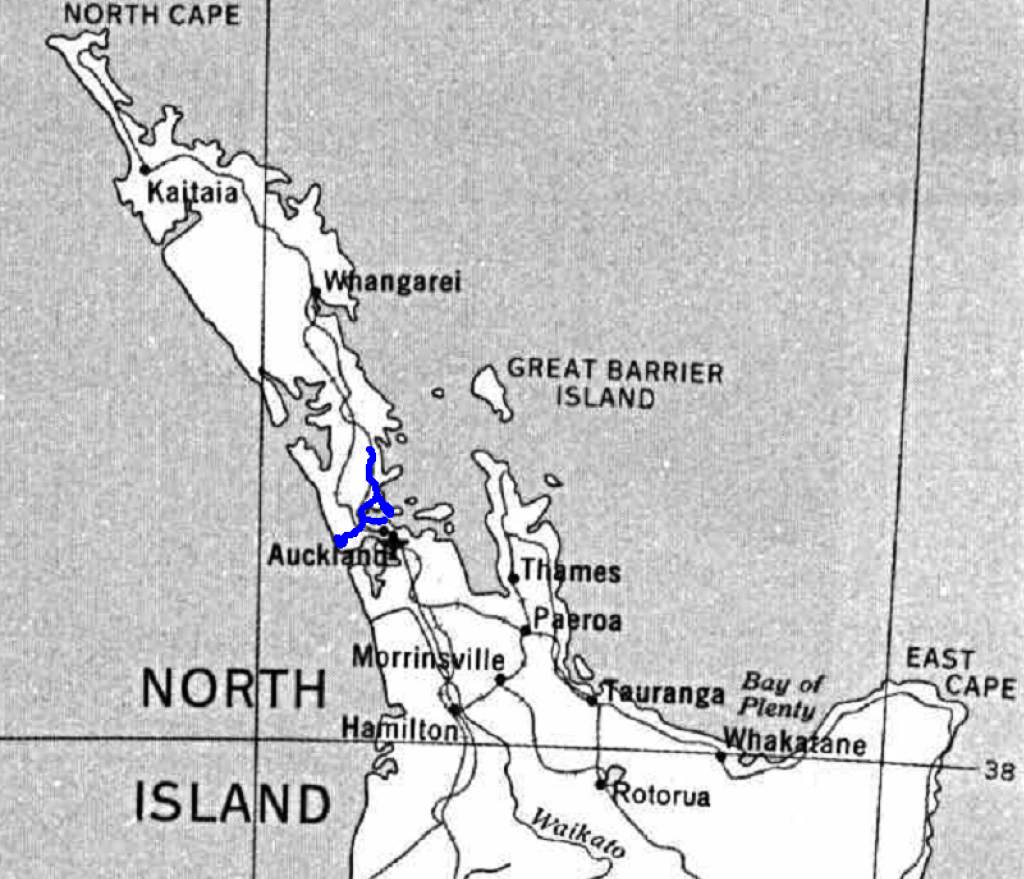
Well, it has been a fantastic 11 weeks exploring New Zealand. Audrey and I had been saving New Zealand and Australia for “dessert” after our travels around the world. We thought doing more difficult travels such as crossing the Nubian Desert in Sudan, or the Gobi in Mongolia should be done while were younger and keener to travel. Then, upon retirement, we would have an easy time of New Zealand and Australia before heading off to that rocking chair to reminisce about our travels around the world. Well, we weren’t wrong. New Zealand has been an incredibly easy country to travel in with wonderful scenery, great motorcycle roads and most importantly lovely people. In some ways, New Zealanders reminded me of South Africans as we rode south from Munich to Cape Town. Every South African we met on the road promptly invited us to come and visit when we got to the end of the continent. I had similar experiences here; with everyone I met being open and friendly, often inviting me over. Thinking back to my interactions with people I wonder how they would be different if I didn’t speak English. In other words, like when we were travelling in South America not speaking Spanish. Would I have struck up a conversation with Peter in Paeroa that ended up with a lovely evening at an Indian restaurant in town? I doubt it, just like we really didn’t have many meaningful interactions with people in South America, not because the people weren’t friendly but because we were limited in our language skills.
Before the trip and even during the trip I sometimes thought that I was spending more time in New Zealand than I really needed to. It is true that I probably could have taken an organized tour of three weeks and seen most of the sites and ridden the good roads that I had done over three months. A couple of thoughts on that crossed my mind. First is that the gift of time gave me much more flexibility. The flexibility to stay near Aoraki/Mount Cook for three days until the clouds were whisked away. The flexibility to visit the Karangahake Gorge when a friend in Canada suggested it, leading to the meeting with Peter in Paeroa. The second thought was that I would rather spend the summer in New Zealand than the winter in Canada. Fall has started here with leaves beginning to change colour and cool mornings, so it is time to head home to Spring (probably in time for a Spring snowstorm). I will be stopping off in Fiji for a week before tackling the long flight to Vancouver, the perfect ending to a fantastic trip. The cherry on top of my dessert so to speak.